Parking
The spur starts at a remote junction on the North Shore Shoshone Lake Trail, not at a parking area. Use the current park backcountry map to plan the walk-in from a road-accessible trailhead; the 2.4 miles covers only the Pocket Lake spur.
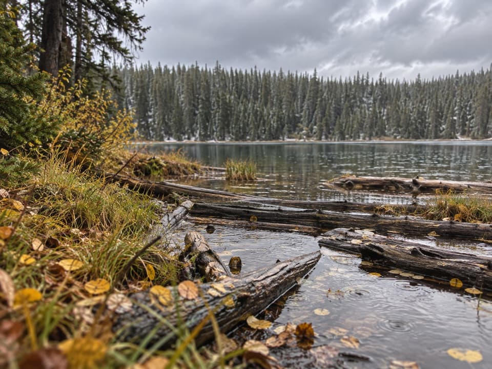
Yellowstone National Park, WY · MT · ID
A steep forest trail reaches a small backcountry lake.
Overview
Map & elevation
Plan your hike

The highest, rockiest slopes around here are a summer buffet for grizzly bears.
Yellowstone Tour Guide
Parkwolf is a GPS audio tour guide for Yellowstone National Park. As you drive, it chimes in with what’s ahead: hidden gems, upcoming stops, history, geology, and wildlife, right through your car’s speakers.
See the Yellowstone audio tourMore stories near here in the app
“First time driving through a national park. We used the Yellowstone tour on grand loop Road and it’s just like having a tour guide in your car with you.”


Trail guide
Pocket Lake Trail is a 1.2-mile spur from the North Shore Shoshone Lake Trail to Pocket Lake. Walk it back the same way for about 2.4 miles, with roughly 440 feet of climbing; allow around two hours for the spur itself. The payoff is a small lake tucked into a forested plateau. It is a worthwhile detour if you are already on the North Shore route, but it is not a short walk from a road: the junction is remote, and the 2.4-mile figure does not include getting there.
The trail starts climbing right away through lodgepole pines. It was built north of the outlet creek instead of following the older fisherman's path beside the water, and there are occasional glimpses of Shoshone Lake through the trees. Near the end, the path dips slightly into the pocket where Pocket Lake sits. The climb is the work here; there is no summit or big overlook.
Pocket Lake covers about 14 acres and is known for cutthroat trout. Turn around at the lake and return on the same trail. No food, potable water, or facilities were found at the spur or its junction, so plan for the full backcountry outing. Day hiking in Yellowstone does not require a permit, but grizzly bears frequent this area; carry bear spray. Pets are not allowed on trails. Plan the road-to-junction approach separately and check current backcountry conditions before setting out.
Wildlife
 713 sightingsGrizzly BearMost seen around 6 AMSighting map
 743 sightingsWolfMost seen around 6 AMSighting map
 5,273 sightingsBisonMost seen around 7 AMSighting map
 3,258 sightingsElkMost seen around 7 PMSighting map
 397 sightingsMooseMost seen around 7 PMSighting map
 1,494 sightingsBlack BearMost seen around 7 PMSighting map
Sighting maps show where each species has been reported across Yellowstone. Wildlife moves, so no sighting is guaranteed.
Keep exploring
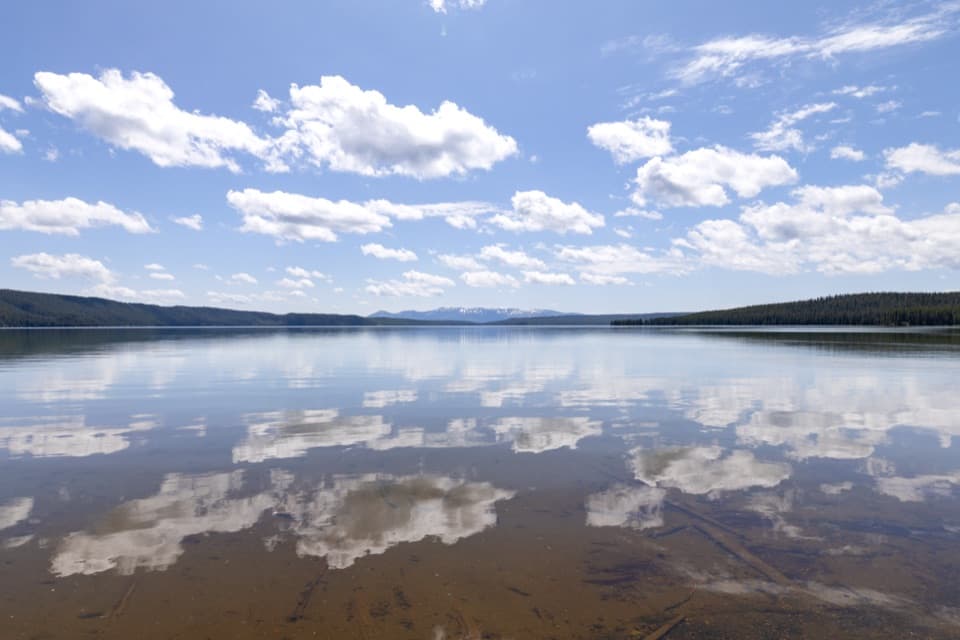 ModerateNorth Shore Shoshone Lake Trail8.3 mi · 6 hr · 1.4 mi awayA remote one-way walk from lake beach into lodgepole forest.
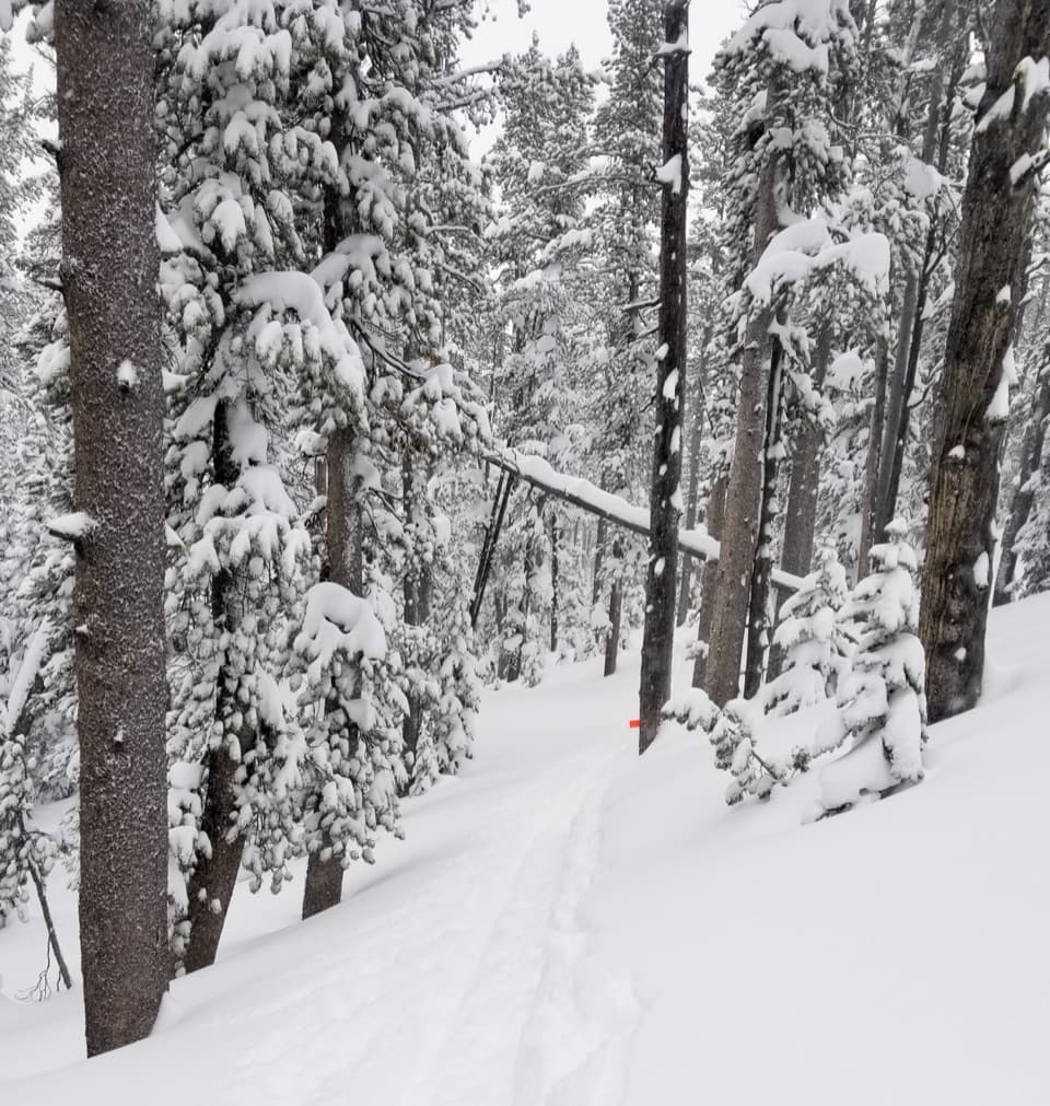 ModerateDivide Trail3.4 mi · 2.3 hr · 2.8 mi awayA 3.4-mile out-and-back to a former fire lookout site.
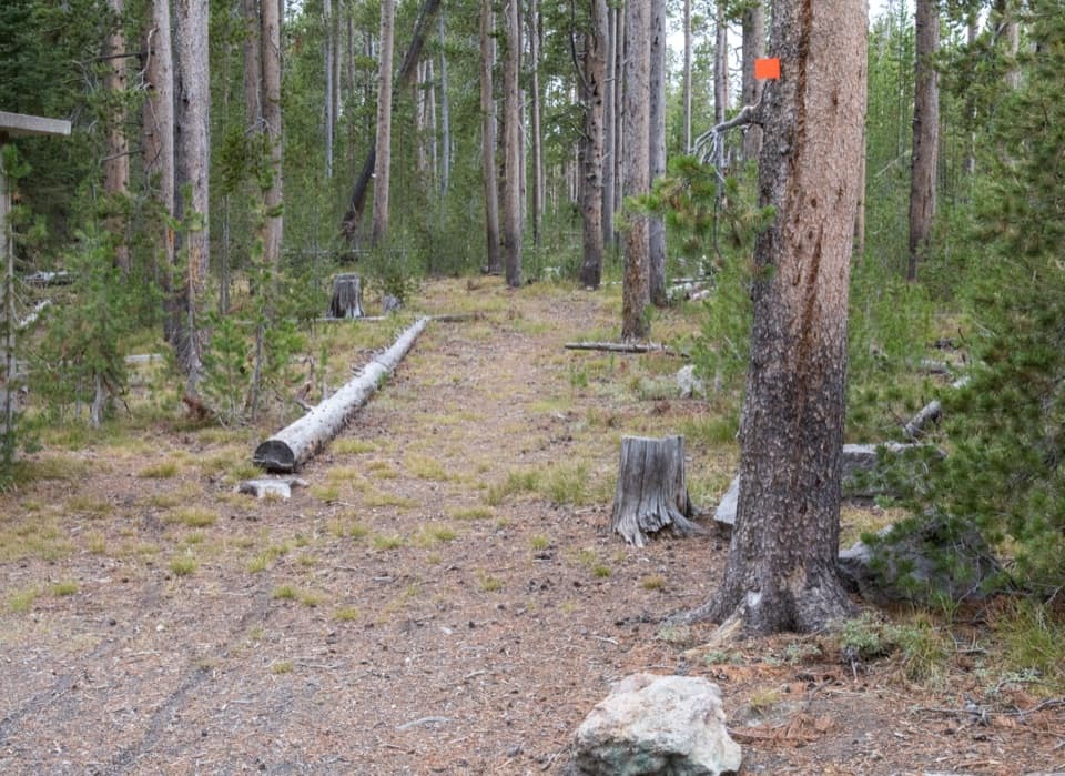 ModerateSpring Creek Trail8 mi · 4 hr · 2.8 mi awayAn old stagecoach road follows the creek to the Firehole.
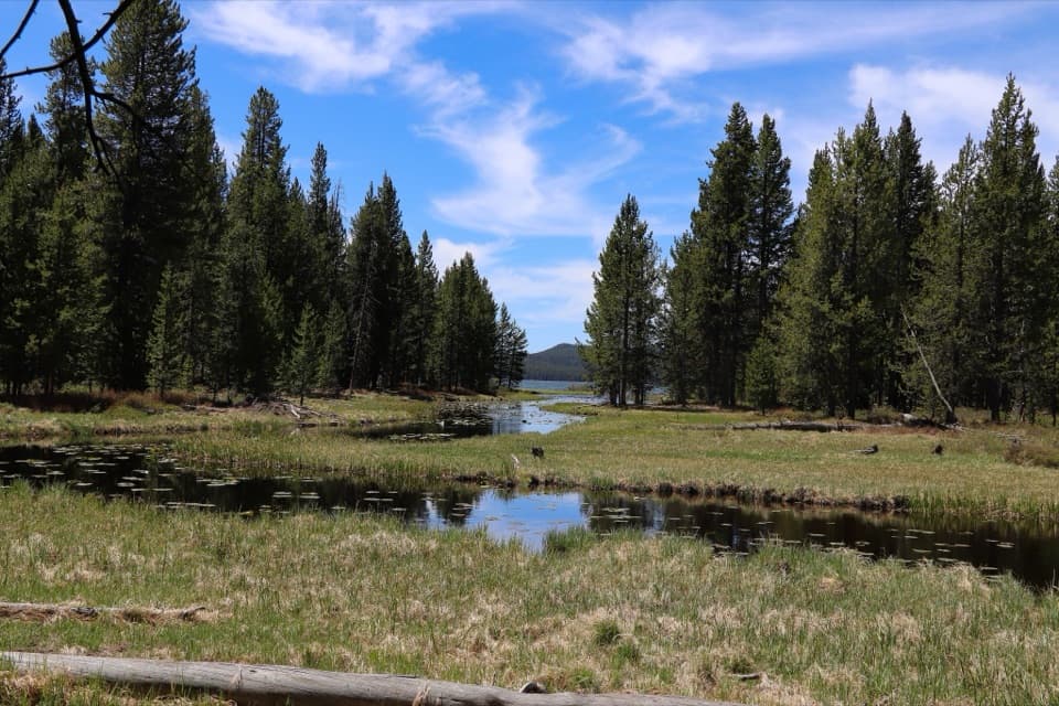 EasyDeLacy Creek Trail5.8 mi · 4 hr · 3.6 mi awayEasy meadows lead to remote Shoshone Lake.
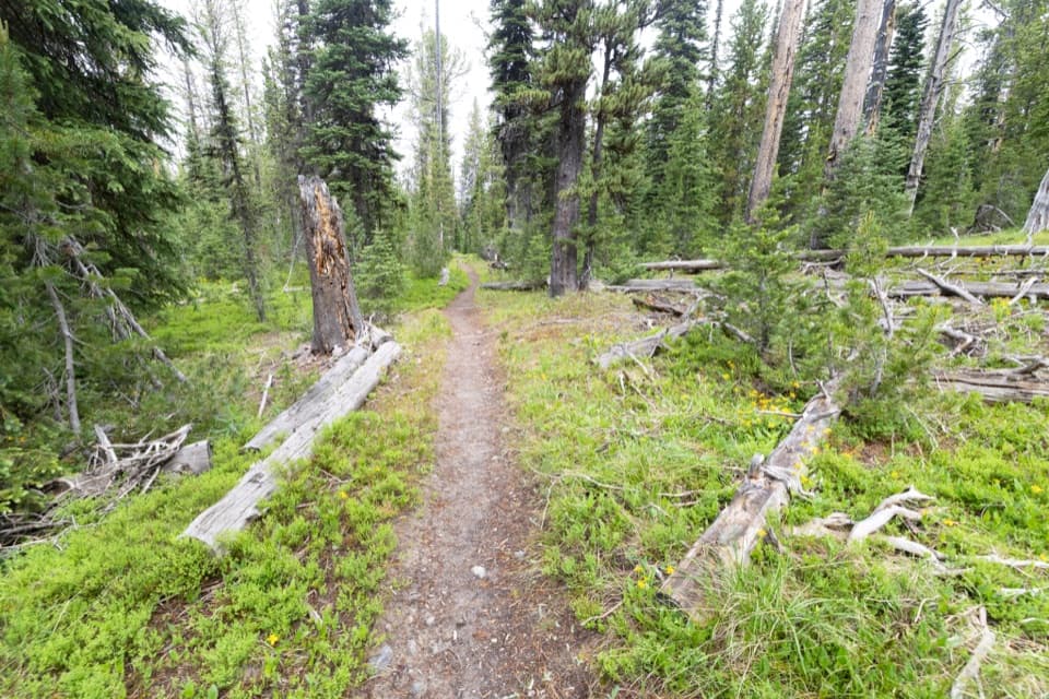 ModerateSouth Shore Shoshone Lake Trail9.1 mi · 5.5 hr · 4.7 mi awayA remote traverse with two cold fords and a brief lake view.
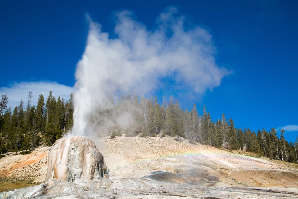 EasyLone Star Geyser Trail4.8 mi · 2.5 hr · 5.4 mi awayEasy Firehole River walk to a geyser with roughly three-hour eruptions.
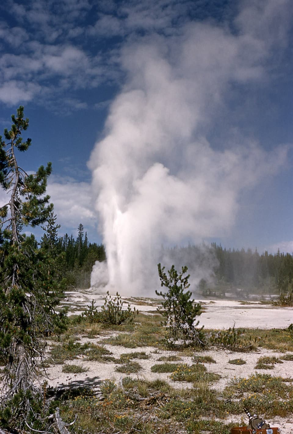 ChallengingShoshone Geyser Basin Trail17 mi · 8.5 hr · 5.4 mi awayMore than 80 geysers, with no boardwalks and a long hike in.
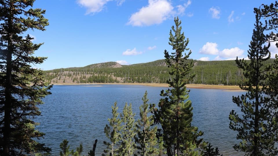 ModerateMallard Lake Trail7 mi · 4.5 hr · 6.7 mi awayPipeline Hot Springs and a Firehole crossing lead to Mallard Lake.
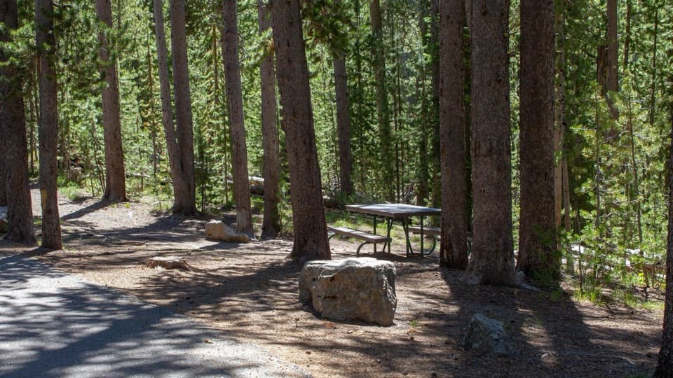 Picnic area · 2.9 mi awaySpring Creek Picnic AreaCraig Pass picnic break with nine tables and two fire grates
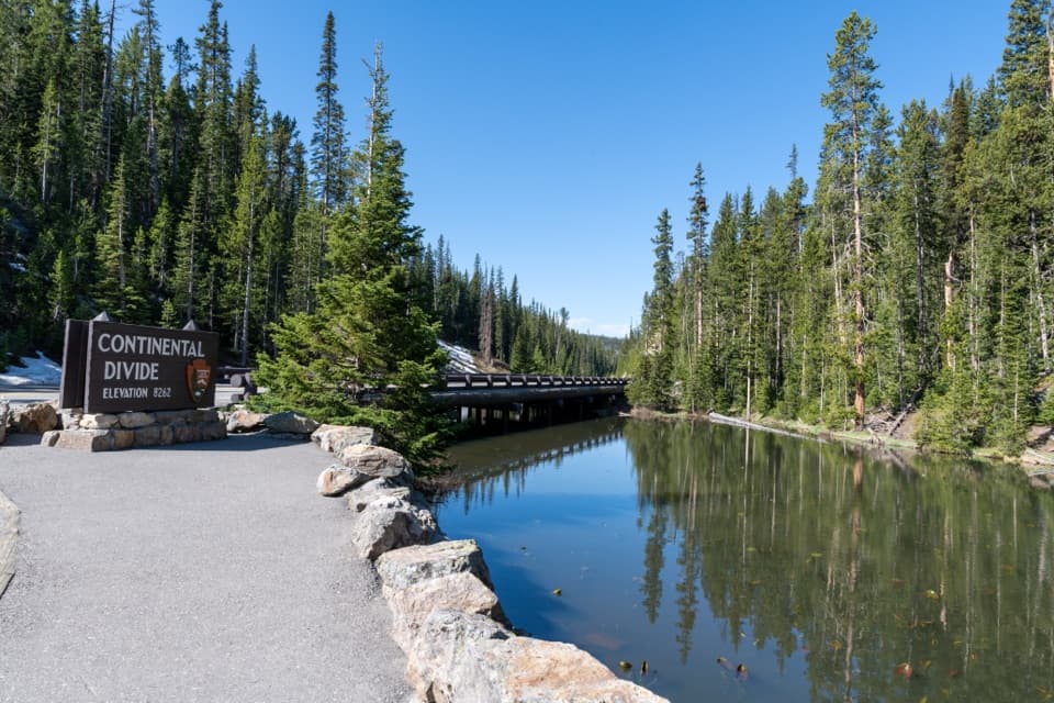 Sight · 3.1 mi awayIsa Lake and Continental DivideA small lake with a snowmelt-dependent two-ocean story.
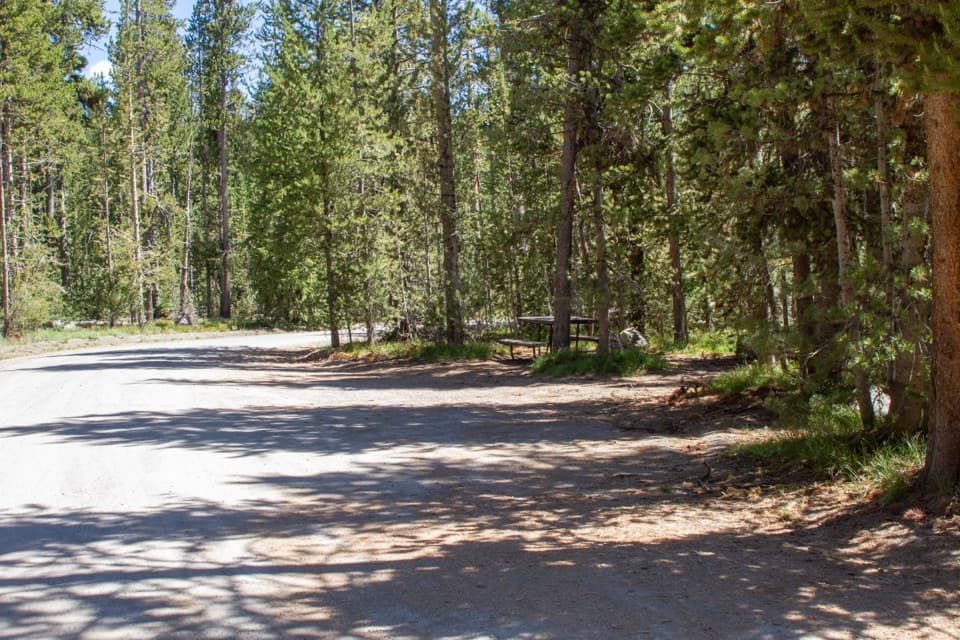 Picnic area · 3.8 mi awayDeLacy Creek Picnic AreaA handy picnic stop at Craig Pass with a vault toilet.
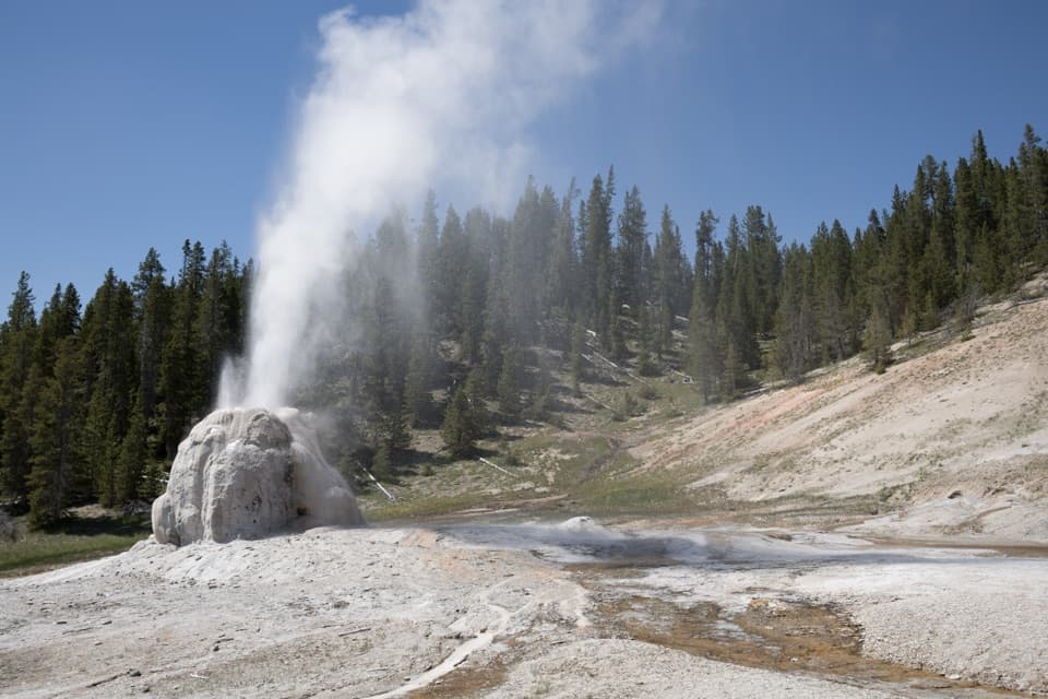 Sight · 4.7 mi awayLone Star Geyser4.8-mile river walk to a geyser whose eruptions average three hours apart.
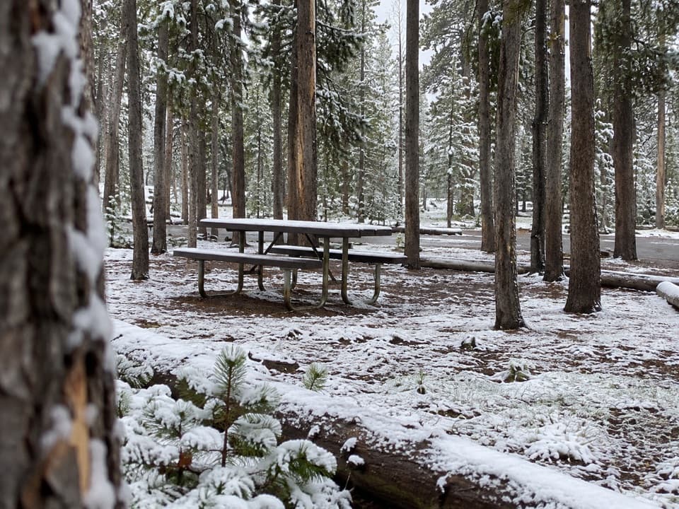 Picnic area · 4.9 mi awayEast Divide Picnic AreaA simple picnic stop with 14 tables and a vault toilet.
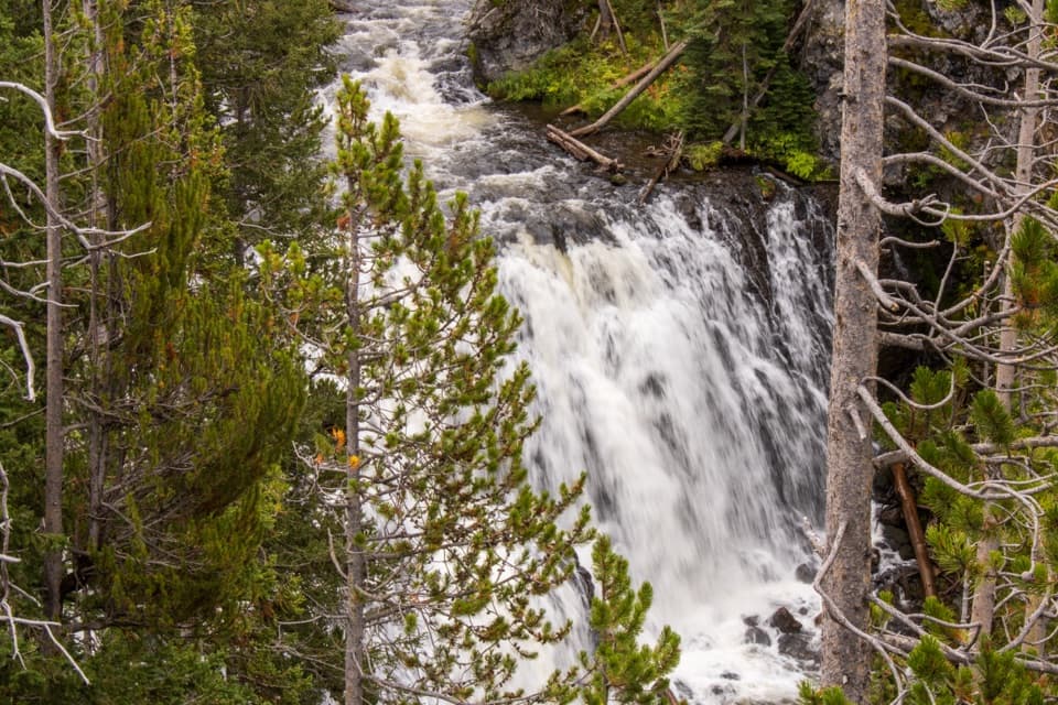 Sight · 5.6 mi awayKepler CascadesThree tiers of Firehole water tumbling into a wooded ravine.
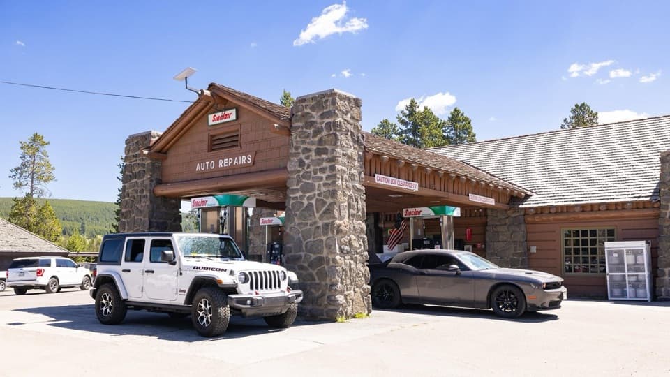 Gas station · 6.8 mi awayOld Faithful Gas and Service Station - UpperA useful in-park stop for fuel, propane, snacks, or repairs.
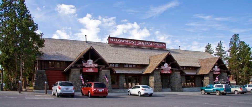 Store · 6.9 mi awayOld Faithful General Store - UpperA 1929 general store with a huge fireplace and practical supplies.
Parkwolf’s Yellowstone ranking

The audio tour guide for the drive, plus offline maps, trails, and wildlife heatmaps for when the signal drops.