Parking
Use Lone Star Trailhead (OK1) on Grand Loop Road, east of the Kepler Cascades pullout and about 3.5 miles southeast of the Old Faithful overpass.
Yellowstone National Park, WY · MT · ID
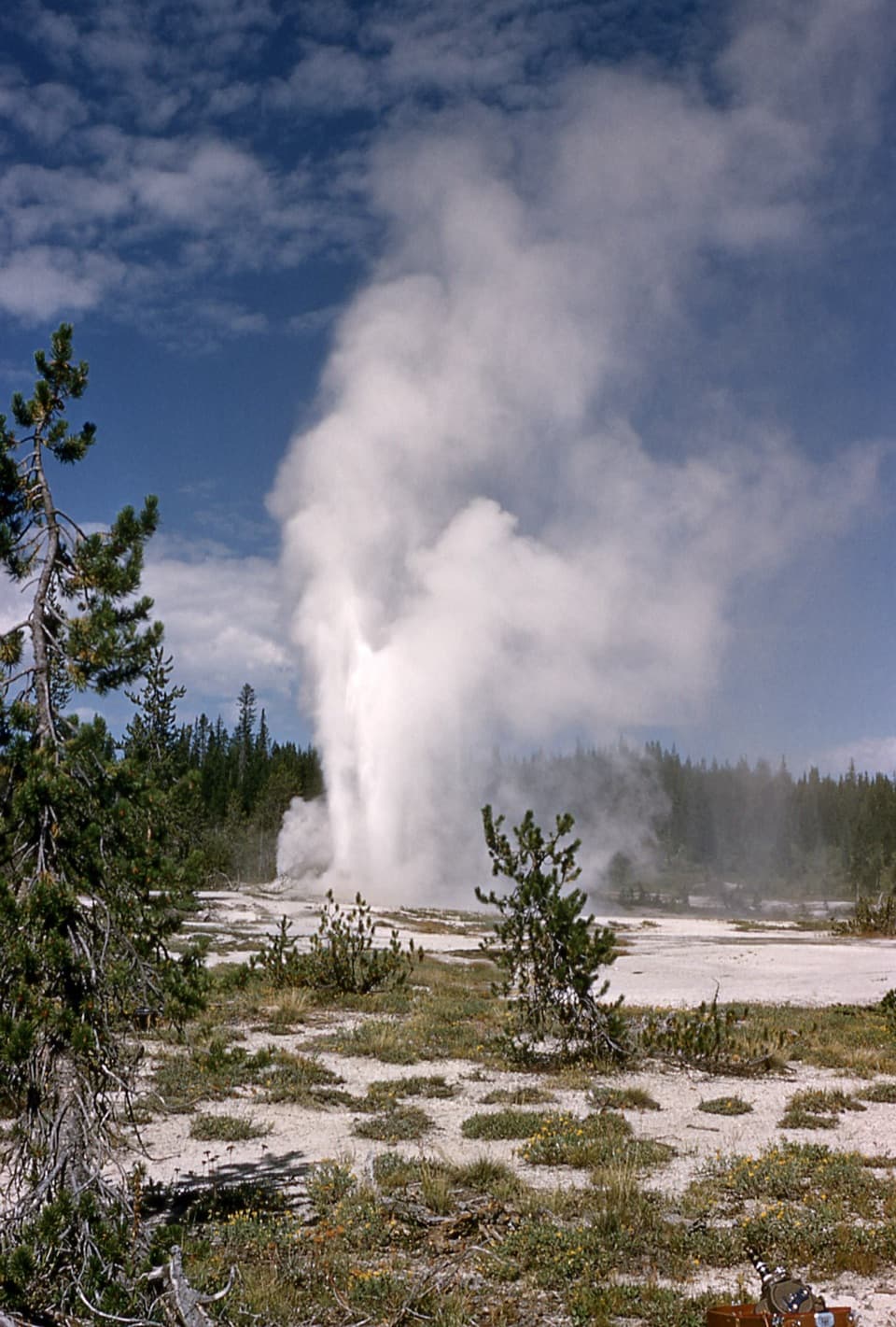
More than 80 geysers, with no boardwalks and a long hike in.
Overview
This is the 17-mile round-trip out-and-back from Lone Star Trailhead to Shoshone Geyser Basin over Grants Pass. Allow eight to ten hours for the long backcountry walk and time in the basin. The climb to the pass is modest for the distance, but the mileage, stream crossings and remoteness make this a hard day. Choose it for the chance to walk into a remote thermal basin, not for a quick look at geysers. The 4.8-mile round-trip Lone Star Geyser Trail is a much shorter outing if that is your main goal.
 Parkwolf’s verdictIs this the hike for your day?
Map & elevation
Plan your hike

The highest, rockiest slopes around here are a summer buffet for grizzly bears.
Yellowstone Tour Guide
Parkwolf is a GPS audio tour guide for Yellowstone National Park. As you drive, it chimes in with what’s ahead: hidden gems, upcoming stops, history, geology, and wildlife, right through your car’s speakers.
See the Yellowstone audio tourRecorded for this trailhead
Lone Star Geyser Trailhead“You're nearing the Lone Star Geyser trailhead, where a mostly level riverside walk leads to a pale cone in a forest clearing. It's about five miles round trip, taking two to three hours before any wait for an eruption.”
Plays as you drive up to this trailhead in the Parkwolf Yellowstone Tour Guide.
More stories near here in the app
“First time driving through a national park. We used the Yellowstone tour on grand loop Road and it’s just like having a tour guide in your car with you.”


Trail guide
Start at Lone Star Trailhead (OK1) on Grand Loop Road. The first stretch follows the Lone Star corridor toward the geyser; at the junction, continue south toward Grants Pass. You climb through trees and open meadows to the pass at about 8,050 feet, crossing the Continental Divide. The trees limit the views here, so the best scenery is still ahead.
Beyond the pass, the route drops toward Shoshone Creek. Small streams and the creek itself need crossing, and the trail winds through a narrow, wooded canyon before the final junctions. These crossings can be high during snowmelt. The last signed turn leads into the basin; walking to Shoshone Lake’s shore is a nearby side trip and adds distance beyond the basin route.
Shoshone Geyser Basin packs more than 80 geysers into an area about 1,600 by 800 feet. It has no boardwalks: the route uses narrow paths among hot springs, vents and fragile ground. Stay on the established tread and give every thermal feature plenty of room. Look for named features such as Minute Man, Taurus and Union geysers, but their activity and appearance can change.
Wildlife
 713 sightingsGrizzly BearMost seen around 6 AMSighting map
 743 sightingsWolfMost seen around 6 AMSighting map
 5,273 sightingsBisonMost seen around 7 AMSighting map
 3,258 sightingsElkMost seen around 7 PMSighting map
 397 sightingsMooseMost seen around 7 PMSighting map
 1,494 sightingsBlack BearMost seen around 7 PMSighting map
Sighting maps show where each species has been reported across Yellowstone. Wildlife moves, so no sighting is guaranteed.
Keep exploring
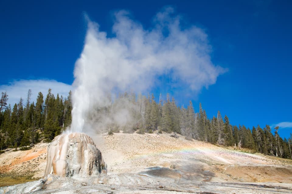 EasyLone Star Geyser Trail4.8 mi · 2.5 hr · At the trailheadEasy Firehole River walk to a geyser with roughly three-hour eruptions.
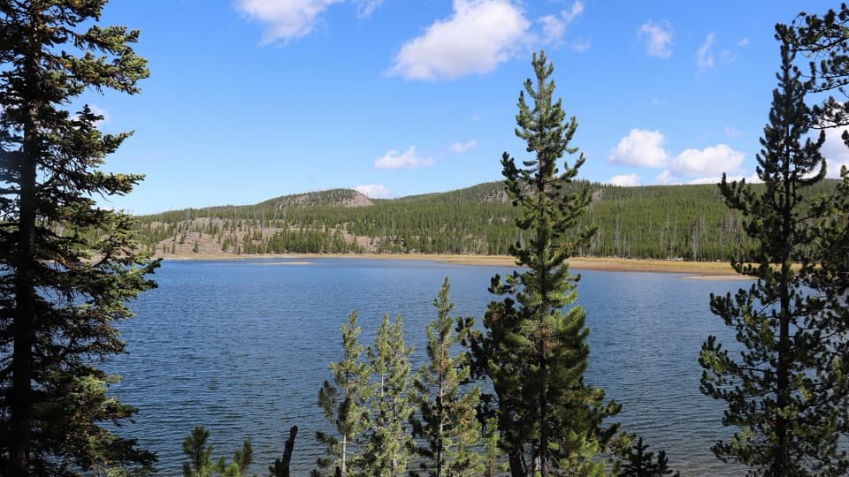 ModerateMallard Lake Trail7 mi · 4.5 hr · 1.3 mi awayPipeline Hot Springs and a Firehole crossing lead to Mallard Lake.
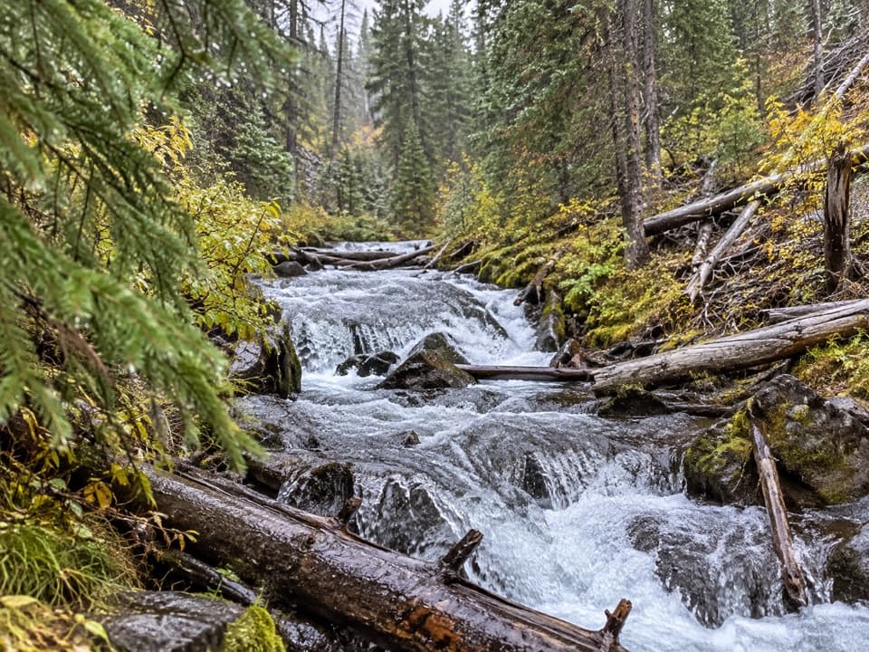 EasyFern Cascade Loop Trail2.5 mi · 1.5 hr · 1.4 mi awayA short woods loop slips down to a hidden cascade.
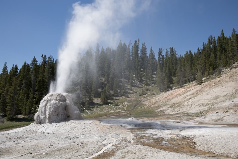 ModerateHoward Eaton Trail: Old Faithful to Lone Star Geyser6.3 mi · 3 hr · 1.4 mi awayBurned hill, spruce-fir forest, and a geyser at the end.
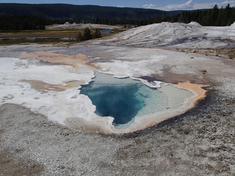 EasyGeyser Hill Loop Trail1.2 mi · 1 hr · 1.6 mi awayCompact boardwalk loop past geysers, vivid springs, and steaming runoff.
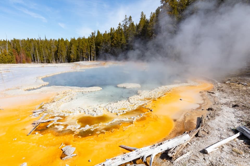 ModerateObservation Point–Solitary Geyser Loop1.9 mi · 2 hr · 1.7 mi awayA short climb trades switchbacks for Old Faithful from above.
 EasyOld Faithful to Morning Glory Pool Trail2.7 mi · 2 hr · 1.7 mi awayA level geyser walk ends at a spring changed by its visitors.
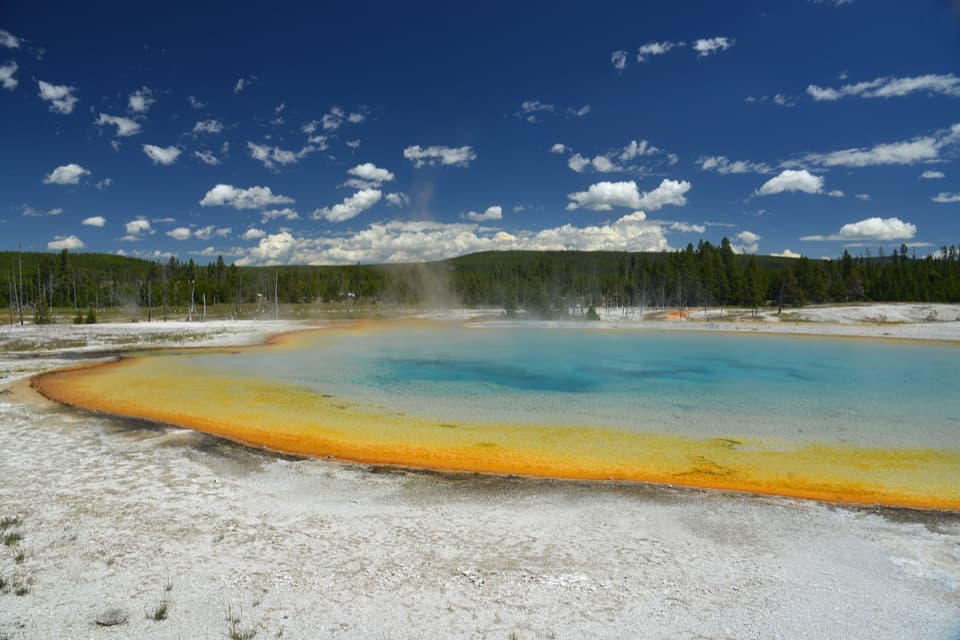 EasyBlack Sand Basin Trail0.5 mi · 30 min · 2.7 mi awayShort boardwalk spurs past colorful hot springs and geysers.
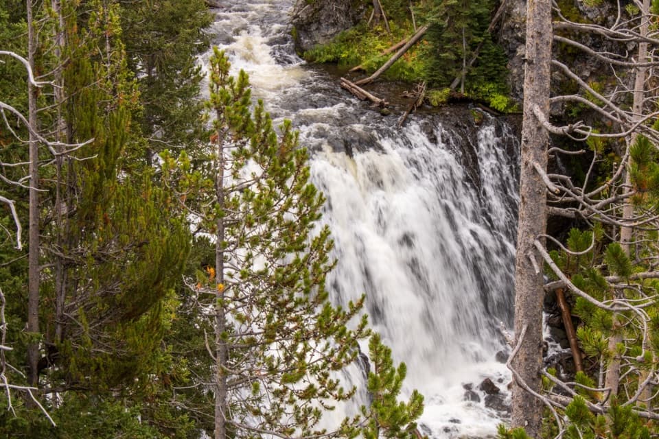 Sight · 0.1 mi awayKepler CascadesThree tiers of Firehole water tumbling into a wooded ravine.
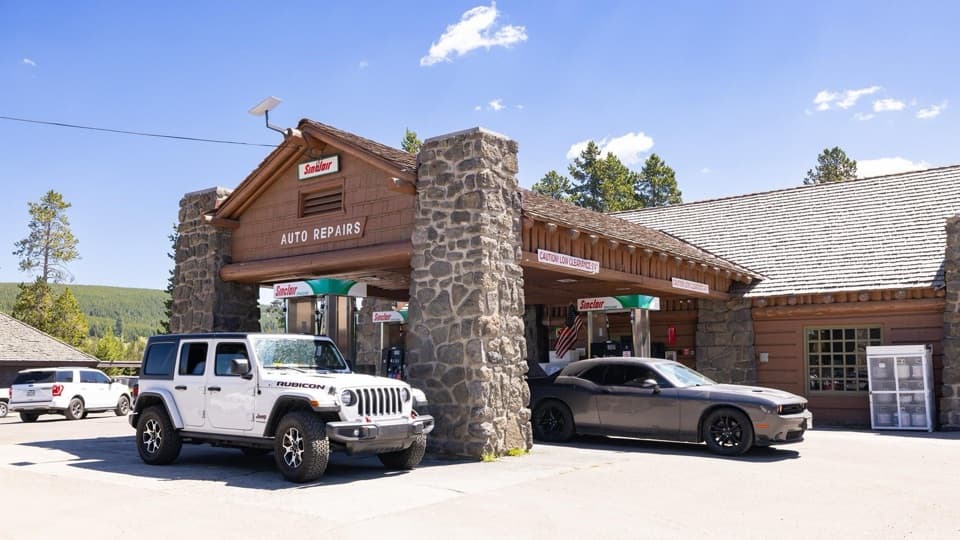 Gas station · 1.4 mi awayOld Faithful Gas and Service Station - UpperA useful in-park stop for fuel, propane, snacks, or repairs.
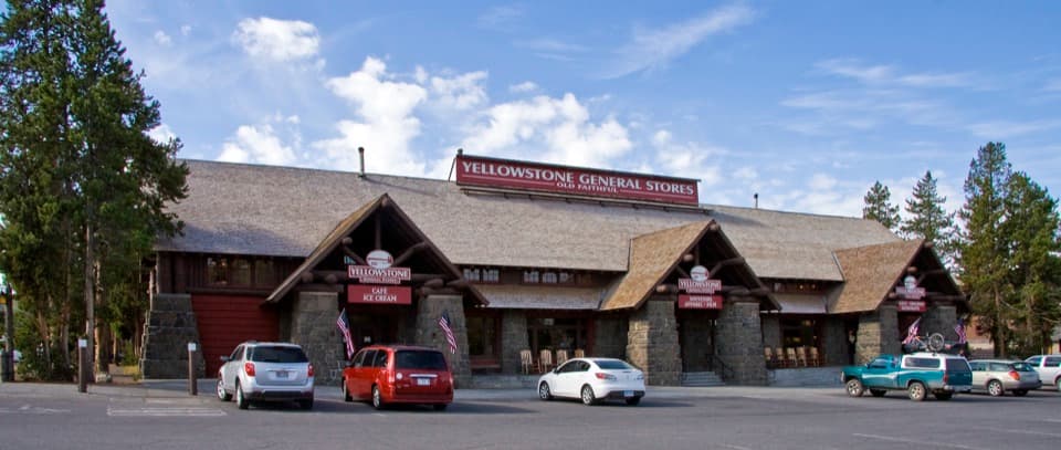 Store · 1.4 mi awayOld Faithful General Store - UpperA 1929 general store with a huge fireplace and practical supplies.
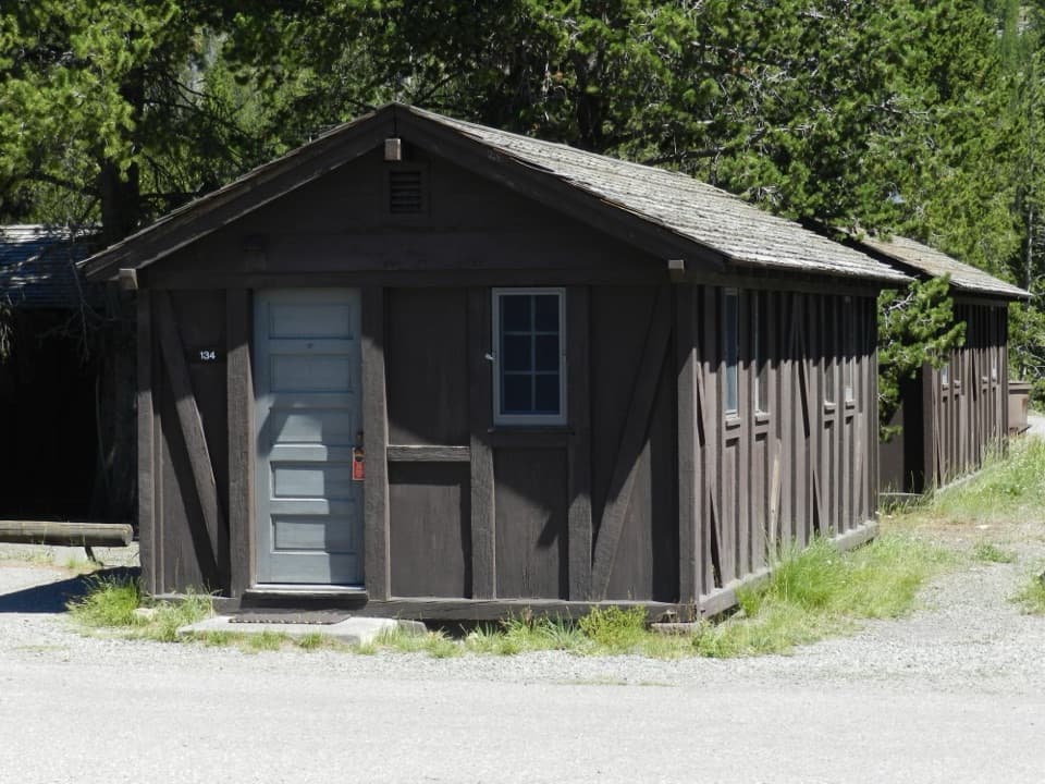 Lodging · 1.5 mi awayOld Faithful Lodge CabinsA rustic cabin stay within easy reach of Old Faithful.
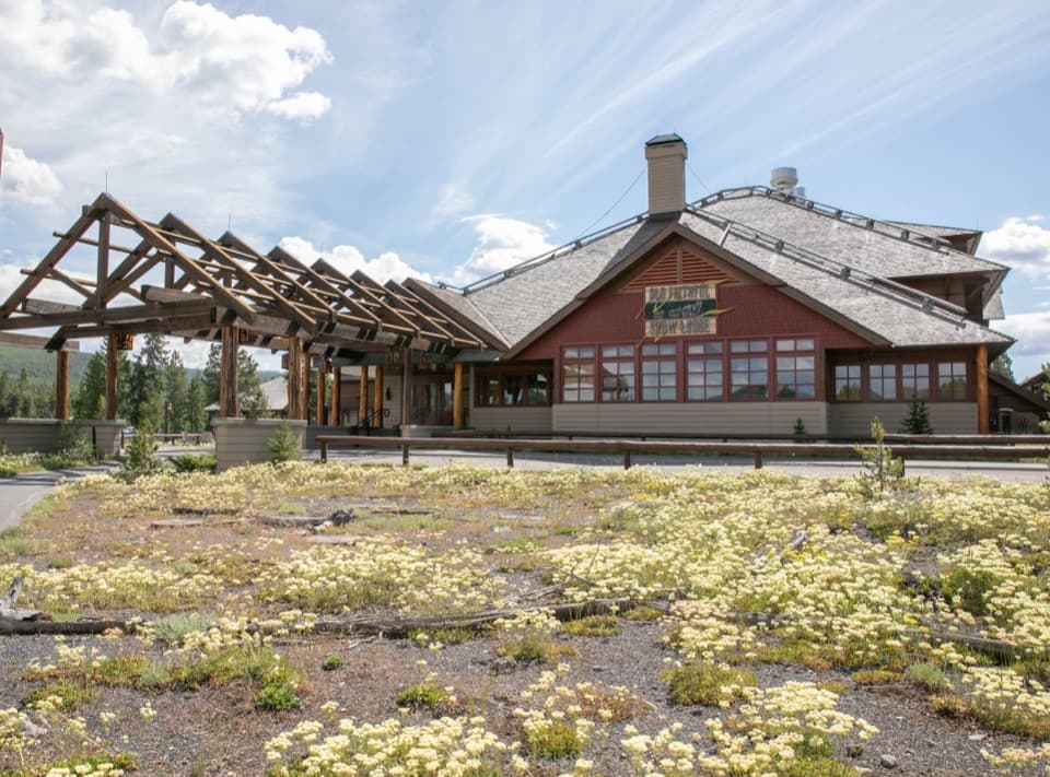 Lodging · 1.5 mi awayOld Faithful Snow Lodge and CabinsSleep near the basin; the geysers are a short walk away.
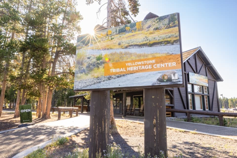 Sight · 1.5 mi awayYellowstone Tribal Heritage CenterMeet Indigenous presenters in a historic Haynes photo shop.
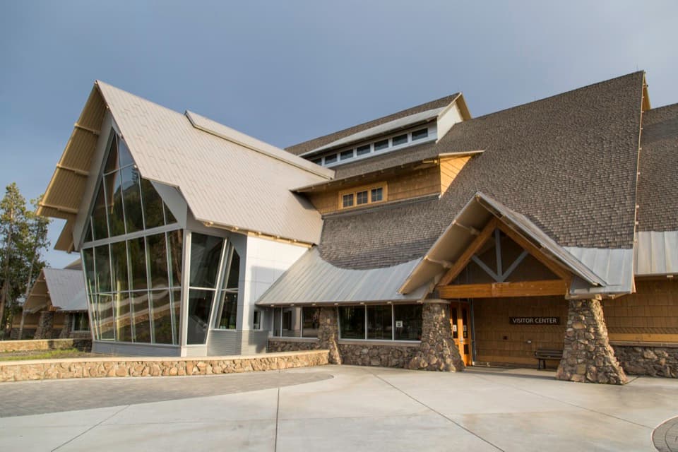 Visitor center · 1.6 mi awayOld Faithful Visitor Education CenterWatch Old Faithful indoors, then get the science behind the eruptions.
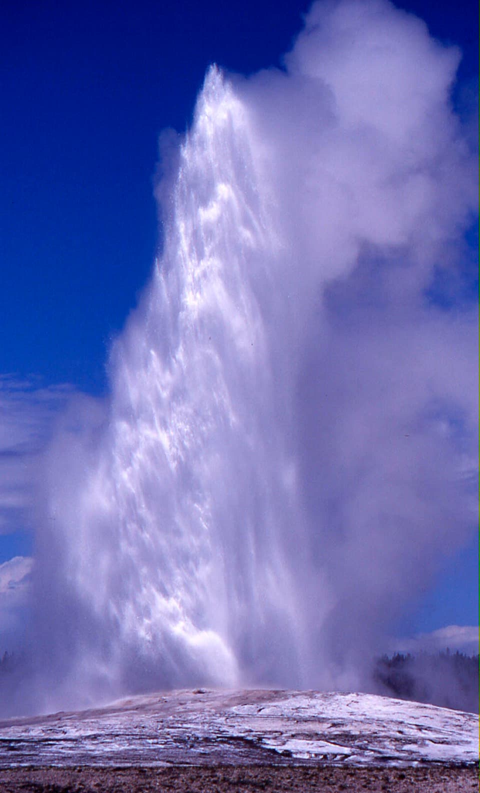 Sight · 1.6 mi awayOld Faithful GeyserThe eruption is brief; the basin boardwalk makes a longer stop worthwhile.
Parkwolf’s Yellowstone ranking
The audio tour guide for the drive, plus offline maps, trails, and wildlife heatmaps for when the signal drops.




