Parking
Use the large Artist Point parking area at the end of South Rim Drive. It is often busy during peak summer; vault toilets are at the west end.
Yellowstone National Park, WY · MT · ID
The canyon views begin before you reach Point Sublime.
Overview
Map & elevation
Plan your hike

The highest, rockiest slopes around here are a summer buffet for grizzly bears.
Yellowstone Tour Guide
Parkwolf is a GPS audio tour guide for Yellowstone National Park. As you drive, it chimes in with what’s ahead: hidden gems, upcoming stops, history, geology, and wildlife, right through your car’s speakers.
See the Yellowstone audio tourRecorded for this trailhead
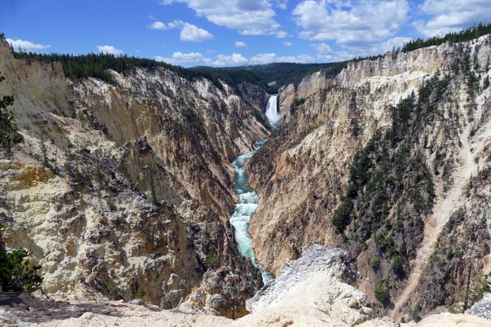
Artist Point“You're coming up on Artist Point, my pick if you're choosing just one overlook on the south rim. A short paved walk from the parking area brings the Lower Falls and the colored canyon walls together in one view.”
Plays as you drive up to this trailhead in the Parkwolf Yellowstone Tour Guide.
More stories near here in the app
“First time driving through a national park. We used the Yellowstone tour on grand loop Road and it’s just like having a tour guide in your car with you.”


Trail guide
The Artist Point–Point Sublime Trail is about 3 miles round trip, an out-and-back from the Artist Point parking area to Point Sublime Overlook along the canyon’s south rim. Allow about 1½ to 2 hours with time for views. The 2.6-mile figure describes the return walk from Artist Point Overlook; the longer distance here includes the paved approach from the parking area.
Follow the paved path to Artist Point, then continue east beyond the overlook as the pavement gives way to a dirt trail. At the junction about two-thirds of a mile beyond Artist Point, take the left branch for Point Sublime; the right branch heads toward Lily Pad Lake and Ribbon Lake. A strong canyon viewpoint opens before the endpoint, so don’t save all your stops for the end.
The dirt path tracks the canyon edge. In places it passes only a few feet from a steep drop, with no railing. If that exposure is uncomfortable, Artist Point is a worthwhile shorter turnaround: the paved overlook has the first broad view of the canyon and Lower Falls.
The trail ends at a long wooden railing looking northeast down the V-shaped canyon. The route has open canyon views along the way, and some hikers find those earlier views more rewarding than the partly screened endpoint. The exposed walls shift through yellows, browns and reds; their shapes and colors tell part of Yellowstone’s complex geologic story.
The large Artist Point lot is at the end of South Rim Drive and is often busy in peak summer. Vault toilets are at the west end of the lot. Pets are not allowed on the trail.
Wildlife
 713 sightingsGrizzly BearMost seen around 6 AMSighting map
 743 sightingsWolfMost seen around 6 AMSighting map
 5,273 sightingsBisonMost seen around 7 AMSighting map
 3,258 sightingsElkMost seen around 7 PMSighting map
 397 sightingsMooseMost seen around 7 PMSighting map
 1,494 sightingsBlack BearMost seen around 7 PMSighting map
Sighting maps show where each species has been reported across Yellowstone. Wildlife moves, so no sighting is guaranteed.
Keep exploring
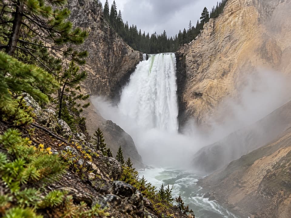 ModerateRed Rock Points Trail0.6 mi · 45 min · 0.4 mi awaySteep stairs bring you close to Lower Falls.
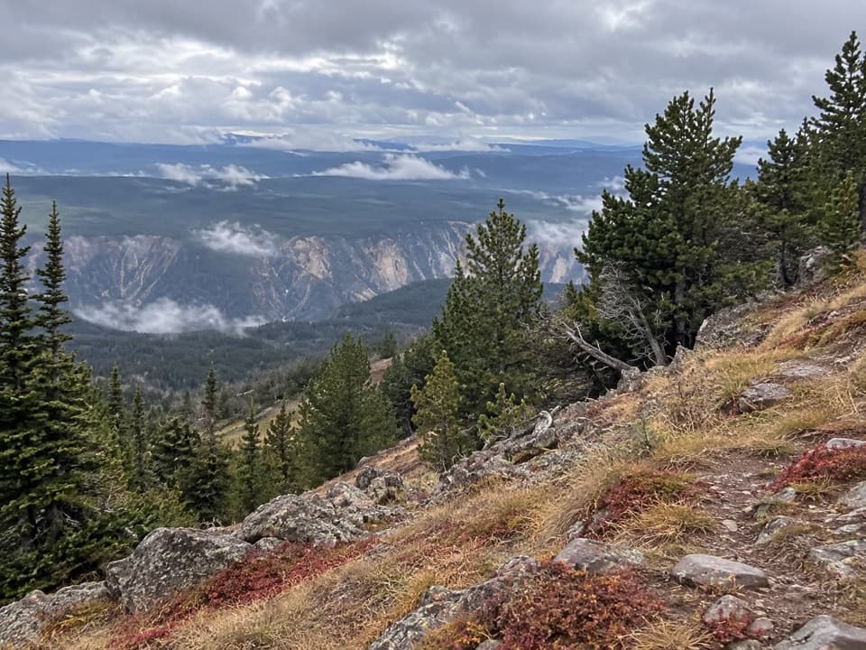 ChallengingMount Washburn Spur Trail16.2 mi · 9 hr · 0.7 mi awayFrom canyon rim to Washburn Hot Springs and a 10,219-foot summit.
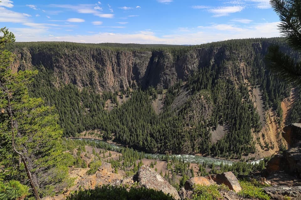 ChallengingSeven Mile Hole Trail10 mi · 6.5 hr · 0.7 mi awaySilver Cord Cascade first, then the steep drop to the river.
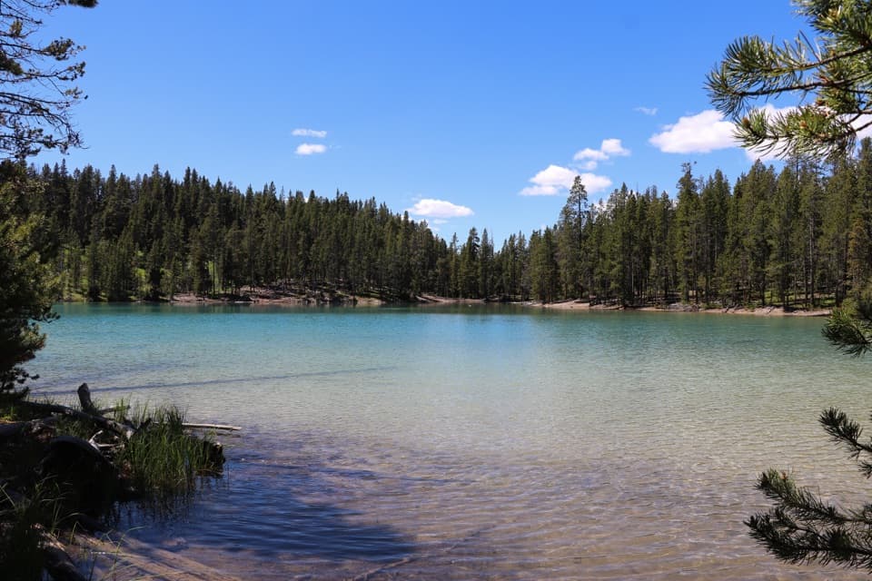 EasyClear Lake Trail1.4 mi · 1 hr · 0.9 mi awayA gentle short walk to a bubbling, spring-fed lake.ModerateClear Lake–Ribbon Lake Loop Trail6.1 mi · 3.5 hr · 0.9 mi awayThermal ground, two lakes, and a canyon rim return.
 ChallengingBrink of the Lower Falls Trail0.7 mi · 1 hr · 0.9 mi awayA close Lower Falls view after a steep, stepped descent.
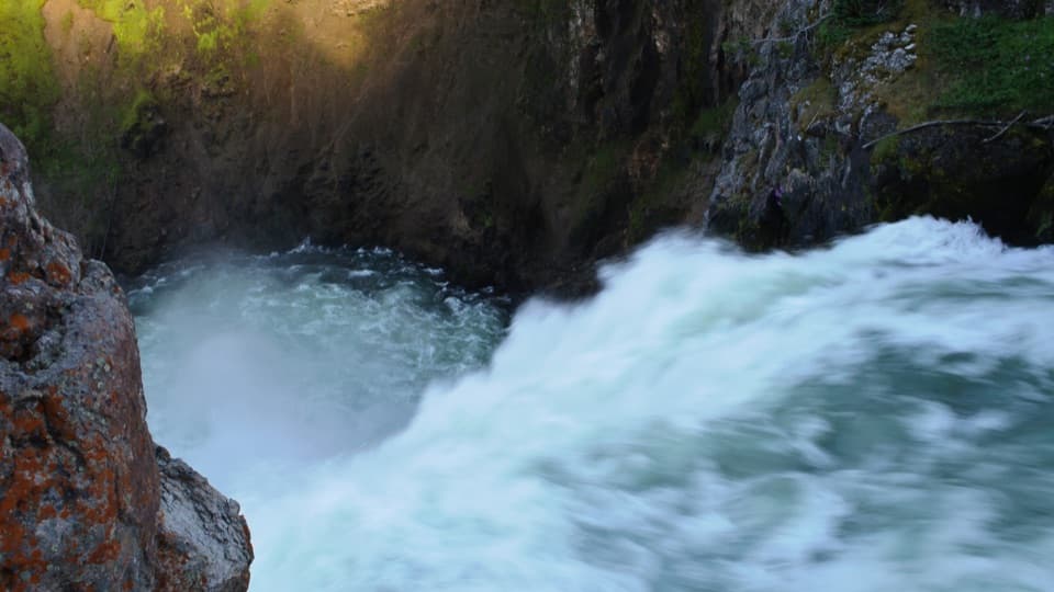 EasyBrink of the Upper Falls Trail0.3 mi · 24 min · 1.1 mi awayA short, stair-stepped walk to Yellowstone's 109-foot Upper Falls.
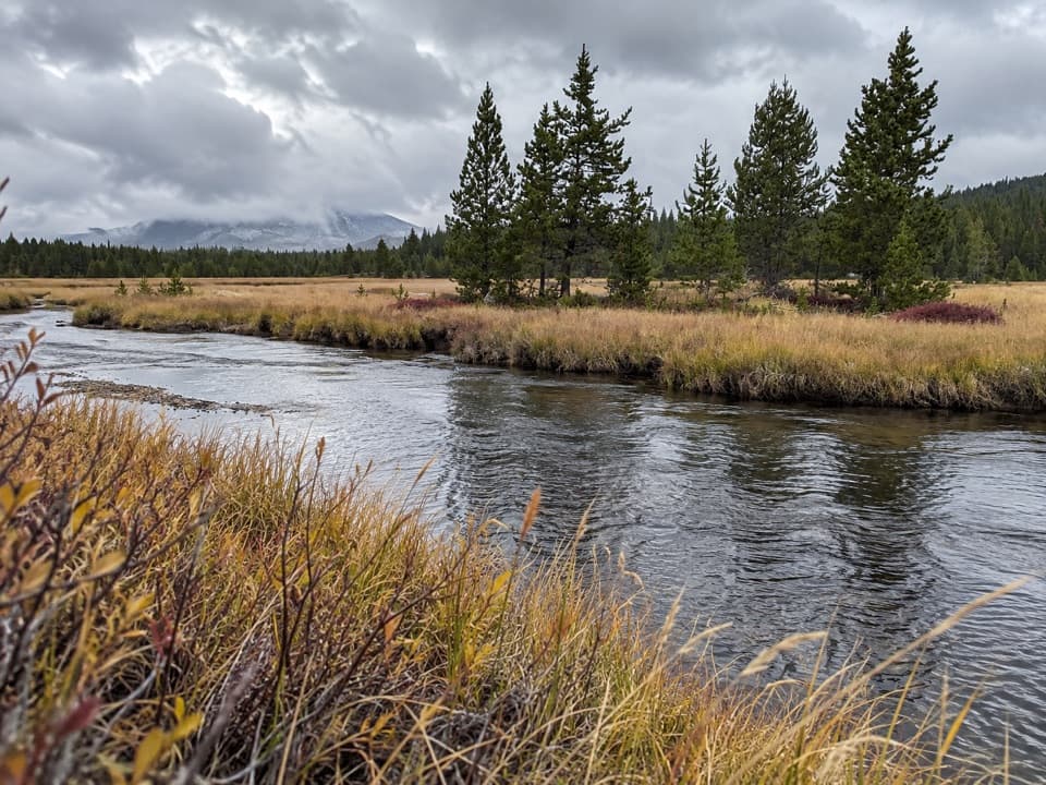 ModerateWrangler Lake Trail8 mi · 4 hr · 1.3 mi awayCreek crossings lead through Hayden Valley to a backcountry lake.
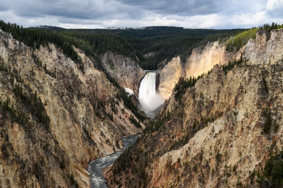 Sight · 0.1 mi awayArtist PointFrom the rim, the 308-foot Lower Falls anchors the view.
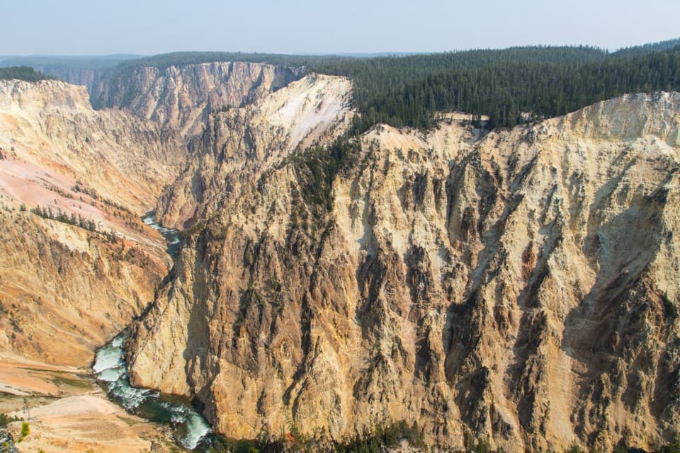 Sight · 0.3 mi awayGrand ViewA broad canyon view, with the river and Lower Falls far below.
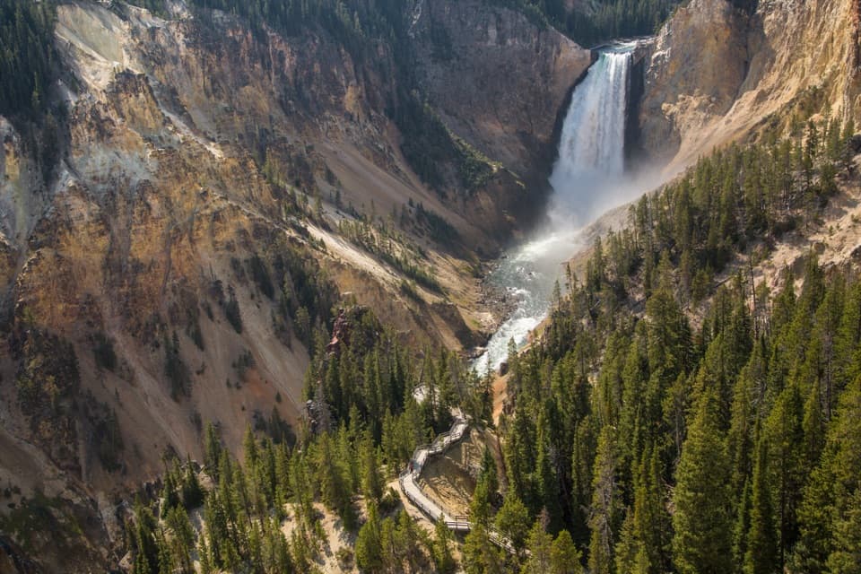 Sight · 0.4 mi awayLookout PointThe Lower Falls fills the canyon from this north-rim perch.
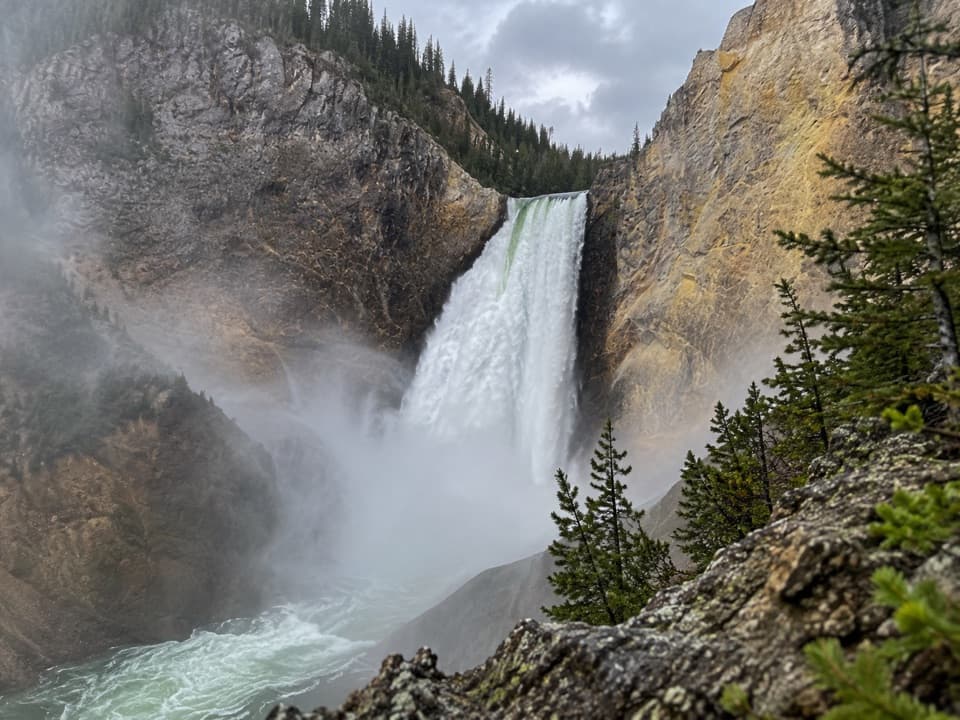 Sight · 0.5 mi awayRed Rock PointA close Lower Falls view after a steep climb back out.
 Sight · 0.6 mi awayInspiration PointA broad canyon panorama, with Lower Falls in the distance.
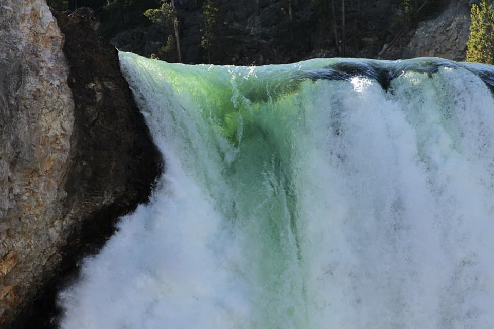 Sight · 0.8 mi awayBrink of the Lower FallsGet close enough to feel the Lower Falls' roar.
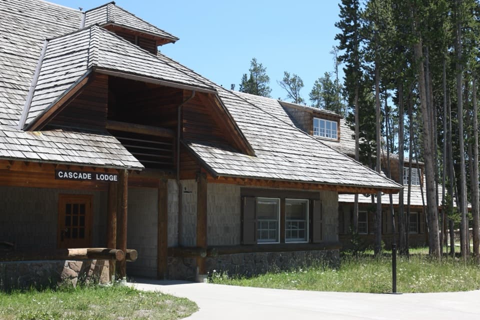 Lodging · 0.9 mi awayCanyon Lodge and CabinsA handy in-park base near the Grand Canyon and both loops.
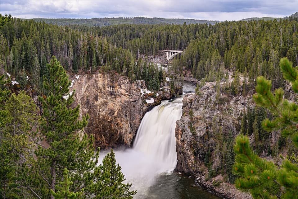 Sight · 0.9 mi awayUpper Falls ViewpointsSouth Rim stop for a close look at 109-foot Upper Falls.
Parkwolf’s Yellowstone ranking

The audio tour guide for the drive, plus offline maps, trails, and wildlife heatmaps for when the signal drops.




