Parking
Start at Bunsen Peak Trailhead off Grand Loop Road; parking is limited. Arrange transport from the Glen Creek/NPS garage end before setting out.
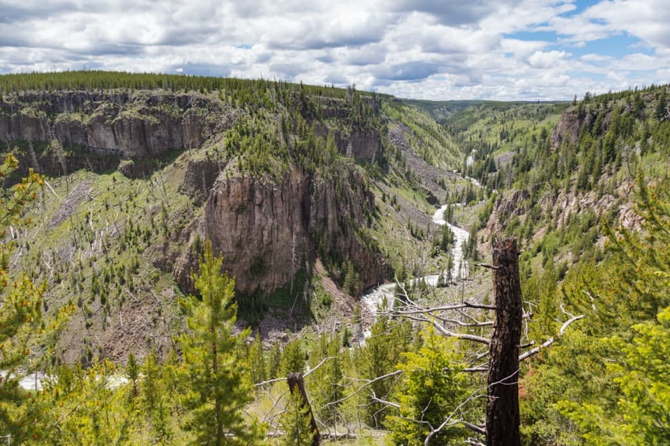
Yellowstone National Park, WY · MT · ID
A level old road turns into a steep canyon descent.
Overview
Map & elevation
Plan your hike

The highest, rockiest slopes around here are a summer buffet for grizzly bears.
Yellowstone Tour Guide
Parkwolf is a GPS audio tour guide for Yellowstone National Park. As you drive, it chimes in with what’s ahead: hidden gems, upcoming stops, history, geology, and wildlife, right through your car’s speakers.
See the Yellowstone audio tourRecorded for this trailhead
Bunsen Peak Trailhead“You're nearing the Bunsen Peak trailhead, a good choice if you want a summit hike with views over Swan Lake Flats and the Gallatin Mountains.”
Plays as you drive up to this trailhead in the Parkwolf Yellowstone Tour Guide.
More stories near here in the app
“First time driving through a national park. We used the Yellowstone tour on grand loop Road and it’s just like having a tour guide in your car with you.”


Trail guide
Bunsen Peak Road Trail is a 6-mile, one-way walk on an old service road. It starts at Bunsen Peak Trailhead and curves around the south and east sides of the peak to the Glen Creek and NPS garage area. The first three miles are mostly level; budget about three hours for the full point-to-point route and arrange your return before starting. This road route is separate from the summit climb and the Osprey Falls spur.
The opening crosses broad meadows, with views west across Swan Lake Flat toward the Gallatin Mountains. After the Bunsen Peak Trail junction, the route enters forest and winds down the east side. The descent drops roughly 960 feet over 2.5 miles; some sharp turns have steep drop-offs. Part of the forest lies in the 1988 North Fork Fire area, where the open canopy lets newer grasses and plants show through. The route’s signature payoff is the view into the Gardner River canyon.
The road is open to hikers, bicyclists, skiers and snowshoers. The descent can be hazardous when icy, so take the steep turns slowly and plan for conditions. Parking at Bunsen Peak Trailhead is limited. In winter, access to the trailhead is by snow coach or by skiing from the Upper Terrace parking lot gate. Pets are not allowed on the trail.
Wildlife
 713 sightingsGrizzly BearMost seen around 6 AMSighting map
 743 sightingsWolfMost seen around 6 AMSighting map
 5,273 sightingsBisonMost seen around 7 AMSighting map
 3,258 sightingsElkMost seen around 7 PMSighting map
 397 sightingsMooseMost seen around 7 PMSighting map
 1,494 sightingsBlack BearMost seen around 7 PMSighting map
Sighting maps show where each species has been reported across Yellowstone. Wildlife moves, so no sighting is guaranteed.
Keep exploring
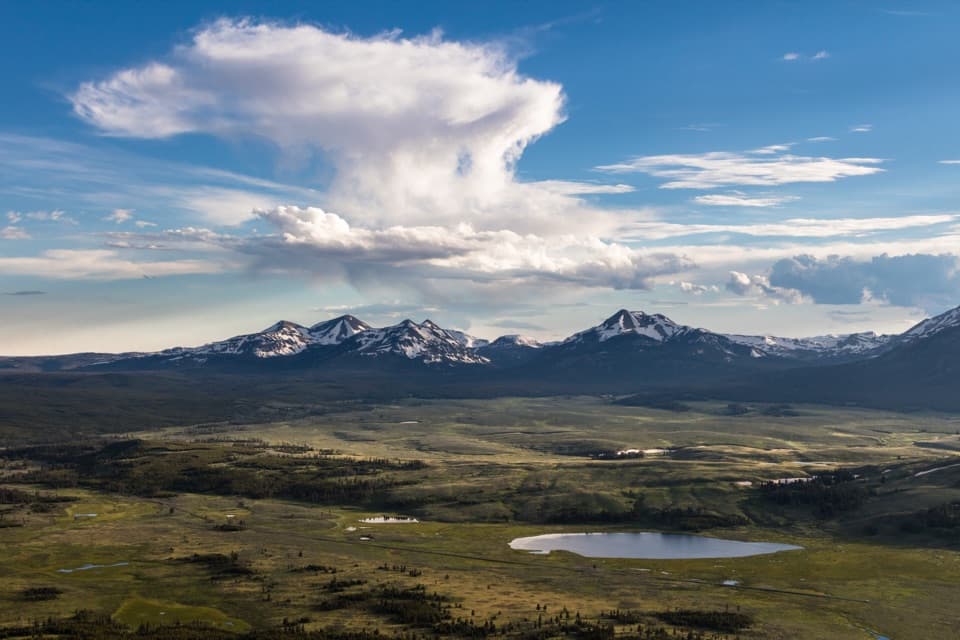 ModerateBunsen Peak Trail4.6 mi · 2.5 hr · At the trailheadSwitchbacks climb to a broad view over Swan Lake Flats.
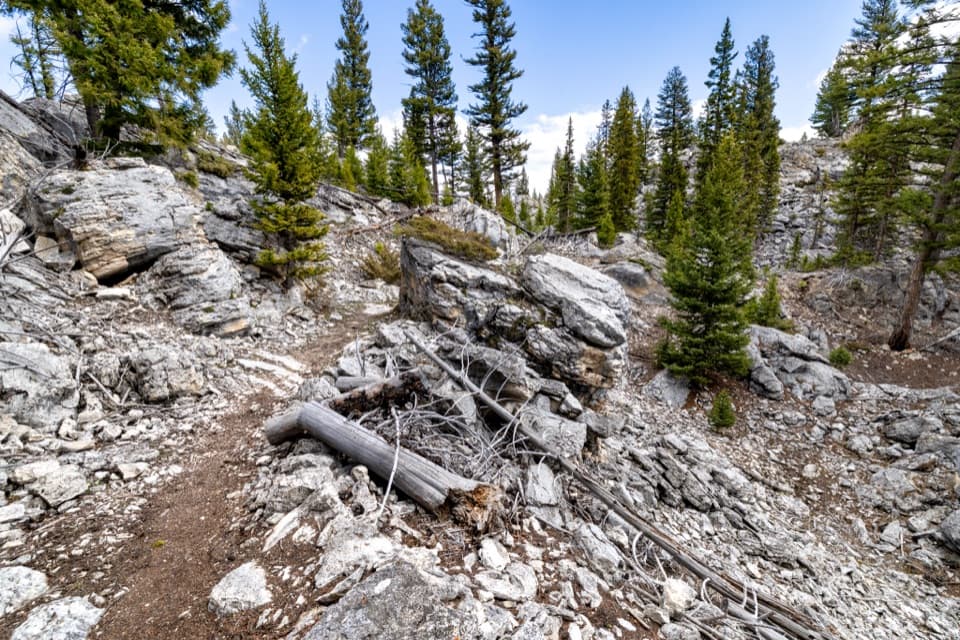 EasyHoward Eaton Trail: Glen Creek to Mammoth Hot Springs4 mi · 2.5 hr · 0.1 mi awayDownhill through the Hoodoos into Mammoth’s old spring terraces.
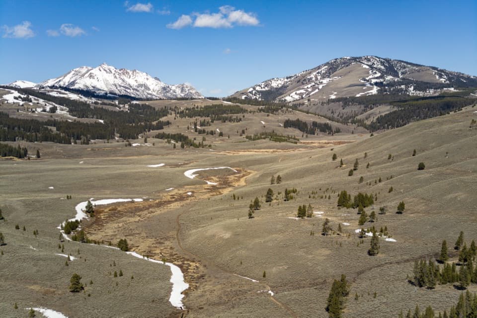 ModerateGlen Creek Trail11.9 mi · 6.5 hr · 0.1 mi awayA long walk through sagebrush flats beneath Electric Peak.
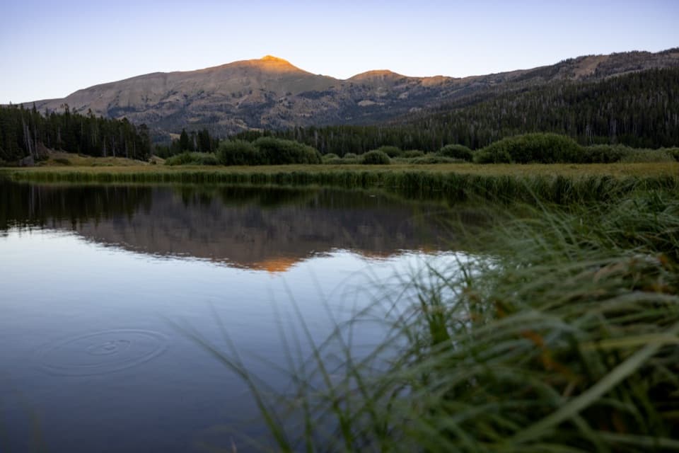 ChallengingSportsman Lake Trail24 mi · 14.5 hr · 0.2 mi awayA long Gallatin crossing past a remote lake and over a pass.
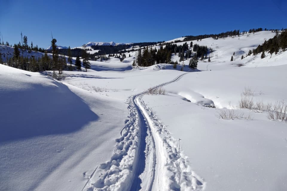 ModerateSnow Pass Trail3 mi · 2.5 hr · 2 mi awayA steep, forested climb to a 7,450-foot pass.
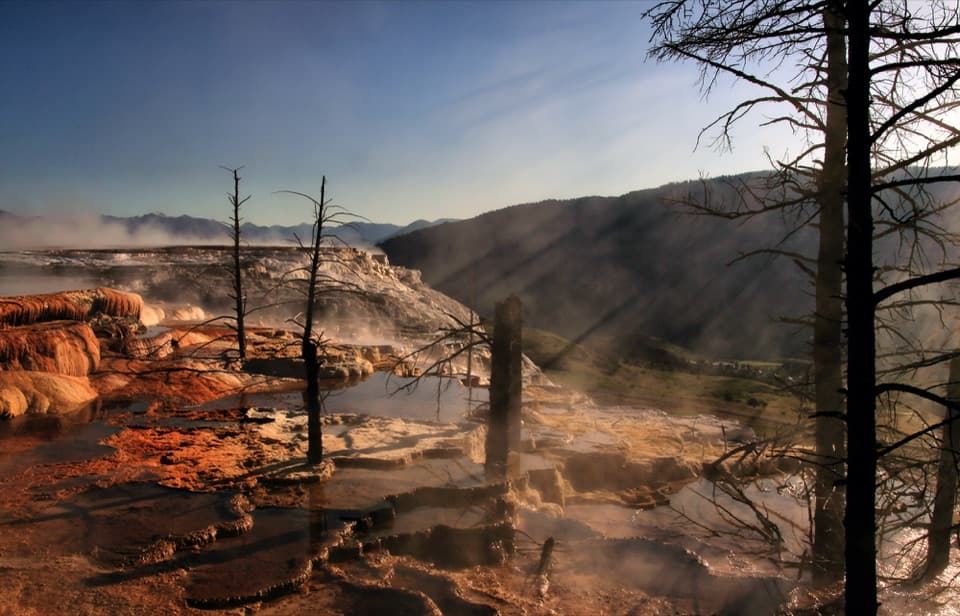 EasyMammoth Hot Springs Upper Terrace Boardwalk Trail0.6 mi · 30 min · 2.7 mi awaySee changing hot spring colors from the upper boardwalk.
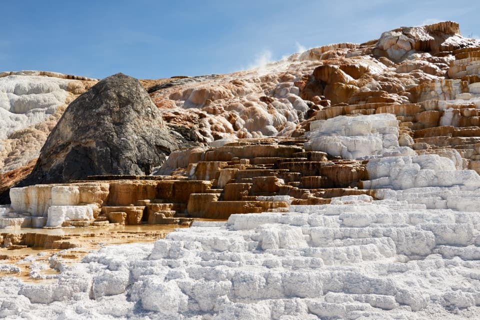 ModerateMammoth Hot Springs Lower Terraces Trail1.8 mi · 1.3 hr · 3 mi awayWalk boardwalks past colorful travertine shelves that keep rebuilding.
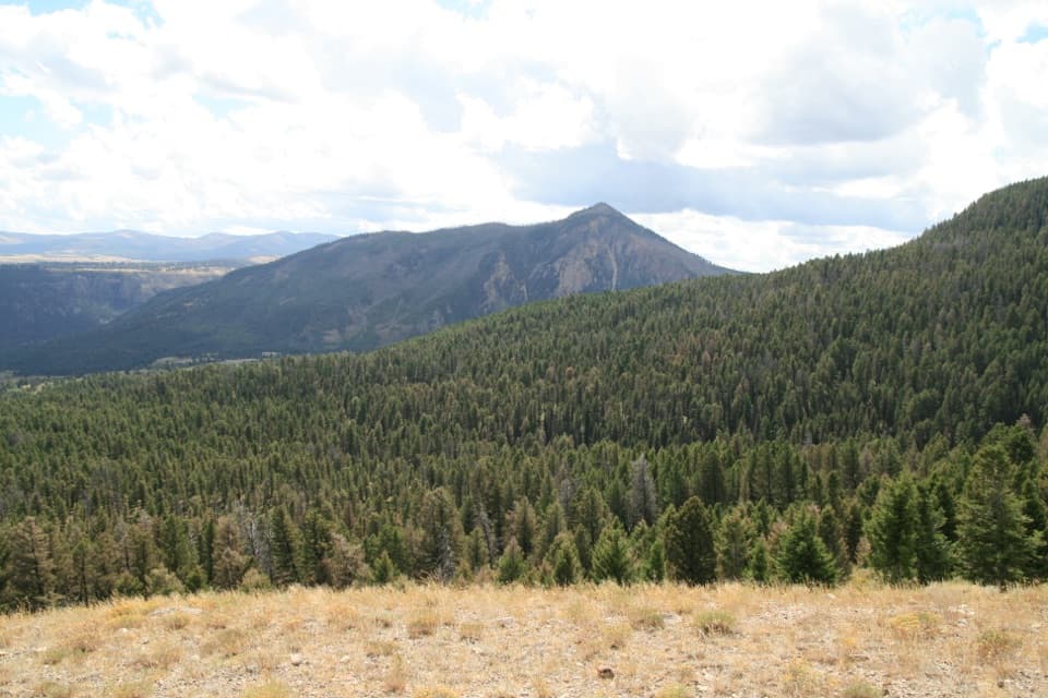 ModerateClagett Butte–Snow Pass Loop4.9 mi · 3.5 hr · 3.1 mi awayA steep Mammoth loop linking Clagett Butte and Snow Pass.
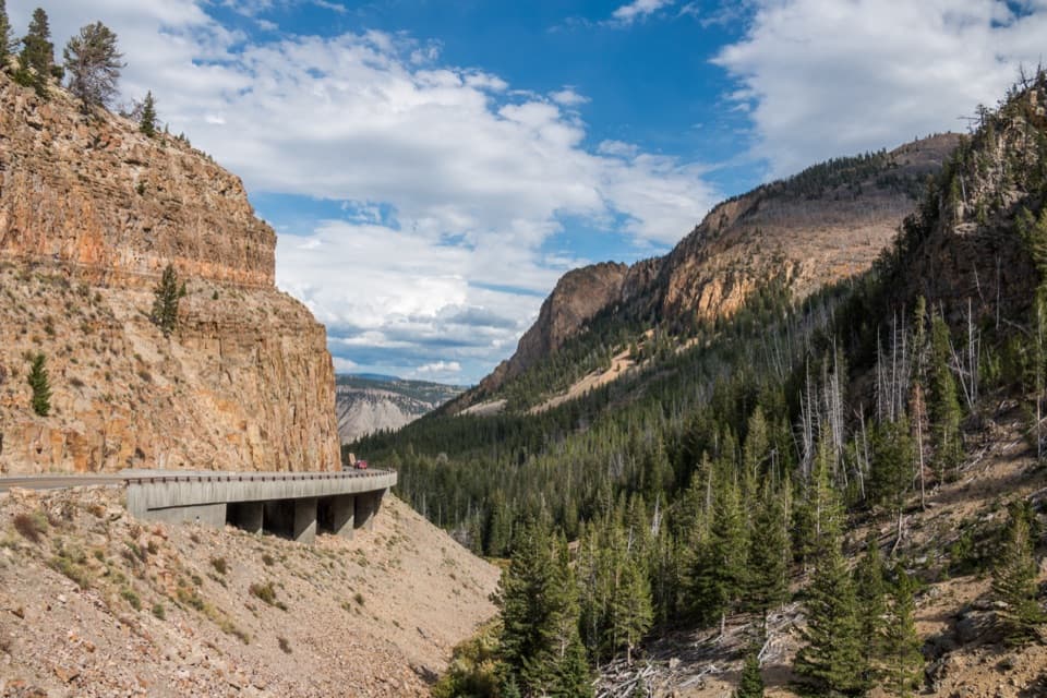 Sight · 0.2 mi awayGolden GateAn 11-arch viaduct bends around a golden canyon wall.
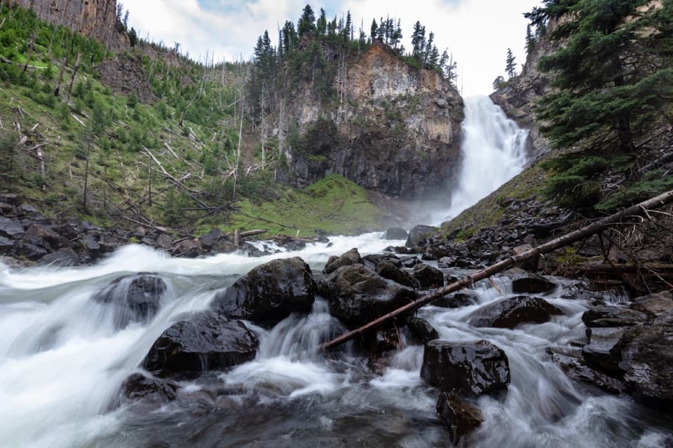 Sight · 2.3 mi awayOsprey FallsA hard hike to a 150-foot waterfall in Sheepeater Canyon.
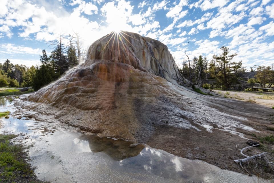 Sight · 2.5 mi awayOrange Spring MoundOrange travertine still growing beside Upper Terrace Drive.
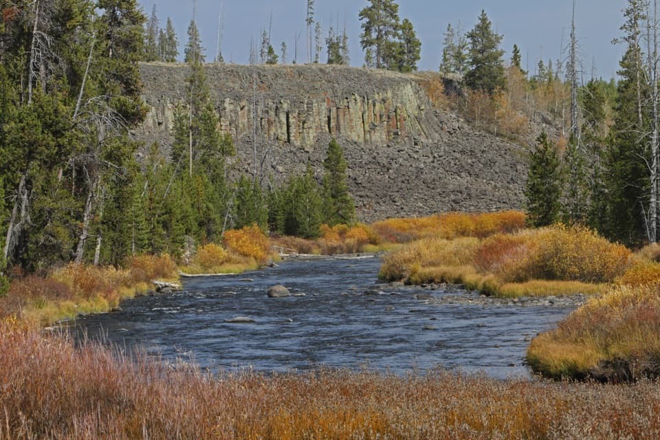 Sight · 2.8 mi awaySheepeater CliffWalk right up to a wall of six-sided basalt columns.
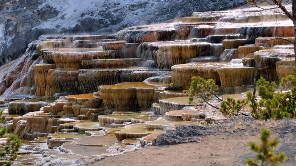 Sight · 2.9 mi awayMammoth Hot Springs Lower TerracesHeat-loving microbes tint travertine orange, green and brown.
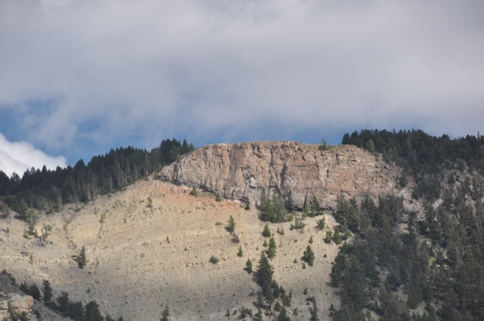 Sight · 3 mi awayMount Everts ViewpointA 37-day survival story above layers separated by 60 million years
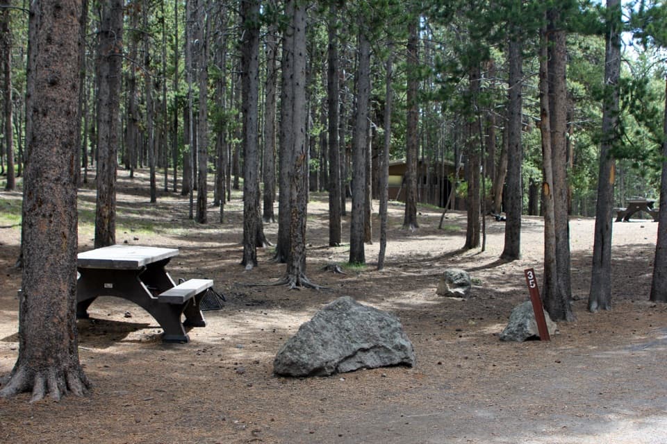 Campground · 3.1 mi awayIndian Creek CampgroundA quieter camp with Electric Peak views and fewer services.
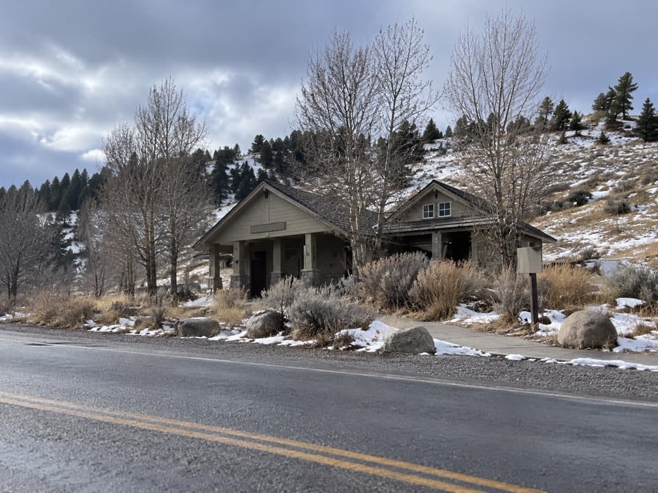 Restroom · 3.2 mi awayMammoth Hot Springs RestroomsClean, accessible toilets with a family restroom.
Parkwolf’s Yellowstone ranking

The audio tour guide for the drive, plus offline maps, trails, and wildlife heatmaps for when the signal drops.





