Parking
Start at Howard Eaton Trailhead (OK2), just south of the Old Faithful Area; reach it by the connecting trail from the developed area. Dedicated parking at OK2 was not confirmed.
Yellowstone National Park, WY · MT · ID
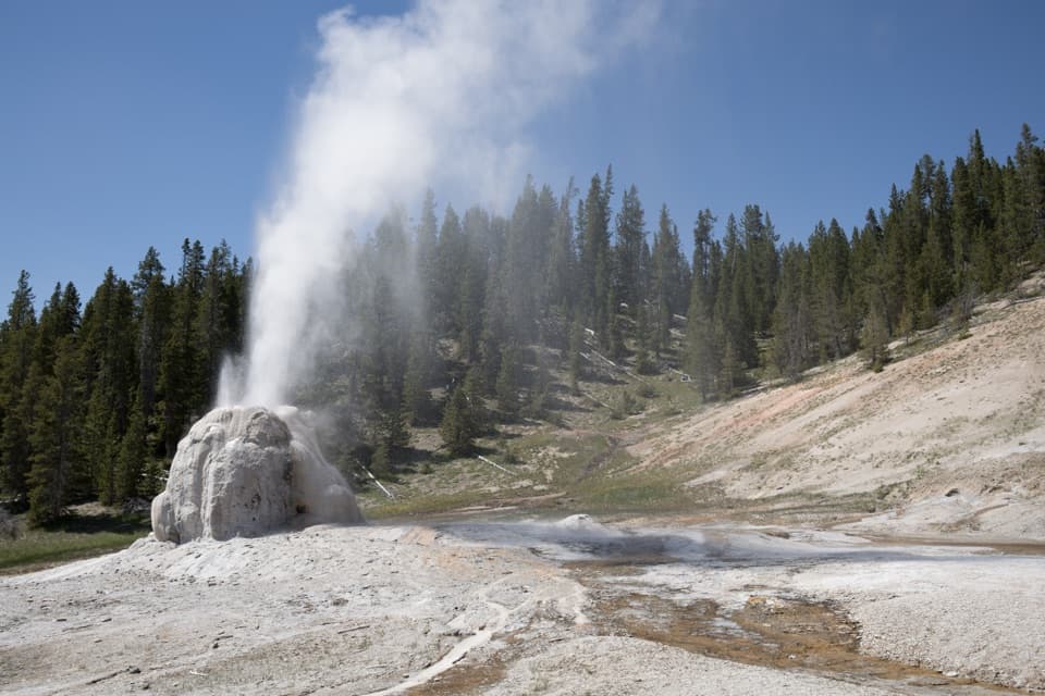
Burned hill, spruce-fir forest, and a geyser at the end.
Overview
Map & elevation
Plan your hike

The highest, rockiest slopes around here are a summer buffet for grizzly bears.
Yellowstone Tour Guide
Parkwolf is a GPS audio tour guide for Yellowstone National Park. As you drive, it chimes in with what’s ahead: hidden gems, upcoming stops, history, geology, and wildlife, right through your car’s speakers.
See the Yellowstone audio tourRecorded for this trailhead
Fern Cascades and Howard Eaton Trailhead“Howard Eaton Trailhead is ahead, with a wooded loop to Fern Cascades. Choose this for a small creek canyon rather than a big waterfall view.”
Plays as you drive up to this trailhead in the Parkwolf Yellowstone Tour Guide.
More stories near here in the app
“First time driving through a national park. We used the Yellowstone tour on grand loop Road and it’s just like having a tour guide in your car with you.”


Trail guide
This is a 6.3-mile out-and-back from Howard Eaton Trailhead (OK2) to Lone Star Geyser, returning on the same trail. Allow about three hours for the walk and a stop; the sampled elevation profile adds roughly 500 feet of cumulative climbing.
The route crosses a burned hillside, continues through spruce-fir forest, then descends to the geyser. It is a moderately easy walk, with the distance and rolling climb doing most of the work. This is the wooded Howard Eaton approach; a separate, shorter route follows the old service road beside the Firehole River.
The geyser rises from a 12-foot cone and can send water up to 45 feet. Eruptions come roughly every three hours, but the interval is approximate, so treat a show as a bonus rather than a schedule. At the end, frame the cone with the runoff and forested slope for a sense of scale. An information kiosk is listed at OK2; no food or drinking water along the route was identified.
Wildlife
 713 sightingsGrizzly BearMost seen around 6 AMSighting map
 743 sightingsWolfMost seen around 6 AMSighting map
 5,273 sightingsBisonMost seen around 7 AMSighting map
 3,258 sightingsElkMost seen around 7 PMSighting map
 397 sightingsMooseMost seen around 7 PMSighting map
 1,494 sightingsBlack BearMost seen around 7 PMSighting map
Sighting maps show where each species has been reported across Yellowstone. Wildlife moves, so no sighting is guaranteed.
Keep exploring
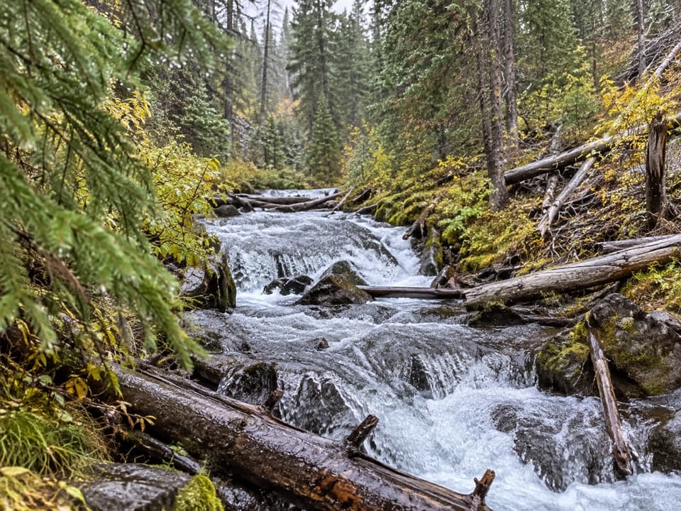 EasyFern Cascade Loop Trail2.5 mi · 1.5 hr · At the trailheadA short woods loop slips down to a hidden cascade.
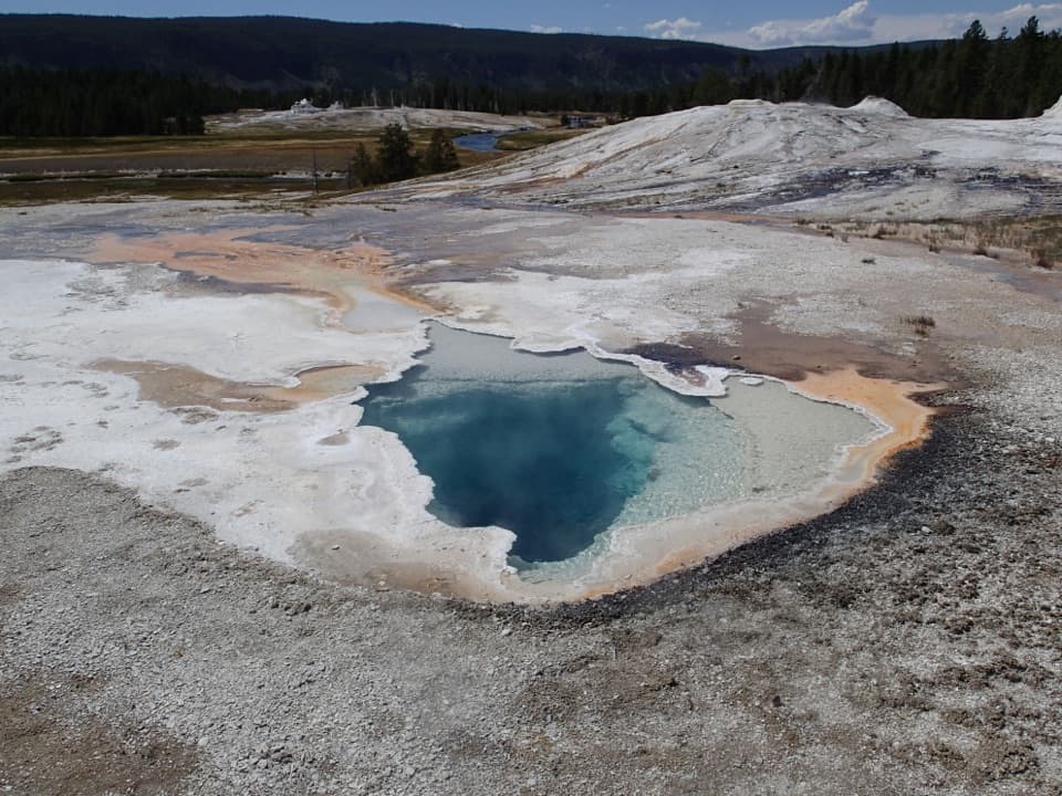 EasyGeyser Hill Loop Trail1.2 mi · 1 hr · 0.4 mi awayCompact boardwalk loop past geysers, vivid springs, and steaming runoff.
 EasyOld Faithful to Morning Glory Pool Trail2.7 mi · 2 hr · 0.4 mi awayA level geyser walk ends at a spring changed by its visitors.
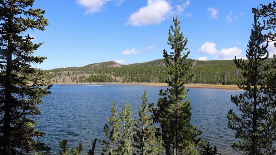 ModerateMallard Lake Trail7 mi · 4.5 hr · 0.5 mi awayPipeline Hot Springs and a Firehole crossing lead to Mallard Lake.
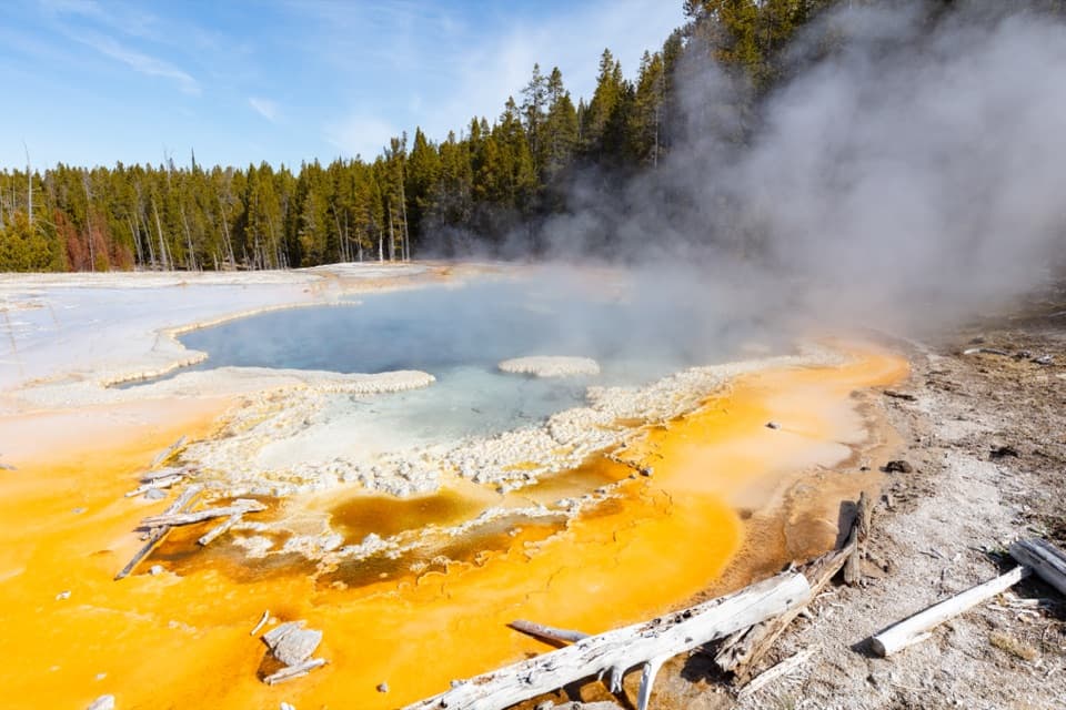 ModerateObservation Point–Solitary Geyser Loop1.9 mi · 2 hr · 0.6 mi awayA short climb trades switchbacks for Old Faithful from above.
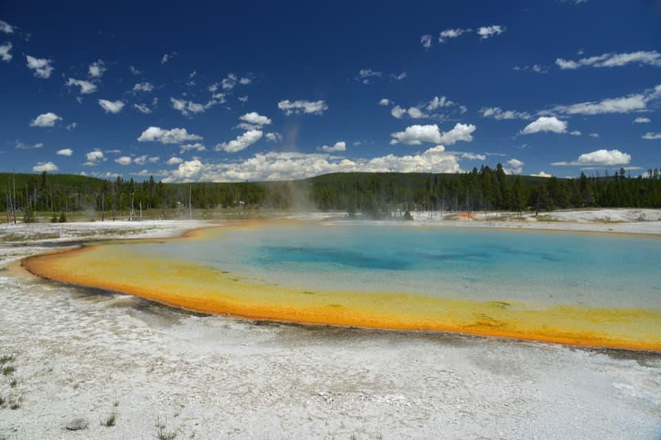 EasyBlack Sand Basin Trail0.5 mi · 30 min · 1.3 mi awayShort boardwalk spurs past colorful hot springs and geysers.
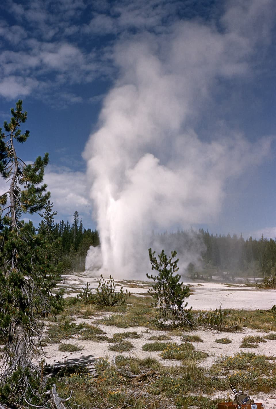 ChallengingShoshone Geyser Basin Trail17 mi · 8.5 hr · 1.4 mi awayMore than 80 geysers, with no boardwalks and a long hike in.
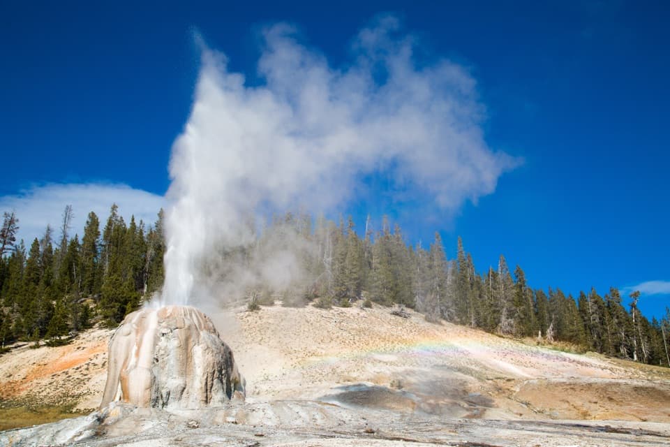 EasyLone Star Geyser Trail4.8 mi · 2.5 hr · 1.4 mi awayEasy Firehole River walk to a geyser with roughly three-hour eruptions.
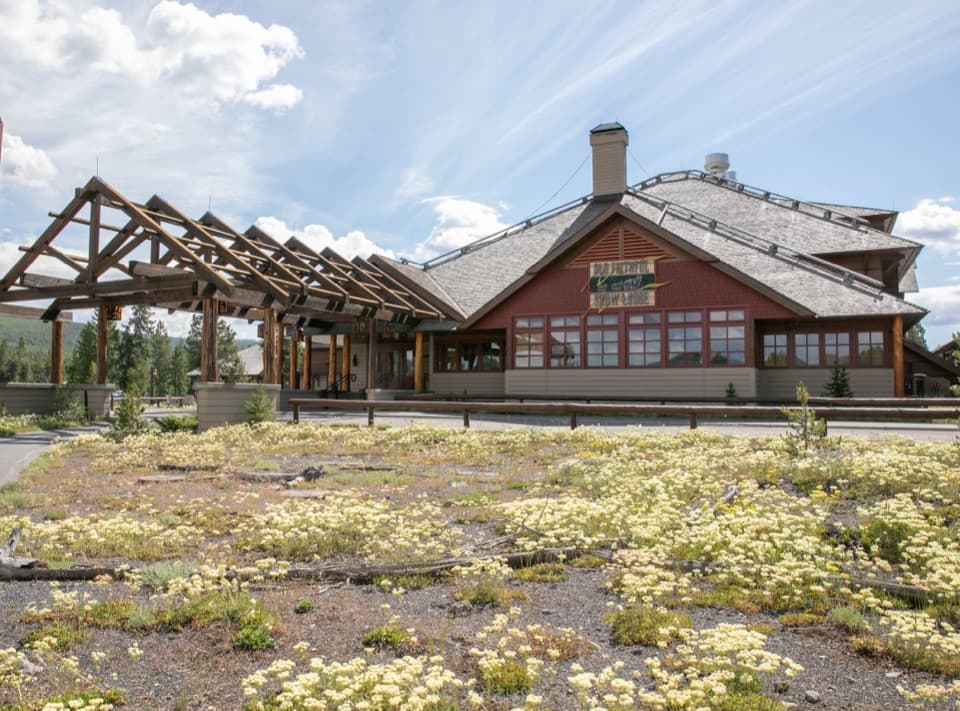 Lodging · 0.2 mi awayOld Faithful Snow Lodge and CabinsSleep near the basin; the geysers are a short walk away.
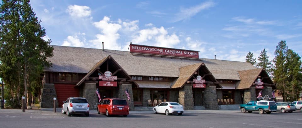 Store · 0.2 mi awayOld Faithful General Store - UpperA 1929 general store with a huge fireplace and practical supplies.
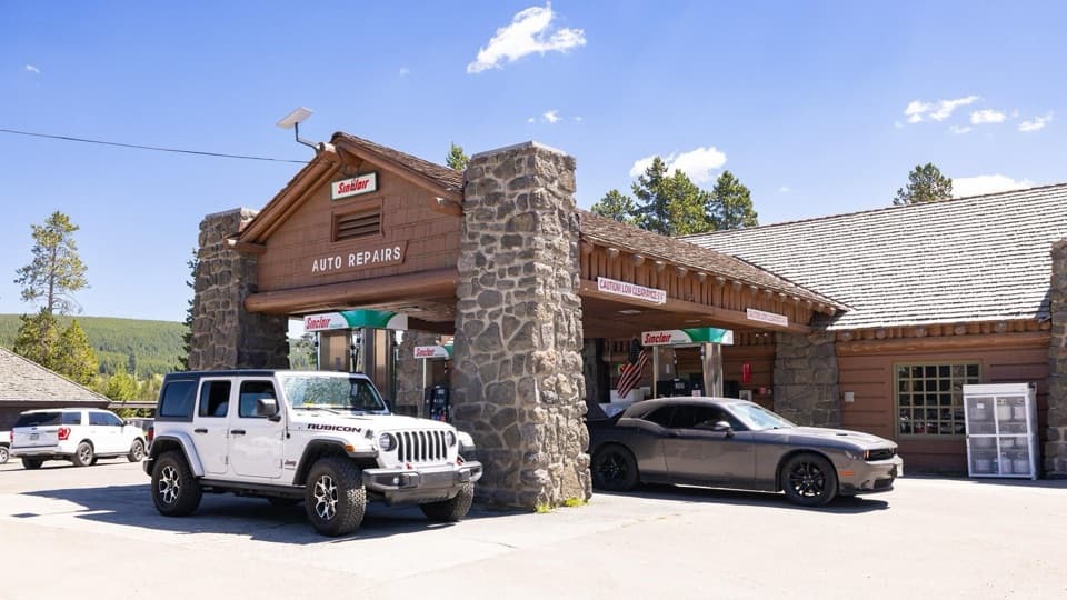 Gas station · 0.2 mi awayOld Faithful Gas and Service Station - UpperA useful in-park stop for fuel, propane, snacks, or repairs.
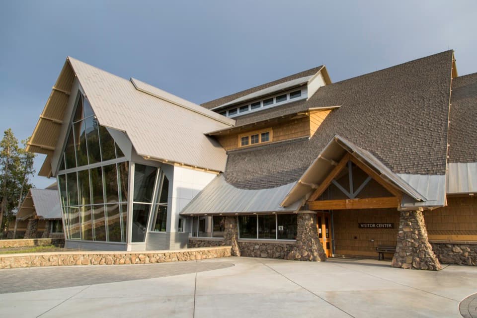 Visitor center · 0.3 mi awayOld Faithful Visitor Education CenterWatch Old Faithful indoors, then get the science behind the eruptions.
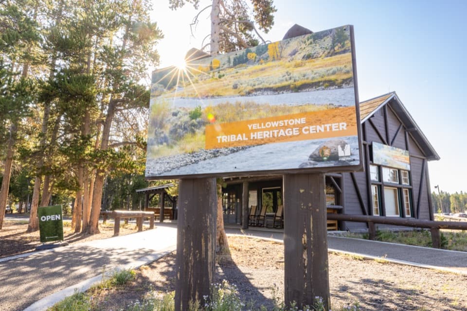 Sight · 0.4 mi awayYellowstone Tribal Heritage CenterMeet Indigenous presenters in a historic Haynes photo shop.
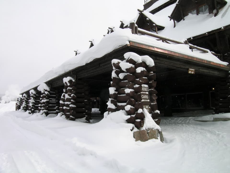 Sight · 0.4 mi awayOld Faithful InnA six-story log lobby makes this historic inn worth a look.
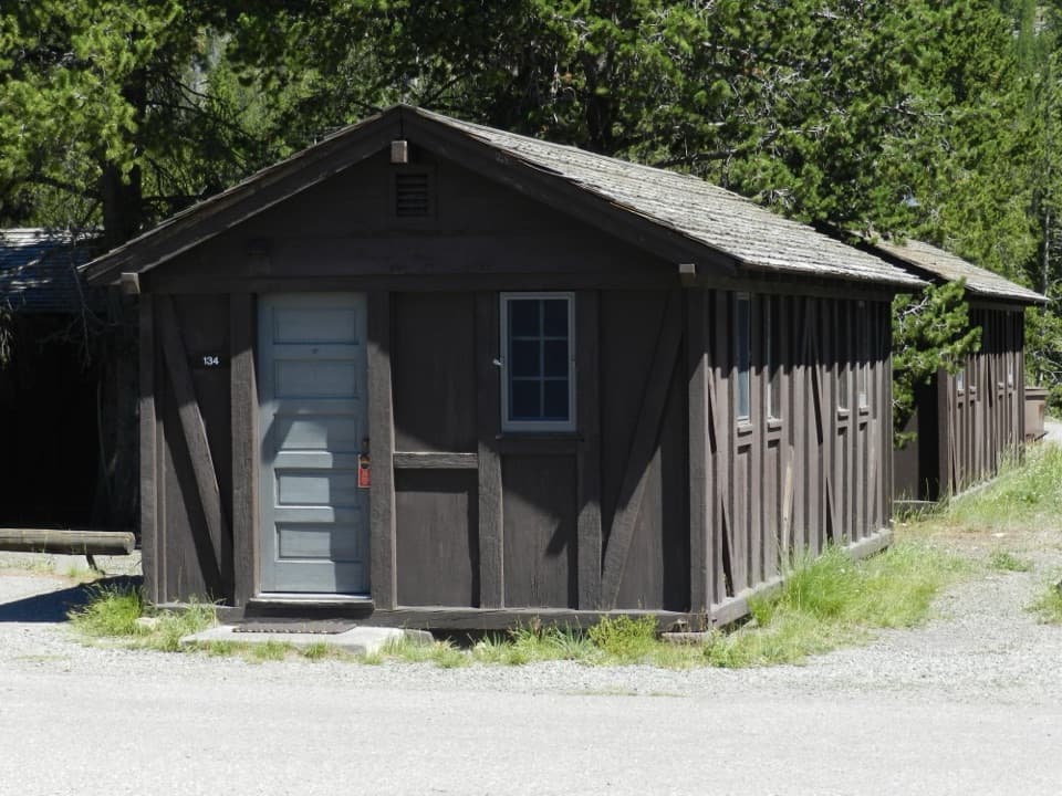 Lodging · 0.4 mi awayOld Faithful Lodge CabinsA rustic cabin stay within easy reach of Old Faithful.
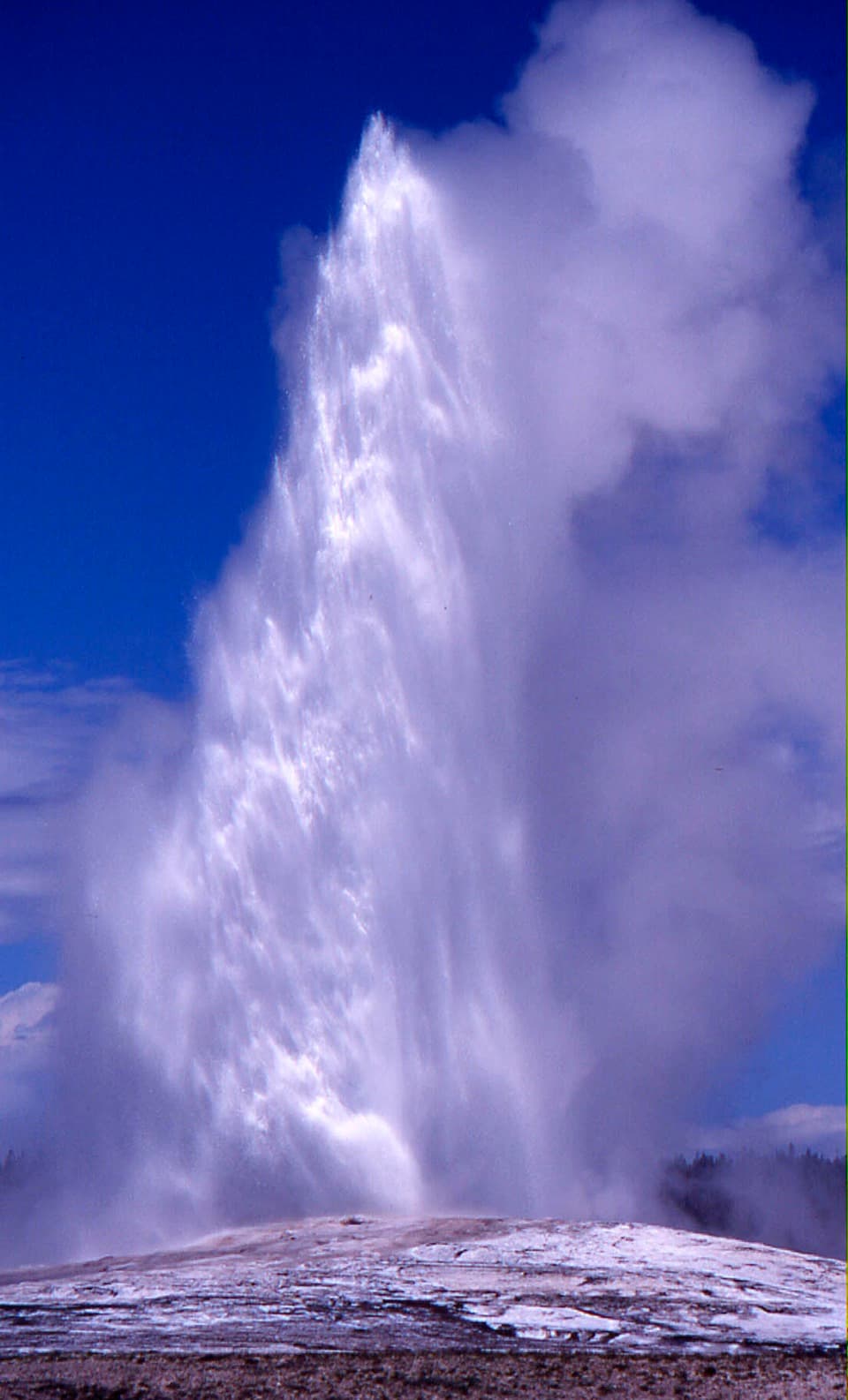 Sight · 0.5 mi awayOld Faithful GeyserThe eruption is brief; the basin boardwalk makes a longer stop worthwhile.
Parkwolf’s Yellowstone ranking

The audio tour guide for the drive, plus offline maps, trails, and wildlife heatmaps for when the signal drops.




