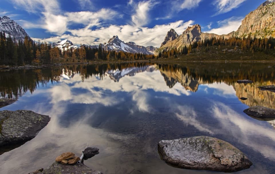
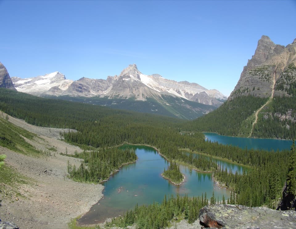
Linda Lake in Yoho National Park

Sight · Yoho National Park

Linda Lake

A steep climb leads to a lake above Morning Glory Lakes.

Photo: CC BY-SA 2.0

Overview

About Linda Lake

Why stop

  • A shoreline circuit through emerald water and alpine scenery

Heads up

  • A steep approach and managed Lake O’Hara access take planning

Map

Where it is

Loading the Yoho map
Full map
SightLinda Lake51.37055, -116.37451
Keep this map with you offline in the Parkwolf app

Plan your stop

Before you go

Make access part of the plan

The Lake O’Hara access road is closed to visitor cars and bikes. Day visitors need an advance shuttle reservation, or can hike the 11 km road each way. July through late September is the prime hiking season; higher routes can stay snowbound until late June. Le Relais, back in the Lake O’Hara area, is a seasonal day shelter where you can warm up and buy a hot drink or snack; there’s no food service at Linda Lake.

5 active Yoho alerts

  • ClosureYoho Valley Road closed for avalanche seasonYoho Valley Road is closed to vehicles from mid-October to mid-June because of avalanche risk. - Parks Canada’s current trail report lists no vehicle access to trails in the Yoho Valley.Official details
  • CautionWatercraft and angling prohibited in YohoWatercraft use and angling are prohibited on all waterbodies in Yoho National Park until March 31, 2027, to reduce the spread of aquatic invasive species, including whirling disease.Official details
See all 5 alerts
A park ranger sits on a dash-mounted phone, talking, as Parkwolf’s Tour Guide plays “Army Cutworm Moths: A Grizzly Bear Buffet” on Grand Loop Road below Dunraven Pass in Yellowstone
Parkwolf Tour GuideThe highest, rockiest slopes around here are a summer buffet for grizzly bears.

Yoho Tour Guide

Your drive to Linda Lake, narrated.

Parkwolf is a GPS audio tour guide for Yoho National Park. As you drive, it chimes in with what’s ahead: hidden gems, upcoming stops, history, geology, and wildlife, right through your car’s speakers.

See the Yoho audio tour

More stories near here in the app

  • The Bird That Plants Pines
  • Lower Spiral Tunnel: Climbing Inside the Mountain
  • Kicking Horse and Monarch: Camping by the River
  • A Predator With a Softer Menu
  • 35 audio storiesacross Yoho’s roads, triggered by GPS as you drive
  • Wildlife heatmapsfor Grizzly Bear, Mountain Goat, Black Bear, and 13 more
  • Works offlinemaps, 54 trails, 58 places, and audio download before you lose signal
  • CarPlay readysimple controls built for the drive
★★★★★
“Fantastic app with many points of information… It’s great to just turn on while you’re driving and it gives you an audio tour of the national Park. We love it!!!!”
JMJamesApp Store review
Download Parkwolf on the App StoreGet Parkwolf on Google Play

4.7 from 8,600+ ratings

Guide

More about Linda Lake

A lake reached by a real climbLinda Lake is an alpine lake in Yoho’s Lake O’Hara area, reached from Elizabeth Parker Hut by…

Linda Lake is an alpine lake in Yoho’s Lake O’Hara area, reached from Elizabeth Parker Hut by way of Lower Morning Glory Lake. It’s a good add-on if you want a shore circuit among the larger Lake O’Hara hikes; this is a hiking destination, not a roadside pullout. The Linda Lake and Morning Glory route is listed as 3.5 km one way with 140 m of elevation gain from the hut.

The climb and the circuitThe trail stays level through forest for the first 1.6 km from the hut.

The trail stays level through forest for the first 1.6 km from the hut. After the Lower Morning Glory Lake connection, the Linda Lake Beeline climbs steeply for its final 300 m to the water. From there, the trail circles the shoreline and descends on gradual switchbacks to the Lower Morning Glory Trail, or continues to Lake O’Hara Campground. It’s a through-route, so plan how you’ll connect it to the rest of your day.

Look around the wider basinAt the west end of Linda Lake, the trail continues through meadows toward Cathedral Lakes.

At the west end of Linda Lake, the trail continues through meadows toward Cathedral Lakes. The northeast ridge of Mount Odaray rises as a 900 m rock buttress above Duchesnay Valley, giving this walk a much bigger alpine backdrop than the lake alone.

A landscape shaped by iceMany lakes in the Lake O’Hara area are kettle ponds: depressions in glacial debris left when…

Many lakes in the Lake O’Hara area are kettle ponds: depressions in glacial debris left when buried chunks of ice melted. Linda Lake itself isn’t specifically identified as one, but that glacial history helps explain the basin’s chain of lakes and hollows.

The shoreline viewThe lake’s emerald water, wooded edges and steep alpine slopes make the circuit the best place…

The lake’s emerald water, wooded edges and steep alpine slopes make the circuit the best place to take in its scale. From the shore, include a strip of forest with the water and mountain backdrop so the frame shows more than a sheet of turquoise.

Wildlife

Wildlife in Yoho

All Yoho wildlife maps

Sighting maps show where each species has been reported across Yoho. Wildlife moves, so no sighting is guaranteed.

Keep exploring

Near Linda Lake

See it all on the map

Trails nearby

More stops nearby

Parkwolf’s Yoho ranking

Top sights in Yoho

All 58 places
  1. 1Emerald LakeSight
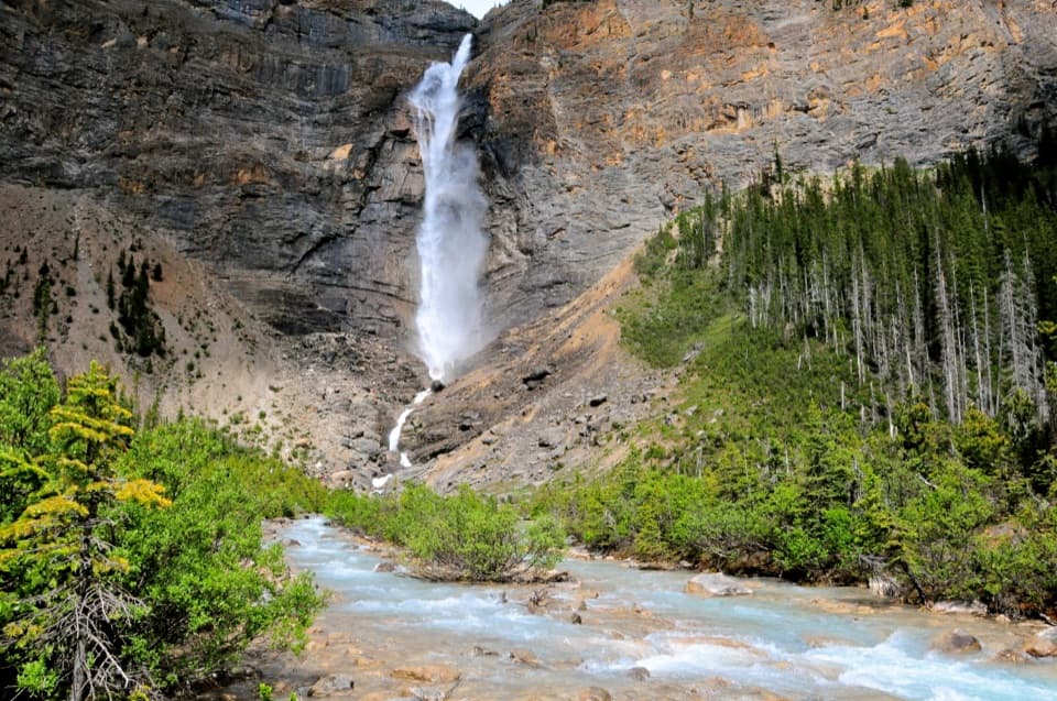
  2. 2Takakkaw FallsSight
  3. 3Natural BridgeSight
  4. 4Lake O’HaraSight
  5. 5Lower Spiral Tunnel ViewpointSight
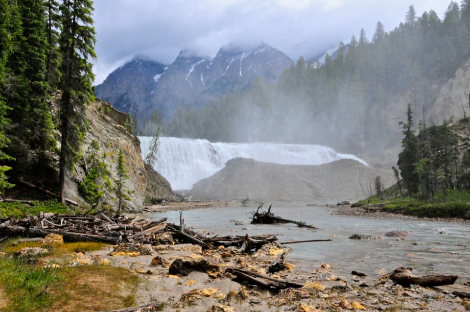
  6. 6Wapta FallsSight

Take Parkwolf to Yoho.

The audio tour guide for the drive, plus offline maps, trails, and wildlife heatmaps for when the signal drops.

4.7 from 8,600+ ratings

Download Parkwolf on the App StoreGet Parkwolf on Google Play