Hawes in Yorkshire Dales National Park

Sight · Yorkshire Dales National Park

Hawes

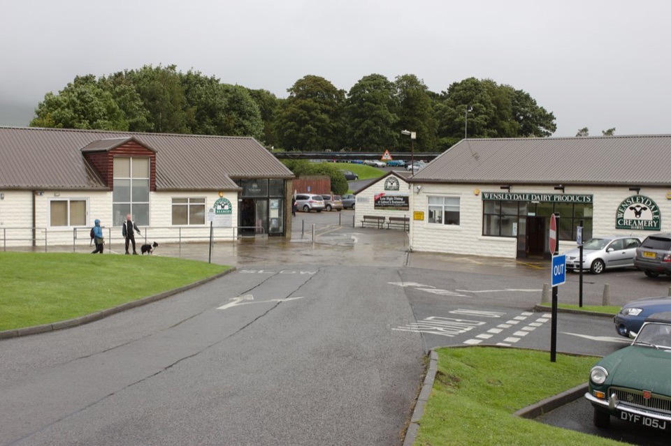
Hawes: working Wensleydale market town, cheese and walkers' crossroads

Photo: Wikimedia Commons
Type
Sight
Nearest trail
0.2 km
Audio stories
7 nearby
  • Parking
  • Restrooms
  • Food
  • Store

Hear the audio tour

Hawes and the Dales Countryside Museum

Overview

About Hawes

Why stop

  • Genuine market-town character with food, shops and local producers
  • Strong base for Upper Wensleydale walks

Heads up

  • Busy in school holidays and on market days
  • Cobbles and gradients make some streets awkward
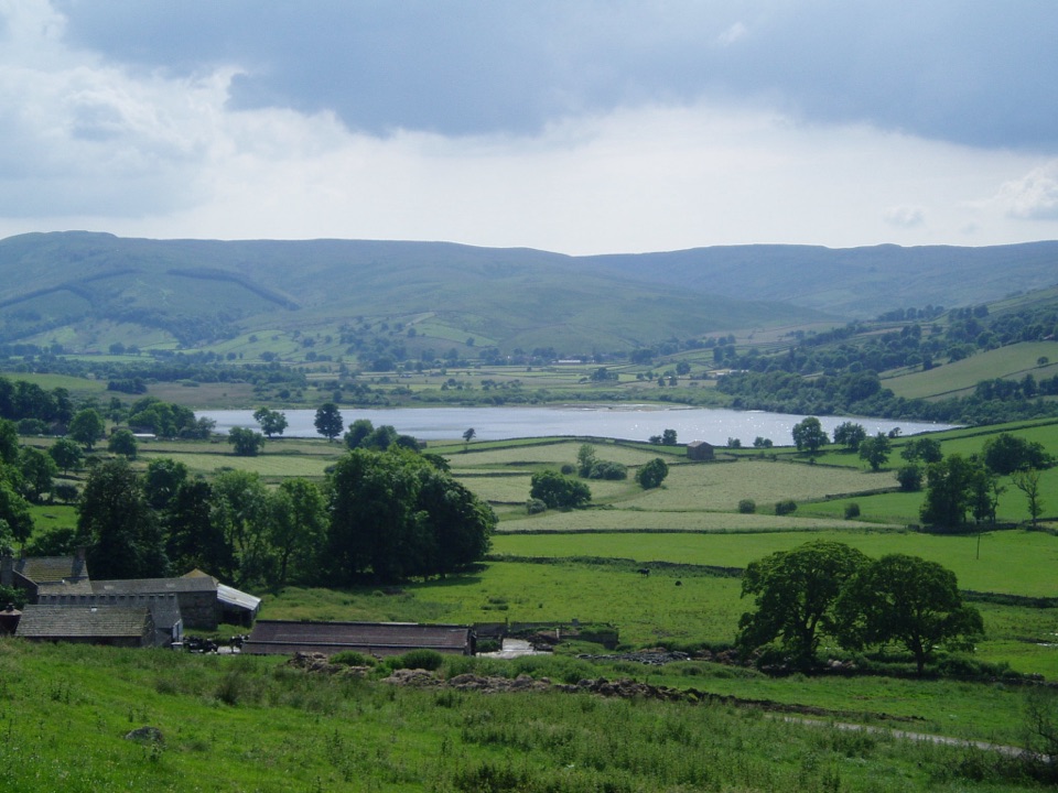
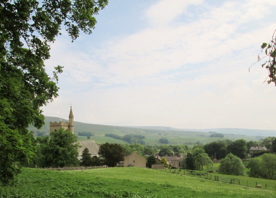
Hawes is the hub of Upper Wensleydale, and it earns that status by still being a working town rather than a showpiece. Independent shops, cafes, food producers and an auction mart sit alongside the visitor traffic, so you get a real sense of Dales farming life along with somewhere to eat, restock and get information before heading out.
Parkwolf’s verdictWhy stop here

Map

Where it is

Loading the Yorkshire Dales map
Full map
SightHawes54.30413, -2.19653
Keep this map with you offline in the Parkwolf app

Plan your stop

Before you go

Best time to visit

Late spring to early autumn on a weekday morning is the sweet spot: long daylight for the walks, hay meadows and waterfalls that can be looking their best, and thinner crowds than a summer weekend. If you want the market-town atmosphere at full tilt, come on a market day and arrive early to park. Winter is quiet and atmospheric with low light on the fells, but weather closes in fast on the high roads in and out, and fewer places may be open.


1 active Yorkshire Dales alert

  • ClosureTemporary closures on public rights of wayAvoid the listed sections of public rights of way while their temporary closures or pedestrian prohibition are in force. - Public Bridleway No. 52 (05.Official details
Yorkshire Dales alerts
A park ranger sits on a dash-mounted phone, talking, as Parkwolf’s Tour Guide plays “Army Cutworm Moths: A Grizzly Bear Buffet” on Grand Loop Road below Dunraven Pass in Yellowstone
Parkwolf Tour GuideThe highest, rockiest slopes around here are a summer buffet for grizzly bears.

Yorkshire Dales Tour Guide

Your drive to Hawes, narrated.

Parkwolf is a GPS audio tour guide for Yorkshire Dales National Park. As you drive, it chimes in with what’s ahead: hidden gems, upcoming stops, history, geology, and wildlife, right through your car’s speakers.

Recorded for this place

Hawes and the Dales Countryside Museum
0:00 / 0:28
“You're coming into Hawes, a working Upper Wensleydale market town where shops and cafés sit beside a livestock auction mart.”

Plays as you drive up to Hawes in the Parkwolf Yorkshire Dales Tour Guide.

More stories near here in the app

  • Wensleydale Creamery
  • One Cow per Beastgate
  • Knitting on the Way to Work
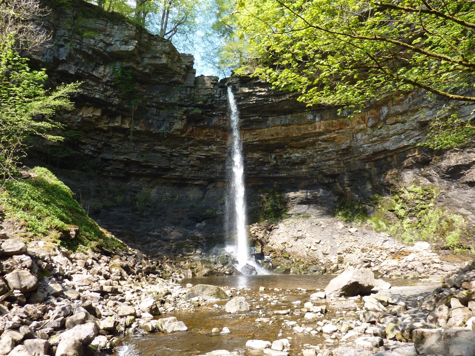
  • Hardraw Force
  • 298 audio storiesacross Yorkshire Dales’s roads, triggered by GPS as you drive
  • Wildlife heatmapsfor Eurasian Otter, Atlantic Salmon, Short-eared Owl, and 13 more
  • Works offlinemaps, 99 trails, 63 places, and audio download before you lose signal
  • CarPlay readysimple controls built for the drive
★★★★★
“Fantastic app with many points of information… It’s great to just turn on while you’re driving and it gives you an audio tour of the national Park. We love it!!!!”
JMJamesApp Store review
Download Parkwolf on the App StoreGet Parkwolf on Google Play

4.7 from 8,600+ ratings

Guide

More about Hawes

What to see and doWander the town centre: stone-built streets, a market square, traditional shops and independent…
  • Wander the town centre: stone-built streets, a market square, traditional shops and independent food producers, including local preserves and a long cheese-making tradition rooted in milk from surrounding family farms.
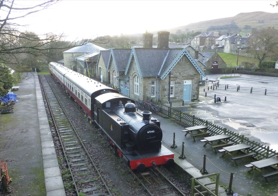
  • The old railway station at the edge of town now houses the Dales Countryside Museum and the National Park visitor centre, where staff hand out leaflets and walk advice.
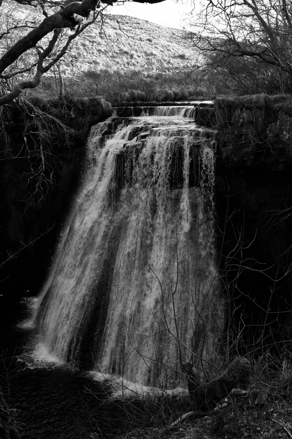
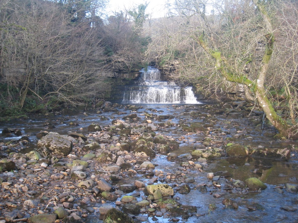
  • Short walks: routes head out towards Sedbusk and Hardraw, or south to Aysgill Force, giving you waterfalls and hay meadows within an easy outing.
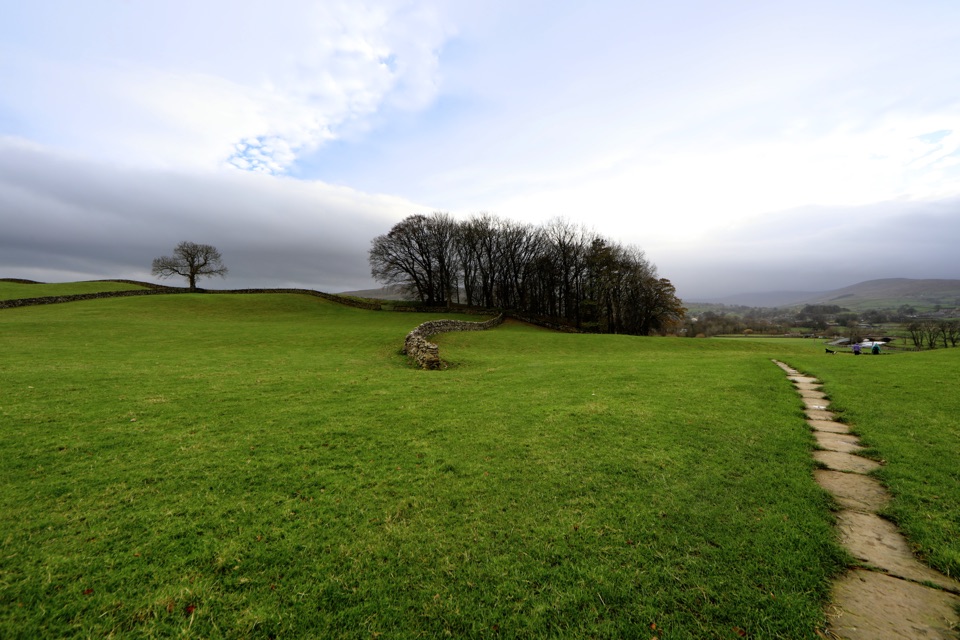
  • The Hawes Mosaic Walk: a circular route of roughly 10.8 miles taking about 4.5 hours, low-level for most of its length, taking in 20 community mosaics. It splits neatly into shorter sections if you do not want the full day.
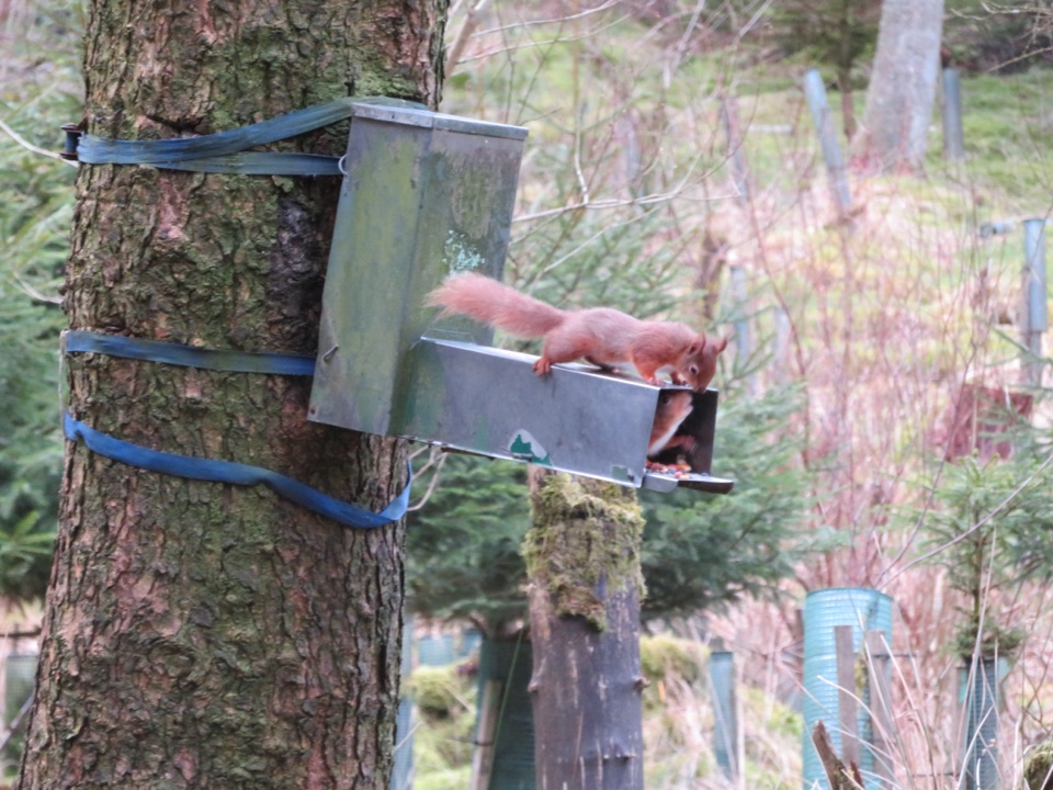
  • Local extras: the auction mart is worth a look for a glimpse of working farming, and a small local bus service runs to the Snaizeholme red squirrel trail.
Practical access and walkingThe National Park car park sits by the museum and has public toilets, including a RADAR toilet,…

The National Park car park sits by the museum and has public toilets, including a RADAR toilet, blue-badge bays, a small picnic area and an electric car charger. There is a Changing Places toilet in the museum. A second pay-and-display car park sits in the town centre.

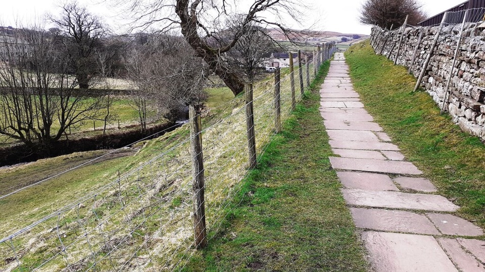
From the National Park car park there is a short accessible walk of up to two miles, mostly low-level, though it includes a cobbled section at a 1:7 gradient and a run of stone flags around a metre wide, with a rest area along the way. The stroll from town to the creamery is short, under a kilometre, but expect pavements, cobbles and a few gradients.

The car park is also a Dark Sky Discovery site, which makes Hawes a reasonable place to end a day if you want a look at the night sky.

Honest drawbacksIt gets busy, particularly in school holidays and on market days, and parking in the centre…
  • It gets busy, particularly in school holidays and on market days, and parking in the centre fills up first.
  • Hawes is a small town, so this is a couple of hours of pottering plus a walk rather than a full day in itself.
  • Cobbles, gradients and narrow footways mean the streets are not uniformly easy going, whatever the marked accessible route offers.
  • Opening arrangements for individual shops, cafes and attractions can vary through the year, so check before you rely on any one of them.
Why stop hereIt is also a practical base for the western dales.

It is also a practical base for the western dales. Waterfall walks, the Wensleydale Creamery and the Dales Countryside Museum are all within a short distance, and buses and lanes radiate out from the centre.

Wildlife

Wildlife in Yorkshire Dales

All Yorkshire Dales wildlife maps

Sighting maps show where each species has been reported across Yorkshire Dales. Wildlife moves, so no sighting is guaranteed.

Keep exploring

Near Hawes

See it all on the map

Trails nearby

More stops nearby

Parkwolf’s Yorkshire Dales ranking

Top sights in Yorkshire Dales

All 63 places
  1. 1Malham CoveSight
  2. 2Aysgarth FallsSight
  3. 3Ribblehead ViaductSight
  4. 4Gordale ScarSight
  5. 5Bolton CastleSight
  6. 6Janet's FossSight

Take Parkwolf to Yorkshire Dales.

The audio tour guide for the drive, plus offline maps, trails, and wildlife heatmaps for when the signal drops.

4.7 from 8,600+ ratings

Download Parkwolf on the App StoreGet Parkwolf on Google Play