Semerwater and Raydale Circular in Yorkshire Dales National Park

Yorkshire Dales National Park, EN

Semerwater and Raydale Circular

Lakeside nature reserve first, then a steep climb to high views

Photo: Wikimedia Commons
Length
11.8km
Time
4.5hr
Elev. change
275m
Difficulty
Moderate
  • Loop
  • Dogs allowed
  • High point 524 m
  • #30 of 99 in Yorkshire Dales

Hear the audio tour

Semerwater and Raydale

Overview

About Semerwater and Raydale Circular

A closed loop of 7.33 miles, measured from the Low Blean parking area and including the short there-and-back access to Semerwater Bridge at each end. Mapped elevation samples along the corridor range from about 249 to 524 metres, which describes the height band the walk passes through rather than total ascent. Allow roughly four and a half hours at a steady walking pace.

Why go

  • Peaceful lake and wetland scenery before a rewarding high return
  • Wide views over Semer Water and Raydale from the upper route

Heads up

  • Steep, rough climb out of Marsett
  • Uneven ground, livestock fields and awkward navigation at gates

Map & elevation

The route

Loading the Yorkshire Dales map
Full map
Elevation249–524 m
TrailheadLow Blean Farm parking54.28310, -2.12104
Keep this map with you offline in the Parkwolf app

Plan your hike

Before you go

Parking

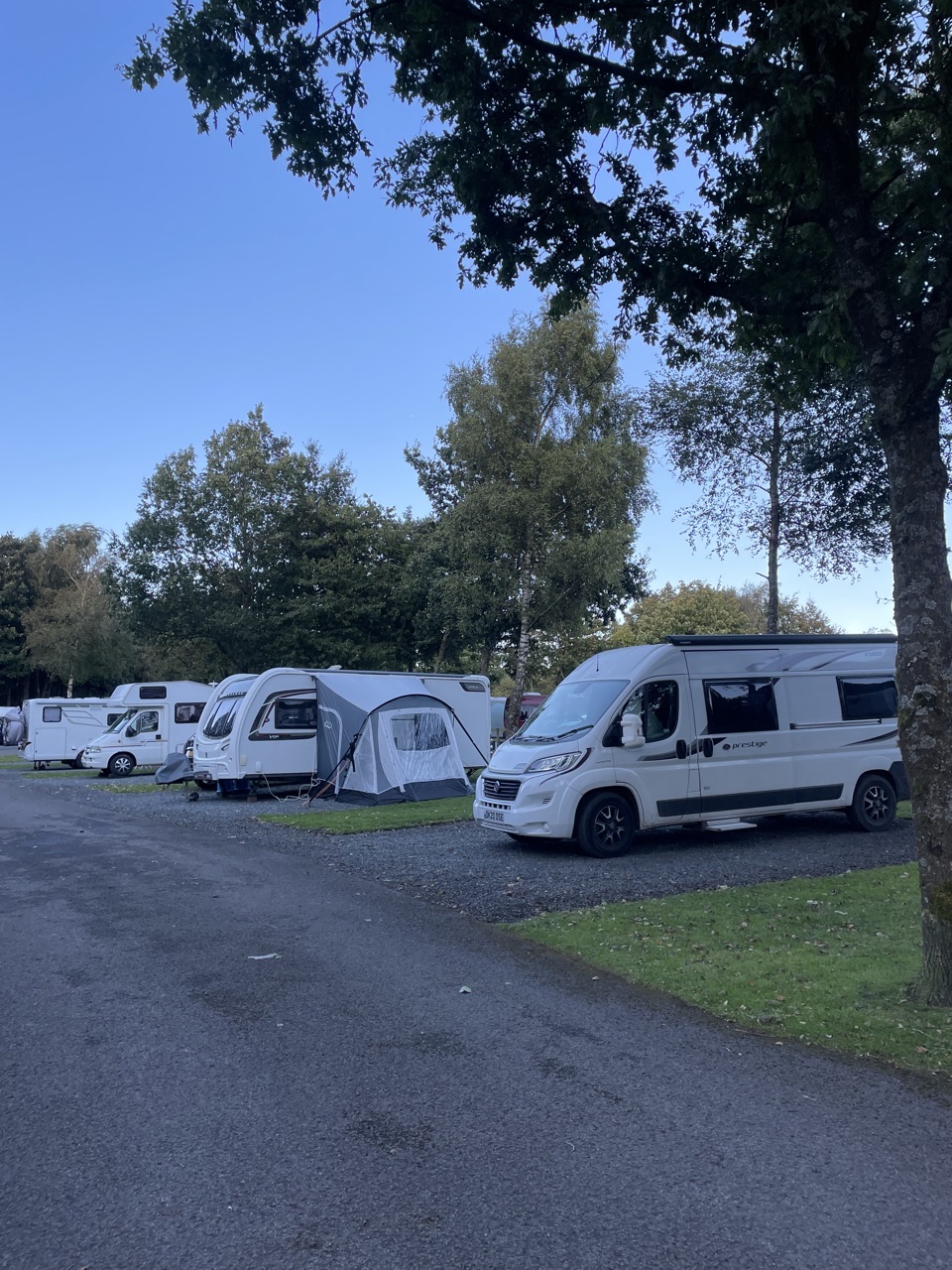
Park at the lakeside foreshore at the end of Semer Water by Low Blean Farm; obtain the parking ticket from the farm. The route joins Semerwater Bridge via a short access walk. Limited informal parking is also available at Marsett or Stalling Busk.


Best time to go

March to June is the strongest window for the reserve, combining breeding birds and meadow growth. July adds the water-lilies. Ground on the low section tends to be wettest through the colder, darker months, and the climb is less pleasant in prolonged wet. For photography, the high-level return faces back over the lake, so it works best in late-afternoon light on a clockwise start; early morning suits the lakeside and reserve, when the water is calmest and birds are most active.

Safety

Steep, uneven and potentially muddy ground; loose boulders on the Marsett access section; open high ground; livestock fields and a ford or stream context. Stay on public footpaths and keep dogs on a short lead.

1 active Yorkshire Dales alert

  • ClosureTemporary closures on public rights of wayAvoid the listed sections of public rights of way while their temporary closures or pedestrian prohibition are in force. - Public Bridleway No. 52 (05.Official details
Yorkshire Dales alerts
A park ranger sits on a dash-mounted phone, talking, as Parkwolf’s Tour Guide plays “Army Cutworm Moths: A Grizzly Bear Buffet” on Grand Loop Road below Dunraven Pass in Yellowstone
Parkwolf Tour GuideThe highest, rockiest slopes around here are a summer buffet for grizzly bears.

Yorkshire Dales Tour Guide

Your drive to Semerwater and Raydale Circular, narrated.

Parkwolf is a GPS audio tour guide for Yorkshire Dales National Park. As you drive, it chimes in with what’s ahead: hidden gems, upcoming stops, history, geology, and wildlife, right through your car’s speakers.

Recorded for this trailhead

Semerwater and Raydale
0:00 / 0:30
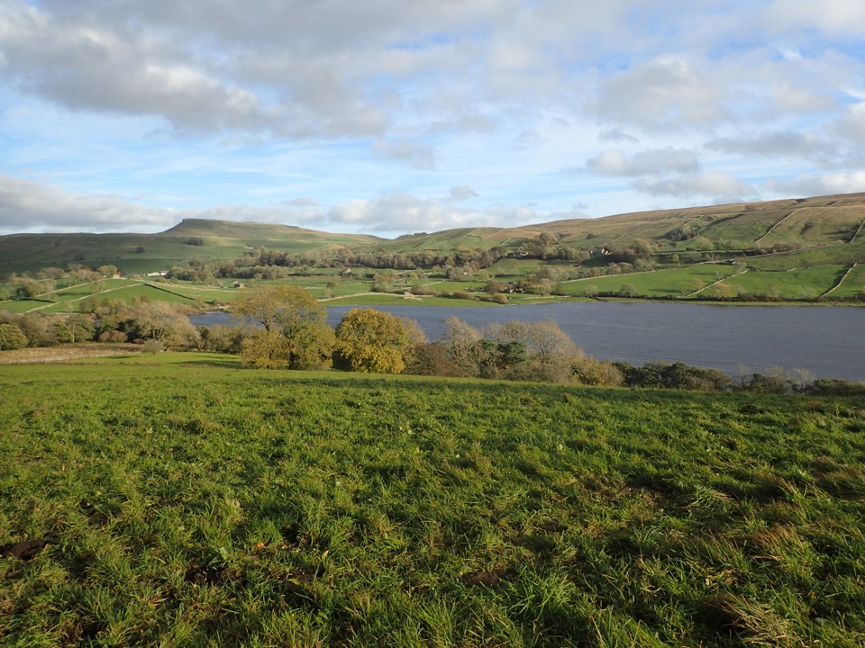
“You're approaching Semerwater in Raydale, one of only two natural lakes in the Yorkshire Dales. A glacier left this broad water among fields and rising hills.”

Plays as you drive up to this trailhead in the Parkwolf Yorkshire Dales Tour Guide.

More stories near here in the app

  • Countersett's Quiet Defiance
  • The Town Beneath Semerwater
  • A Whole River in a Few Kilometres
  • The Roman Stone Laid Face Down
  • 298 audio storiesacross Yorkshire Dales’s roads, triggered by GPS as you drive
  • Wildlife heatmapsfor Eurasian Otter, Atlantic Salmon, Short-eared Owl, and 13 more
  • Works offlinemaps, 99 trails, 63 places, and audio download before you lose signal
  • CarPlay readysimple controls built for the drive
★★★★★
“Fantastic app with many points of information… It’s great to just turn on while you’re driving and it gives you an audio tour of the national Park. We love it!!!!”
JMJamesApp Store review
Download Parkwolf on the App StoreGet Parkwolf on Google Play

4.7 from 8,600+ ratings

Trail guide

Hiking Semerwater and Raydale Circular

How it unfoldsThe payoff is the contrast: a low, water-level first half, then a raised return with wide views…

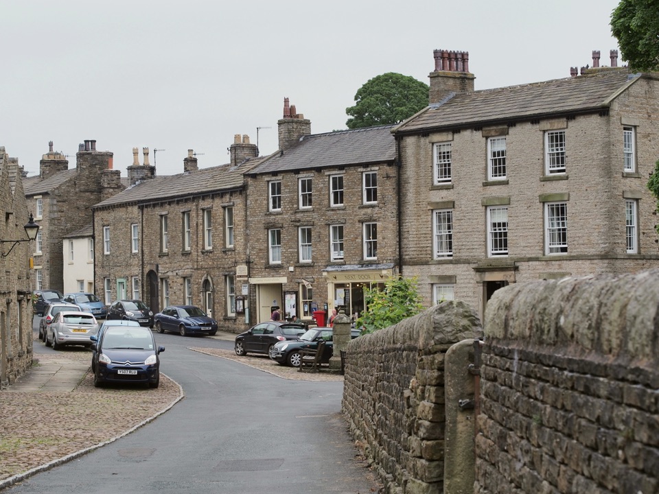
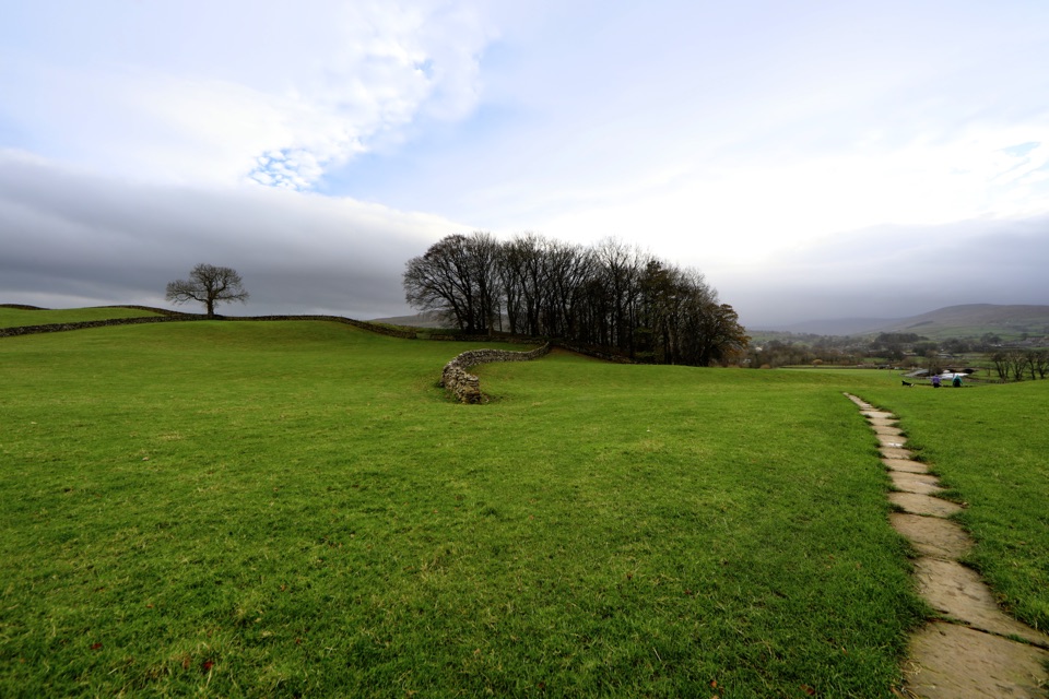
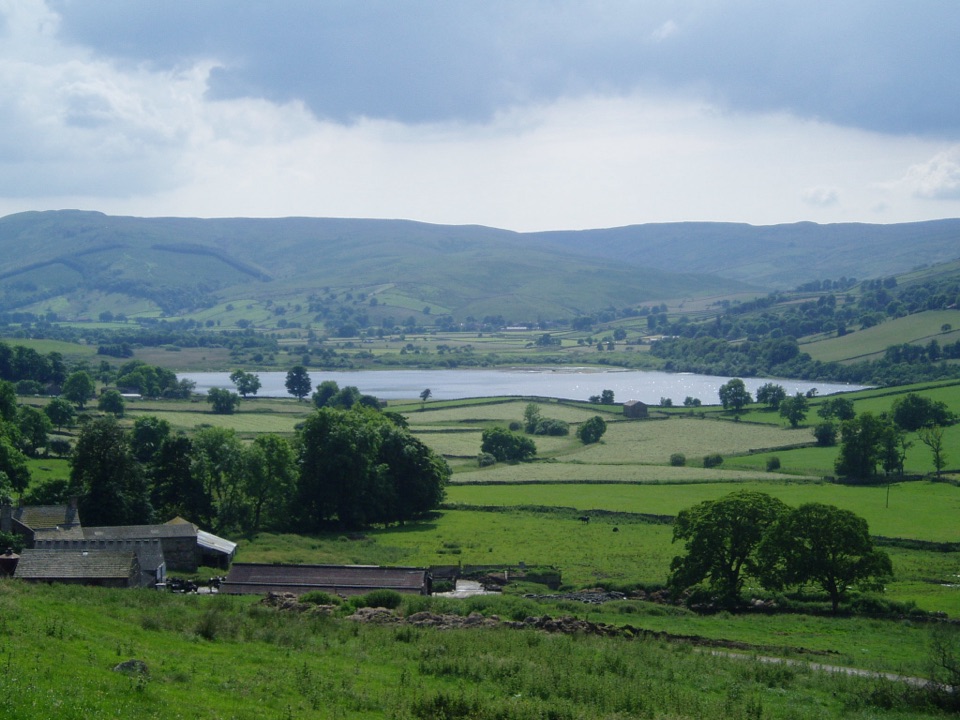
The payoff is the contrast: a low, water-level first half, then a raised return with wide views back down over the lake and the length of Raydale.

  • Low Blean parking to Semerwater Bridge, then along the lakeside path
  • Through the nature reserve ground to Stalling Busk and on to Marsett
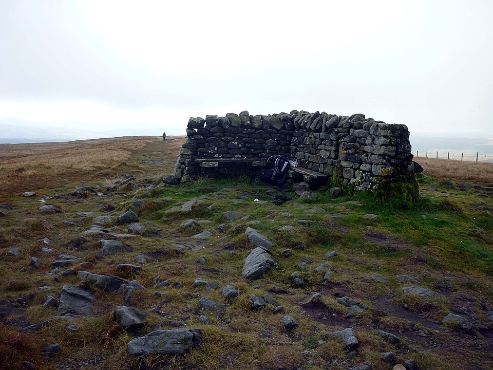
  • The climb out of Marsett past High Ash Gill Scar onto the high west side of Raydale
  • The high route by Swallow Hole, Carlows and the Green Scar area
  • Down to Countersett, back over Semerwater Bridge to the start
Difficulty and footingThis is a moderate to hard day walk, not a flat lake stroll.

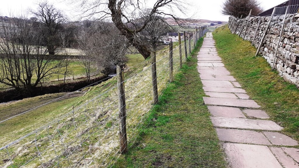
This is a moderate to hard day walk, not a flat lake stroll. The first half beside the water and through the reserve is relatively gentle. The pull out of Marsett is reasonably steep and sustained, and it is the section that sets the effort level for the day. The route links public footpaths, bridleways, tracks, quiet lanes, gates and field paths, with uneven and potentially muddy ground, livestock fields, and a stream and ford context on the lower section. The access track from Marsett is extremely uneven with large loose boulders, which matters if anyone in the group has limited mobility. Do not assume a consistent surface anywhere on the loop.

Route-finding and exposureMost navigation questions come in two places: leaving Marsett to find the correct line onto the…

Most navigation questions come in two places: leaving Marsett to find the correct line onto the high ground, and the field-path descent toward Countersett, where paths cross farmland and gates rather than following an obvious made track. Carry the map and confirm each gate. The high section is open and unsheltered, so wind and low cloud are felt more there than by the lake. Within the reserve, keep to the public footpaths, since leaving them is hazardous.

Water, wildlife and landscapeSemer Water is a naturally formed glacial lake in Raydale, unusual in this part of the Dales.

Semer Water is a naturally formed glacial lake in Raydale, unusual in this part of the Dales. The reserve around it holds fen, marsh, species-rich meadows, willow carr and mixed woodland. Recorded breeding and wintering birds include curlew, oystercatcher, lapwing, redshank, sand martin, wigeon, teal, mallard and snipe, with osprey occasionally noted. White-clawed crayfish are present, and yellow water-lilies show in July.

Parking and dogsPrimary access is the lakeside parking at the end of Semer Water by Low Blean Farm, with…

Primary access is the lakeside parking at the end of Semer Water by Low Blean Farm, with daytime parking on the foreshore and tickets obtained from the farm. Limited informal parking is also reported at Marsett and Stalling Busk. Dogs are legally permitted on this public-footpath route, but reserve guidance requires a short lead at all times to protect breeding and overwintering birds, and close control around livestock is expected throughout, particularly from March to July.

Shorter alternativeIf the steep climb is not wanted, a shorter low-level circuit of the lake gives the water and…

If the steep climb is not wanted, a shorter low-level circuit of the lake gives the water and the nature reserve without the high ground. It is a genuinely different route from the one described here, so plan it separately rather than treating it as a shortcut off this loop.

Wildlife

Wildlife in Yorkshire Dales

All Yorkshire Dales wildlife maps

Sighting maps show where each species has been reported across Yorkshire Dales. Wildlife moves, so no sighting is guaranteed.

Keep exploring

Near Semerwater and Raydale Circular

See it all on the map

Trails that start nearby

Places near the trailhead

Parkwolf’s Yorkshire Dales ranking

Top-rated trails in Yorkshire Dales

All 99 trails
  1. 1Yorkshire Three Peaks CircularChallenging · 38.6 km
  2. 2Malham Landscape TrailModerate · 7.2 km
  3. 3Ingleton Waterfalls TrailModerate · 6.9 km
  4. 4Pen-y-ghent CircularModerate · 9.7 km
  5. 5Ingleborough from ClaphamChallenging · 16.1 km
  6. 6Whernside CircularChallenging · 12.6 km

Take Parkwolf to Yorkshire Dales.

The audio tour guide for the drive, plus offline maps, trails, and wildlife heatmaps for when the signal drops.

4.7 from 8,600+ ratings

Download Parkwolf on the App StoreGet Parkwolf on Google Play