Parking
Hawes National Park Centre, DL8 3NT (SD 87499 89821). Start at the Dales Countryside Museum entrance; toilets are at the museum and on Hawes main street.
Yorkshire Dales National Park, EN
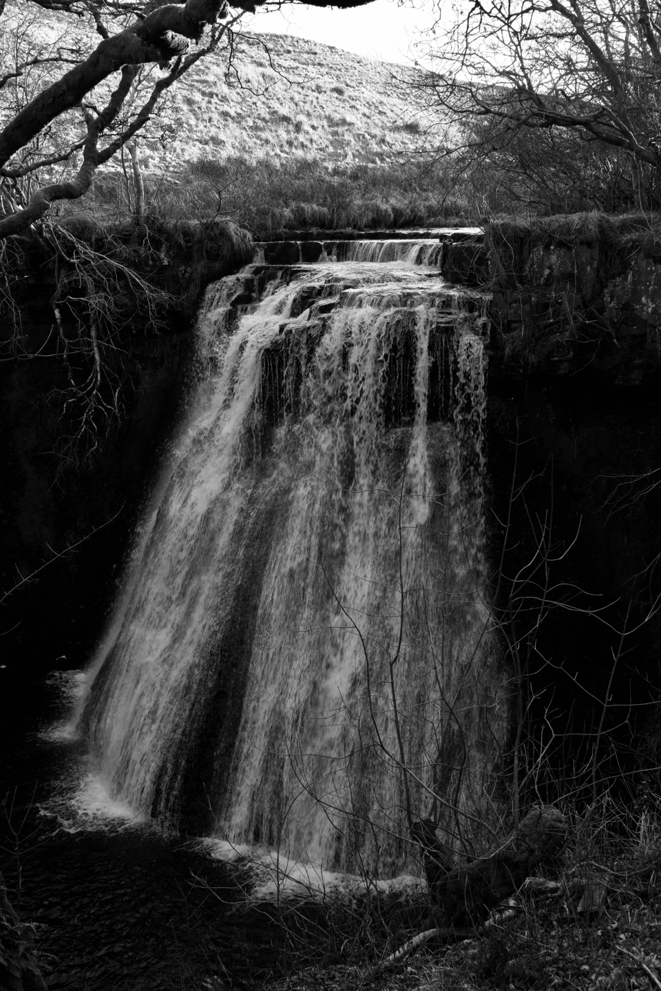
Cobbled lanes and steep steps to a gorge waterfall above Gayle
Overview
Map & elevation
Plan your hike

The highest, rockiest slopes around here are a summer buffet for grizzly bears.
Yorkshire Dales Tour Guide
Parkwolf is a GPS audio tour guide for Yorkshire Dales National Park. As you drive, it chimes in with what’s ahead: hidden gems, upcoming stops, history, geology, and wildlife, right through your car’s speakers.
Recorded for this trailhead
Hawes and the Dales Countryside Museum“You're coming into Hawes, a working Upper Wensleydale market town where shops and cafés sit beside a livestock auction mart.”
Plays as you drive up to this trailhead in the Parkwolf Yorkshire Dales Tour Guide.
More stories near here in the app
“Fantastic app with many points of information… It’s great to just turn on while you’re driving and it gives you an audio tour of the national Park. We love it!!!!”


Trail guide
A closed circular loop of 4 miles (6.5 km) starting and finishing at the Hawes National Park Centre and Dales Countryside Museum. The official leaflet gives a minimum of 1.5 hours, but allow around 2.5 hours if you want to manage the steps, stiles and the rocky ground near the falls without rushing.
Rated 6/10 and described officially as quite strenuous. Expect steep sections, narrow stiles, exposed tree roots and ledges near the waterfall, plus slippery rock at the falls themselves. Underfoot you get flagged path, village lane and cobbles, field paths, a rough track and walled lanes. The profile climbs from about 232 m at the start to a high point near 340 m, with roughly 130 m of ascent spread across the loop. Boots with grip are the sensible choice, and anyone uneasy on uneven ground or near drops should think carefully before committing to the gorge section.
The walk strings together Hawes and Gayle village character, open Wensleydale field patterns, walled lanes and the enclosed wooded gorge that holds the falls. Because Aysgill Force sits in a tight, shaded gorge, soft overcast light handles the contrast far better than bright midday sun. Give yourself time at the falls rather than shooting from the steps.
Dogs are welcome on this public rights of way route. Official guidance is to keep dogs on a lead on rights of way and in fields with livestock, and to use a short lead from March through July because ground-nesting birds are easily disturbed. Note that the stiles and steep steps make this a demanding outing for many dogs.
If you want the waterfall without the stiles, steps and slippery rock, head instead to Cotter Force, west of Hawes. It is a short, specially graded Miles without Stiles route suitable for pushchairs and wheelchair users, and a genuinely easier way to see falling water.
Wildlife
 10 sightingsEurasian OtterMost seen around 7 PMSighting map
 11 sightingsAtlantic SalmonMost seen around 7 AMSighting map
 12 sightingsShort-eared OwlMost seen around 7 PMSighting map
 22 sightingsWestern Barn OwlMost seen around 6 AMSighting map
 27 sightingsTawny OwlMost seen around 7 PMSighting map
 34 sightingsCommon KingfisherMost seen around 7 AMSighting map
Sighting maps show where each species has been reported across Yorkshire Dales. Wildlife moves, so no sighting is guaranteed.
Keep exploring
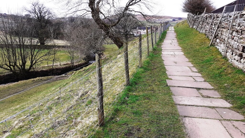 EasyHawes Accessible Walk1.5 km · 45 min · At the trailheadCobbled climb, then stone flags along Gayle Beck toward pasture viewsModerateHawes Mosaic Walk17.4 km · 4.8 hr · At the trailheadHunt 20 wall-set mosaics on a long Upper Wensleydale village loop
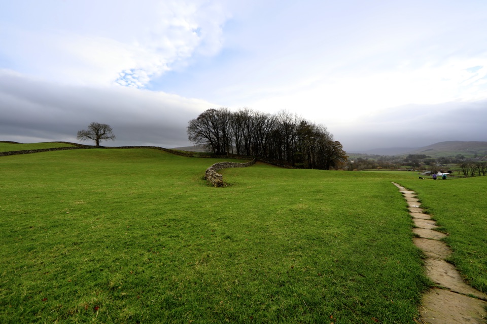 ModerateHawes to Sedbusk Circular5.6 km · 1.8 hr · At the trailheadHay meadows, field barns and a packhorse bridge on a short loop
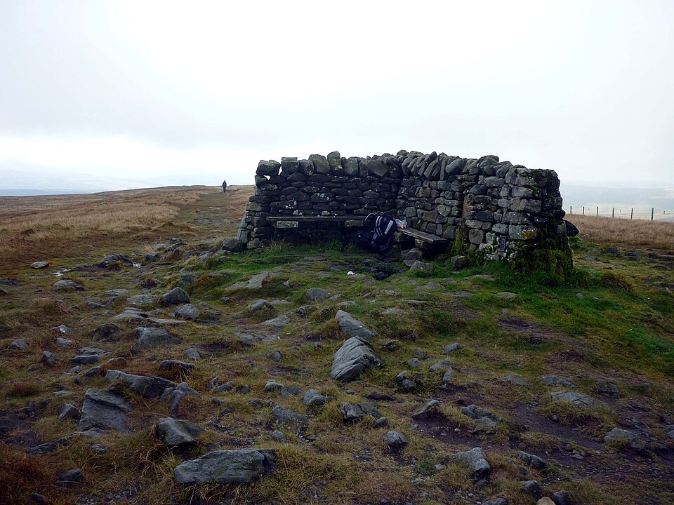 ModerateGreat Shunner Fell14.8 km · 5.7 hr · 1.6 km awaySteady Pennine Way climb from Hardraw to an exposed summit shelter
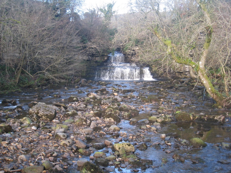 EasyCotter Force Accessible Walk1 km · 30 min · 3 km awayHalf a mile of graded gravel to six gentle waterfall cascades
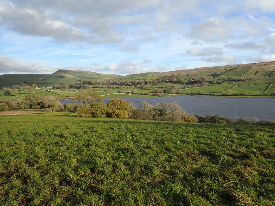 ModerateSemerwater and Raydale Circular11.8 km · 4.5 hr · 5.2 km awayLakeside nature reserve first, then a steep climb to high views
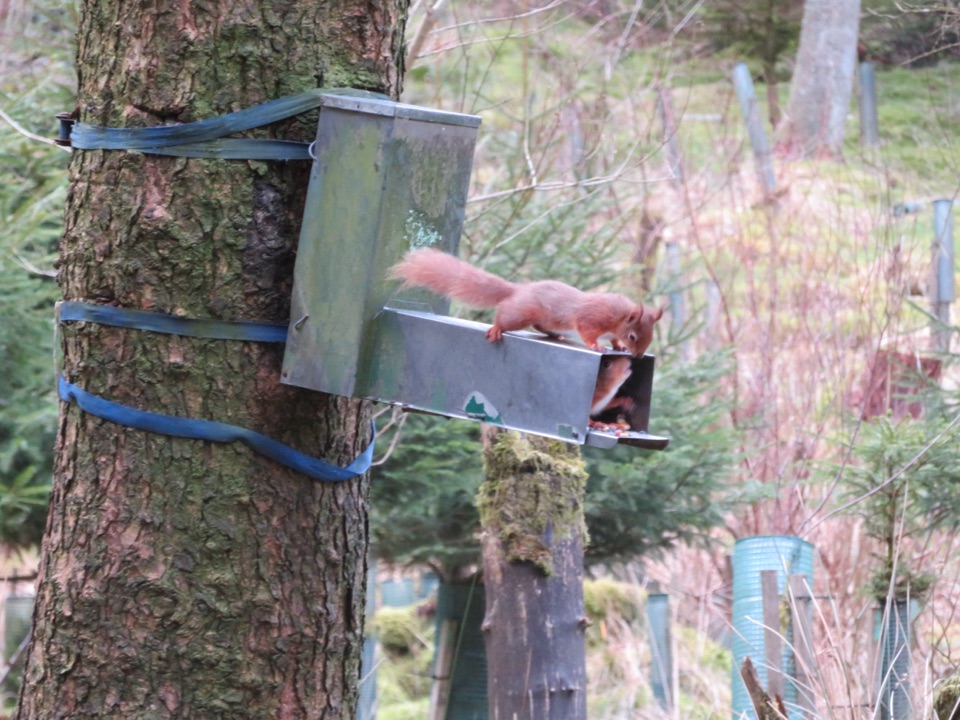 ModerateSnaizeholme Red Squirrel Trail4 km · 2 hr · 5.3 km awaySteep, muddy and worth it for a chance of red squirrels
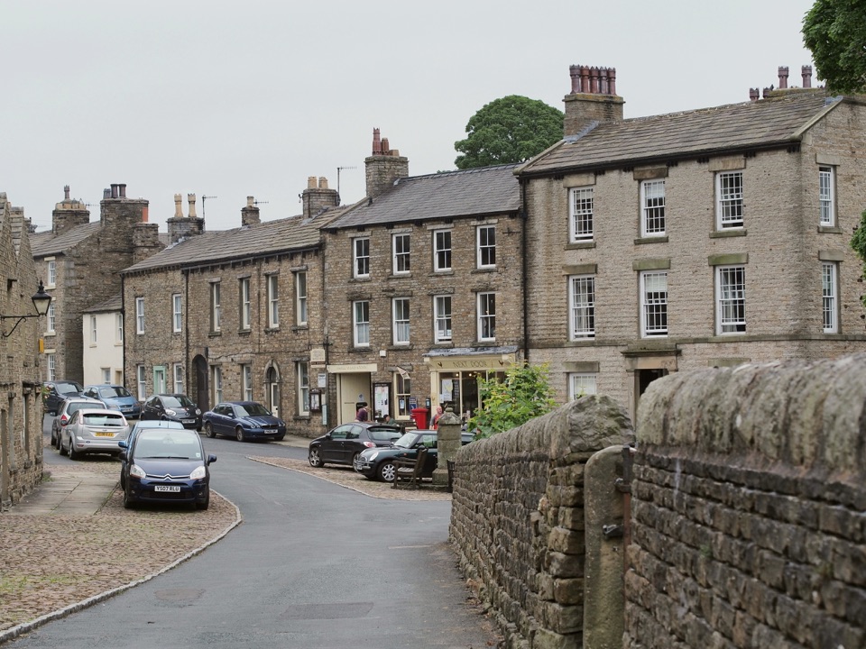 ModerateBainbridge Audio Trail7.2 km · 1.8 hr · 5.7 km awayMills, village greens and old railway on a 4.5-mile audio loop
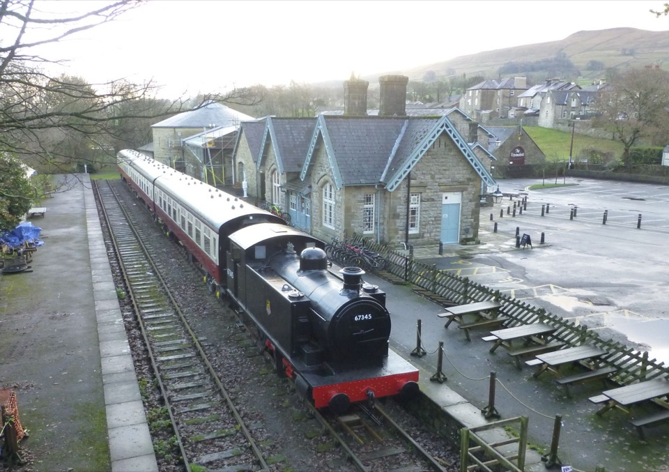 Sight · At the trailheadDales Countryside Museum & Hawes National Park CentreA Victorian station turned museum of Dales life, farming and railways
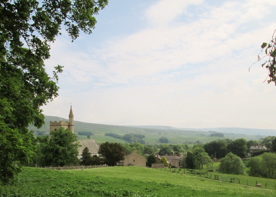 Sight · 0.2 km awayHawesHawes: working Wensleydale market town, cheese and walkers' crossroads
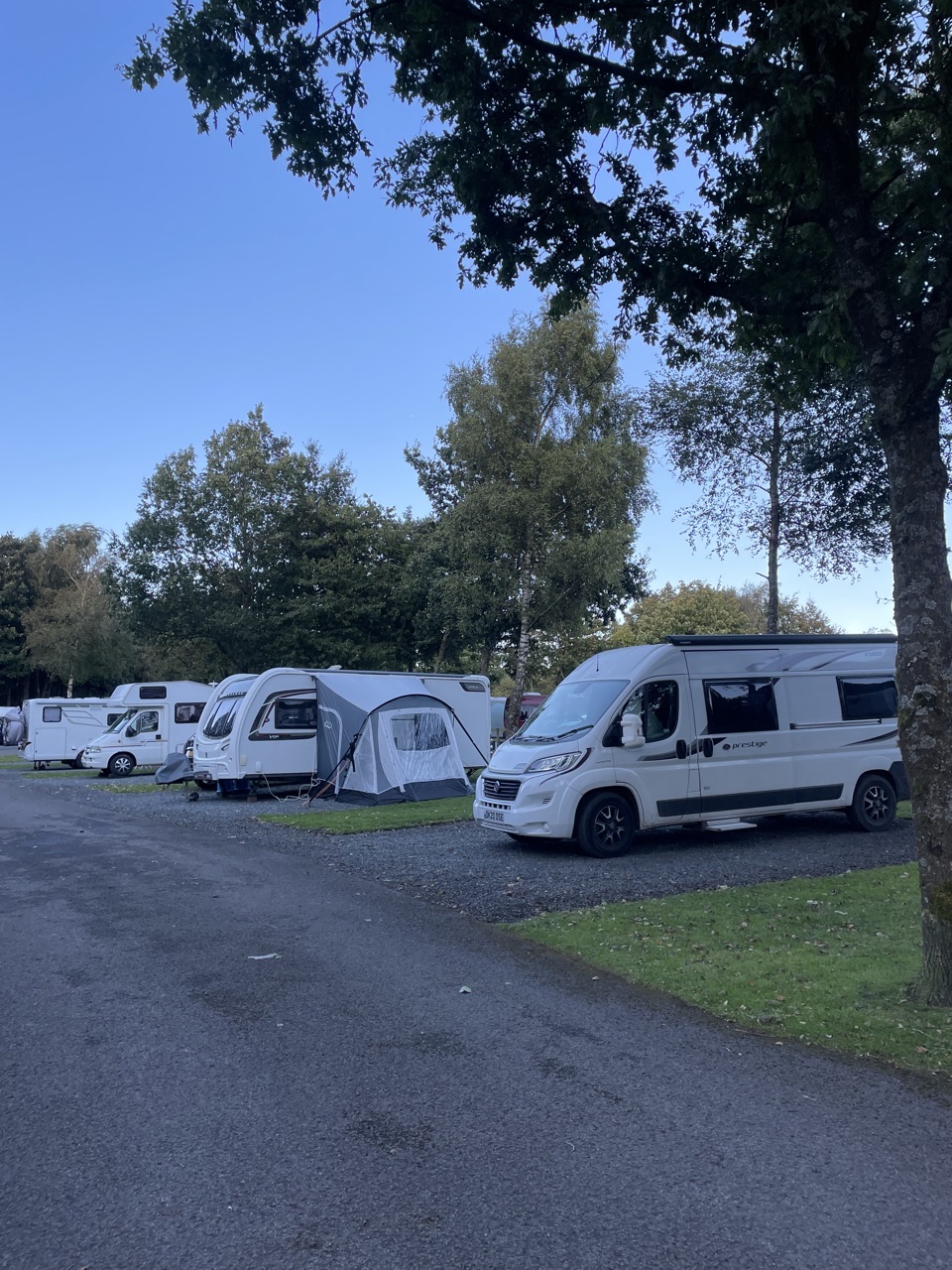 Campground · 0.5 km awayHawes Caravan and Motorhome Club CampsiteMembers-only touring base a ten-minute walk from Hawes market town
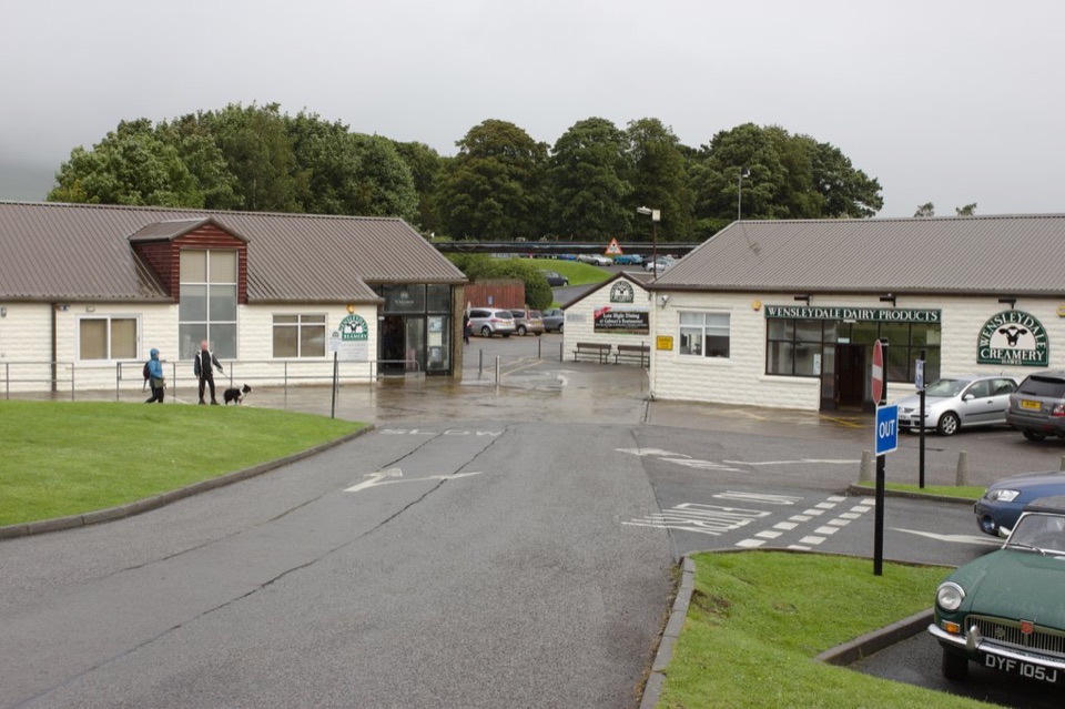 Sight · 0.6 km awayWensleydale Creamery Visitor CentreWatch Wensleydale cheese made by hand, then taste the full range
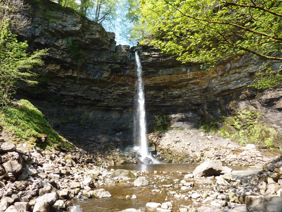 Sight · 1.8 km awayHardraw ForceEngland's highest single-drop waterfall, a ten-minute walk from the gateSight · 3.4 km awayCotter ForceA stile-free woodland stroll to six gentle cascades on Cotterdale Beck
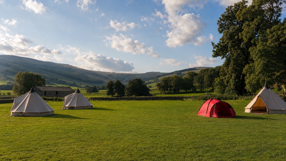 Campground · 4.8 km awayStablefell Holidays and CampsiteTent-only meadow pitches with firepits, no signal, walk to Semerwater
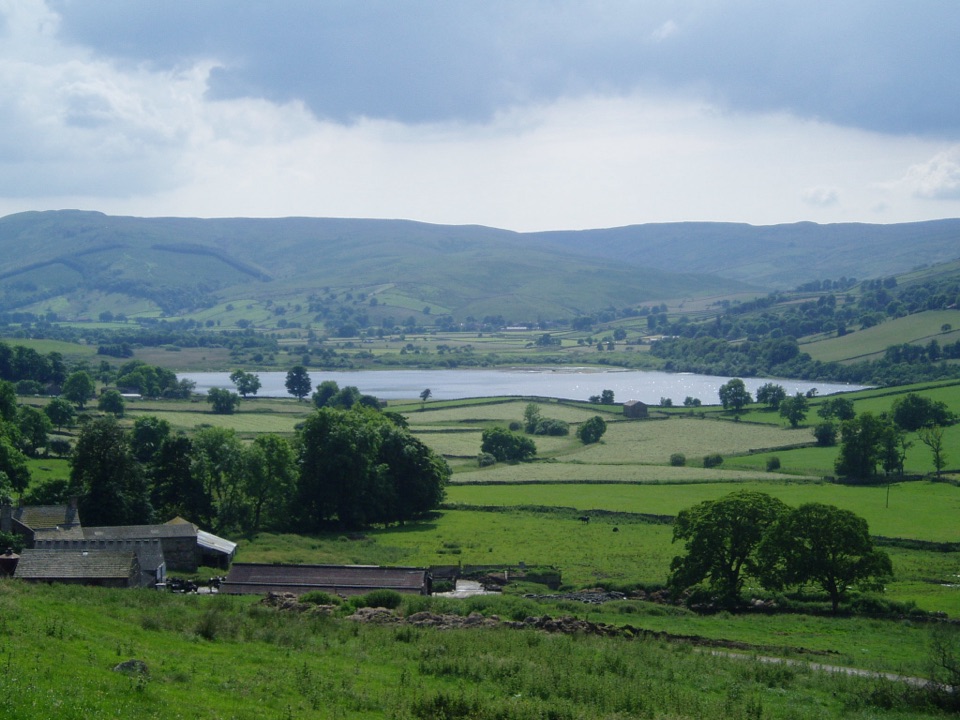 Sight · 5.1 km awaySemerwaterOne of only two natural lakes in the national park, glacier-made
Parkwolf’s Yorkshire Dales ranking

The audio tour guide for the drive, plus offline maps, trails, and wildlife heatmaps for when the signal drops.





