Parking
Use the Dales Countryside Museum car park in Hawes, at grid reference SD 875 899, as the signed start. The museum has parking and toilets.
Yorkshire Dales National Park, EN
Hunt 20 wall-set mosaics on a long Upper Wensleydale village loop
Overview
Map & elevation
Plan your hike

The highest, rockiest slopes around here are a summer buffet for grizzly bears.
Yorkshire Dales Tour Guide
Parkwolf is a GPS audio tour guide for Yorkshire Dales National Park. As you drive, it chimes in with what’s ahead: hidden gems, upcoming stops, history, geology, and wildlife, right through your car’s speakers.
Recorded for this trailhead
Hawes and the Dales Countryside Museum“You're coming into Hawes, a working Upper Wensleydale market town where shops and cafés sit beside a livestock auction mart.”
Plays as you drive up to this trailhead in the Parkwolf Yorkshire Dales Tour Guide.
More stories near here in the app
“Fantastic app with many points of information… It’s great to just turn on while you’re driving and it gives you an audio tour of the national Park. We love it!!!!”


Trail guide
A long day walk of 10.8 miles (17.4 km) in total, described officially as a circular. It begins at the Dales Countryside Museum in Hawes and finishes at St Margaret's Church a short distance away in the village, rather than closing exactly at the car park. Allow about 4.5 hours, or nearer 5 if you want time to track down all 20 mosaics.
From the museum the walk heads out along the A684 towards Bainbridge, then follows signed footpaths to Burtersett, and continues by fields and lanes into Gayle. It passes Aysgill Force, climbs towards Faw Head and Bands Lane, drops to Appersett close to the viaduct, then works through Hardraw and Simonstone to Sedbusk before returning over Bellow Hill into Hawes.
The draw is the set of 20 community mosaics built into dry-stone walls along the way, each contributing to a story of Upper Wensleydale. Between them you get waterfalls, beck scenery, field barns, small villages, the viaduct and open valley views.
Rated 5/10, moderate. Nothing technical, but it is a sustained rural outing with roughly 369 m of ascent and 342 m of descent spread across the day. Underfoot you will meet roads and quiet lanes, stone-flagged paths, grassy fields, gates, wall gaps and footbridges. Expect uneven ground and slippery surfaces after rain.
Start from the Dales Countryside Museum car park in Hawes, grid reference SD 875 899, at around 54.30441, -2.19281. The museum occupies the former Hawes railway station and has parking and toilets. No permit is needed for this public route.
Dogs are welcome on the public rights of way used by the walk. Keep them on a lead through fields with livestock and on rights of way, use a short lead from March to July for ground-nesting birds, and never come between cattle and calves.
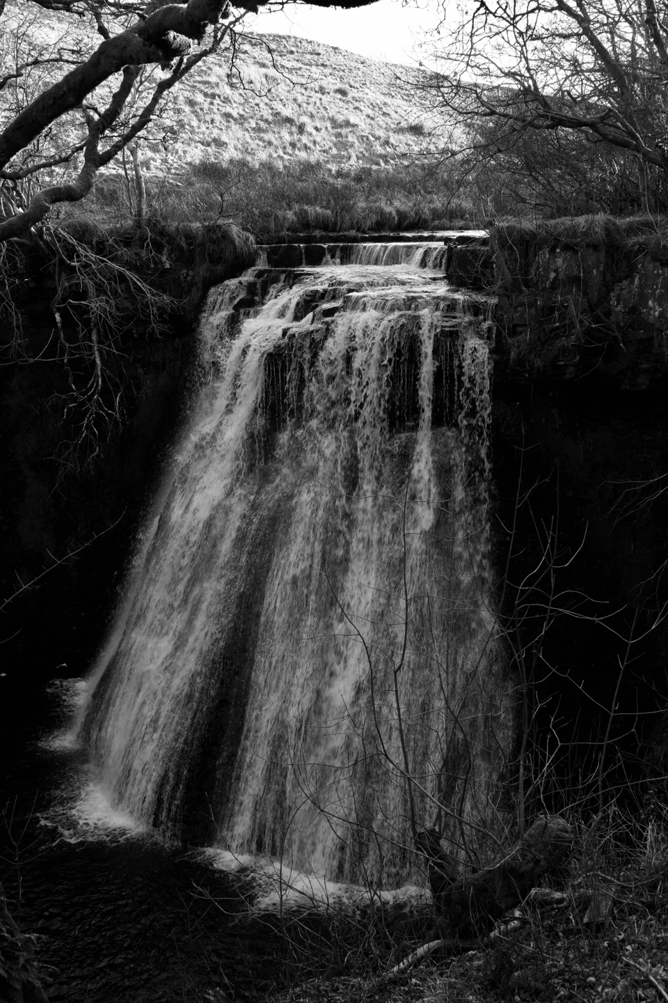
Cotter Force makes a much briefer, waterfall-focused outing nearby. Note that Hardraw Force is a separate paid attraction and is not part of this walk.
Wildlife
 10 sightingsEurasian OtterMost seen around 7 PMSighting map
 11 sightingsAtlantic SalmonMost seen around 7 AMSighting map
 12 sightingsShort-eared OwlMost seen around 7 PMSighting map
 22 sightingsWestern Barn OwlMost seen around 6 AMSighting map
 27 sightingsTawny OwlMost seen around 7 PMSighting map
 34 sightingsCommon KingfisherMost seen around 7 AMSighting map
Sighting maps show where each species has been reported across Yorkshire Dales. Wildlife moves, so no sighting is guaranteed.
Keep exploring
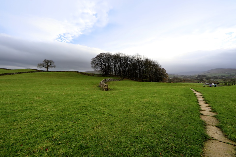 ModerateHawes to Sedbusk Circular5.6 km · 1.8 hr · At the trailheadHay meadows, field barns and a packhorse bridge on a short loopModerateHawes and Aysgill Force6.4 km · 2.5 hr · At the trailheadCobbled lanes and steep steps to a gorge waterfall above Gayle
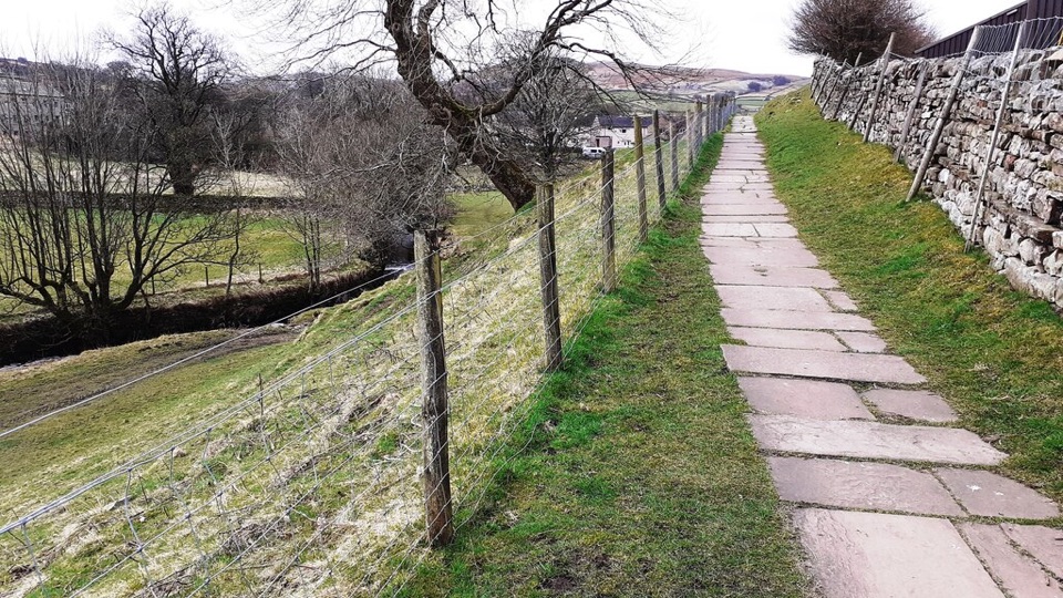 EasyHawes Accessible Walk1.5 km · 45 min · At the trailheadCobbled climb, then stone flags along Gayle Beck toward pasture views
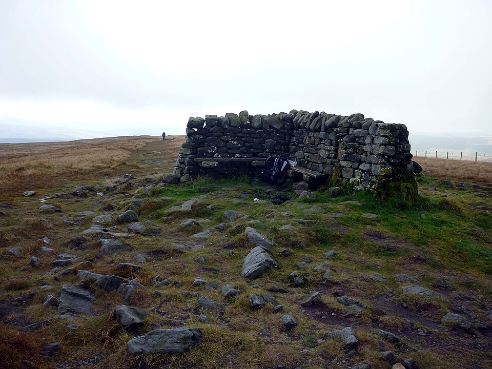 ModerateGreat Shunner Fell14.8 km · 5.7 hr · 1.6 km awaySteady Pennine Way climb from Hardraw to an exposed summit shelter
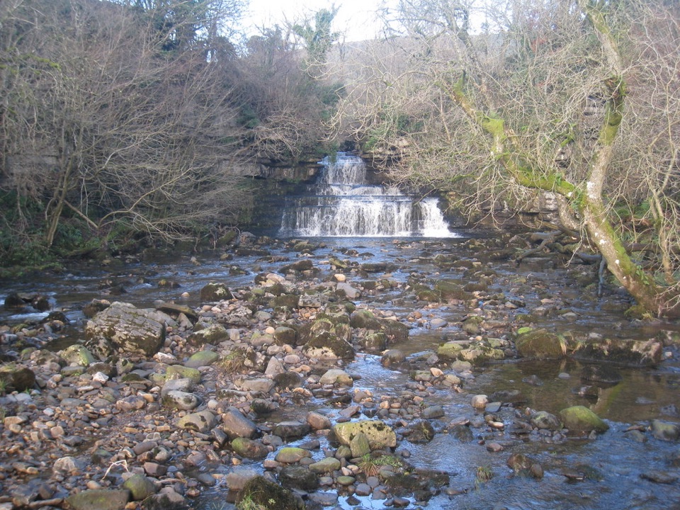 EasyCotter Force Accessible Walk1 km · 30 min · 3 km awayHalf a mile of graded gravel to six gentle waterfall cascades
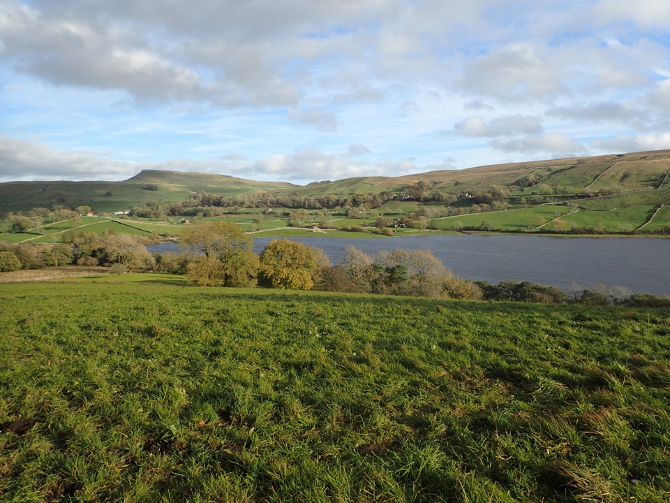 ModerateSemerwater and Raydale Circular11.8 km · 4.5 hr · 5.2 km awayLakeside nature reserve first, then a steep climb to high views
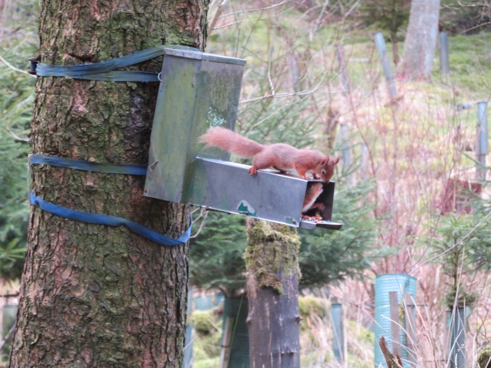 ModerateSnaizeholme Red Squirrel Trail4 km · 2 hr · 5.3 km awaySteep, muddy and worth it for a chance of red squirrels
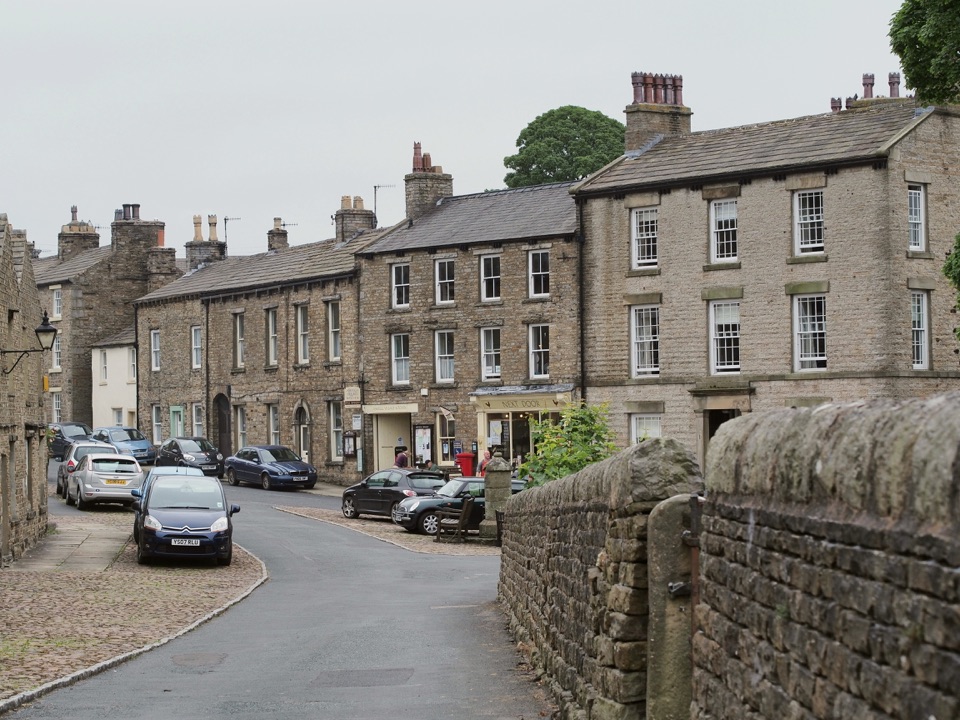 ModerateBainbridge Audio Trail7.2 km · 1.8 hr · 5.7 km awayMills, village greens and old railway on a 4.5-mile audio loop
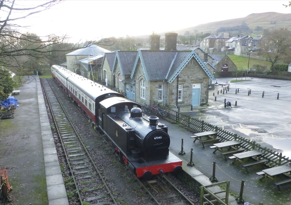 Sight · At the trailheadDales Countryside Museum & Hawes National Park CentreA Victorian station turned museum of Dales life, farming and railways
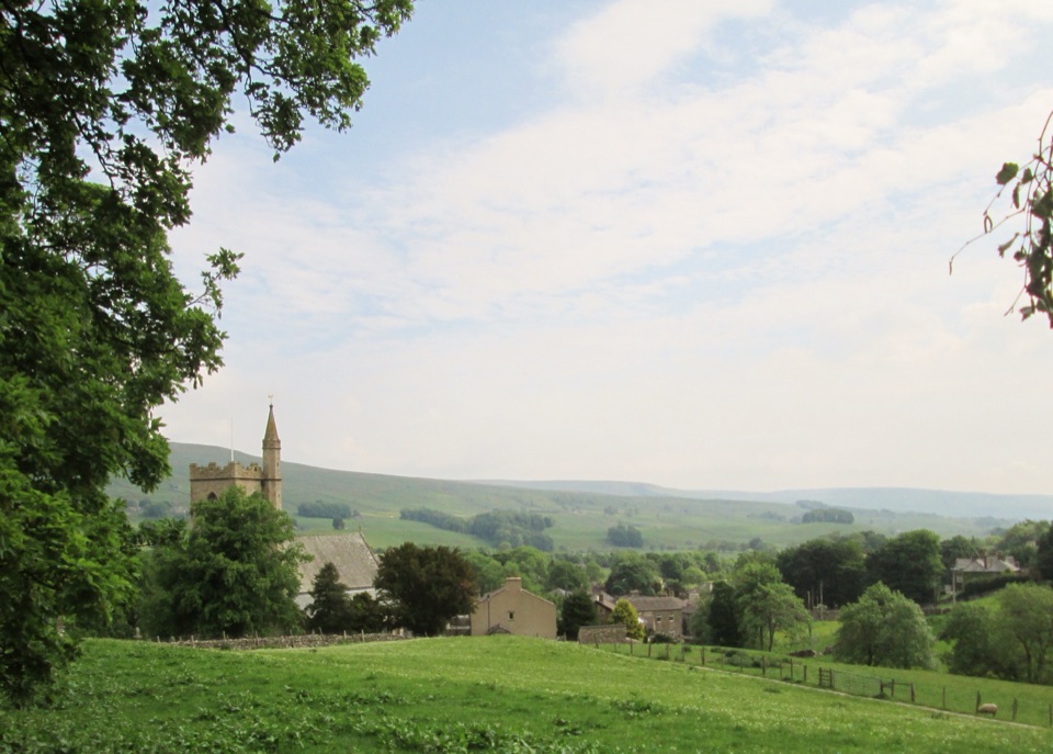 Sight · 0.2 km awayHawesHawes: working Wensleydale market town, cheese and walkers' crossroads
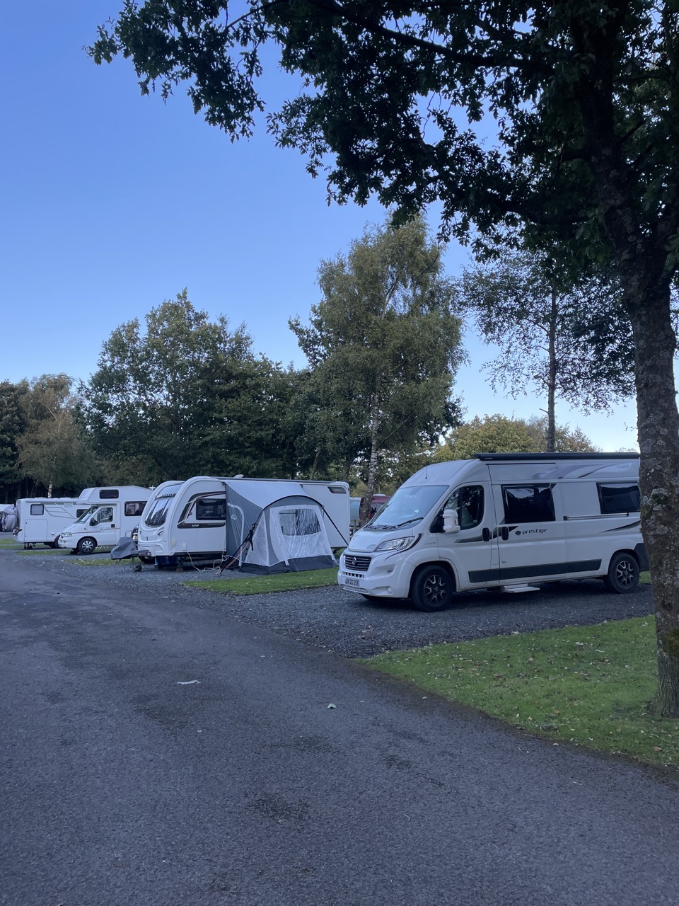 Campground · 0.5 km awayHawes Caravan and Motorhome Club CampsiteMembers-only touring base a ten-minute walk from Hawes market town
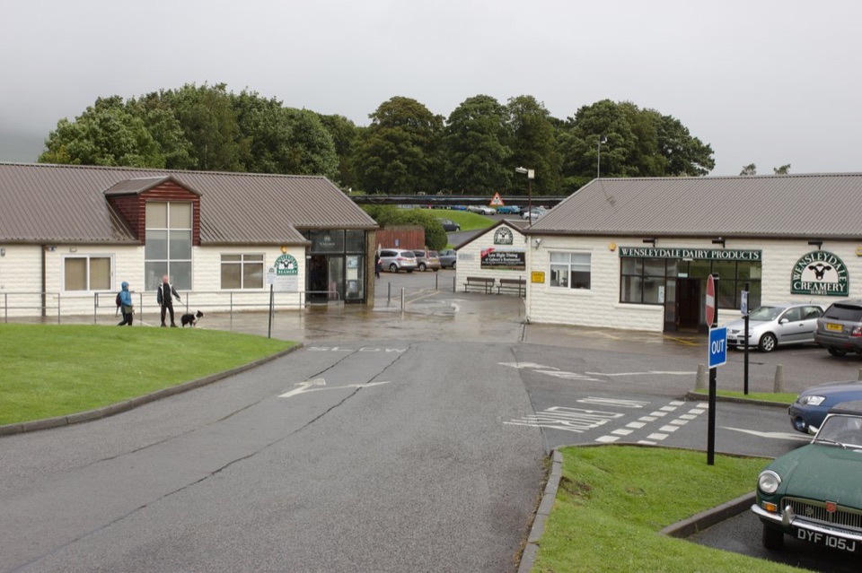 Sight · 0.6 km awayWensleydale Creamery Visitor CentreWatch Wensleydale cheese made by hand, then taste the full range
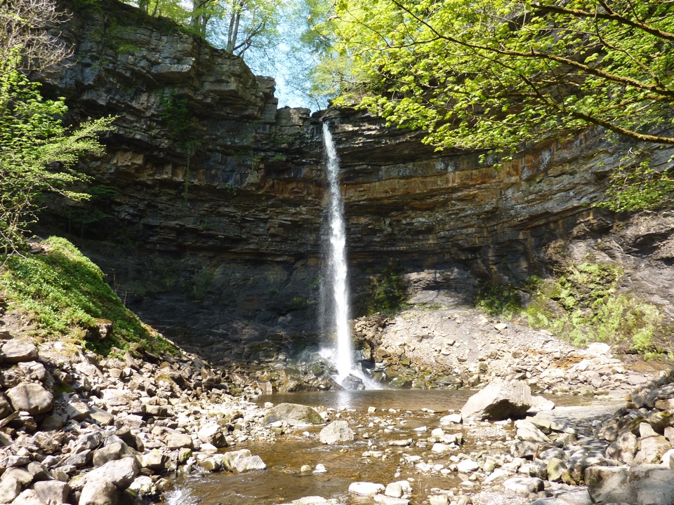 Sight · 1.8 km awayHardraw ForceEngland's highest single-drop waterfall, a ten-minute walk from the gateSight · 3.4 km awayCotter ForceA stile-free woodland stroll to six gentle cascades on Cotterdale Beck
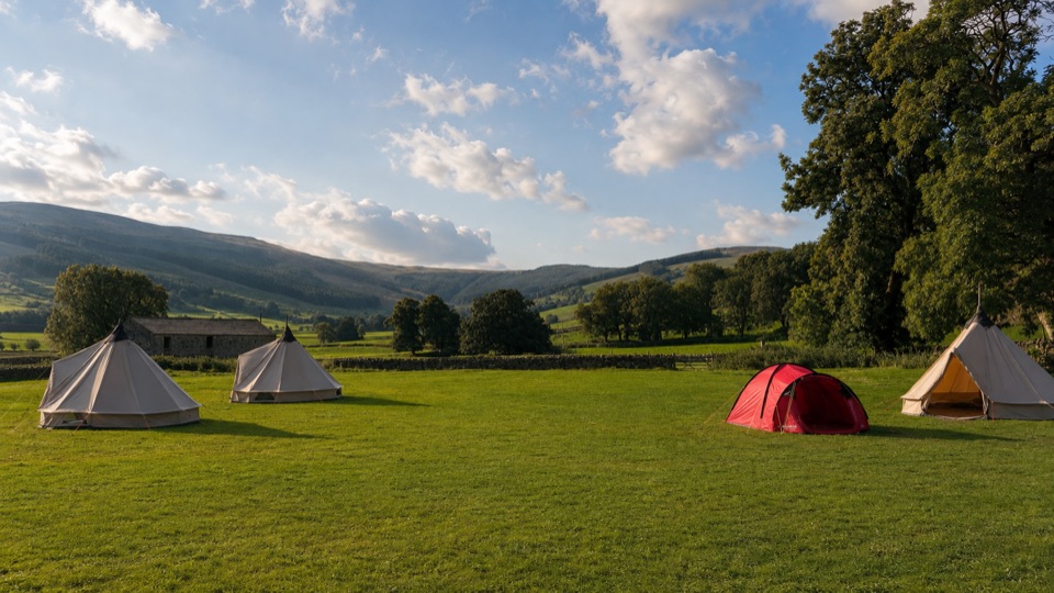 Campground · 4.7 km awayStablefell Holidays and CampsiteTent-only meadow pitches with firepits, no signal, walk to Semerwater
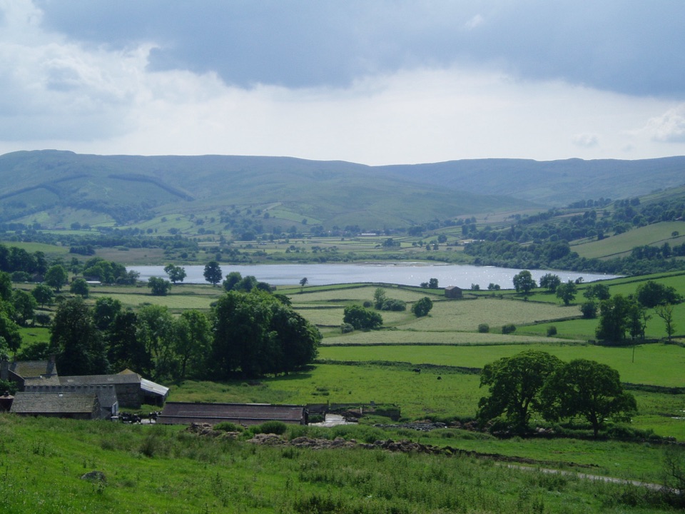 Sight · 5.1 km awaySemerwaterOne of only two natural lakes in the national park, glacier-made
Parkwolf’s Yorkshire Dales ranking

The audio tour guide for the drive, plus offline maps, trails, and wildlife heatmaps for when the signal drops.





