Snaizeholme Red Squirrel Trail in Yorkshire Dales National Park

Yorkshire Dales National Park, EN

Snaizeholme Red Squirrel Trail

Steep, muddy and worth it for a chance of red squirrels

Photo: Wikimedia Commons
Length
4km
Time
2hr
Elev. change
63m
Difficulty
Moderate
  • Loop
  • Dogs allowed
  • High point 358 m
  • #22 of 99 in Yorkshire Dales

Hear the audio tour

Snaizeholme Red Squirrel Trail

Overview

About Snaizeholme Red Squirrel Trail

Why go

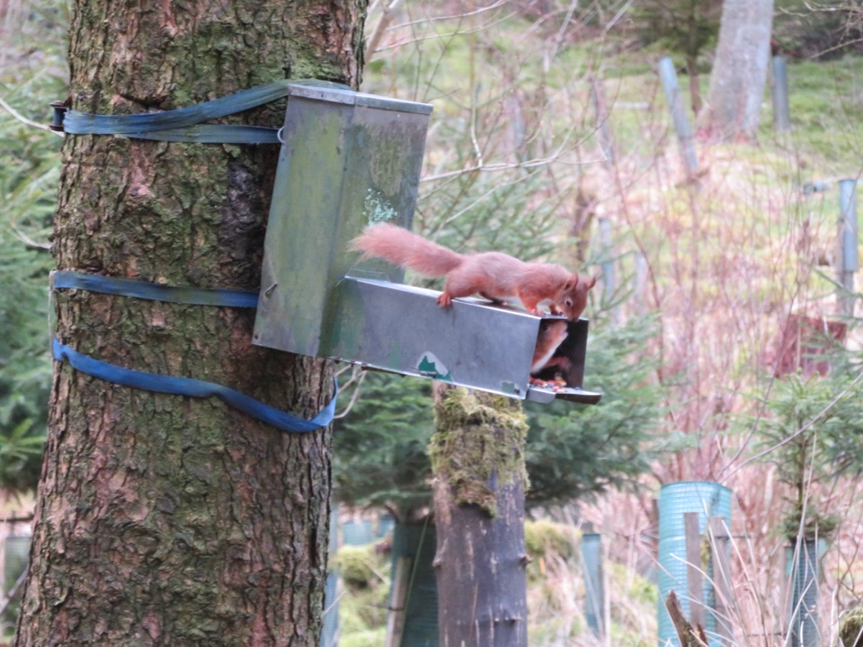
  • Excellent chance of seeing red squirrels at the feeder
  • Quiet woodland and open-valley sections

Heads up

  • Muddy, uneven ground and steep steps
  • Limited parking and advance transport booking

Map & elevation

The route

Loading the Yorkshire Dales map
Full map
Elevation295–358 m
TrailheadSnaizeholme Red Squirrel Trail bus drop-off54.28315, -2.26623
Keep this map with you offline in the Parkwolf app

Plan your hike

Before you go

Parking

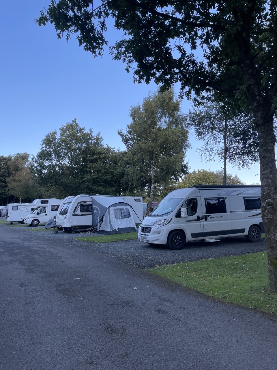
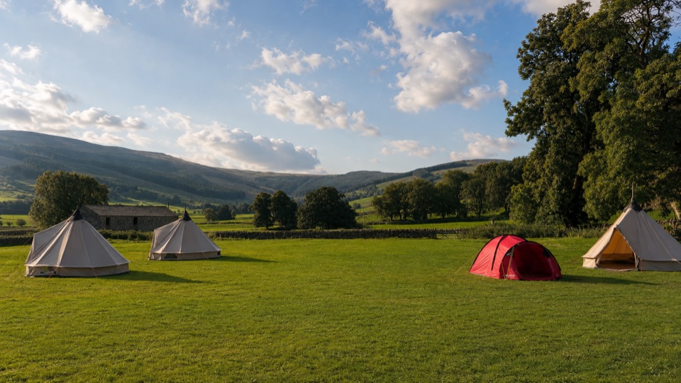
The official route starts at the Little White Bus drop-off and follows the approach to Mirk Pot House. Most visitors use the pre-booked bus from the Dales Countryside Museum. Two private spaces at Mirk Pot Farm can be reserved in advance through the Hawes National Park Centre.


Best time to go

Quieter parts of the day suit this walk best, since the whole thing hinges on sitting still and staying unobtrusive. Drier spells make the muddy sections much more pleasant. Be clear with yourself about what this is: a short, niche wildlife walk with a specific payoff, not a big open fell day. If you want long ridges and summit views, pick a different Dales route and come here another time.

Safety

Steep steps and an initial descent, uneven paths that can become very muddy, and a steep return climb to the single-track road. Keep dogs under close control around livestock and leave them behind if red-squirrel sightings are the priority; do not feed the squirrels.

1 active Yorkshire Dales alert

  • ClosureTemporary closures on public rights of wayAvoid the listed sections of public rights of way while their temporary closures or pedestrian prohibition are in force. - Public Bridleway No. 52 (05.Official details
Yorkshire Dales alerts
A park ranger sits on a dash-mounted phone, talking, as Parkwolf’s Tour Guide plays “Army Cutworm Moths: A Grizzly Bear Buffet” on Grand Loop Road below Dunraven Pass in Yellowstone
Parkwolf Tour GuideThe highest, rockiest slopes around here are a summer buffet for grizzly bears.

Yorkshire Dales Tour Guide

Your drive to Snaizeholme Red Squirrel Trail, narrated.

Parkwolf is a GPS audio tour guide for Yorkshire Dales National Park. As you drive, it chimes in with what’s ahead: hidden gems, upcoming stops, history, geology, and wildlife, right through your car’s speakers.

Recorded for this trailhead

Snaizeholme Red Squirrel Trail
0:00 / 0:24
“You're nearing access for the Snaizeholme Red Squirrel Trail, a woodland walk with a real chance of seeing red squirrels.”

Plays as you drive up to this trailhead in the Parkwolf Yorkshire Dales Tour Guide.

More stories near here in the app

  • What Holds a Wall Together
  • The Slow Work of a Bog
  • The Road Over Fleet Moss
  • Two Thousand Years on Cam High Road
  • 298 audio storiesacross Yorkshire Dales’s roads, triggered by GPS as you drive
  • Wildlife heatmapsfor Eurasian Otter, Atlantic Salmon, Short-eared Owl, and 13 more
  • Works offlinemaps, 99 trails, 63 places, and audio download before you lose signal
  • CarPlay readysimple controls built for the drive
★★★★★
“Fantastic app with many points of information… It’s great to just turn on while you’re driving and it gives you an audio tour of the national Park. We love it!!!!”
JMJamesApp Store review
Download Parkwolf on the App StoreGet Parkwolf on Google Play

4.7 from 8,600+ ratings

Trail guide

Hiking Snaizeholme Red Squirrel Trail

The short versionA circular walk of about 2.

A circular walk of about 2.5 miles (4 km) with a shared approach at each end, starting from the bus drop-off in Snaizeholme. Allow around 1.5 hours of walking, or closer to 2 hours if you settle in at the viewing area, which is rather the point of coming.

How the route goesFrom the drop-off, follow the approach track to Mirk Pot House.
  • From the drop-off, follow the approach track to Mirk Pot House.
  • Steep steps drop you into the conifer woodland.
  • An uneven path runs along the woodland edge to the red squirrel viewing area.
  • More woodland and an open field lead down to Stone Gill Foot.
  • A steep track climbs up to the single-track road.
  • Turn back along the quiet road and retrace the shared approach to the start.
Footing and effortCall it moderate-easy on distance and rather less gentle underfoot.

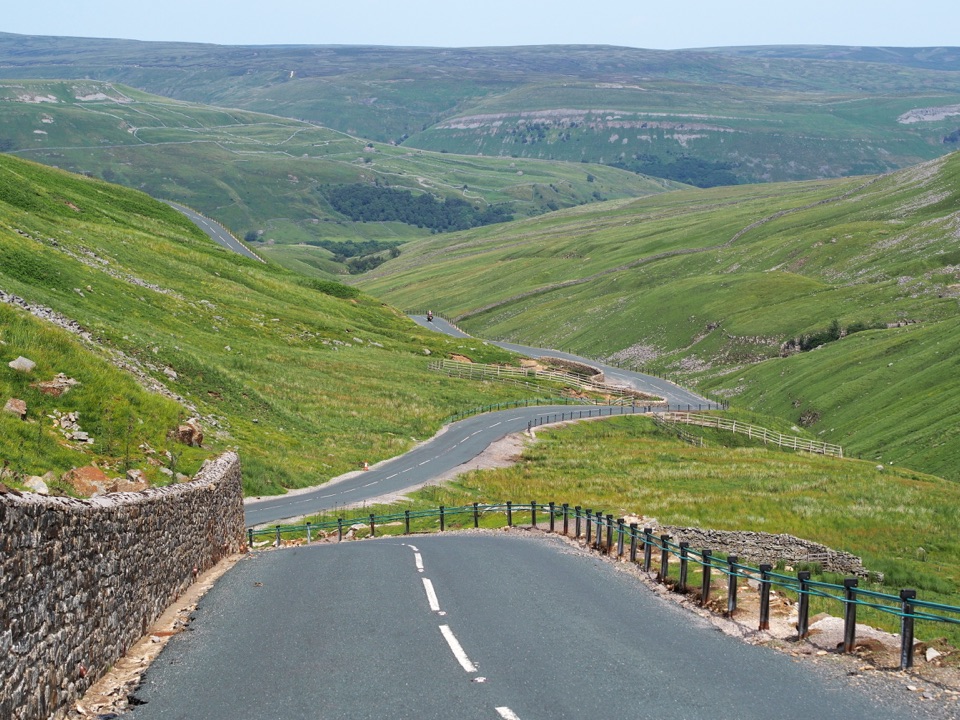
Call it moderate-easy on distance and rather less gentle underfoot. The ground is rough and uneven in places, there are steps and steep gradients at both the start and the return climb, and sections can get very muddy. Boots with grip, and expect to work a bit on the way back up. The final stretch is on a quiet single-track road, so keep an eye and an ear out for the occasional vehicle.

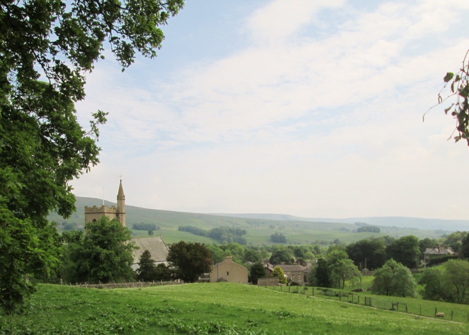
Scenery and wildlifeConifer woodland, woodland-edge paths and open views across the valley.

Conifer woodland, woodland-edge paths and open views across the valley. The feeder and viewing area is where the red squirrels come, and roe deer and woodland birds including siskin, lesser redpoll and common crossbill are all possible here. No walk can promise you a squirrel, but arriving quietly and being willing to wait genuinely improves your odds.

Viewing etiquetteDo not feed the squirrels. They are fed at the site already.
  • Do not feed the squirrels. They are fed at the site already.
  • Approach the viewing area quietly and keep still once you are there.
  • Dogs can put the squirrels off, so this is a walk worth doing without one if you have the choice.
  • If you do bring a dog, keep it under close control, on a short lead around livestock, and on a short lead from March to July for ground-nesting birds.
Getting thereThe Little White Bus runs out from the Dales Countryside Museum to the trail start and should…

The Little White Bus runs out from the Dales Countryside Museum to the trail start and should be booked in advance. Alternatively, the landowner keeps two bookable parking spaces at Mirk Pot Farm, arranged through the Hawes National Park Centre. Either way, sort it before you set off rather than turning up and hoping.

Wildlife

Wildlife in Yorkshire Dales

All Yorkshire Dales wildlife maps

Sighting maps show where each species has been reported across Yorkshire Dales. Wildlife moves, so no sighting is guaranteed.

Keep exploring

Near Snaizeholme Red Squirrel Trail

See it all on the map

Trails that start nearby

Places near the trailhead

Parkwolf’s Yorkshire Dales ranking

Top-rated trails in Yorkshire Dales

All 99 trails
  1. 1Yorkshire Three Peaks CircularChallenging · 38.6 km
  2. 2Malham Landscape TrailModerate · 7.2 km
  3. 3Ingleton Waterfalls TrailModerate · 6.9 km
  4. 4Pen-y-ghent CircularModerate · 9.7 km
  5. 5Ingleborough from ClaphamChallenging · 16.1 km
  6. 6Whernside CircularChallenging · 12.6 km

Take Parkwolf to Yorkshire Dales.

The audio tour guide for the drive, plus offline maps, trails, and wildlife heatmaps for when the signal drops.

4.7 from 8,600+ ratings

Download Parkwolf on the App StoreGet Parkwolf on Google Play