Parking
Limited roadside verge parking at the Killington New Bridge site entrance on the B6256 near Sedbergh. The nearest public toilets are in Sedbergh.
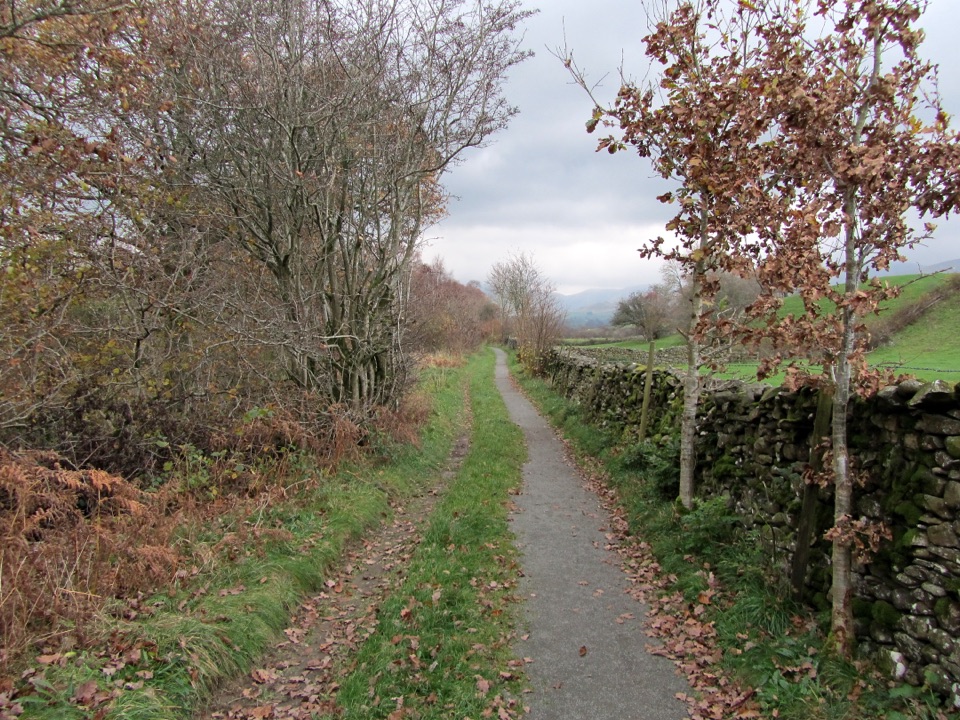
Yorkshire Dales National Park, EN
Smooth, level path beside the River Lune to a riverside viewing platform
Overview
Map & elevation
Plan your hike

The highest, rockiest slopes around here are a summer buffet for grizzly bears.
Yorkshire Dales Tour Guide
Parkwolf is a GPS audio tour guide for Yorkshire Dales National Park. As you drive, it chimes in with what’s ahead: hidden gems, upcoming stops, history, geology, and wildlife, right through your car’s speakers.
Recorded for this area
A River Break Without a Climb“If you want a short riverside break without a fell climb, Killington New Bridge is a good choice. A firm, level path follows the River Lune through a narrow nature reserve to a viewing platform, with benches on the way.”
Plays on the road 0.9 km from the trailhead in the Parkwolf Yorkshire Dales Tour Guide.
More stories near here in the app
“Fantastic app with many points of information… It’s great to just turn on while you’re driving and it gives you an audio tour of the national Park. We love it!!!!”


Trail guide
This is a short out-and-back Miles Without Stiles walk: 575 m each way from Killington New Bridge to the far end of the path, about 1.15 km / 0.7 miles in total. Be clear with yourself before setting off that it is a brief linear stroll rather than a day's walk, and that its value is in easy access to a good stretch of river.
From the gate at the bridge the path runs beside the River Lune through a narrow strip of woodland, grassland, scrub and hedge. Benches, a picnic table and a viewing platform look out over the water, which is the main reason to come. Near the far end there are glimpses of the Howgills, then you turn and retrace the same corridor back to the start.
Access is from the roadside verge and gate at Killington New Bridge, near Sedbergh. Verge parking is limited, so park considerately. The nearest public toilets are in Sedbergh.
The walking itself is level, but the woodland bank is steep and there are drops at the river edge and the viewing platform. Keep children and dogs close at the platform and anywhere the bank falls away to the river. Dogs are allowed on this public right of way and should be on a lead and under close control, with extra care around livestock, wildlife and water.
Salmon occur in the Lune, and otters and badgers are likely to use the wood, though sightings of either are a matter of luck. Woodland birds you may hear or see include robin, blue tit, treecreeper, wren, great spotted woodpecker, nuthatch and long-tailed tit, with heron and dipper on the river itself.
The benches and the viewing platform give you settled places to sit and shoot the river, and the walk back over the same ground gives a second look at the same views from the opposite direction.
The Dales Way is the nearby longer riverside option, with more distance and variety, while this walk is the short accessible choice.
Wildlife
 10 sightingsEurasian OtterMost seen around 7 PMSighting map
 11 sightingsAtlantic SalmonMost seen around 7 AMSighting map
 12 sightingsShort-eared OwlMost seen around 7 PMSighting map
 22 sightingsWestern Barn OwlMost seen around 6 AMSighting map
 27 sightingsTawny OwlMost seen around 7 PMSighting map
 34 sightingsCommon KingfisherMost seen around 7 AMSighting map
Sighting maps show where each species has been reported across Yorkshire Dales. Wildlife moves, so no sighting is guaranteed.
Keep exploring
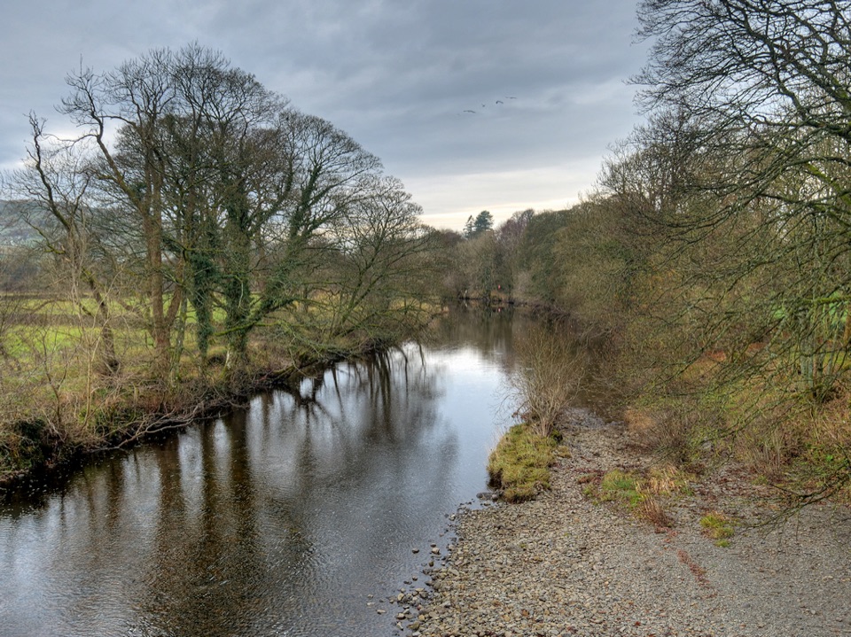 ModerateRiver Rawthey Accessible Walk2.5 km · 1.3 hr · 3.9 km awayTown pavements to a wooded riverbank, herons, dippers and picnic benches
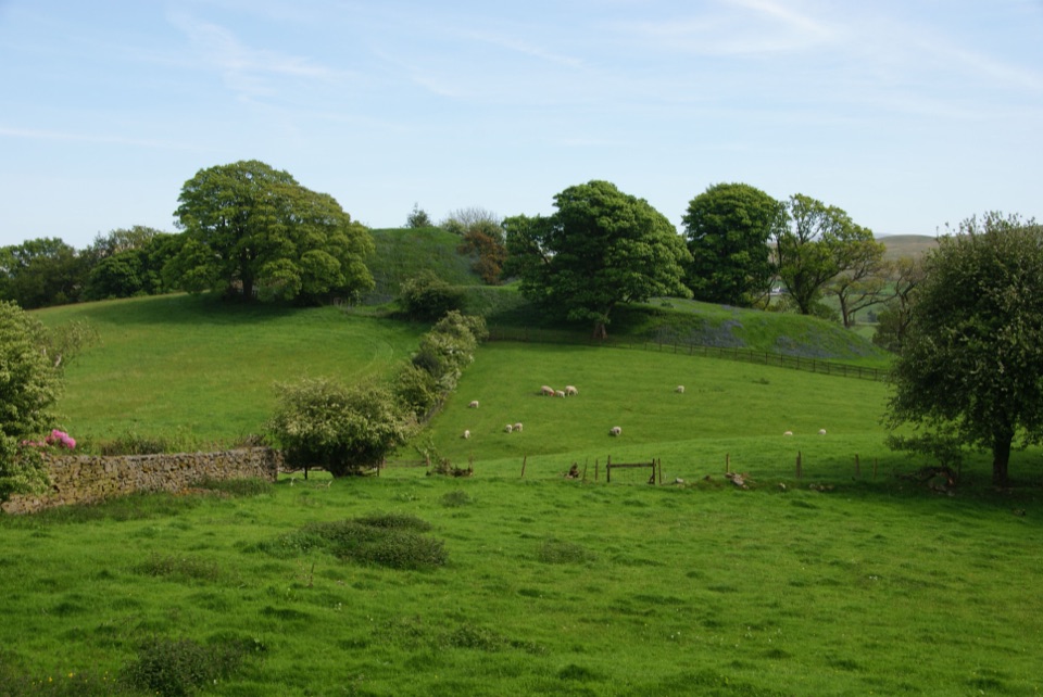 ModerateSedbergh to Stone Hall2.9 km · 1.3 hr · 3.9 km awayA compact field-and-lane loop from Sedbergh with castle mound views
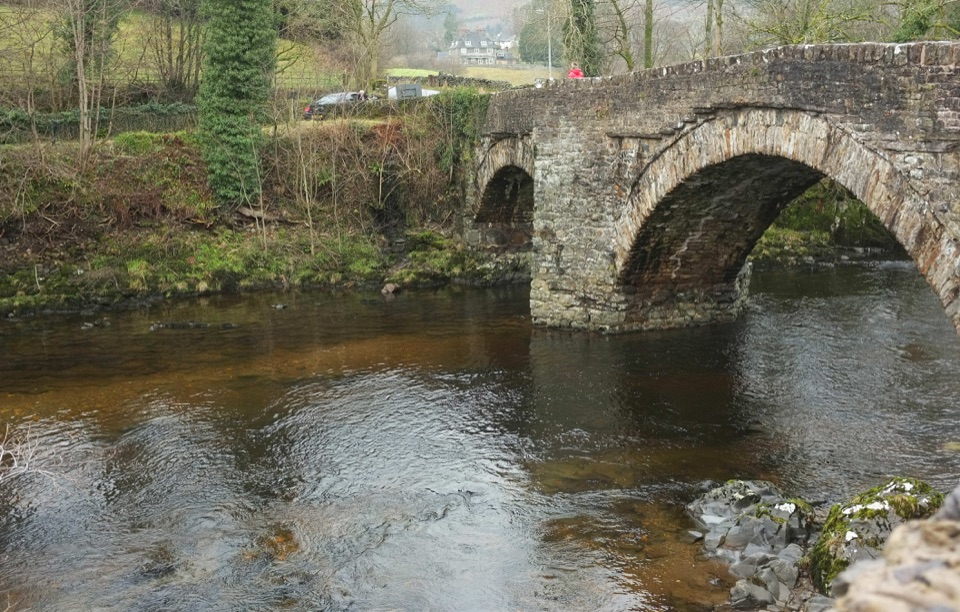 EasySedbergh and Millthrop4 km · 1.3 hr · 3.9 km awayRiverside loop to Millthrop Bridge, then field paths and Akay Wood
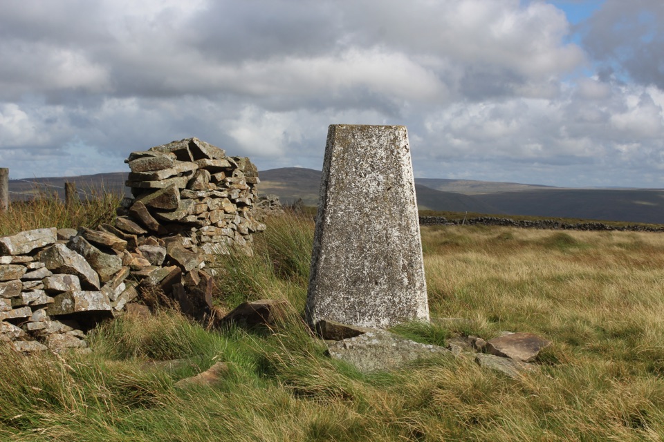 ModerateAye Gill Pike from Dent10.1 km · 3.5 hr · 8.9 km awayQuiet ridge climb above Dentdale to a trig point with big views
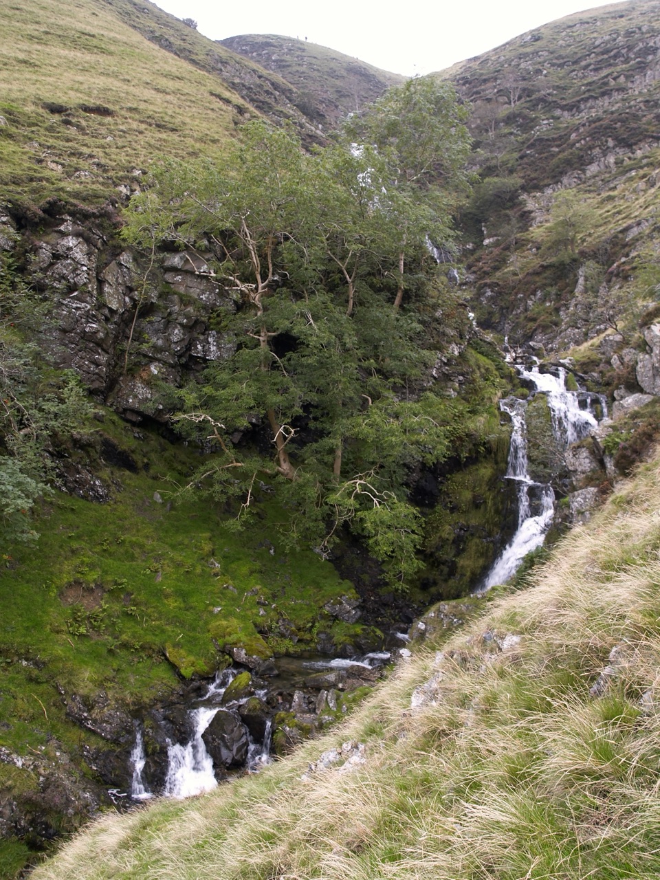 ChallengingCautley Spout and The Calf Circular8.4 km · 3.8 hr · 9.7 km awayClimb beside a spectacular waterfall to the Howgill Fells' highest summit
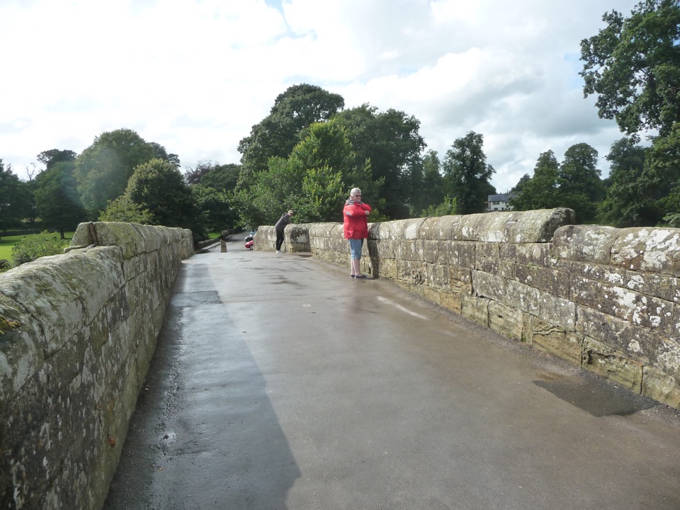 EasyDevil’s Bridge Wander2.4 km · 1 hr · 12.6 km awayThree arches, riverside paths, 86 steep steps to Ruskin's View
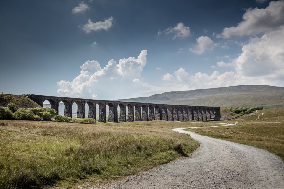 ModerateDent to Ribblehead Walk14.8 km · 5 hr · 14.5 km awayNine moorland miles between two railway stations, ending under the viaduct
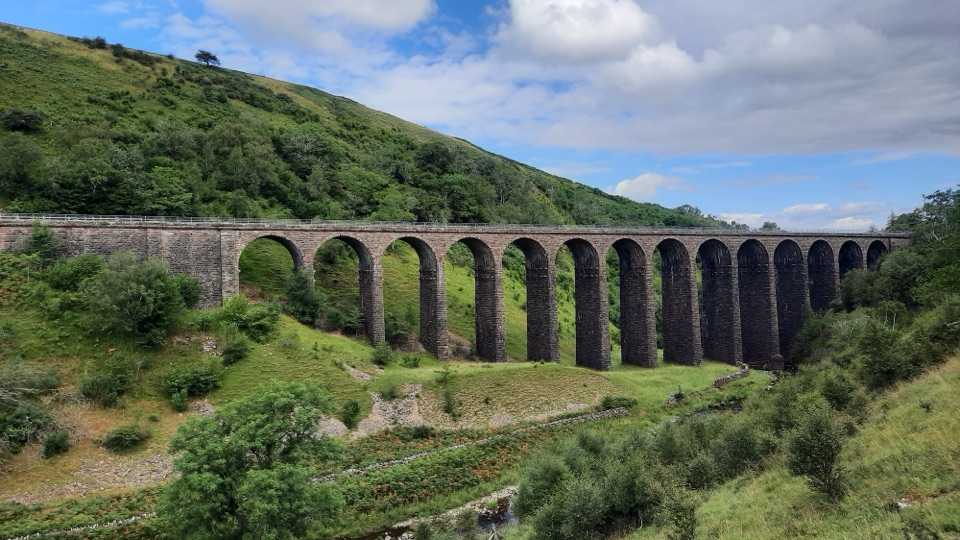 ModerateSmardale Gill Walk10.9 km · 4.5 hr · 16.6 km awayA 14-arch viaduct, beckside pasture and open fell in one figure-of-eight
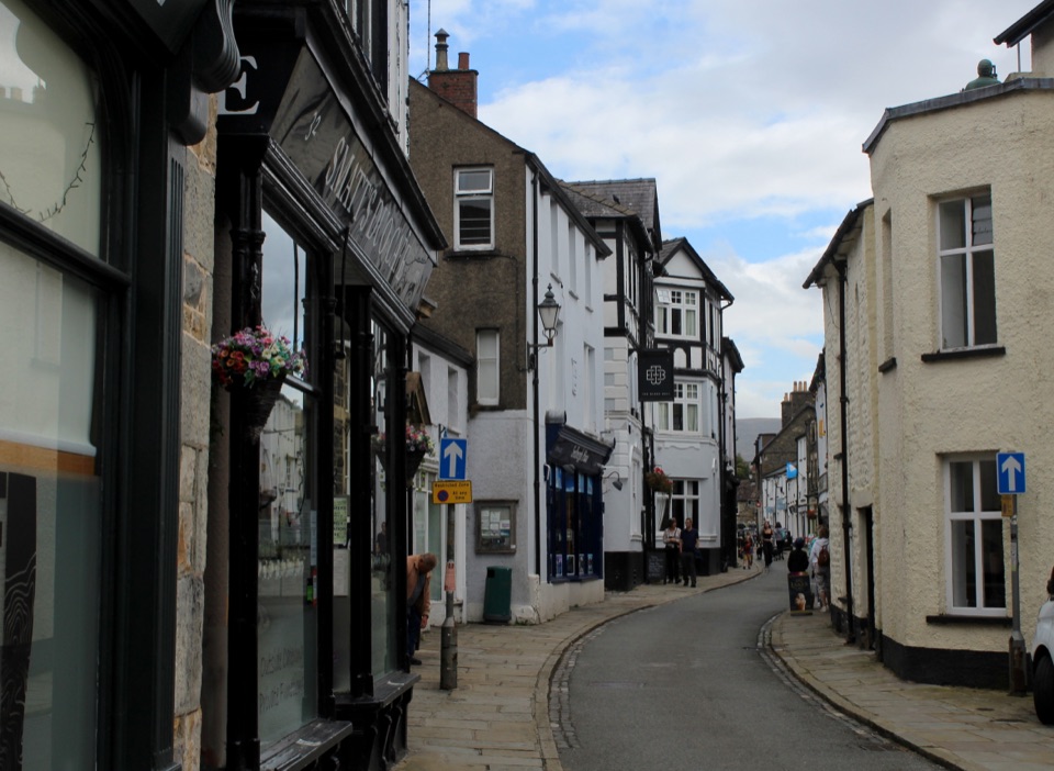 Sight · 3.7 km awaySedberghEngland's book town: stone streets with the Howgill Fells above
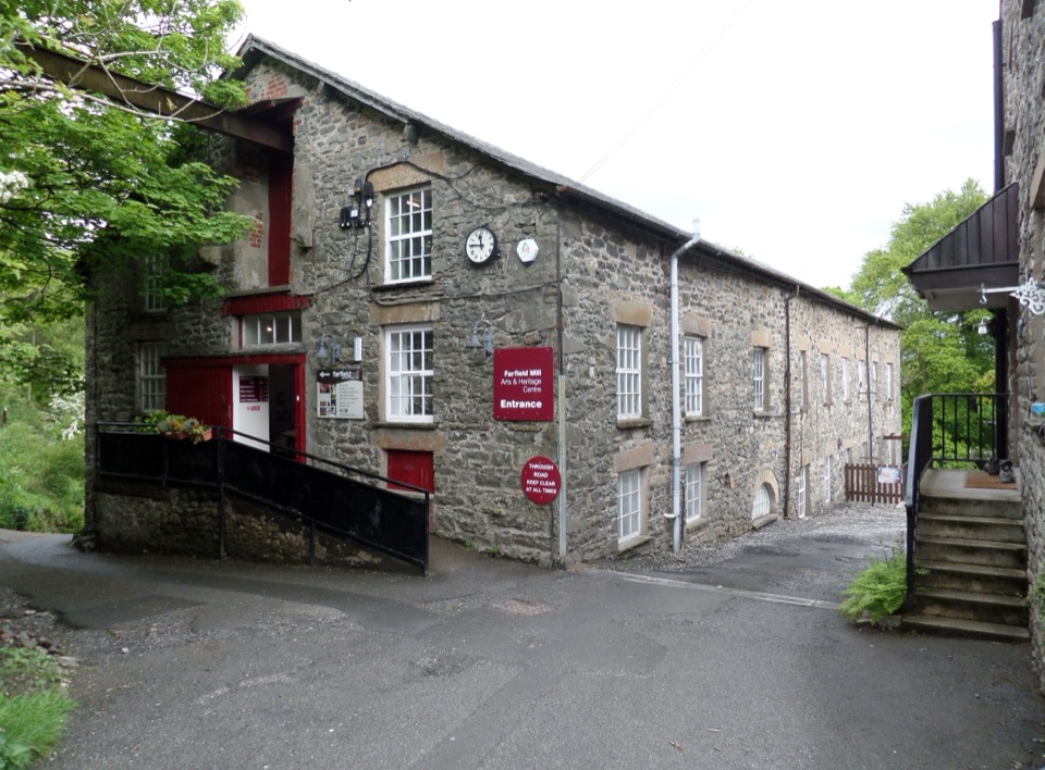 Sight · 5.6 km awayFarfield MillVictorian woollen mill now four floors of art, craft and looms
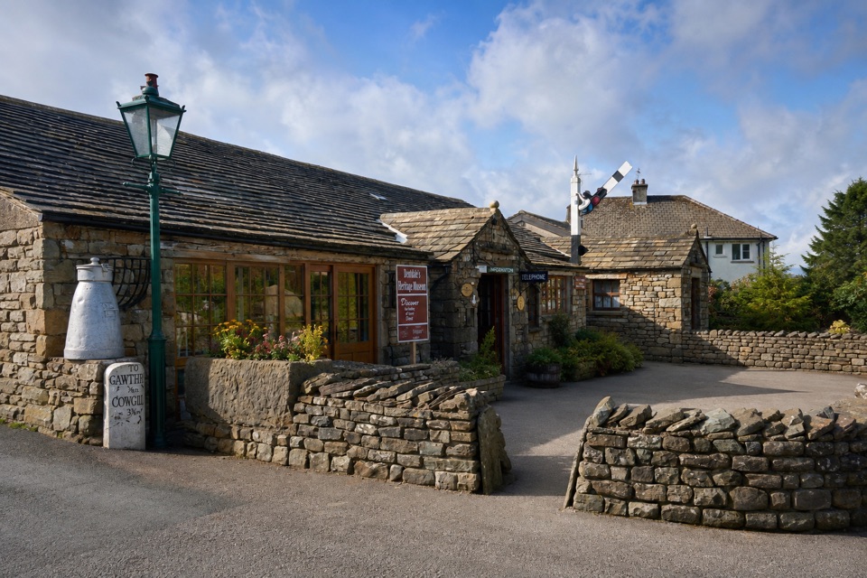 Sight · 8.8 km awayDent Village Heritage Centre & MuseumDales farm life, terrible knitters and a penny farthing indoors
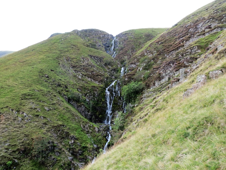 Sight · 8.9 km awayCautley SpoutCautley Spout, England's highest above-ground cascade, tumbles nearly 200m
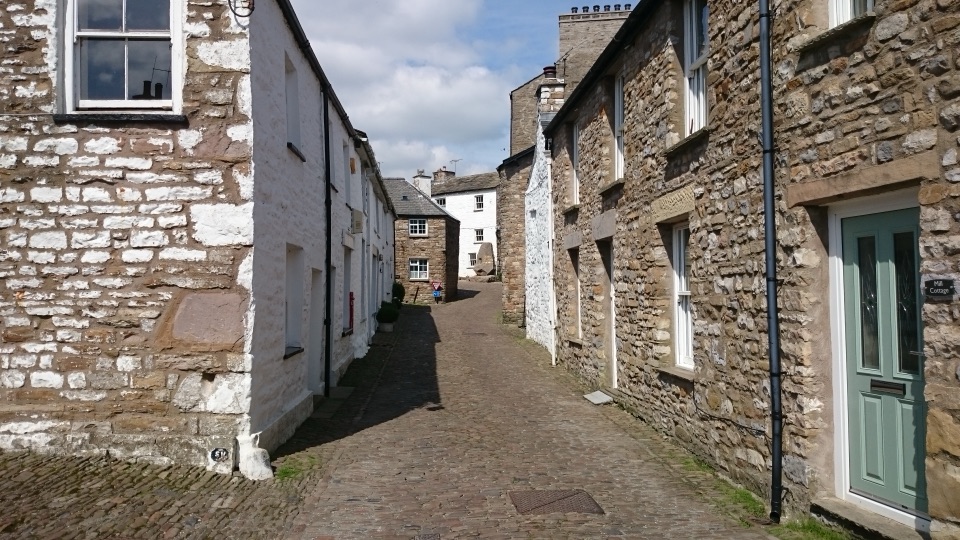 Sight · 9.1 km awayDentCobbled lanes, whitewashed cottages and Norman stonework deep in Dentdale
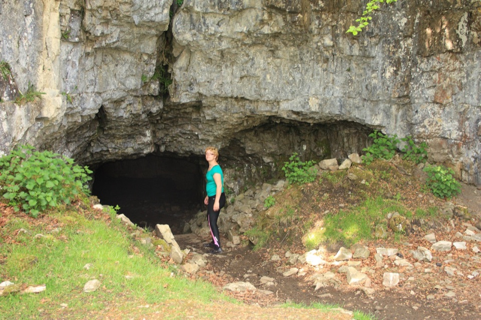 Sight · 14.3 km awayYordas CaveOld steps, a dark chamber and a hidden underground waterfall
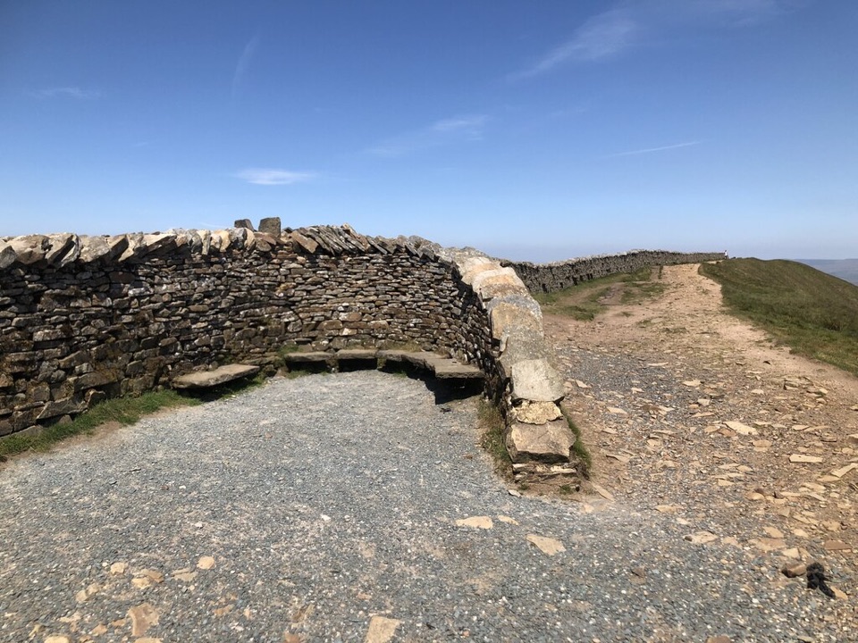 Sight · 14.9 km awayWhernside SummitWhernside Summit: 736 m of ridge walking above Ribblehead
Parkwolf’s Yorkshire Dales ranking

The audio tour guide for the drive, plus offline maps, trails, and wildlife heatmaps for when the signal drops.





