Parking
Limited roadside parking on Kelleth Lane near Newbiggin-on-Lune. Use the Newbiggin access for this circuit; Smardale Nature Reserve car park is a separate start for a shorter out-and-back.
Yorkshire Dales National Park, EN
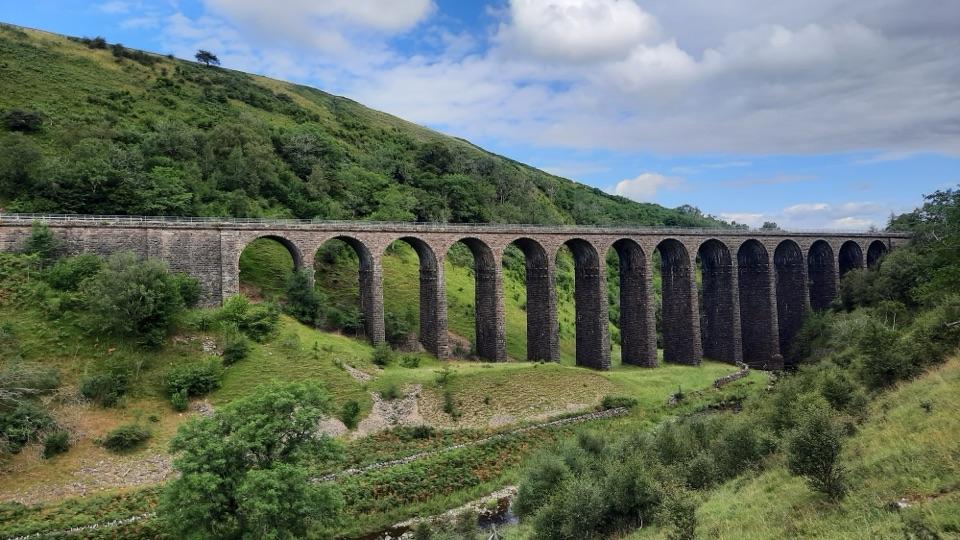
Cross a 14-arch viaduct, then loop back along the valley.
Photo: Clive Nicholson, CC BY-SA 2.0
Overview
Map & elevation
Plan your hike

The highest, rockiest slopes around here are a summer buffet for grizzly bears.
Yorkshire Dales Tour Guide
Parkwolf is a GPS audio tour guide for Yorkshire Dales National Park. As you drive, it chimes in with what’s ahead: hidden gems, upcoming stops, history, geology, and wildlife, right through your car’s speakers.
See the Yorkshire Dales audio tourRecorded for this area
The Black Tip That Gives It Away“On a Dales walk, a little brown hunter may cross the path in a series of high bounds. If you catch a glimpse, look for a long tail with a black tip: that’s a stoat.”
Plays on the road 1 km from the trailhead in the Parkwolf Yorkshire Dales Tour Guide.
More stories near here in the app
“Fantastic app with many points of information… It’s great to just turn on while you’re driving and it gives you an audio tour of the national Park. We love it!!!!”


Trail guide
Smardale Gill Viaduct Loop is a 4.5-mile (7 km) circuit from limited roadside parking on Kelleth Lane near Newbiggin-on-Lune. It follows the former Stainmore railway to the 14-arch viaduct, then returns by the valley-side path, Smardale Bridge and Friar’s Bottom Farm. Allow about 2½ hours; the published route gives a minimum of two. The railway is mostly gentle; expect gradients, rougher ground and stiles on the return.
From the roadside parking, walk back toward the main road and turn uphill on the minor road signed for Great Asby. After about 100 yards, take the entrance at Brownber Hall’s stone gateposts and follow the drive to the old railway and reserve. This is a different start from the Smardale reserve car park, which has its own shorter out-and-back to the viaduct.
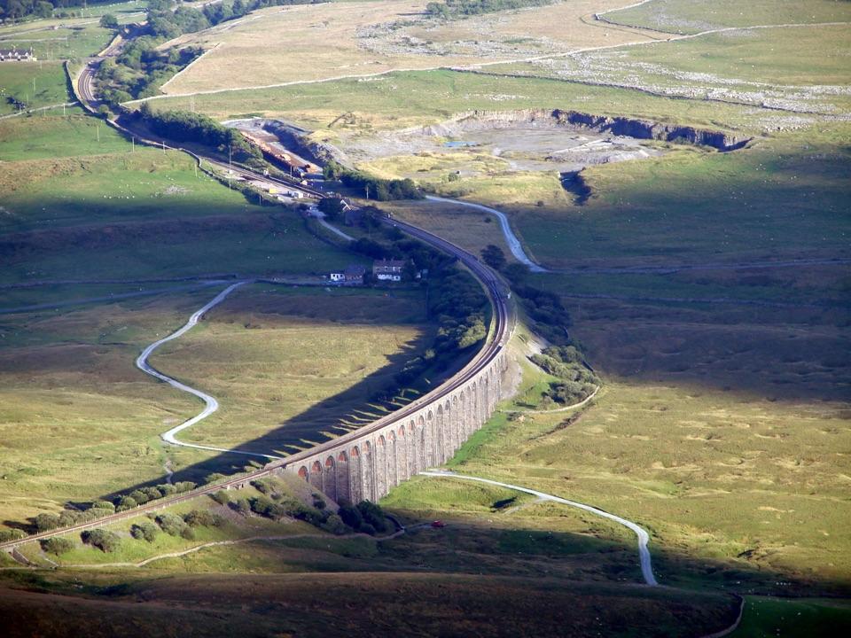
The approach follows the former railway through open countryside. Smardale Gill Viaduct has 14 arches and was completed in 1861 for the Stainmore Railway, which connected Bishop Auckland with Tebay. On the deck, look back along the arches into the gill; include the path or railings in a photo for scale.
For the loop, take the stile on your right immediately after crossing the viaduct. The valley-side path reaches a walled track that drops to a stream bridge; climb the far side to Friar’s Bottom Farm, then follow the bridleway over a small hill to rejoin the railway. Turn left on the railway to return to the start. The footing and grades vary more here than on the railway section.
The valley-side return is described as permissive. Its present access status was not confirmed; check before setting out. If it is unavailable, continue along the railway and retrace it for an out-and-back; the 4.5-mile loop distance no longer applies. Dogs are allowed on a lead in the reserve.
Wildlife
 10 sightingsEurasian OtterMost seen around 7 PMSighting map
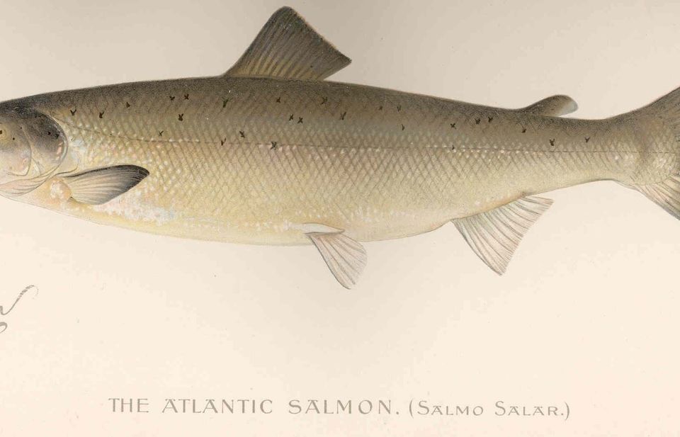 11 sightingsAtlantic SalmonMost seen around 7 AMSighting map
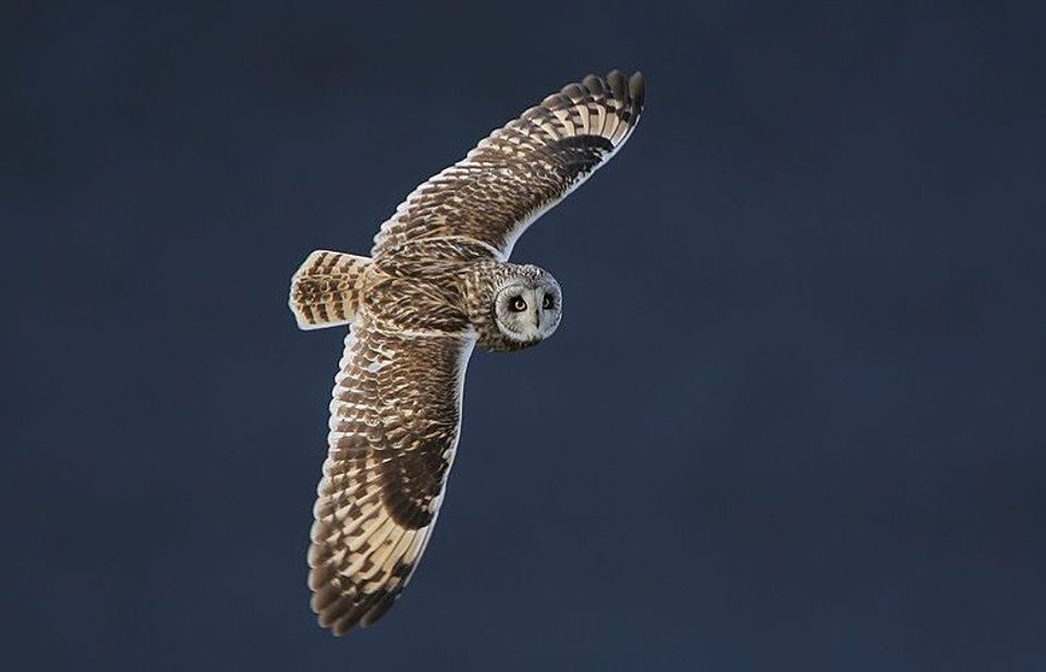 13 sightingsShort-eared OwlMost seen around 7 PMSighting map
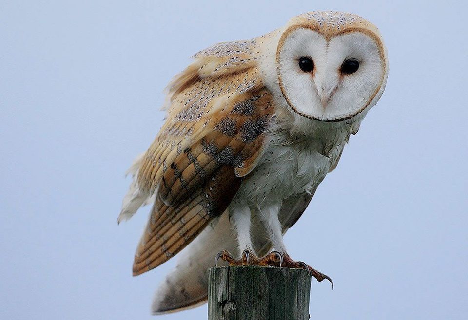 22 sightingsWestern Barn OwlMost seen around 6 AMSighting map
 27 sightingsTawny OwlMost seen around 7 PMSighting map
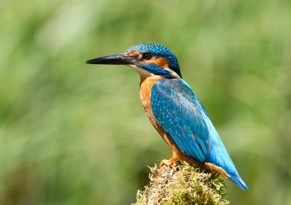 34 sightingsCommon KingfisherMost seen around 7 AMSighting map
Sighting maps show where each species has been reported across Yorkshire Dales. Wildlife moves, so no sighting is guaranteed.
Keep exploring
ModerateSmardale Gill Walk10.9 km · 4.5 hr · 2.3 km awayA 14-arch viaduct, beckside pasture and open fell in one figure-of-eight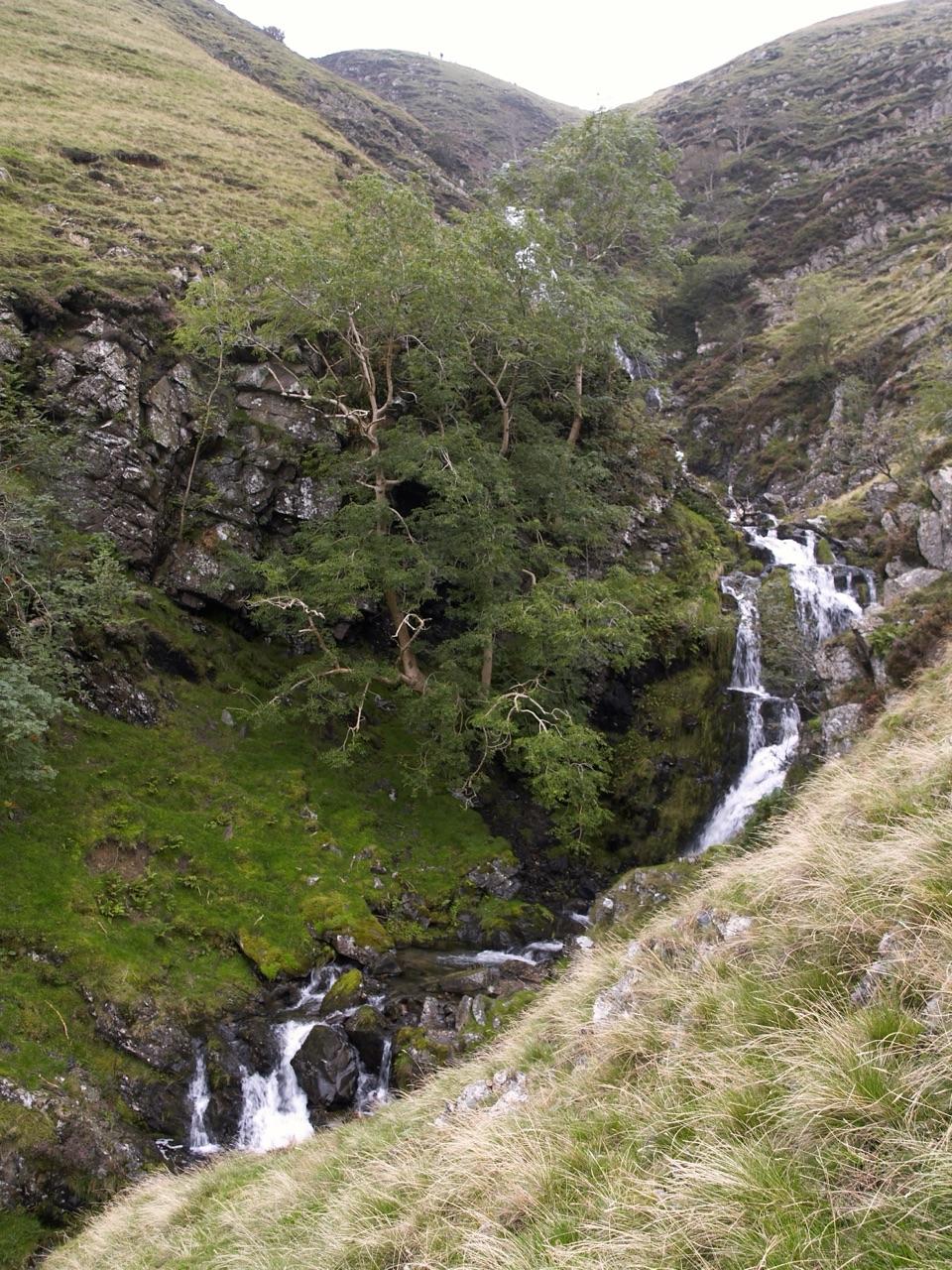 ChallengingCautley Spout and The Calf Circular8.9 km · 3.8 hr · 8.4 km awayClimb beside a spectacular waterfall to the Howgill Fells' highest summit
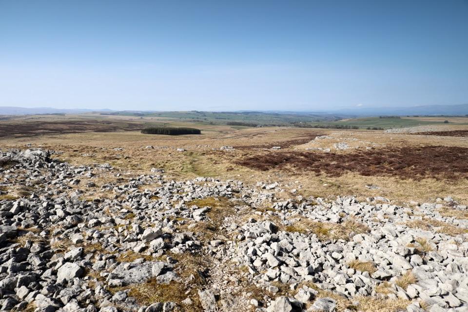 ModerateOrton Scar Walk7.7 km · 2.5 hr · 8.6 km awayA limestone scar, a hilltop beacon and a prehistoric stone circle
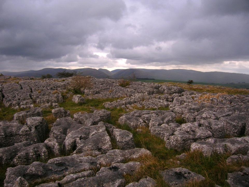 ModerateGreat Asby Scar Walk15.1 km · 5.5 hr · 8.9 km awayLimestone pavement, a Romano-British fort, and wide 412 m summit views
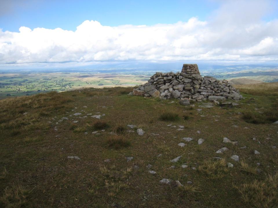 ChallengingWild Boar Fell16.1 km · 5 hr · 9.3 km awayAiry 708 m plateau above Mallerstang, hidden tarn, waterfall finish
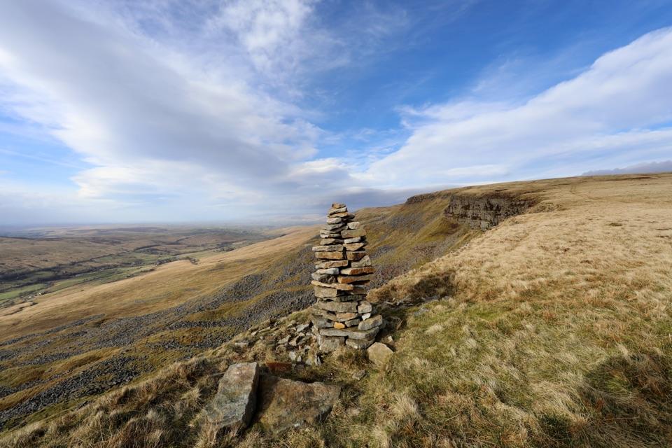 ModerateMallerstang Edge and High Seat Circular11.5 km · 4.5 hr · 11.1 km awayOpen-moor route near High Seat with a steep pathless descent
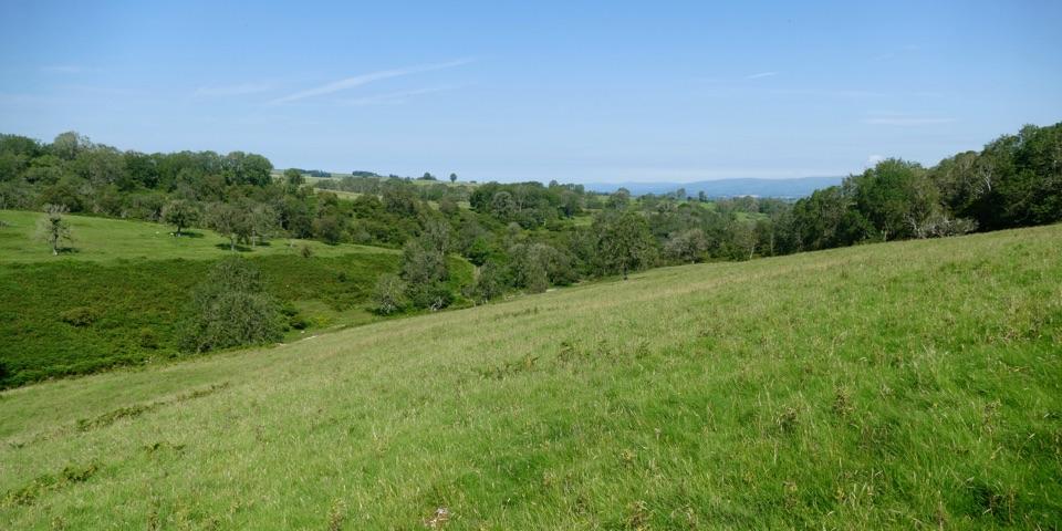 ModerateLyvennet Valley Walk9.7 km · 3.5 hr · 12.5 km awayLimestone valley, a deer park wall and an ancient settlement
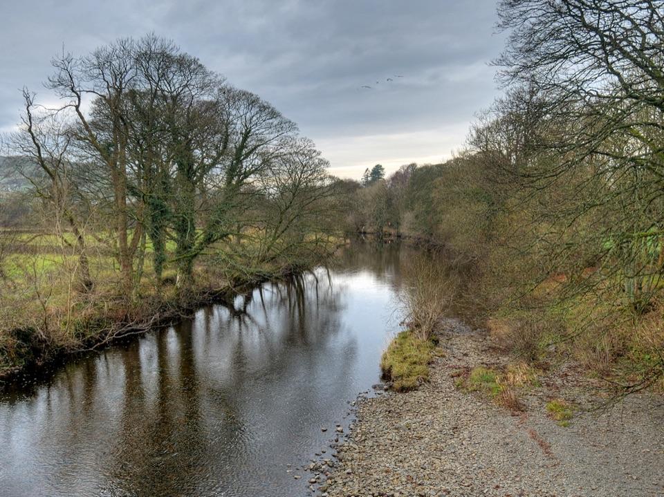 ModerateRiver Rawthey Accessible Walk2.5 km · 1.3 hr · 13.8 km awaySedbergh streets lead to a wooded riverbank and picnic benches
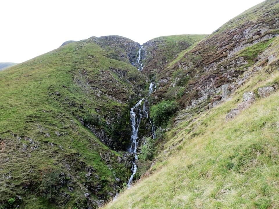 Sight · 8.1 km awayCautley SpoutA 200-metre cascade reached by a walk into the Howgills
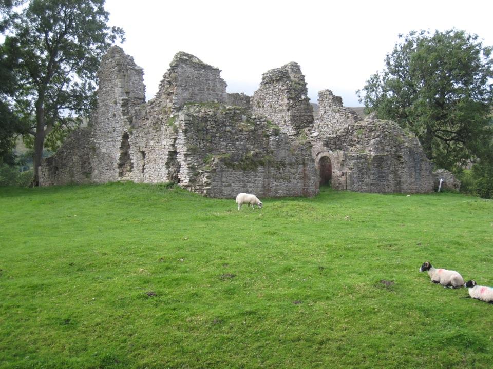 Sight · 8.3 km awayPendragon CastleRuined Clifford stronghold beside the young River Eden in Mallerstang
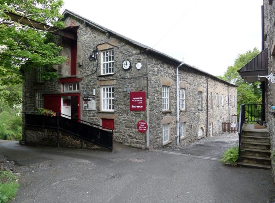 Sight · 13.6 km awayFarfield MillVictorian woollen mill now four floors of art, craft and looms
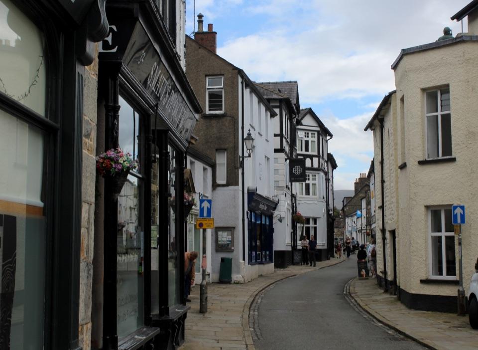 Sight · 13.9 km awaySedberghEngland's book town: stone streets with the Howgill Fells above
Parkwolf’s Yorkshire Dales ranking

The audio tour guide for the drive, plus offline maps, trails, and wildlife heatmaps for when the signal drops.