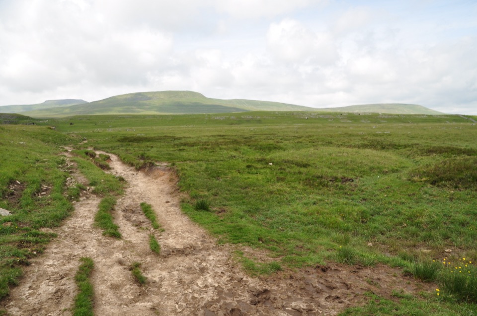
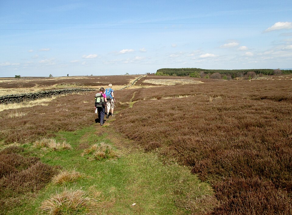
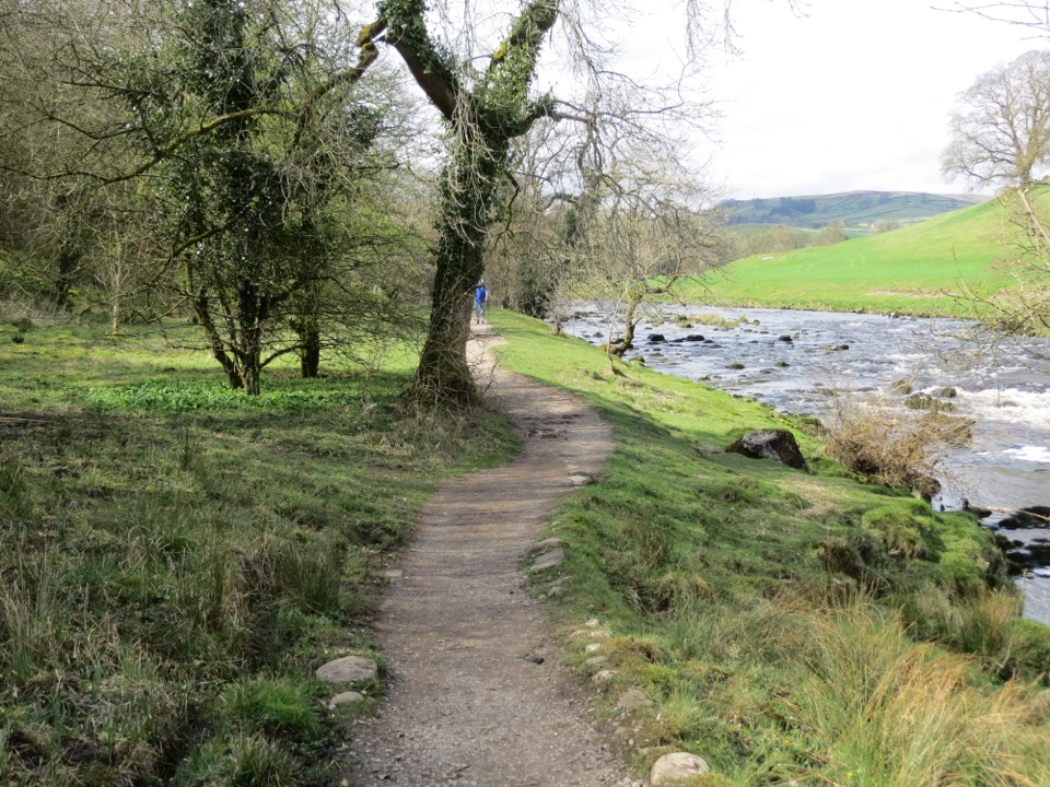
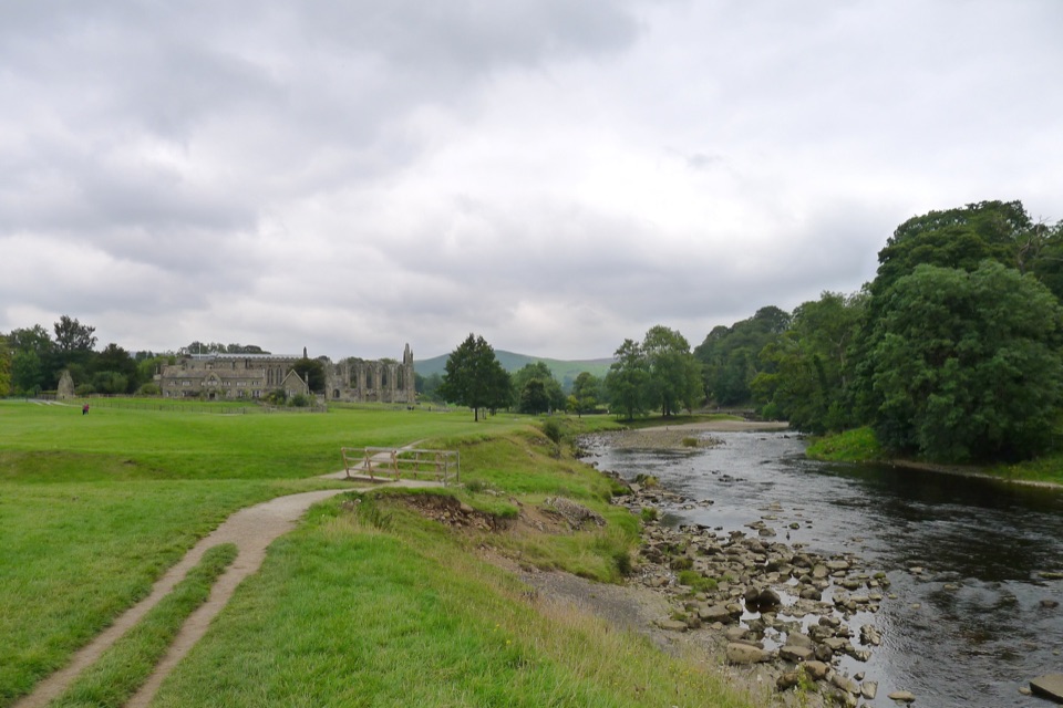
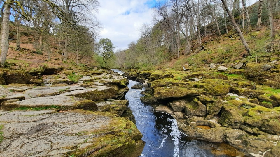
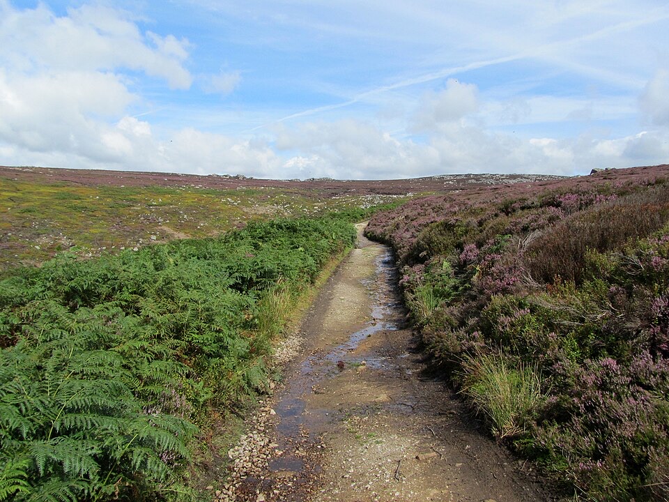
Expect challenging moorland walking. Higher ground is often rocky or boggy, particularly in the Howgills, and long open stretches are exposed with little shelter when visibility drops. Waymarking is deliberately minimal, and some markers were removed where the line shares the Pennine Bridleway, so confident navigation with an up-to-date guide and map is needed rather than optional. The payoff is sustained height and variety: gritstone moor, pavements and scars of limestone country, the whaleback profile of Ingleborough and Whernside, then the smooth grassy ridges of the Howgills before the drop into farmland at Appleby.