Parking
Skipton Castle and town car parks serve the start. This is a point-to-point walk, so arrange transport between Skipton and Penrith or use staged day walks.
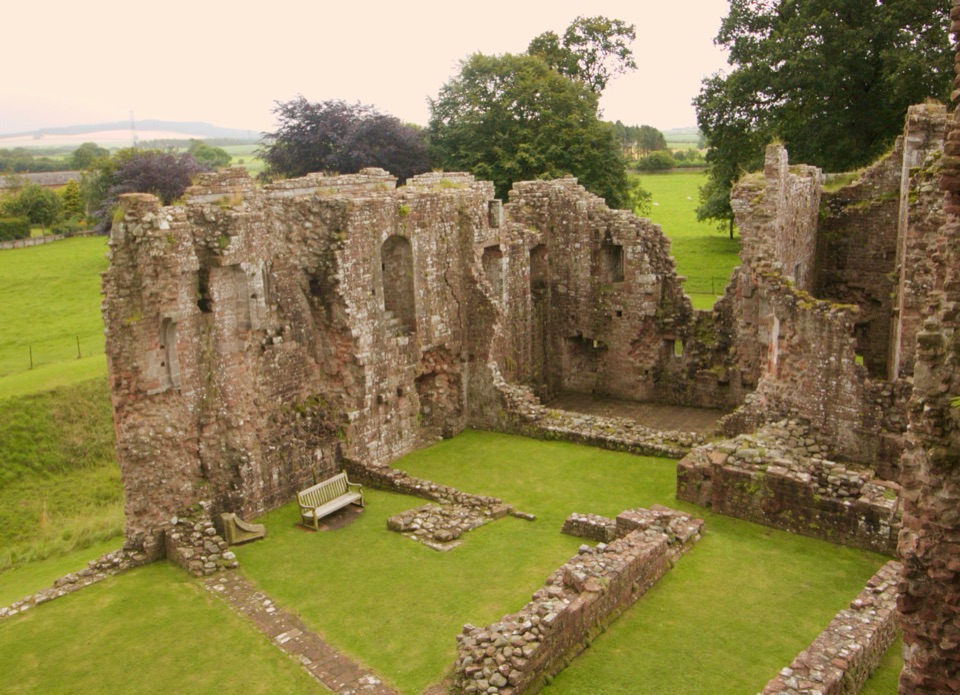
Yorkshire Dales National Park, EN
Six days of castles, moorland and Eden Valley miles, Skipton to Penrith
Overview
A point-to-point long-distance walk from Skipton to Penrith, with the standard six-day version totalling 99.5 miles (160 km). Allow around 48 hours of walking time overall. Sampled heights along the way run from about 107 m to 542 m, starting near 114 m and finishing near 133 m.
Map & elevation
Plan your hike

The highest, rockiest slopes around here are a summer buffet for grizzly bears.
Yorkshire Dales Tour Guide
Parkwolf is a GPS audio tour guide for Yorkshire Dales National Park. As you drive, it chimes in with what’s ahead: hidden gems, upcoming stops, history, geology, and wildlife, right through your car’s speakers.
Recorded for this area
Life Inside the Walls“Those dry-stone walls do more than divide fields. They are built without mortar, leaving small passages between the stones. Wrens sometimes slip into those gaps to nest, and mice or voles can shelter deeper inside.”
Plays on the road 1.7 km from the trailhead in the Parkwolf Yorkshire Dales Tour Guide.
More stories near here in the app
“Fantastic app with many points of information… It’s great to just turn on while you’re driving and it gives you an audio tour of the national Park. We love it!!!!”


Trail guide
The walk begins at Skipton Castle, with the castle and town car parks serving the start, and finishes near Brougham Castle and Penrith. Because it is a one-way route, plan your return travel between the two ends before you set out.
From Skipton the way passes Embsay and Eastby, Barden Tower and the Wharfe valley, then Grassington, Kettlewell and Buckden. It climbs over Stake Moss to Askrigg and Hawes, follows Lady Anne's Highway through Mallerstang, and reaches Kirkby Stephen, Brough and Appleby before tracing the Eden Valley to Brougham Castle and Penrith. It is a mix of dale-bottom walking, riverside miles, historic buildings and high open moorland.
This is a demanding journey rather than a day stroll. Expect exposed moorland sections, stretches where route-finding matters, wet or rough ground, limestone hazards and livestock including cattle. Carry proper navigation, and be ready for the weather to change on the higher, open ground.
Dogs are welcome. Keep them on a short lead near livestock and from March to July, keep them under close control at other times, and stay on public rights of way throughout.
If 99.5 miles is more than you want, a shorter and more river-focused section of the Dales Way makes a gentler option with a similar valley feel.
Wildlife
 10 sightingsEurasian OtterMost seen around 7 PMSighting map
 11 sightingsAtlantic SalmonMost seen around 7 AMSighting map
 12 sightingsShort-eared OwlMost seen around 7 PMSighting map
 22 sightingsWestern Barn OwlMost seen around 6 AMSighting map
 27 sightingsTawny OwlMost seen around 7 PMSighting map
 34 sightingsCommon KingfisherMost seen around 7 AMSighting map
Sighting maps show where each species has been reported across Yorkshire Dales. Wildlife moves, so no sighting is guaranteed.
Keep exploring
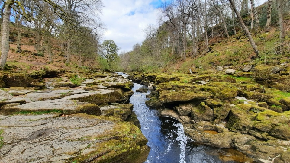 EasyBolton Abbey Accessible Walk3.5 km · 1.5 hr · 9.2 km awayCompact stone path through ancient oak woodland to the dangerous Strid
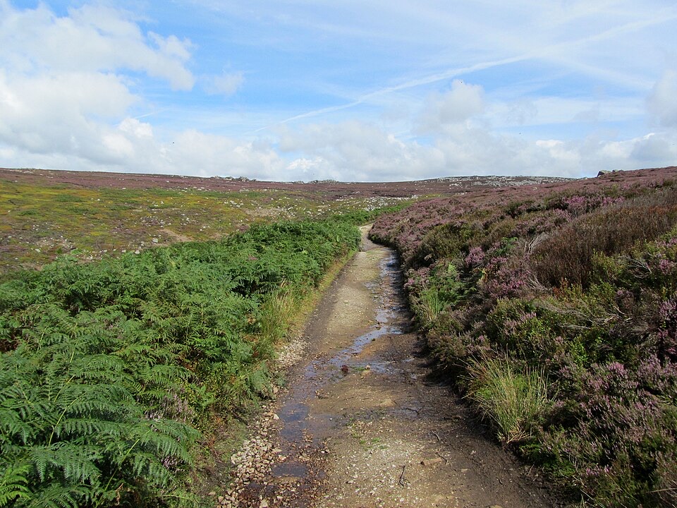 ChallengingSimon’s Seat and the Valley of Desolation13.3 km · 4.5 hr · 9.2 km awayWaterfall glen, open moor and a 485 m gritstone summit above Wharfedale
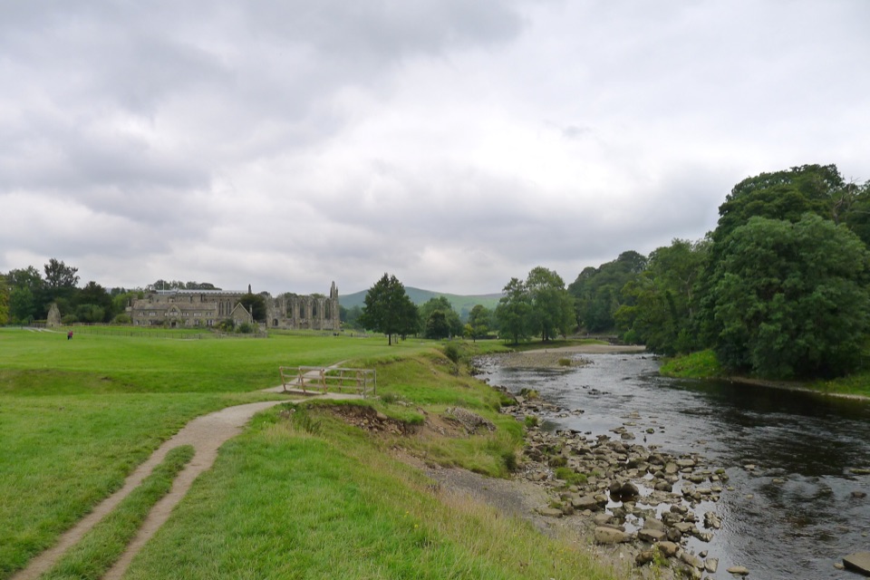 ModerateBolton Abbey to Grassington Walk16.1 km · 5 hr · 9.3 km awayTen miles down the Wharfe, past bridges and villages to Grassington
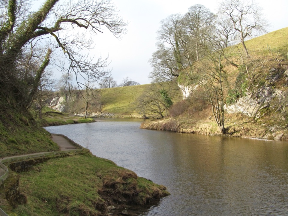 EasyBurnsall Accessible Walk1.4 km · 1 hr · 10 km awaySmooth, level riverside walk to Loup Scar, with two kissing gates
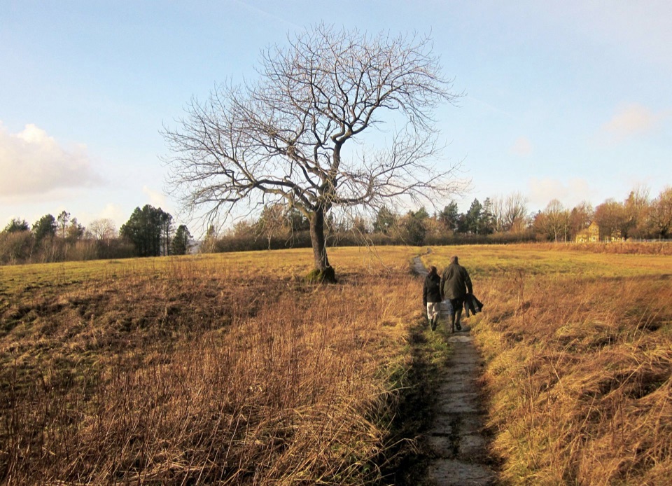 ModerateGrassington Meadows5.6 km · 1.8 hr · 11.9 km awayFlower-rich hay meadows, stone stiles and the falls at Linton
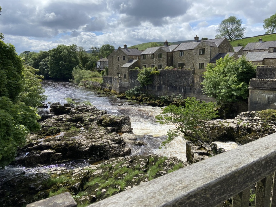 ModerateGrassington Accessible Walk2.1 km · 1 hr · 11.9 km awayWalled lane and riverside loop to the falls, with short steep pitches
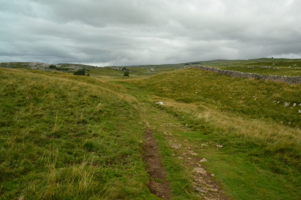 ModerateGrassington Audio Trail6.3 km · 1.8 hr · 11.9 km awayFifteen audio stops link limestone grassland and lead-mining history
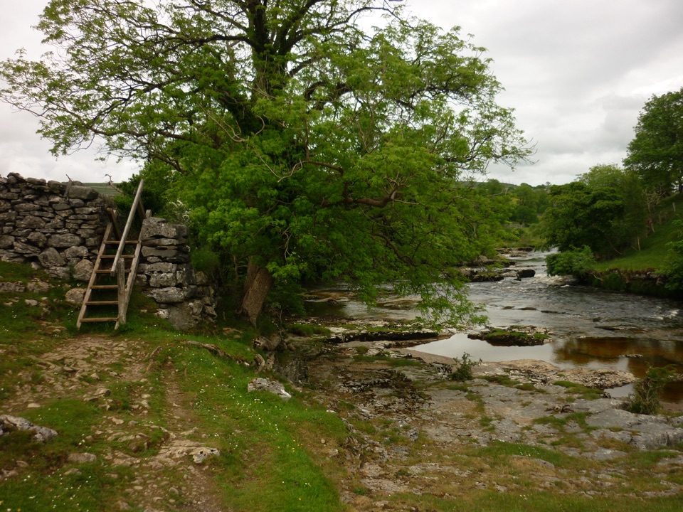 ModerateGrass Wood Circular7.2 km · 2.5 hr · 11.9 km awayRiver gorge, waterfall and limestone woodland in one Wharfedale loop
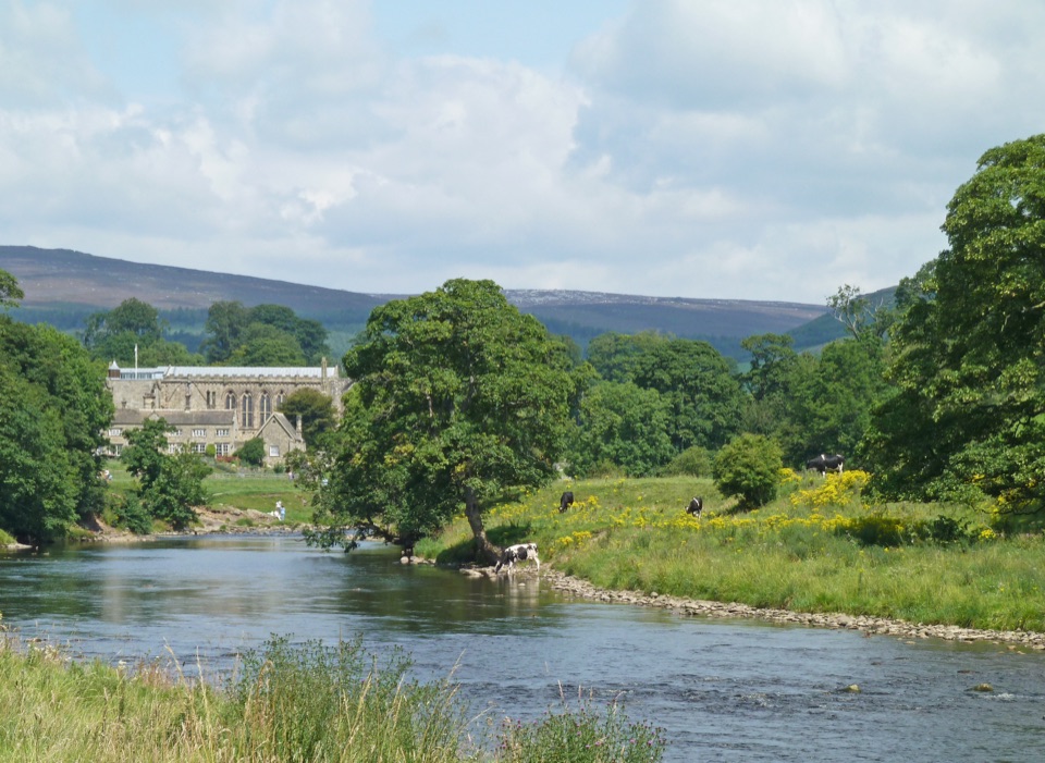 Sight · 8.6 km awayBolton AbbeyRiverside priory ruins, 62 stepping stones and the roaring Strid
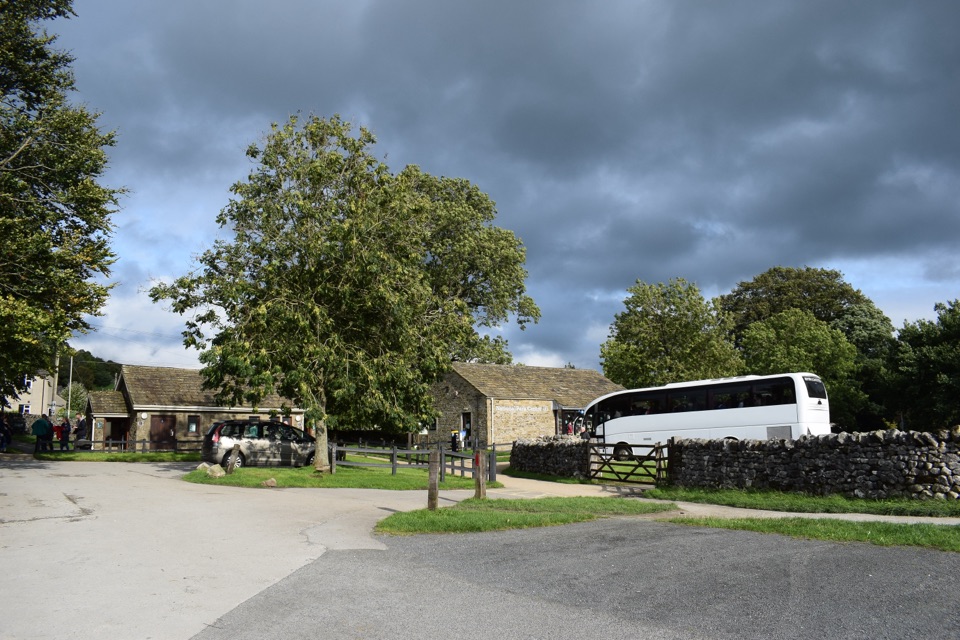 Visitor center · 11.9 km awayGrassington National Park CentrePark, plan, and walk to Linton Falls from Wharfedale's info hub
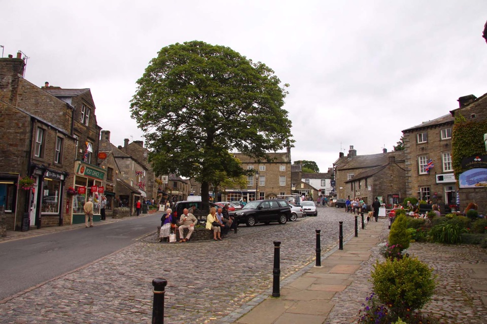 Sight · 12.1 km awayGrassingtonCobbled market square, stone cottages and riverside walks by the Wharfe
 Sight · 12.1 km awayGrassington Folk MuseumTwo miners' cottages packed with Upper Wharfedale's mining and daily life
 Sight · 13.9 km awayJanet's FossMoss-and-tufa cascade in bluebell woods where a fairy queen once lived
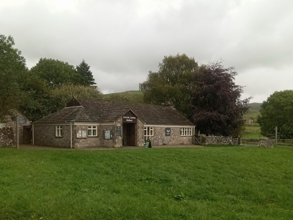 Visitor center · 14 km awayMalham National Park CentreMaps, advice and parking before the Cove and Gordale circuit
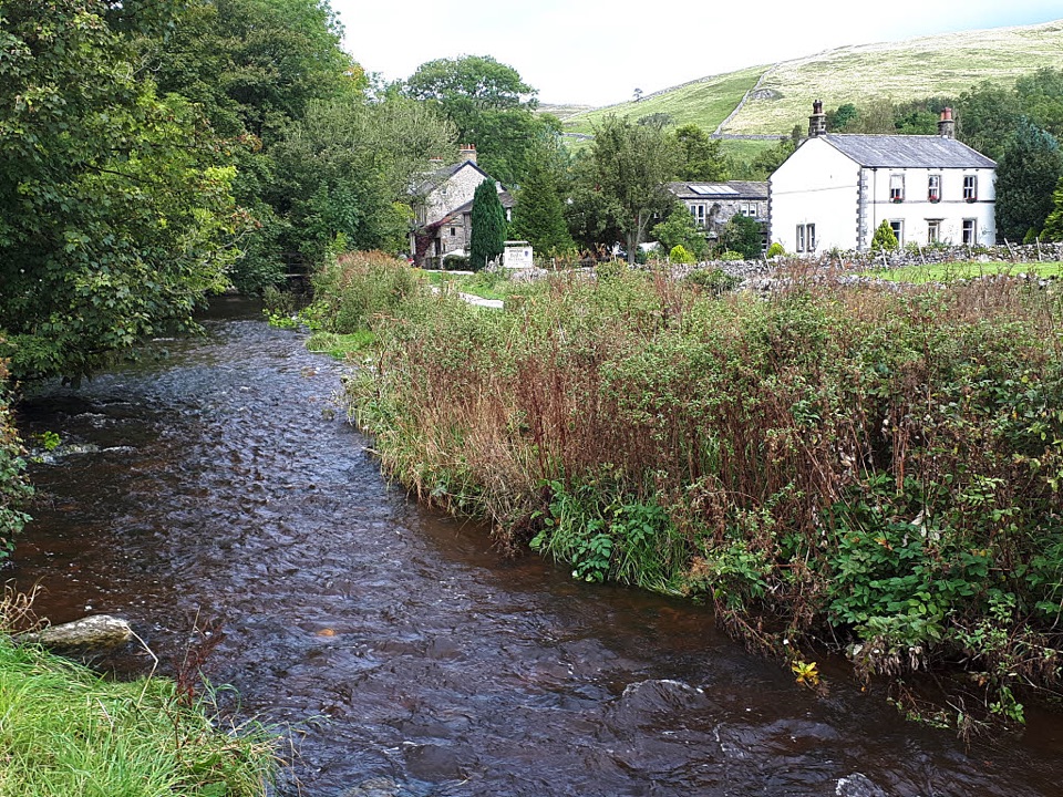 Sight · 14.1 km awayMalhamBeck-side stone village that launches walks to famous limestone cliffs
 Sight · 14.3 km awayGordale ScarHidden gorge where 150m limestone walls close around a tufa waterfall
Parkwolf’s Yorkshire Dales ranking

The audio tour guide for the drive, plus offline maps, trails, and wildlife heatmaps for when the signal drops.





