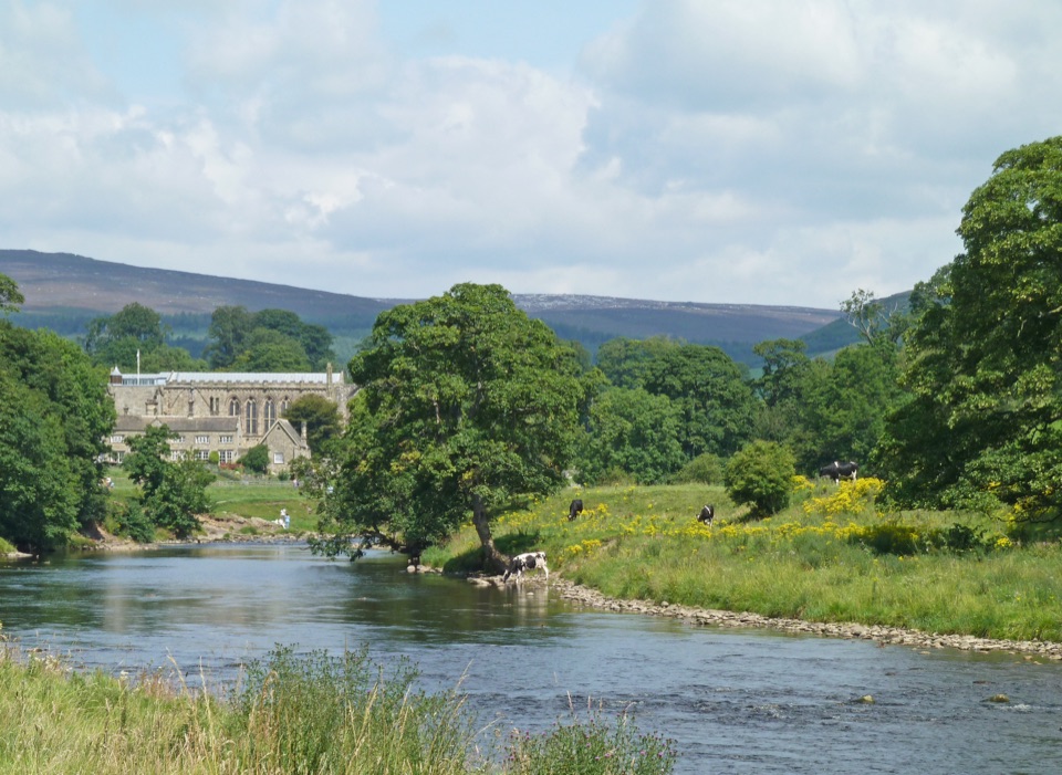
Parking
Start from Otley Market Square and use a signposted town-centre car park within easy walking distance. The finish is Middleham Market Square; do not leave a vehicle there long-term.
Yorkshire Dales National Park, EN
Otley to Middleham across six dales, reservoirs and heather moorland
Overview
Map & elevation
Plan your hike

The highest, rockiest slopes around here are a summer buffet for grizzly bears.
Yorkshire Dales Tour Guide
Parkwolf is a GPS audio tour guide for Yorkshire Dales National Park. As you drive, it chimes in with what’s ahead: hidden gems, upcoming stops, history, geology, and wildlife, right through your car’s speakers.
“Fantastic app with many points of information… It’s great to just turn on while you’re driving and it gives you an audio tour of the national Park. We love it!!!!”


Trail guide
A point-to-point long-distance walk from Otley Market Square to Middleham Market Square, one way, with no return leg. Plan on 38 miles (about 61 km), the official rounded figure; route measurement cross-checks put it at roughly 38.2 miles. Most walkers split it over about three days, and the trail is waymarked throughout.
From Otley you cross the River Wharfe and climb by Kell Beck past the hospital and Clifton into the Washburn Valley, passing an ancient packhorse bridge and the Swinsty and Fewston reservoirs, then woodland and Thruscross Reservoir. Fields by Padside Green lead into the Nidd Valley and Nidderdale AONB, with Pateley Bridge close to the midpoint.
The second half is bigger country: a disused railway track above Gouthwaite Reservoir to Bouthwaite, the climb over Fountains Earth Moor, a descent past Roundhill and Leighton reservoirs, Grimes Gill into Colsterdale and the Leeds Pals Memorial, then Ellingstring and High Jervaulx. You pass Jervaulx Abbey, follow the River Ure to Cover Bridge, dip into Coverdale, and climb for views over Wensleydale and Middleham Castle before finishing in the town square.
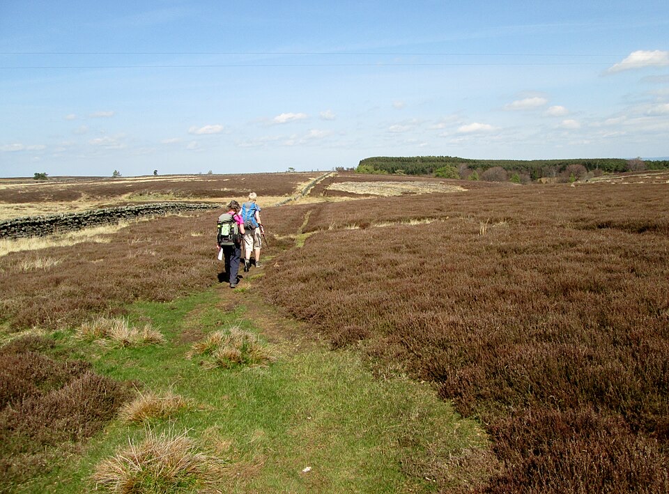
Rated 8/10. No single section is technical, but the trail crosses the five watersheds between Wharfedale, Washburndale, Nidderdale, Colsterdale, Coverdale and Wensleydale, so the climbs keep coming. Underfoot you get quiet pastures, riverside paths, woodland, farm tracks, bridleways, field crossings, lanes and short road crossings, plus historic parkland.
The high heather moorland is the serious part. Fountains Earth Moor and the ground around the upper reservoirs are open and exposed, with little shelter and few escape options in wind, rain or low cloud. Carry map, compass and full waterproofs, and be ready for slow, wet ground after rain.
Dogs are welcome on public rights of way, but keep them on a lead in fields with livestock and on a short lead from March to July to protect ground-nesting birds, and under close control near wildlife, people and water. The trail also crosses land outside the National Park, so treat leads and close control as the working rule the whole way and follow any signs you meet.
Otley has several signposted town-centre car parks within easy walking distance of the market square, which suits a start-day drop-off or a park-and-transport plan. At the Middleham end there are public toilets beside the main square, but the town council does not permit long-term parking in its town-waste areas, so do not plan on leaving a vehicle there for the duration. Leaving the car at one end and using buses or a lift for the other is the simpler approach.
Wildlife
 10 sightingsEurasian OtterMost seen around 7 PMSighting map
 11 sightingsAtlantic SalmonMost seen around 7 AMSighting map
 12 sightingsShort-eared OwlMost seen around 7 PMSighting map
 22 sightingsWestern Barn OwlMost seen around 6 AMSighting map
 27 sightingsTawny OwlMost seen around 7 PMSighting map
 34 sightingsCommon KingfisherMost seen around 7 AMSighting map
Sighting maps show where each species has been reported across Yorkshire Dales. Wildlife moves, so no sighting is guaranteed.
Keep exploring
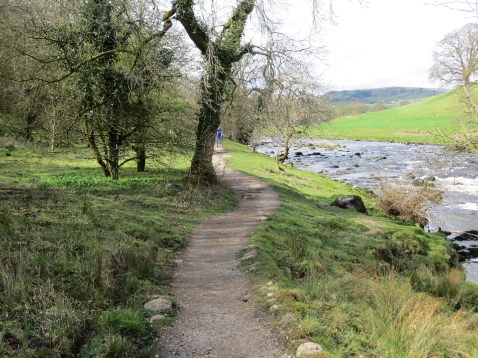 ModerateDales Way128.7 km · 1.8 days · 9.3 km awayEighty miles of riverside dales, high watershed and a Windermere finish
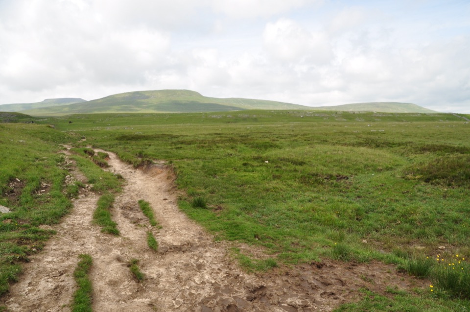 ChallengingDales High Way144.8 km · 2 days · 9.9 km awayNinety miles of high moorland, limestone and fells, Saltaire to Appleby
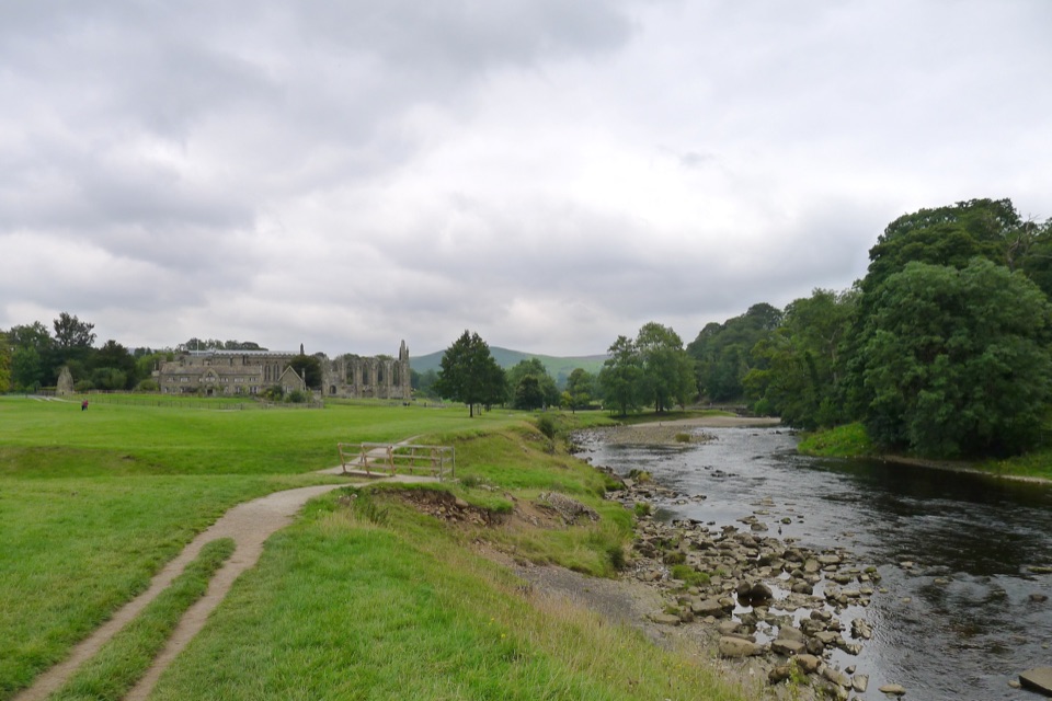 ModerateBolton Abbey to Grassington Walk16.1 km · 5 hr · 15.3 km awayTen miles down the Wharfe, past bridges and villages to Grassington
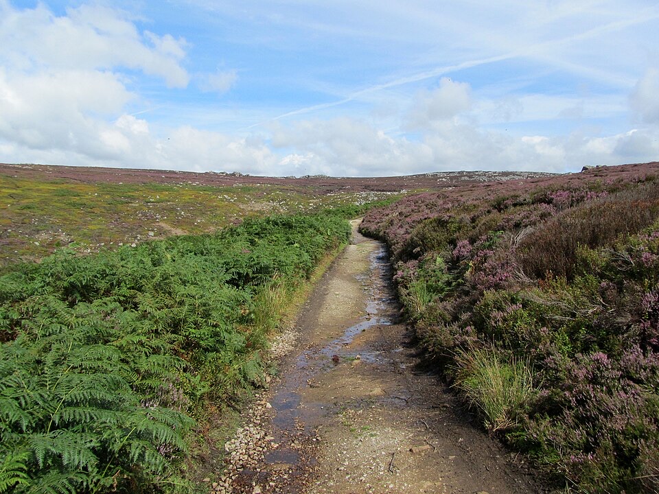 ChallengingSimon’s Seat and the Valley of Desolation13.3 km · 4.5 hr · 15.8 km awayWaterfall glen, open moor and a 485 m gritstone summit above Wharfedale
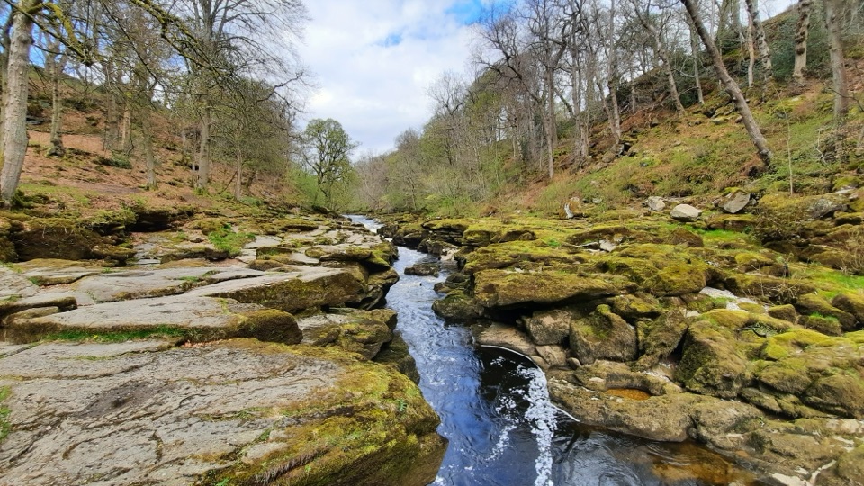 EasyBolton Abbey Accessible Walk3.5 km · 1.5 hr · 15.8 km awayCompact stone path through ancient oak woodland to the dangerous Strid
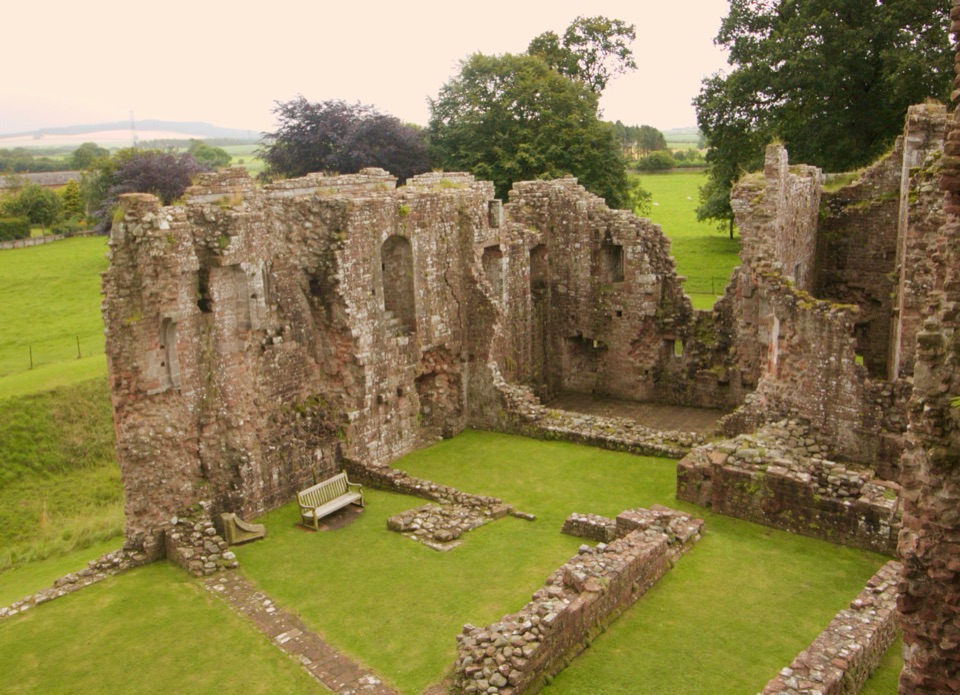 ChallengingLady Anne’s Way160.1 km · 2 days · 22 km awaySix days of castles, moorland and Eden Valley miles, Skipton to Penrith
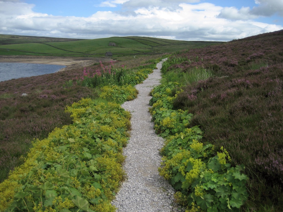 ModerateGrimwith Reservoir Accessible Walk5.6 km · 2 hr · 23 km awayWide shoreline track to open water, wildfowl and fell views, no stiles
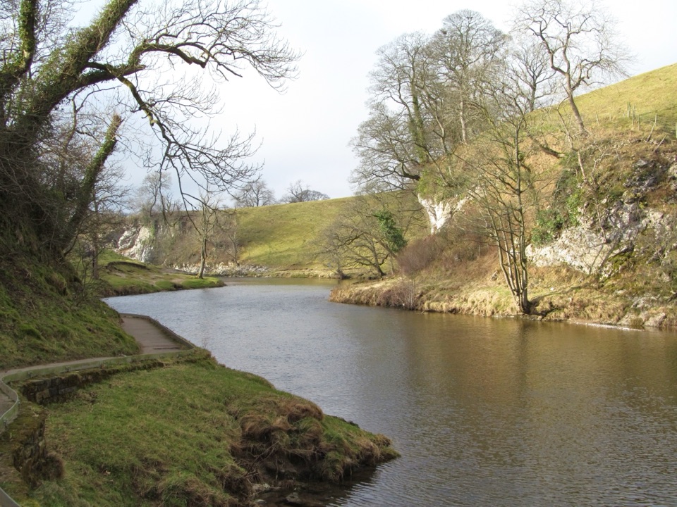 EasyBurnsall Accessible Walk1.4 km · 1 hr · 23 km awaySmooth, level riverside walk to Loup Scar, with two kissing gates
Parkwolf’s Yorkshire Dales ranking

The audio tour guide for the drive, plus offline maps, trails, and wildlife heatmaps for when the signal drops.