Parking
Start at the signed Start of the Dales Way by Ilkley Old Bridge, beside Riverside Gardens; use Ilkley public parking or arrive by train. The finish is in Bowness-on-Windermere, so plan a one-way return via Windermere station and buses.
#9 of 99 trails in Yorkshire Dales
Yorkshire Dales National Park, EN
Eighty miles of riverside dales, high watershed and a Windermere finish
Overview
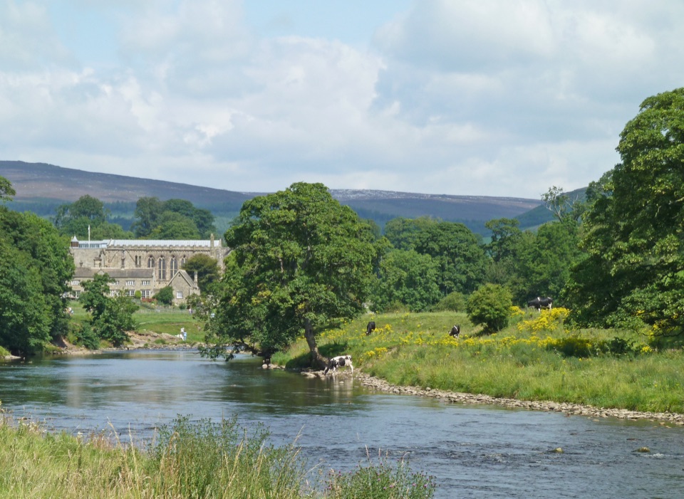
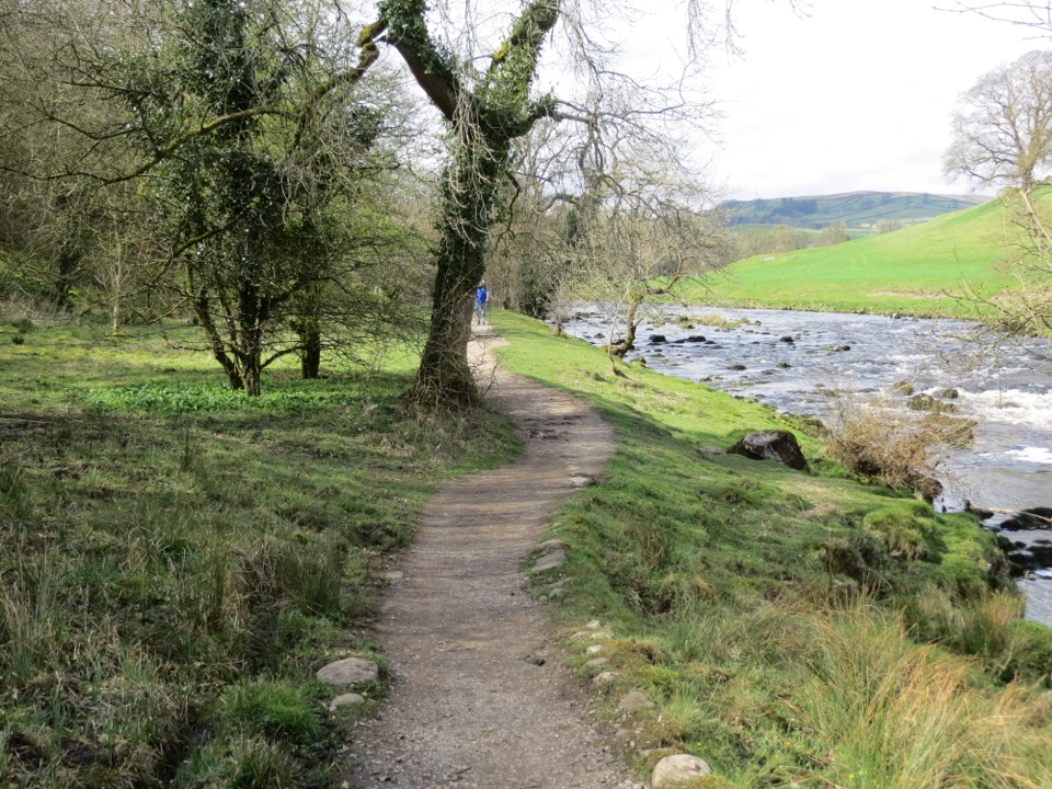
The reward is the changing ground under your feet rather than one big summit. You move from limestone dales and clear river corridors to open moorland, then into the smooth grassy Howgills and the deep trench of the Lune Gorge, with the lake waiting at the end. Bolton Abbey, the Strid and the walled riverside path near Loup Scar are the standout early scenes; Langstrothdale and Dentdale carry the middle.
 Parkwolf’s verdictWhy walk it
Map & elevation
Plan your hike

The highest, rockiest slopes around here are a summer buffet for grizzly bears.
Yorkshire Dales Tour Guide
Parkwolf is a GPS audio tour guide for Yorkshire Dales National Park. As you drive, it chimes in with what’s ahead: hidden gems, upcoming stops, history, geology, and wildlife, right through your car’s speakers.
More stories near here in the app
“Fantastic app with many points of information… It’s great to just turn on while you’re driving and it gives you an audio tour of the national Park. We love it!!!!”


Trail guide
A one-way point-to-point long-distance walk from Ilkley to Bowness-on-Windermere, officially 80 miles (128 km). The mapped GPS line comes out closer to 78.3 miles, which is just rounding and mapping differences, not a shortcut. Most people walk it south to north, starting at the signed Start of the Dales Way at Ilkley Old Bridge and finishing at the terminus bench above Lake Windermere.
April to October is the recommended window for milder weather and long enough days to cover the big stages. Winter is walkable but wet, muddy and much harder work with short daylight. Early light works well in the wooded Wharfe sections where the sun struggles to reach the water later in the day, and low evening light suits the Howgills and the Lune Gorge. Save some battery for the final descent above Bowness.
Both ends are reachable by public transport, with Ilkley station near the start and Windermere station and bus service near the finish. Because it is point-to-point, sort accommodation and any luggage transfer in advance rather than improvising. Dogs are generally fine since the route follows public rights of way, but you are crossing working farmland: keep them under close control, on a short lead around livestock, and follow lead advice during ground-nesting bird season. Check for current route updates before you set out, since permissive paths and diversions do change.
There is real road and lane walking mixed in, and the field paths can be a slog of gates and mud after wet spells. The high crossing between Langstrothdale and Ribblesdale is the section that catches people out on a poor day. If you want a shorter taste rather than the full commitment, the Wharfedale half from Ilkley to Buckden gives you the best of the river and limestone scenery in two or three days.
Wildlife
 10 sightingsEurasian OtterMost seen around 7 PMSighting map
 11 sightingsAtlantic SalmonMost seen around 7 AMSighting map
 12 sightingsShort-eared OwlMost seen around 7 PMSighting map
 22 sightingsWestern Barn OwlMost seen around 6 AMSighting map
 27 sightingsTawny OwlMost seen around 7 PMSighting map
 34 sightingsCommon KingfisherMost seen around 7 AMSighting map
Sighting maps show where each species has been reported across Yorkshire Dales. Wildlife moves, so no sighting is guaranteed.
Keep exploring
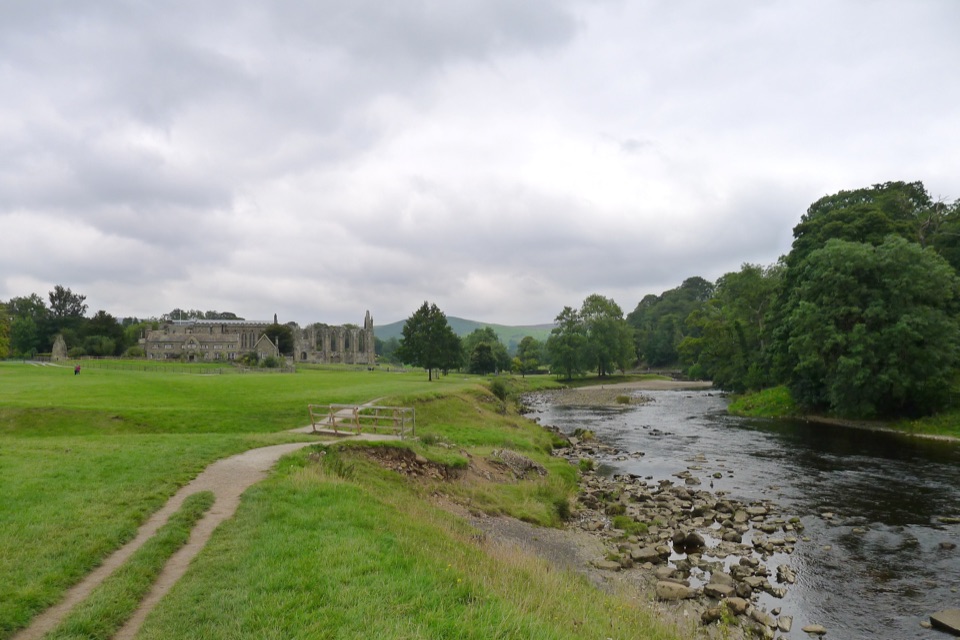 ModerateBolton Abbey to Grassington Walk16.1 km · 5 hr · 7.4 km awayTen miles down the Wharfe, past bridges and villages to Grassington
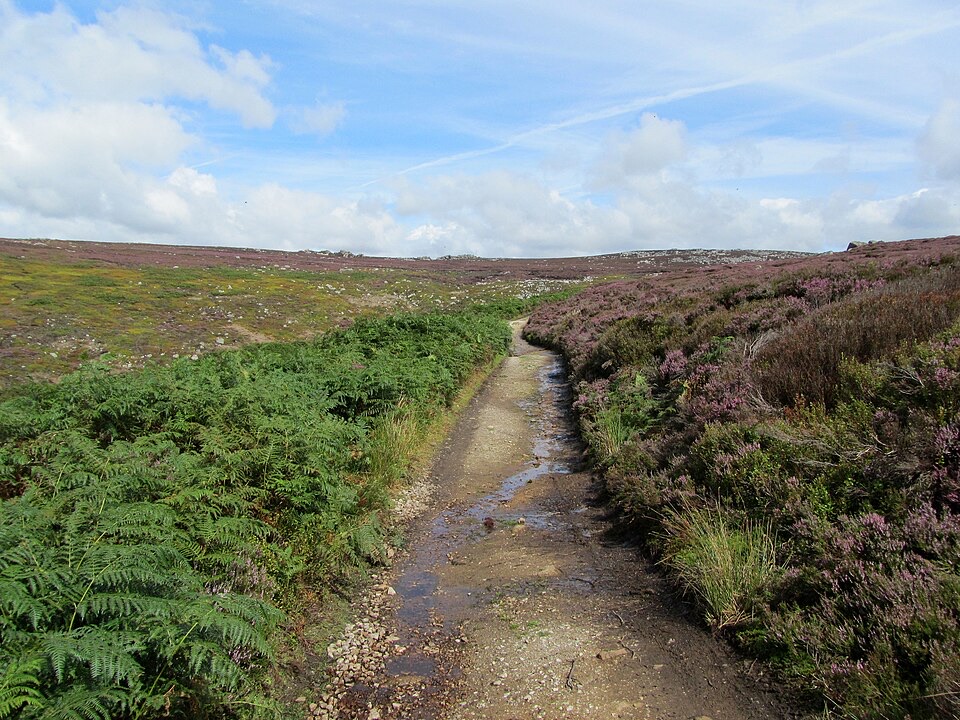 ChallengingSimon’s Seat and the Valley of Desolation13.3 km · 4.5 hr · 8 km awayWaterfall glen, open moor and a 485 m gritstone summit above Wharfedale
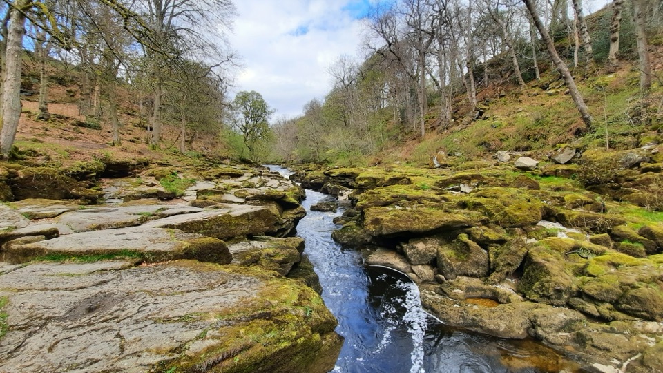 EasyBolton Abbey Accessible Walk3.5 km · 1.5 hr · 8 km awayCompact stone path through ancient oak woodland to the dangerous Strid
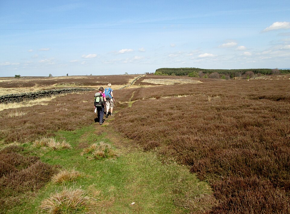 Challenging6 Dales Trail61.2 km · 18 hr · 9.3 km awayOtley to Middleham across six dales, reservoirs and heather moorland
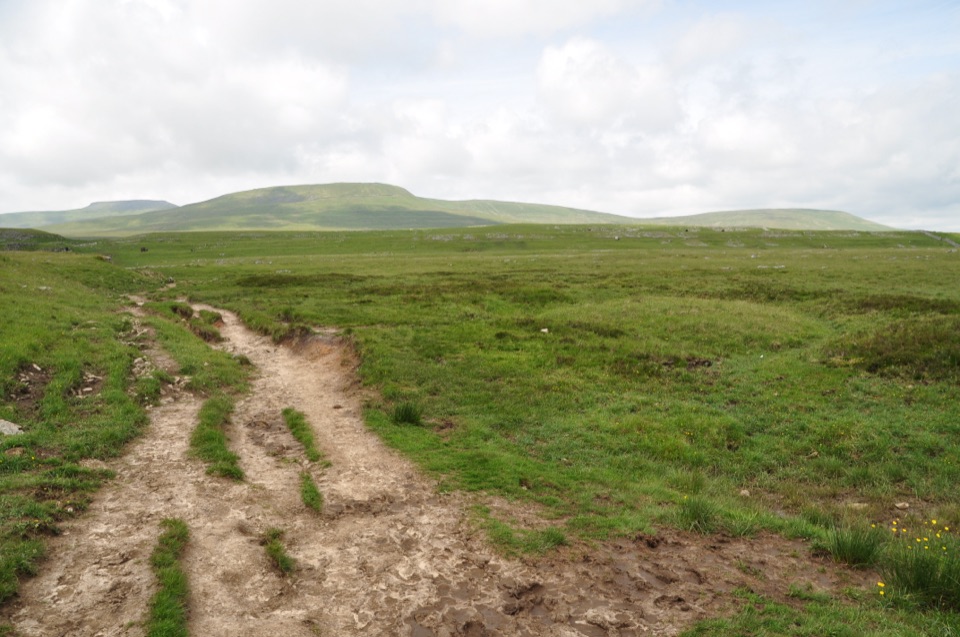 ChallengingDales High Way144.8 km · 2 days · 10.5 km awayNinety miles of high moorland, limestone and fells, Saltaire to Appleby
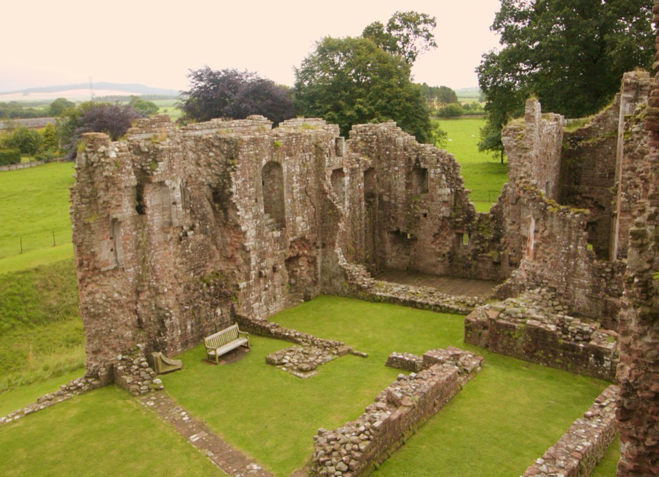 ChallengingLady Anne’s Way160.1 km · 2 days · 12.7 km awaySix days of castles, moorland and Eden Valley miles, Skipton to Penrith
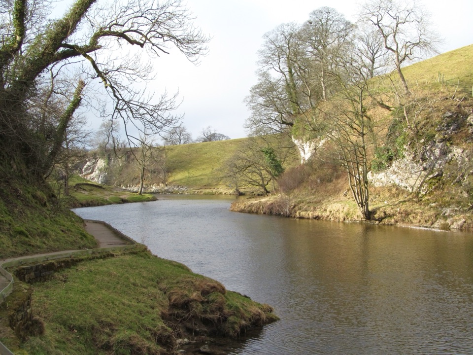 EasyBurnsall Accessible Walk1.4 km · 1 hr · 15.3 km awaySmooth, level riverside walk to Loup Scar, with two kissing gates
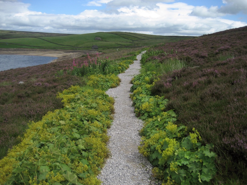 ModerateGrimwith Reservoir Accessible Walk5.6 km · 2 hr · 16.6 km awayWide shoreline track to open water, wildfowl and fell views, no stiles
Parkwolf’s Yorkshire Dales ranking
The audio tour guide for the drive, plus offline maps, trails, and wildlife heatmaps for when the signal drops.