Parking
Park at Sandholme car park for the Cavendish Pavilion start; designated Blue Badge spaces and accessible toilets are available. The estate admission fee applies to Blue Badge holders.
Yorkshire Dales National Park, EN
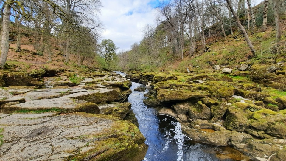
Compact stone path through ancient oak woodland to the dangerous Strid
Overview
You set off from the Pavilion and follow the river upstream into Strid Wood, where the path threads through steep-sided woodland with the Wharfe below. The destination is The Strid, the point where the wide river squeezes into a narrow, fast channel through rock. It is the obvious turning point, and the sound and force of the water are the reason people come.
 Parkwolf’s verdictThe walk and the payoff
Map & elevation
Plan your hike

The highest, rockiest slopes around here are a summer buffet for grizzly bears.
Yorkshire Dales Tour Guide
Parkwolf is a GPS audio tour guide for Yorkshire Dales National Park. As you drive, it chimes in with what’s ahead: hidden gems, upcoming stops, history, geology, and wildlife, right through your car’s speakers.
Recorded for this trailhead
Cavendish Pavilion and Strid Wood“You're coming up on Cavendish Pavilion, the riverside starting point for two very different walks.”
Plays as you drive up to this trailhead in the Parkwolf Yorkshire Dales Tour Guide.
More stories near here in the app
“Fantastic app with many points of information… It’s great to just turn on while you’re driving and it gives you an audio tour of the national Park. We love it!!!!”


Trail guide
This is a linear out-and-back walk beside the River Wharfe, from the Cavendish Pavilion to The Strid and back the same way. The official distance is 1.8 km each way, so 3.6 km (2.2 miles) in total, though the physical corridor is measured once rather than doubled.
The core route is graded as an accessible "route for many": compact stone, at least 2 m wide, with passing places and benches along the full length. It is mostly flat with some sections up to 1:10. Easy in practical terms, but a stone surface with occasional gentle rises can still feel less smooth than it sounds, so judge it against your own chair, pushchair or walking pace rather than assuming it suits everyone.
Strid Wood is ancient semi-natural sessile oak woodland and an SSSI, with a delicate ground layer that includes bluebells, dog's mercury, ramsons and sanicle, plus mosses, liverworts, fungi and lichens. Woodland birds here include pied flycatcher, wood warbler and goosander, though nothing is guaranteed on any given day. Stay on the trails so the woodland floor is left intact.
The Strid is a genuinely dangerous river feature. Keep well back from the water and stay on the path, including with children and dogs. This is the one part of the walk that deserves real caution despite the easy grading.
Dogs are welcome on the estate. Keep them on lead in wooded areas, close and under control, and use a short lead around livestock and from March to July for ground-nesting birds.
A separate red "route for some" continues past The Strid to Barden Bridge, 3.7 km each way, on unsurfaced ground with gradients up to 1:6. That is a harder, much less accessible walk and is not part of this route or its stated distance. Treat it as a decision you make at The Strid, not a continuation of the accessible path.
Wildlife
 10 sightingsEurasian OtterMost seen around 7 PMSighting map
 11 sightingsAtlantic SalmonMost seen around 7 AMSighting map
 12 sightingsShort-eared OwlMost seen around 7 PMSighting map
 22 sightingsWestern Barn OwlMost seen around 6 AMSighting map
 27 sightingsTawny OwlMost seen around 7 PMSighting map
 34 sightingsCommon KingfisherMost seen around 7 AMSighting map
Sighting maps show where each species has been reported across Yorkshire Dales. Wildlife moves, so no sighting is guaranteed.
Keep exploring
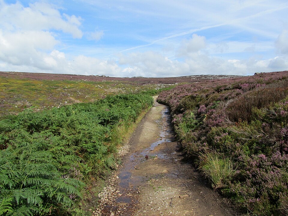 ChallengingSimon’s Seat and the Valley of Desolation13.3 km · 4.5 hr · At the trailheadWaterfall glen, open moor and a 485 m gritstone summit above Wharfedale
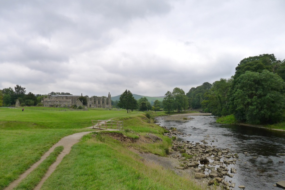 ModerateBolton Abbey to Grassington Walk16.1 km · 5 hr · 0.6 km awayTen miles down the Wharfe, past bridges and villages to Grassington
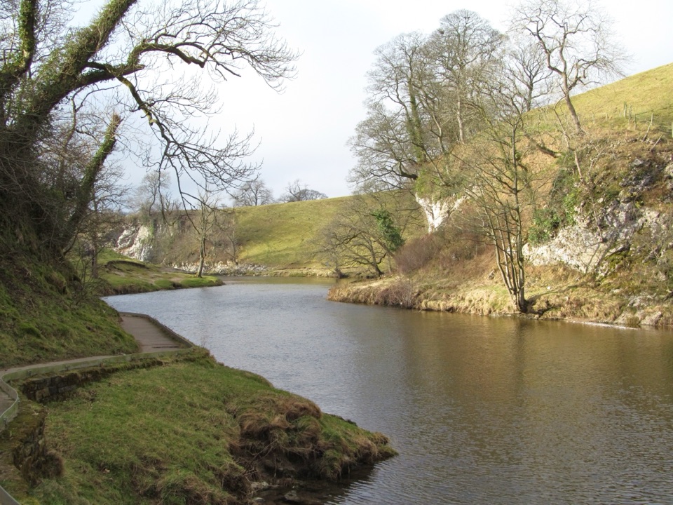 EasyBurnsall Accessible Walk1.4 km · 1 hr · 7.4 km awaySmooth, level riverside walk to Loup Scar, with two kissing gates
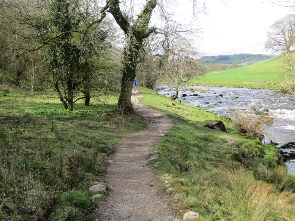 ModerateDales Way128.7 km · 1.8 days · 8 km awayEighty miles of riverside dales, high watershed and a Windermere finish
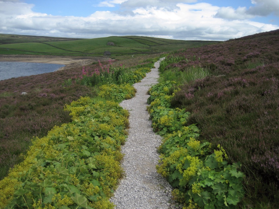 ModerateGrimwith Reservoir Accessible Walk5.6 km · 2 hr · 8.8 km awayWide shoreline track to open water, wildfowl and fell views, no stiles
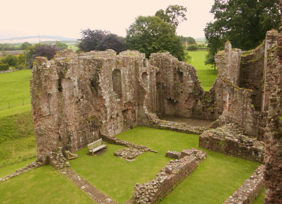 ChallengingLady Anne’s Way160.1 km · 2 days · 9.2 km awaySix days of castles, moorland and Eden Valley miles, Skipton to Penrith
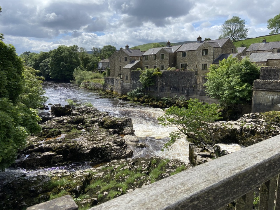 ModerateGrassington Accessible Walk2.1 km · 1 hr · 11.3 km awayWalled lane and riverside loop to the falls, with short steep pitches
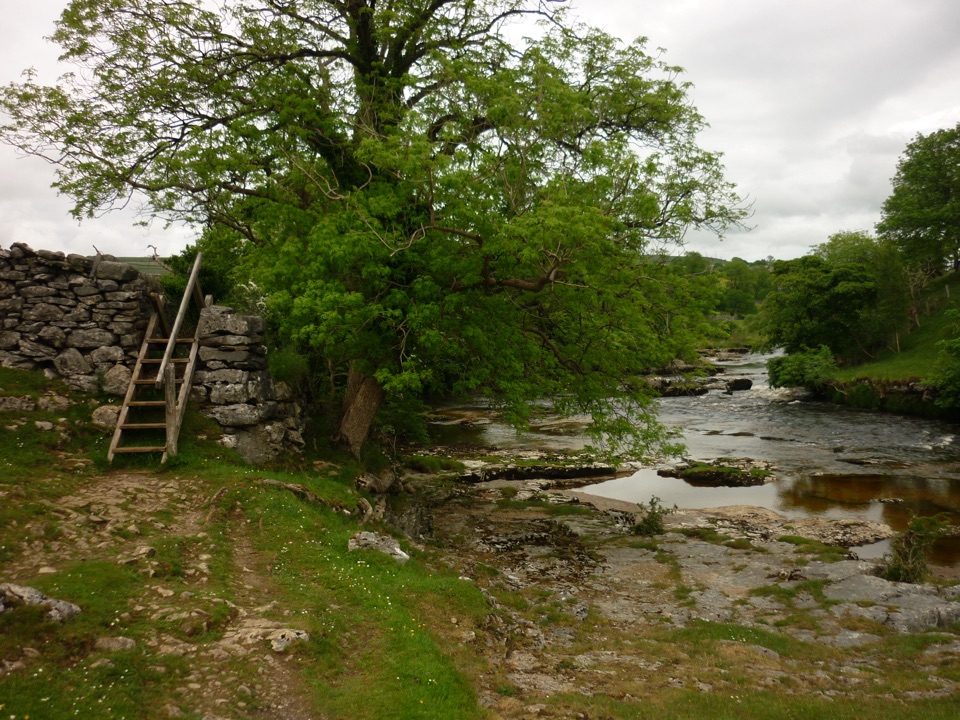 ModerateGrass Wood Circular7.2 km · 2.5 hr · 11.3 km awayRiver gorge, waterfall and limestone woodland in one Wharfedale loop
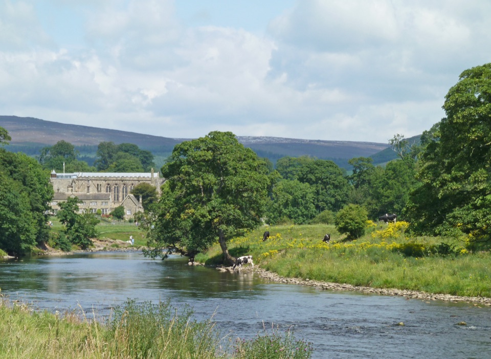 Sight · 1.1 km awayBolton AbbeyRiverside priory ruins, 62 stepping stones and the roaring Strid
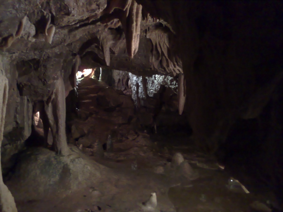 Sight · 8.4 km awayStump Cross CavernsHard hats, 65 steps and calcite that glows under UV torches
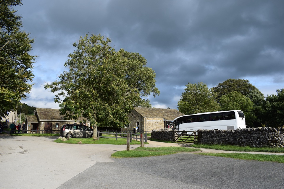 Visitor center · 11.3 km awayGrassington National Park CentrePark, plan, and walk to Linton Falls from Wharfedale's info hub
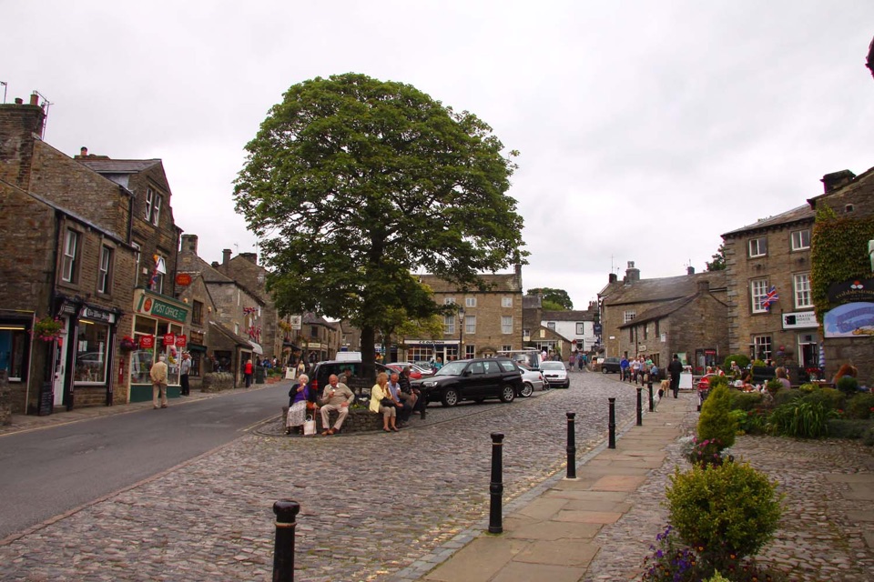 Sight · 11.5 km awayGrassingtonCobbled market square, stone cottages and riverside walks by the Wharfe
 Sight · 11.5 km awayGrassington Folk MuseumTwo miners' cottages packed with Upper Wharfedale's mining and daily life
Parkwolf’s Yorkshire Dales ranking
The audio tour guide for the drive, plus offline maps, trails, and wildlife heatmaps for when the signal drops.





