Parking
Start at Bolton Abbey Riverside car park on Welly Walk. It is managed by the Bolton Abbey Estate, whose admission arrangement applies; designated Blue Badge spaces and accessible public toilets are available.
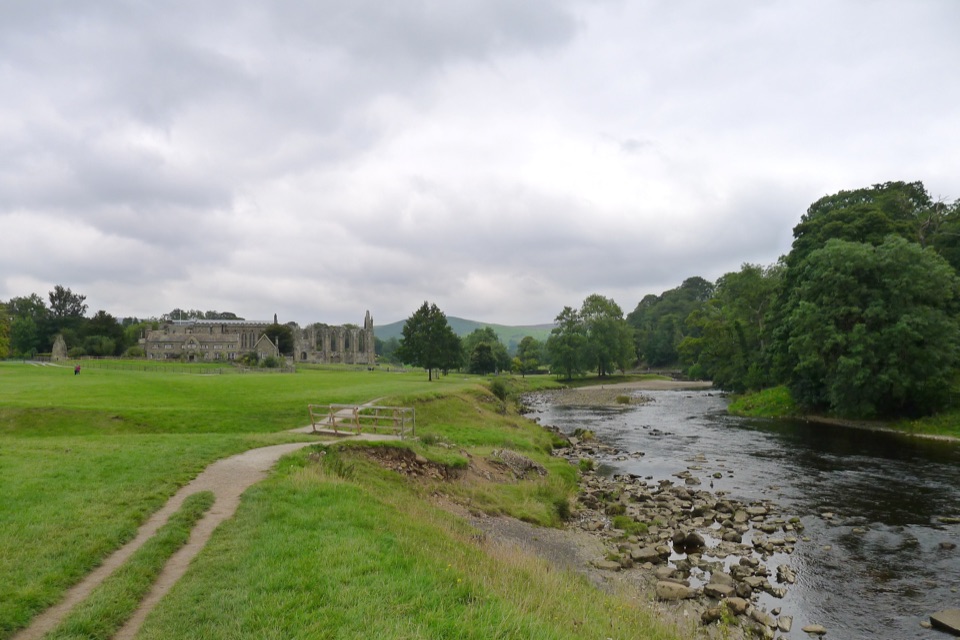
Yorkshire Dales National Park, EN
Ten miles down the Wharfe, past bridges and villages to Grassington
Overview
A solid, scenic Wharfedale day: bridges, villages, falls and a lot of river. It is a good secondary walk rather than a headline attraction, best suited to someone who wants distance and easy-going ground instead of a summit.
 Parkwolf’s verdictIs it worth it
Map & elevation
Plan your hike

The highest, rockiest slopes around here are a summer buffet for grizzly bears.
Yorkshire Dales Tour Guide
Parkwolf is a GPS audio tour guide for Yorkshire Dales National Park. As you drive, it chimes in with what’s ahead: hidden gems, upcoming stops, history, geology, and wildlife, right through your car’s speakers.
Recorded for this area
Cavendish Pavilion and Strid Wood“You're coming up on Cavendish Pavilion, the riverside starting point for two very different walks.”
Plays on the road 0.6 km from the trailhead in the Parkwolf Yorkshire Dales Tour Guide.
More stories near here in the app
“Fantastic app with many points of information… It’s great to just turn on while you’re driving and it gives you an audio tour of the national Park. We love it!!!!”


Trail guide
This is a point-to-point section of the Dales Way, 10.0 miles one way from Bolton Abbey Riverside car park to Grassington Square. It is not a loop, and it stops at Grassington rather than continuing north along the Dales Way.
From Bolton Abbey you cross the River Wharfe and follow the river past Cavendish Pavilion and through woodland. The way then passes Barden Aqueduct and Barden Bridge, carries on through the Wharfedale villages, crosses Hebden Suspension Bridge, and reaches Linton Falls shortly before Grassington. Burnsall and Hebden both sit on the line of the walk, so the day breaks up naturally into river, woodland and village stretches rather than one long uniform slog.
Moderate, about 5/10, and the difficulty is the length rather than any climbing. This is a low-level valley route that stays close to the river corridor, broadly between about 120 and 200 metres in height. Underfoot you get riverside pasture and field paths, bridleways and tracks, footways, several bridges, and short sections of road. Do not expect the water to be at your shoulder the whole way; the line drifts away from the Wharfe in places.
Allow about 5 hours of walking, plus stops. Ten miles in one direction is a full outing for most people, so starting earlier in the day gives you slack for photos, a village pause and an unhurried finish in Grassington.
Because the walk is one way, the return is the thing to sort before you set off. Return travel from Grassington to Bolton Abbey can be made by bus.
Dogs are welcome under the national park's guidance. Keep them on a lead on public rights of way and wherever livestock is present, and on a short lead from March to July for ground-nesting birds. There is stock grazing along the pasture sections and plenty of water and bridge crossings, so close control matters here.
The walk starts from Bolton Abbey Riverside car park, on Welly Walk at Bolton Abbey, off the Dales Way near Skipton. It is managed by the Bolton Abbey Estate and the estate's admission arrangement applies. There are designated Blue Badge spaces and accessible public toilets at the car park.
Wildlife
 10 sightingsEurasian OtterMost seen around 7 PMSighting map
 11 sightingsAtlantic SalmonMost seen around 7 AMSighting map
 12 sightingsShort-eared OwlMost seen around 7 PMSighting map
 22 sightingsWestern Barn OwlMost seen around 6 AMSighting map
 27 sightingsTawny OwlMost seen around 7 PMSighting map
 34 sightingsCommon KingfisherMost seen around 7 AMSighting map
Sighting maps show where each species has been reported across Yorkshire Dales. Wildlife moves, so no sighting is guaranteed.
Keep exploring
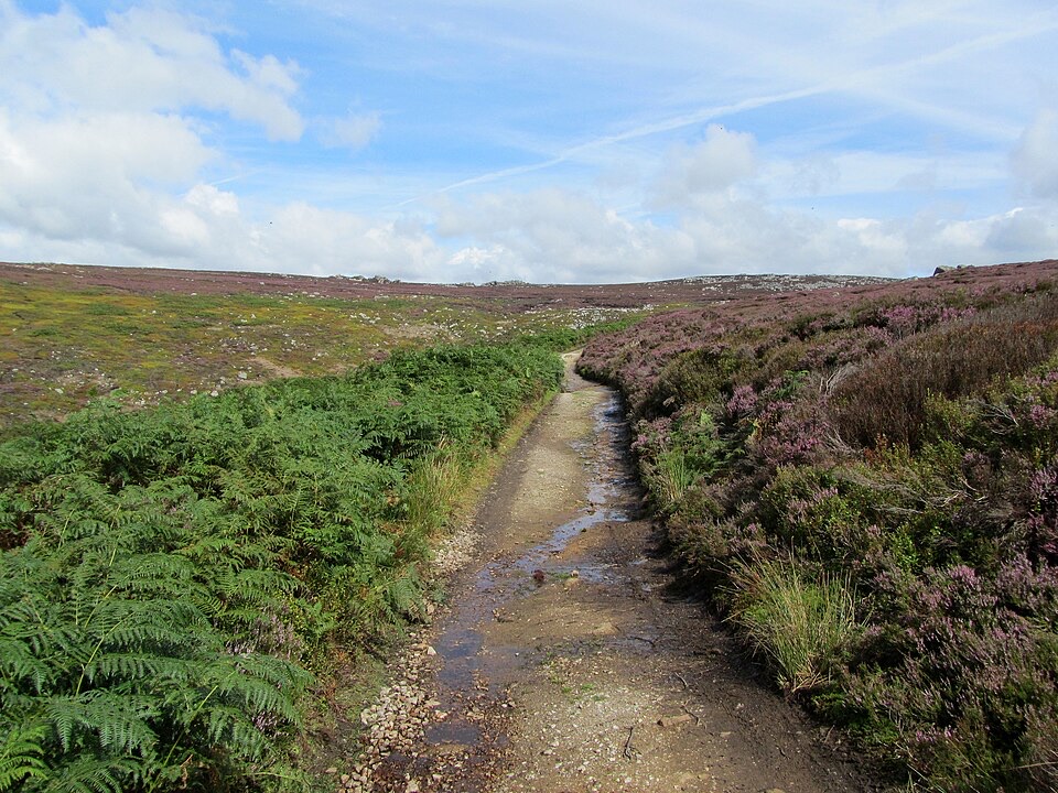 ChallengingSimon’s Seat and the Valley of Desolation13.3 km · 4.5 hr · 0.6 km awayWaterfall glen, open moor and a 485 m gritstone summit above Wharfedale
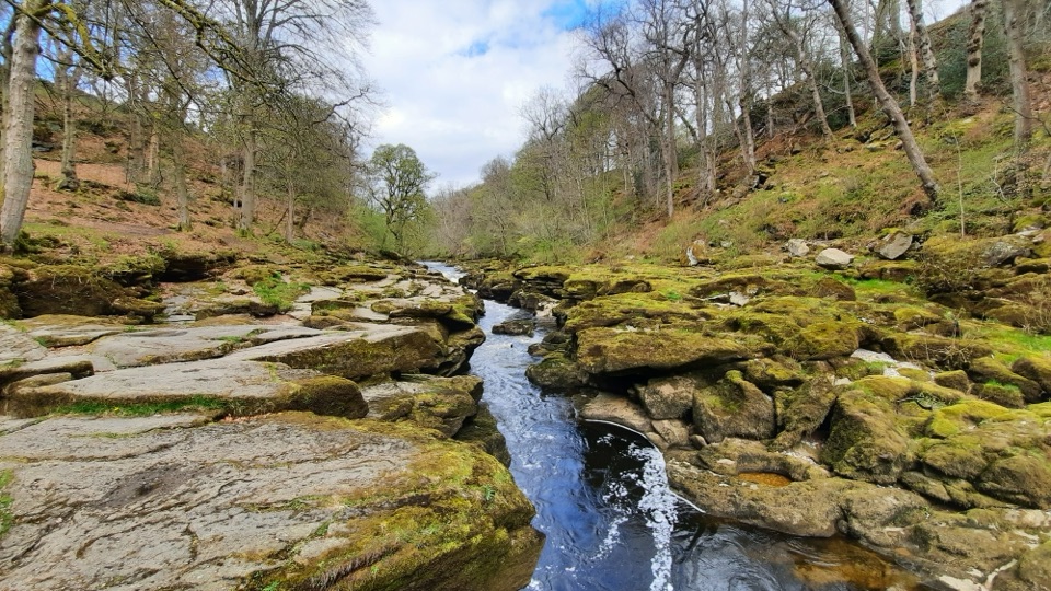 EasyBolton Abbey Accessible Walk3.5 km · 1.5 hr · 0.6 km awayCompact stone path through ancient oak woodland to the dangerous Strid
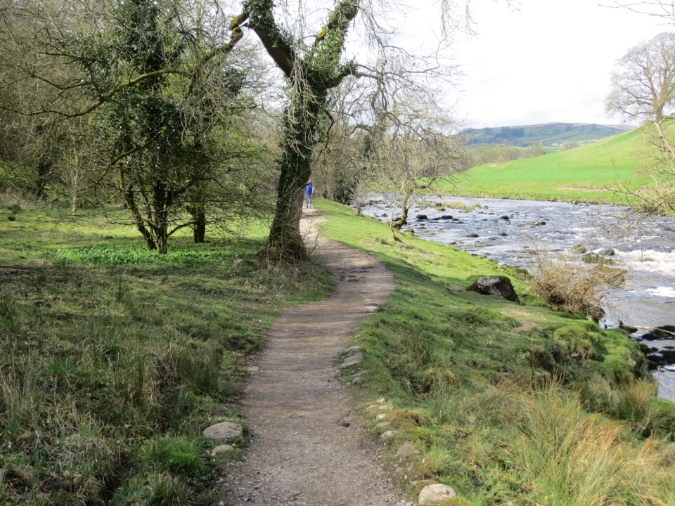 ModerateDales Way128.7 km · 1.8 days · 7.4 km awayEighty miles of riverside dales, high watershed and a Windermere finish
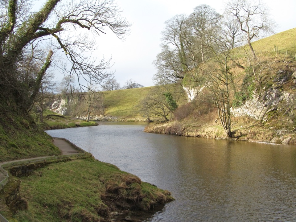 EasyBurnsall Accessible Walk1.4 km · 1 hr · 7.9 km awaySmooth, level riverside walk to Loup Scar, with two kissing gates
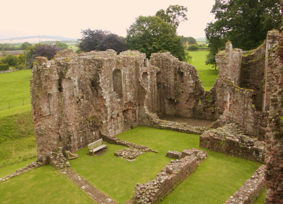 ChallengingLady Anne’s Way160.1 km · 2 days · 9.3 km awaySix days of castles, moorland and Eden Valley miles, Skipton to Penrith
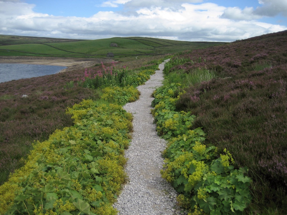 ModerateGrimwith Reservoir Accessible Walk5.6 km · 2 hr · 9.4 km awayWide shoreline track to open water, wildfowl and fell views, no stiles
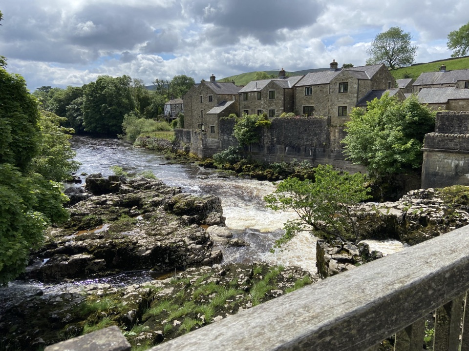 ModerateGrassington Accessible Walk2.1 km · 1 hr · 11.8 km awayWalled lane and riverside loop to the falls, with short steep pitches
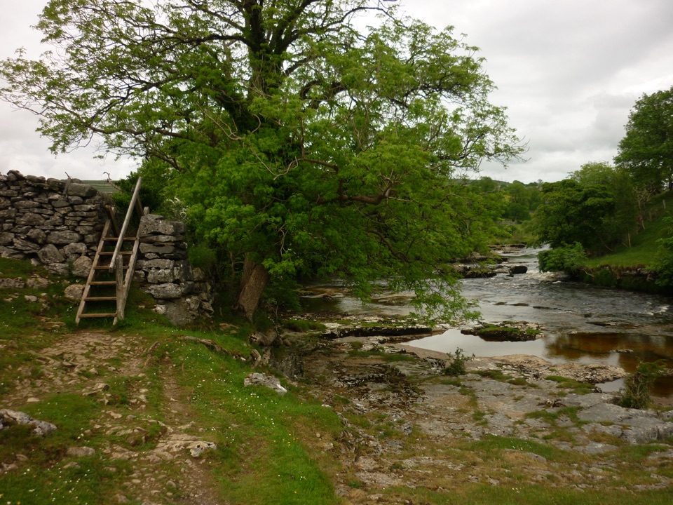 ModerateGrass Wood Circular7.2 km · 2.5 hr · 11.8 km awayRiver gorge, waterfall and limestone woodland in one Wharfedale loop
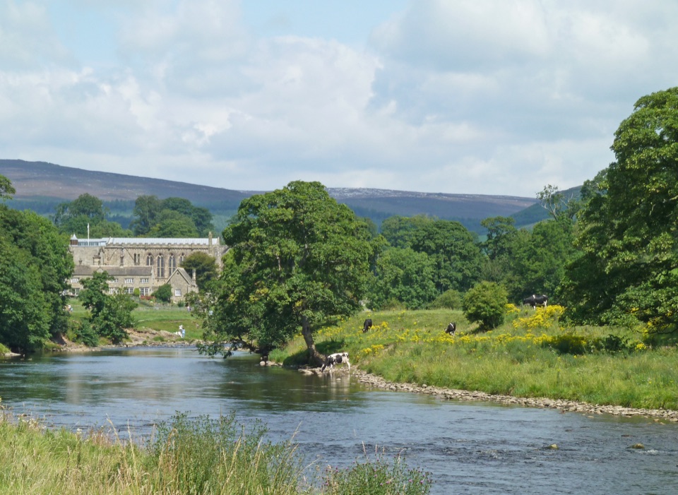 Sight · 0.8 km awayBolton AbbeyRiverside priory ruins, 62 stepping stones and the roaring Strid
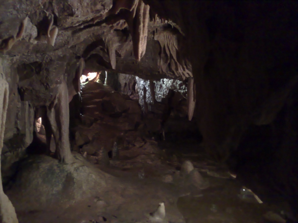 Sight · 8.8 km awayStump Cross CavernsHard hats, 65 steps and calcite that glows under UV torches
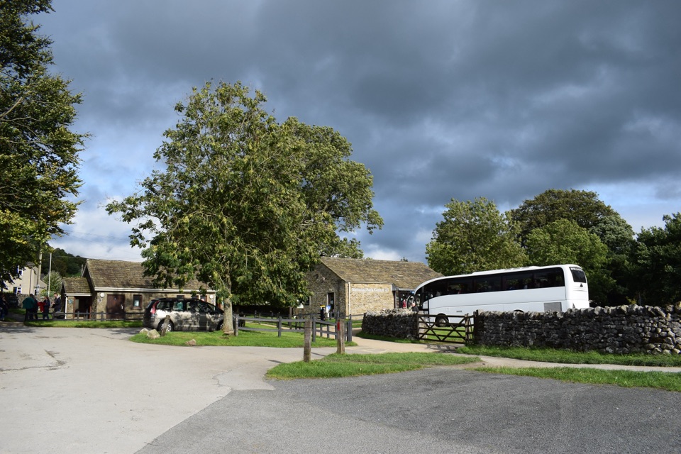 Visitor center · 11.8 km awayGrassington National Park CentrePark, plan, and walk to Linton Falls from Wharfedale's info hub
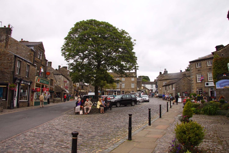 Sight · 12 km awayGrassingtonCobbled market square, stone cottages and riverside walks by the Wharfe
 Sight · 12 km awayGrassington Folk MuseumTwo miners' cottages packed with Upper Wharfedale's mining and daily life
Parkwolf’s Yorkshire Dales ranking
The audio tour guide for the drive, plus offline maps, trails, and wildlife heatmaps for when the signal drops.





