Parking
Use the small free parking area and roadside spaces on Bridge Brow beside Devil’s Bridge; if full, use a Kirkby Lonsdale car park and walk down to the bridge.
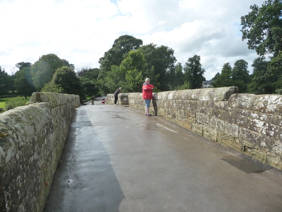
Yorkshire Dales National Park, EN
Three arches, riverside paths, 86 steep steps to Ruskin's View
Overview
Map & elevation
Plan your hike

The highest, rockiest slopes around here are a summer buffet for grizzly bears.
Yorkshire Dales Tour Guide
Parkwolf is a GPS audio tour guide for Yorkshire Dales National Park. As you drive, it chimes in with what’s ahead: hidden gems, upcoming stops, history, geology, and wildlife, right through your car’s speakers.
Recorded for this trailhead
Devil's Bridge and Ruskin's View“Up ahead is Devil's Bridge at Kirkby Lonsdale, its three medieval arches crossing the River Lune.”
Plays as you drive up to this trailhead in the Parkwolf Yorkshire Dales Tour Guide.
More stories near here in the app
“Fantastic app with many points of information… It’s great to just turn on while you’re driving and it gives you an audio tour of the national Park. We love it!!!!”


Trail guide
A 1.5 mile loop on the official route figure, starting and finishing by Devil's Bridge in Kirkby Lonsdale. Budget about an hour so you can linger at the bridge, the viewpoint and a few town streets. Easy overall, with one proper climb.
The distance is short and the walking is straightforward, so the steps are the part that decides how hard this feels. They are steep and come as a single sustained climb, which is fine at a slow pace but worth knowing about if stairs are an issue. The route source notes an avoidance option if you would rather skip them. Elsewhere, some paths are uneven and can be wet, so shoes with grip help. There is a riverside edge to be aware of with children, and the town section involves road walking and crossings.
There is a small free parking area and roadside space by Devil's Bridge on Bridge Brow, and it can fill quickly. If it is full, use one of the town car parks and walk down to the bridge to pick up the loop. Toilets and a refreshment van at the bridge area are listed by the route source, so treat them as a bonus rather than something to count on.
Ordinary dogs are welcome on the public rights of way here as long as they are under control. Use a short lead near livestock, around people on the busier bridge and town sections, and close to the river.
You are here for landmarks and views rather than wild country: a famous bridge, a famous viewpoint and a handsome market town, all packed into a compact circuit. If you want a longer stretch of countryside underfoot, the nearby valley walks in the wider Lune and dales country give you more miles and fewer streets.
Wildlife
 10 sightingsEurasian OtterMost seen around 7 PMSighting map
 11 sightingsAtlantic SalmonMost seen around 7 AMSighting map
 12 sightingsShort-eared OwlMost seen around 7 PMSighting map
 22 sightingsWestern Barn OwlMost seen around 6 AMSighting map
 27 sightingsTawny OwlMost seen around 7 PMSighting map
 34 sightingsCommon KingfisherMost seen around 7 AMSighting map
Sighting maps show where each species has been reported across Yorkshire Dales. Wildlife moves, so no sighting is guaranteed.
Keep exploring
 ModerateIngleton Waterfalls Trail6.9 km · 3 hr · 9.3 km awayTicketed 4.3-mile loop past Thornton Force through two wooded gorges
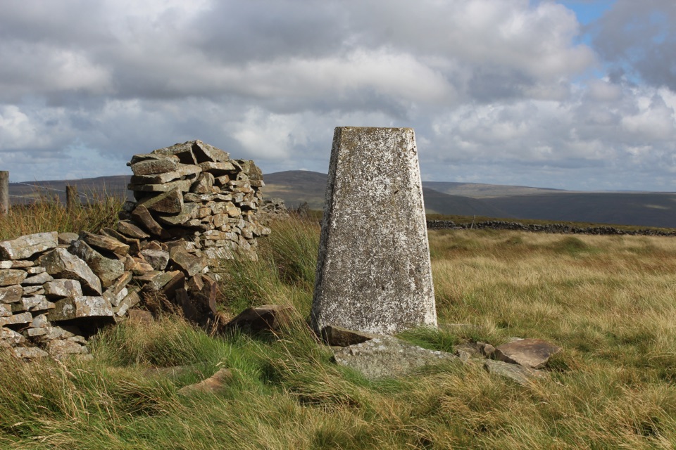 ModerateAye Gill Pike from Dent10.1 km · 3.5 hr · 12.6 km awayQuiet ridge climb above Dentdale to a trig point with big views
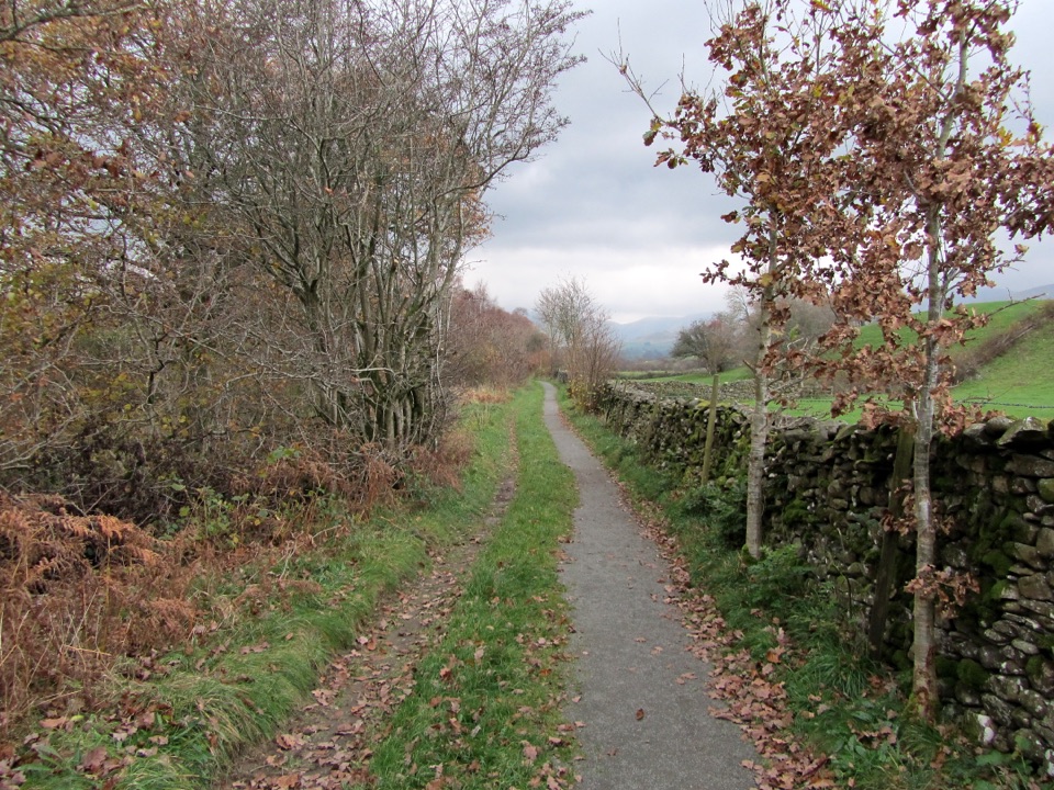 EasyKillington New Bridge Accessible Walk1.2 km · 45 min · 12.6 km awaySmooth, level path beside the River Lune to a riverside viewing platform
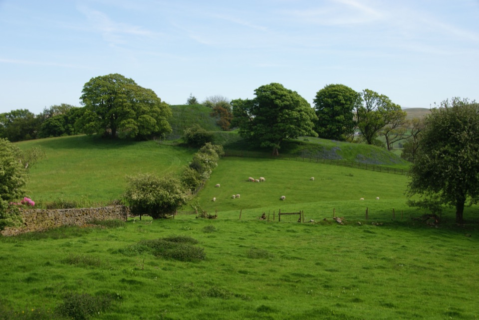 ModerateSedbergh to Stone Hall2.9 km · 1.3 hr · 14.6 km awayA compact field-and-lane loop from Sedbergh with castle mound views
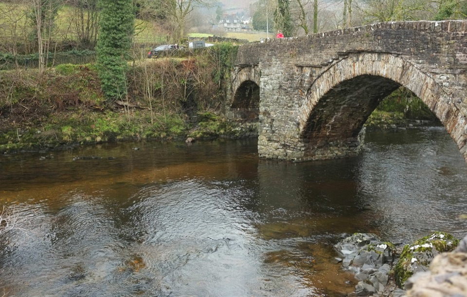 EasySedbergh and Millthrop4 km · 1.3 hr · 14.6 km awayRiverside loop to Millthrop Bridge, then field paths and Akay Wood
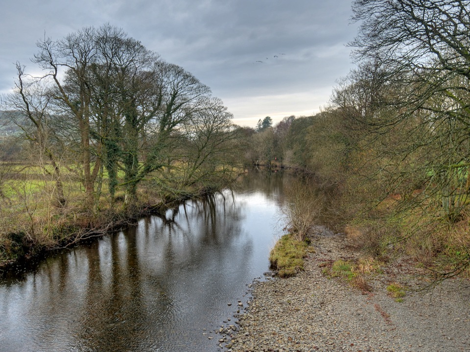 ModerateRiver Rawthey Accessible Walk2.5 km · 1.3 hr · 14.6 km awayTown pavements to a wooded riverbank, herons, dippers and picnic benches
 ChallengingWhernside Circular12.6 km · 4.5 hr · 15 km awaySteep ridge loop from Ribblehead Viaduct to a 736 m fell summit
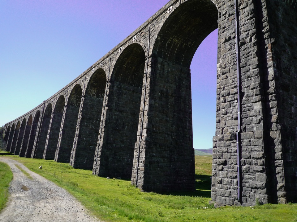 EasyRibblehead Audio Trail2.4 km · 1.5 hr · 15.1 km awayShort audio loop through navvy camps and lime kilns beneath the viaduct
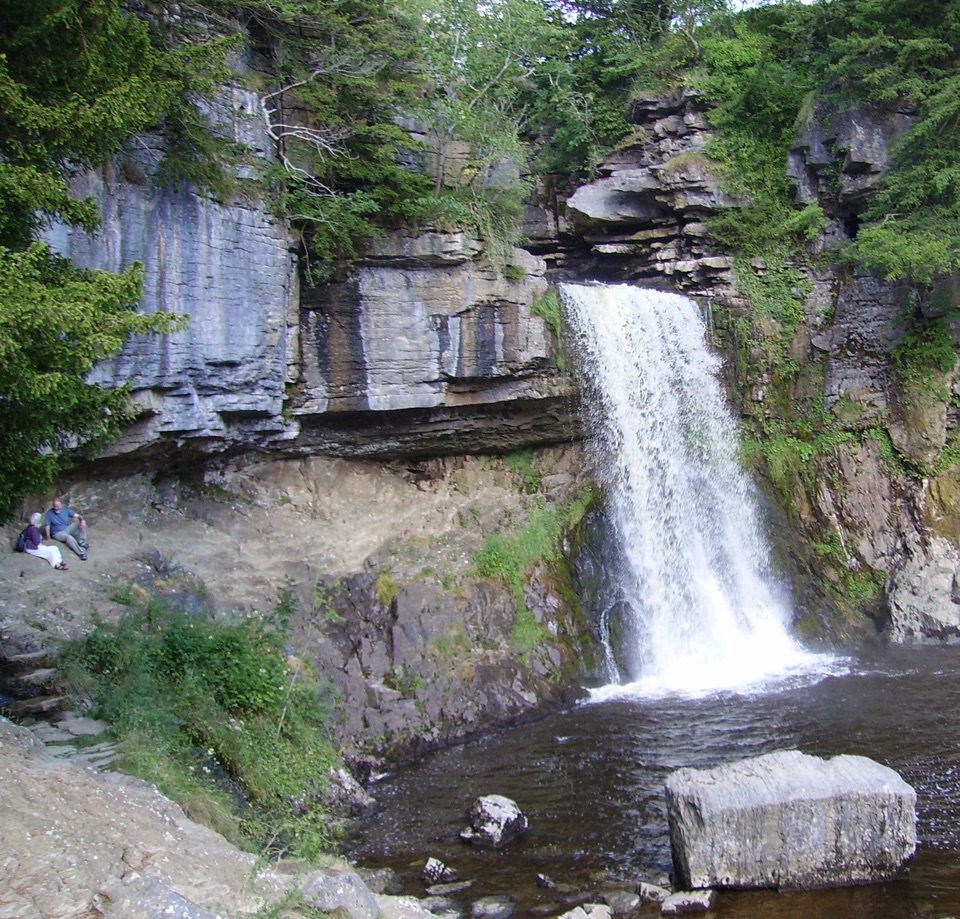 Sight · 8.5 km awayThornton ForceWater drops over 170 million years of missing geological time
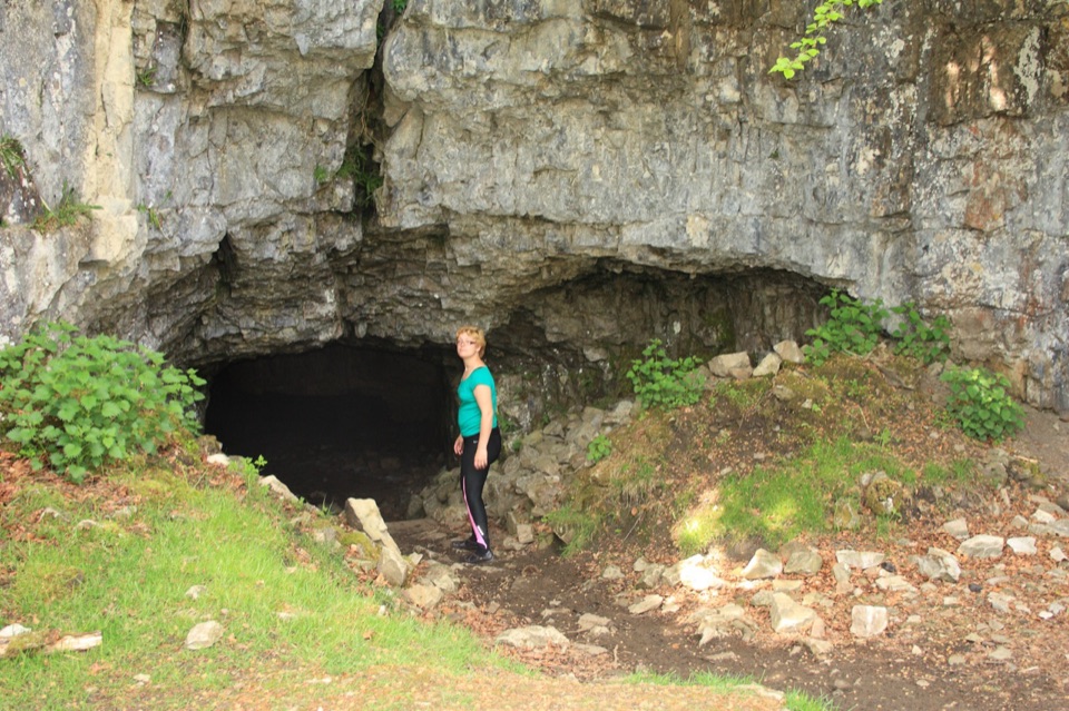 Sight · 9.1 km awayYordas CaveOld steps, a dark chamber and a hidden underground waterfall
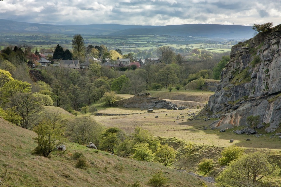 Sight · 9.5 km awayIngletonLimestone base camp for Three Peaks walks, caves and waterfalls
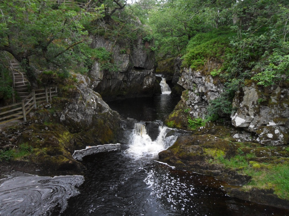 Sight · 9.7 km awayBeezley FallsCascades and Triple Spout on the River Doe in oak woodland
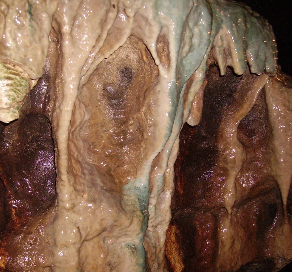 Sight · 10.4 km awayWhite Scar CaveBritain's longest show cave: a guided mile of waterfalls and stalactites
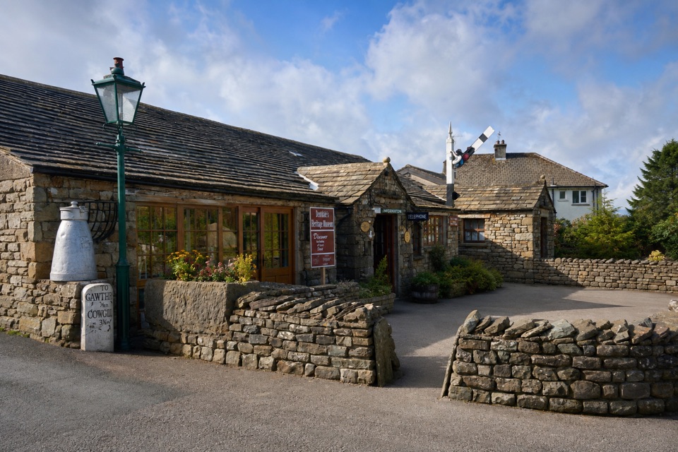 Sight · 12.5 km awayDent Village Heritage Centre & MuseumDales farm life, terrible knitters and a penny farthing indoors
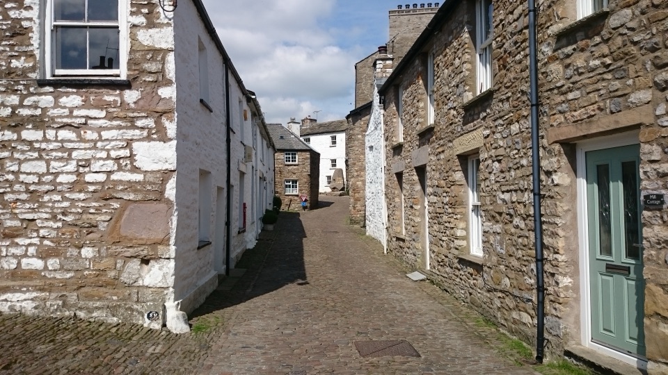 Sight · 12.6 km awayDentCobbled lanes, whitewashed cottages and Norman stonework deep in Dentdale
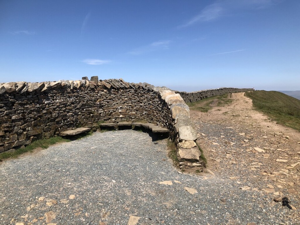 Sight · 12.7 km awayWhernside SummitWhernside Summit: 736 m of ridge walking above Ribblehead
Parkwolf’s Yorkshire Dales ranking

The audio tour guide for the drive, plus offline maps, trails, and wildlife heatmaps for when the signal drops.



