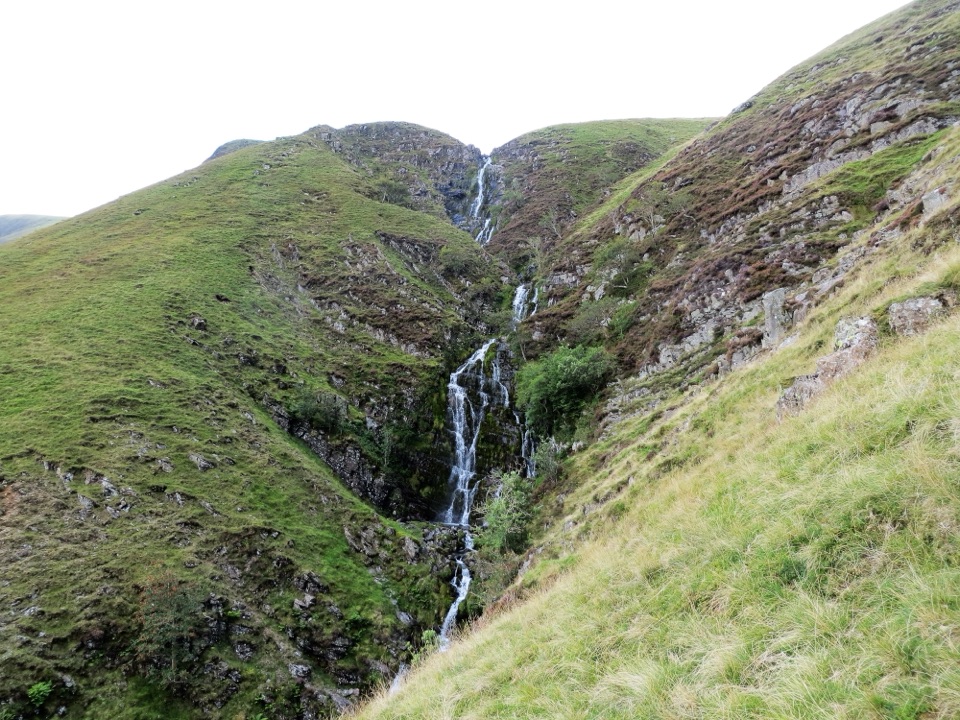
Parking
Small off-road roadside parking area beside the B6260 near NY632107; no formal facilities at the access.
Yorkshire Dales National Park, EN
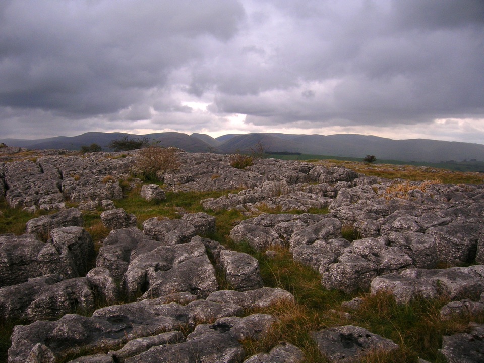
Limestone pavement, a Romano-British fort, and wide 412 m summit views
Overview
This is a loop of 8.6 miles / 14 km, the total circular visitor distance, starting and finishing at the same roadside access on the B6260 near NY632107. Allow about 4 hours 50 minutes, or 4.5 to 5.5 hours at a typical walking pace, with roughly 850 ft / 258 m of ascent.
Map & elevation
Plan your hike

The highest, rockiest slopes around here are a summer buffet for grizzly bears.
Yorkshire Dales Tour Guide
Parkwolf is a GPS audio tour guide for Yorkshire Dales National Park. As you drive, it chimes in with what’s ahead: hidden gems, upcoming stops, history, geology, and wildlife, right through your car’s speakers.
Recorded for this trailhead
Great Asby Scar Walk“Up ahead is the B6260 access for Great Asby Scar, the start of a much longer walk than nearby Orton Scar. The eight-point-six-mile loop takes about five hours, crossing field paths before reaching open limestone.”
Plays as you drive up to this trailhead in the Parkwolf Yorkshire Dales Tour Guide.
More stories near here in the app
“Fantastic app with many points of information… It’s great to just turn on while you’re driving and it gives you an audio tour of the national Park. We love it!!!!”


Trail guide
The payoff builds slowly. Field paths and lanes come first, and the open limestone and the summit come in the second half, with views to the Howgills, the Lake District and the North Pennines.
Moderate rather than hard, but more demanding than a simple hill walk. Footing is mixed: grass, field paths, tracks, lanes, gates and stiles, plus long stretches of open limestone. The pavement, with its clints and grikes, is awkward underfoot and slippery when wet, so keep to defined paths across it. Cave openings and sinkholes are real hazards, and the high ground is open and exposed with little shelter.
Route finding across the open upland is part of the challenge. Walls, gates and bridleways are the main handrails, and a map and compass or GPS plus the ability to use them are sensible. Poor visibility makes the crossing between Castle Folds and The Knott harder to judge.
Great Asby Scar is high ground between Orton and Great Asby, protected as a National Nature Reserve for its limestone pavement and plant life. Castle Folds is a Romano-British fortified settlement set within the pavement, and The Knott gives the high point at 412 m.
Dogs are allowed on public rights of way but should be on a lead or under close control, especially near livestock, and on a short lead from March to July for ground-nesting birds. Bear in mind that pavement fissures, caves and sinkholes are dangerous for dogs. There are no formal facilities at the roadside trailhead. You can also start on foot from Orton for the fuller approach, or park beside the Orton to Appleby road for a head start.
The Orton Scar Walk is a shorter loop of about 4 miles with limestone pavement, a beacon and a stone circle. It is a separate, easier option rather than part of this route.
Wildlife
 10 sightingsEurasian OtterMost seen around 7 PMSighting map
 11 sightingsAtlantic SalmonMost seen around 7 AMSighting map
 12 sightingsShort-eared OwlMost seen around 7 PMSighting map
 22 sightingsWestern Barn OwlMost seen around 6 AMSighting map
 27 sightingsTawny OwlMost seen around 7 PMSighting map
 34 sightingsCommon KingfisherMost seen around 7 AMSighting map
Sighting maps show where each species has been reported across Yorkshire Dales. Wildlife moves, so no sighting is guaranteed.
Keep exploring
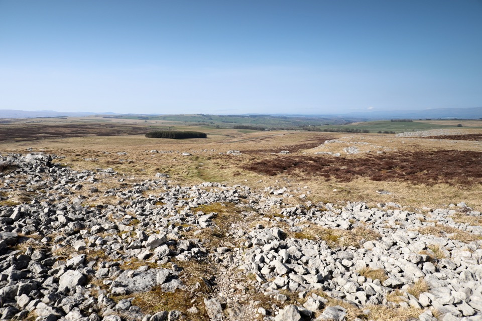 ModerateOrton Scar Walk6.4 km · 2.5 hr · 2.6 km awayLimestone pavement, a hilltop beacon and a stone circle in one loop
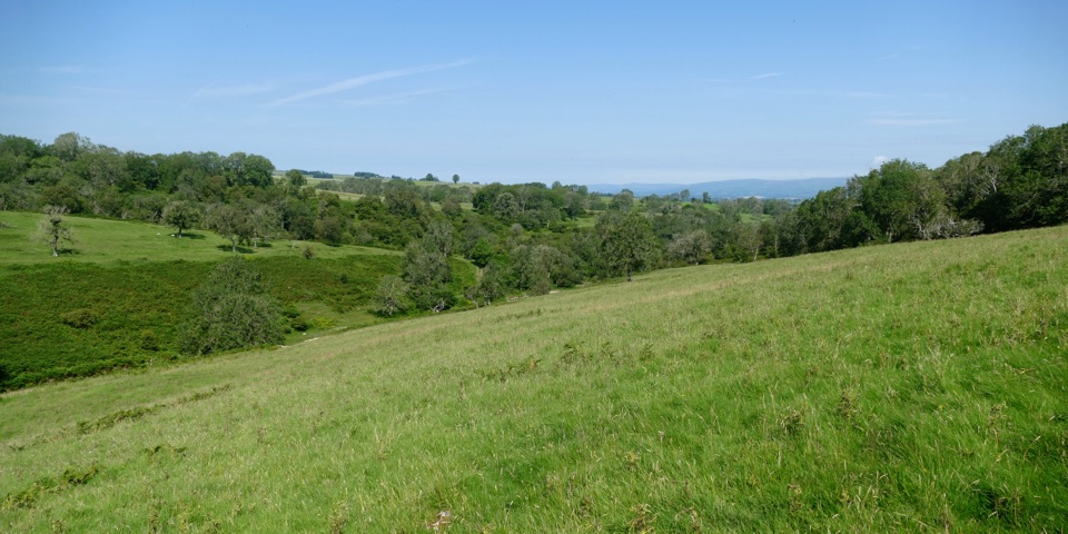 ModerateLyvennet Valley Walk9.7 km · 3.5 hr · 4.2 km awayLimestone valley loop past cairns, wells and an ancient settlement
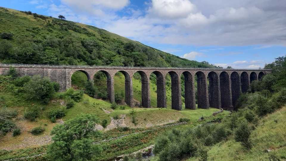 ModerateSmardale Gill Walk10.9 km · 4.5 hr · 11.2 km awayA 14-arch viaduct, beckside pasture and open fell in one figure-of-eight
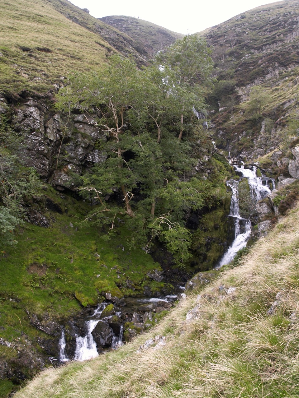 ChallengingCautley Spout and The Calf Circular8.4 km · 3.8 hr · 15.3 km awayClimb beside a spectacular waterfall to the Howgill Fells' highest summit
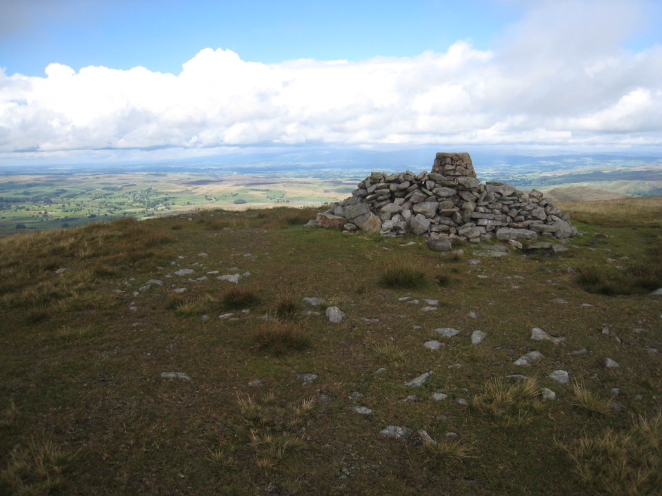 ChallengingWild Boar Fell16.1 km · 5 hr · 18.2 km awayAiry 708 m plateau above Mallerstang, hidden tarn, waterfall finish
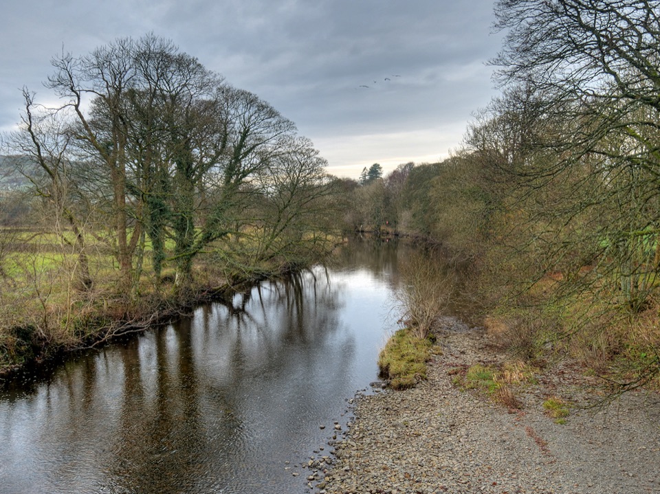 ModerateRiver Rawthey Accessible Walk2.5 km · 1.3 hr · 18.7 km awayTown pavements to a wooded riverbank, herons, dippers and picnic benches
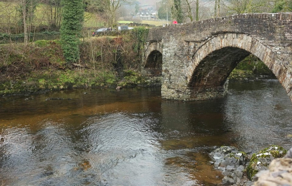 EasySedbergh and Millthrop4 km · 1.3 hr · 18.7 km awayRiverside loop to Millthrop Bridge, then field paths and Akay Wood
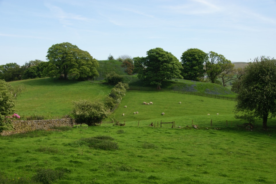 ModerateSedbergh to Stone Hall2.9 km · 1.3 hr · 18.7 km awayA compact field-and-lane loop from Sedbergh with castle mound views
Parkwolf’s Yorkshire Dales ranking

The audio tour guide for the drive, plus offline maps, trails, and wildlife heatmaps for when the signal drops.