Orton Scar Walk in Yorkshire Dales National Park

Yorkshire Dales National Park, EN

Orton Scar Walk

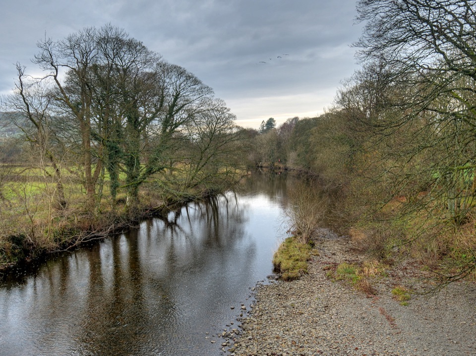
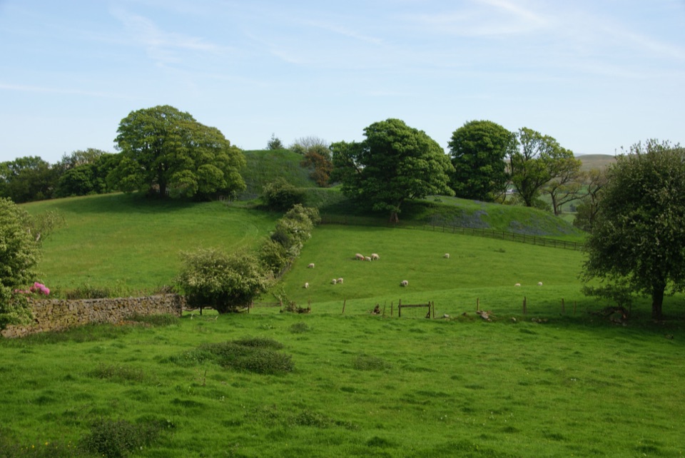
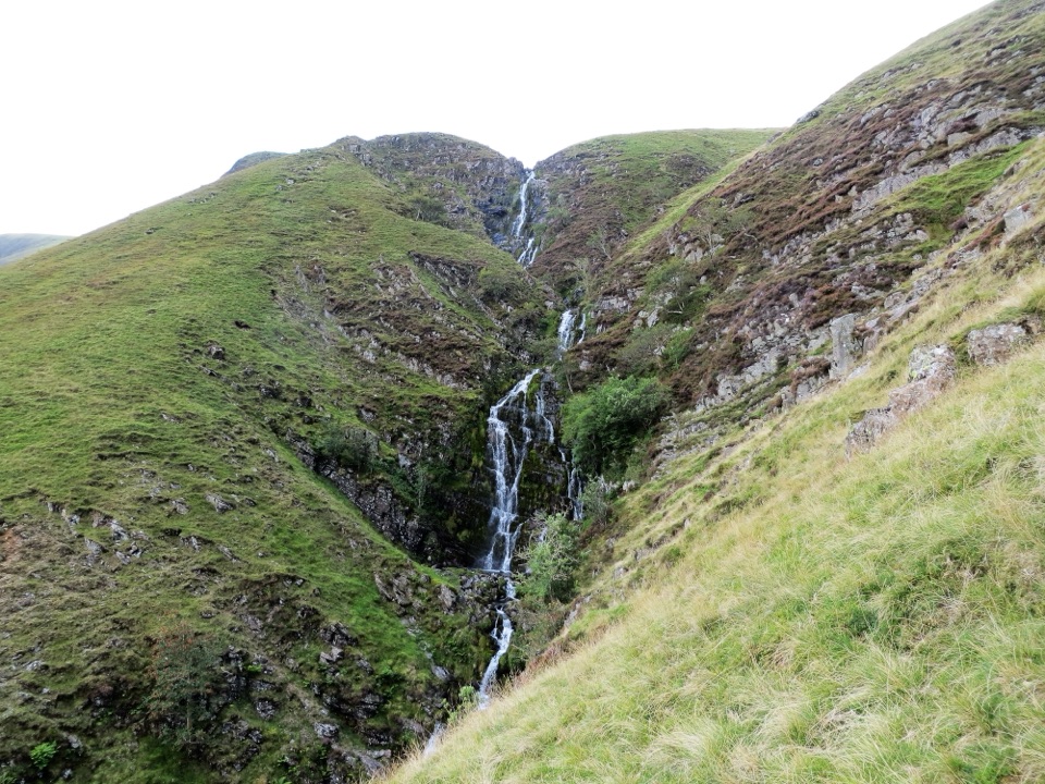
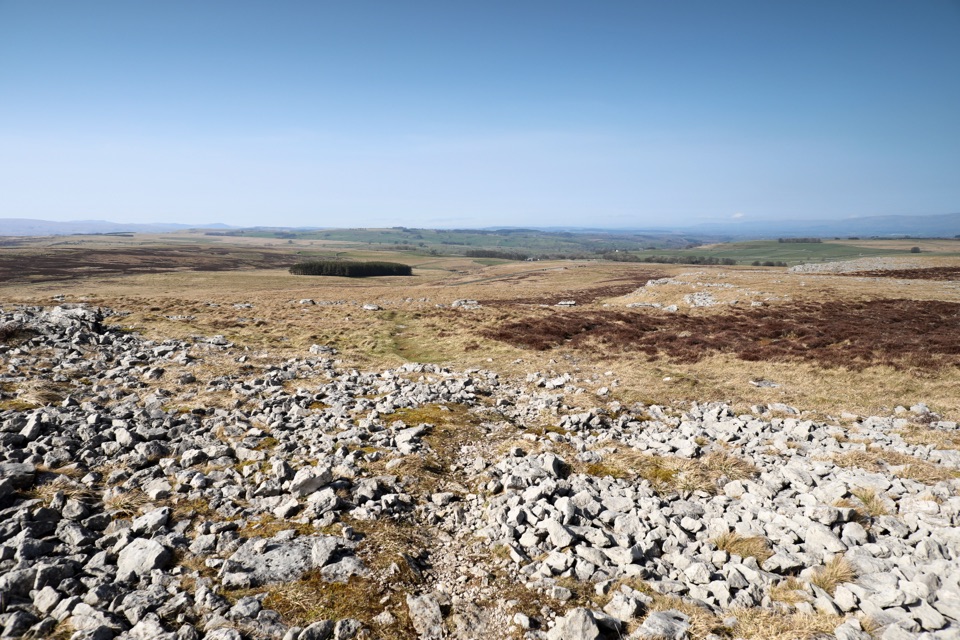
Limestone pavement, a hilltop beacon and a stone circle in one loop

Photo: Wikimedia Commons
Length
6.4km
Time
2.5hr
Elev. change
143m
Difficulty
Moderate
  • Loop
  • Dogs allowed
  • High point 379 m
  • #44 of 99 in Yorkshire Dales

Hear the audio tour

Orton Scar Walk

Overview

About Orton Scar Walk

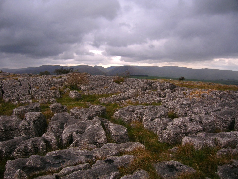
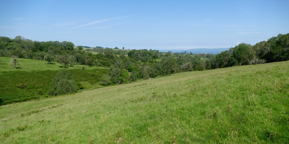
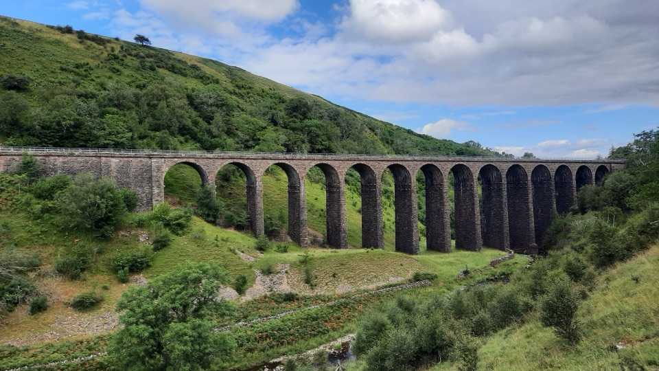
This 4-mile circular walk from Orton takes in limestone pavement on Orton Scar, the Jubilee Beacon Monument on Beacon Hill, Great Asby Common and Gamelands Stone Circle before returning through fields and lanes. The 4 miles is the full circuit, not a one-way figure; allow 2 to 3 hours. The main effort is the climb to the scar, with the rest mixing village lanes, bridleways, fell tracks, field paths and a short road section. Wet ground, gates, stiles and livestock fields are part of the deal, but the open high ground gives the walk its wide views. Great Asby Scar National Nature Reserve is an optional detour rather than part of this stored circuit.

Why go

  • Limestone pavement and wide fell views
  • Beacon Monument and Gamelands Stone Circle
  • A compact introduction to the Westmorland Dales

Heads up

  • Wet or muddy sections and uneven limestone
  • Open ground can feel exposed in poor weather
  • Gates, stiles, livestock fields and some road walking

Map & elevation

The route

Loading the Yorkshire Dales map
Full map
Elevation236–379 m
TrailheadOrton Market Hall54.46809, -2.58416
Keep this map with you offline in the Parkwolf app

Plan your hike

Before you go

Parking

Start at the information board outside Orton Market Hall, opposite the chocolate factory. A small car park is next to the chocolate factory and market hall, with some street parking in the village. Orton also has a shop, public toilet, hotel, café and chocolate-factory tearoom.


Safety

Expect a moderate climb to Orton Scar, wet ground in places, uneven limestone pavement, gates and stone stiles. Keep dogs on a lead around livestock and use extra care on the short road sections and exposed fell.

1 active Yorkshire Dales alert

  • ClosureTemporary closures on public rights of wayAvoid the listed sections of public rights of way while their temporary closures or pedestrian prohibition are in force. - Public Bridleway No. 52 (05.Official details
Yorkshire Dales alerts
A park ranger sits on a dash-mounted phone, talking, as Parkwolf’s Tour Guide plays “Army Cutworm Moths: A Grizzly Bear Buffet” on Grand Loop Road below Dunraven Pass in Yellowstone
Parkwolf Tour GuideThe highest, rockiest slopes around here are a summer buffet for grizzly bears.

Yorkshire Dales Tour Guide

Your drive to Orton Scar Walk, narrated.

Parkwolf is a GPS audio tour guide for Yorkshire Dales National Park. As you drive, it chimes in with what’s ahead: hidden gems, upcoming stops, history, geology, and wildlife, right through your car’s speakers.

Recorded for this trailhead

Orton Scar Walk
0:00 / 0:25
“You're approaching Orton, the start of the Orton Scar Walk. This four-mile loop climbs to open limestone pavement, then links a hilltop beacon and Gamelands Stone Circle before returning through fields and lanes.”

Plays as you drive up to this trailhead in the Parkwolf Yorkshire Dales Tour Guide.

More stories near here in the app

  • The Hidden Bank at Gamelands
  • Great Asby Scar Walk
  • Orton's Concorde Chocolates
  • The Flower Called Bog Hop
  • 298 audio storiesacross Yorkshire Dales’s roads, triggered by GPS as you drive
  • Wildlife heatmapsfor Eurasian Otter, Atlantic Salmon, Short-eared Owl, and 13 more
  • Works offlinemaps, 99 trails, 63 places, and audio download before you lose signal
  • CarPlay readysimple controls built for the drive
★★★★★
“Fantastic app with many points of information… It’s great to just turn on while you’re driving and it gives you an audio tour of the national Park. We love it!!!!”
JMJamesApp Store review
Download Parkwolf on the App StoreGet Parkwolf on Google Play

4.7 from 8,600+ ratings

Wildlife

Wildlife in Yorkshire Dales

All Yorkshire Dales wildlife maps

Sighting maps show where each species has been reported across Yorkshire Dales. Wildlife moves, so no sighting is guaranteed.

Parkwolf’s Yorkshire Dales ranking

Top-rated trails in Yorkshire Dales

All 99 trails
  1. 1Yorkshire Three Peaks CircularChallenging · 38.6 km
  2. 2Malham Landscape TrailModerate · 7.2 km
  3. 3Ingleton Waterfalls TrailModerate · 6.9 km
  4. 4Pen-y-ghent CircularModerate · 9.7 km
  5. 5Ingleborough from ClaphamChallenging · 16.1 km
  6. 6Whernside CircularChallenging · 12.6 km

Take Parkwolf to Yorkshire Dales.

The audio tour guide for the drive, plus offline maps, trails, and wildlife heatmaps for when the signal drops.

4.7 from 8,600+ ratings

Download Parkwolf on the App StoreGet Parkwolf on Google Play