Parking
Small parking area in Crosby Ravensworth opposite the village hall, between the telephone box and bus shelter.
Yorkshire Dales National Park, EN
Limestone valley loop past cairns, wells and an ancient settlement
Overview
Map & elevation
Plan your hike

The highest, rockiest slopes around here are a summer buffet for grizzly bears.
Yorkshire Dales Tour Guide
Parkwolf is a GPS audio tour guide for Yorkshire Dales National Park. As you drive, it chimes in with what’s ahead: hidden gems, upcoming stops, history, geology, and wildlife, right through your car’s speakers.
Recorded for this trailhead
Lyvennet Valley Walk“You're approaching Crosby Ravensworth, the start of the Lyvennet Valley Walk.”
Plays as you drive up to this trailhead in the Parkwolf Yorkshire Dales Tour Guide.
More stories near here in the app
“Fantastic app with many points of information… It’s great to just turn on while you’re driving and it gives you an audio tour of the national Park. We love it!!!!”


Trail guide
A closed loop of 6 miles (9.5 km), measured as the full circuit back to the start in Crosby Ravensworth. Allow 3 to 4 hours, with about 3.5 hours a fair point estimate. Difficulty is medium.
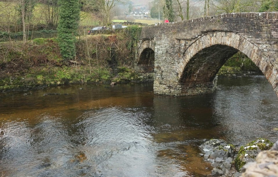
The walk begins at the village bus shelter and information point. Leave the village past St Lawrence's church on the footpath for Holme Bridge, cross the beck and bridge, then follow the signed path toward Crosby Lodge. From there the route crosses the River Lyvennet on footbridges and continues on tracks and field paths into the upper valley, skirting Crosby Gill nature reserve and a deer park wall. The return passes the King's Well, the Wicker Street cairn and the Ewe Locks Settlement, then follows the road back to the village.
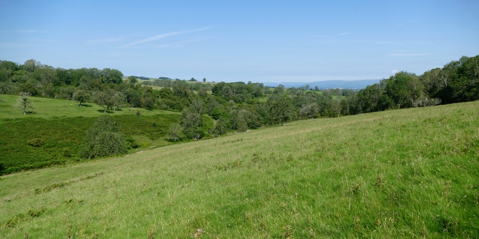
This is limestone grassland with scattered birch and ash woodland, opening out as the path climbs onto Crosby Ravensworth Common. The Lyvennet itself is a limestone-fed tributary, and the valley is known botanically for plants such as bird's-eye primrose and grass-of-Parnassus. Ewe Locks Settlement is a Romano-British native settlement and farmstead with medieval shielings nearby.
The climb onto the common is gradual rather than steep. The work is in the surface and the route-finding rather than the gradient:
Carry a map and be confident reading it if visibility is uncertain.
There is a small parking area in Crosby Ravensworth opposite the village hall, between the telephone box and the bus shelter. The village has a pub, so plan to carry what you need for the circuit.
The walk follows public rights of way, including paths through fields with livestock, so keep dogs on a lead around stock. From March through July, keep dogs on a short lead to protect ground-nesting birds. Much of the land is privately owned and grazed, so stay on the rights of way and close gates behind you.
The King Charles II monument is not part of the stored loop. It is a separate there-and-back diversion of about three quarters of a mile, added on top of the 6 mile figure. Navigation on the open ground can be tricky in poor conditions, so treat it as an extra for a clear day.
The payoff is varied valley walking with historic and natural interest. The main loop has wet ground in places, field paths with livestock and route-finding that needs care in poor conditions, and the monument spur remains an optional there-and-back addition rather than part of the circuit.
Wildlife
 10 sightingsEurasian OtterMost seen around 7 PMSighting map
 11 sightingsAtlantic SalmonMost seen around 7 AMSighting map
 12 sightingsShort-eared OwlMost seen around 7 PMSighting map
 22 sightingsWestern Barn OwlMost seen around 6 AMSighting map
 27 sightingsTawny OwlMost seen around 7 PMSighting map
 34 sightingsCommon KingfisherMost seen around 7 AMSighting map
Sighting maps show where each species has been reported across Yorkshire Dales. Wildlife moves, so no sighting is guaranteed.
Keep exploring
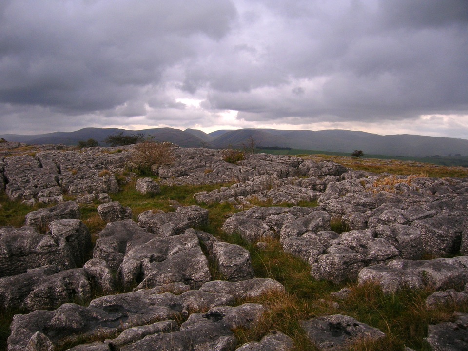 ModerateGreat Asby Scar Walk13.8 km · 4.8 hr · 4.2 km awayLimestone pavement, a Romano-British fort, and wide 412 m summit views
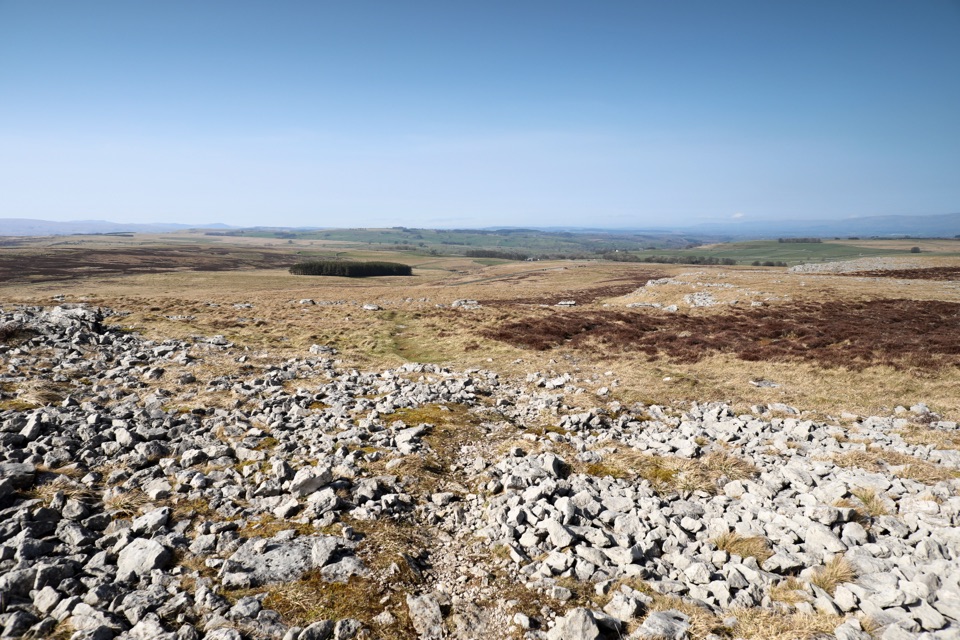 ModerateOrton Scar Walk6.4 km · 2.5 hr · 6.5 km awayLimestone pavement, a hilltop beacon and a stone circle in one loop
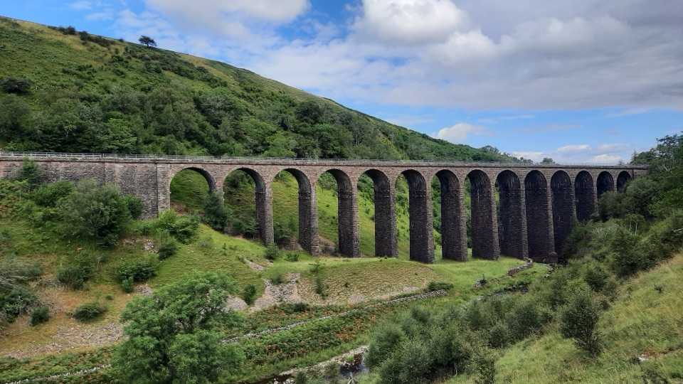 ModerateSmardale Gill Walk10.9 km · 4.5 hr · 14.7 km awayA 14-arch viaduct, beckside pasture and open fell in one figure-of-eight
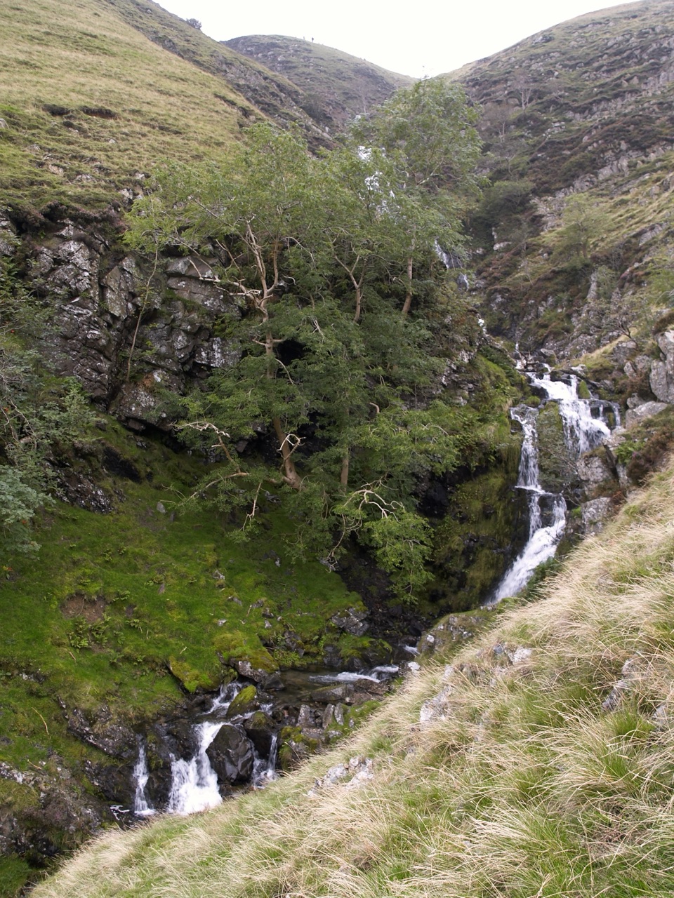 ChallengingCautley Spout and The Calf Circular8.4 km · 3.8 hr · 19.4 km awayClimb beside a spectacular waterfall to the Howgill Fells' highest summit
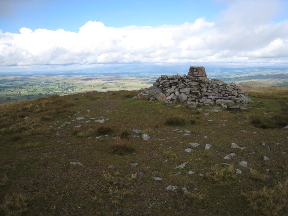 ChallengingWild Boar Fell16.1 km · 5 hr · 21.6 km awayAiry 708 m plateau above Mallerstang, hidden tarn, waterfall finish
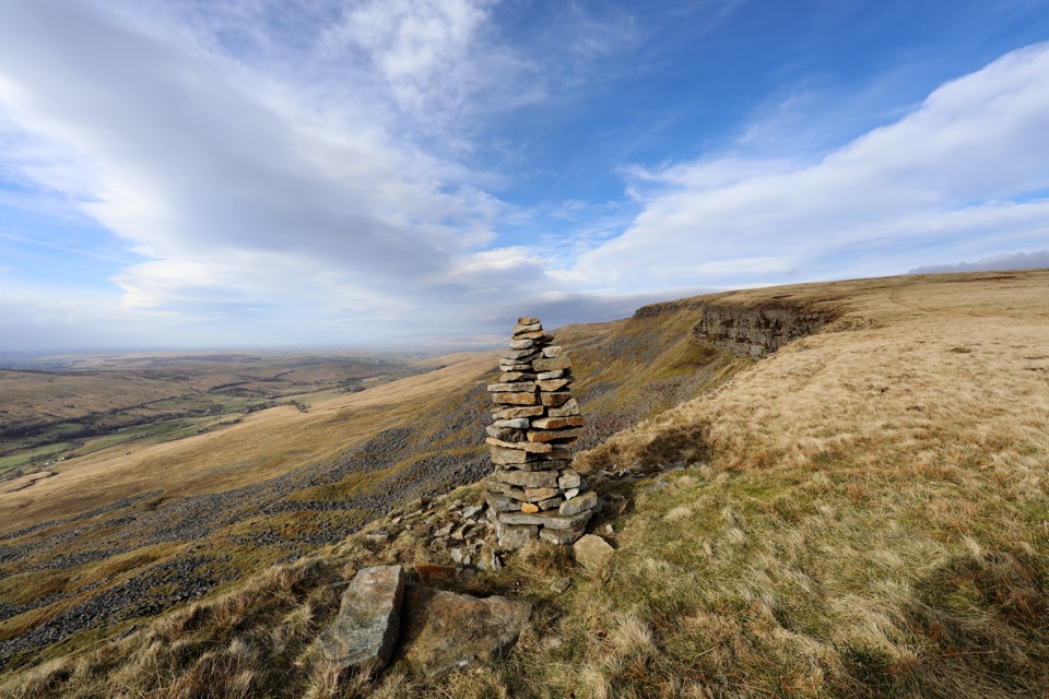 ModerateMallerstang Edge and High Seat Circular11.5 km · 4.5 hr · 22 km awayOpen-moor climb to a broad escarpment, then a steep pathless gill descent
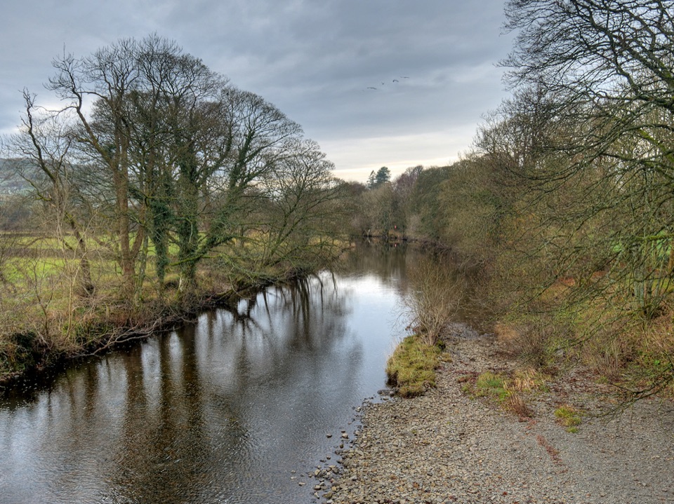 ModerateRiver Rawthey Accessible Walk2.5 km · 1.3 hr · 22.9 km awayTown pavements to a wooded riverbank, herons, dippers and picnic benches
 EasySedbergh and Millthrop4 km · 1.3 hr · 22.9 km awayRiverside loop to Millthrop Bridge, then field paths and Akay Wood
Parkwolf’s Yorkshire Dales ranking

The audio tour guide for the drive, plus offline maps, trails, and wildlife heatmaps for when the signal drops.





