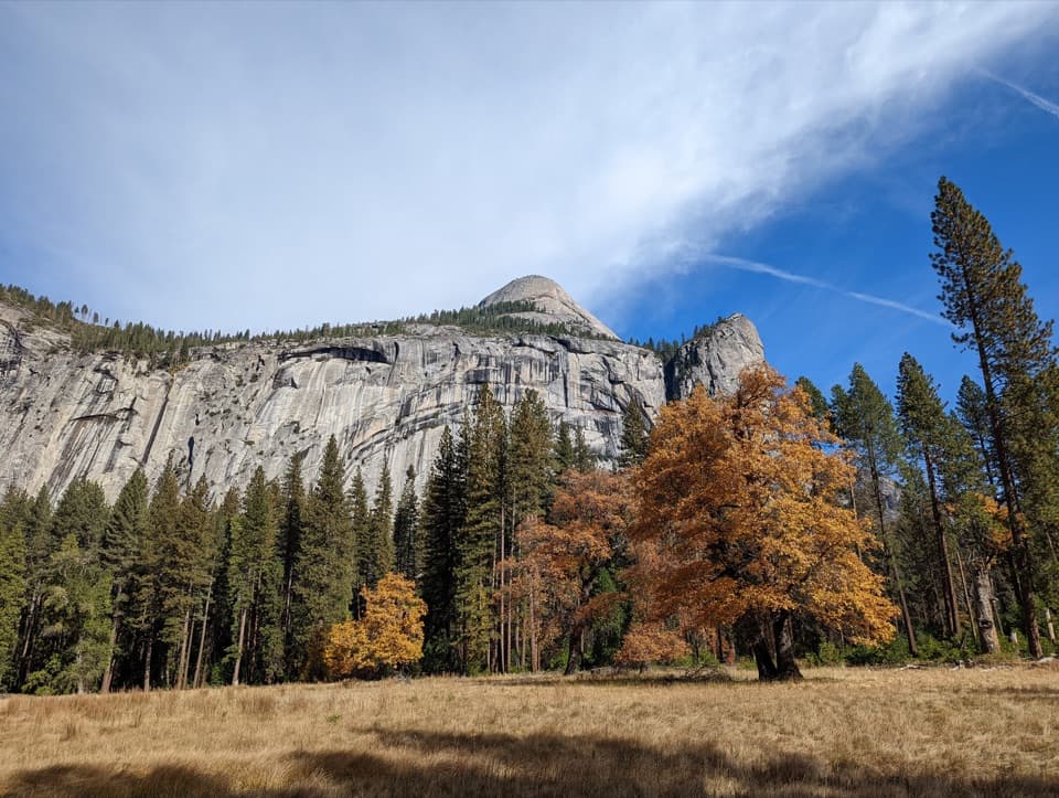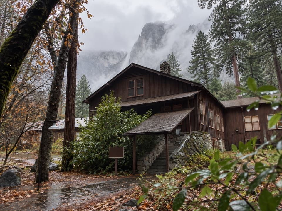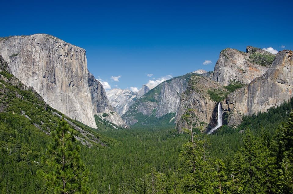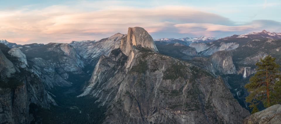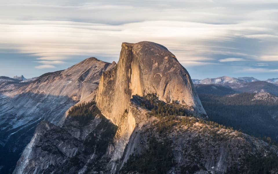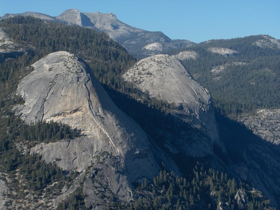
North Dome in Yosemite National Park

Sight · Yosemite National Park

North Dome

A long summit walk pays off with Half Dome face-on.

Photo: Wikimedia Commons
Type
Sight
Nearest trail
1.2 mi
Audio stories
7 nearby
  • Trailhead
  • Parking
  • Restrooms
  • Scenic viewpoint

Hear the audio tour

North Dome from Porcupine Creek

Overview

About North Dome

Why stop

  • Half Dome's face-on view feels unusually close
  • Indian Rock adds a natural granite arch detour

Heads up

  • Long approach, rolling climbs and an exposed summit

Map

Where it is

Loading the Yosemite map
Full map
SightNorth Dome37.75687, -119.55989
Keep this map with you offline in the Parkwolf app

Plan your stop

Before you go

Plan the access and the extra stop

The usual approach starts at Porcupine Creek on Tioga Road. The lot has limited parking and a vault toilet; bring your food and water for the hike. Tioga Road is typically open from late May or early June through October or November, so the trailhead is seasonal. If you have energy left, Indian Rock is a short, steep 0.3-mile spur each way to a natural granite arch.

4 active Yosemite alerts

  • ClosureDome Fire closes Glacier Point Road and trailsGlacier Point Road is temporarily closed because Dome Fire smoke reduces visibility and to allow firefighting operations; some trails south of the road are also closed.Official details
  • CautionMist Trail access limited during October repairsThe Mist Trail between its John Muir Trail junction above the Vernal Fall footbridge and the top of Vernal Fall has limited access through October for repair work.Official details
See all 4 alerts
The Parkwolf Tour Guide on a dash-mounted phone, driving into Yosemite Valley

“You're coming up on Porcupine Creek Trailhead, the start of the North Dome hike. Choose this for a face-on view of Half Dome across Tenaya Canyon, with five to seven hours for the ten point four miles round trip.”

Yosemite Tour Guide

Yosemite, narrated.

Parkwolf is a GPS audio tour guide for Yosemite National Park. As you drive, it chimes in with what’s ahead: hidden gems, upcoming stops, history, geology, and wildlife, right through your car’s speakers.

See the Yosemite audio tour

Recorded for this place

North Dome from Porcupine Creek
0:00 / 0:22
“You're coming up on Porcupine Creek Trailhead, the start of the North Dome hike. Choose this for a face-on view of Half Dome across Tenaya Canyon, with five to seven hours for the ten point four miles round trip.”

Plays as you drive up to North Dome in the Parkwolf Yosemite Tour Guide.

More stories near here in the app

  • The Ahwahnee and Church Bowl
  • Mirror Lake
  • Curry Village and Stoneman Meadow
  • Happy Isles and Vernal Fall Footbridge
  • 125 audio storiesacross Yosemite’s roads, triggered by GPS as you drive
  • Wildlife heatmapsfor Black Bear, Peregrine Falcon, Mule Deer, and 13 more
  • Works offlinemaps, 141 trails, 99 places, and audio download before you lose signal
  • CarPlay readysimple controls built for the drive
★★★★★
“We just drove through Yosemite and it made our trip listening to this app as we drove through. Like having a tour guide in the car with you.”
Roddy 3210App Store review
Download Parkwolf on the App StoreGet Parkwolf on Google Play

4.7 from 8,600+ ratings

Guide

More about North Dome

Go for the face-on viewNorth Dome is a rounded granite summit above Tenaya Canyon, known for its unusually close,…

North Dome is a rounded granite summit above Tenaya Canyon, known for its unusually close, face-on view of Half Dome. The Porcupine Creek route is a 10.4-mile round trip; allow five to seven hours. Save it for a full hiking day, not a quick roadside stop. The long approach is worth it if seeing Half Dome from across the canyon is your goal.

The approach takes more work than the number suggestsMost of the route winds through forest before reaching open granite.

Most of the route winds through forest before reaching open granite. Near North Dome, the trail drops down steep rock steps to the base, then climbs the rounded summit. The listed return climb is only about 580 feet, but the trail rises and falls along the way, and you still have to climb back to the road. The summit is exposed, with steep drops toward Yosemite Valley and Tenaya Canyon; stay well back from the edges.

Half Dome and the canyon from the summitFrom the top, Half Dome fills the view across Tenaya Canyon, with Clouds Rest and Yosemite…

From the top, Half Dome fills the view across Tenaya Canyon, with Clouds Rest and Yosemite Valley in the wider panorama. For a photo, keep some of the canyon below Half Dome in the frame; it gives the view its depth and makes the gap between the two domes clear.

Why the granite is roundedYosemite's domes formed as erosion stripped away overlying rock.

Yosemite's domes formed as erosion stripped away overlying rock. With the pressure eased, outer sheets of granite peeled away in a process called exfoliation, leaving the smooth, rounded slabs that shape North Dome.

Wildlife

Wildlife in Yosemite

All Yosemite wildlife maps

Sighting maps show where each species has been reported across Yosemite. Wildlife moves, so no sighting is guaranteed.

Keep exploring

Near North Dome

See it all on the map

Trails nearby

More stops nearby

Parkwolf’s Yosemite ranking

Top sights in Yosemite

All 99 places
  1. 1Tunnel ViewSight
  2. 2Glacier PointSight
  3. 3Yosemite FallsSight
  4. 4Half DomeSight
  5. 5Bridalveil FallSight
  6. 6El Capitan MeadowSight

Take Parkwolf to Yosemite.

The audio tour guide for the drive, plus offline maps, trails, and wildlife heatmaps for when the signal drops.

4.7 from 8,600+ ratings

Download Parkwolf on the App StoreGet Parkwolf on Google Play