Parking
Start at the small Pothole Dome Parking area off Tioga Road at the west edge of Tuolumne Meadows.

Yosemite National Park, CA
A quick granite scramble with broad views of Tuolumne Meadows
Overview
Map & elevation
Plan your hike

“You're nearing Pothole Dome's trailhead, for a short climb above the west end of Tuolumne Meadows.”
Yosemite Tour Guide
Parkwolf is a GPS audio tour guide for Yosemite National Park. As you drive, it chimes in with what’s ahead: hidden gems, upcoming stops, history, geology, and wildlife, right through your car’s speakers.
See the Yosemite audio tourRecorded for this trailhead
Pothole Dome“You're nearing Pothole Dome's trailhead, for a short climb above the west end of Tuolumne Meadows.”
Plays as you drive up to this trailhead in the Parkwolf Yosemite Tour Guide.
More stories near here in the app
“We just drove through Yosemite and it made our trip listening to this app as we drove through. Like having a tour guide in the car with you.”


Trail guide
Pothole Dome Trail is a one-mile out-and-back from Pothole Dome Parking to the top, with about 200 feet of gain. A dirt path leads toward the dome before the last climb leaves the path for bare granite. Allow about 30 to 60 minutes. It’s a good choice when you want a quick high-country climb and a wide view across Tuolumne Meadows.
There isn’t one marked trail to the top. Above the path, hikers choose their own line across the granite and return the same way. The dome is a scramble, not a built staircase. Smooth rock can feel slippery when wet, so take your time and turn back if the line stops feeling comfortable.
From the summit, look east across Tuolumne Meadows and the river toward Lembert Dome. Unicorn Peak and Cockscomb rise to the south; Mount Hoffmann and Tuolumne Peak are to the west. Pothole-like depressions and crevices mark the granite, part of a landscape shaped by glaciers.
A separate 2.5-mile outing continues from the dome toward cascades on the Tuolumne River and returns along the meadow edge. It adds river scenery but is a different route; the one-mile summit hike turns back from the top. Keep the two mileage figures separate when you plan.
Start at Pothole Dome Parking on the west edge of Tuolumne Meadows, off Tioga Road. The road’s seasonal opening controls car access, so check its status before driving up. Dogs aren’t allowed on Yosemite hiking trails.
Wildlife
 732 sightingsBlack BearMost seen around 7 PMSighting map
 1,747 sightingsMule DeerMost seen around 6 PMSighting map
 332 sightingsCoyoteMost seen around 7 PMSighting map
 11 sightingsPeregrine FalconMost seen around 8 AMSighting map
 276 sightingsPikaMost seen around 8 AMSighting map
 677 sightingsYellow-bellied MarmotMost seen around 8 AMSighting map
Sighting maps show where each species has been reported across Yosemite. Wildlife moves, so no sighting is guaranteed.
Keep exploring
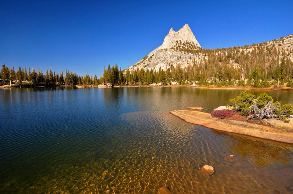 ModerateCathedral Lakes Trail9 mi · 7.5 hr · 1.1 mi awayTwo alpine lakes beneath Cathedral Peak reward a steady Sierra climb.
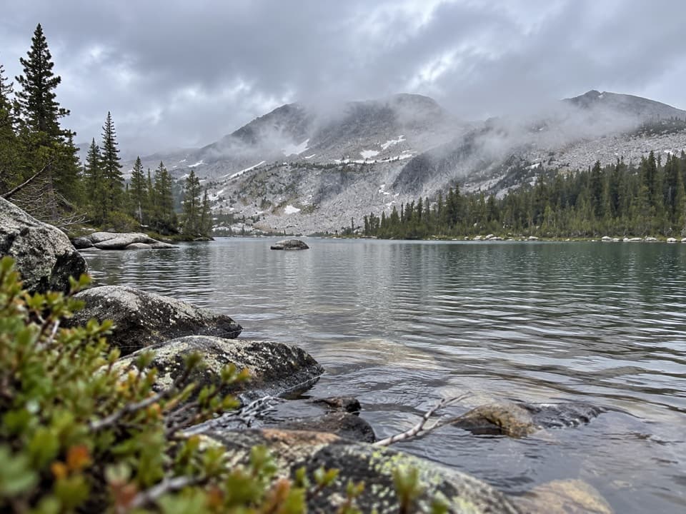 ChallengingMcCabe Lakes Trail29.6 mi · 18 hr · 1.5 mi awayA long Tuolumne Meadows out-and-back to McCabe’s alpine lake basin.
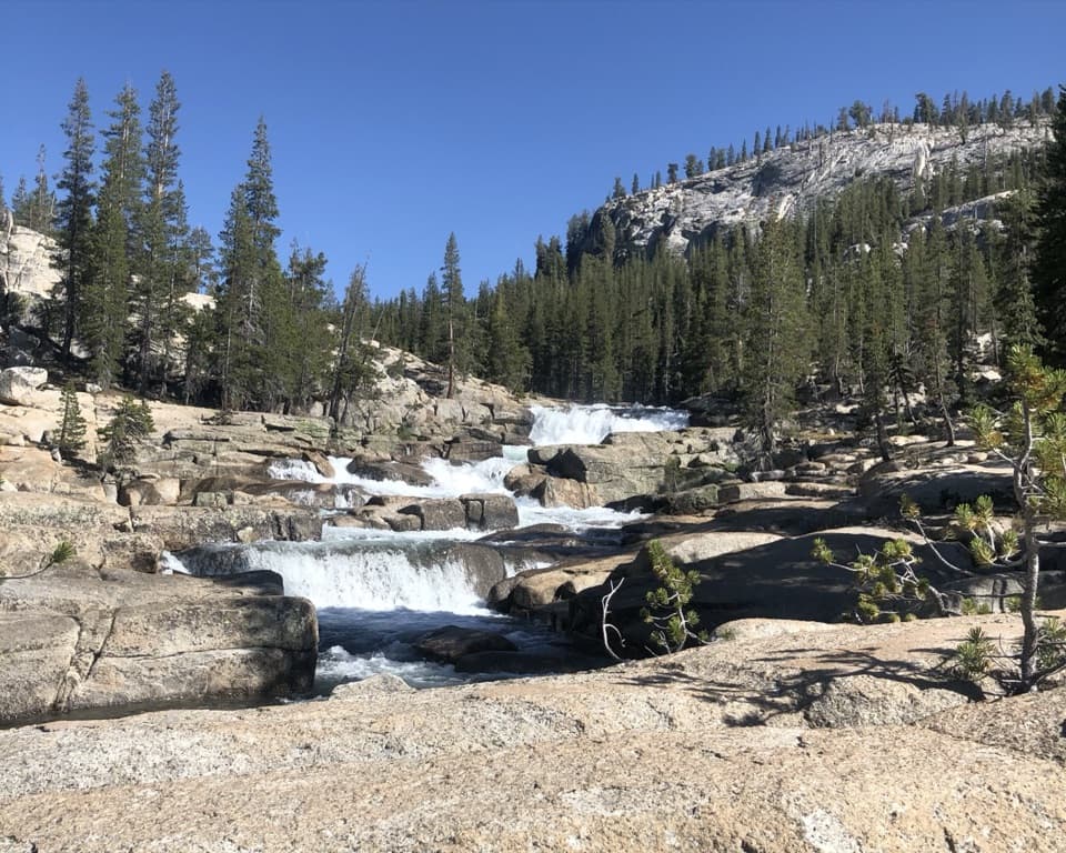 ChallengingGlen Aulin Trail11 mi · 8 hr · 2 mi awayAn 11-mile river walk to waterfalls at Glen Aulin.
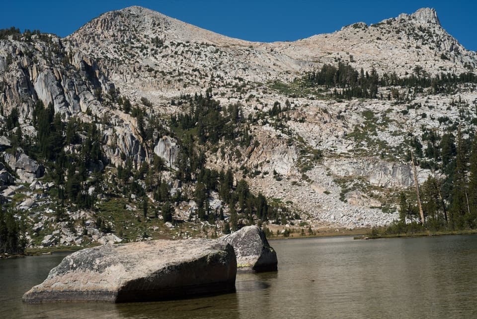 ModerateElizabeth Lake Trail4.8 mi · 5 hr · 2.2 mi awayA steady climb to a high lake below Unicorn Peak.
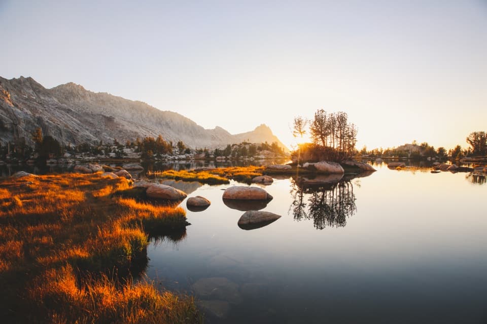 ChallengingYoung Lakes Trail13.6 mi · 9 hr · 2.2 mi awayA full-day walk through meadows and forest to high-country lakes.
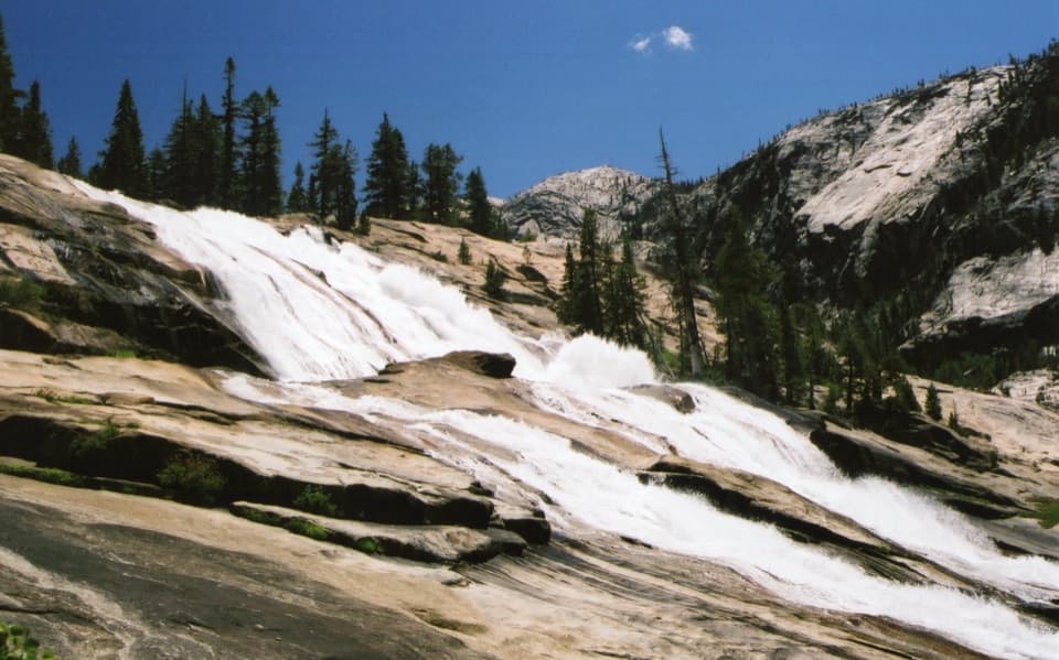 ChallengingWaterwheel Falls Trail19 mi · 11 hr · 2.2 mi awayLong Tuolumne River hike to Waterwheel Falls' signature spray.
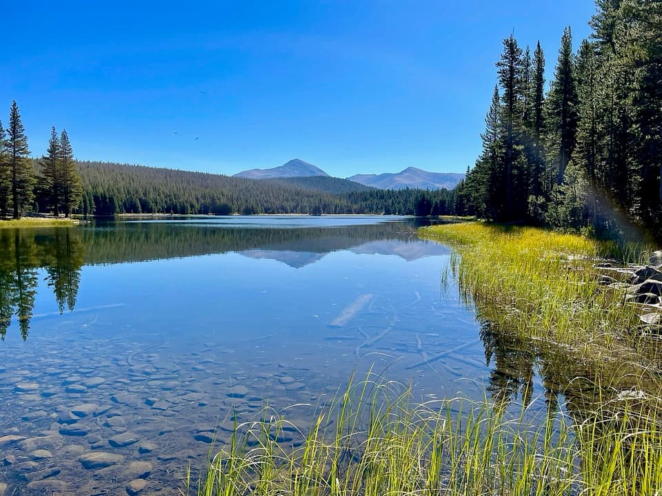 ModerateDog Lake Trail2.8 mi · 2.3 hr · 2.2 mi awayA steep climb gives way to a quiet high-country lake.
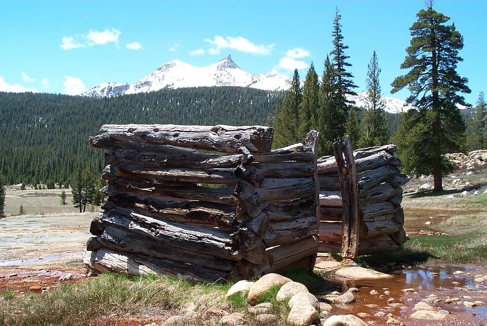 EasyParsons Lodge and Soda Springs Trail1.7 mi · 1 hr · 2.2 mi awayA flat meadow walk to bubbling springs and a Sierra Club lodge.
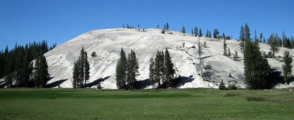 Sight · 0.2 mi awayPothole DomeA short granite climb opens a wide view across Tuolumne Meadows.
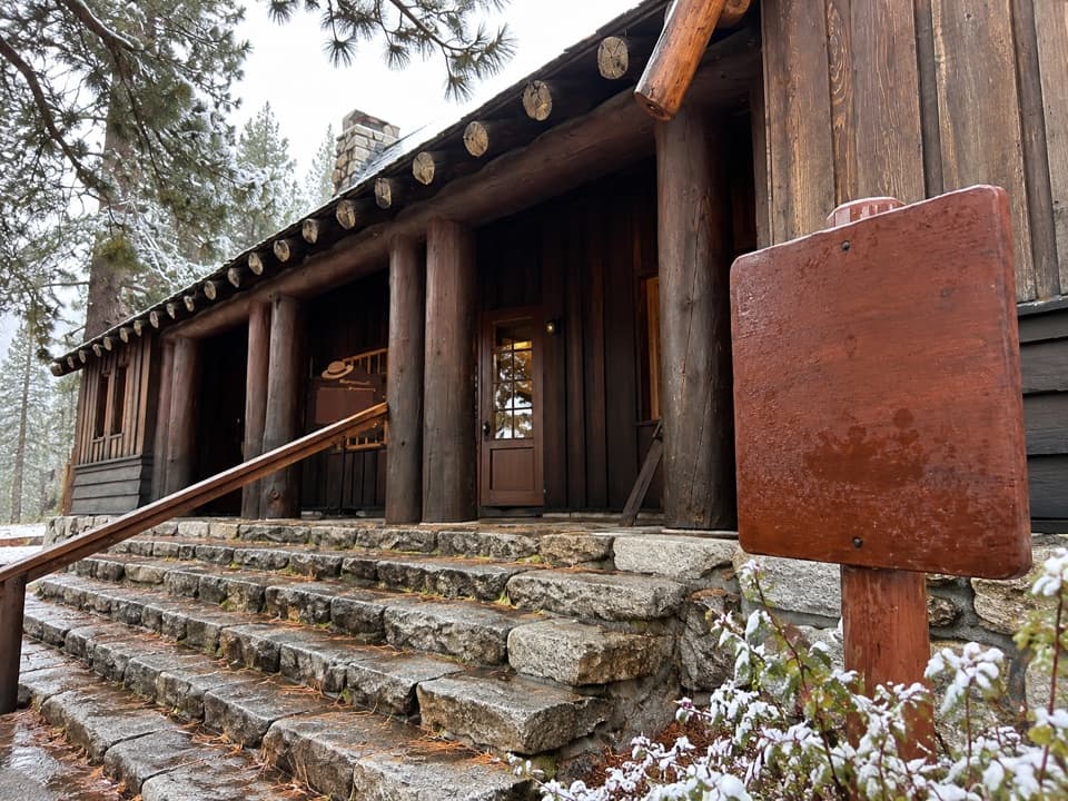 Visitor center · 1.2 mi awayTuolumne Meadows Visitor CenterA ranger desk, geology exhibits and a CCC story beside the meadow.
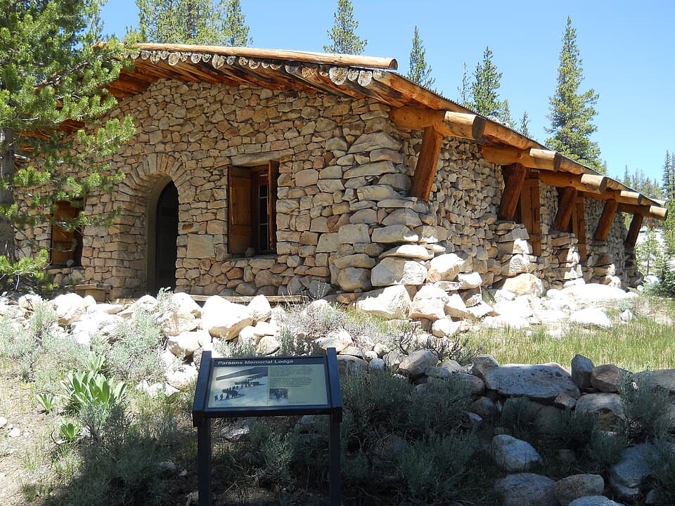 Sight · 1.5 mi awayParsons Memorial Lodge and Soda SpringsA short walk joins a 1915 lodge with bubbling meadow springs.
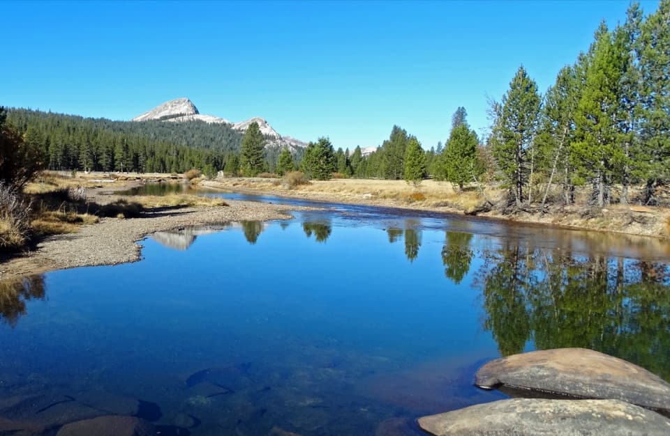 Sight · 1.8 mi awayTuolumne MeadowsA high-country meadow with river bends and granite domes.
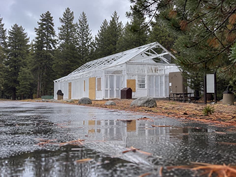 Food · 2.1 mi awayTuolumne Meadows Store and GrillLunch and trail basics before the high-country miles.
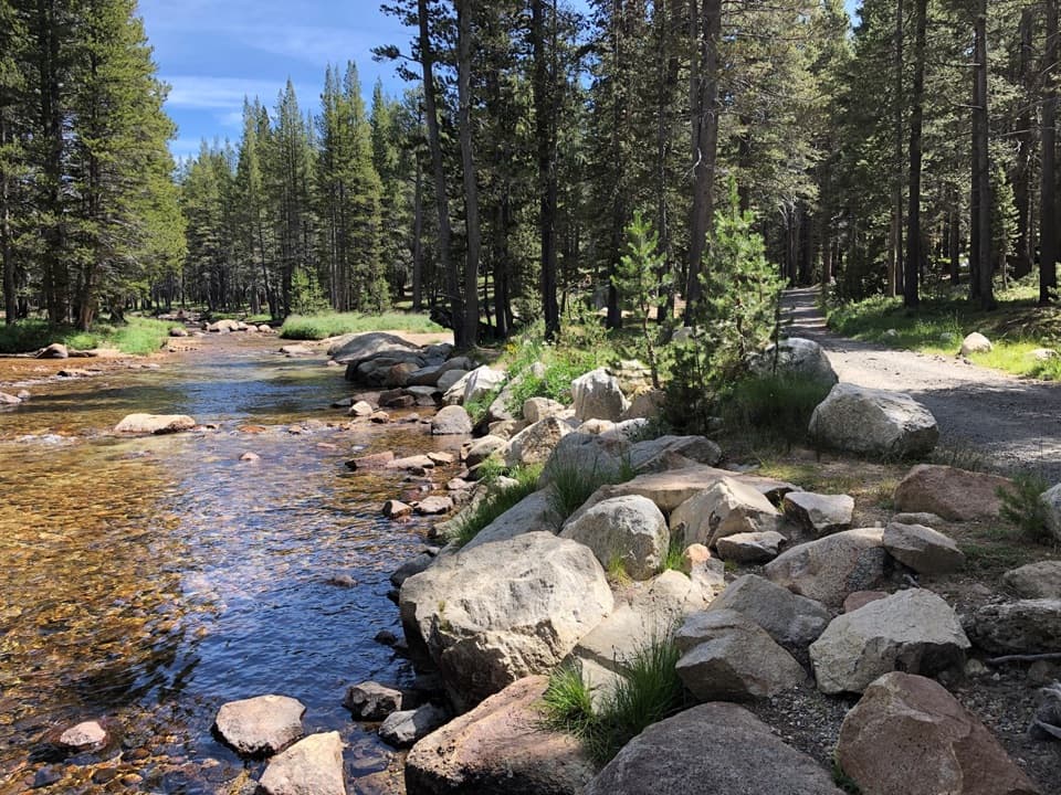 Campground · 2.2 mi awayTuolumne Meadows CampgroundA high-country base for Tuolumne's hikes, lakes, and river.
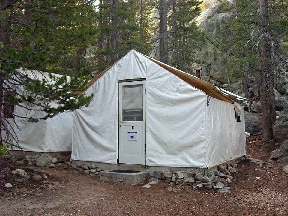 Lodging · 2.6 mi awayGlen Aulin High Sierra CampA waterfall-side cabin camp, reached only on foot.
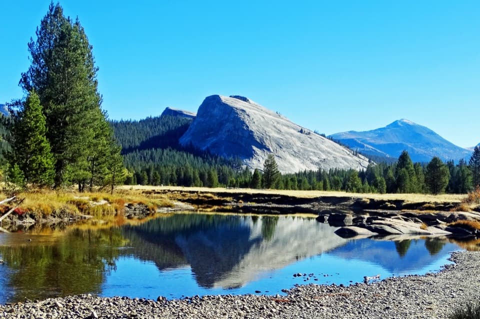 Sight · 2.6 mi awayLembert DomeA steep granite climb earns a wide-open Tuolumne panorama.
Parkwolf’s Yosemite ranking

The audio tour guide for the drive, plus offline maps, trails, and wildlife heatmaps for when the signal drops.





