Parking
Use the Cottonwood Creek wilderness trailhead near Mather Ranger Station. The public parking arrangement and capacity are unclear; confirm access with the park before going.
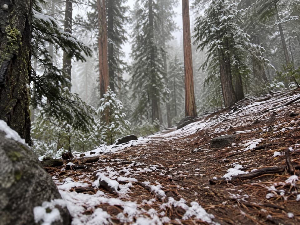
Yosemite National Park, CA
A steep backcountry climb to a wet meadow with uncertain tread.
Overview
Map & elevation
Plan your hike

“Hetch Hetchy’s water does another job before it reaches a tap: it generates electricity. Water from the reservoir supplies the Kirkwood and Moccasin powerhouses, using the drop from the Sierra to produce power.”
Yosemite Tour Guide
Parkwolf is a GPS audio tour guide for Yosemite National Park. As you drive, it chimes in with what’s ahead: hidden gems, upcoming stops, history, geology, and wildlife, right through your car’s speakers.
See the Yosemite audio tourRecorded for this area
Water That Works Twice“Hetch Hetchy’s water does another job before it reaches a tap: it generates electricity. Water from the reservoir supplies the Kirkwood and Moccasin powerhouses, using the drop from the Sierra to produce power.”
Plays on the road 1.2 mi from the trailhead in the Parkwolf Yosemite Tour Guide.
More stories near here in the app
“We just drove through Yosemite and it made our trip listening to this app as we drove through. Like having a tour guide in the car with you.”


Trail guide
Cottonwood Meadow Trail is a 3.9-mile, one-way point-to-point climb from the Cottonwood Creek trailhead near Mather Ranger Station to a wet meadow. It runs through forest and brush before opening into meadow ground, gaining about 1,100 feet on the mapped profile. Allow roughly 3½ hours to reach the meadow. If you return by the same path, the day becomes 7.8 miles, so this is a backcountry outing rather than a quick meadow stop.
The approach climbs steeply and has exposed stretches. At the meadow, the tread crosses wet ground with standing water and mud; one past trip report describes about a quarter mile where the path was hard to see, and says leaving it to skirt the water made route-finding worse. A 2024 report also described overgrowth that had erased sections of tread. Current passability is unconfirmed. Check conditions with Yosemite before setting out, and turn back rather than bushwhack if you lose the path.
Start at the Cottonwood Creek wilderness trailhead near Mather Ranger Station. The public parking arrangement and capacity aren't clear, so confirm access before going. Day hikes don't require a wilderness permit; overnight stays in Yosemite Wilderness do. Pets aren't allowed on Yosemite trails or in wilderness. No route-side food, toilets, or drinking water were confirmed.
Wildlife
 732 sightingsBlack BearMost seen around 7 PMSighting map
 1,747 sightingsMule DeerMost seen around 6 PMSighting map
 332 sightingsCoyoteMost seen around 7 PMSighting map
 11 sightingsPeregrine FalconMost seen around 8 AMSighting map
 276 sightingsPikaMost seen around 8 AMSighting map
 677 sightingsYellow-bellied MarmotMost seen around 8 AMSighting map
Sighting maps show where each species has been reported across Yosemite. Wildlife moves, so no sighting is guaranteed.
Keep exploring
 ChallengingPoopenaut Valley Trail2.5 mi · 3.5 hr · 1.5 mi awayPoopenaut’s steep drop to the Tuolumne, with a harder climb back
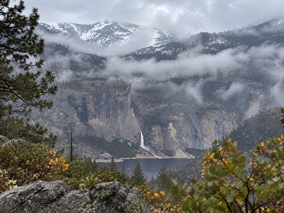 ModerateLookout Point Trail2.8 mi · 1.5 hr · 2.1 mi awayA short rocky overlook with distant Hetch Hetchy views.
 ChallengingSmith Peak Trail13.5 mi · 7 hr · 2.5 mi awayA long climb to Hetch Hetchy's highest summit.
 ChallengingMiguel Meadow, Lake Eleanor and Laurel Lake Loop26.2 mi · 14 hr · 3.9 mi awayA remote Hetch Hetchy loop linking Lake Eleanor and Laurel Lake.
 ModerateWapama Falls Trail5 mi · 3 hr · 3.9 mi awayWalk a reservoir shore to bridges beneath Yosemite’s Wapama Falls.
 ChallengingLaurel Lake Trail14.2 mi · 8.5 hr · 3.9 mi awayA strenuous out-and-back to a quiet lake above Hetch Hetchy.
 ChallengingLake Vernon Trail19.1 mi · 10 hr · 3.9 mi awayA long, exposed climb ends at Lake Vernon’s granite shore.
 ChallengingNorth Mountain Lookout Trail26.7 mi · 12.5 hr · 3.9 mi awayA full-day climb from Hetch Hetchy to the North Mountain view
 Sight · 4 mi awayO'Shaughnessy Dam and Hetch Hetchy ReservoirWalk the dam for reservoir views and a trail toward two waterfalls.
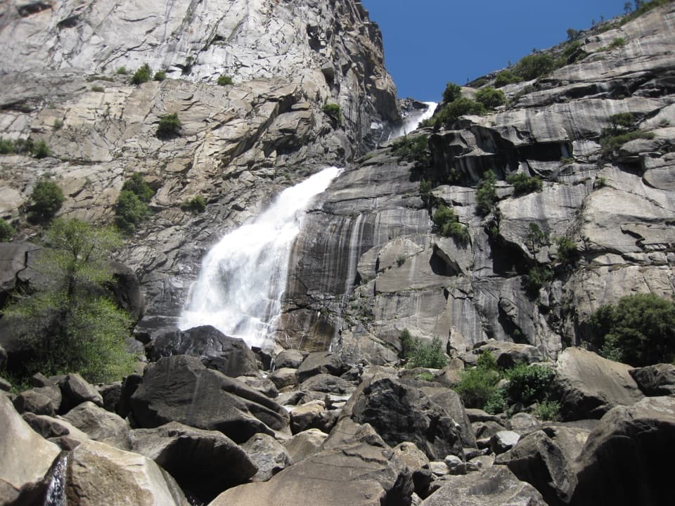 Sight · 5.4 mi awayWapama FallsA granite tunnel and reservoir hike lead to a 1,400-foot waterfall.
 Campground · 7.2 mi awayHodgdon Meadow CampgroundA west-side base, with Yosemite Valley about 45 minutes away.
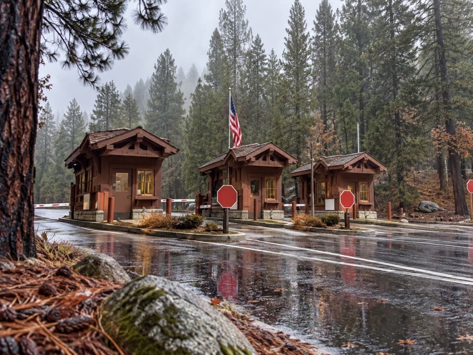 Entrance station · 7.4 mi awayBig Oak Flat EntranceThe park’s colorful sign is just beyond the Highway 120 fee booths.
 Visitor center · 7.4 mi awayBig Oak Flat Information StationGet wilderness permits, maps and useful advice before heading deeper.
 Sight · 8.3 mi awaySiesta LakeA quiet alpine lake with forest reflections.
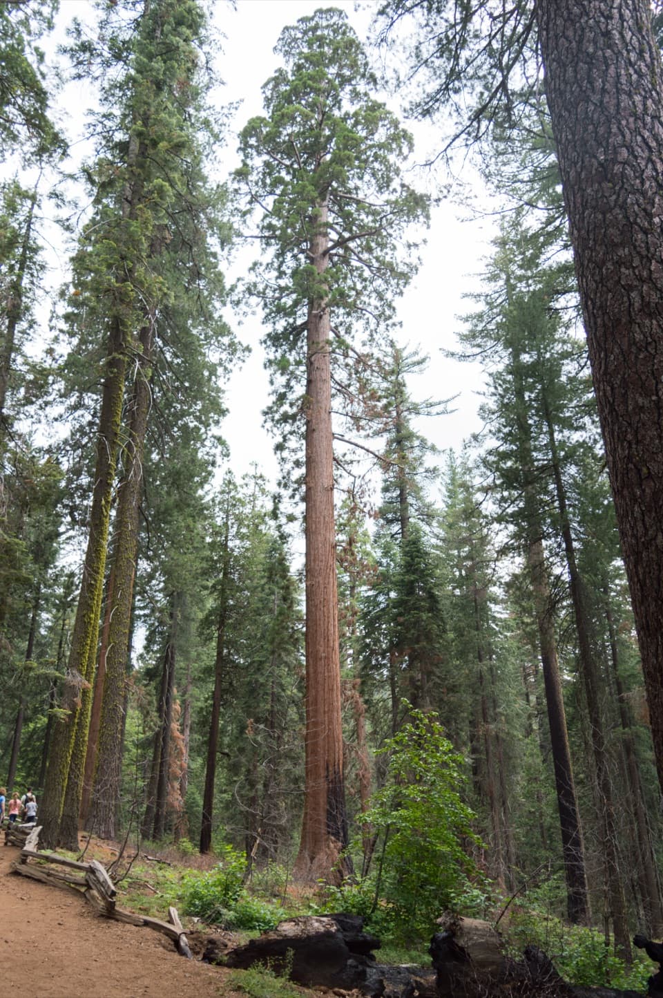 Sight · 8.4 mi awayTuolumne GroveTwo dozen sequoias are worth the 500-foot climb back.
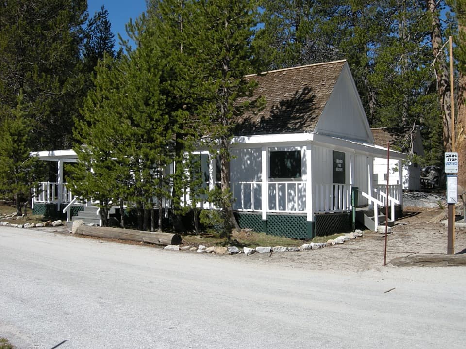 Lodging · 8.5 mi awayWhite Wolf LodgeA remote cabin base near two high-country lake hikes.
Parkwolf’s Yosemite ranking

The audio tour guide for the drive, plus offline maps, trails, and wildlife heatmaps for when the signal drops.





