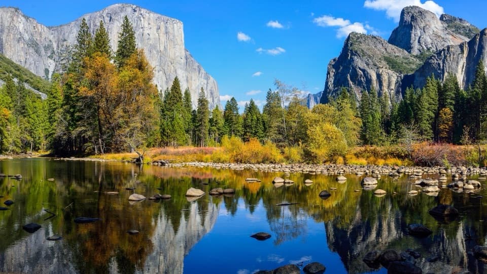
Deer Camp Road in Yosemite National Park

Yosemite National Park, CA

Deer Camp Road

An old fire road reaches a former CCC camp in southern Yosemite.

Length
8.4mi
Time
4.5hr
Elev. change
443ft
Difficulty
Moderate
  • No dogs
  • High point 6,591 ft

Hear the audio tour

A New Set of Antlers

Overview

About Deer Camp Road

Why go

  • A specific destination at a former California Conservation Corps camp
  • Mostly gentle, rolling grades on an old road

Heads up

  • The camp is 8.4 miles one way; returning to the trailhead doubles the distance
  • Overgrown stretches narrow to singletrack

Map & elevation

The route

Loading the Yosemite map
Full map
Elevation6,148–6,591 ft
TrailheadDeer Camp Trailhead37.64715, -119.70261
Keep this map with you offline in the Parkwolf app

Plan your hike

Before you go

Parking

Start at the Deer Camp wilderness trailhead on Glacier Point Road. Food lockers are available, but there is no toilet at this trailhead. The road closes seasonally, and overnight parking on Glacier Point Road is prohibited beginning October 15.

Safety

This is an 8.4-mile one-way wilderness route. Returning to Deer Camp Trailhead makes it 16.8 miles; onward routes need their own exit plan. A wilderness permit is required for any overnight stay, and dogs are prohibited on park trails.

4 active Yosemite alerts

  • ClosureDome Fire closes Glacier Point Road and trailsMentions Glacier Point Road, referenced in this guideGlacier Point Road is temporarily closed because Dome Fire smoke reduces visibility and to allow firefighting operations; some trails south of the road are also closed.Official details
  • CautionMist Trail access limited during October repairsThe Mist Trail between its John Muir Trail junction above the Vernal Fall footbridge and the top of Vernal Fall has limited access through October for repair work.Official details
See all 4 alerts
The Parkwolf Tour Guide on a dash-mounted phone, driving into Yosemite Valley

“A mule deer buck grows a whole new set of antlers each year. If you see one in summer, look for the fuzzy covering called velvet. It carries blood to the growing antlers, which harden into bone.”

Yosemite Tour Guide

Yosemite, narrated.

Parkwolf is a GPS audio tour guide for Yosemite National Park. As you drive, it chimes in with what’s ahead: hidden gems, upcoming stops, history, geology, and wildlife, right through your car’s speakers.

See the Yosemite audio tour

Recorded for this area

A New Set of Antlers
0:00 / 0:28
“A mule deer buck grows a whole new set of antlers each year. If you see one in summer, look for the fuzzy covering called velvet. It carries blood to the growing antlers, which harden into bone.”

Plays on the road 0.4 mi from the trailhead in the Parkwolf Yosemite Tour Guide.

More stories near here in the app

  • The Yellow Dust from the Pines
  • The Guardian’s Sequoias
  • Check the Squirrel’s Face
  • The Pinecones a Foot Long
  • 125 audio storiesacross Yosemite’s roads, triggered by GPS as you drive
  • Wildlife heatmapsfor Black Bear, Peregrine Falcon, Mule Deer, and 13 more
  • Works offlinemaps, 141 trails, 99 places, and audio download before you lose signal
  • CarPlay readysimple controls built for the drive
★★★★★
“We just drove through Yosemite and it made our trip listening to this app as we drove through. Like having a tour guide in the car with you.”
Roddy 3210App Store review
Download Parkwolf on the App StoreGet Parkwolf on Google Play

4.7 from 8,600+ ratings

Trail guide

Hiking Deer Camp Road

What this route isDeer Camp Road is an old fire road now used as a wilderness trail. The mapped leg runs 8.

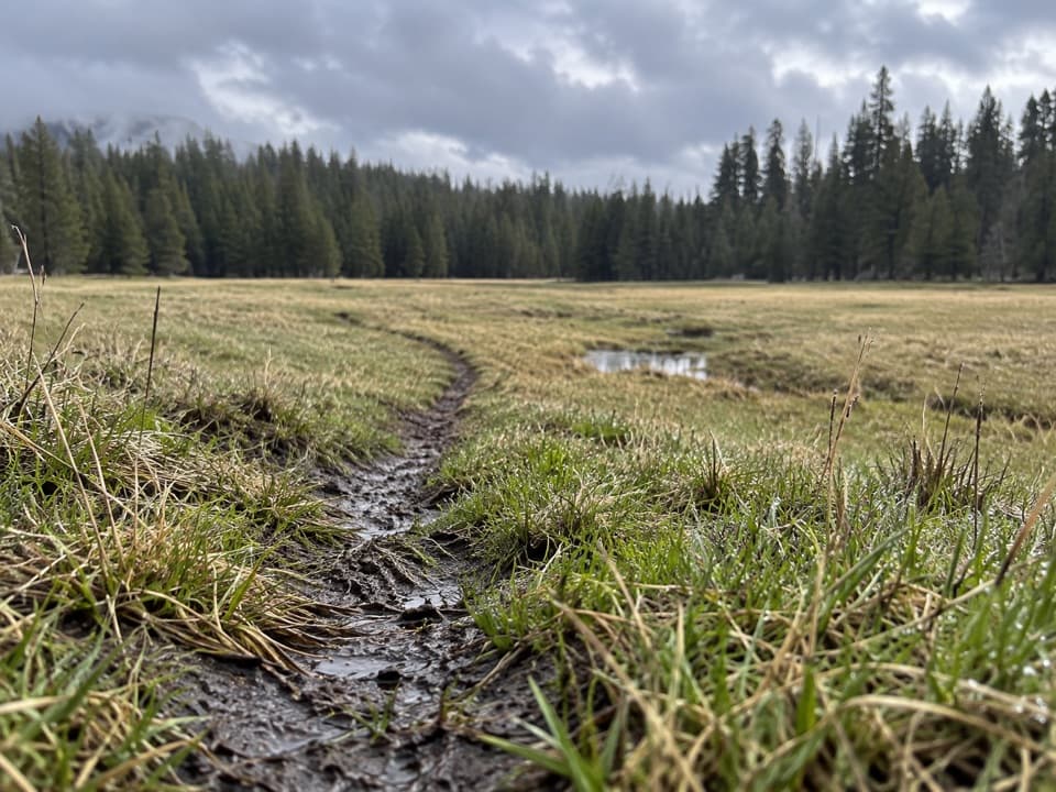
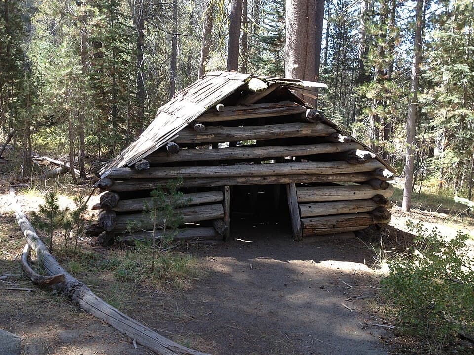
Deer Camp Road is an old fire road now used as a wilderness trail. The mapped leg runs 8.4 miles one way from Deer Camp Trailhead on Glacier Point Road to Deer Camp, a former California Conservation Corps camp. Turning around there makes 16.8 miles. It is a long, remote walk for hikers who want a backcountry route with a historic destination, not a quick scenic stop.

The walkThe old road is mostly level overall, with rolling stretches.

The old road is mostly level overall, with rolling stretches. Overgrowth narrows some sections to singletrack. Deer Camp is the destination on this mapped leg; routes continue from there toward other southern Yosemite destinations, including another Glacier Point Road access. Those onward links are a different itinerary, so plan a real exit if you do not intend to retrace your steps.

Plan the effortAllow about 4½ hours one way at a steady pace; a return is a full-day effort.

Allow about 4½ hours one way at a steady pace; a return is a full-day effort. The trailhead is on Glacier Point Road, which closes seasonally, typically from November to late May or early June. The Deer Camp trailhead has food lockers but no toilet. Day hikes do not require a wilderness permit; any overnight stay in the wilderness does, year-round. Dogs are not allowed on park trails.

Wildlife

Wildlife in Yosemite

All Yosemite wildlife maps

Sighting maps show where each species has been reported across Yosemite. Wildlife moves, so no sighting is guaranteed.

Keep exploring

Near Deer Camp Road

See it all on the map

Trails that start nearby

Places near the trailhead

Parkwolf’s Yosemite ranking

Top-rated trails in Yosemite

All 141 trails
  1. 1Half Dome TrailChallenging · 14.3 mi
  2. 2Clouds Rest TrailChallenging · 14 mi
  3. 3Nevada Fall Loop via Mist and John Muir TrailsChallenging · 6.4 mi
  4. 4Yosemite Falls TrailChallenging · 7.2 mi
  5. 5Panorama TrailChallenging · 8.2 mi
  6. 6Four Mile TrailChallenging · 4.8 mi

Take Parkwolf to Yosemite.

The audio tour guide for the drive, plus offline maps, trails, and wildlife heatmaps for when the signal drops.

4.7 from 8,600+ ratings

Download Parkwolf on the App StoreGet Parkwolf on Google Play