Glen Aulin - May Lake Trail in Yosemite National Park

Yosemite National Park, CA

Glen Aulin - May Lake Trail

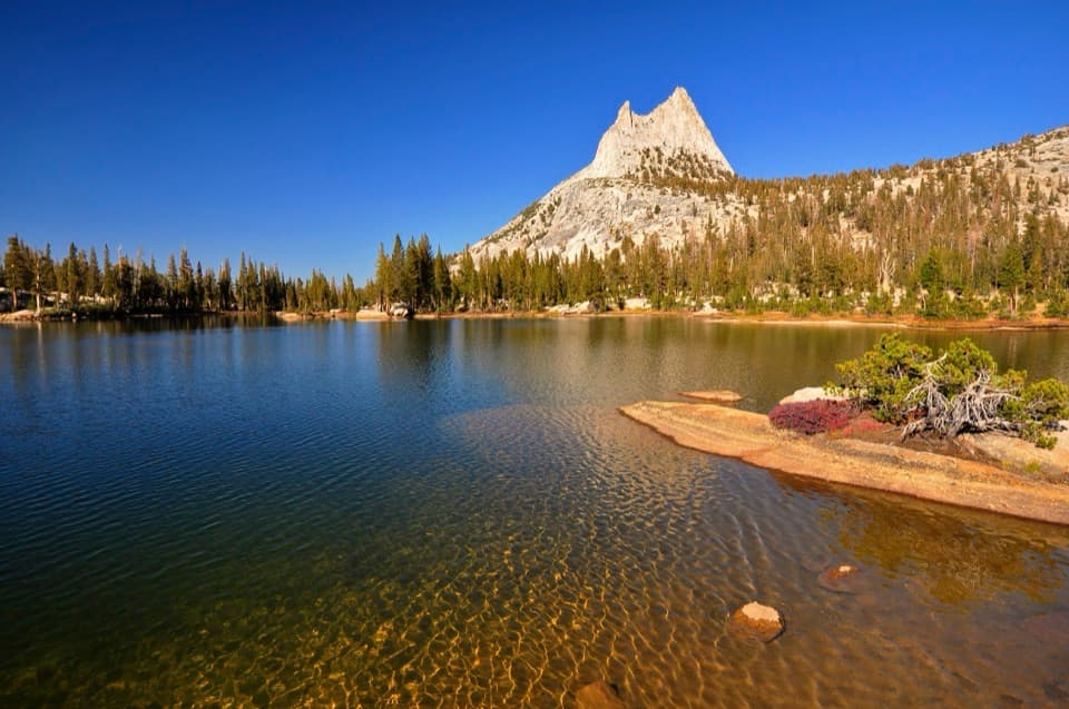
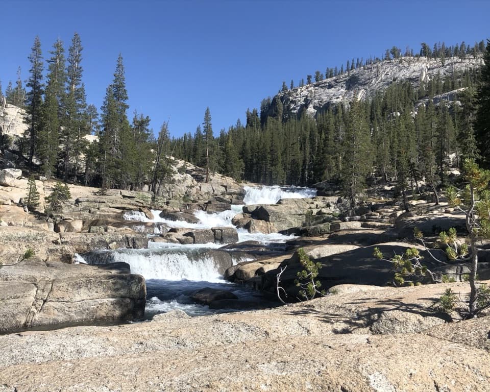
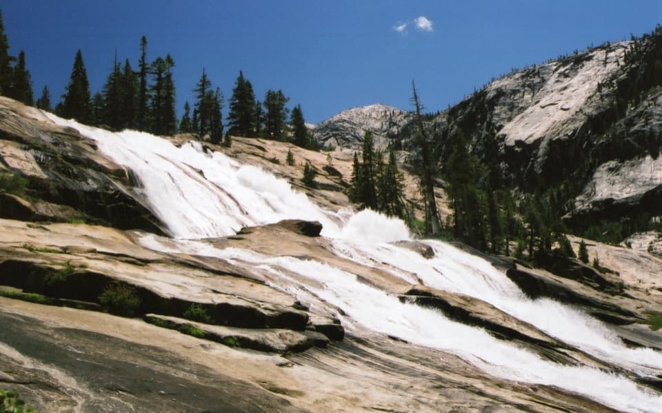
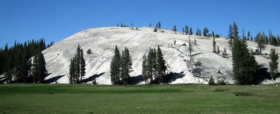
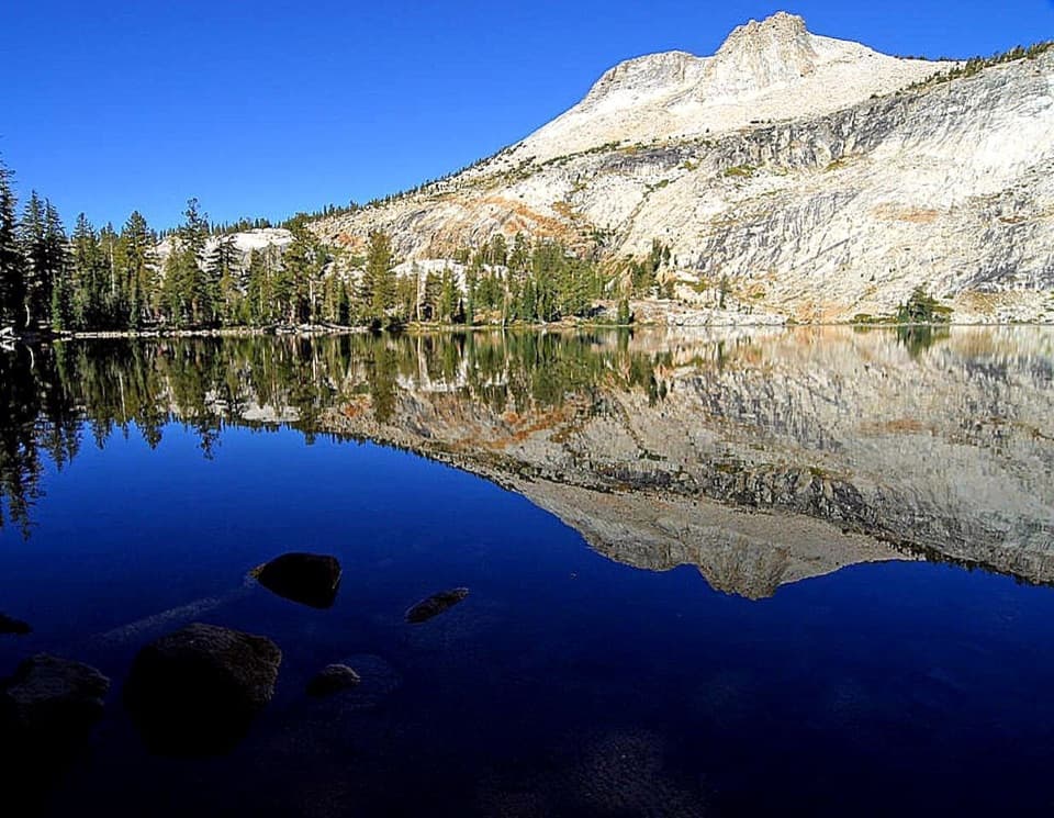
Take a long granite crossing from Glen Aulin toward May Lake.

Photo: Public Domain
Length
7.8mi
Time
8.4hr
Elev. change
1,463ft
Difficulty
Challenging
  • No dogs
  • High point 9,409 ft
  • #60 of 141 in Yosemite
Parkwolf audio tour125 stories across Yosemite’s roads

Overview

About Glen Aulin - May Lake Trail

Why go

  • A direct high-country link between Glen Aulin and May Lake.
  • Open granite and broad views toward the far side of Half Dome.

Heads up

  • The one-way route takes planning; both ends need an exit plan.
  • A same-car return is more than 15 miles on this connector alone.

Map & elevation

The route

Loading the Yosemite map
Full map
Elevation7,946–9,409 ft
TrailheadGlen Aulin High Sierra Camp37.90810, -119.42114
Keep this map with you offline in the Parkwolf app

Plan your hike

Before you go

Parking

Glen Aulin parking is at Lembert Dome; reach the camp start on foot. At the May Lake end, continue along the local approach to the May Lake Trailhead on Tioga Road. Both are listed with vault toilets, but vault-toilet trailheads have no drinking water. Overnight parking on Tioga Road and its lots is prohibited beginning October 15.

Safety

Steep high-elevation terrain reaches roughly 9,400 feet and crosses exposed granite. High trails may be snowy and hard to follow from about November through May or June. Overnight wilderness backpacking requires a permit; day hikes do not. Pets are prohibited on Yosemite trails; trained service animals are allowed.

4 active Yosemite alerts

  • ClosureWilderness center–Lembert Dome trail closedMentions Lembert Dome, referenced in this guideThe trail between the wilderness center and Lembert Dome is closed for construction; an alternate trail is available. Check current trail conditions before setting out.Official details
  • ClosureDome Fire closes Glacier Point Road and trailsGlacier Point Road is temporarily closed because Dome Fire smoke reduces visibility and to allow firefighting operations; some trails south of the road are also closed.Official details
See all 4 alerts
The Parkwolf Tour Guide on a dash-mounted phone, driving into Yosemite Valley

Yosemite Tour Guide

Yosemite, narrated.

Parkwolf is a GPS audio tour guide for Yosemite National Park. As you drive, it chimes in with what’s ahead: hidden gems, upcoming stops, history, geology, and wildlife, right through your car’s speakers.

See the Yosemite audio tour

More stories near here in the app

  • A Marmot's Short Summer
  • Pothole Dome
  • A Pika's Winter Hay
  • Tuolumne Meadows
  • 125 audio storiesacross Yosemite’s roads, triggered by GPS as you drive
  • Wildlife heatmapsfor Black Bear, Peregrine Falcon, Mule Deer, and 13 more
  • Works offlinemaps, 141 trails, 99 places, and audio download before you lose signal
  • CarPlay readysimple controls built for the drive
★★★★★
“We just drove through Yosemite and it made our trip listening to this app as we drove through. Like having a tour guide in the car with you.”
Roddy 3210App Store review
Download Parkwolf on the App StoreGet Parkwolf on Google Play

4.7 from 8,600+ ratings

Trail guide

Hiking Glen Aulin - May Lake Trail

A one-way high-country crossingGlen Aulin - May Lake is a 7.

Glen Aulin - May Lake is a 7.8-mile, one-way connector from the Glen Aulin camp area to a junction on the May Lake approach. Allow about eight to nine hours for the steep high-country route, which gains roughly 1,900 feet and reaches about 9,400 feet. The saved line ends near May Lake rather than at the lakeshore or road, so allow extra walking at that end. A same-car day trip means retracing the connector, more than 15 miles before either access walk.

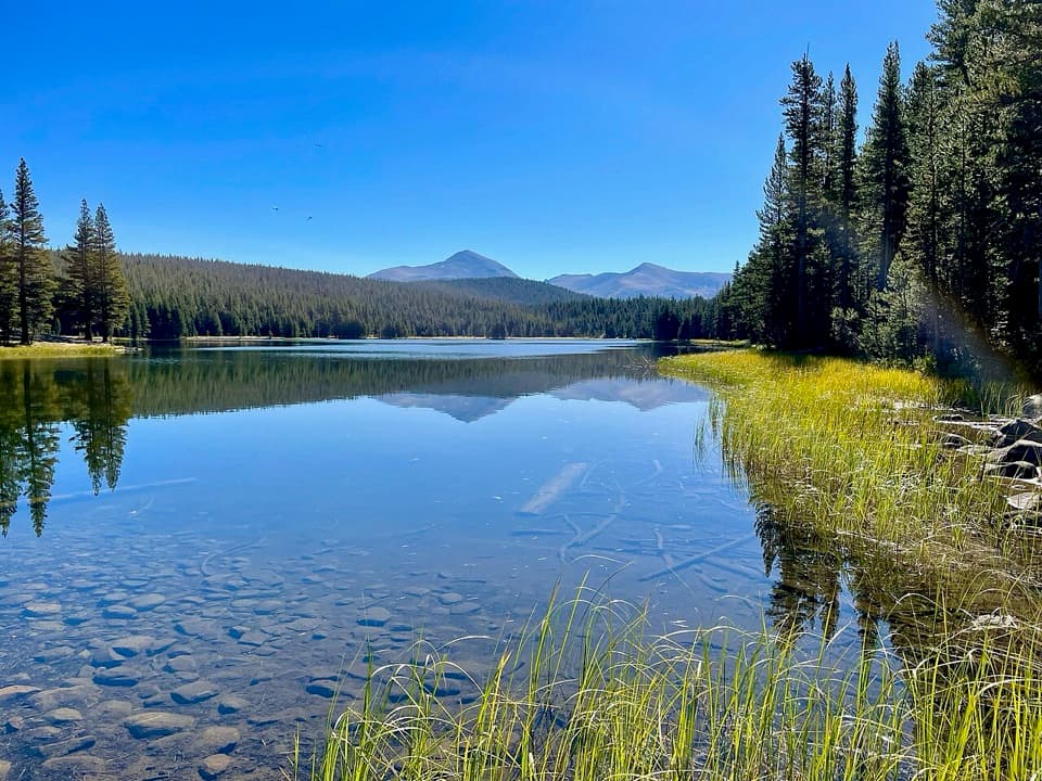
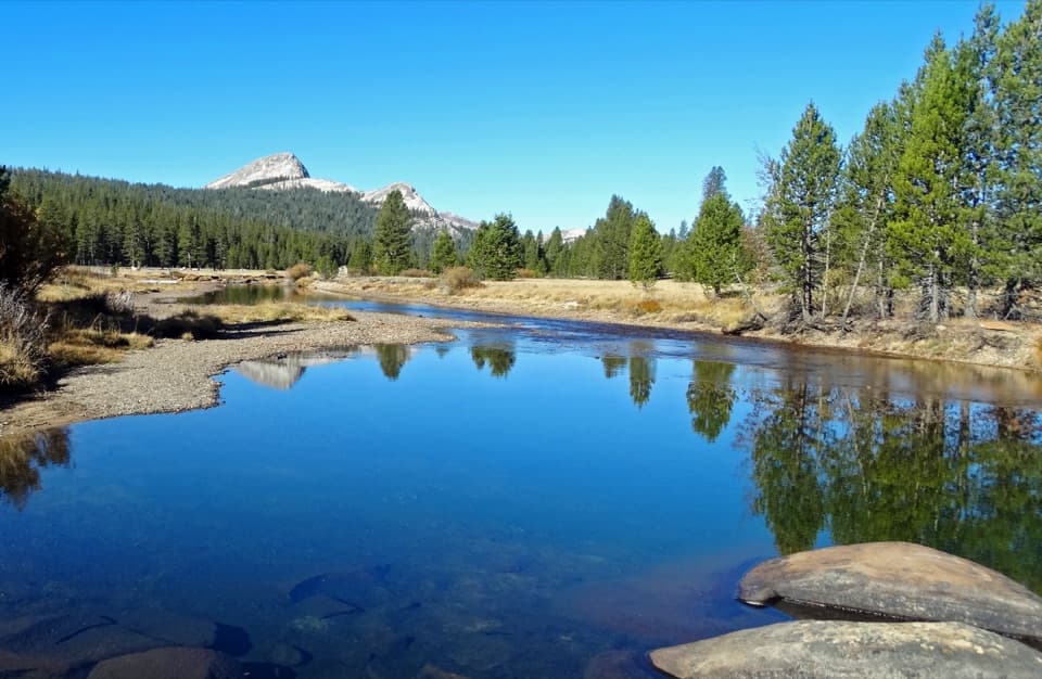
From Glen AulinThe route climbs through lodgepole pine and damp meadow ground near McGee Lake.

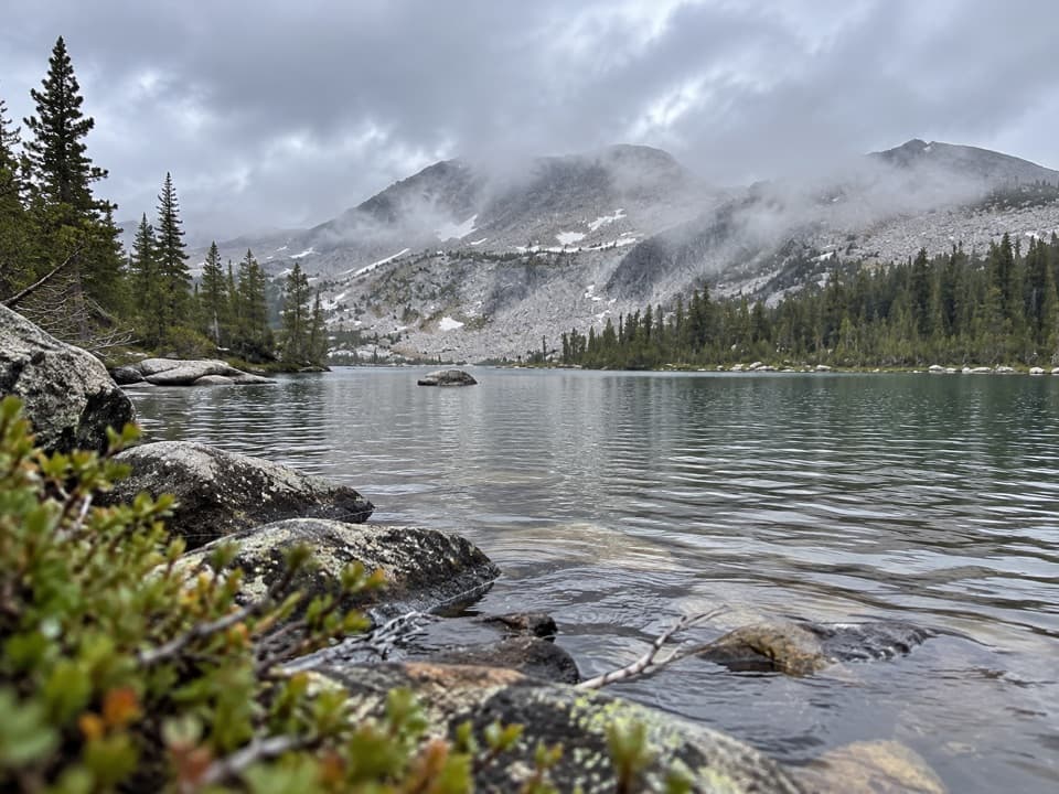
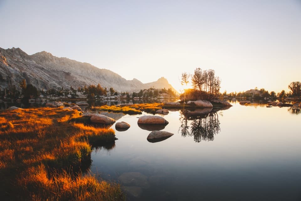
The route climbs through lodgepole pine and damp meadow ground near McGee Lake. A route account describes a stream crossing there and a smaller clear lake higher on the climb. From there, a long run of switchbacks gains the ridge. The route is strenuous and remote; it makes most sense as part of a planned wilderness crossing, not a casual out-and-back.

Granite and the viewThe upper climb crosses open granite before the view widens toward southern Yosemite.

The upper climb crosses open granite before the view widens toward southern Yosemite. From the ridge near May Lake, Half Dome's far side appears beyond the granite slopes. This is the walk's payoff. For a photo, keep some of the pale rock in the foreground so the distant face has scale.

Access and rulesThe Glen Aulin end is a wilderness camp, not a roadside trailhead; NPS directs Glen Aulin…

The Glen Aulin end is a wilderness camp, not a roadside trailhead; NPS directs Glen Aulin visitors to park at Lembert Dome and walk in. At the May Lake end, continue along the local approach to the Tioga Road trailhead. If you cannot arrange a through-hike, returning to the same car doubles the connector distance, plus the approach walks. Yosemite requires a wilderness permit for overnight backpacking, but not for day hikes. Pets are prohibited on park trails; service animals are allowed. Tioga Road access is seasonal, usually closed from November to late May or June, and high trails can be snowy and hard to follow during that period.

Wildlife

Wildlife in Yosemite

All Yosemite wildlife maps

Sighting maps show where each species has been reported across Yosemite. Wildlife moves, so no sighting is guaranteed.

Keep exploring

Near Glen Aulin - May Lake Trail

See it all on the map

Trails that start nearby

Places near the trailhead

Parkwolf’s Yosemite ranking

Top-rated trails in Yosemite

All 141 trails
  1. 1Half Dome TrailChallenging · 14.3 mi
  2. 2Clouds Rest TrailChallenging · 14 mi
  3. 3Nevada Fall Loop via Mist and John Muir TrailsChallenging · 6.4 mi
  4. 4Yosemite Falls TrailChallenging · 7.2 mi
  5. 5Panorama TrailChallenging · 8.2 mi
  6. 6Four Mile TrailChallenging · 4.8 mi

Take Parkwolf to Yosemite.

The audio tour guide for the drive, plus offline maps, trails, and wildlife heatmaps for when the signal drops.

4.7 from 8,600+ ratings

Download Parkwolf on the App StoreGet Parkwolf on Google Play