Many Pools Trail in Zion National Park

Zion National Park, UT

Many Pools Trail

Pothole pools and slickrock on an unmarked wash route.

Length
2mi
Time
2hr
Elev. change
581ft
Difficulty
Moderate
  • No dogs
  • High point 5,876 ft

Hear the audio tour

A Desert Turned to Stone

Overview

About Many Pools Trail

Why go

  • Water-cut potholes and sculpted sandstone in a short outing

Heads up

  • Unmarked route with uncertain highway entry
  • Pools may be dry

Map & elevation

The route

Loading the Zion map
Full map
Elevation5,295–5,876 ft
TrailheadMany Pools Trailhead pullout on SR-937.22186, -112.91486
Keep this map with you offline in the Parkwolf app

Plan your hike

Before you go

Parking

Use the Many Pools pullout on Zion-Mount Carmel Highway (SR-9), about 0.8–0.9 mile east of the small tunnel. NPS says to park only in designated spaces; the pullout capacity and fee were not verified. Hiking accounts report an outhouse there, but NPS confirmation was not found. The safe path from the pullout into the wash is unclear, so confirm a legal approach before going.

Safety

This is unmarked travel in an intermittent drainage, with slickrock, a dryfall and route-finding. Do not enter during storms or flash-flood warnings. Sources disagree about the safe way from SR-9 into the wash; do not cross traffic or assume roadside access is permitted. Zion allows pets on the Pa’rus Trail only, so pets are not allowed on this route.

3 active Zion alerts

  • CautionLarge-vehicle limits on Zion–Mount Carmel HighwayMentions Mount Carmel Highway, referenced in this guideVehicles exceeding Zion–Mount Carmel Highway size or weight limits cannot travel between Canyon Junction and the East Entrance; measure your vehicle and plan an alternate route if it exceeds any…Official details
  • CautionToxic cyanobacteria in Zion waterwaysDo not drink Zion in-stream water, submerge your head, or touch or ingest algae mats; cyanobacteria can produce harmful toxins.Official details
See all 3 alerts
A park ranger sits on a dash-mounted phone, talking, as Parkwolf’s Tour Guide plays “Army Cutworm Moths: A Grizzly Bear Buffet” on Grand Loop Road below Dunraven Pass in Yellowstone
Parkwolf Tour GuideThe highest, rockiest slopes around here are a summer buffet for grizzly bears.

Zion Tour Guide

Your drive to Many Pools Trail, narrated.

Parkwolf is a GPS audio tour guide for Zion National Park. As you drive, it chimes in with what’s ahead: hidden gems, upcoming stops, history, geology, and wildlife, right through your car’s speakers.

See the Zion audio tour

Recorded for this area

A Desert Turned to Stone
0:00 / 0:34
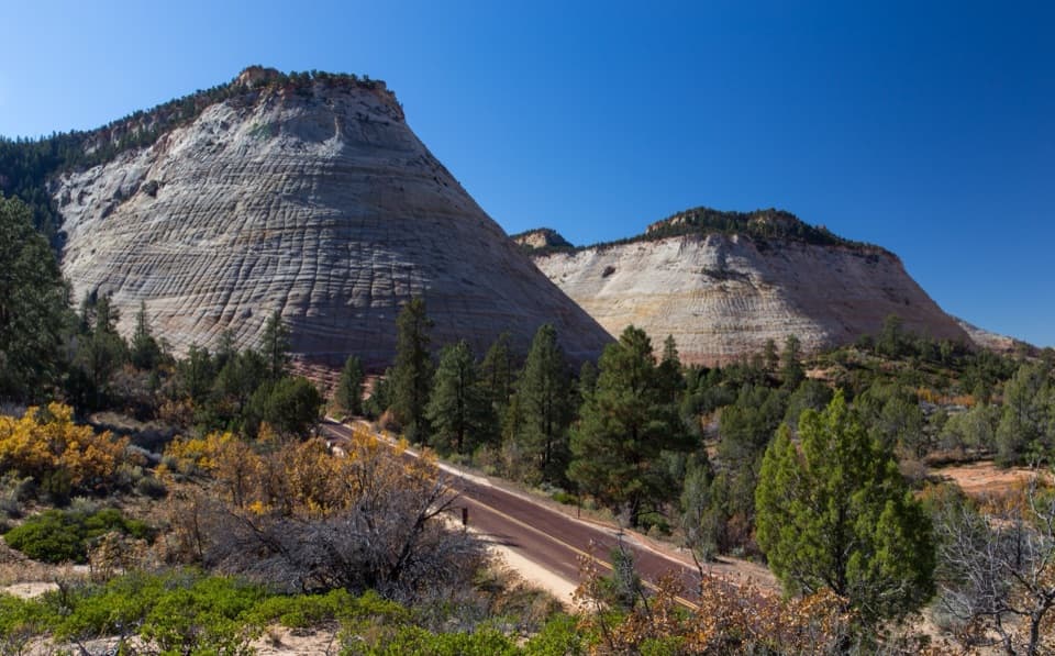
“The pale sandstone along the highway on Zion's east side began as loose desert sand. About a hundred and eighty million years ago, windblown dunes covered this region.”

Plays on the road 0.4 mi from the trailhead in the Parkwolf Zion Tour Guide.

More stories near here in the app

  • Clear Creek Wash
  • Checkerboard Mesa Canyon
  • Canyon Overlook
  • Checkerboard Mesa
  • 45 audio storiesacross Zion’s roads, triggered by GPS as you drive
  • Wildlife heatmapsfor California Condor, Bighorn Sheep, Mountain Lion, and 13 more
  • Works offlinemaps, 54 trails, 36 places, and audio download before you lose signal
  • CarPlay readysimple controls built for the drive
★★★★★
“Fantastic app with many points of information… It’s great to just turn on while you’re driving and it gives you an audio tour of the national Park. We love it!!!!”
JMJamesApp Store review
Download Parkwolf on the App StoreGet Parkwolf on Google Play

4.7 from 8,600+ ratings

Trail guide

Hiking Many Pools Trail

A short route-finding outingMany Pools is an informal out-and-back of about 2 miles round trip through the lower East Root…

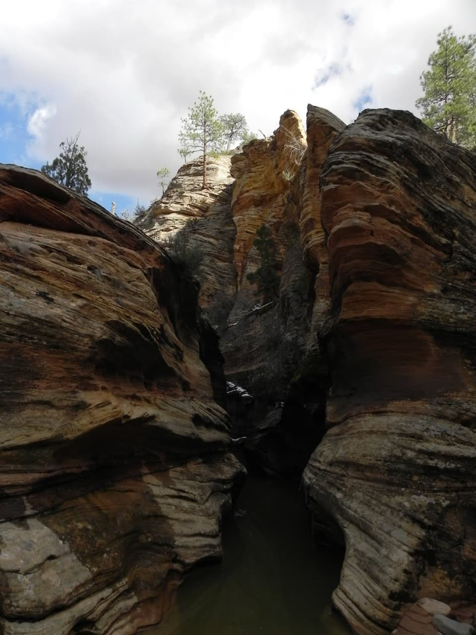
Many Pools is an informal out-and-back of about 2 miles round trip through the lower East Root Canal wash. Allow roughly 2 hours for sandy flats, slickrock ramps and about 600 feet of climbing. Go for the water-cut hollows and sculpted sandstone; skip it if you want a marked park trail.

Getting into the washThe usual start is the Many Pools pullout on Zion-Mount Carmel Highway, about 0.

The usual start is the Many Pools pullout on Zion-Mount Carmel Highway, about 0.9 mile east of the small tunnel. The way from the pullout into the north-side drainage is not settled: accounts describe an informal dirt entry, crossing the highway, or using a culvert. I couldn't verify a safe, official approach. Confirm access with the park before setting out, and don't cross traffic or park outside designated spaces.

Follow the lower channelOnce in the wash, sandy stretches alternate with sloping slickrock ramps.

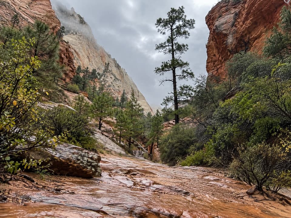
Once in the wash, sandy stretches alternate with sloping slickrock ramps. Pothole basins interrupt the easiest line, and a dryfall may need a short bypass. There is no maintained tread or signed junction. The lower outing turns back where the drainage narrows, about a mile from the road. The steeper, brushier scramble above heads toward Deertrap Mountain and the East Rim; that is a separate, much harder trip. West Root Canal is another drainage, not an alternate way to do this one.

Potholes and changing waterFlowing water has worn shallow hollows in the Navajo Sandstone, which is why hikers call this…

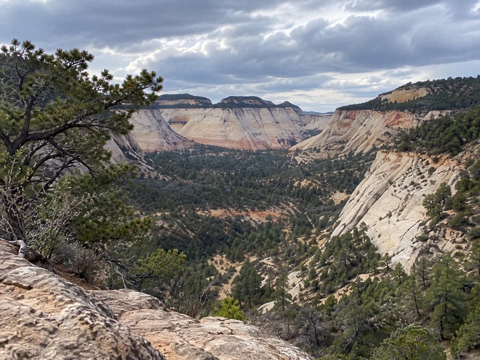
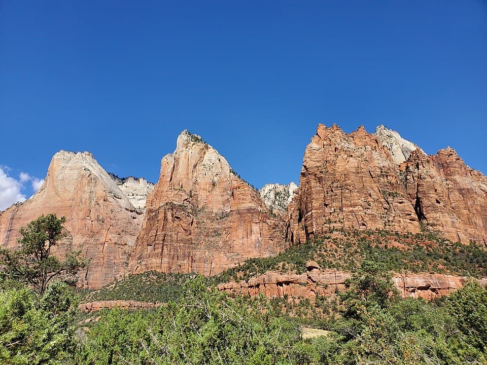
Flowing water has worn shallow hollows in the Navajo Sandstone, which is why hikers call this drainage Many Pools. Local guides also call the east wash East Root Canal; the paired drainages resemble molar roots on a map, behind the nickname “The Root Canals.” Some potholes hold water after runoff, while others dry out; seasonal tadpoles are reported in spring and summer. Look for cross-bedded rock, hoodoos and the broad view back south from the upper wash. When water is present, frame the potholes with the sandstone shelves around them.

Wildlife

Wildlife in Zion

All Zion wildlife maps

Sighting maps show where each species has been reported across Zion. Wildlife moves, so no sighting is guaranteed.

Keep exploring

Near Many Pools Trail

See it all on the map

Trails that start nearby

Places near the trailhead

Parkwolf’s Zion ranking

Top-rated trails in Zion

All 54 trails
  1. 1Angels Landing TrailChallenging · 4.2 mi
  2. 2The Narrows from the Bottom UpChallenging · 9.4 mi
  3. 3Canyon Overlook TrailModerate · 1 mi
  4. 4East Mesa Trail to Observation PointModerate · 6.8 mi
  5. 5Left Fork (Subway) Bottom-UpChallenging · 9 mi
  6. 6West Rim Trail (Top-Down)Challenging · 14.6 mi

Take Parkwolf to Zion.

The audio tour guide for the drive, plus offline maps, trails, and wildlife heatmaps for when the signal drops.

4.7 from 8,600+ ratings

Download Parkwolf on the App StoreGet Parkwolf on Google Play