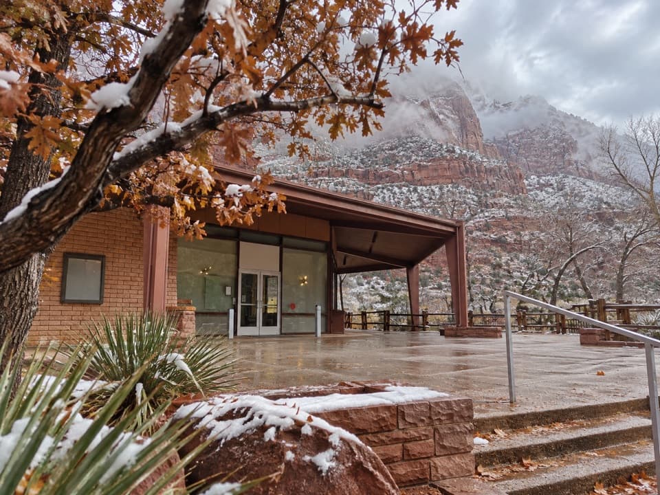
Gifford Canyon Hike in Zion National Park

Zion National Park, UT

Gifford Canyon Hike

A sandy canyon wash with two rough dryfall scrambles.

Photo: Wikimedia Commons
Length
3.6mi
Time
3hr
Elev. change
509ft
Difficulty
Moderate
  • No dogs
  • High point 5,692 ft

Hear the audio tour

Canyon Overlook

Overview

About Gifford Canyon Hike

Why go

  • Open sand, pale slickrock and greener pockets make a varied canyon walk.
  • Reached from the east-side highway without joining the Zion Canyon shuttle.

Heads up

  • No maintained tread; the entrance and a second dryfall require scrambling.
  • The small shared parking area can be congested.

Map & elevation

The route

Loading the Zion map
Full map
Elevation5,184–5,692 ft
TrailheadCanyon Overlook parking area (River Access)37.21364, -112.94333
Keep this map with you offline in the Parkwolf app

Plan your hike

Before you go

Parking

Use the small Canyon Overlook parking area immediately east of the Zion-Mount Carmel Tunnel. The River Access path beside the restroom leads down to Pine Creek and the Gifford Canyon approach. If the lot is full, park only in designated overflow pullouts farther east; do not use the road shoulder.

Safety

This is an unmaintained wash route with steep, brushy scrambling at the entrance and another dryfall. Loose sand, soft pockets and standing water follow rain; flash floods can be dangerous in the canyon. Do not enter during storms or rising water, and check current park alerts. Pets are prohibited except service animals.

3 active Zion alerts

  • CautionToxic cyanobacteria in Zion waterwaysDo not drink Zion in-stream water, submerge your head, or touch or ingest algae mats; cyanobacteria can produce harmful toxins.Official details
  • ClosureWatchman Trail closed for repairsWatchman Trail is closed pending repairs; do not enter the trail and choose another hike. Check current park conditions before setting out.Official details
See all 3 alerts
A park ranger sits on a dash-mounted phone, talking, as Parkwolf’s Tour Guide plays “Army Cutworm Moths: A Grizzly Bear Buffet” on Grand Loop Road below Dunraven Pass in Yellowstone
Parkwolf Tour GuideThe highest, rockiest slopes around here are a summer buffet for grizzly bears.

Zion Tour Guide

Your drive to Gifford Canyon Hike, narrated.

Parkwolf is a GPS audio tour guide for Zion National Park. As you drive, it chimes in with what’s ahead: hidden gems, upcoming stops, history, geology, and wildlife, right through your car’s speakers.

See the Zion audio tour

Recorded for this trailhead

Canyon Overlook
0:00 / 0:28
“Canyon Overlook trailhead is coming up, just east of the Zion-Mount Carmel Tunnel.”

Plays as you drive up to this trailhead in the Parkwolf Zion Tour Guide.

More stories near here in the app

  • Zion–Mount Carmel Tunnel and Great Arch
  • How the Canyon Gets Wider
  • Clear Creek Wash
  • Lower Pine Creek Falls
  • 45 audio storiesacross Zion’s roads, triggered by GPS as you drive
  • Wildlife heatmapsfor California Condor, Bighorn Sheep, Mountain Lion, and 13 more
  • Works offlinemaps, 54 trails, 36 places, and audio download before you lose signal
  • CarPlay readysimple controls built for the drive
★★★★★
“Fantastic app with many points of information… It’s great to just turn on while you’re driving and it gives you an audio tour of the national Park. We love it!!!!”
JMJamesApp Store review
Download Parkwolf on the App StoreGet Parkwolf on Google Play

4.7 from 8,600+ ratings

Trail guide

Hiking Gifford Canyon Hike

What the walk isGifford Canyon is about a 3.

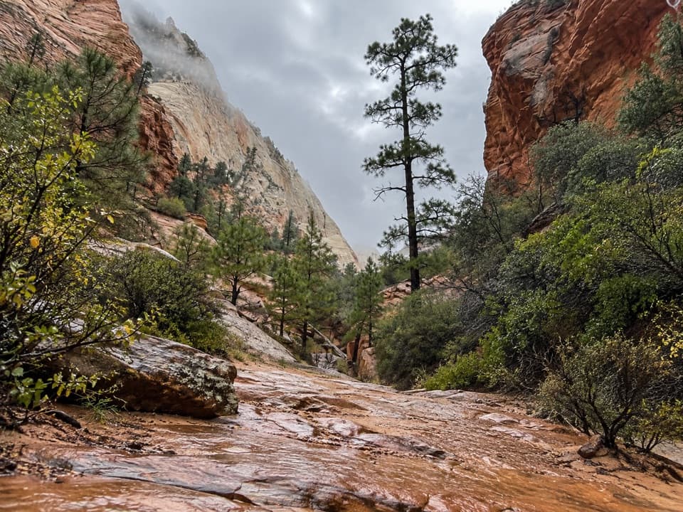
Gifford Canyon is about a 3.6-mile out-and-back from the Canyon Overlook access, up an open sandy wash to its enclosed head and back. Allow two to four hours. Most of the canyon is a gradual climb over sand and slickrock, but this is an unofficial, off-trail outing with no continuous maintained tread. Go only if you are comfortable route-finding and scrambling. The route line follows the wash corridor; it does not show the access path or the short detours around dryfalls. If you want a maintained walk instead, the separate Canyon Overlook Trail starts from the same area.

Getting into the washUse the signed River Access path beside the Canyon Overlook restrooms and descend the rocky…

Use the signed River Access path beside the Canyon Overlook restrooms and descend the rocky slope into Pine Creek. Cross toward the road side to reach Gifford Canyon's mouth. A dryfall blocks direct entry, so a steep, brushy user path climbs over slickrock around it before dropping into the wash. Do not continue downstream in Pine Creek; that leads to a different, technical canyon route.

The sandy middle and upper canyonThe wash alternates loose sand with pale slickrock bands and bowls.

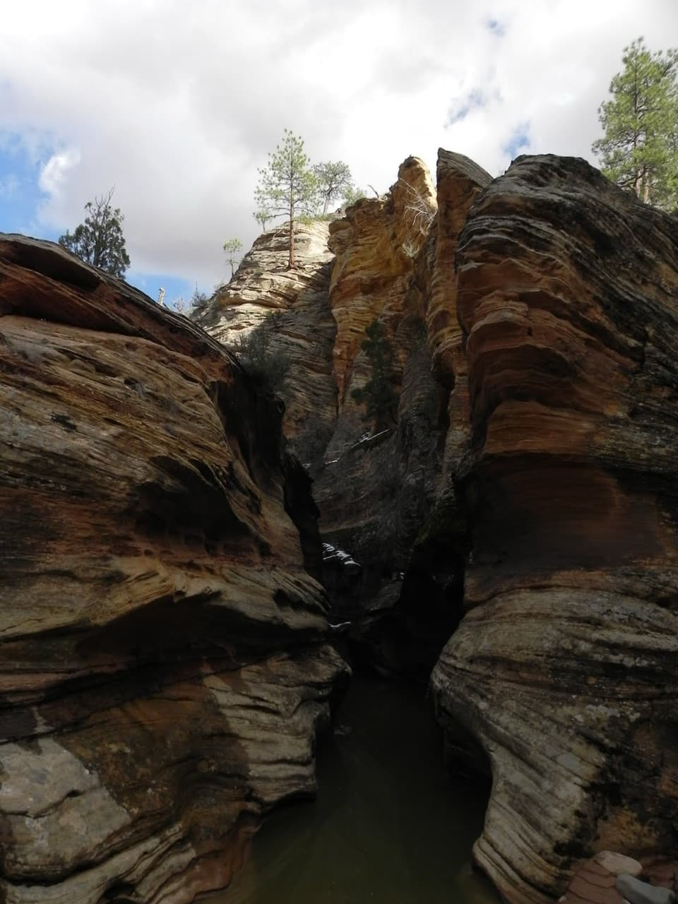
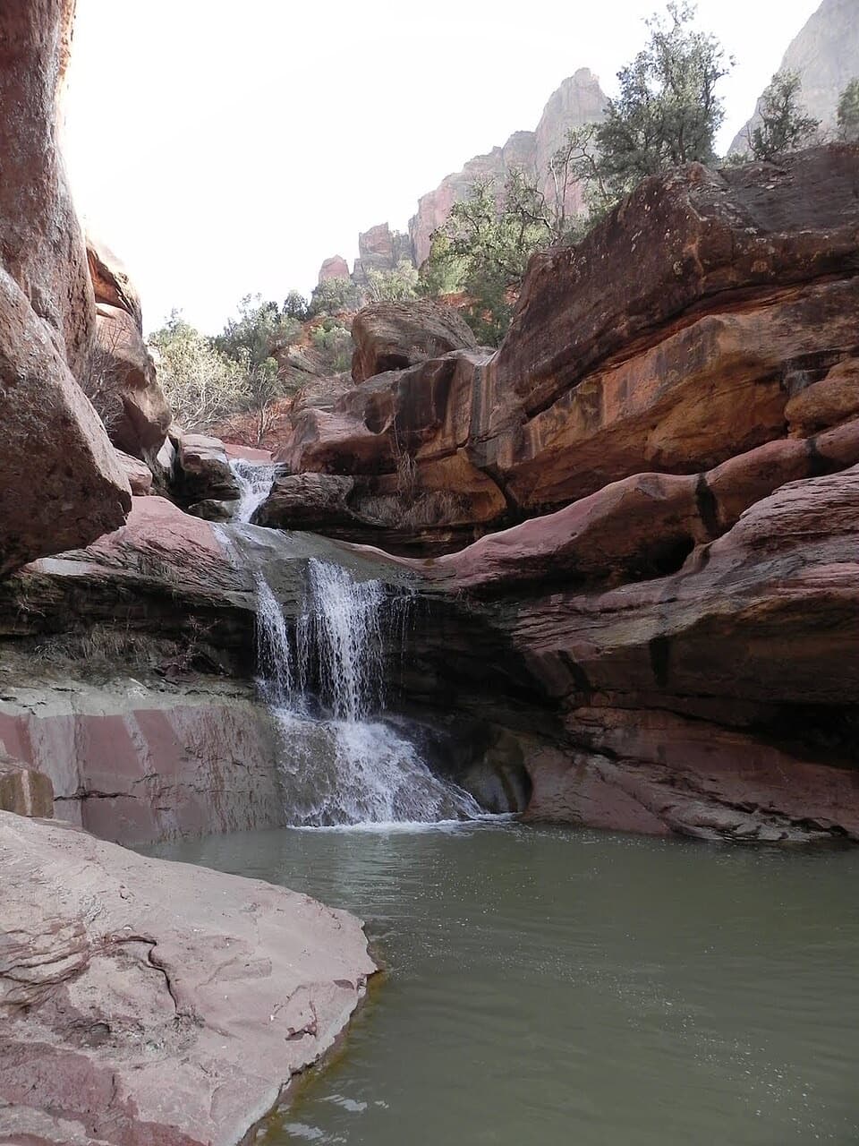
The wash alternates loose sand with pale slickrock bands and bowls. The sand can be tiring when dry; narrow, greener pockets hold moisture and may have soft ground or standing water after rain. About a mile in, a second dryfall requires a scramble up shelves on the west, or right-hand, side. Beyond it, the canyon opens again, with a few short slopes of loose rock before the walls close in near the head. A pool or boulder obstacle commonly marks a sensible turnaround. Return the same way; do not try to climb out through the enclosing cliffs.

What to noticeThe payoff is the contrast between pale, sloping sandstone and the darker, greener wash below.

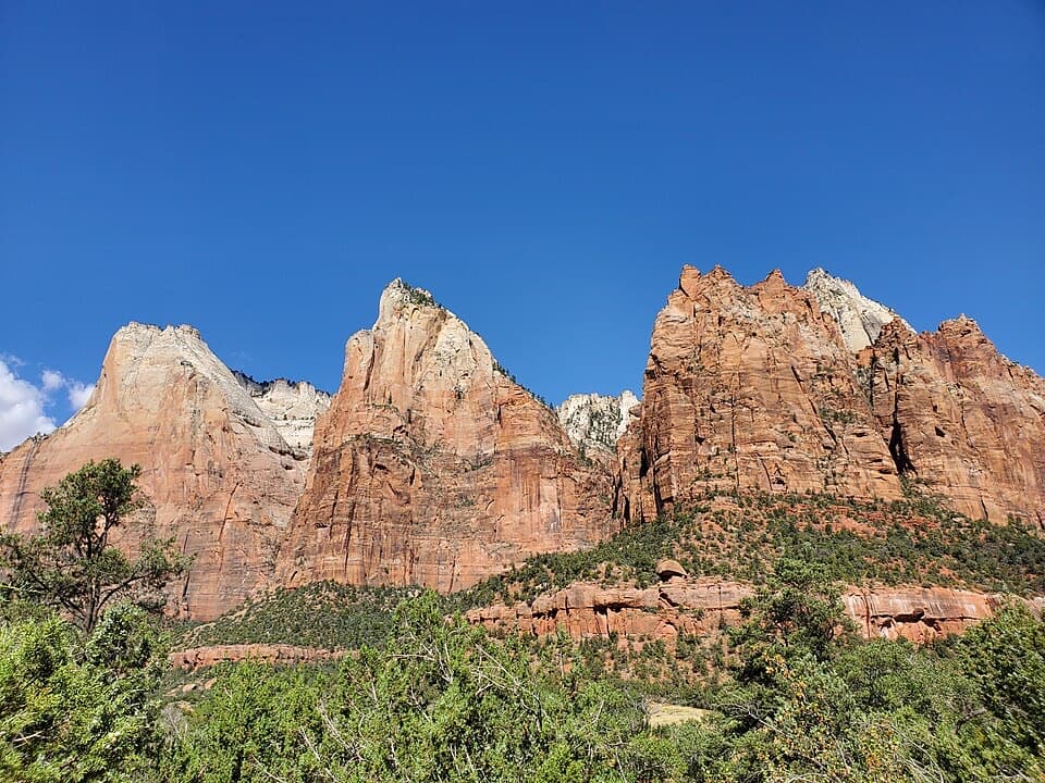
The payoff is the contrast between pale, sloping sandstone and the darker, greener wash below. Pines, cottonwoods, shrubs and ferns grow in wetter pockets, and flash-flood debris shows how much water can move through this normally open drainage. At the upper slickrock bowl, look back down-canyon and frame the sandy floor against the layered walls; it gives a better sense of the wash's shape than a close crop of the rock.

Make the access workThe small Canyon Overlook lot just east of the Zion-Mount Carmel Tunnel is shared with several…

The small Canyon Overlook lot just east of the Zion-Mount Carmel Tunnel is shared with several other walks and can be congested. If it is full, use only designated overflow pullouts farther east. A restroom is reported at the lot; food and potable water were not found along the route, so bring what you need. Summer heat and flash flooding are the main conditions to plan around: avoid the wash during storms or rising water and check current park alerts before setting out. Pets are not permitted on this route; Zion allows them only on the Pa'rus Trail, with service animals excepted.

Wildlife

Wildlife in Zion

All Zion wildlife maps

Sighting maps show where each species has been reported across Zion. Wildlife moves, so no sighting is guaranteed.

Keep exploring

Near Gifford Canyon Hike

See it all on the map

Trails that start nearby

Places near the trailhead

Parkwolf’s Zion ranking

Top-rated trails in Zion

All 54 trails
  1. 1Angels Landing TrailChallenging · 4.2 mi
  2. 2The Narrows from the Bottom UpChallenging · 9.4 mi
  3. 3Canyon Overlook TrailModerate · 1 mi
  4. 4East Mesa Trail to Observation PointModerate · 6.8 mi
  5. 5Left Fork (Subway) Bottom-UpChallenging · 9 mi
  6. 6West Rim Trail (Top-Down)Challenging · 14.6 mi

Take Parkwolf to Zion.

The audio tour guide for the drive, plus offline maps, trails, and wildlife heatmaps for when the signal drops.

4.7 from 8,600+ ratings

Download Parkwolf on the App StoreGet Parkwolf on Google Play