Parking
Start at the Court of the Patriarchs up-canyon shuttle stop (#4). Cross the road to the wooden steps down to the trail; no trailhead parking capacity details were found.

Zion National Park, UT
Loose sand turns this canyon loop into a bigger effort.
Overview
Map & elevation
Plan your hike

The highest, rockiest slopes around here are a summer buffet for grizzly bears.
Zion Tour Guide
Parkwolf is a GPS audio tour guide for Zion National Park. As you drive, it chimes in with what’s ahead: hidden gems, upcoming stops, history, geology, and wildlife, right through your car’s speakers.
See the Zion audio tourRecorded for this trailhead
Court of the Patriarchs“Up ahead is Court of the Patriarchs, a quick stop for three sandstone peaks named Abraham, Isaac and Jacob.”
Plays as you drive up to this trailhead in the Parkwolf Zion Tour Guide.
More stories near here in the app
“Fantastic app with many points of information… It’s great to just turn on while you’re driving and it gives you an audio tour of the national Park. We love it!!!!”


Trail guide
Sand Bench Trail is a 3.9-mile round-trip loop from the Court of the Patriarchs up-canyon stop. It follows the Virgin River before climbing onto an old landslide bench, with Zion's sandstone cliffs above the route. Allow about two to four hours; roughly 1,038 feet of climbing and soft, shifting tread make this feel longer than the mileage suggests. Published mileage is inconsistent: the Court loop assessment is 3.9 miles, while route directions say a loop-only walk can be closer to 5. Check that your map follows the Court loop described here.
From the up-canyon shuttle stop, cross the road and take the wooden steps down to the sandy trail. At the junction, the up-canyon turn heads toward Zion Lodge; continue back toward the Court of the Patriarchs to take the longer loop. The route first runs beside the Virgin River, then climbs the landslide. Most of the assessed loop is very soft sand, with steep stretches and a seasonal creek crossing.
The eastern side is rockier, with boulders and views down to the canyon road. The western side opens across the broad landslide and back toward the Court of the Patriarchs. This is a walk for the changing shape of the bench and its big cliff backdrop; don't expect a shaded riverside stroll once the climb begins.
The bench is the remnant of a massive rockfall that dammed the Virgin River about 8,000 years ago, creating a lake that reached as far as Angels Landing. The trail lets you walk across that old slide rather than just look at it from the canyon road.
The trail has little shade, and soft sand makes every climb more work. In hot weather, start early and carry water; in winter, watch for ice. The creek crossing changes with the season and may require shallow-water wading. Commercial horses use the trail from March through October, so give them room. Dogs are not allowed.
Water and restrooms are available at Zion Lodge, off the Court loop. The Court-to-Lodge route is a separate 1.5-mile one-way walk if you want a shorter point-to-point option; plan how you'll get back to your starting stop.
Wildlife
 291 sightingsCalifornia CondorMost seen around 11 AMSighting map
 350 sightingsBighorn SheepMost seen around 7 AMSighting map
 22 sightingsMountain LionMost seen around 7 PMSighting map
 1,326 sightingsMule DeerMost seen around 6 AMSighting map
 23 sightingsGolden EagleMost seen around 10 AMSighting map
 15 sightingsPeregrine FalconMost seen around 7 AMSighting map
Sighting maps show where each species has been reported across Zion. Wildlife moves, so no sighting is guaranteed.
Keep exploring
 EasyCourt of the Patriarchs Viewpoint Trail0.1 mi · 8 min · At the trailheadThree sandstone peaks from a short, steep viewpoint climb.
 EasyLower Emerald Pool Trail1.2 mi · 1.5 hr · 1 mi awayA short walk to a waterfall alcove that changes with the season.
 ModerateMiddle Emerald Pools Trail2.2 mi · 1.5 hr · 1 mi awayA steep climb opens onto sandstone ledges and green pools.
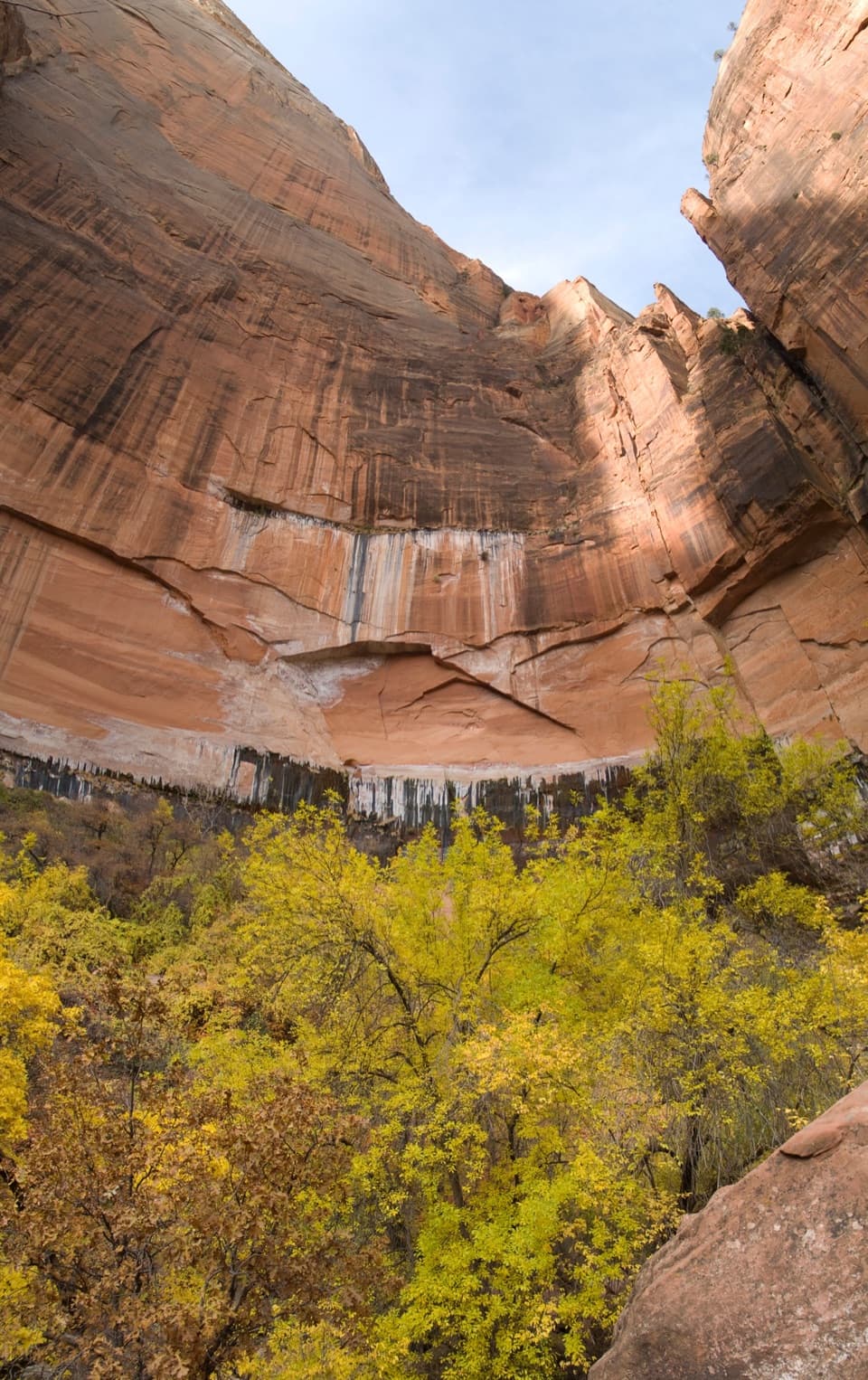 ModerateUpper Emerald Pools Trail2.3 mi · 2 hr · 1 mi awayStone steps lead to a sandy pool beneath Zion’s high canyon walls.
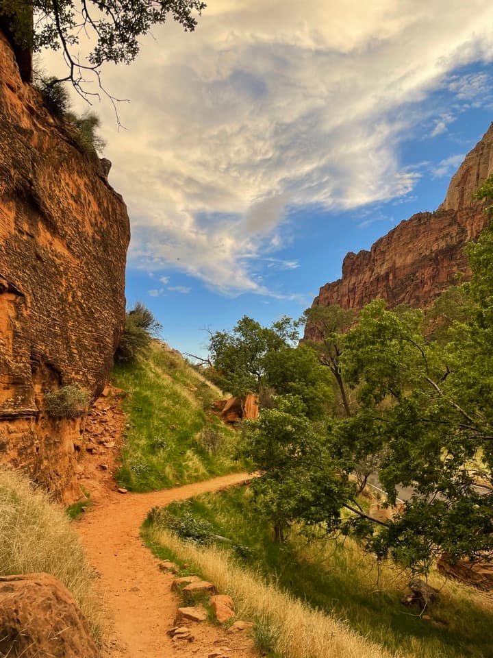 EasyGrotto Trail1.2 mi · 36 min · 1.1 mi awayA shaded meadow walk linking the lodge and Grotto shuttle stops.
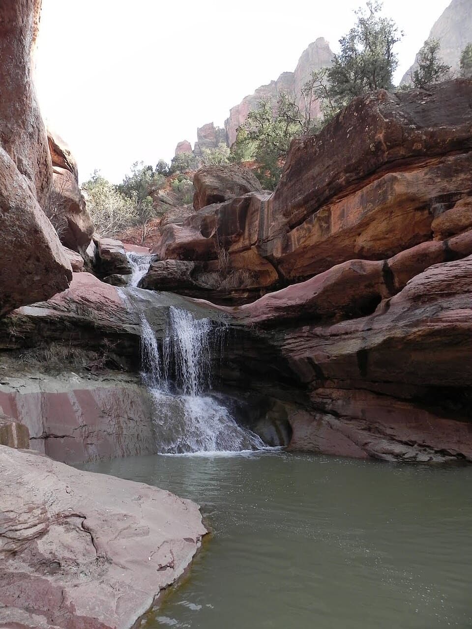 ModerateLower Pine Creek Falls Trail0.7 mi · 45 min · 1.5 mi awayA short creek walk gives way to boulder hopping and shallow wading.
 ChallengingAngels Landing Trail4.2 mi · 4 hr · 1.6 mi awayA steep canyon climb ends on a narrow, chain-lined sandstone ridge.
 ChallengingWest Rim to Scout Lookout3.8 mi · 3.5 hr · 1.6 mi awayA steep climb to a canyon lookout, before the permit boundary.
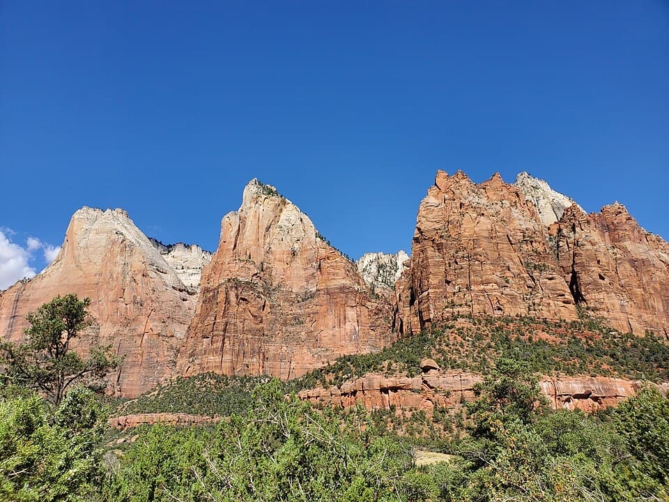 Sight · At the trailheadCourt of the PatriarchsThree sandstone peaks reward a short, steep climb above the canyon.
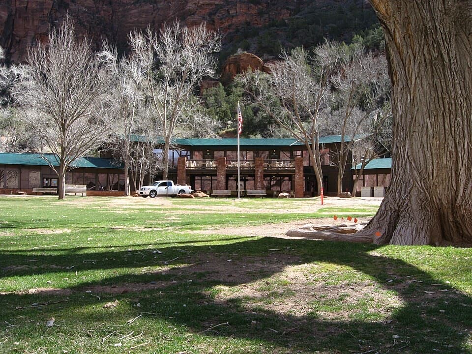 Lodging · 0.9 mi awayZion LodgeThe only in-park lodge, with canyon trails close by.
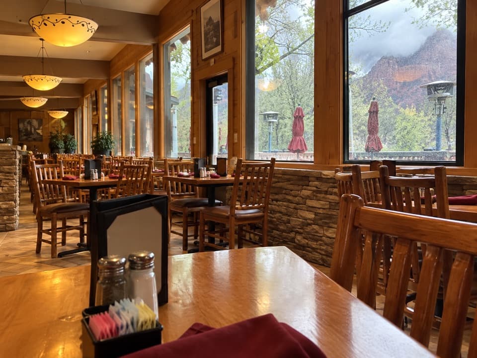 Restaurant · 1 mi awayRed Rock GrillA year-round sit-down meal on the canyon shuttle route.
 Food · 1 mi awayCastle Dome CaféA handy café for quick meals and picnic supplies.
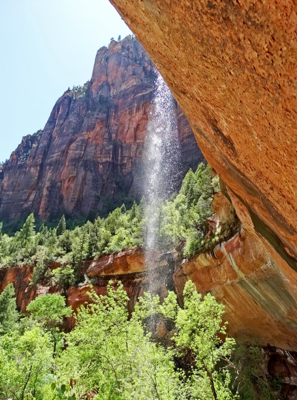 Sight · 1.4 mi awayEmerald PoolsThree cliffside pools, with seasonal falls and a steeper upper climb.
 Sight · 1.4 mi awayLower Pine Creek FallsA small waterfall worth the scramble if rough creek walking suits you.
 Picnic area · 1.6 mi awayThe GrottoA shaded picnic break with a Virgin River view and trail access.
 Sight · 1.8 mi awayCanyon OverlookA short, exposed walk to the view over Pine Creek Canyon.
Parkwolf’s Zion ranking

The audio tour guide for the drive, plus offline maps, trails, and wildlife heatmaps for when the signal drops.




