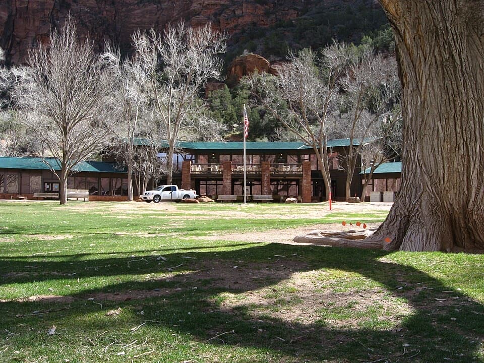
Clear Creek Wash in Zion National Park

Zion National Park, UT

Clear Creek Wash

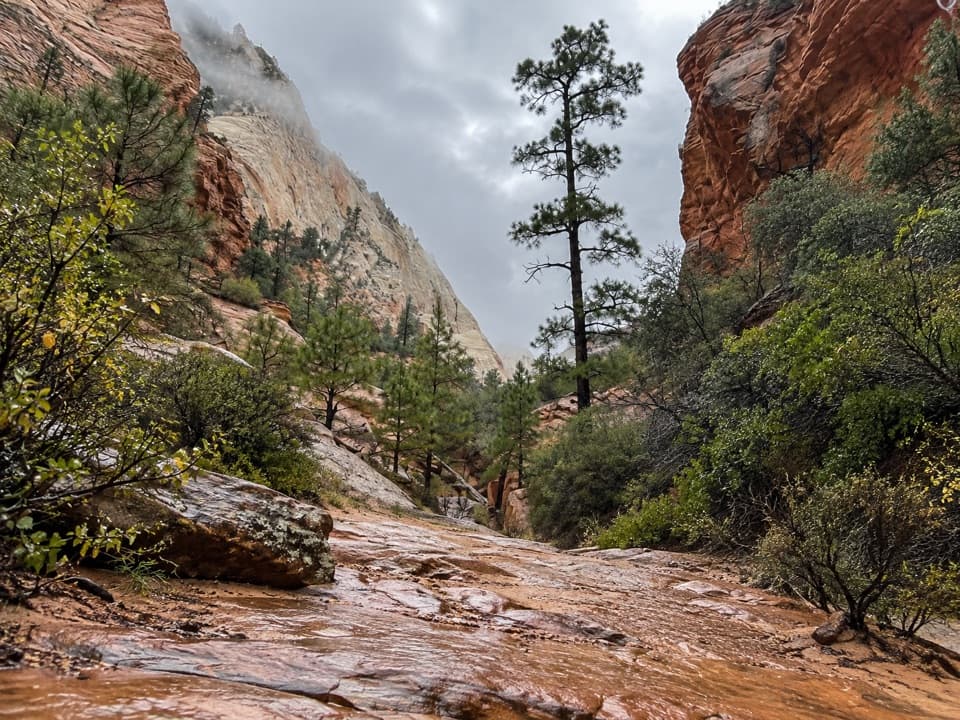
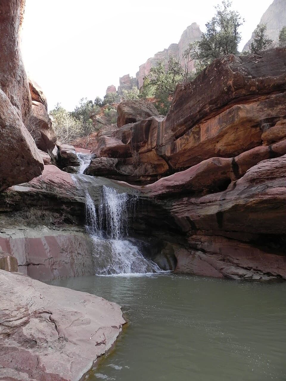
A low arch and three slots punctuate this rocky wash walk.

Photo: Wikimedia Commons
Length
3.8mi
Time
3hr
Elev. change
165ft
Difficulty
Moderate
  • No dogs
  • High point 5,252 ft

Hear the audio tour

Clear Creek Wash

Overview

About Clear Creek Wash

Why go

  • Three changing sandstone slots, including the low arch known as Hobbit Hole.

Heads up

  • Unmarked, uneven streambed; the arch may require crawling.
  • Flash floods, muddy pools or logjams can block the slots.

Map & elevation

The route

Loading the Zion map
Full map
Elevation5,087–5,252 ft
TrailheadClear Creek Wash access west of the small drainage tunnel37.21739, -112.92429
Keep this map with you offline in the Parkwolf app

Plan your hike

Before you go

Parking

Use only a designated Route 9 pullout where the whole vehicle fits. The described access is just west of the small drainage tunnel, about 1.3 miles east of the Zion–Mount Carmel Tunnel; it is not a signed trailhead. Do not park on the shoulder. If no designated space is available, skip this walk.

Safety

Flash floods can fill a dry wash and slot canyon quickly; stay out when the park closes slot canyons for flood risk. Storm runoff may leave mud pools and logjams in the narrow sections. No reliable water is available. Turn around at the large-tunnel bridge; downstream Pine Creek is a separate technical canyoneering route. No pets.

3 active Zion alerts

  • CautionToxic cyanobacteria in Zion waterwaysDo not drink Zion in-stream water, submerge your head, or touch or ingest algae mats; cyanobacteria can produce harmful toxins.Official details
  • ClosureWatchman Trail closed for repairsWatchman Trail is closed pending repairs; do not enter the trail and choose another hike. Check current park conditions before setting out.Official details
See all 3 alerts
A park ranger sits on a dash-mounted phone, talking, as Parkwolf’s Tour Guide plays “Army Cutworm Moths: A Grizzly Bear Buffet” on Grand Loop Road below Dunraven Pass in Yellowstone
Parkwolf Tour GuideThe highest, rockiest slopes around here are a summer buffet for grizzly bears.

Zion Tour Guide

Your drive to Clear Creek Wash, narrated.

Parkwolf is a GPS audio tour guide for Zion National Park. As you drive, it chimes in with what’s ahead: hidden gems, upcoming stops, history, geology, and wildlife, right through your car’s speakers.

See the Zion audio tour

Recorded for this trailhead

Clear Creek Wash
0:00 / 0:30
“You're nearing the roadside access to Clear Creek Wash, for a walk through narrow sandstone slots and the low arch known as Hobbit Hole.”

Plays as you drive up to this trailhead in the Parkwolf Zion Tour Guide.

More stories near here in the app

  • Canyon Overlook
  • A Desert Turned to Stone
  • Zion–Mount Carmel Tunnel and Great Arch
  • How the Canyon Gets Wider
  • 45 audio storiesacross Zion’s roads, triggered by GPS as you drive
  • Wildlife heatmapsfor California Condor, Bighorn Sheep, Mountain Lion, and 13 more
  • Works offlinemaps, 54 trails, 36 places, and audio download before you lose signal
  • CarPlay readysimple controls built for the drive
★★★★★
“Fantastic app with many points of information… It’s great to just turn on while you’re driving and it gives you an audio tour of the national Park. We love it!!!!”
JMJamesApp Store review
Download Parkwolf on the App StoreGet Parkwolf on Google Play

4.7 from 8,600+ ratings

Trail guide

Hiking Clear Creek Wash

Follow the wash between the tunnelsClear Creek Wash is an informal 3.

Clear Creek Wash is an informal 3.8-mile out-and-back from the Route 9 access just west of a small drainage tunnel, about 1.3 miles east of the Zion–Mount Carmel Tunnel. Follow the wash west to the bridge at the large tunnel, then return the same way; the map shows the wash corridor once, while the mileage counts both directions. Allow about three hours. This is a good choice if you want to walk into sandstone slots without taking on a technical canyon descent.

Sand, boulders, then the low archA path of use drops through a side drainage into the creek bed.

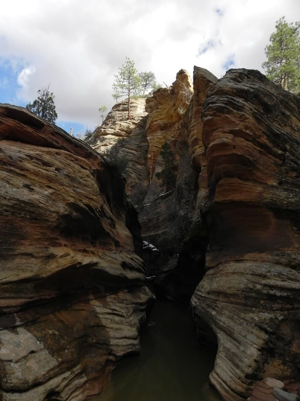
A path of use drops through a side drainage into the creek bed. The first stretch is mostly open, alternating between sand and rocks and boulders. About half a mile in, the canyon tightens into a short slot. Around a mile from the start, look for a low, unofficial arch known as Hobbit Hole; its opening is small enough that you may need to crouch or crawl through.

The deeper endPast the arch, a drainage tunnel marks the confluence with Upper Pine Creek; below it, the wash…

Past the arch, a drainage tunnel marks the confluence with Upper Pine Creek; below it, the wash is named Pine Creek. Two more slot sections deepen on the way to the road bridge at the mouth of the large tunnel. Turn around at the bridge. The canyon downstream is a separate technical canyoneering route with permit and equipment requirements. Canyon Overlook is nearby, but it is a separate hike and is not included in this distance.

Access and conditionsThis is an unsigned, unmaintained walk in an intermittent wash, not a developed trail.

This is an unsigned, unmaintained walk in an intermittent wash, not a developed trail. Sand, loose rocks and boulders make footing uneven, and pools or logjams can block the narrow slots after storms. The wash is usually dry, but runoff can bring water; flash flooding is the serious hazard. Check park conditions and stay out when slot canyons are closed for flood risk. Carry your own water; none was found on the route. The described start is a roadside pullout, not a signed trailhead: use it only if it is a designated pullout where your whole vehicle fits, and never park on the shoulder. Pets are not allowed on this off-road walk.

Wildlife

Wildlife in Zion

All Zion wildlife maps

Sighting maps show where each species has been reported across Zion. Wildlife moves, so no sighting is guaranteed.

Keep exploring

Near Clear Creek Wash

See it all on the map

Trails that start nearby

Places near the trailhead

Parkwolf’s Zion ranking

Top-rated trails in Zion

All 54 trails
  1. 1Angels Landing TrailChallenging · 4.2 mi
  2. 2The Narrows from the Bottom UpChallenging · 9.4 mi
  3. 3Canyon Overlook TrailModerate · 1 mi
  4. 4East Mesa Trail to Observation PointModerate · 6.8 mi
  5. 5Left Fork (Subway) Bottom-UpChallenging · 9 mi
  6. 6West Rim Trail (Top-Down)Challenging · 14.6 mi

Take Parkwolf to Zion.

The audio tour guide for the drive, plus offline maps, trails, and wildlife heatmaps for when the signal drops.

4.7 from 8,600+ ratings

Download Parkwolf on the App StoreGet Parkwolf on Google Play