
Place · 0.2 mi away
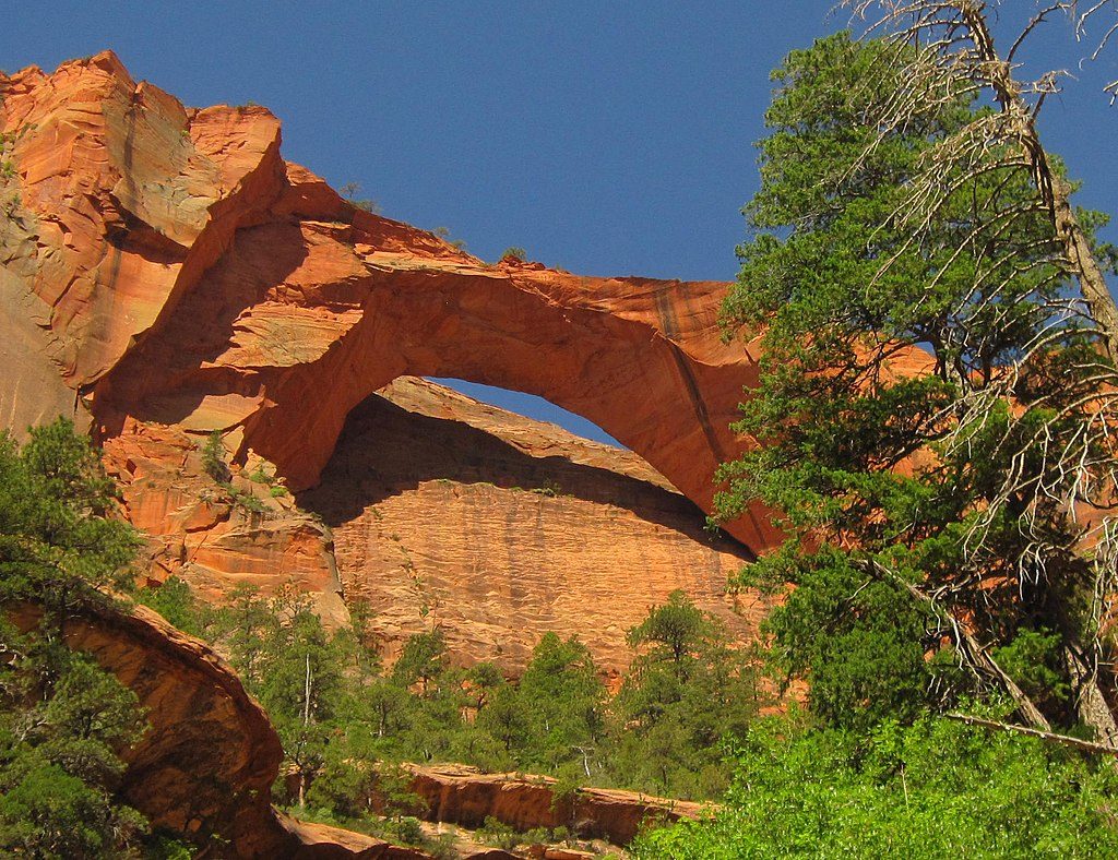
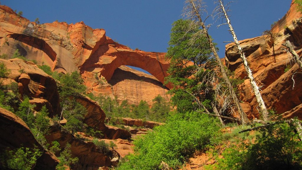
Tucked into the secluded Kolob Canyons district, Kolob Arch rewards determined hikers with big wilderness vibes—towering red walls, a lively creek corridor, and a massive, gracefully thin sandstone span. It’s one of the largest natural arches on Earth, but here the journey is the star: solitude, canyon scenery, and that satisfying “I earned this” feeling.
Most hikers reach Kolob Arch via the La Verkin Creek Trail starting at Lee Pass Trailhead on Kolob Canyons Road (off I‑15). This part of the park is quieter than Zion Canyon, but the road can close in winter for snow or ice—check current conditions before you go. You’ll need a park pass.
Plan on roughly 14 miles round trip with significant cumulative elevation (the last mile back to the trailhead is the steepest). From Lee Pass, the trail drops about 550 feet early on, then follows La Verkin Creek through a broad, scenic canyon. Around 7 miles in, a signed spur climbs about 100 feet to the Kolob Arch viewpoint; expect a short, steeper finish and some light scrambling.
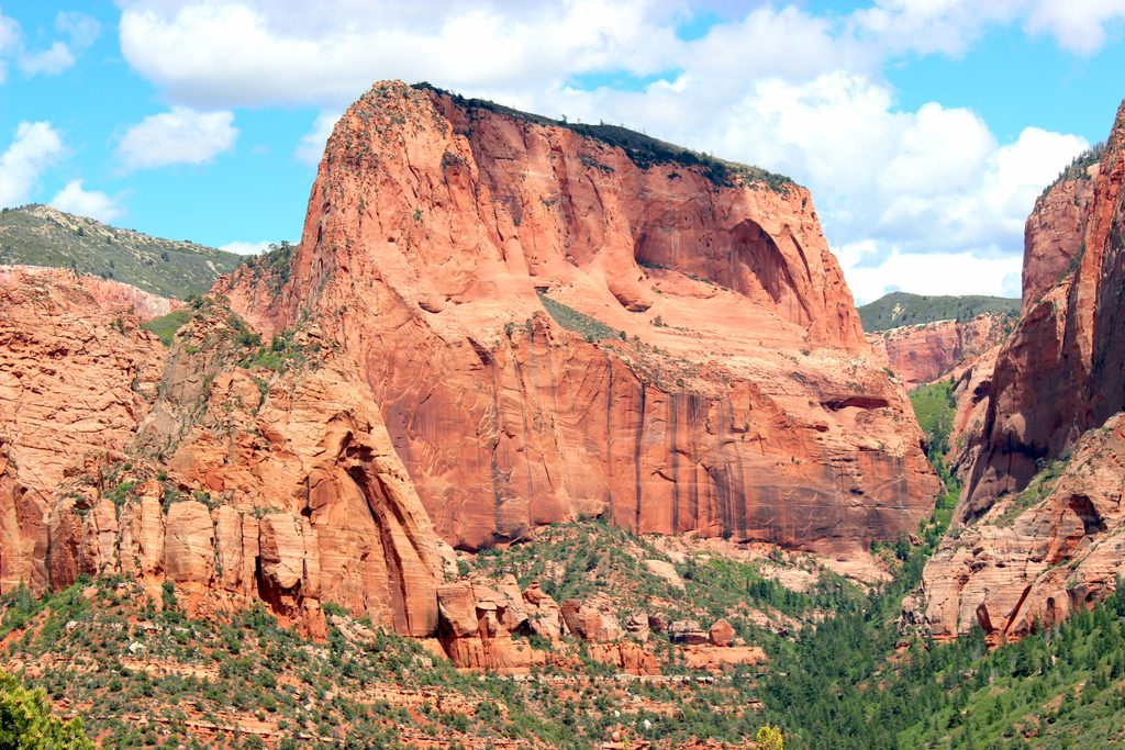
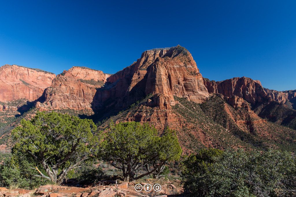
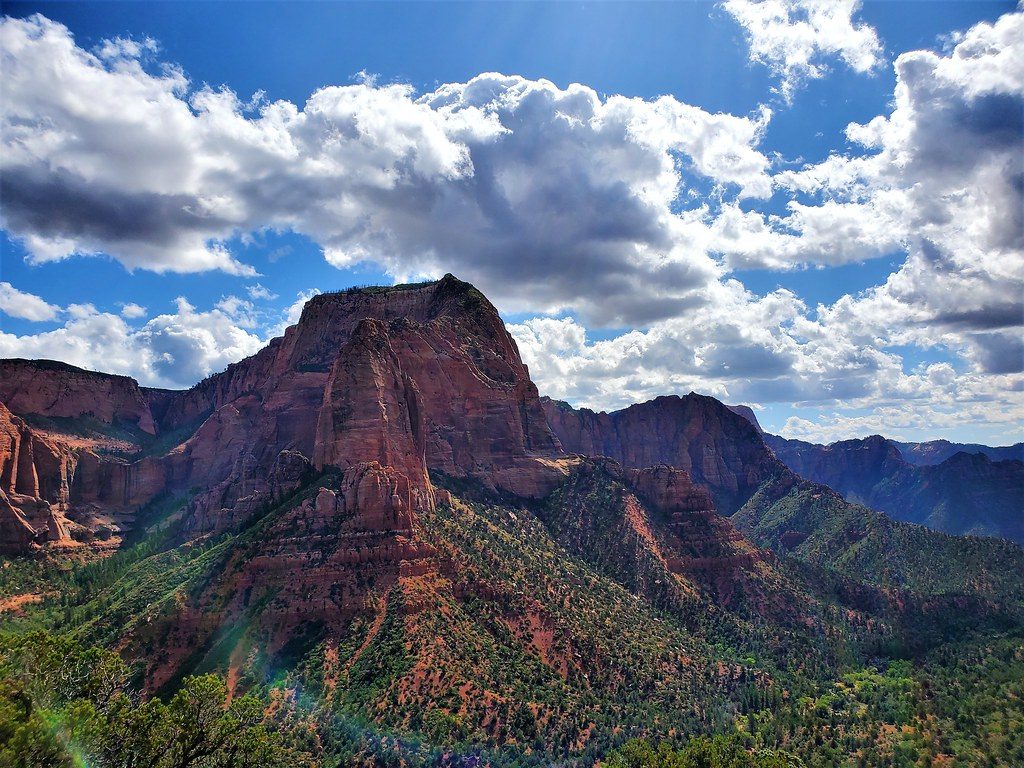
This is classic Kolob country: deep-red Navajo Sandstone walls, Timber Top Mountain and other mesas looming above, and greenery along the creek—especially vivid after spring rains. The arch is viewed at a distance across rugged terrain; you won’t stand beneath it, but the scale is still impressive against the cliff.
A longer through‑route can start at the Hop Valley Trailhead (about 7 miles one way to connect into La Verkin Creek near the arch). There’s also a technical descent of Icebox Canyon that drops into the area near the arch; this route requires canyoneering experience and multiple rappels.
Most of the route is in full sun. Spring and fall are the sweet spots; summer is hot, so start early. After heavy rain, expect more challenging creek crossings. There’s typically no cell service in the canyon.
There’s no potable water on the trail and the creek may carry toxic cyanobacteria—do not drink or filter from it. Carry all the water you need. There are no services on the trail and no restroom at Lee Pass; use facilities before starting.
Keep an eye out for lizards and other desert wildlife along the creek corridor and sun‑warmed rocks.
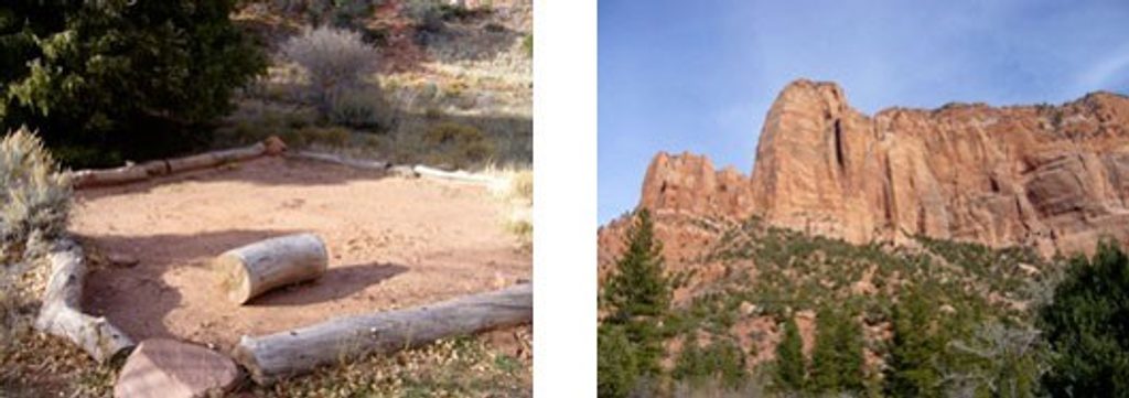
A park entry pass is required. Overnight camping along La Verkin Creek requires a wilderness permit and is limited to designated sites. Day‑use groups are capped at 12 people, and pets are not allowed.
Go in spring or fall for moderate temps and better hiking conditions. Start at first light to maximize daylight and beat heat. Crowds are generally lighter here than the main canyon, and early starts improve your chances for a quiet trail.
Place · 0.2 mi away
Place · 2.4 mi away
Place · 2.5 mi away
Place · 2.5 mi away
Easy · 2.6 mi away
Challenging · 2.7 mi away
Challenging · 2.7 mi away
Moderate · 3.5 mi away

Parkwolf Tour Guide
