Parking
Use the South Fork of Taylor Creek parking area at the bend on Kolob Canyons Road, about 1.2 miles past the Middle Fork lot. Cross the road to the north side of the drainage to find the informal path. A restroom is at the lot.

Zion National Park, UT
A sandy canyon path beneath Kolob’s high red walls.
Overview
Map & elevation
Plan your hike

The highest, rockiest slopes around here are a summer buffet for grizzly bears.
Zion Tour Guide
Parkwolf is a GPS audio tour guide for Zion National Park. As you drive, it chimes in with what’s ahead: hidden gems, upcoming stops, history, geology, and wildlife, right through your car’s speakers.
See the Zion audio tourRecorded for this trailhead
South Fork of Taylor Creek“You're nearing the South Fork of Taylor Creek parking area, for an informal walk beneath close red canyon walls. Allow about three hours for the nearly three-mile round trip, with loose sand and a steep landslide slope.”
Plays as you drive up to this trailhead in the Parkwolf Zion Tour Guide.
More stories near here in the app
“Fantastic app with many points of information… It’s great to just turn on while you’re driving and it gives you an audio tour of the national Park. We love it!!!!”


Trail guide
South Fork of Taylor Creek is an unofficial out-and-back through one of Kolob Canyons’ narrow sandstone fingers. The full mapped path is about 1.5 miles in, then the same way back: plan on just under 3 miles and roughly 3 hours to the canyon head. The reward is a shady sandy floor and close red walls, not a broad overlook. Descriptions range from about 2 to 3 miles; this length follows the complete mapped footpath to the boulder-blocked head.
This is a good pick if you want a quieter side canyon and are comfortable following an informal path. It is separate from the official Middle Fork hike to Double Arch Alcove.
Start at the South Fork parking area on Kolob Canyons Road. Cross the road and look for the path on the north side of the drainage. It splits and braids near the start; follow the clearest, most-used line as it drops toward the canyon, then keep upstream. The sandy tread is unmaintained, and some branches fade into the brush.
The path climbs over an old sandy landslide before easing into a flatter canyon bottom. It stays above the streambed, so the described route does not require wading. The lower approach is more open; taller conifers shade much of the inner canyon.
The canyon tightens between tall sandstone walls, with pitted rock and dark streaks above the sandy floor. The south wall near the upper end is known as the Namaste Wall; climbers use its bolted routes, so give them room and stay on the walking line. For the canyon-mouth view, keep some of the brush in the foreground to show the scale of the cliffs.
The route ends where boulders and a large fall block the upper canyon. Turn around there; there is no maintained hiking continuation beyond it. The return uses the same path, including the sandy climb back over the landslide. Loose sand, braiding tread and that climb make this more involved than a short paved walk, even though the distance is modest.
The trail is not maintained or signed. Watch the canyon forecast: flash floods can move quickly through narrow drainages, so do not enter when storms threaten. Zion allows pets only on the Pa’rus Trail; dogs are not permitted on this route.
Wildlife
 291 sightingsCalifornia CondorMost seen around 11 AMSighting map
 350 sightingsBighorn SheepMost seen around 7 AMSighting map
 22 sightingsMountain LionMost seen around 7 PMSighting map
 1,326 sightingsMule DeerMost seen around 6 AMSighting map
 23 sightingsGolden EagleMost seen around 10 AMSighting map
 15 sightingsPeregrine FalconMost seen around 7 AMSighting map
Sighting maps show where each species has been reported across Zion. Wildlife moves, so no sighting is guaranteed.
Keep exploring
 ChallengingLa Verkin Creek Trail to Kolob Arch14 mi · 8 hr · 0.4 mi awayA long creek walk earns a distant view of Kolob Arch.
 ChallengingTrans-Zion Trek37 mi · 1 day · 0.4 mi awayA backcountry crossing from Kolob's creek canyons to Zion Canyon.
 ChallengingLa Verkin Creek Trail to Bear Trap Canyon Falls18.1 mi · 11 hr · 0.4 mi awayAn 18-mile out-and-back to Bear Trap Canyon Falls in red sandstone.
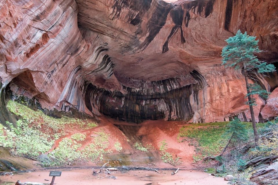 ModerateTaylor Creek Trail5.2 mi · 3.5 hr · 0.9 mi awayTwo homestead cabins lead to a shaded sandstone alcove.
 ModerateNorth Fork of Taylor Creek5.5 mi · 4 hr · 0.9 mi awayA quiet canyon walk, an easy to miss fork and small arch.
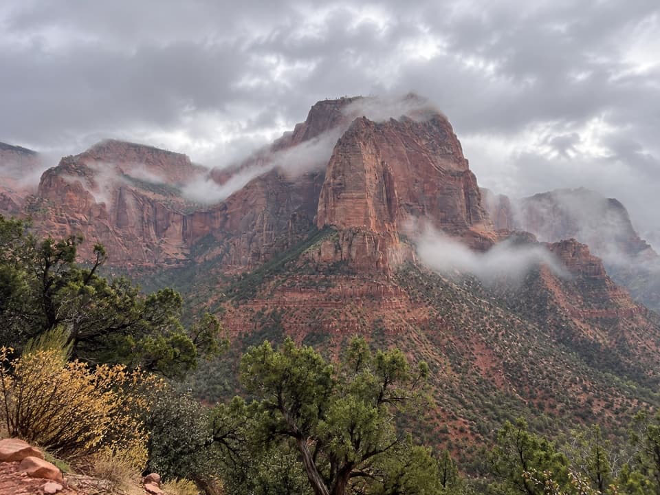 EasyTimber Creek Overlook Trail1.2 mi · 45 min · 1.7 mi awayShort ridge, red cliffs, and a long look toward Pine Valley.
 ChallengingCamp Creek Hike8.5 mi · 5.5 hr · 3.5 mi awayA rough canyon walk to twin stone portals and pitted red walls
 ModerateConnector Trail5.1 mi · 2.5 hr · 8.8 mi awayOpen meadows and slickrock connect two Kolob trailheads.
 Sight · 0.5 mi awayLarson CabinA 1931 log cabin marks a homestead that never quite took hold.
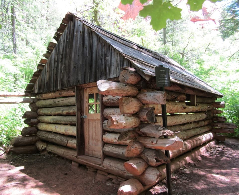 Sight · 0.9 mi awayFife CabinA small 1930s homestead gives the creek hike a human story.Sight · 1.2 mi awayDouble Arch AlcoveA streaked sandstone alcove caps a creek-crossing hike.
 Sight · 1.6 mi awayKolob Canyons ViewpointA five-mile drive earns a sweeping view of red finger canyons.
 Sight · 2.2 mi awayTimber Creek OverlookA rocky ridge walk to Kolob’s wide southern horizon.
 Visitor center · 2.2 mi awayKolob Canyons Visitor CenterYour required pass stop before Kolob's five-mile scenic road.
 Sight · 2.9 mi awayKolob ArchA full-day canyon hike to an arch you see from afar.
 Campground · 9.7 mi awayLava Point CampgroundSix tent sites on Zion's high, remote Kolob Terrace.
Parkwolf’s Zion ranking

The audio tour guide for the drive, plus offline maps, trails, and wildlife heatmaps for when the signal drops.




