Parking
Pigeon Saddle on Tōtaranui Road, at the Inland Track crossing. A roadside layby and DOC sign mark the access; parking capacity and fees are not published.
Abel Tasman National Park, TA
A steep forest climb to a hut above Awaroa Inlet.
Overview
Map & elevation
Plan your hike

The highest, rockiest slopes around here are a summer buffet for grizzly bears.
Abel Tasman Tour Guide
Parkwolf is a GPS audio tour guide for Abel Tasman National Park. As you drive, it chimes in with what’s ahead: hidden gems, upcoming stops, history, geology, and wildlife, right through your car’s speakers.
Recorded for this trailhead
Pigeon Saddle and Awapoto Hut“You're approaching Pigeon Saddle, the roadside start for the walk to Awapoto Hut. This is a steep, rough forest tramp, with five kilometres and about three hours each way.”
Plays as you drive up to this trailhead in the Parkwolf Abel Tasman Tour Guide.
More stories near here in the app
“Fantastic app with many points of information… It’s great to just turn on while you’re driving and it gives you an audio tour of the national Park. We love it!!!!”


Trail guide
Pigeon Saddle to Awapoto Hut follows 5 km of the Inland Track each way, returning on the same route for about 10 km (6.2 miles). DOC allows three hours one way, so plan roughly six hours of walking before long stops. It is a steep, advanced tramp through forest to a 12-bunk hut, with a bay view along the way. Choose it when you want an inland hut walk away from the park’s beaches; this is a full-day commitment even if you turn around at the hut.
The track climbs and undulates through bush. Near the midpoint, a rocky outcrop opens to a view across Wainui Bay; after it, the path dips and climbs again over rough ground before the short hut access. DOC grades the Inland Track advanced. Descriptions differ on how well defined or overgrown the tread feels, so allow time for careful footing. The outcrop is the best photo stop: keep some of its rock in the foreground with the bay beyond.
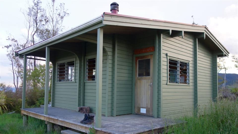
The clearing around the hut opens toward the bay above Awaroa Inlet. Awapoto is a standard hut with 12 bunks, mattresses, heating and a non-flush toilet. Its water is untreated and must be boiled. The hut is first come, with no bookings, and fees apply; take your own food and check DOC’s current hut-ticket rules if staying overnight.
Start at Pigeon Saddle, where the Inland Track crosses Tōtaranui Road. A roadside layby, DOC sign and intentions book are described at the access; parking capacity is not published. Carry water for the walk. Pets and domestic animals are not allowed in the national park; assistance-animal exceptions follow DOC rules.
Wildlife
 10 sightingsKeaMost seen around 10 AMSighting map
 54 sightingsNew Zealand Fur SealMost seen around 10 AMSighting map
 20 sightingsLittle PenguinMost seen around 9 PMSighting map
 21 sightingsSouth Island KākāMost seen around 5 PMSighting map
 526 sightingsWekaMost seen around 9 AMSighting map
 16 sightingsTūīMost seen around 7 AMSighting map
Sighting maps show where each species has been reported across Abel Tasman. Wildlife moves, so no sighting is guaranteed.
Keep exploring
 ModerateWainui Falls Track3.4 km · 1.3 hr · 2.5 km awayGranite boulders, a swing bridge and a waterfall for a short walk.
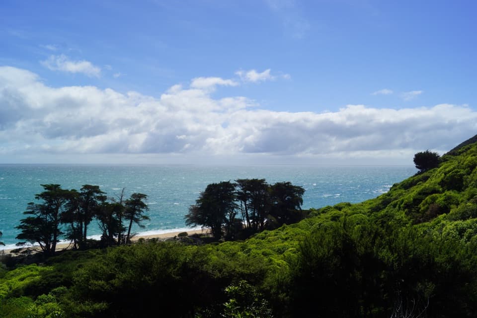 ModerateWainui to Whariwharangi Bay11.4 km · 4 hr · 2.7 km awayA saddle climb to a historic homestead beside a northern bay.
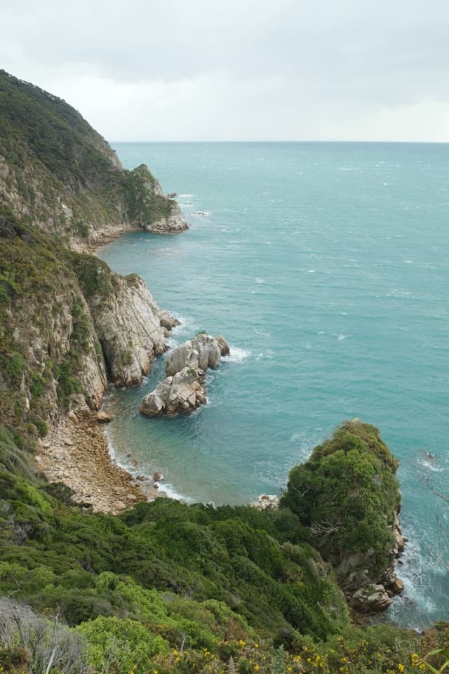 ModerateWainui to Separation Point17.8 km · 5 hr · 2.7 km awayReach the rocky divide between Golden Bay and Tasman Bay.
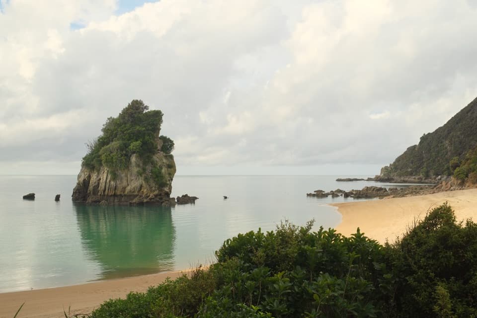 ModerateTaupō Point Track5 km · 2.5 hr · 2.7 km awayA tide-sensitive coast walk with Māori heritage and limestone stacks.
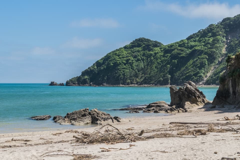 EasyWainui Bay Beach Walk2.3 km · 45 min · 2.7 km awayA short track opens onto an inlet-mouth beach.
 ModerateTōtaranui to Anapai Bay6.4 km · 2.5 hr · 3.2 km awayA low saddle leads to Anapai’s divided beach and granite stacks.
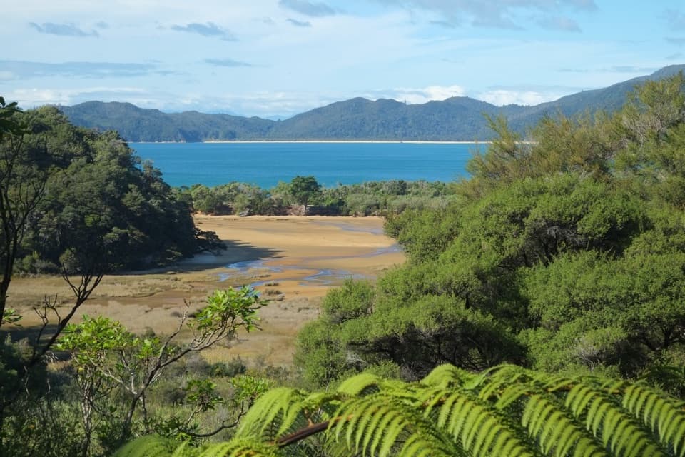 ChallengingGibbs Hill to Whariwharangi Bay Loop Track18.3 km · 5.5 hr · 3.2 km awayA steep ridge and a restored homestead reward the coastal loop.ModerateTōtaranui to Whariwharangi Bay9.8 km · 3.3 hr · 3.2 km awayBeach coves and kānuka headlands lead to a restored homestead.
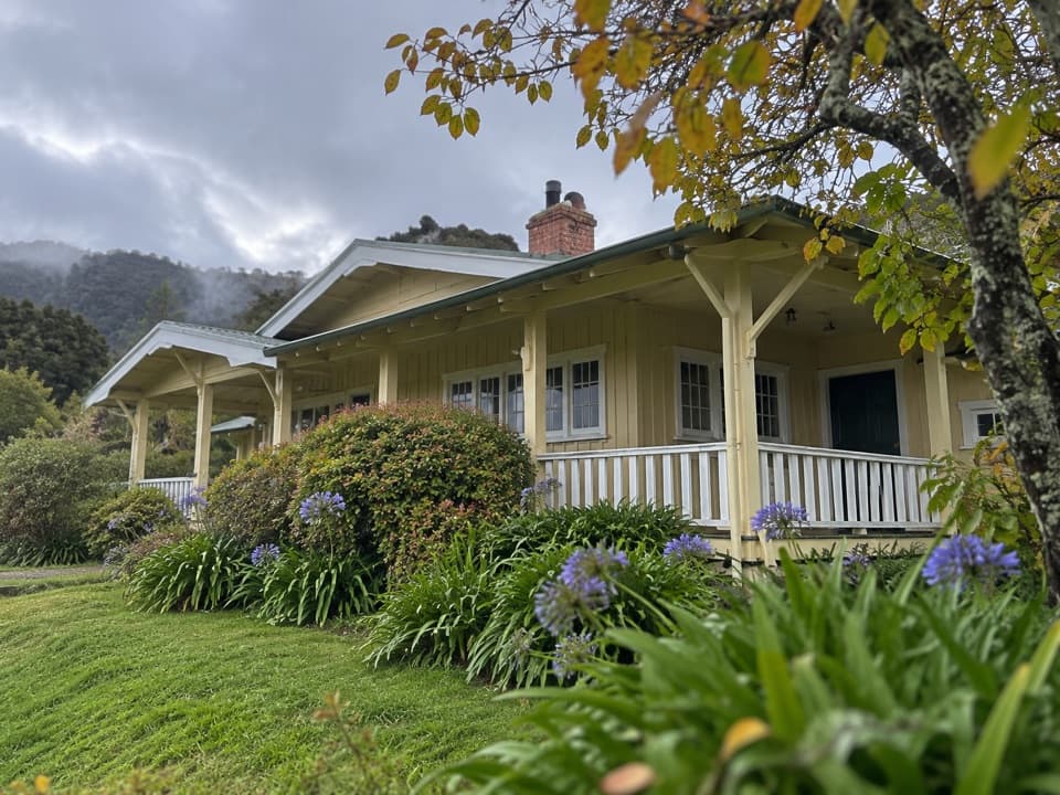 Lodging · 2.9 km awayNgarata HomesteadA 1914 homestead group stay for exploring Tōtaranui
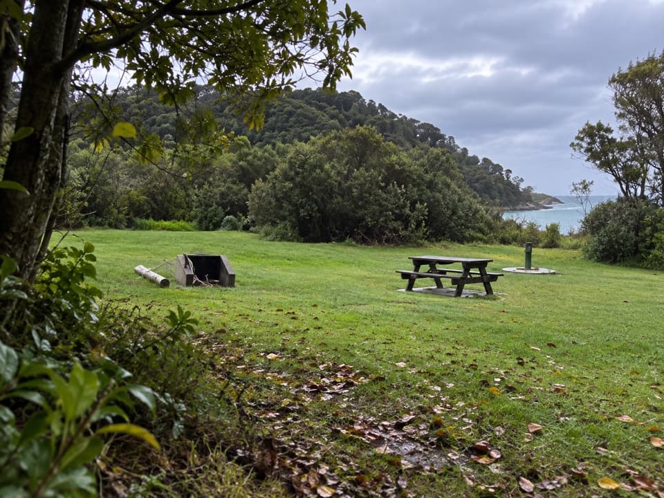 Campground · 3 km awayTōtaranui Great Walk CampsiteTwenty tent sites put you beside the beach on the Coast Track.
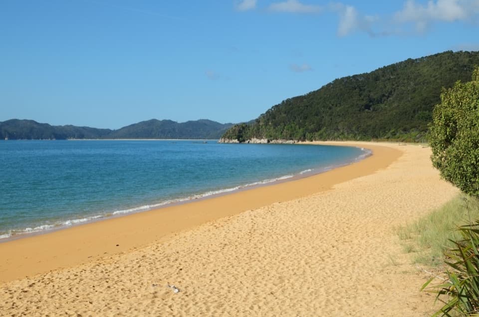 Campground · 3.2 km awayTōtaranui Beach and CampgroundA big campground by the beach, beyond a long gravel approach.
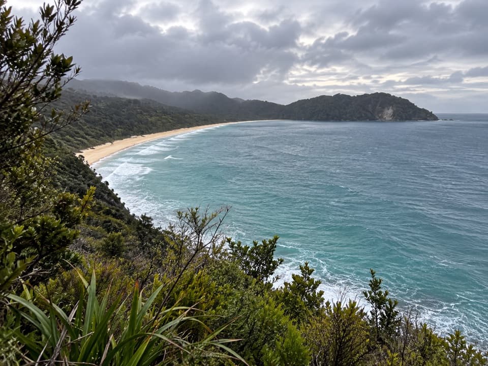 Sight · 3.5 km awaySkinner Point LookoutA high view takes in both Tōtaranui Beach and Goat Bay.
 Beach · 3.7 km awayGoat BayA beach stop on the tide-sensitive northern Coast Track.
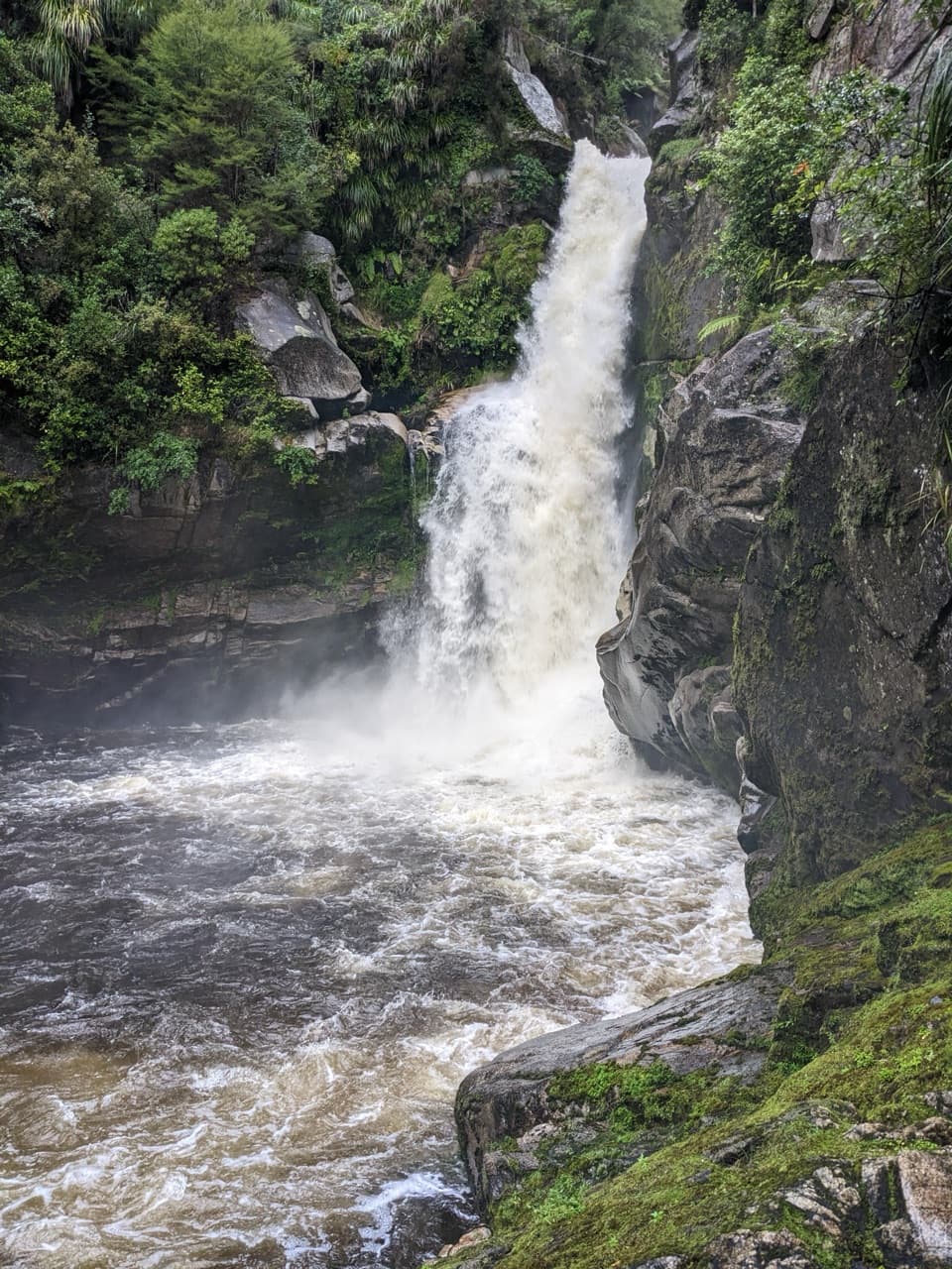 Sight · 3.9 km awayWainui FallsGranite, palms and a powerful waterfall reward the forest walk.Lodging · 4.2 km awayAwapoto HutA 12-bunk backcountry stop with an estuary view from the deck.
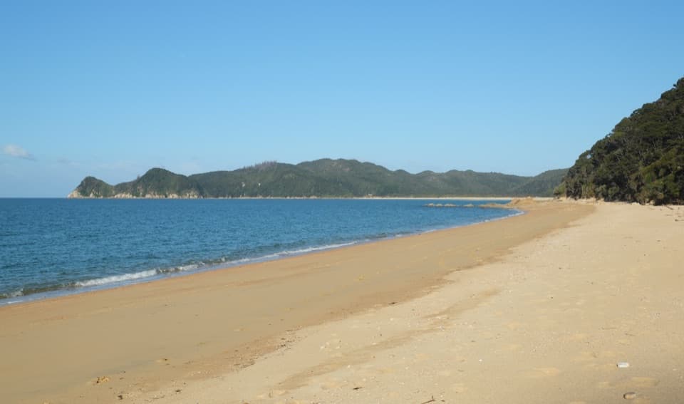 Campground · 4.4 km awayWaiharakeke BayA bush-fringed campsite a short walk from a sandy bay.
Parkwolf’s Abel Tasman ranking

The audio tour guide for the drive, plus offline maps, trails, and wildlife heatmaps for when the signal drops.



