Overview
About Tōtaranui Beach and Campground
Why stop
- The estuary and several walks are right beside camp.
Heads up
- The final 12 km is narrow, winding and unsealed.
Map
Where it is

The highest, rockiest slopes around here are a summer buffet for grizzly bears.
Abel Tasman Tour Guide
Your drive to Tōtaranui Beach and Campground, narrated.
Parkwolf is a GPS audio tour guide for Abel Tasman National Park. As you drive, it chimes in with what’s ahead: hidden gems, upcoming stops, history, geology, and wildlife, right through your car’s speakers.
Recorded for this place
Tōtaranui Beach and Campground“You're coming up on Tōtaranui Beach and Campground, where the long golden beach is just across the road from the main camp.”
Plays as you drive up to Tōtaranui Beach and Campground in the Parkwolf Abel Tasman Tour Guide.
More stories near here in the app
- The Tide Sets the Walking Day
- The Coughs in the Birdsong
- A Fur Seal's Night Shift
- Pigeon Saddle and Awapoto Hut
- 23 audio storiesacross Abel Tasman’s roads, triggered by GPS as you drive
- Wildlife heatmapsfor Kea, New Zealand Fur Seal, Little Penguin, and 13 more
- Works offlinemaps, 43 trails, 65 places, and audio download before you lose signal
- CarPlay readysimple controls built for the drive
“Fantastic app with many points of information… It’s great to just turn on while you’re driving and it gives you an audio tour of the national Park. We love it!!!!”


Guide
More about Tōtaranui Beach and Campground
Stay by the beachTōtaranui Beach and Campground is a large campground at the northern end of Abel Tasman…
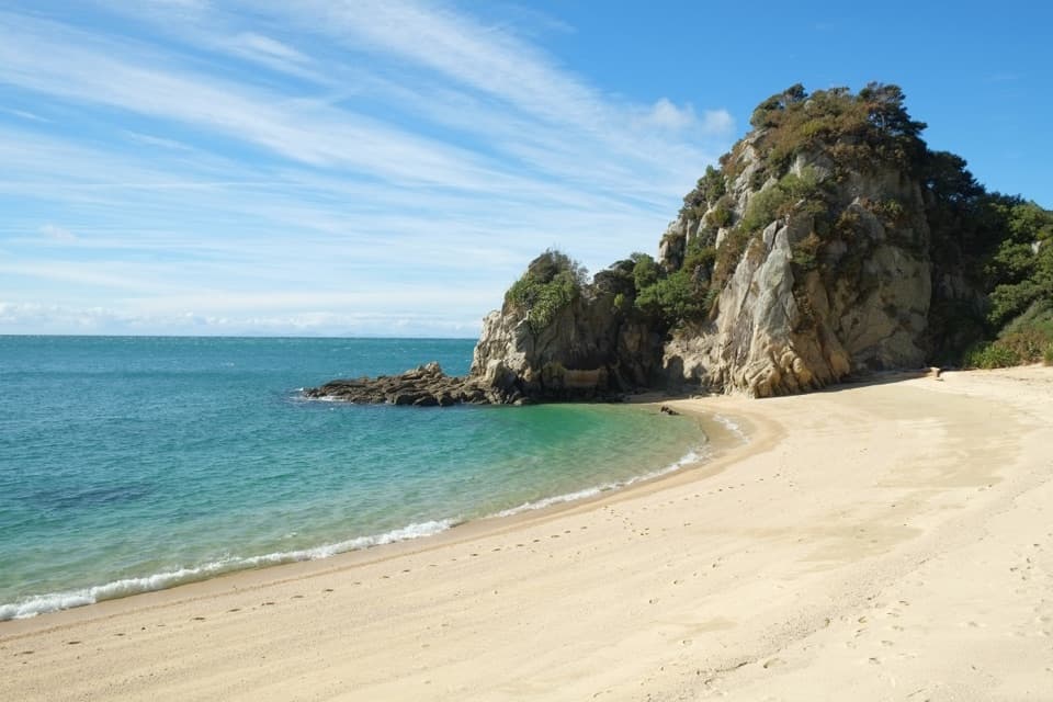
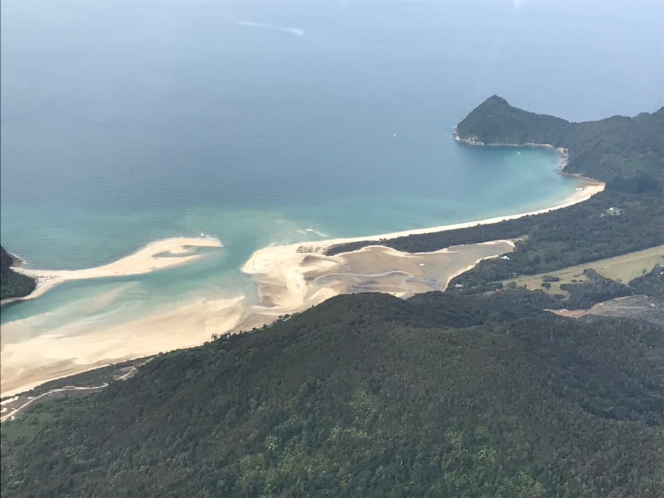
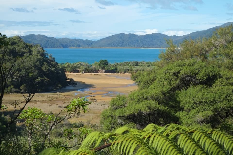
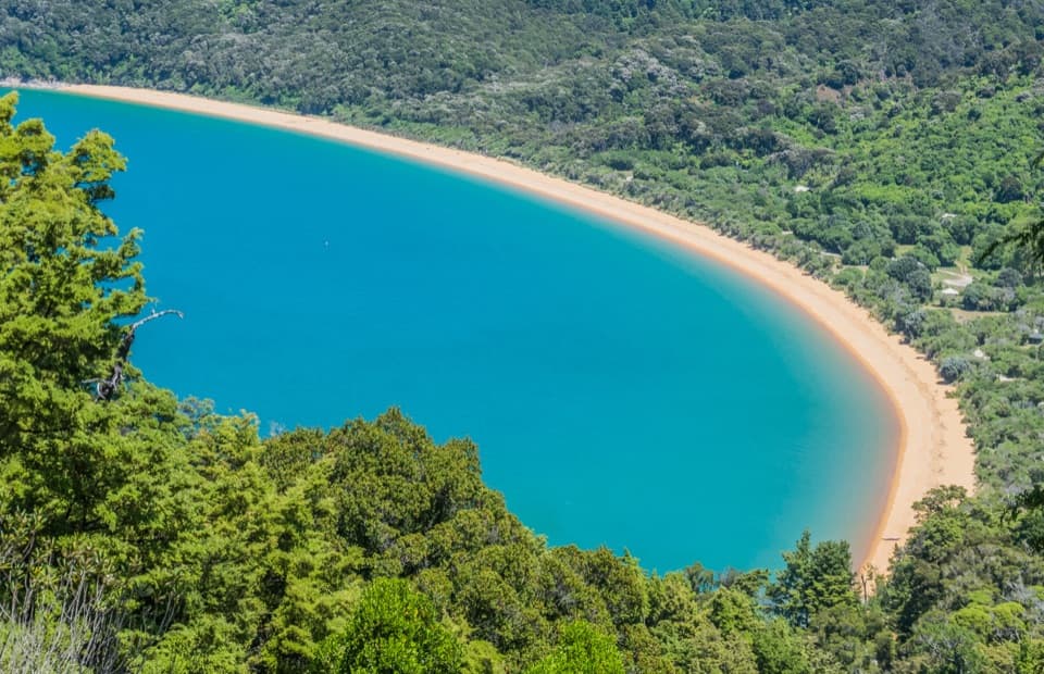
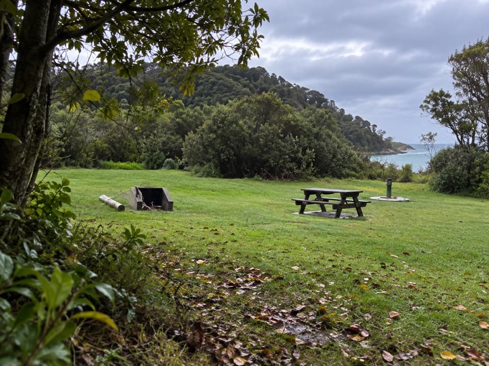
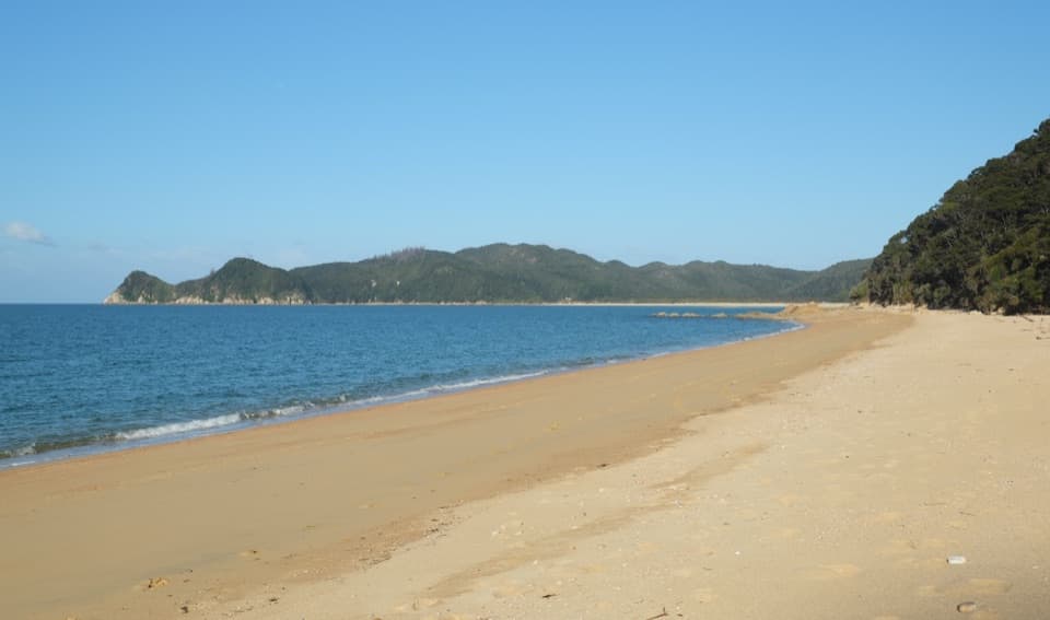
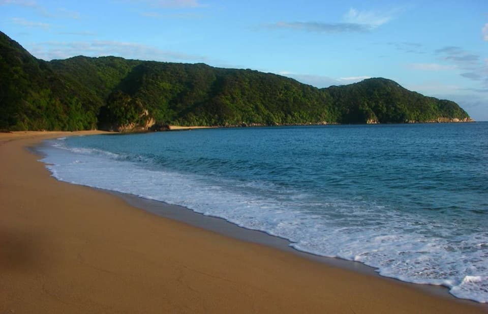
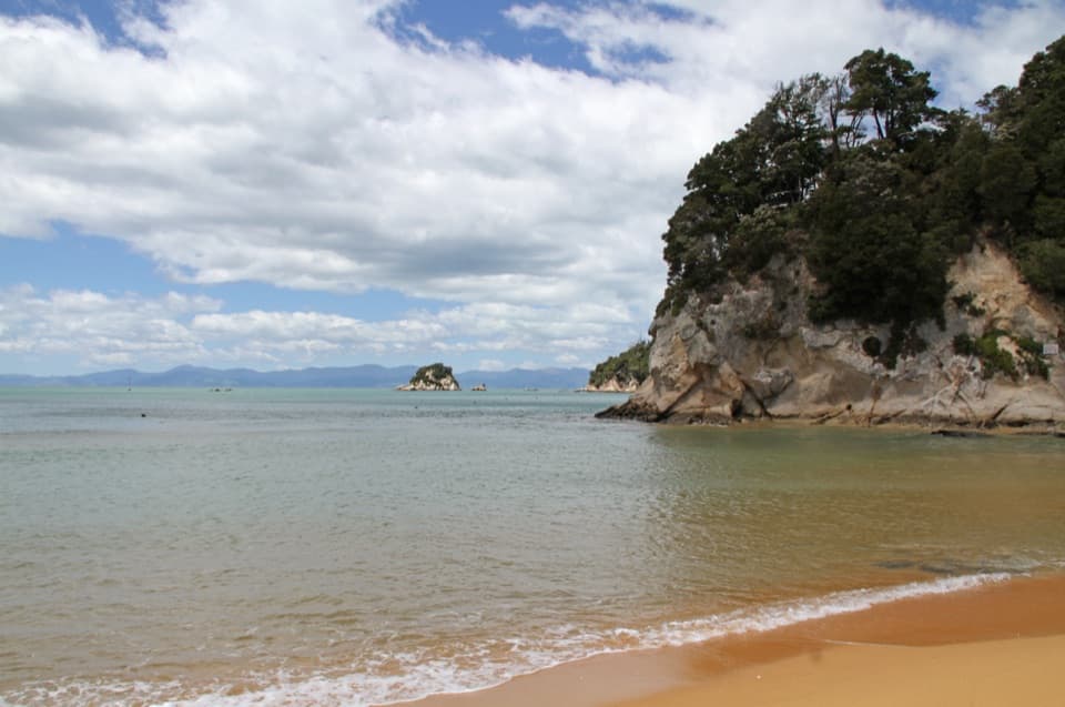
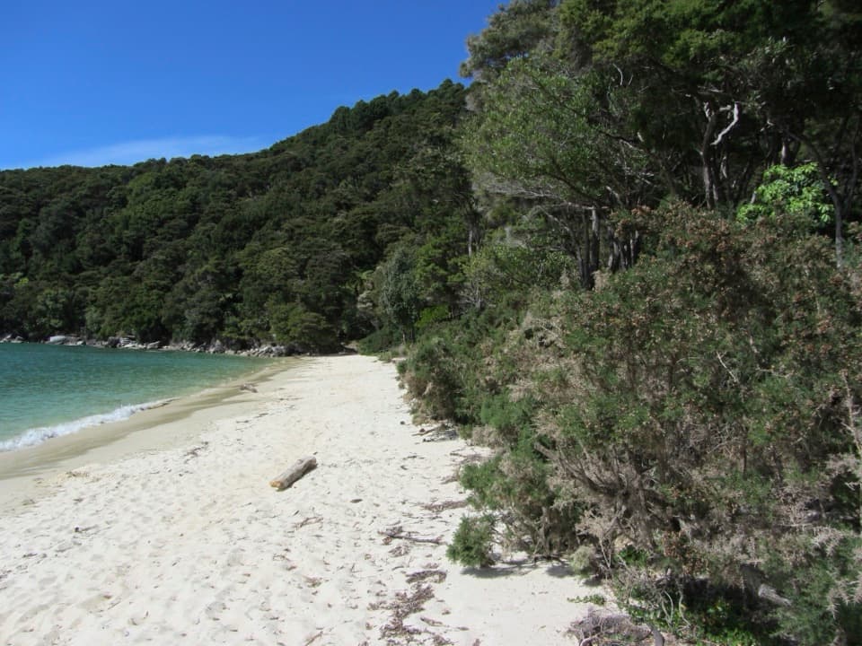
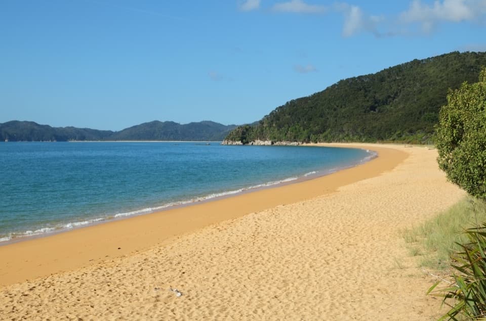
Tōtaranui Beach and Campground is a large campground at the northern end of Abel Tasman National Park. The main camp sits beside the tidal estuary, with the long golden beach just across the road; a separate beach-side zone is reserved for Coast Track walkers. Come for a stay that mixes beach time with walks from camp. It takes some commitment to get here, so I would not treat it as a quick detour.
Plan for the roadFrom Nelson, allow about two and a half hours via Tākaka and Pōhara.
From Nelson, allow about two and a half hours via Tākaka and Pōhara. The final 12 km is narrow, winding and unsealed, so leave time for a slow drive. Book ahead for summer holidays and public holiday weekends; no walk-in spaces are held when the campground is full. Its gates are locked overnight, and mobile coverage is unreliable, so sort out directions before leaving coverage.
Choose your camping zoneThere are 269 non-powered sites divided into 23 zones by shelter belts, with six amenity blocks…
There are 269 non-powered sites divided into 23 zones by shelter belts, with six amenity blocks spread through the grounds. The main sites run along the estuary; the beach-side zone is for Coast Track walkers. Showers are cold, and campers take their rubbish and recycling back out. The office sells basics such as ice and insect repellent, plus snacks, but it is not a meal stop. Pick up groceries in Pōhara or Tākaka before the drive. Dogs are not allowed. Keep food secured too: visitors report that weka will get into unattended supplies.
Beach, estuary and walksYou can swim, kayak or fish here, and the estuary is the place to play when the tide is in.
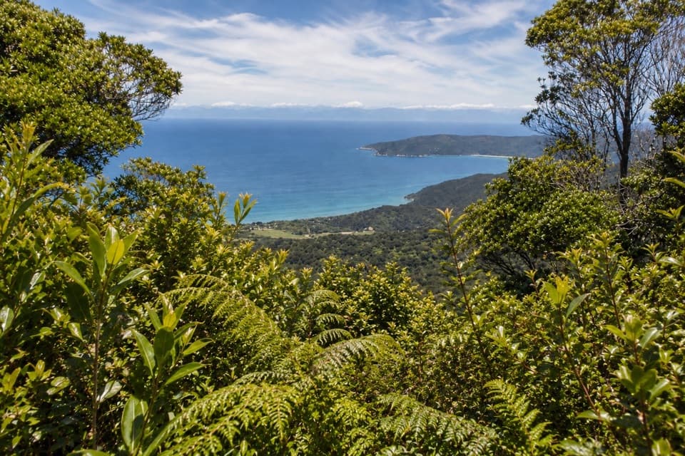
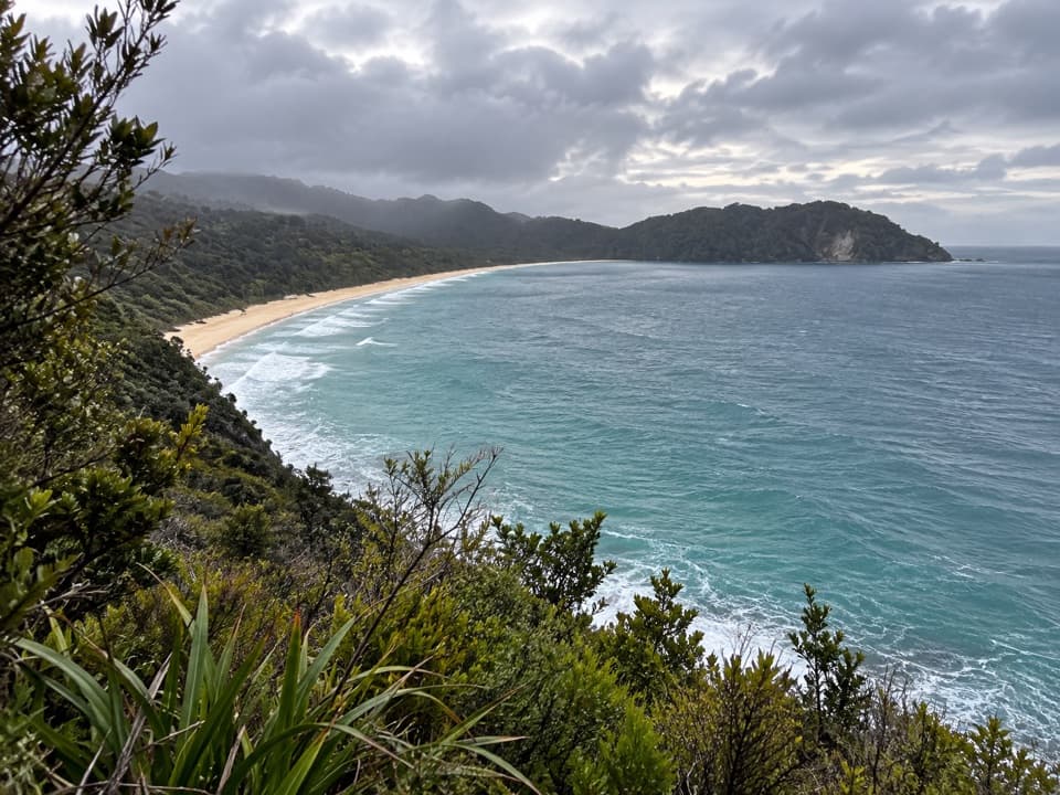
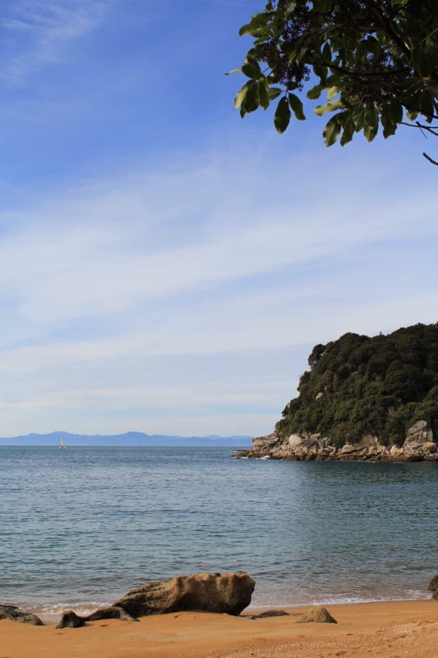
You can swim, kayak or fish here, and the estuary is the place to play when the tide is in. Tides also shape the Coast Track crossings, so check them before setting out. Pukatea Walk and Headlands Track start from camp; Headlands Track gives you a view over the bay, and the Coast Track heads south toward Goat Bay and Awaroa. For a higher view of Tōtaranui's curve, take Headlands Track. From the beach, keep the wooded point in the frame to show how the sand sweeps around it.
A campground with a longer historyThe government bought the Tōtaranui property in 1948, and the beach soon became a popular…
The government bought the Tōtaranui property in 1948, and the beach soon became a popular camping spot. By the summer holidays of 1959, about 500 people were camping here despite the rough access road. The campground has grown into 23 zones, but that long, slightly out-of-the-way beach stay is still the reason to make the drive.
The Gibbs estate and NgarataBefore it was a campground, Tōtaranui was a family estate.
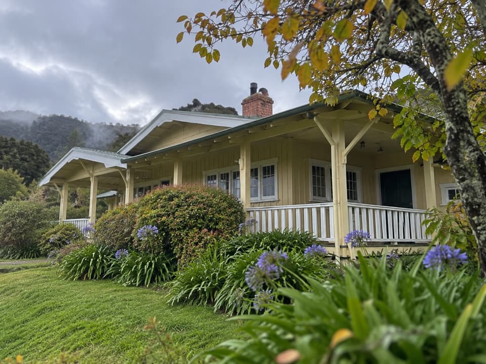
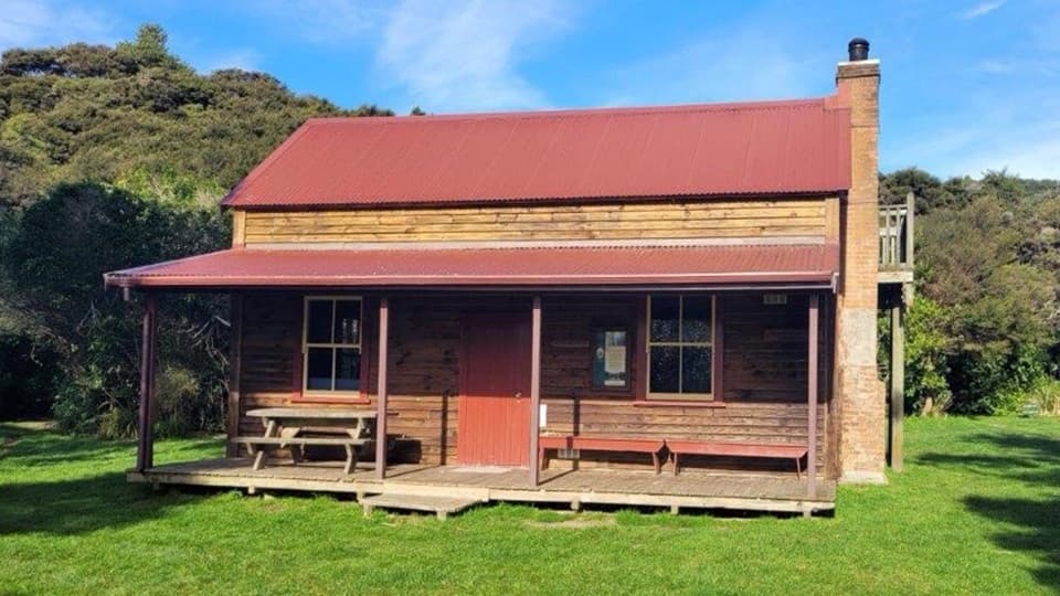
Before it was a campground, Tōtaranui was a family estate. William Gibbs had a house and two cottages here. In 1856, his daughter Hannah and Jimmy Perrot planted an avenue of alternating plane and macrocarpa trees; plane-tree cuttings later went to Nelson for street plantings. Ngarata, now a separate bookable group education centre, was built in 1914 for Herbert Pratt in California-bungalow style from locally milled timber.
Wildlife
Wildlife in Abel Tasman
 10 sightingsKeaMost seen around 10 AMSighting map
 54 sightingsNew Zealand Fur SealMost seen around 10 AMSighting map
 20 sightingsLittle PenguinMost seen around 9 PMSighting map
 21 sightingsSouth Island KākāMost seen around 5 PMSighting map
 526 sightingsWekaMost seen around 9 AMSighting map
 16 sightingsTūīMost seen around 7 AMSighting map
Sighting maps show where each species has been reported across Abel Tasman. Wildlife moves, so no sighting is guaranteed.