Parking
Start and finish at the Tōtaranui camp office; follow Avenue Road and the Coast Track north. The final 12 km road to Tōtaranui is narrow, winding and unsealed.
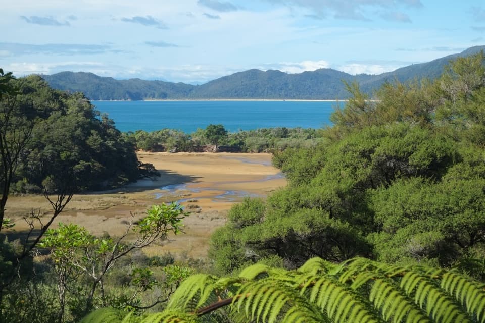
#8 of 43 trails in Abel Tasman
Abel Tasman National Park, TA
A steep ridge and a restored homestead reward the coastal loop.
Overview
Map & elevation
Plan your hike

The highest, rockiest slopes around here are a summer buffet for grizzly bears.
Abel Tasman Tour Guide
Parkwolf is a GPS audio tour guide for Abel Tasman National Park. As you drive, it chimes in with what’s ahead: hidden gems, upcoming stops, history, geology, and wildlife, right through your car’s speakers.
Recorded for this trailhead
Tōtaranui Beach and Campground“You're coming up on Tōtaranui Beach and Campground, where the long golden beach is just across the road from the main camp.”
Plays as you drive up to this trailhead in the Parkwolf Abel Tasman Tour Guide.
More stories near here in the app
“Fantastic app with many points of information… It’s great to just turn on while you’re driving and it gives you an audio tour of the national Park. We love it!!!!”


Trail guide
This is an 18.3 km loop from Tōtaranui over Gibbs Hill to Whariwharangi Bay, then back along the Coast Track past Mutton Cove and Anapai Bay. Allow about 5½ hours of walking; it is classed as an advanced tramping track, so it suits a full day and people ready for a steep inland climb. Start at the Tōtaranui camp office, follow Avenue Road and the Coast Track north, then turn left just beyond the concrete bridge at about 1.4 km. This is the Tōtaranui circuit; a Wainui start or the separate Separation Point spur adds a different route.
After a ford, the Gibbs Hill track climbs for about 3 km, with steep sections. Much of it follows an old fire-access route through open country and dry, regenerating gorse and mānuka rather than sheltered forest. At the ridge junction, turn right toward the summit. The route directions allow about 1½ hours to reach the top. Keep your bearings at junctions: the track branches toward several different park entrances and coast routes.
Gibbs Hill rises to roughly 400 m. From the open ridge, the view sweeps from Nelson around D’Urville Island to Farewell Spit and Golden Bay; on a clear winter day, Mt Taranaki may appear in the distance. This is the high point of the circuit and its main payoff. For a photo, include a strip of ridgeline in the foreground so the islands and long curve of coast have scale.
Descend from the summit and keep right at the next junction for Whariwharangi Bay; allow about an hour from the top. The hut sits in a grassy clearing among regenerating bush, a welcome place to pause before the longer coast leg. It has 20 bunks and needs to be booked for an overnight stay; there is no gas cooking or lighting, so overnight visitors need their own stove and light.
Whariwharangi Hut began as a farmhouse built by John Handcock around 1896. He and his family lived in the valley for 15 years. The homestead was last occupied in 1926, the farm continued until 1972, and the park board restored the building in 1980. Look for its veranda, twin brick chimneys and the original timber staircase and wall panelling. It is a reminder that this northern corner was once working farmland, not just a remote stop on the coast.
From the bay, follow the Coast Track south past Mutton Cove and Anapai Bay to Tōtaranui; this leg takes about three hours. It is a substantial walk after the hill, so leave enough daylight and energy for it. The campground has six amenity blocks and filtered tap water; the camp office has maps and snack items, but there is no meal stop along the circuit.
There is no water on the Gibbs Hill ridges. Fill up at Tōtaranui; water is available again at Whariwharangi and Coast Track campsites. Treat untreated park water because Giardia has been found in some sources. Wasps are more common from December through April; anyone allergic to stings should carry antihistamine. Dogs are not allowed on the track.
Wildlife
 10 sightingsKeaMost seen around 10 AMSighting map
 54 sightingsNew Zealand Fur SealMost seen around 10 AMSighting map
 20 sightingsLittle PenguinMost seen around 9 PMSighting map
 21 sightingsSouth Island KākāMost seen around 5 PMSighting map
 526 sightingsWekaMost seen around 9 AMSighting map
 16 sightingsTūīMost seen around 7 AMSighting map
Sighting maps show where each species has been reported across Abel Tasman. Wildlife moves, so no sighting is guaranteed.
Keep exploring
 ModerateTōtaranui to Anapai Bay6.4 km · 2.5 hr · At the trailheadA low saddle leads to Anapai’s divided beach and granite stacks.ModerateTōtaranui to Whariwharangi Bay9.8 km · 3.3 hr · At the trailheadBeach coves and kānuka headlands lead to a restored homestead.
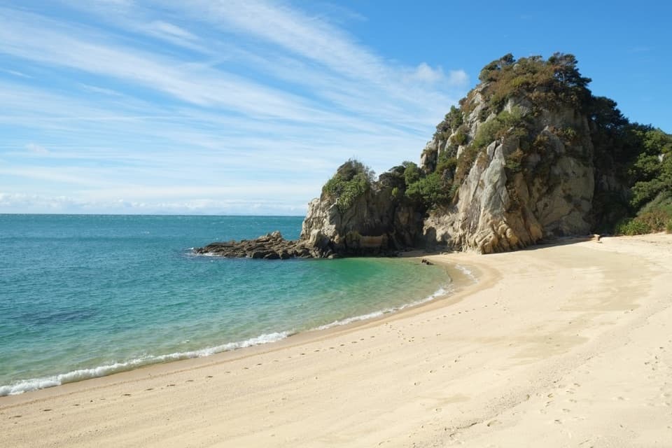 ModerateTōtaranui to Separation Point14.4 km · 4.5 hr · At the trailheadGolden beaches, nikau gullies, and a headland between two bays.
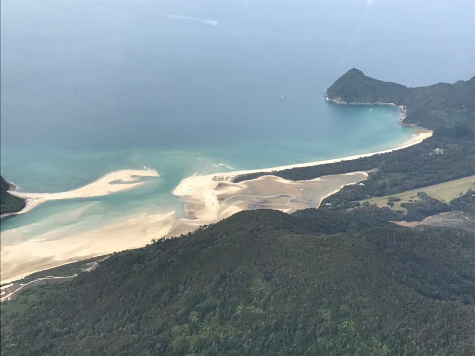 ModerateTōtaranui to Awaroa Bay9 km · 3 hr · At the trailheadA low-tide crossing turns this coast walk into a proper outing.
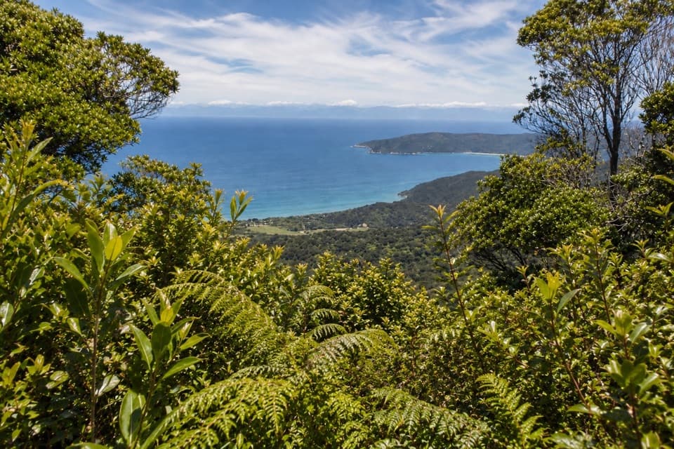 ChallengingGibbs Hill Track from Tōtaranui9 km · 3.8 hr · At the trailheadSteep climb from Tōtaranui to a clear-day bay panorama.
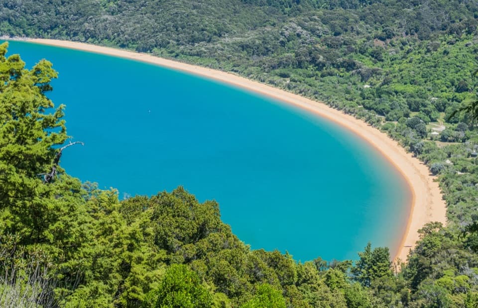 ModerateHeadlands Track3.8 km · 1.3 hr · 0.5 km awayA wooded headland walk with a pocket view of Tōtaranui and Awaroa.
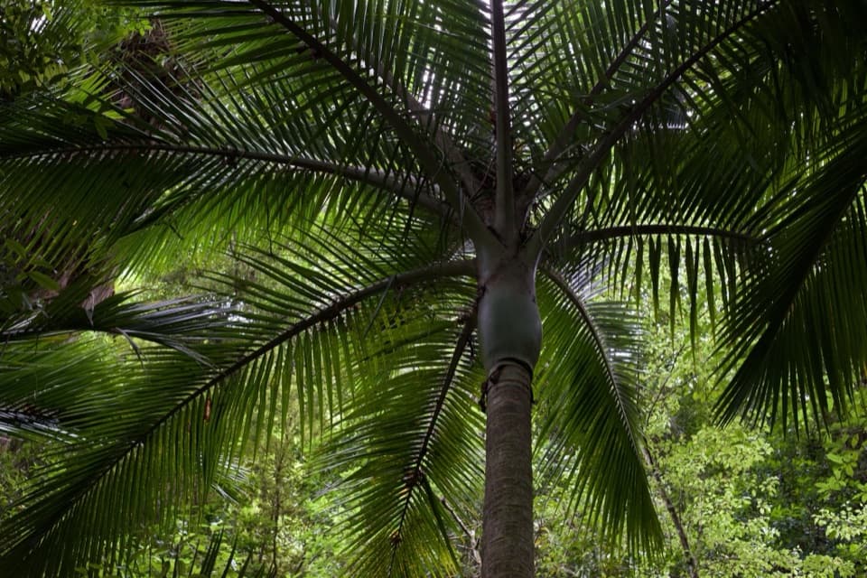 EasyPukatea Walk0.8 km · 30 min · 0.8 km awayA curving raupō boardwalk leads into pukatea and nīkau forest
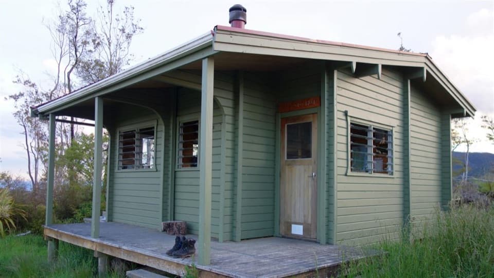 ChallengingPigeon Saddle to Awapoto Hut10 km · 6 hr · 3.2 km awayA steep forest climb to a hut above Awaroa Inlet.
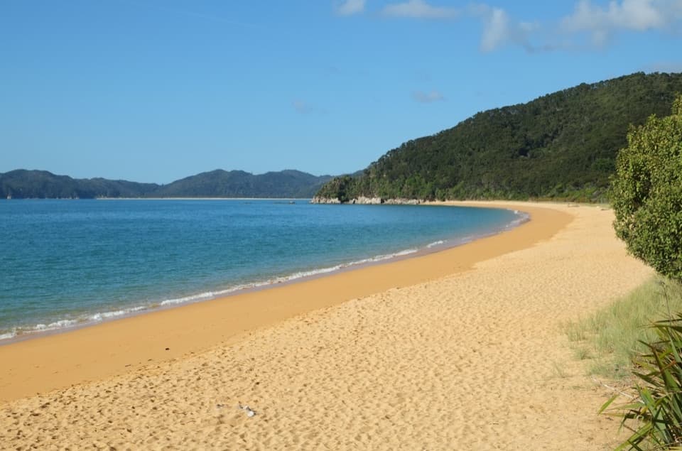 Campground · At the trailheadTōtaranui Beach and CampgroundA big campground by the beach, beyond a long gravel approach.
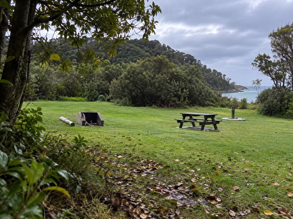 Campground · 0.2 km awayTōtaranui Great Walk CampsiteTwenty tent sites put you beside the beach on the Coast Track.
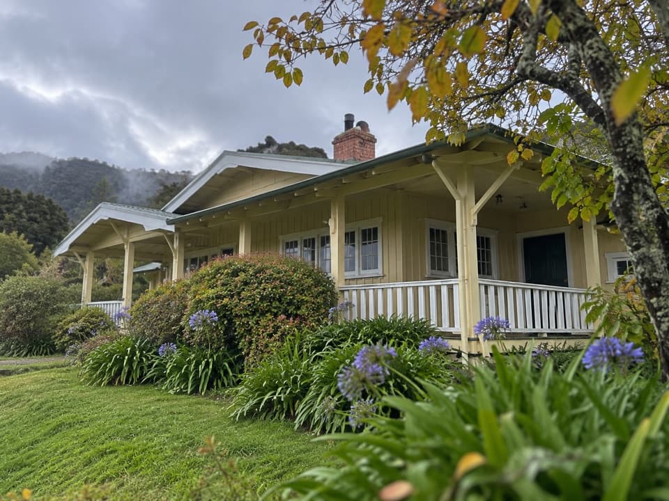 Lodging · 0.5 km awayNgarata HomesteadA 1914 homestead group stay for exploring Tōtaranui
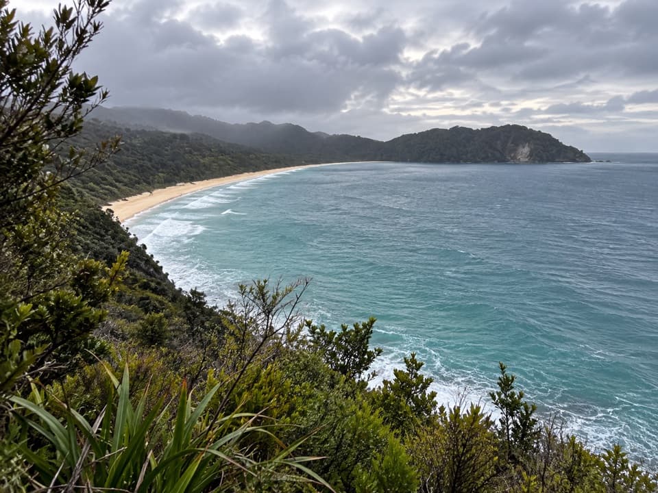 Sight · 1.1 km awaySkinner Point LookoutA high view takes in both Tōtaranui Beach and Goat Bay.
 Beach · 1.7 km awayGoat BayA beach stop on the tide-sensitive northern Coast Track.Beach · 2.2 km awayAnapai BayA northern beach with golden sand, stacked rocks and six tent sites.
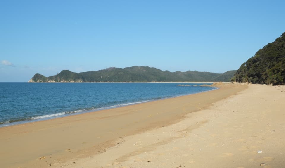 Campground · 3.2 km awayWaiharakeke BayA bush-fringed campsite a short walk from a sandy bay.
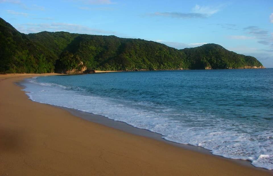 Campground · 3.6 km awayMutton CoveA quiet beachside campsite at Abel Tasman's remote northern end.
Parkwolf’s Abel Tasman ranking

The audio tour guide for the drive, plus offline maps, trails, and wildlife heatmaps for when the signal drops.




