Parking
Use the DOC car park at the end of McShane Road in Wainui. The last 2 km are unsealed; toilets are at the car park and vehicles are left at the owner’s risk.
#9 of 43 trails in Abel Tasman
Abel Tasman National Park, TA
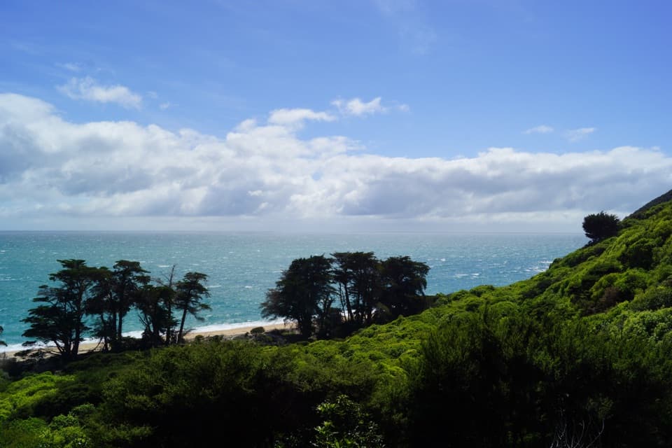
A saddle climb to a historic homestead beside a northern bay.
Overview
Map & elevation
Plan your hike

The highest, rockiest slopes around here are a summer buffet for grizzly bears.
Abel Tasman Tour Guide
Parkwolf is a GPS audio tour guide for Abel Tasman National Park. As you drive, it chimes in with what’s ahead: hidden gems, upcoming stops, history, geology, and wildlife, right through your car’s speakers.
Recorded for this trailhead
Wainui Bay Coast Track Entrance“Wainui Bay's Coast Track entrance is coming up. The walk to Whariwharangi Bay takes about four hours return, with a climb over a saddle each way, so save it for a proper half-day outing.”
Plays as you drive up to this trailhead in the Parkwolf Abel Tasman Tour Guide.
More stories near here in the app
“Fantastic app with many points of information… It’s great to just turn on while you’re driving and it gives you an audio tour of the national Park. We love it!!!!”


Trail guide
Wainui to Whariwharangi Bay is an out-and-back on the northern end of the Abel Tasman Coast Track, from the Wainui road end to Whariwharangi Hut just behind the bay. The mapped section is 5.7 km one way, so returning on the same track makes it 11.4 km (about 7.1 miles); allow about four hours of walking and extra time at the hut and shore. It suits someone who wants a proper half-day walk to a historic homestead and a northern beach. It is not a short beach stroll: the return includes the same climb back over the saddle, and you retrace the inlet-side section to the car. Stop at the hut for this outing; continuing to Separation Point or toward Tōtaranui makes a different, longer route.
Leaving the car park, the track follows the edge of Wainui Inlet before climbing inland. The climb reaches a low saddle; pause there for the view back over the inlet. On the far side, descend beside a trickling stream to Whariwharangi Bay. The hut sits in a grassy clearing behind the beach, so the finish shifts from bush and hillside to open shore and a former farmhouse. Turn around at the hut. This is a point-to-point section walked as an out-and-back by day visitors, not a loop, and there is no shortcut that removes the climb on your return.
Whariwharangi Hut began as a farmhouse around 1896. John Handcock built it and lived in the valley with his family for 15 years. It was last inhabited in 1926, remained part of the farm until 1972, and was restored in 1980. The timber-framed, one-and-a-half-storey building has a long veranda and two brick chimneys; original interior details include a built-in staircase and timber wall panelling. It stands just behind the beach in regenerating bush, with the grassy clearing making a natural place to stop before walking back. You can visit on a day walk without booking a bed. Overnight stays require advance booking year-round; the hut has 20 bunks, but no gas cooking or lighting, so overnight guests need a stove, fuel and a light.
Start at the Department of Conservation car park at the end of McShane Road in Wainui; the last 2 km of road are unsealed, and vehicles are left at the owner's risk. Toilets are available at the car park and hut. Carry drinking water for the day: water at the hut and campsite is untreated and must be boiled before use. Dogs are not allowed on the track. The walk is possible year-round, but winter brings shorter daylight, so leave enough time for the return. Wasps and sandflies occur on the track; take repellent, and anyone allergic to wasp stings should bring their medication. Cellphone reception is poor within the park.
Wildlife
 10 sightingsKeaMost seen around 10 AMSighting map
 54 sightingsNew Zealand Fur SealMost seen around 10 AMSighting map
 20 sightingsLittle PenguinMost seen around 9 PMSighting map
 21 sightingsSouth Island KākāMost seen around 5 PMSighting map
 526 sightingsWekaMost seen around 9 AMSighting map
 16 sightingsTūīMost seen around 7 AMSighting map
Sighting maps show where each species has been reported across Abel Tasman. Wildlife moves, so no sighting is guaranteed.
Keep exploring
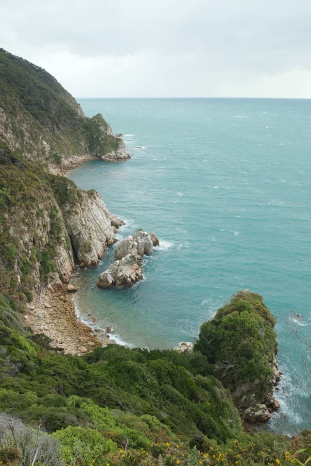 ModerateWainui to Separation Point17.8 km · 5 hr · At the trailheadReach the rocky divide between Golden Bay and Tasman Bay.
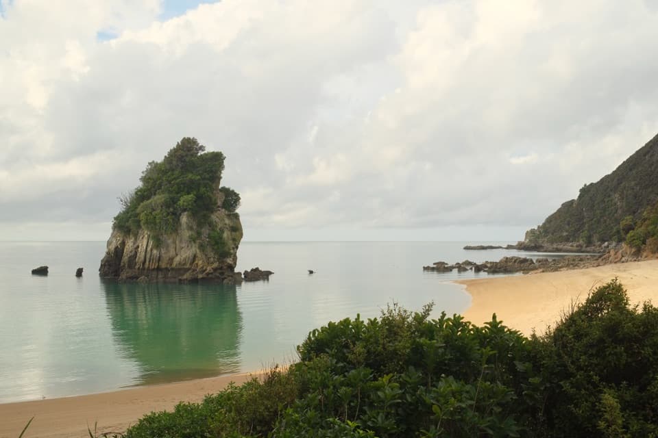 ModerateTaupō Point Track5 km · 2.5 hr · At the trailheadA tide-sensitive coast walk with Māori heritage and limestone stacks.
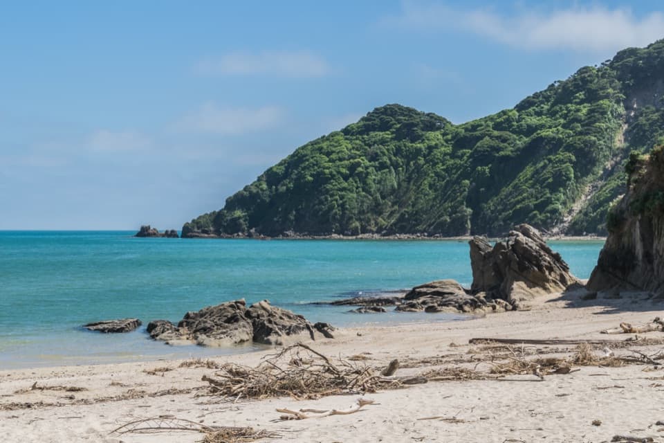 EasyWainui Bay Beach Walk2.3 km · 45 min · At the trailheadA short track opens onto an inlet-mouth beach.
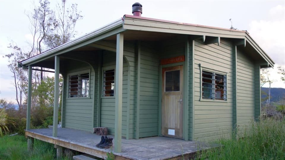 ChallengingPigeon Saddle to Awapoto Hut10 km · 6 hr · 2.7 km awayA steep forest climb to a hut above Awaroa Inlet.
 ModerateWainui Falls Track3.4 km · 1.3 hr · 3.5 km awayGranite boulders, a swing bridge and a waterfall for a short walk.
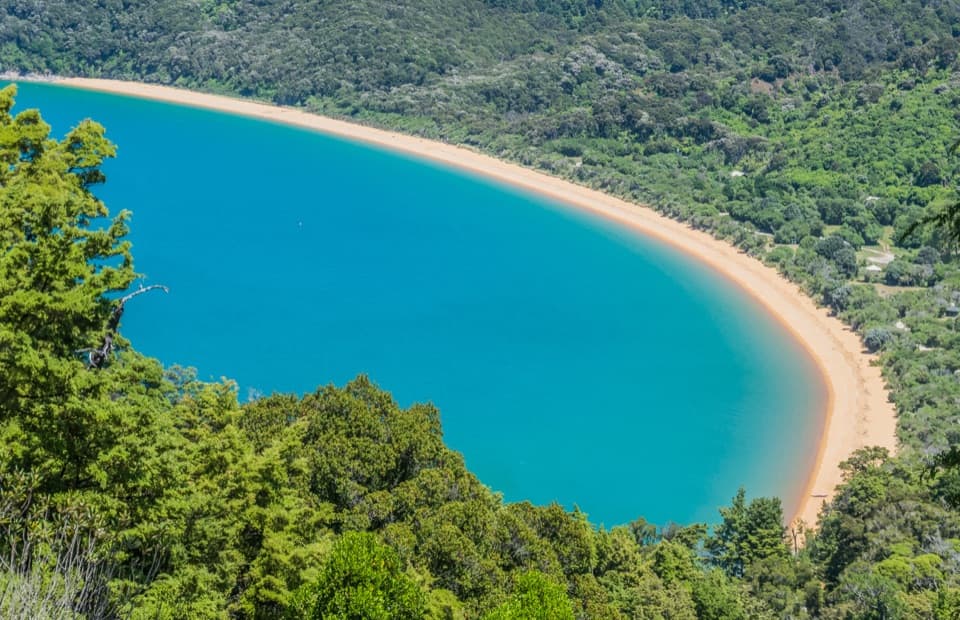 ModerateHeadlands Track3.8 km · 1.3 hr · 4.1 km awayA wooded headland walk with a pocket view of Tōtaranui and Awaroa.
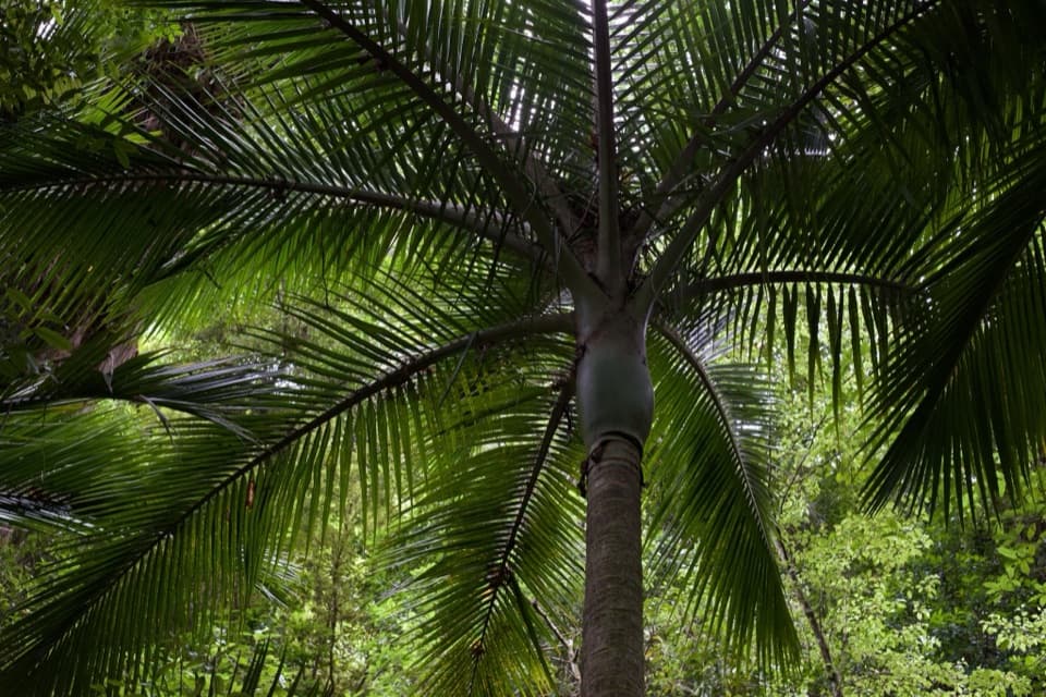 EasyPukatea Walk0.8 km · 30 min · 4.1 km awayA curving raupō boardwalk leads into pukatea and nīkau forest
 ModerateTōtaranui to Anapai Bay6.4 km · 2.5 hr · 4.2 km awayA low saddle leads to Anapai’s divided beach and granite stacks.Sight · 2.3 km awayTaupō PointA tide-dependent walk to a Māori pā on Wainui Inlet.
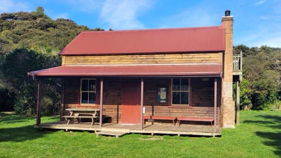 Lodging · 2.8 km awayWhariwharangi HutSleep in a restored farmhouse at the Coast Track's northern end.Campground · 2.8 km awayWhariwharangi BayA remote beach camp beside a restored coastal farmhouse.
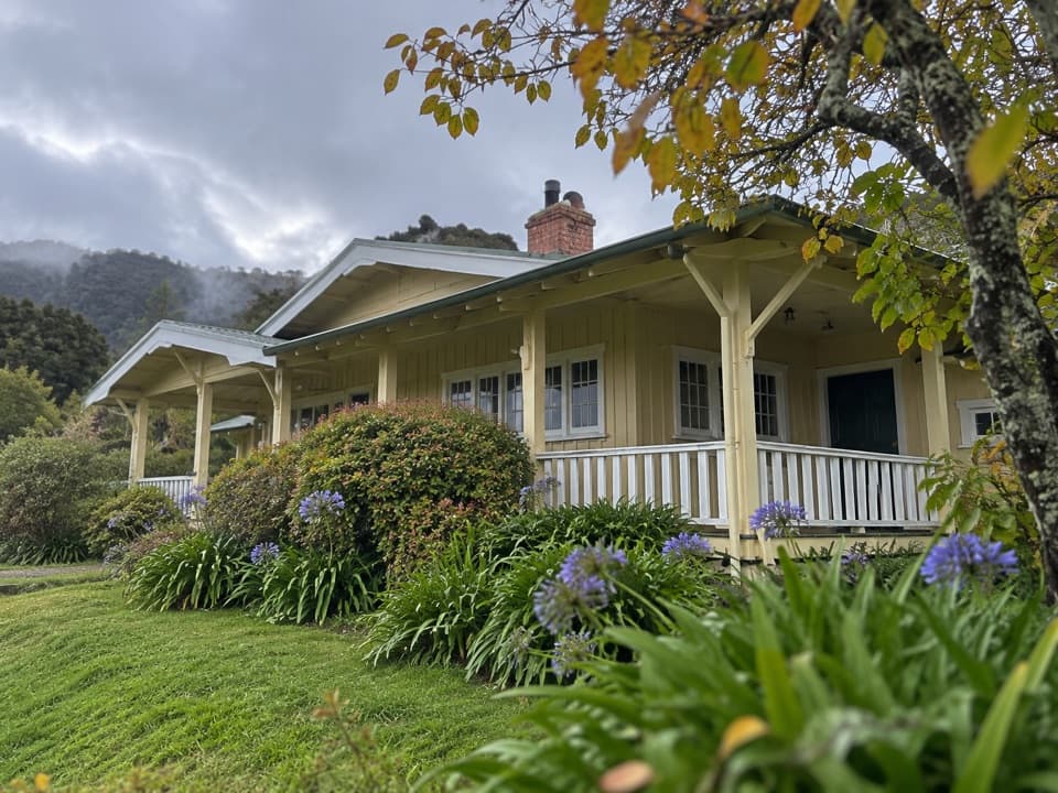 Lodging · 3.8 km awayNgarata HomesteadA 1914 homestead group stay for exploring Tōtaranui
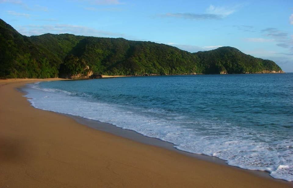 Campground · 3.8 km awayMutton CoveA quiet beachside campsite at Abel Tasman's remote northern end.Beach · 4.1 km awayAnapai BayA northern beach with golden sand, stacked rocks and six tent sites.
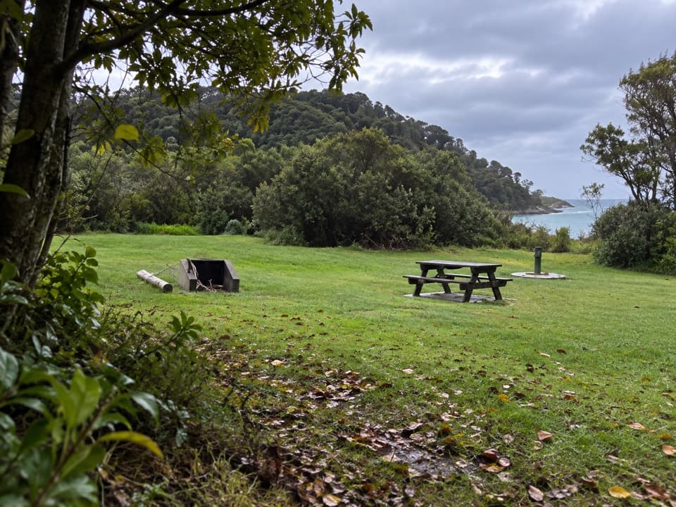 Campground · 4.2 km awayTōtaranui Great Walk CampsiteTwenty tent sites put you beside the beach on the Coast Track.
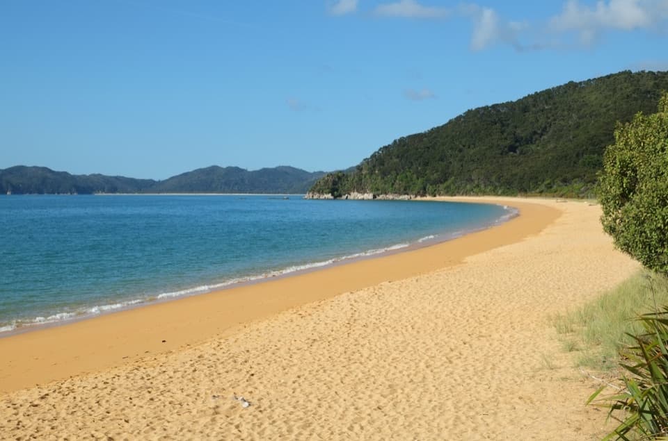 Campground · 4.3 km awayTōtaranui Beach and CampgroundA big campground by the beach, beyond a long gravel approach.
Parkwolf’s Abel Tasman ranking

The audio tour guide for the drive, plus offline maps, trails, and wildlife heatmaps for when the signal drops.



