1 active Abel Tasman alert
- ClosureRoad resealing closures near Kaiteriteri, 29–30 OctoberExpect rolling closures on roads near Kaiteriteri from 6am to 8pm on Thursday 29 and Friday 30 October while crews reseal the roads.Official details
Campground · Abel Tasman National Park
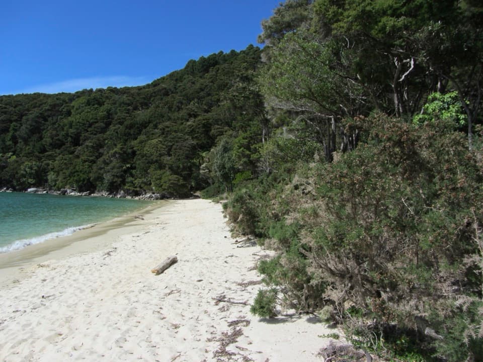
A bush-fringed campsite a short walk from a sandy bay.
Overview
Map
Plan your stop

The highest, rockiest slopes around here are a summer buffet for grizzly bears.
Abel Tasman Tour Guide
Parkwolf is a GPS audio tour guide for Abel Tasman National Park. As you drive, it chimes in with what’s ahead: hidden gems, upcoming stops, history, geology, and wildlife, right through your car’s speakers.
Recorded for this area
The Tide Sets the Walking Day“If your walk includes Awaroa Inlet, choose the crossing time before you choose the start time. There's no all-tide track around it.”
Plays on the road 2.6 km from Waiharakeke Bay in the Parkwolf Abel Tasman Tour Guide.
More stories near here in the app
“Fantastic app with many points of information… It’s great to just turn on while you’re driving and it gives you an audio tour of the national Park. We love it!!!!”


Guide
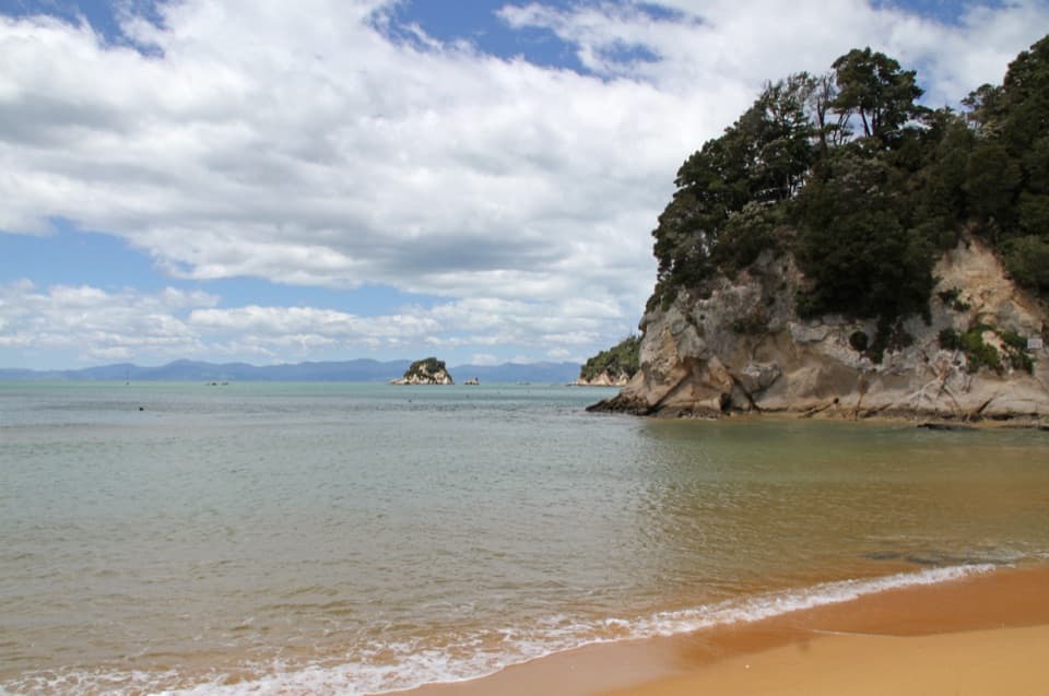
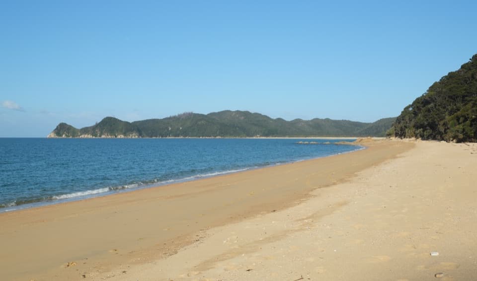
Waiharakeke Bay is a small sandy bay with a 10-site Department of Conservation tent campsite on Abel Tasman’s northern Coast Track, between Awaroa and Tōtaranui. It’s a planned overnight for a walking or private-boat trip, not a drive-up beach: there’s no road access, and scheduled water taxis don’t run to bays north of Tōtaranui. Book the campsite ahead, any time of year.
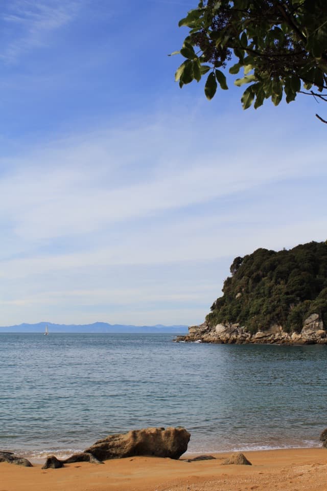
The campsite sits in native coastal bush just off the track, with the beach a short walk away. There’s a flush toilet, untreated water and picnic tables; boil the water before drinking. A recent camp report also mentions a separate sink by the tap. Dogs aren’t allowed, and fires are allowed only in designated fireplaces when there’s no fire ban. On the sand, look south toward Awaroa along the beach and wooded headlands.
If you’re walking north from Awaroa, the Coast Track crosses Awaroa Inlet on a daylight tide window: from 1½ hours before to 2 hours after low tide. Storm surge and heavy rain can affect the crossing, so check the Department of Conservation’s tide guidance as you plan the route. From Tōtaranui, Waiharakeke is reached on foot along the Coast Track; beyond Tōtaranui, you’ll need to walk or arrange a private boat.
Waiharakeke is also the name of a coastal swamp and stream in this valley. Māori lived here before it became a milling community, drawn by plentiful kahikatea timber. Harakeke flax was useful in its own right: the long leaves of the wharanui variety made strong fishing nets with fewer joins. One interpretation is that flax carried here from another Waiharakeke in the Wairau for seasonal fishing may have brought the name with it; that connection is possible, not settled.
Wildlife
 10 sightingsKeaMost seen around 10 AMSighting map
 54 sightingsNew Zealand Fur SealMost seen around 10 AMSighting map
 20 sightingsLittle PenguinMost seen around 9 PMSighting map
 21 sightingsSouth Island KākāMost seen around 5 PMSighting map
 527 sightingsWekaMost seen around 9 AMSighting map
 16 sightingsTūīMost seen around 7 AMSighting map
Sighting maps show where each species has been reported across Abel Tasman. Wildlife moves, so no sighting is guaranteed.
Keep exploring
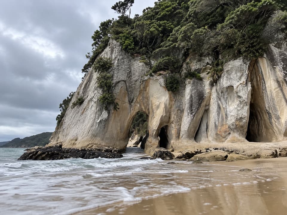 ModerateTonga Arches Walk12.6 km · 5.5 hr · 2.7 km awayA remote Coast Track outing toward low-tide granite arches
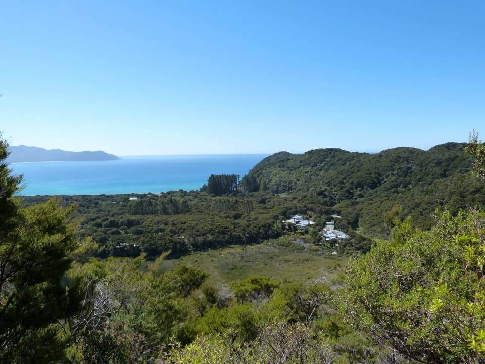 ModerateSky Track1.9 km · 1 hr · 2.7 km awayA short hill climb to a broad Awaroa Bay view.
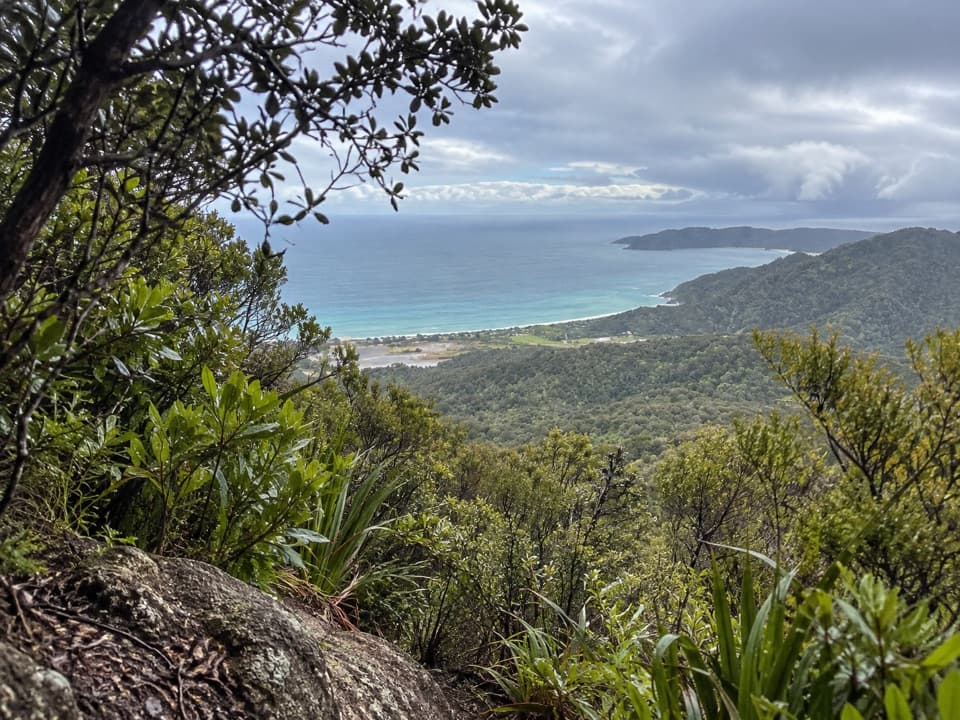 ChallengingGibbs Hill Track from Tōtaranui9 km · 3.8 hr · 3.1 km awaySteep climb from Tōtaranui to a clear-day bay panorama.
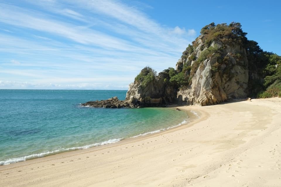 ModerateTōtaranui to Separation Point14.4 km · 4.5 hr · 3.2 km awayGolden beaches, nikau gullies, and a headland between two bays.
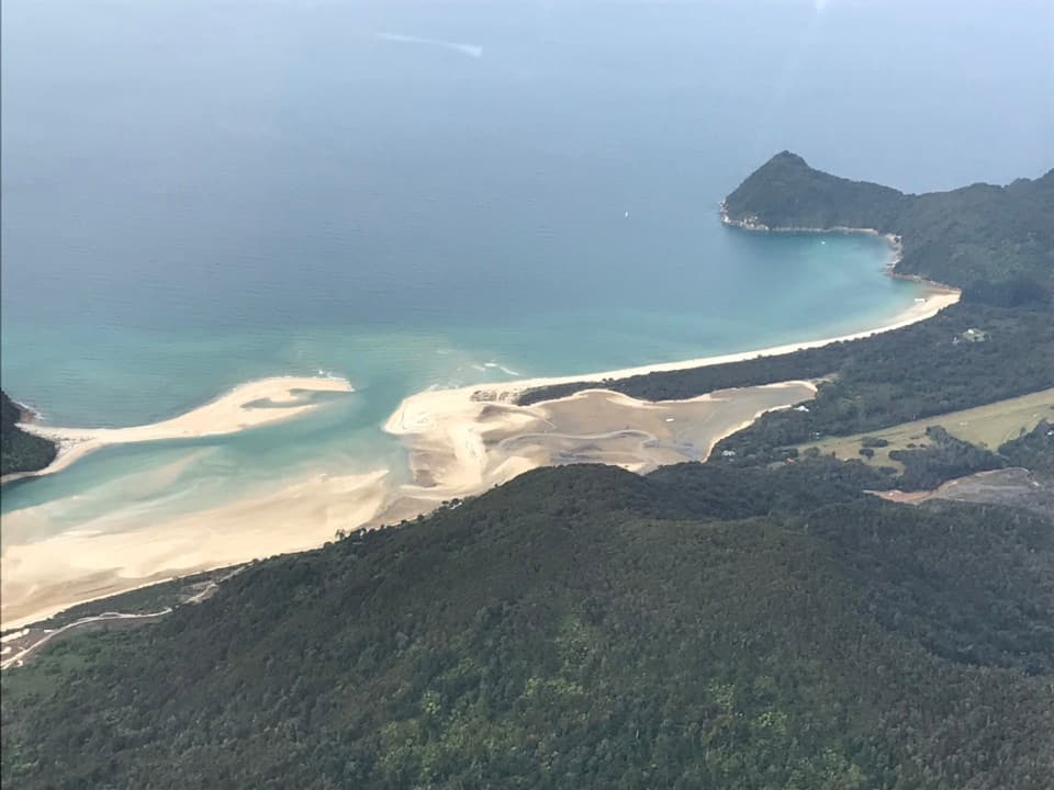 ModerateTōtaranui to Awaroa Bay9 km · 3 hr · 3.2 km awayA low-tide crossing turns this coast walk into a proper outing.
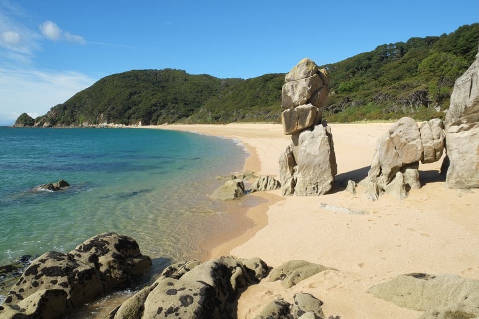 ModerateTōtaranui to Anapai Bay6.4 km · 2.5 hr · 3.2 km awayA low saddle leads to Anapai’s divided beach and granite stacks.
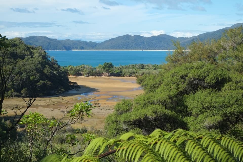 ChallengingGibbs Hill to Whariwharangi Bay Loop Track18.3 km · 5.5 hr · 3.2 km awayA steep ridge and a restored homestead reward the coastal loop.ModerateTōtaranui to Whariwharangi Bay9.8 km · 3.3 hr · 3.2 km awayBeach coves and kānuka headlands lead to a restored homestead.
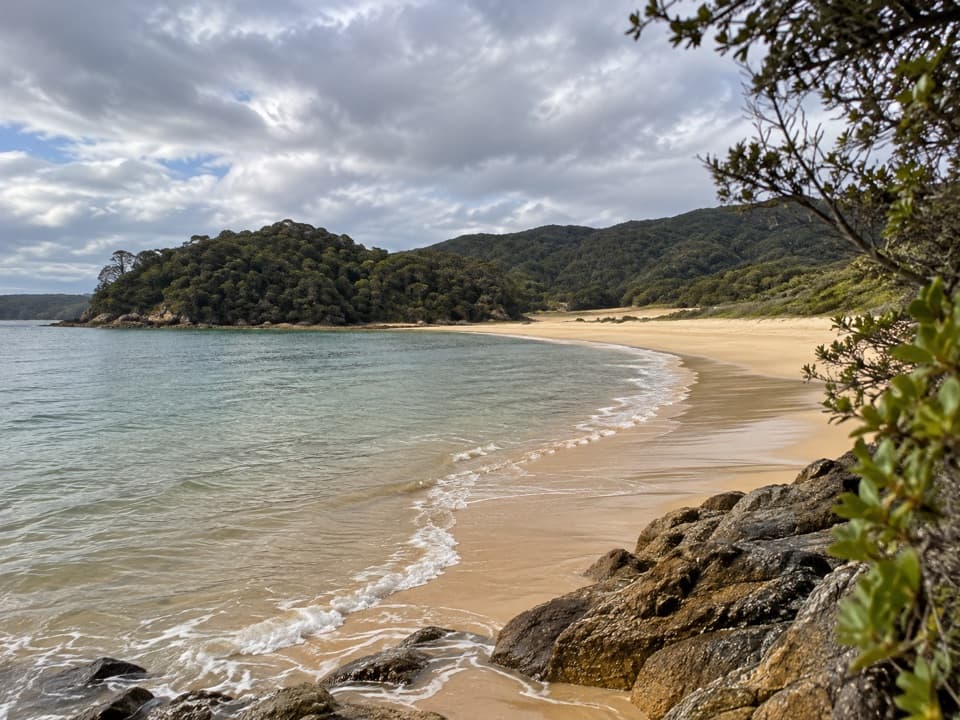 Beach · 1.5 km awayGoat BayA beach stop on the tide-sensitive northern Coast Track.
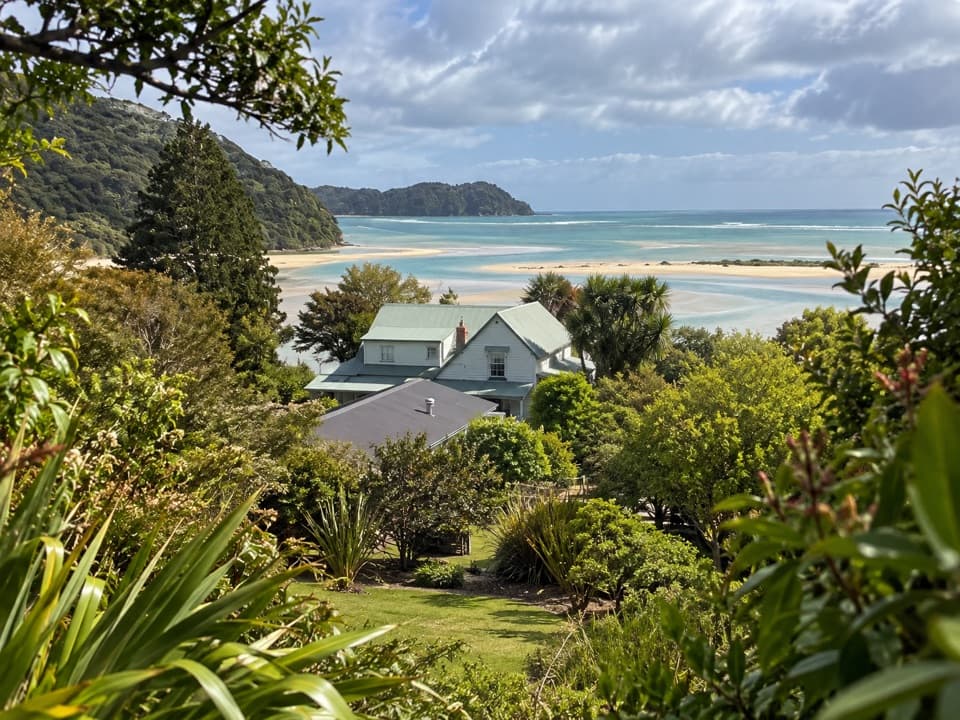 Lodging · 1.7 km awayMeadowbank Homestead at AwaroaA replica homestead lodge for multi-day Abel Tasman trips.
 Campground · 1.7 km awayAwaroa CampsiteAn 18-site estuary camp that catches good winter sun.
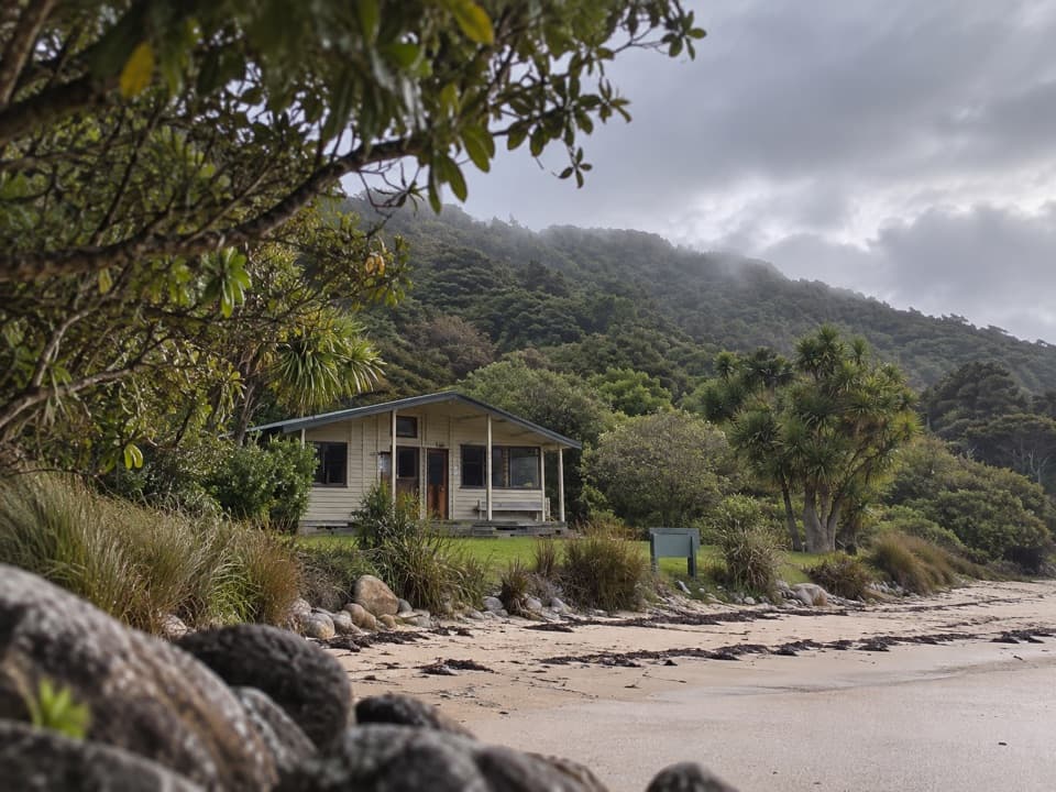 Lodging · 1.8 km awayAwaroa HutAn estuary-side Great Walk hut with a cold outdoor shower.
 Beach · 2 km awayAwaroa BeachGolden sandbanks, a tide-shaped inlet, and a beach saved for everyone.
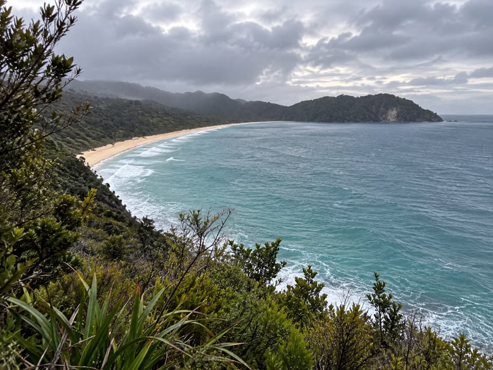 Sight · 2.1 km awaySkinner Point LookoutA high view takes in both Tōtaranui Beach and Goat Bay.
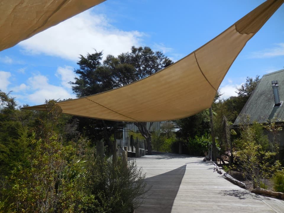 Lodging · 2.7 km awayAwaroa LodgeA proper meal at a remote lodge reached by boat or trail.
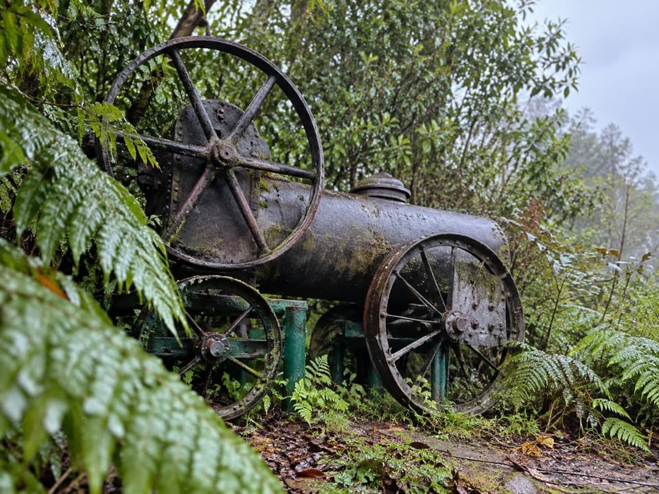 Sight · 2.8 km awayAwaroa Steam EngineAn old bark-milling engine, tucked into ferns beside Awaroa.
Parkwolf’s Abel Tasman ranking

The audio tour guide for the drive, plus offline maps, trails, and wildlife heatmaps for when the signal drops.