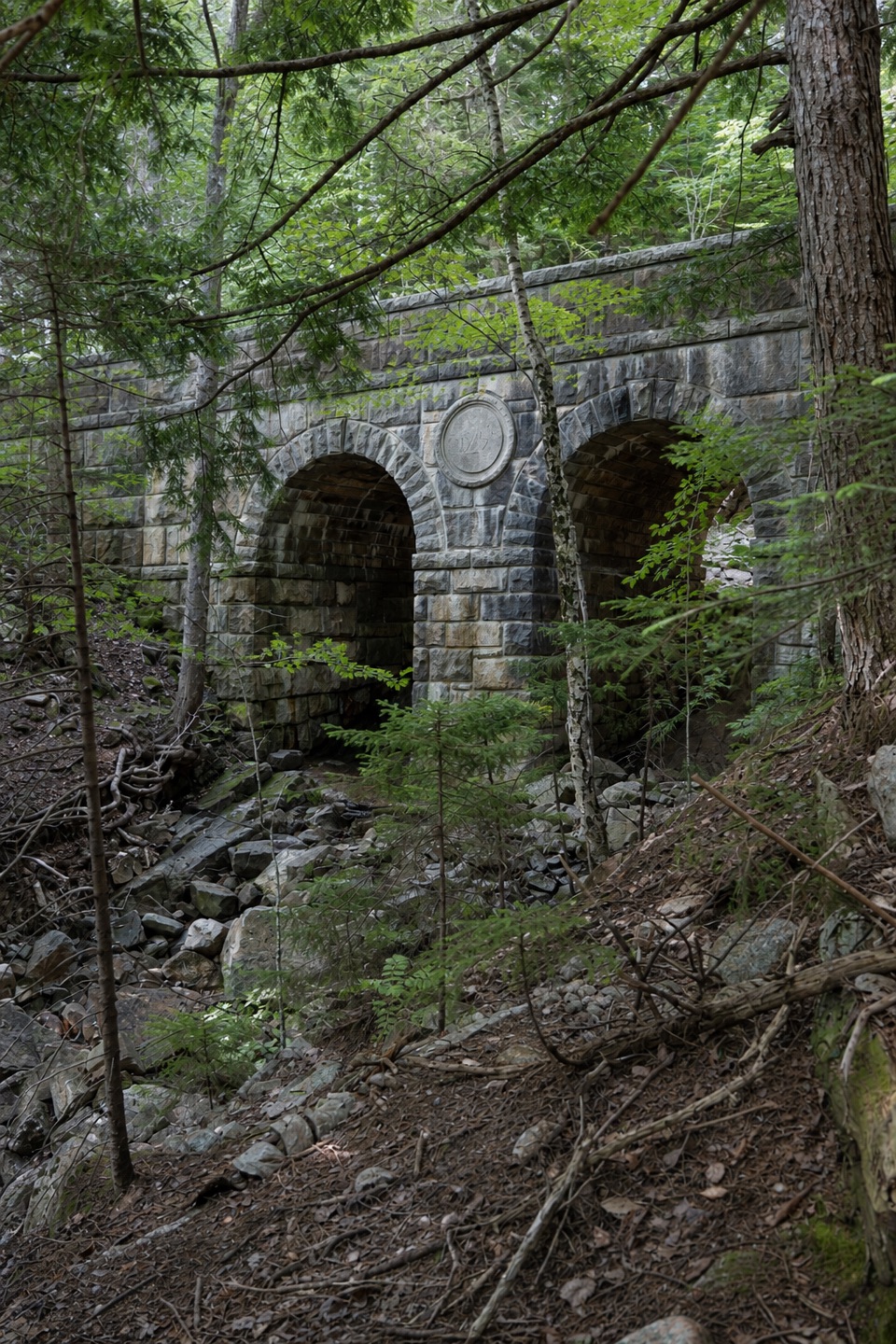
Deer Brook Bridge in Acadia National Park

Sight · Acadia National Park

Deer Brook Bridge

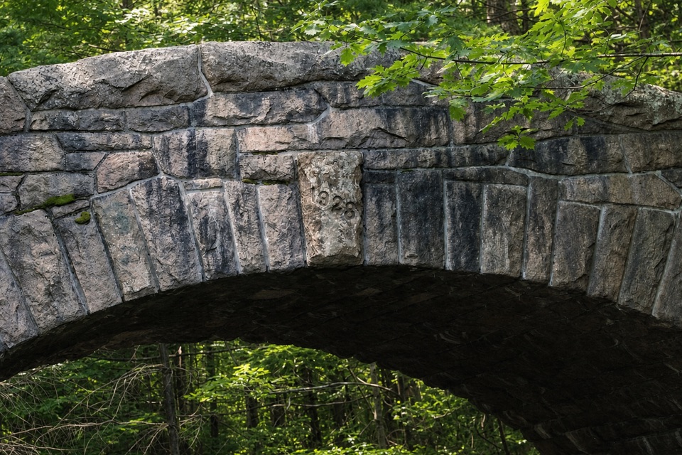
Take a carriage-road detour for twin arches and a 1925 medallion.

Type
Sight
Nearest trail
0.1 mi
Audio stories
6 nearby
  • Scenic viewpoint

Hear the audio tour

Bubbles Divide and Bubble Rock

Overview

About Deer Brook Bridge

Why stop

  • A rare paired-arch bridge with a clear Rockefeller-era story

Heads up

  • Reaching it takes a walk or ride; motor vehicles cannot use the carriage roads
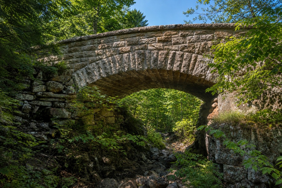
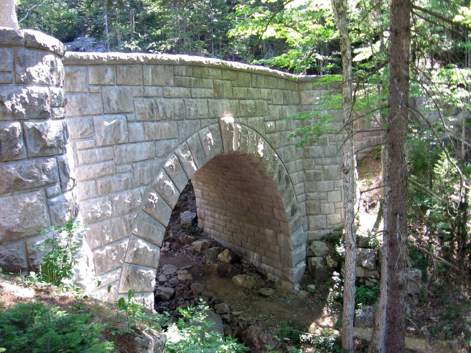
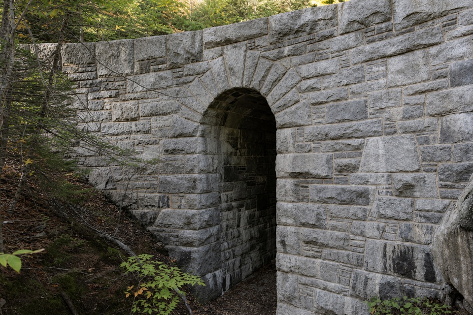
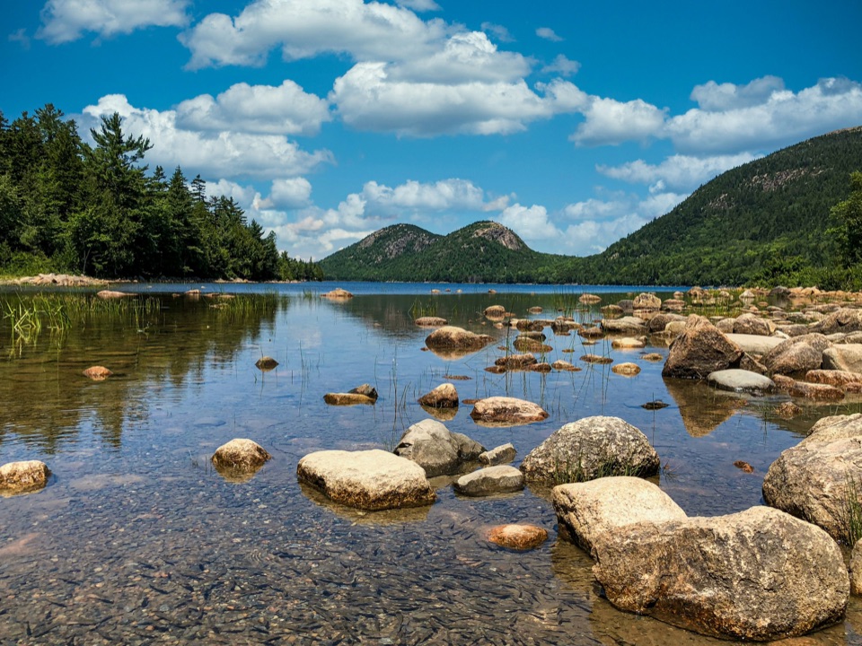
Deer Brook Bridge is a 78-foot-long historic carriage-road bridge near the north end of Jordan Pond, where Jordan-Sargent Mountain Road crosses Deer Brook. Its paired granite-faced arches and circular date medallion make it a distinctive stop in the woods. Reach it on foot, by bicycle, or by horse-drawn carriage; Acadia’s carriage roads are closed to motor vehicles, so this is not a drive-up stop.
Parkwolf’s verdictA bridge worth a walk

Map

Where it is

Loading the Acadia map
Full map
SightDeer Brook Bridge44.34042, -68.26261
Keep this map with you offline in the Parkwolf app

Plan your stop

Before you go

4 active Acadia alerts

  • CautionAvoid water contact at Sand Beach LagoonDo not swim at Sand Beach Lagoon. - Bacterial levels have exceeded public-health standards, so the NPS has posted a Public Health Advisory.Official details
  • ClosureSchoodic Mountain Road closed for repairsSchoodic Mountain Road is closed from Schoodic Loop Road to the summit of Schoodic Head. - The closure began August 31 for resurfacing, regrading, and ditching.Official details

See all 4 alerts
A park ranger sits on a dash-mounted phone, talking, as Parkwolf’s Tour Guide plays “Army Cutworm Moths: A Grizzly Bear Buffet” on Grand Loop Road below Dunraven Pass in Yellowstone
Parkwolf Tour GuideThe highest, rockiest slopes around here are a summer buffet for grizzly bears.

Acadia Tour Guide

Your drive to Deer Brook Bridge, narrated.

Parkwolf is a GPS audio tour guide for Acadia National Park. As you drive, it chimes in with what’s ahead: hidden gems, upcoming stops, history, geology, and wildlife, right through your car’s speakers.

Recorded for this area

Bubbles Divide and Bubble Rock
0:00 / 0:23
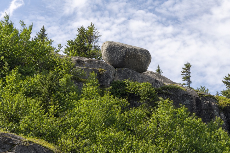
“You're nearing Bubbles Divide, the trailhead for Bubble Rock's perched boulder. For the shorter visit, walk to South Bubble and Bubble Rock and return the same way, about a mile with stairs and steep, uneven granite.”

Plays on the road 0.6 mi from Deer Brook Bridge in the Parkwolf Acadia Tour Guide.

More stories near here in the app

  • Bubble Pond and Its Rustic Bridge
  • Jordan Pond and Popovers
  • Parkman Access to the Carriage Roads
  • Norumbega Access to Bald Peak
  • 116 audio storiesacross Acadia’s roads, triggered by GPS as you drive
  • Wildlife heatmapsfor Bald Eagle, Peregrine Falcon, White-tailed Deer, and 13 more
  • Works offlinemaps, 142 trails, 72 places, and audio download before you lose signal
  • CarPlay readysimple controls built for the drive
★★★★★
“…As we drove through Acadia it gave us a tour, which was really cool. Lots of great info about the parks and how to avoid the crowds. It’s a great travel companion!”
MyMysteryChicaApp Store review
Download Parkwolf on the App StoreGet Parkwolf on Google Play

4.7 from 8,600+ ratings

Guide

More about Deer Brook Bridge

Choose your approachFrom Jordan Pond House, the carriage-road route is about two miles each way.

From Jordan Pond House, the carriage-road route is about two miles each way. From Bubbles parking, the route via Bubbles Divide and Deer Brook Trail is about one mile each way, with more ups and downs. Take the carriage road for a steadier approach, or the shorter Bubbles route if you are comfortable with a hillier walk. Carriage roads can close during spring thaw until the gravel dries and firms up. Jordan Pond House is a separate dining stop at the pond’s south end.

See the shape in the stoneThe bridge has a reinforced-concrete core faced with granite blocks cut at the quarry and set…

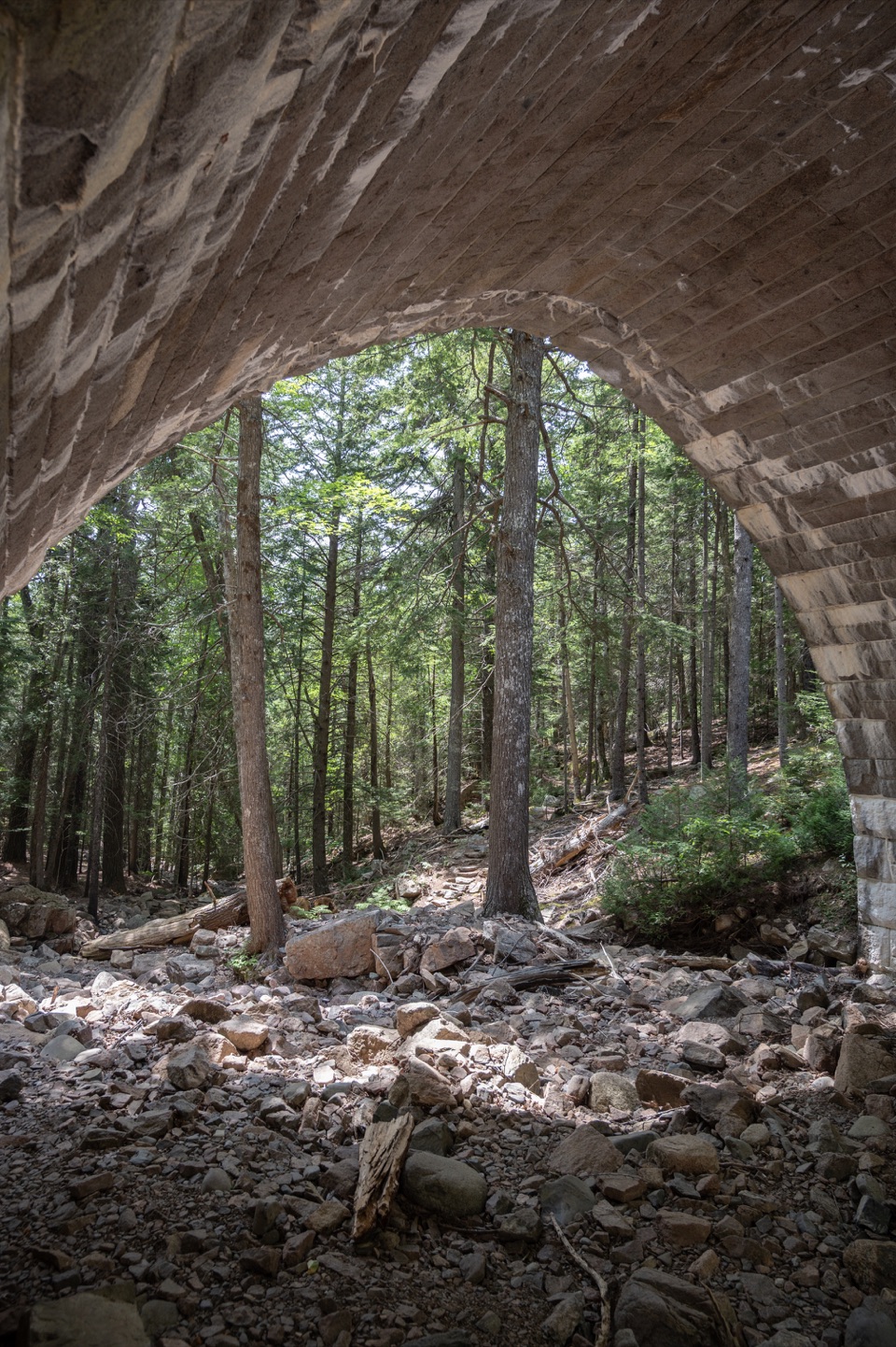
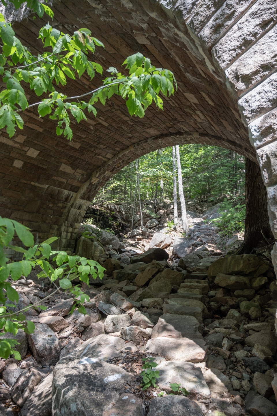
The bridge has a reinforced-concrete core faced with granite blocks cut at the quarry and set in irregular courses. Its two semicircular arches are each 9 feet 8 inches wide, divided by a six-foot pier. The full bridge is 78 feet long and rises 22 feet 5 inches at its highest point. Look for the four-foot circular granite medallion above the pier. For a photo, frame both arches and the medallion together, with the rocky brook bed in front to show the bridge’s setting.

Part of Rockefeller’s carriage-road projectCompleted in 1925, it was the sixth of 17 bridges on Mount Desert Island’s 57-mile…

Completed in 1925, it was the sixth of 17 bridges on Mount Desert Island’s 57-mile carriage-road network, built between 1917 and 1940. Because this bridge stood on park land, John D. Rockefeller Jr. sought National Park Service approval for the first time for one of his bridges. The work cost $24,918. Rockefeller designed the roads for horse-drawn travel, following the island’s contours, preserving trees, and taking advantage of scenic views.

Wildlife

Wildlife in Acadia

All Acadia wildlife maps

Sighting maps show where each species has been reported across Acadia. Wildlife moves, so no sighting is guaranteed.

Keep exploring

Near Deer Brook Bridge

See it all on the map

Trails nearby

More stops nearby

Parkwolf’s Acadia ranking

Top sights in Acadia

All 72 places
  1. 1Cadillac MountainSight
  2. 2Jordan PondSight
  3. 3Sand BeachBeach
  4. 4Thunder HoleSight
  5. 5Bass Harbor Head Light StationSight
  6. 6Schoodic PointSight

Take Parkwolf to Acadia.

The audio tour guide for the drive, plus offline maps, trails, and wildlife heatmaps for when the signal drops.

4.7 from 8,600+ ratings

Download Parkwolf on the App StoreGet Parkwolf on Google Play