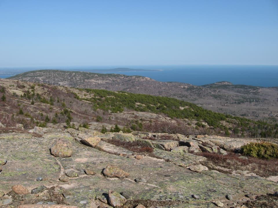
Parking
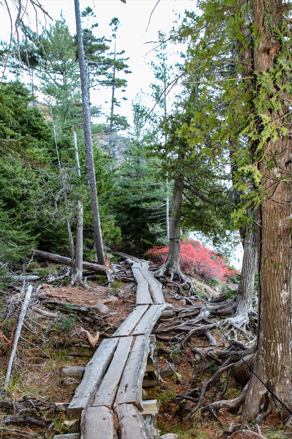
Use the Jordan Pond North Lot just before Jordan Pond House. Walk down the boat access to Jordan Pond Path, then follow it to the north end and the Deer Brook junction beyond the two log bridges.

Acadia National Park, ME
A steep brookside climb from Jordan Pond to Penobscot
Overview
Map & elevation
Plan your hike

The highest, rockiest slopes around here are a summer buffet for grizzly bears.
Acadia Tour Guide
Parkwolf is a GPS audio tour guide for Acadia National Park. As you drive, it chimes in with what’s ahead: hidden gems, upcoming stops, history, geology, and wildlife, right through your car’s speakers.
See the Acadia audio tourRecorded for this area
Bubbles Divide and Bubble Rock“You're nearing Bubbles Divide, the trailhead for Bubble Rock's perched boulder. For the shorter visit, walk to South Bubble and Bubble Rock and return the same way, about a mile with stairs and steep, uneven granite.”
Plays on the road 0.5 mi from the trailhead in the Parkwolf Acadia Tour Guide.
More stories near here in the app
“…As we drove through Acadia it gave us a tour, which was really cool. Lots of great info about the parks and how to avoid the crowds. It’s a great travel companion!”


Trail guide
Deer Brook Trail is a 0.8-mile, one-way climb from Jordan Pond Path's north end to Penobscot Mountain Trail. It follows Deer Brook up a wooded ravine, crosses the Eagle Lake/Jordan Pond carriage road, and climbs into the mountain-trail network. The route gains about 780 feet; allow roughly an hour for the ascent.
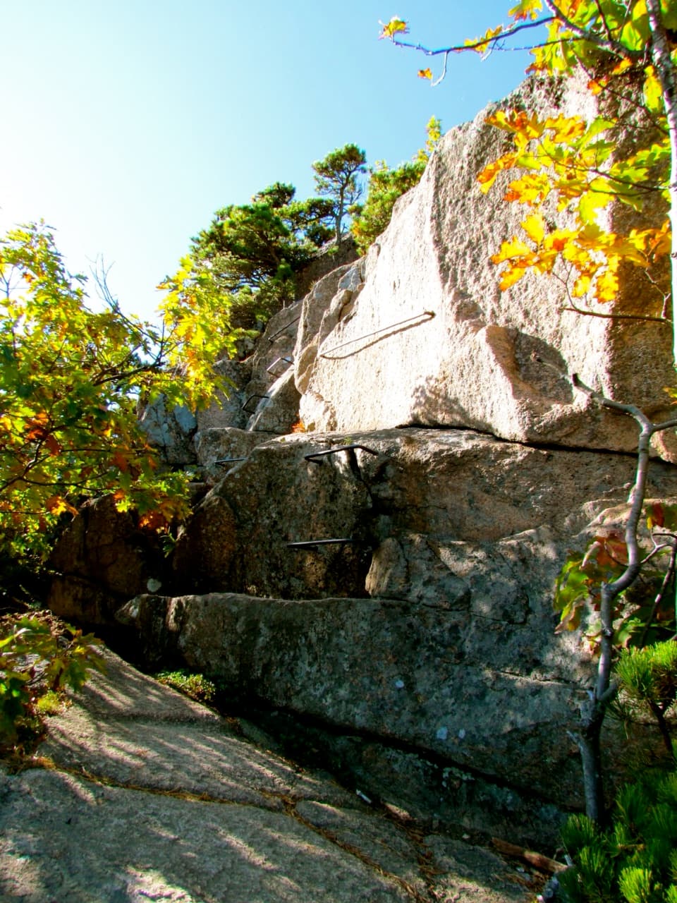
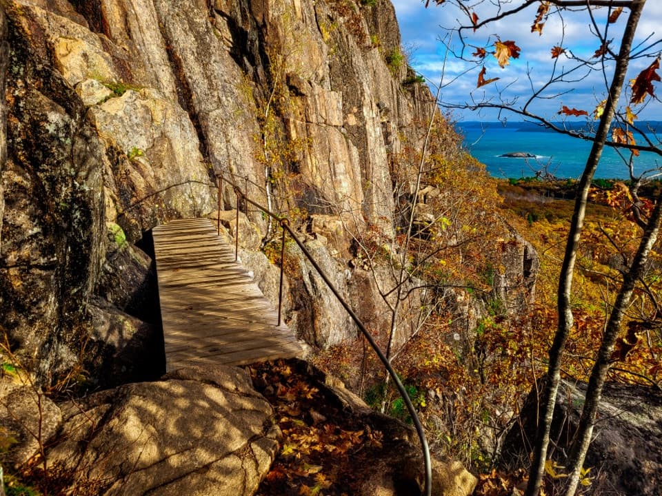
Expect switchbacks, large stone steps, rough rock, a few stream crossings, and a small bridge near the lower end. The short mileage hides a steep climb, so take your time on the uneven sections. At the upper junction, Penobscot Mountain Trail continues toward the summit; nearby connections lead toward Sargent.
Use the Jordan Pond North Lot, just before Jordan Pond House. Walk down the boat access to Jordan Pond Path, follow it to the north end past the two log bridges, then take the Deer Brook junction. The route ends on Penobscot Mountain Trail, so plan a return hike or continue on another route; the listed 0.8 miles is one way. Dogs are allowed on Deer Brook on a leash no longer than six feet, but the adjoining Jordan Cliffs Trail segment between Penobscot East Trail and the carriage road is off-limits to pets.
Jordan Pond sits in a steep valley carved by retreating glaciers, between Penobscot and Pemetic with the rounded Bubbles at the north end. Deer Brook runs through that valley before the trail joins the mountain network.
Wildlife
 131 sightingsBald EagleMost seen around noonSighting map
 21 sightingsPeregrine FalconMost seen around 10 AMSighting map
 403 sightingsWhite-tailed DeerMost seen around 7 PMSighting map
 307 sightingsPorcupineMost seen around 7 PMSighting map
 205 sightingsBeaverMost seen around 7 PMSighting map
 34 sightingsMinkMost seen around 7 PMSighting map
Sighting maps show where each species has been reported across Acadia. Wildlife moves, so no sighting is guaranteed.
Keep exploring
 EasyJordan Pond Carry1.1 mi · 42 min · 0.4 mi awayA shady woods link between Jordan Pond and Eagle Lake.
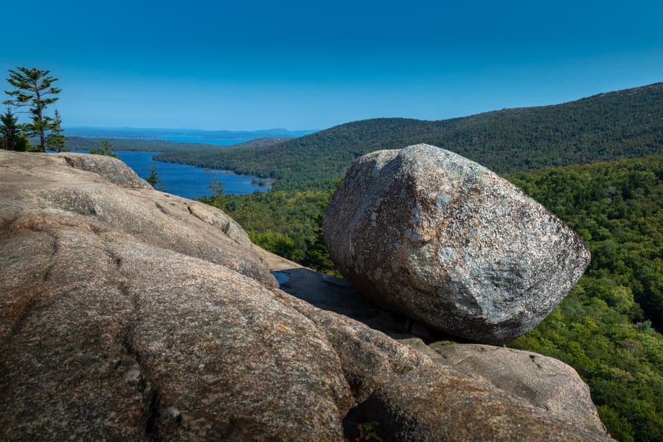 ModerateBubbles Trail1.5 mi · 1.3 hr · 0.5 mi awayTwo summits and a perched glacial boulder in 90 minutes.
 ModerateBubbles Nubble Loop3.5 mi · 2.5 hr · 0.5 mi awayThree summits, two lakes, and one boulder left by the ice.
 ChallengingPemetic Northwest Trail1.2 mi · 1.8 hr · 0.5 mi awayA short, steep granite scramble to Pemetic's open summit.
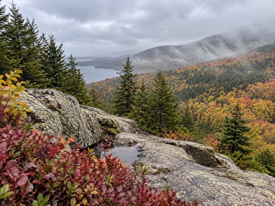 ModerateSargent East Cliffs Trail0.7 mi · 30 min · 0.7 mi awayThe fast, steep descent from Sargent’s summit toward Deer Brook.
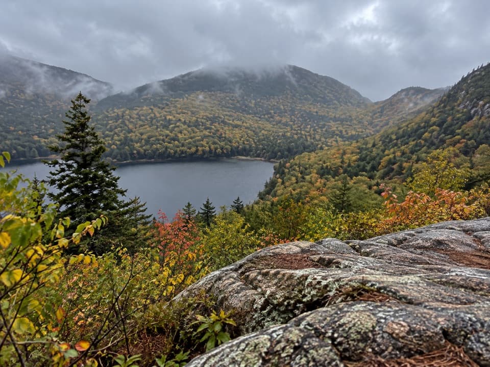 ModerateConners Nubble Trail0.3 mi · 30 min · 1 mi awayA short granite climb to an open Eagle Lake view.
 ChallengingPemetic North Ridge Trail2.6 mi · 2.5 hr · 1.1 mi awayA steep forest climb ends at a three-pond, ocean-facing summit.
 ChallengingCadillac West Face Trail0.9 mi · 1.8 hr · 1.2 mi awayScramble up granite ledges for views over Bubble Pond.
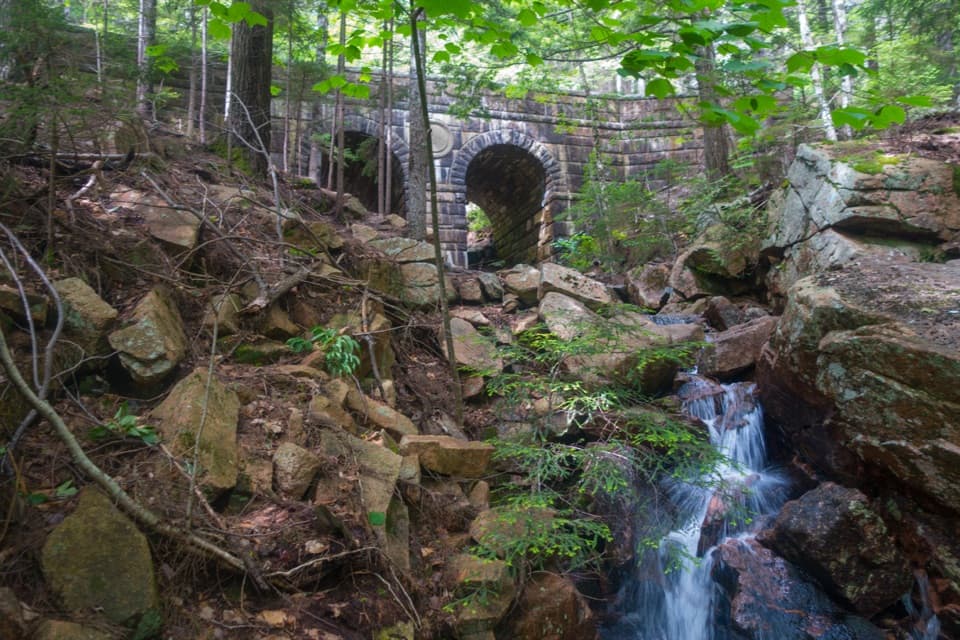 Sight · 0.1 mi awayDeer Brook BridgeTake a carriage-road detour for twin arches and a 1925 medallion.
 Sight · 0.3 mi awayBubble RockA hundred-ton erratic balanced on South Bubble’s summit ledge
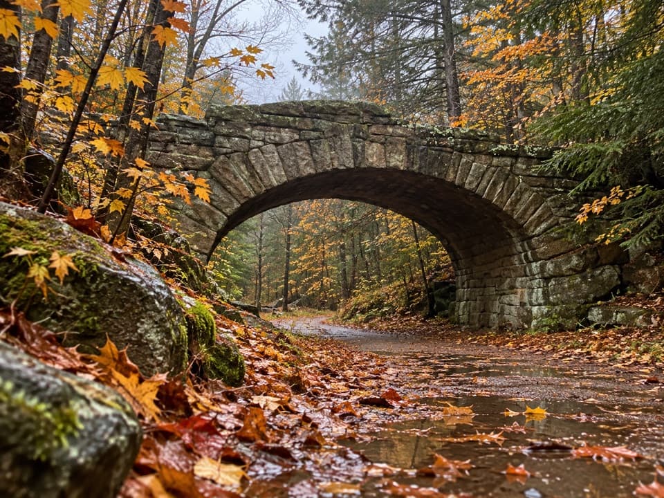 Sight · 1.1 mi awayBubble Pond BridgeA stone arch that survived two rejected designs.
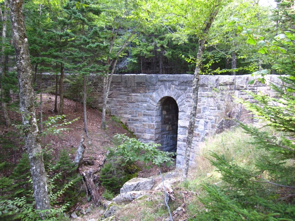 Sight · 1.2 mi awayWest Branch Jordan Stream BridgeA granite carriage-road bridge with a six-foot Roman arch.
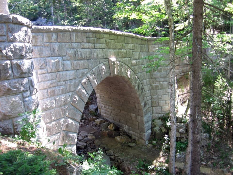 Sight · 1.2 mi awayWaterfall BridgeA 1925 arch frames Hadlock Brook's waterfall along car-free roads.
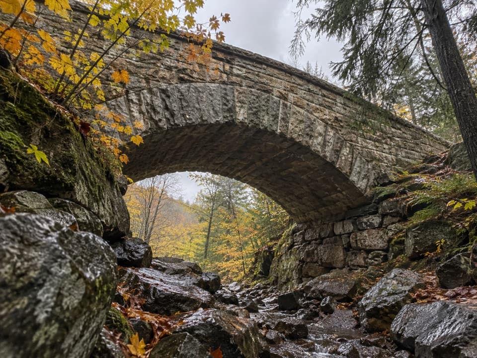 Sight · 1.2 mi awayChasm Brook BridgeA granite arch tucked above a rocky, wooded gorge.
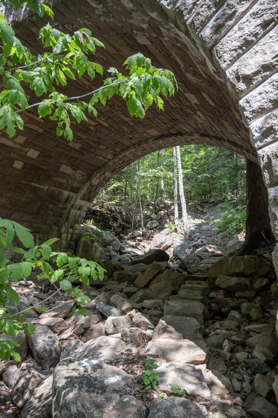 Sight · 1.2 mi awayAmphitheatre BridgeA granite arch curves around two trees toward a waterfall.
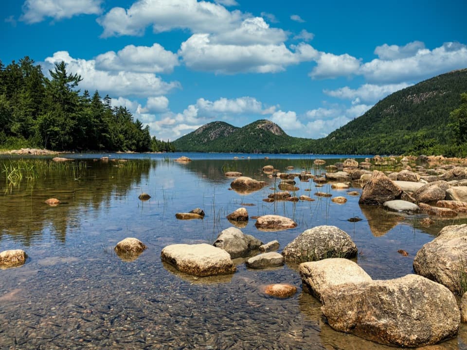 Sight · 1.2 mi awayJordan PondClear water, bare granite, and the Bubbles in one frame.
Parkwolf’s Acadia ranking

The audio tour guide for the drive, plus offline maps, trails, and wildlife heatmaps for when the signal drops.