Pros & cons
PROS
- Quieter ridge traverse with sustained granite ledge hiking and big vistas
- Links multiple summits (Parkman, Gilmore, Sargent) in a compact, high-reward stretch
CONS
- Stream crossings can be slick after rain (Maple Spring Creek, Sargent Brook)
- Maple Spring Trail closure may complicate certain loop options
Access Grandgent via the Parkman–Gilmore–Sargent trail network (often linked with the Giant Slide Trail). Use signed access points and respect any private property near trailheads; there are no facilities on the route.
Steep, rocky scrambles and tight squeezes; slick ledges and stream crossings after rain; icy, hazardous in winter. Check for adjacent trail closures (e.g., Maple Spring) and respect fragile vegetation and any private land at access points.
Why hike it
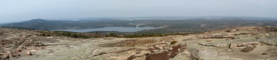
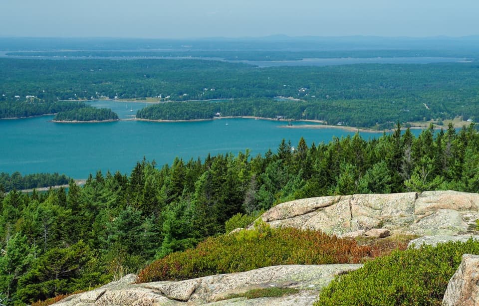
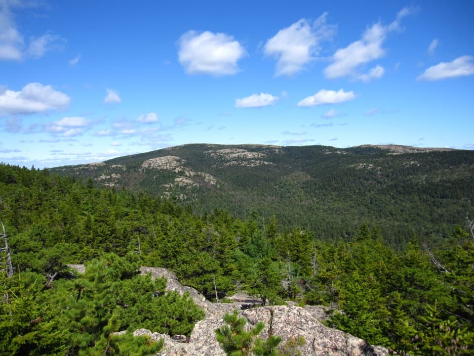
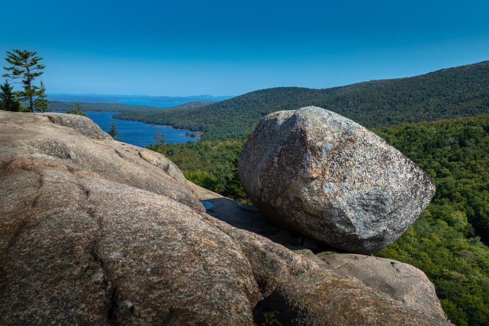
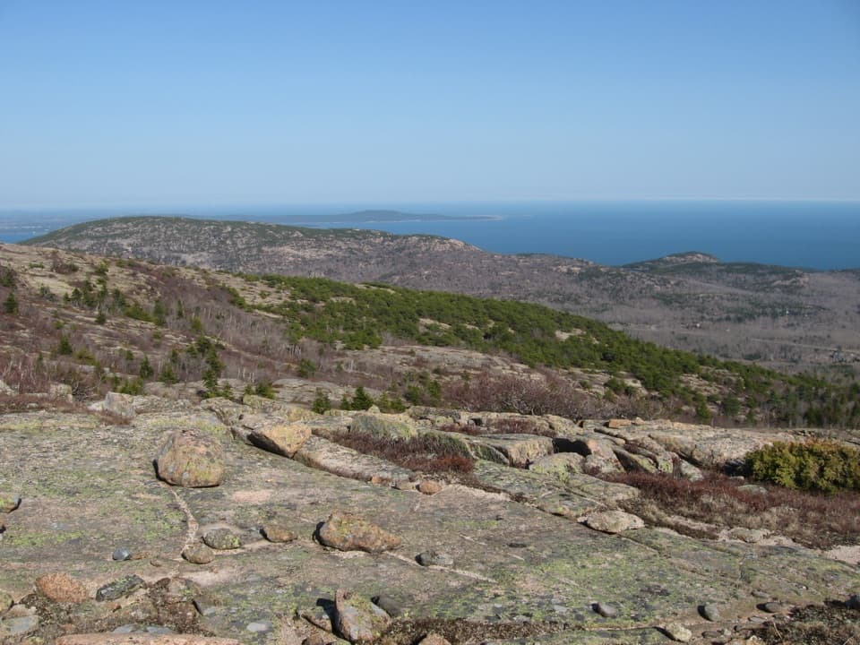
Grandgent is Acadia’s tough-but-rewarding ridge connector for hikers who want big granite, fewer crowds, and summit-to-summit views without the ladder theatrics. It strings together Parkman, Gilmore Peak, and Sargent Mountain, serving up sweeping looks at Jordan Pond, the Bubbles, Cadillac, Somes Sound, and the western mountains.
Route and distance
The Grandgent segment itself runs roughly 0.9 miles one way between Parkman Mountain and Sargent Mountain via Gilmore Peak, with about 700 feet of steep climbing packed into that short distance. Most people weave it into a loop of about 4 miles using neighboring trails, but there are plenty of variations depending on how you connect the peaks.
What it’s like out there
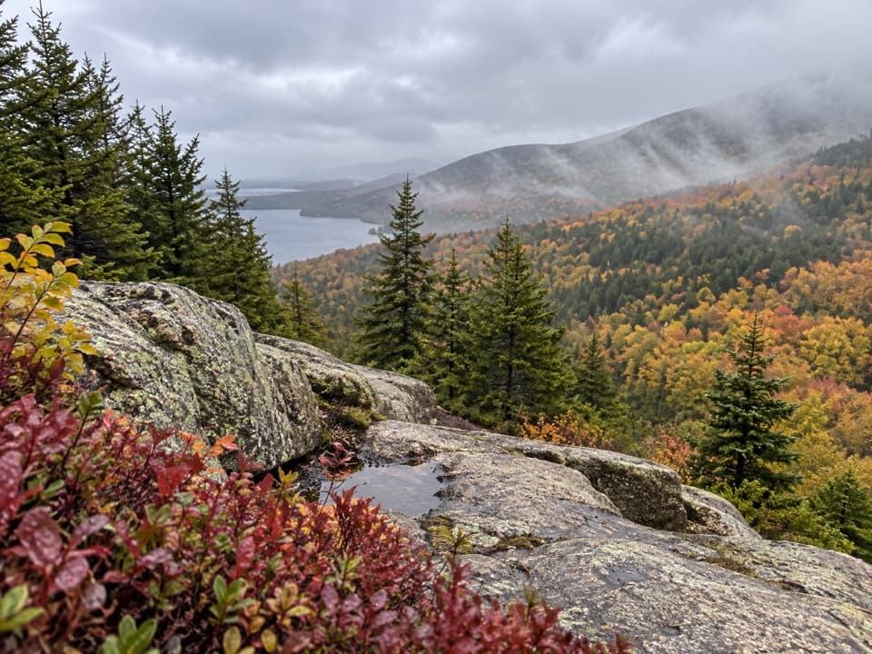
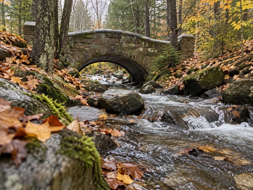
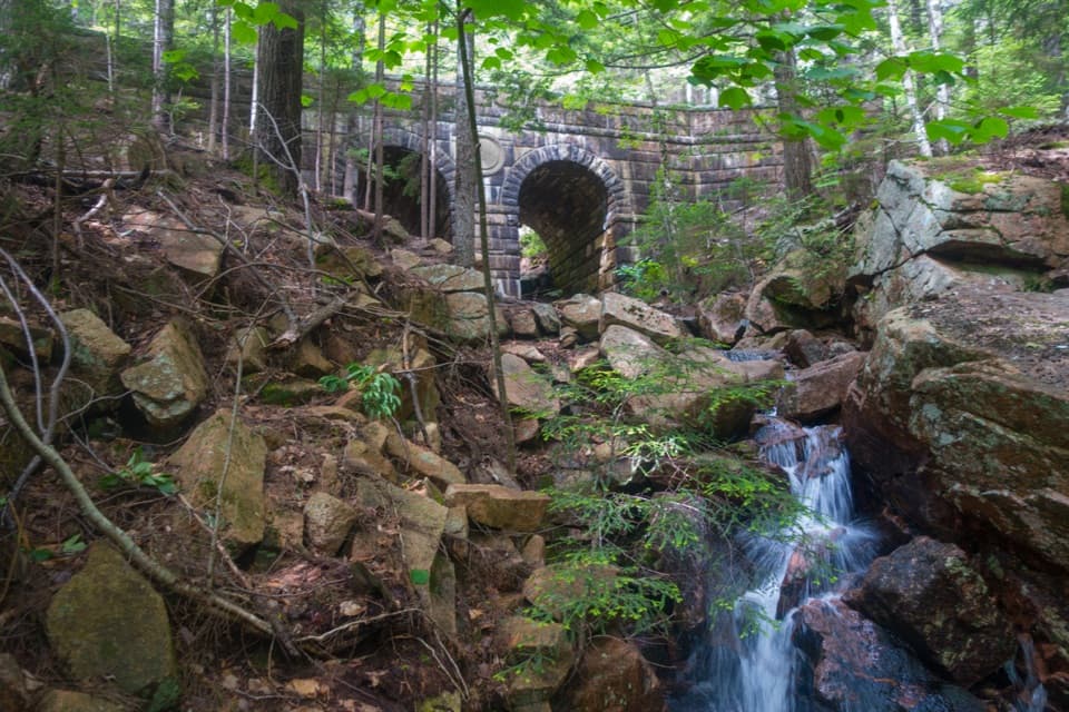
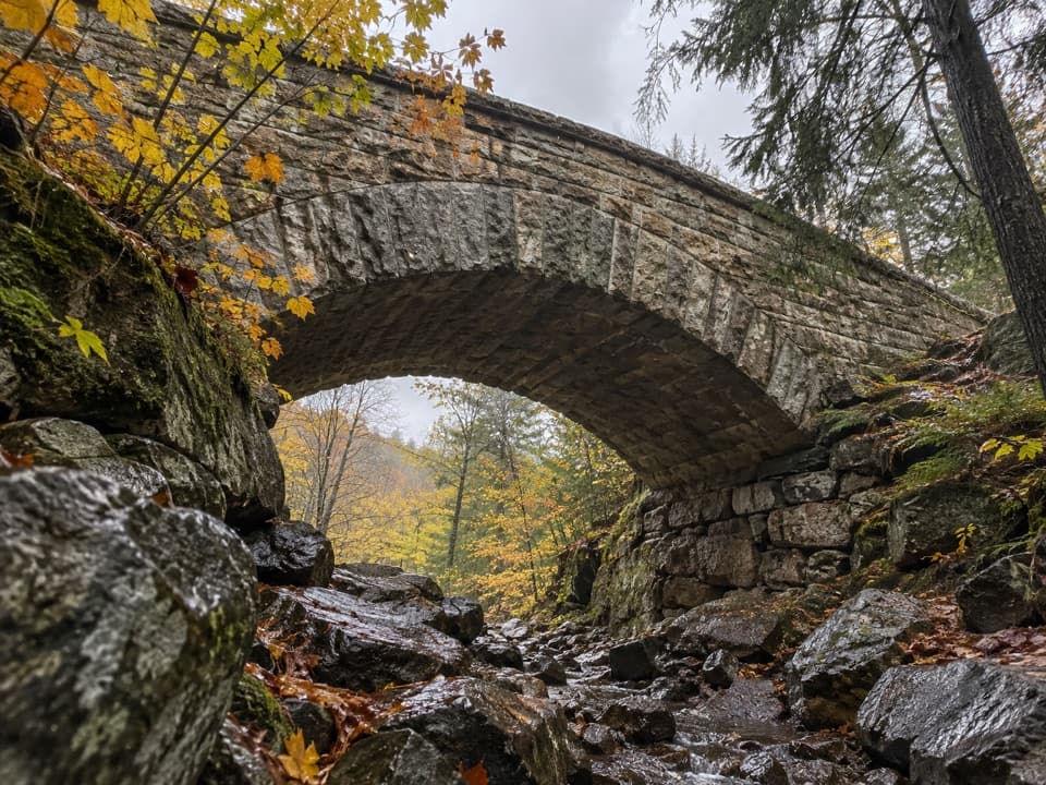
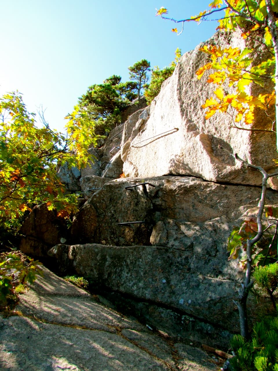
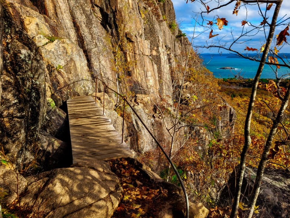
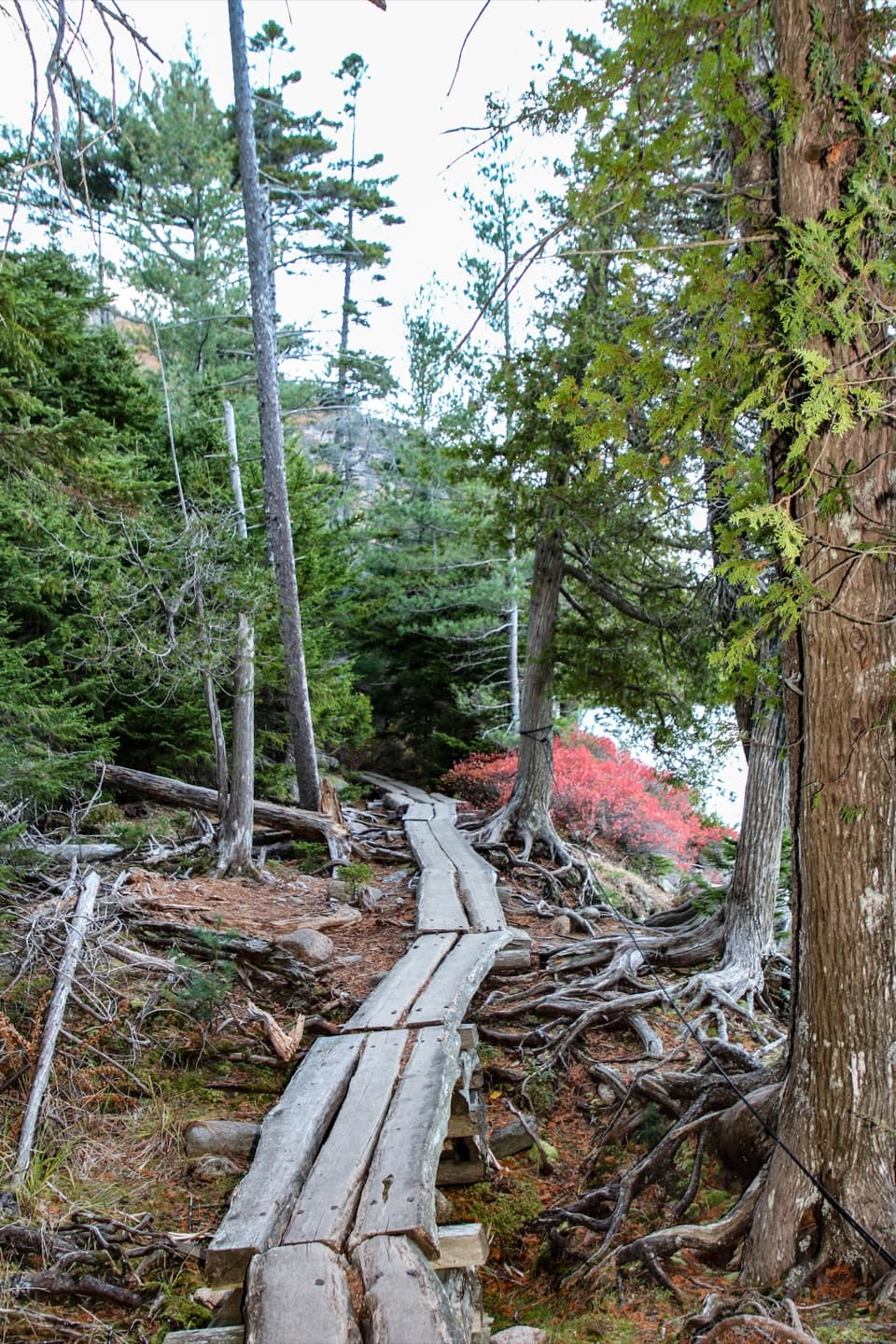
Expect rugged Acadia at its best: exposed granite ledges, dramatic outcrops, boulder scrambles, and a few tight squeezes that demand three points of contact. Underfoot is rough and rocky throughout. In the woods, you’ll pass fir, cedar, and mixed hardwood pockets, with ferns and wildflowers in season and lively bird activity in spring and summer. Water adds ambiance—and slickness—near Maple Spring Creek and Sargent Brook.
Difficulty and who it’s for
This is a challenging hike best for experienced hikers comfortable with steep grades and scrambling. It’s quieter than Acadia’s marquee routes, which is part of the appeal, but that also means you should be self-sufficient: there are no facilities on the trail. Dogs are allowed on leash, but the steep, rocky moves aren’t a great fit for most pets.
Best time to hike
Spring and summer bring lush greenery, wildflowers, and fuller streams (read: slick rocks). Fall is fantastic for cooler temps and foliage. Winter conditions can turn the ledges into ice—attempt only if you’re well prepared and experienced on snow/ice.
Geology, history, and what to notice
You’re moving across ancient, glacially sculpted granite—those open ledges and boulder fields are classic Mount Desert Island. The route honors Charles Grandgent, an early 20th‑century Acadia hiker whose name is tied to the park’s tradition of rugged footpaths.
Tips and logistics
- Footwear with real bite is mandatory; trekking poles help on the steeps and slick slabs.
- Carry plenty of water and snacks; there’s nowhere to refill.
- Check current trail conditions—adjacent Maple Spring Trail has been closed for storm damage, which can affect loop planning.
- Tread lightly on fragile mosses and lichens, and respect any private land near access points.
If you want a similarly wild feel with more mileage, consider loop variants that incorporate the Giant Slide Trail; if you want fixed aids and crowds, this isn’t that hike.
Elevation
0.9 mi · 1.2 hrNear Grandgent Trail
All places →All trails →
Cadillac Mountain SummitLegendary sunrise and 360-degree ocean-and-island viewsTrailhead · Restroom
Beehive SummitShort iron‑rung climb with huge views over Sand BeachScenic Viewpoint
Jordan PondCrystal-clear pond with iconic Bubbles views and an easy shoreline loopTrailhead · Restroom
Champlain MountainCoastal summit with thrilling iron‑rung routes and sweeping ocean viewsTrailhead · Parking
Precipice TrailCliffy, hands-on climb up Champlain with big ocean viewsChallenging · 1 mi · 2.5 hr
Beehive TrailShort, airy iron rungs with huge ocean views above Sand BeachChallenging · 1.5 mi · 2 hr
Jordan Pond Shore TrailClassic loop with crystal water, boardwalks, and the Bubbles viewEasy · 3.3 mi · 1.8 hr
Penobscot Mountain TrailGranite ridge climb to 360-degree views over Jordan PondChallenging · 3.4 mi · 2.5 hr