Parking
Use the National Park Service Eagle Lake Road parking area at the carriage-road access, just north of Eagle Lake. Follow the numbered intersections from the access.
Acadia National Park, ME
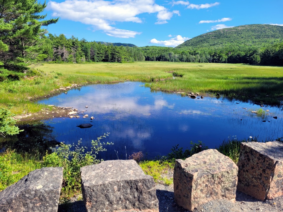
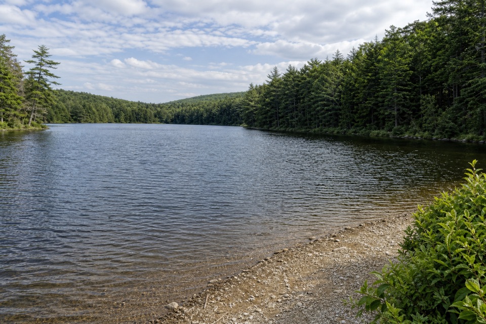
Follow gravel carriage roads to a marshy pond with birdlife.
Overview
Map & elevation
Plan your hike

The highest, rockiest slopes around here are a summer buffet for grizzly bears.
Acadia Tour Guide
Parkwolf is a GPS audio tour guide for Acadia National Park. As you drive, it chimes in with what’s ahead: hidden gems, upcoming stops, history, geology, and wildlife, right through your car’s speakers.
Recorded for this trailhead
Eagle Lake and Its Granite-Clad Arch“You're approaching Eagle Lake's carriage-road entrance, beside the broad stone arch carrying Route Two Thirty-Three.”
Plays as you drive up to this trailhead in the Parkwolf Acadia Tour Guide.
More stories near here in the app
“…As we drove through Acadia it gave us a tour, which was really cool. Lots of great info about the parks and how to avoid the crowds. It’s a great travel companion!”


Trail guide
This is a 6.1-mile loop from the Eagle Lake carriage-road access, with about 2 to 2½ hours of walking. The surface is broad, crushed gravel, and the route rolls through the woods rather than climbing to a summit. Choose it for a longer, low-key walk and the wetland at Aunt Betty Pond; choose a mountain trail if a summit or ocean view is your goal.
Head toward Signpost 11 at Aunt Betty Pond, then loop back toward Signpost 8 and the access along the west side of Eagle Lake. These are carriage roads, not narrow hiking paths, so follow the numbered junction signs through the network. The roads are shared with cyclists and horse-drawn carriages; make room for them, and everyone yields to horses.
Aunt Betty Pond is more marsh than open water. Look and listen along its wet edge for Swamp Sparrow and Tree Swallow; it is also one of the few places in Acadia known for breeding Northern Waterthrush. In the surrounding mixed woods, NPS notes summer singers such as Blackburnian Warbler, Eastern Wood-Pewee and Winter Wren. Summer and fall are good seasons for migrating or breeding songbirds.
This walk uses part of Acadia's 45-mile carriage-road system, built between 1913 and 1940 with Rockefeller family funding. The roads were designed to follow the contours of the land and are wide enough for several kinds of users, so expect company from bikes and horse-drawn carriages.
Start from the Eagle Lake Road carriage-road access parking area and follow the numbered intersections. A park entrance pass is required May 1 through October 31; NPS lists no separate reservation for this walk. Dogs are allowed on the carriage roads on a leash no longer than six feet.
Wildlife
 130 sightingsBald EagleMost seen around noonSighting map
 21 sightingsPeregrine FalconMost seen around 10 AMSighting map
 396 sightingsWhite-tailed DeerMost seen around 7 PMSighting map
 305 sightingsPorcupineMost seen around 7 PMSighting map
 201 sightingsBeaverMost seen around 7 PMSighting map
 34 sightingsMinkMost seen around 7 PMSighting map
Sighting maps show where each species has been reported across Acadia. Wildlife moves, so no sighting is guaranteed.
Keep exploring
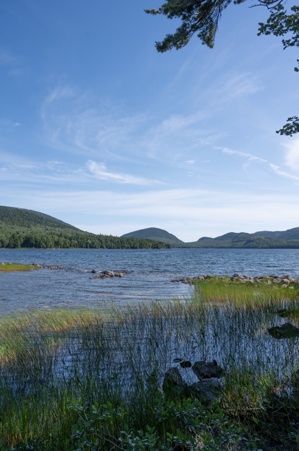 ModerateEagle Lake Carriage Road Loop6 mi · 3 hr · At the trailheadA broad gravel loop with lake views and one long climb.
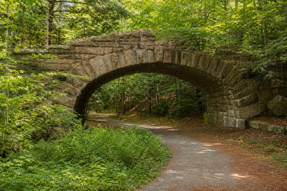 ModerateTri-Lakes Loop10.9 mi · 5 hr · 0.3 mi awayA long circuit links three lakes and five stone bridges.
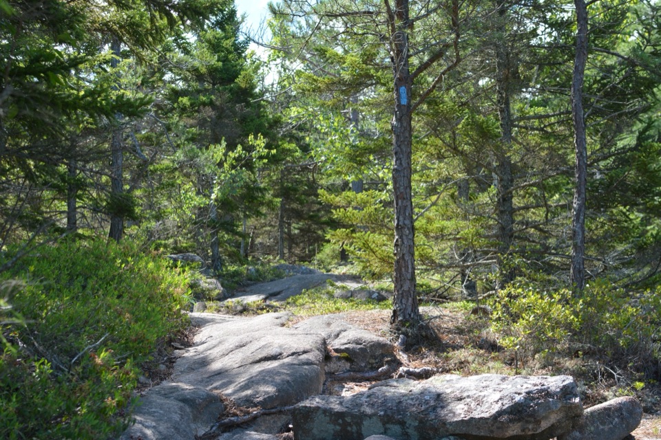 ModerateKebo Brook Trail to Kebo Mountain2 mi · 1.5 hr · 1 mi awayA wooded approach ends in a short, steep granite summit climb.
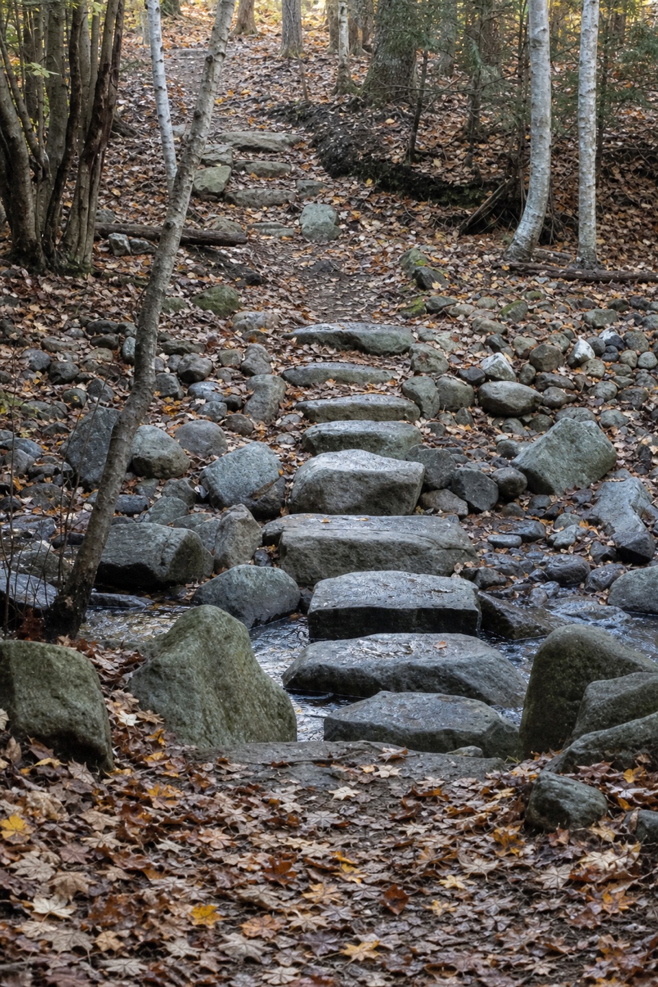 EasyKebo Brook Trail1 mi · 36 min · 1 mi awayFlat stones carry this wooded walk across the brook.
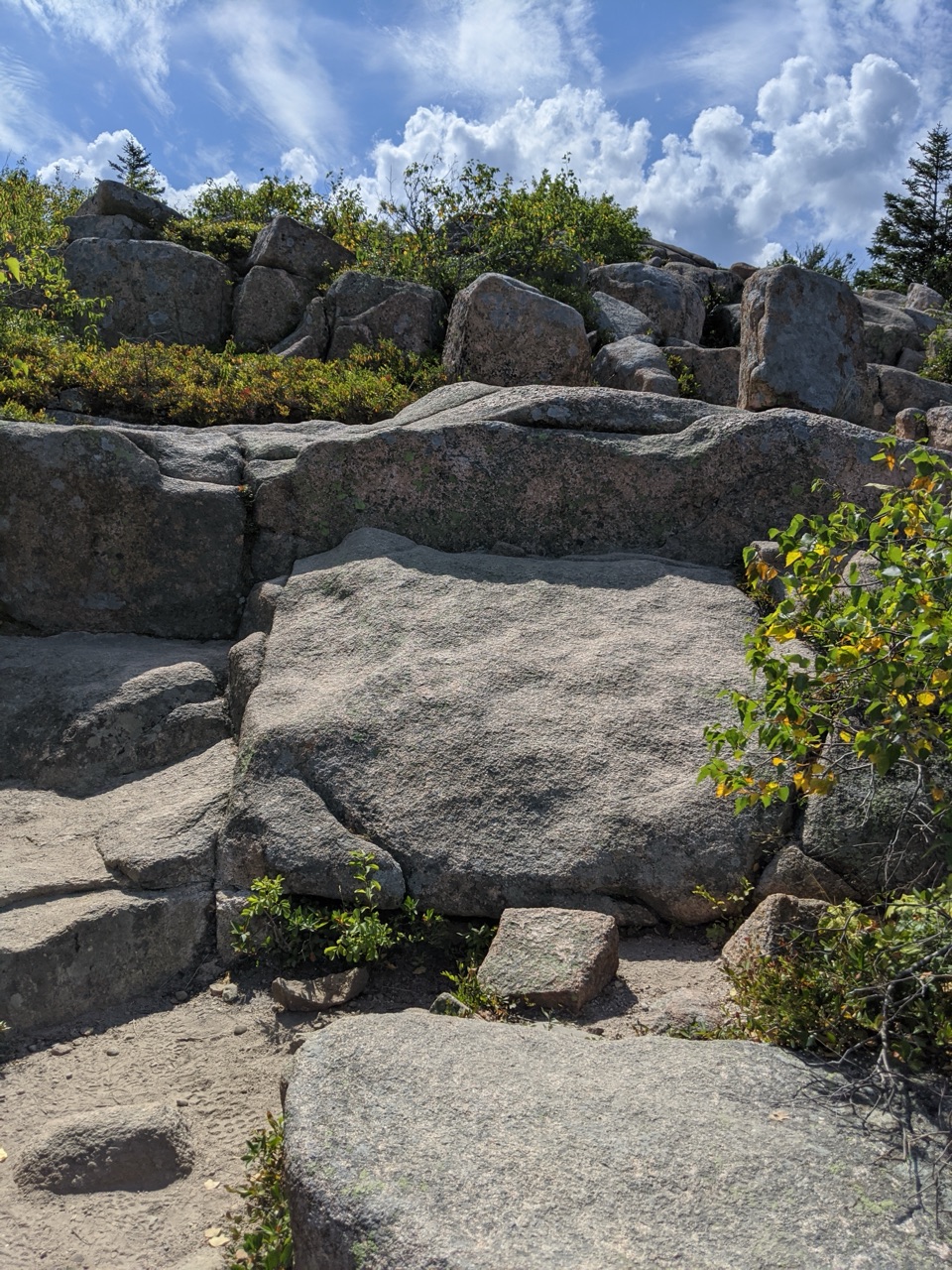 ModerateCadillac Mountain North Ridge Trail4.4 mi · 3.3 hr · 1.1 mi awaySteep granite climbing earns broad island views one ledge at a time.
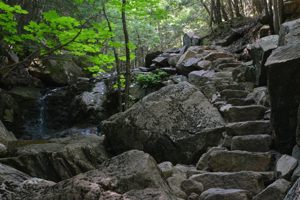 ChallengingGorge Path3.1 mi · 2.7 hr · 1.5 mi awayA steep, stream-cut gorge between Cadillac and Dorr.
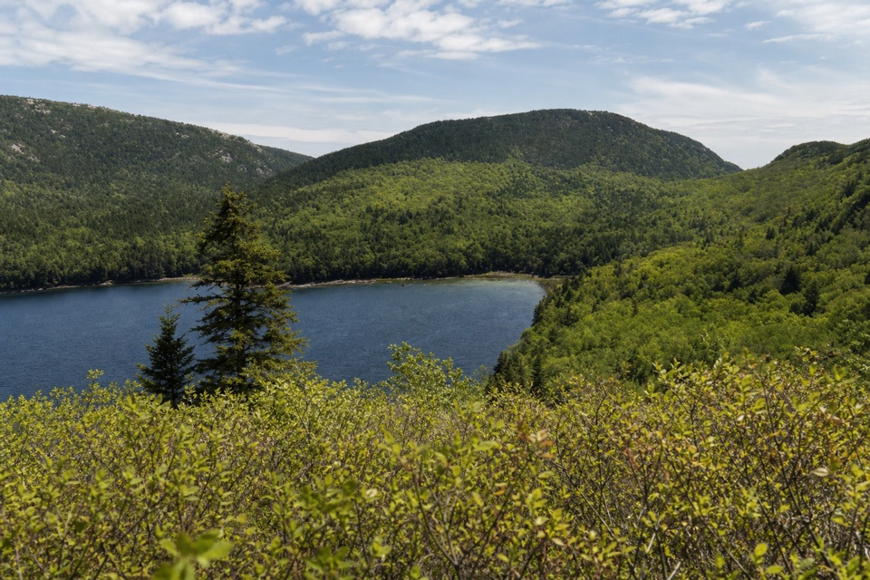 ModerateConners Nubble Trail0.3 mi · 30 min · 1.7 mi awayA short granite climb to an open Eagle Lake view.
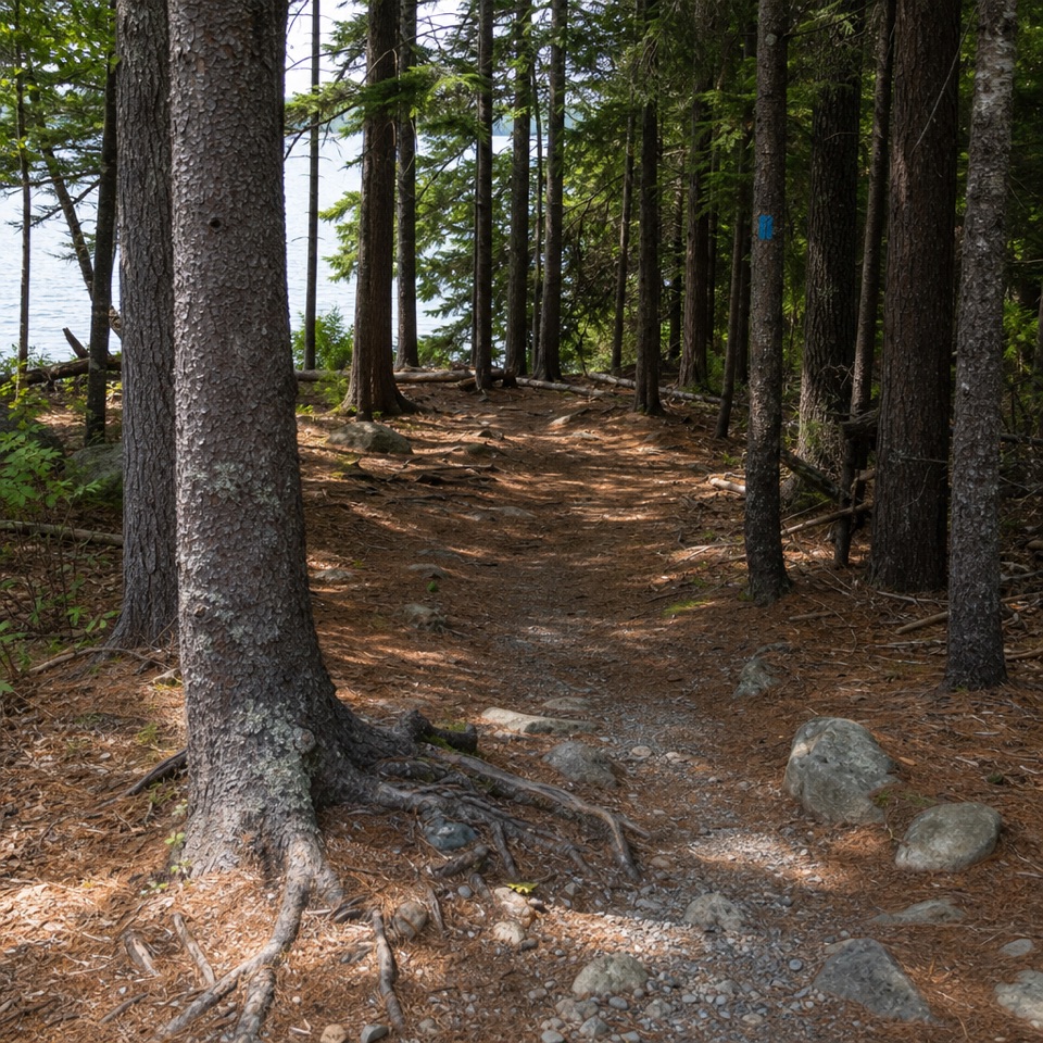 ModerateEagle Lake Trail1.7 mi · 1 hr · 1.7 mi awayA rocky, rooty path along Eagle Lake’s wooded south shore.
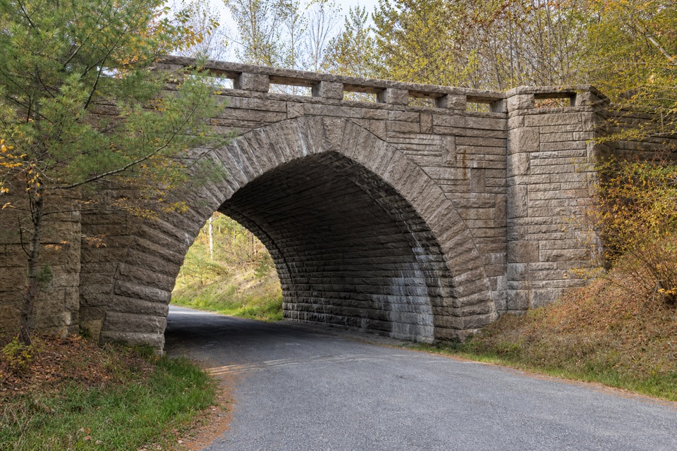 Sight · At the trailheadEagle Lake BridgeA stone arch carries Route 233 over a motor-free carriage road.
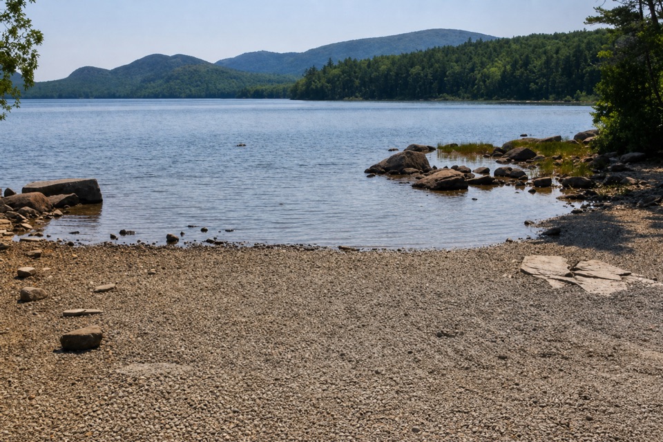 Sight · 0.4 mi awayEagle Lake Boat RampA practical lake launch with carriage-road access and a North Bubble view.
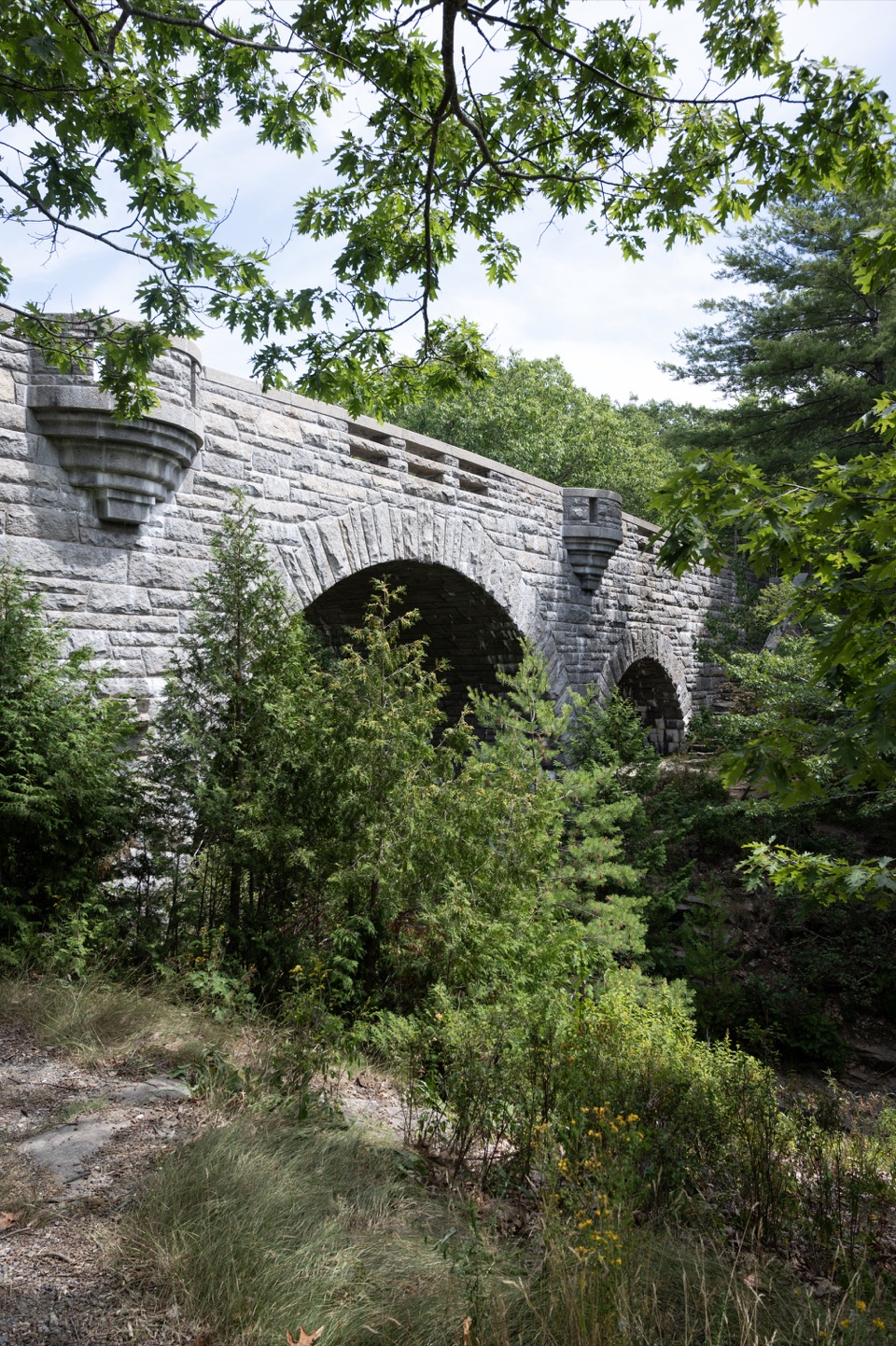 Sight · 1.3 mi awayDuck Brook BridgeA 207-foot, three-arch landmark on the car-free carriage roads.
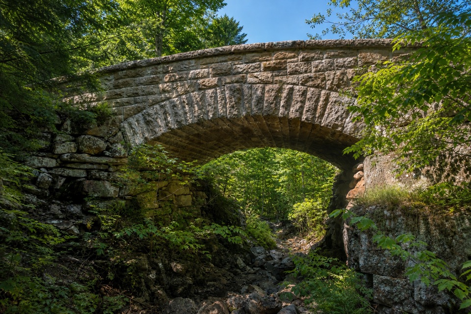 Sight · 2 mi awayChasm Brook BridgeA granite arch tucked above a rocky, wooded gorge.
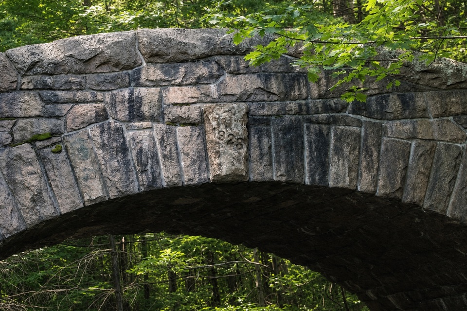 Sight · 2.1 mi awayBubble Pond BridgeA stone arch that survived two rejected designs.
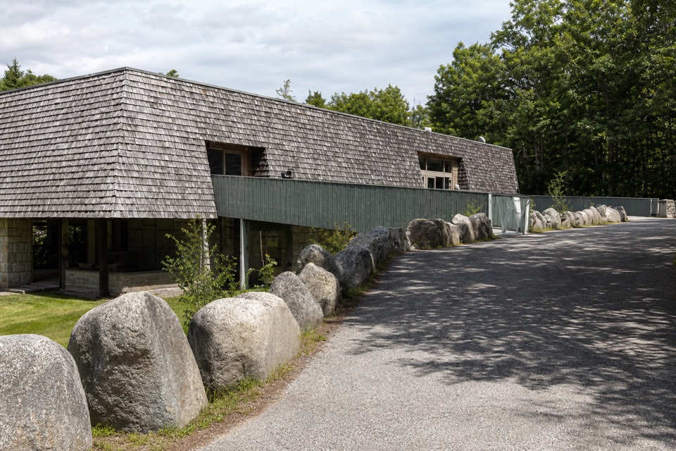 Visitor center · 2.1 mi awayHulls Cove Visitor CenterA smart first stop for maps, passes, and a route plan.
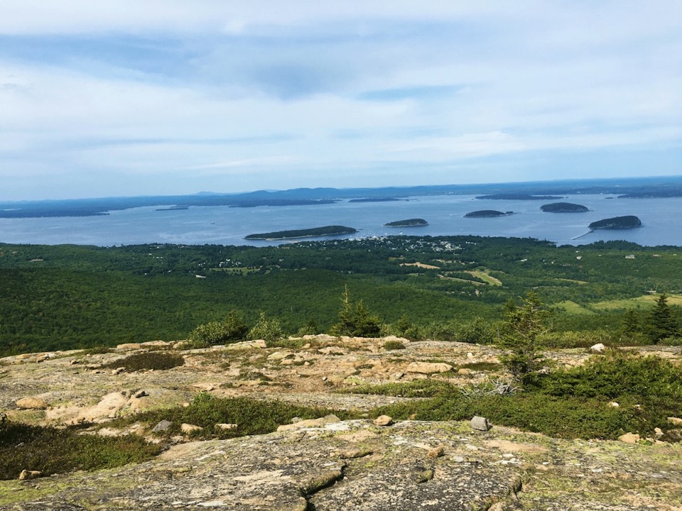 Sight · 2.2 mi awayCadillac MountainA short summit walk opens onto an island-and-ocean panorama.
 Beach · 2.4 mi awayLake Wood Swimming AreaA small wooded beach for a freshwater swim.
Parkwolf’s Acadia ranking

The audio tour guide for the drive, plus offline maps, trails, and wildlife heatmaps for when the signal drops.





