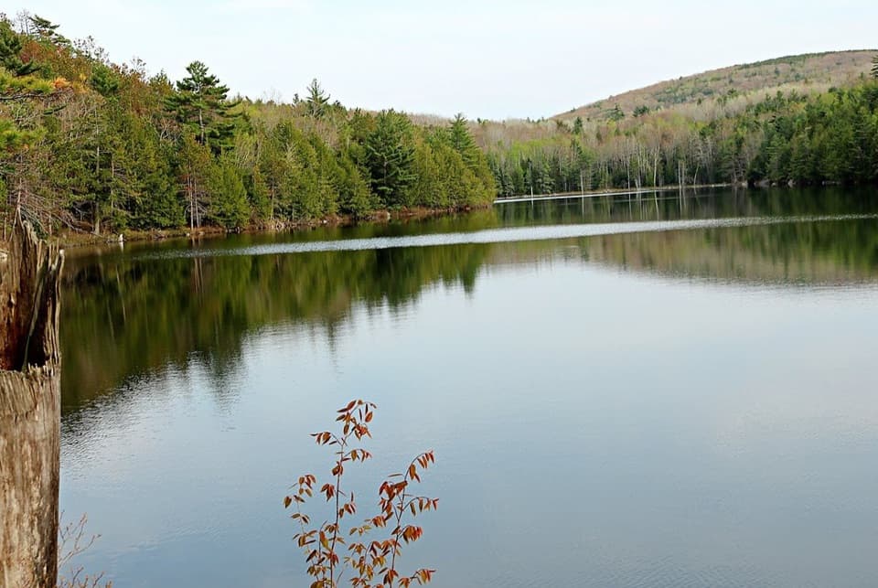
Eagle Lake Carriage Road Loop in Acadia National Park

Acadia National Park, ME

Eagle Lake Carriage Road Loop

A broad gravel loop with lake views and one long climb.

Photo: National Park Service
Length
6mi
Time
3hr
Elev. change
220ft
Difficulty
Moderate
  • Loop
  • Dogs allowed
  • High point 492 ft
  • #53 of 142 in Acadia

Hear the audio tour

Eagle Lake and Its Granite-Clad Arch

Overview

About Eagle Lake Carriage Road Loop

Why go

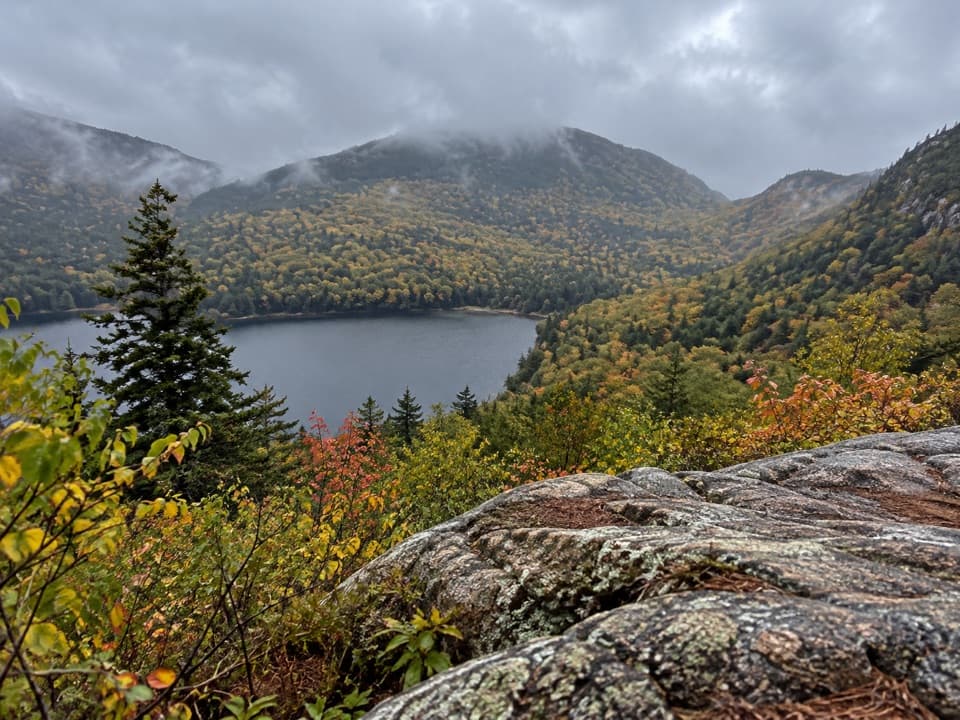
  • Lake and mountain scenery along the eastern shore
  • A historic granite-clad carriage-road bridge at the north entrance

Heads up

  • The west and south legs include a significant climb and descent
  • Tree cover hides the water along some stretches

Map & elevation

The route

Loading the Acadia map
Full map
Elevation272–492 ft
TrailheadEagle Lake Carriage Road Entrance44.37807, -68.25268
Keep this map with you offline in the Parkwolf app

Plan your hike

Before you go

Parking

Start at the Eagle Lake Carriage Road Entrance on the north side of ME 233, across from Eagle Lake. The entrance has two accessible parking spaces and accessible restrooms; continue past the restrooms and kiosk to the gravel road. Parking pressure is reported during peak foliage season. A park entrance pass is required.

Safety

The west and south sides have a significant climb and descent. This broad road is shared with bicycles and horse-drawn carriages. Spring mud closures can restrict access, so check current road notices. A park entrance pass is required.

3 active Acadia alerts

  • ClosureSouthern Ocean Path section closed for repairsThe southern section of Ocean Path is closed for repairs from the trailhead across from the Otter Point parking lot to the trail’s southern terminus.Official details
  • ClosureSchoodic Mountain Road closed for repairsSchoodic Mountain Road is closed for repairs from Schoodic Loop Road to the summit of Schoodic Head.Official details
See all 3 alerts
A park ranger sits on a dash-mounted phone, talking, as Parkwolf’s Tour Guide plays “Army Cutworm Moths: A Grizzly Bear Buffet” on Grand Loop Road below Dunraven Pass in Yellowstone
Parkwolf Tour GuideThe highest, rockiest slopes around here are a summer buffet for grizzly bears.

Acadia Tour Guide

Your drive to Eagle Lake Carriage Road Loop, narrated.

Parkwolf is a GPS audio tour guide for Acadia National Park. As you drive, it chimes in with what’s ahead: hidden gems, upcoming stops, history, geology, and wildlife, right through your car’s speakers.

See the Acadia audio tour

Recorded for this trailhead

Eagle Lake and Its Granite-Clad Arch
0:00 / 0:33
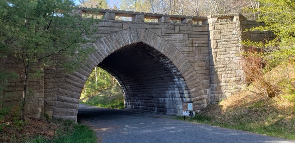
“You're approaching Eagle Lake's carriage-road entrance, beside the broad stone arch carrying Route Two Thirty-Three.”

Plays as you drive up to this trailhead in the Parkwolf Acadia Tour Guide.

More stories near here in the app

  • Kebo Brook and Kebo Mountain
  • The Beaver’s Sharpening Trick
  • Where Autumn Colors Come From
  • Cadillac Mountain’s North Ridge
  • 116 audio storiesacross Acadia’s roads, triggered by GPS as you drive
  • Wildlife heatmapsfor Bald Eagle, Peregrine Falcon, White-tailed Deer, and 13 more
  • Works offlinemaps, 142 trails, 72 places, and audio download before you lose signal
  • CarPlay readysimple controls built for the drive
★★★★★
“…As we drove through Acadia it gave us a tour, which was really cool. Lots of great info about the parks and how to avoid the crowds. It’s a great travel companion!”
MyMysteryChicaApp Store review
Download Parkwolf on the App StoreGet Parkwolf on Google Play

4.7 from 8,600+ ratings

Trail guide

Hiking Eagle Lake Carriage Road Loop

Take the carriage road around the lakeEagle Lake Carriage Road Loop is a broad gravel circuit around the full lake.

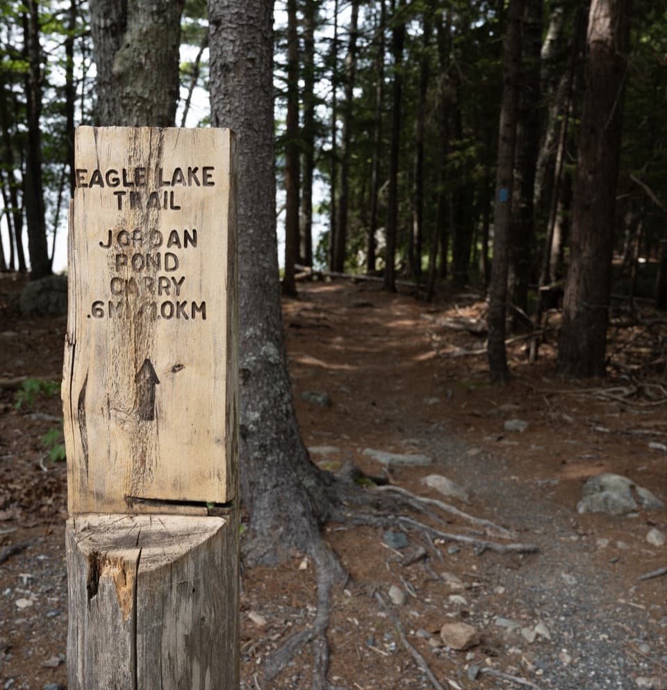
Eagle Lake Carriage Road Loop is a broad gravel circuit around the full lake. From the north-side Eagle Lake Carriage Road Entrance on ME 233, the mapped approach joins the named 5.9-mile loop and returns the same way, for about 6 miles from the lot. Follow the numbered route 6–9–8–7–6. This is a long, steady road walk with lake and mountain scenery, not the separate, rugged Eagle Lake Trail that follows the shore.

Plan for one substantial hillThe eastern and northern sides between intersections 7 and 9 are mostly level.

The eastern and northern sides between intersections 7 and 9 are mostly level. The western and southern sides climb and descend more noticeably, with the high point at intersection 8. The gravel road is smooth enough for a steady walk, but six miles and that sustained hill make it a moderate outing rather than a quick stroll. Allow about three hours with pauses. If you want the lake setting without committing to the full circuit, choose a shorter stop elsewhere around the lake instead of turning this loop into an improvised out-and-back.

The water comes and goesThe route circles Eagle Lake but pulls away from the shoreline on its southern and southwestern…

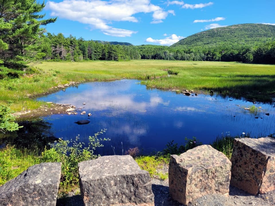
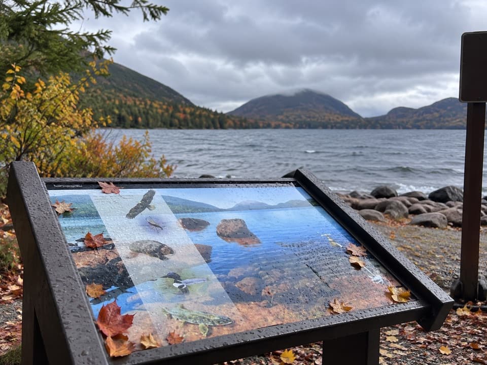
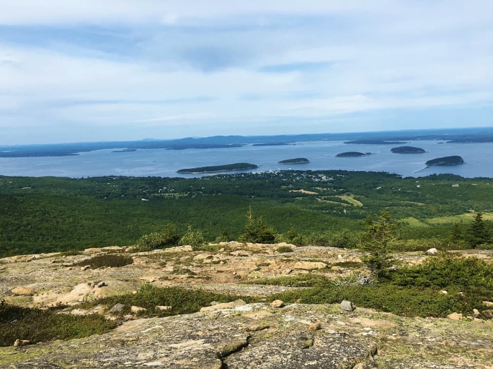
The route circles Eagle Lake but pulls away from the shoreline on its southern and southwestern sides, where trees screen the water for stretches. The clearest open views are along the eastern side and near the north end; the first half-mile on the east side is a good place to pause if the lake is your main reason for coming. From an open shore, reeds or rocks in the foreground help frame the water and the wooded ridgeline beyond it.

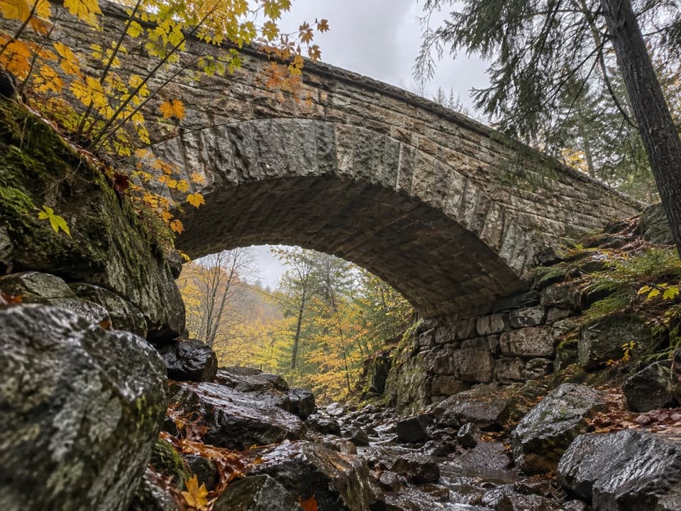
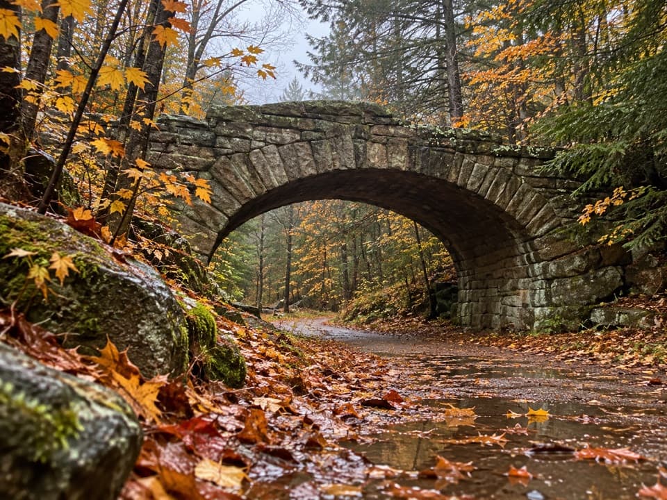
Look for the bridge at the north entranceThe north approach passes the stone Eagle Lake Bridge, a 118-foot Gothic arch completed in 1927…

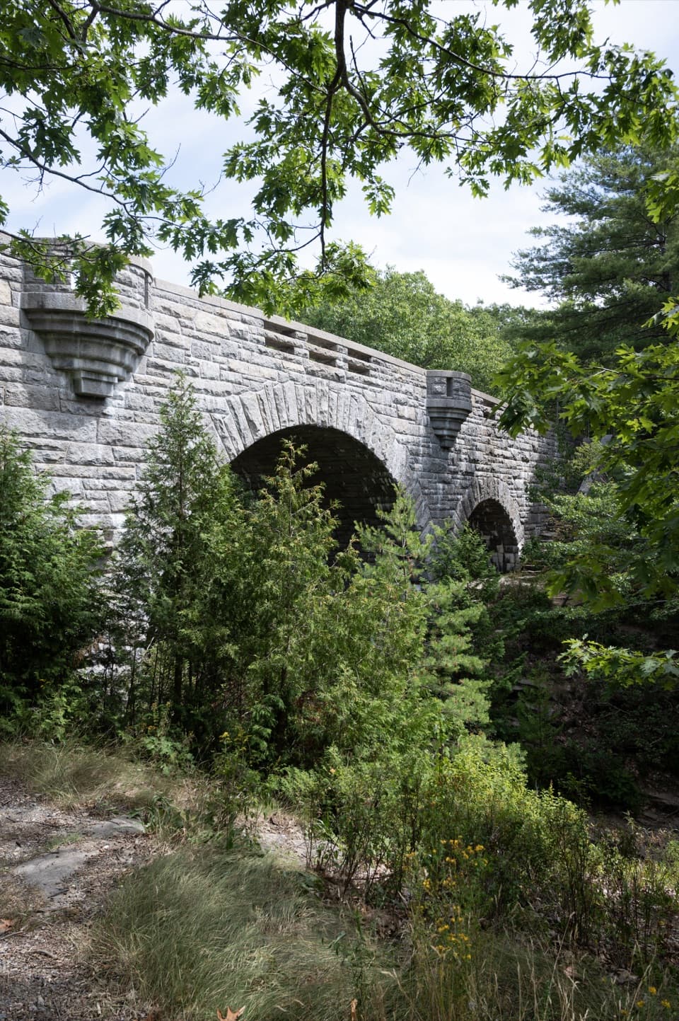
The north approach passes the stone Eagle Lake Bridge, a 118-foot Gothic arch completed in 1927 and faced with quarry-cut granite over reinforced concrete. It was the ninth of 17 carriage-road bridges built on Mount Desert Island between 1917 and 1940. The bridge carries Route 233 over a carriage road; its completion opened the way for new roads north of Eagle Lake, part of John D. Rockefeller Jr.’s plans for views toward Frenchman Bay. It was widened in 1974, but the granite arch remains the landmark to look for.

Start at the north lotThe carriage-road entrance is on the north side of ME 233, across from the lake.

The carriage-road entrance is on the north side of ME 233, across from the lake. There are two accessible parking spaces and accessible restrooms; continue past the restrooms and kiosk to the gravel road. Parking can be pressured during peak foliage season, so an early start helps. A park entrance pass is required. Dogs are allowed on the carriage roads on a leash no longer than six feet, and walkers share the road with cyclists and horse-drawn carriages. Carry drinking water before starting; no on-route water source was identified. Spring mud closures sometimes protect the gravel from rutting, so check current road notices before setting out.

Wildlife

Wildlife in Acadia

All Acadia wildlife maps

Sighting maps show where each species has been reported across Acadia. Wildlife moves, so no sighting is guaranteed.

Keep exploring

Near Eagle Lake Carriage Road Loop

See it all on the map

Trails that start nearby

Places near the trailhead

Parkwolf’s Acadia ranking

Top-rated trails in Acadia

All 142 trails
  1. 1Beehive Loop TrailChallenging · 1.4 mi
  2. 2Precipice TrailChallenging · 2.1 mi
  3. 3Jordan Pond PathModerate · 3.3 mi
  4. 4Bubbles TrailModerate · 1.5 mi
  5. 5Ocean PathEasy · 2.2 mi
  6. 6Cadillac Mountain South Ridge TrailChallenging · 7.8 mi

Take Parkwolf to Acadia.

The audio tour guide for the drive, plus offline maps, trails, and wildlife heatmaps for when the signal drops.

4.7 from 8,600+ ratings

Download Parkwolf on the App StoreGet Parkwolf on Google Play