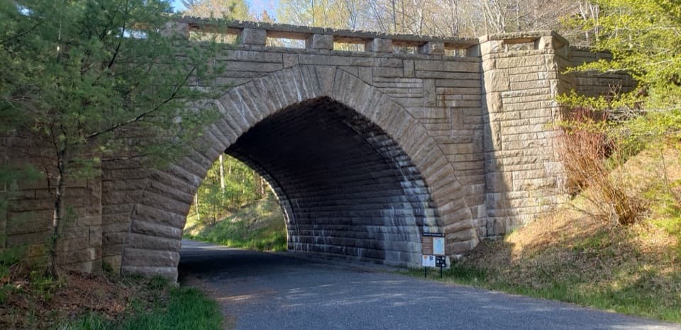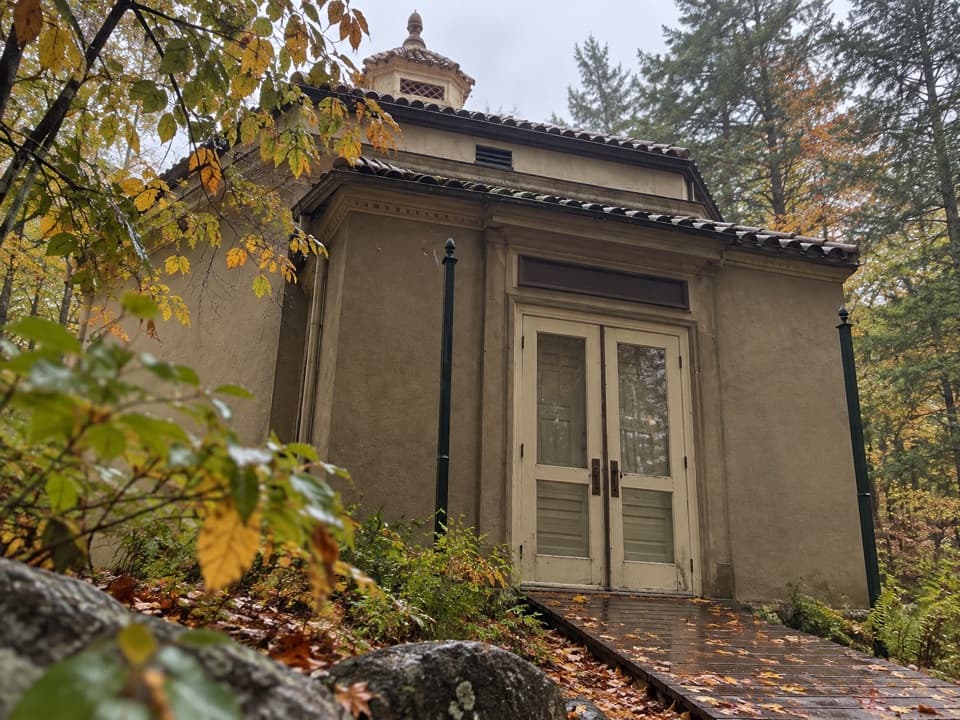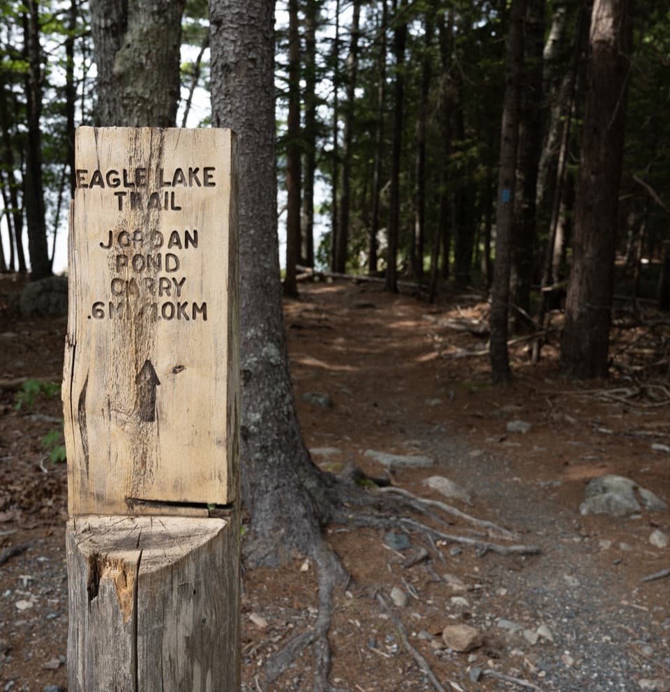
Eagle Lake Trail in Acadia National Park

Acadia National Park, ME

Eagle Lake Trail

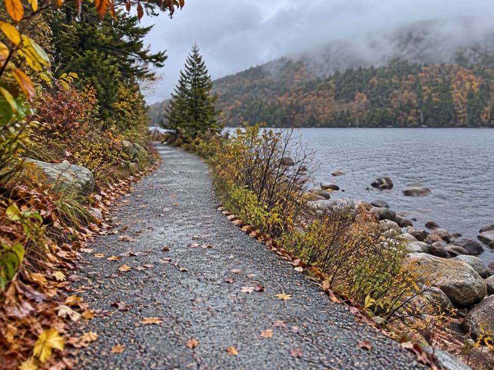
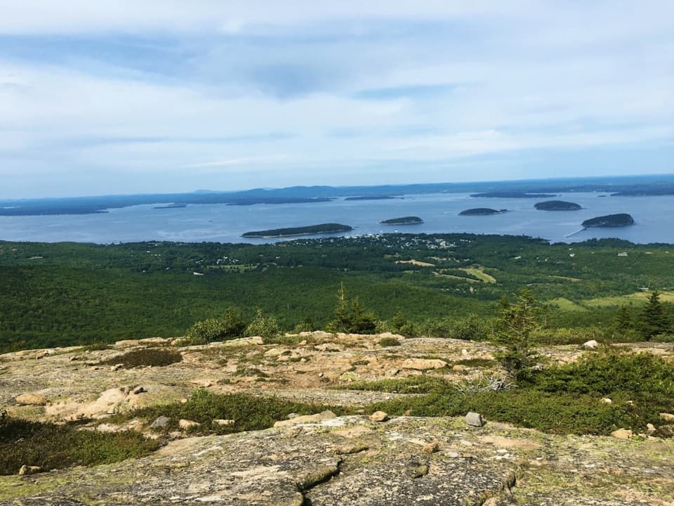
A rocky, rooty path along Eagle Lake’s wooded south shore.

Photo: National Park Service
Length
1.7mi
Time
1hr
Elevation
Flat
Difficulty
Moderate
  • Dogs allowed
  • High point 308 ft

Hear the audio tour

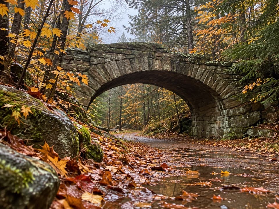
Bubble Pond and Its Rustic Bridge

Overview

About Eagle Lake Trail

Why go

  • A forested footpath follows the lake’s south shore away from the carriage road.
  • Almost flat grade keeps the short connector manageable.

Heads up

  • It is point-to-point, so a return plan matters.
  • Roots, rocks, and wet low spots interrupt the easy grade.

Map & elevation

The route

Loading the Acadia map
Full map
Elevation278–308 ft
TrailheadEagle Lake Trail east end, Bubble Pond side44.35351, -68.24543
Keep this map with you offline in the Parkwolf app

Plan your hike

Before you go

Parking

The small Bubble Pond lot on Park Loop Road is the closest parking for the eastern end, about 0.4 mile southeast of the trail. The western end meets Eagle Lake Carriage Road; the closest parking for that access is about 2 miles north of the lake. The Bubbles lot connects through Jordan Pond Carry to the trail near its midpoint.

Safety

Uneven rocks and exposed roots include a rough boulder-strewn stretch below Conners Nubble. Low areas can be wet or muddy; narrow plank bridges cross some of them.

3 active Acadia alerts

  • ClosureSouthern Ocean Path section closed for repairsThe southern section of Ocean Path is closed for repairs from the trailhead across from the Otter Point parking lot to the trail’s southern terminus.Official details
  • ClosureSchoodic Mountain Road closed for repairsSchoodic Mountain Road is closed for repairs from Schoodic Loop Road to the summit of Schoodic Head.Official details
See all 3 alerts
A park ranger sits on a dash-mounted phone, talking, as Parkwolf’s Tour Guide plays “Army Cutworm Moths: A Grizzly Bear Buffet” on Grand Loop Road below Dunraven Pass in Yellowstone
Parkwolf Tour GuideThe highest, rockiest slopes around here are a summer buffet for grizzly bears.

Acadia Tour Guide

Your drive to Eagle Lake Trail, narrated.

Parkwolf is a GPS audio tour guide for Acadia National Park. As you drive, it chimes in with what’s ahead: hidden gems, upcoming stops, history, geology, and wildlife, right through your car’s speakers.

See the Acadia audio tour

Recorded for this area

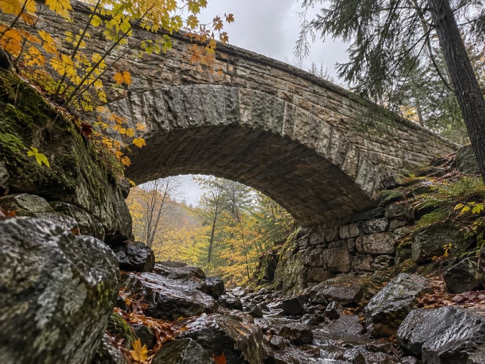
Bubble Pond and Its Rustic Bridge
0:00 / 0:31
“Bubble Pond is coming up, and for an easy stop I'd take the gravel carriage road along its western shore.”

Plays on the road 0.3 mi from the trailhead in the Parkwolf Acadia Tour Guide.

More stories near here in the app

  • Cadillac’s Train to the Top
  • The Chickadee’s Hidden Pantry
  • The Beaver’s Sharpening Trick
  • Bubbles Divide and Bubble Rock
  • 116 audio storiesacross Acadia’s roads, triggered by GPS as you drive
  • Wildlife heatmapsfor Bald Eagle, Peregrine Falcon, White-tailed Deer, and 13 more
  • Works offlinemaps, 142 trails, 72 places, and audio download before you lose signal
  • CarPlay readysimple controls built for the drive
★★★★★
“…As we drove through Acadia it gave us a tour, which was really cool. Lots of great info about the parks and how to avoid the crowds. It’s a great travel companion!”
MyMysteryChicaApp Store review
Download Parkwolf on the App StoreGet Parkwolf on Google Play

4.7 from 8,600+ ratings

Trail guide

Hiking Eagle Lake Trail

A short shoreline connectorEagle Lake Trail is a 1.

Eagle Lake Trail is a 1.7-mile one-way footpath along the south shore of Eagle Lake, from the Bubble Pond side to the Eagle Lake Carriage Road side. It is the named hiking path, separate from the roughly 5.9-mile carriage-road loop around the lake. The grade is almost flat, so this works well as an easy extra stretch beside the water. The distance is for one direction: retracing the trail makes it about 3.4 miles. Allow about an hour for the path itself and plan how you will return.

Under the pinesThe narrow tread stays close to the lake through low pine forest, with ferns and moss along…

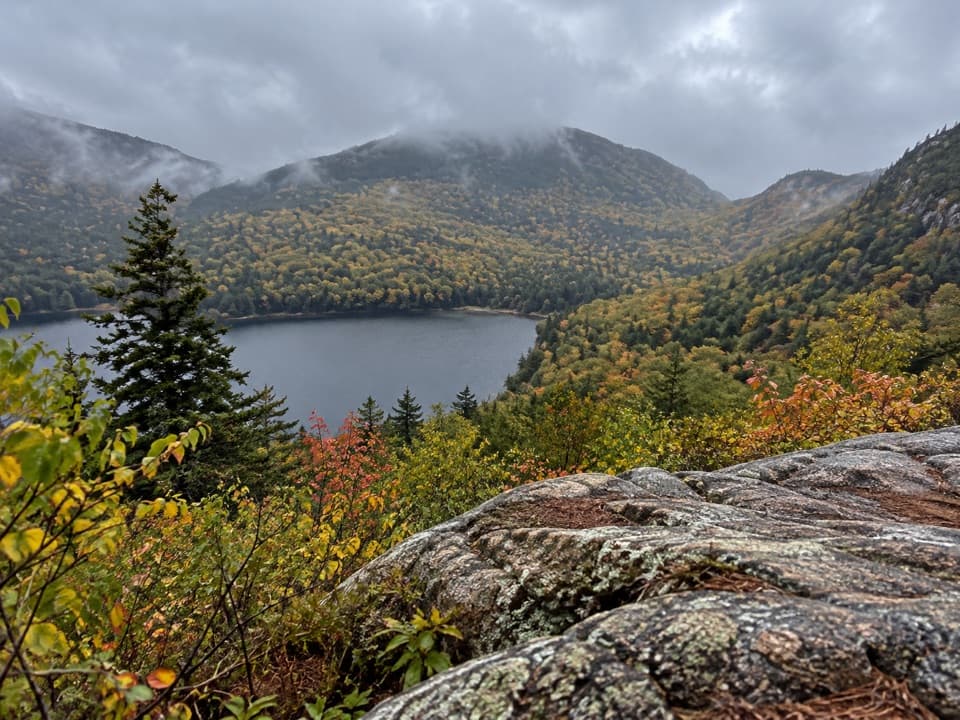
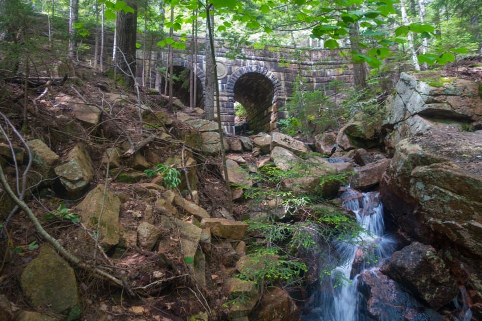
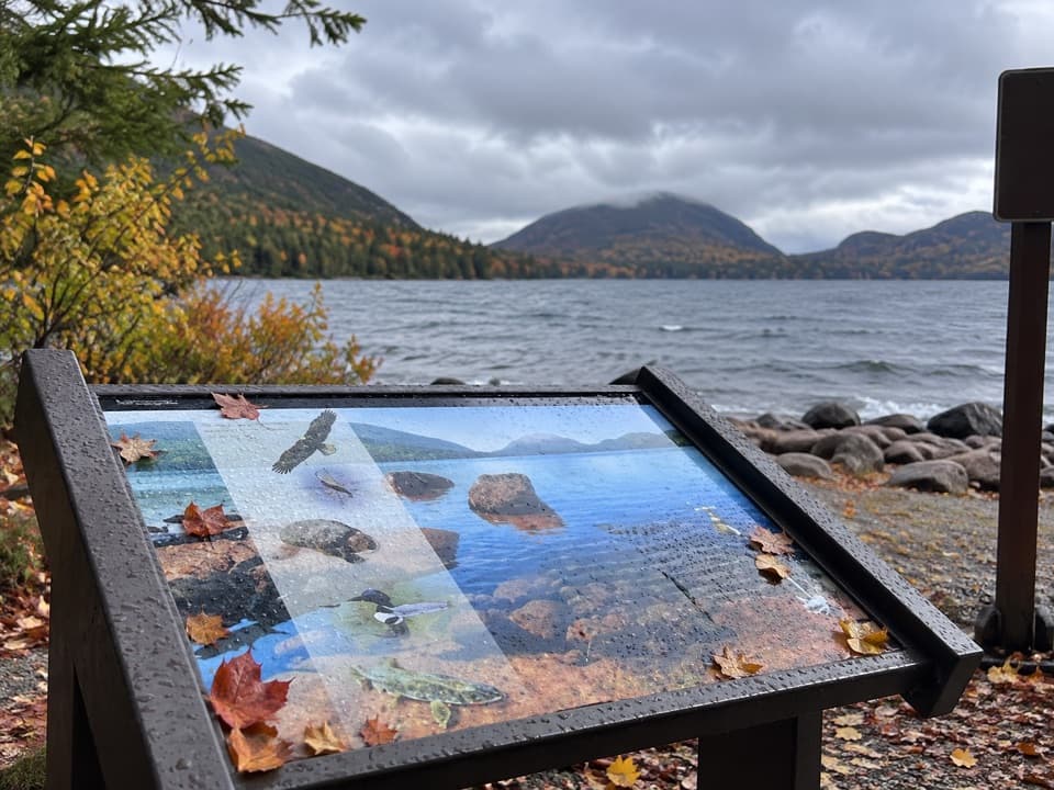
The narrow tread stays close to the lake through low pine forest, with ferns and moss along parts of the way. Roots and rocks keep your feet busy, and short plank bridges cross low ground that can be soggy. On the northwestern stretch, the path contours around the rocky base of Conners Nubble; that is the roughest part, but it is not a summit climb. You get glimpses of Eagle Lake and the Nubble through the trees rather than a wide-open viewpoint.

Plan your accessThe small Bubble Pond parking lot is about 0.4 mile southeast of the eastern trail end.

The small Bubble Pond parking lot is about 0.4 mile southeast of the eastern trail end. From the Bubbles lot, Jordan Pond Carry reaches the trail around halfway after about 0.8 mile, so that approach joins in the middle rather than at the western end. The western end meets Eagle Lake Carriage Road, where the closest parking is about 2 miles north of the lake. Arrange a pickup, retrace your steps, or build the path into a longer outing. Dogs are allowed here and must stay on a leash no longer than six feet.

Wildlife

Wildlife in Acadia

All Acadia wildlife maps

Sighting maps show where each species has been reported across Acadia. Wildlife moves, so no sighting is guaranteed.

Keep exploring

Near Eagle Lake Trail

See it all on the map

Trails that start nearby

Places near the trailhead

Parkwolf’s Acadia ranking

Top-rated trails in Acadia

All 142 trails
  1. 1Beehive Loop TrailChallenging · 1.4 mi
  2. 2Precipice TrailChallenging · 2.1 mi
  3. 3Jordan Pond PathModerate · 3.3 mi
  4. 4Bubbles TrailModerate · 1.5 mi
  5. 5Ocean PathEasy · 2.2 mi
  6. 6Cadillac Mountain South Ridge TrailChallenging · 7.8 mi

Take Parkwolf to Acadia.

The audio tour guide for the drive, plus offline maps, trails, and wildlife heatmaps for when the signal drops.

4.7 from 8,600+ ratings

Download Parkwolf on the App StoreGet Parkwolf on Google Play