Parking
Use Sand Beach parking on Park Loop Road, then follow the Bowl Trail to The Bowl. The South Ridge begins at the pond-side junction; this access walk is not included in the 1.6-mile segment distance.
Acadia National Park, ME
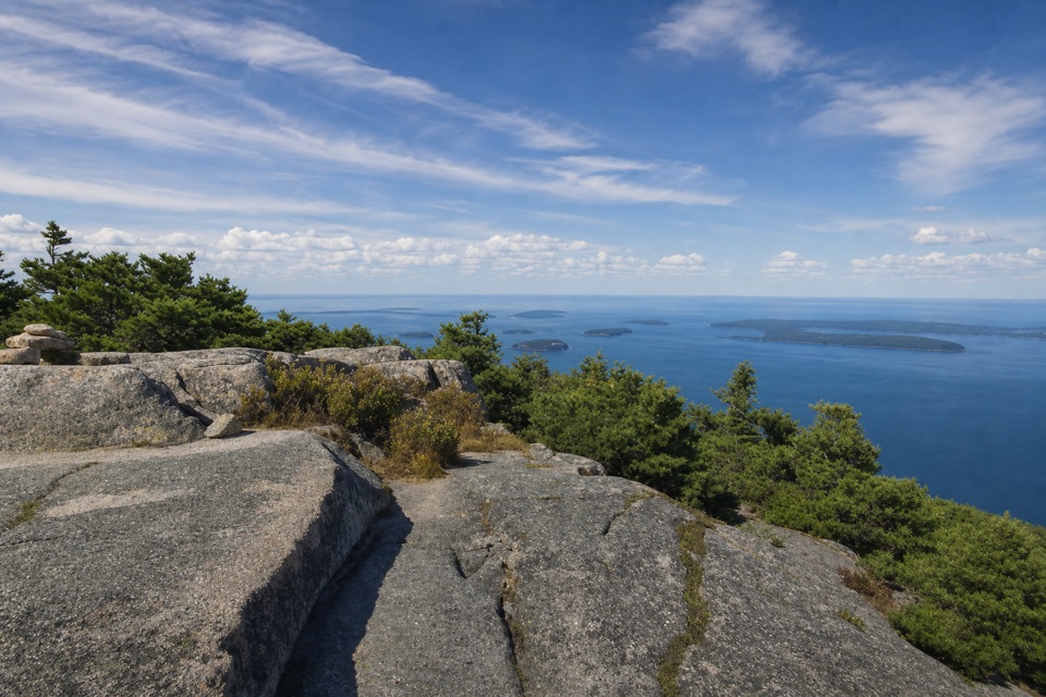
A granite ridge climbs from The Bowl to broad coastal views.
Overview
Map & elevation
Plan your hike

The highest, rockiest slopes around here are a summer buffet for grizzly bears.
Acadia Tour Guide
Parkwolf is a GPS audio tour guide for Acadia National Park. As you drive, it chimes in with what’s ahead: hidden gems, upcoming stops, history, geology, and wildlife, right through your car’s speakers.
Recorded for this area
The Beehive’s Rung Climb“The Beehive trailhead is coming up, for an iron-rung climb to views over Sand Beach and the sea. The one point four mile loop takes about two hours, with scrambling and steep drops without railings.”
Plays on the road 0.5 mi from the trailhead in the Parkwolf Acadia Tour Guide.
More stories near here in the app
“…As we drove through Acadia it gave us a tour, which was really cool. Lots of great info about the parks and how to avoid the crowds. It’s a great travel companion!”


Trail guide
This point-to-point granite climb runs 1.6 miles one way from the south side of The Bowl to Champlain Mountain's 1,058-foot summit, gaining about 600 feet. It is an open-rock alternative to the mountain's iron-rung approaches, but a short scramble near the top still calls for steady footing. The 1.6 miles is the named South Ridge segment; from the common Sand Beach access, the Bowl Trail makes the summit about 2.4 miles one way. Allow 2–4 hours for the full out-and-back, or about 4.8 miles if you return to Sand Beach by the same route.
The lower end meets the Bowl Trail at The Bowl. A short planked stretch skirts the pond before the path turns north and climbs over granite. The ascent is steady; trees thin as you gain the ridge, and the last short scramble gives way to a more level approach across open rock. At the summit, the route meets trails toward Precipice, Beachcroft and Champlain's North Ridge, so choose your descent before you set off.
Much of the upper route crosses exposed granite. Cairns mark the way, but some informal rock piles can look like trail markers. Pause at turns, keep the next marked cairn in sight, and follow the established line rather than a tempting side path. This is less technical than the iron-rung routes, but the brief scramble and uneven rock still make it a poor fit for anyone uncomfortable with rough footing.
The Bowl is a glacially carved pond tucked between The Beehive and Champlain. As the ridge opens, look south to see it below you, with the Atlantic and outlying islands beyond; Dorr and Cadillac stand to the west. Red blueberry leaves color the open slopes in fall. For a photo, include a strip of granite foreground with The Bowl and the sea stacked behind it.
Use Sand Beach parking on Park Loop Road, then follow the Bowl Trail to The Bowl; the 1.6-mile figure begins at the South Ridge junction, not at the parking area. Dogs are permitted on this route on a leash no longer than six feet. The path was formerly called Bear Brook Trail and belongs to Acadia's older mountain-trail network.
Wildlife
 130 sightingsBald EagleMost seen around noonSighting map
 21 sightingsPeregrine FalconMost seen around 10 AMSighting map
 396 sightingsWhite-tailed DeerMost seen around 7 PMSighting map
 305 sightingsPorcupineMost seen around 7 PMSighting map
 201 sightingsBeaverMost seen around 7 PMSighting map
 34 sightingsMinkMost seen around 7 PMSighting map
Sighting maps show where each species has been reported across Acadia. Wildlife moves, so no sighting is guaranteed.
Keep exploring
 ChallengingBeehive Loop Trail1.4 mi · 2 hr · 0.5 mi awayClimb iron rungs above Sand Beach, then loop past the Bowl.
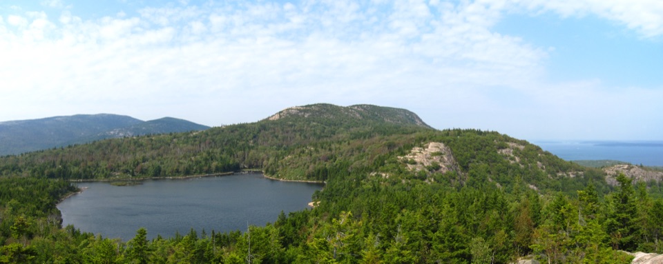 ModerateBowl Trail1.3 mi · 1.5 hr · 0.5 mi awayA rocky pond hike that skips the Beehive ladders.
 EasyOcean Path2.2 mi · 3 hr · 0.5 mi awayA relaxed coastal walk from Sand Beach to Otter Cove.
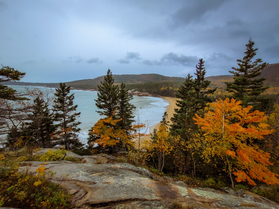 ModerateGreat Head Trail1.9 mi · 3 hr · 0.6 mi awayRocky coastal ledges, a 1915 tea house ruin, and Sand Beach views.
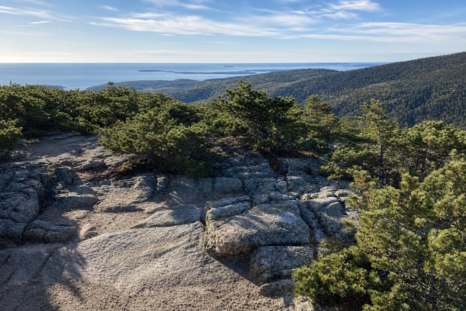 ChallengingDorr Mountain South Ridge Trail1.2 mi · 1.5 hr · 1 mi awayA steep ridge climb earns island views from Dorr's rocky summit.
 ChallengingPrecipice Trail2.1 mi · 2.5 hr · 1 mi awayIron rungs up an open cliff face, with Frenchman Bay below.
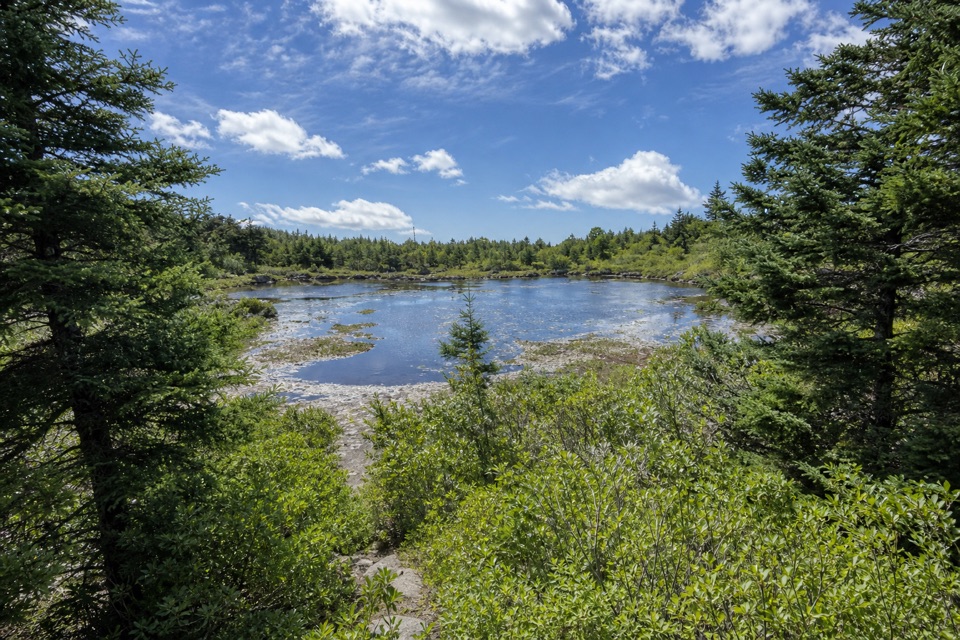 ModerateCanon Brook Trail2 mi · 1.5 hr · 1 mi awayA brook threads granite on this steep, two-mile one-way connector.
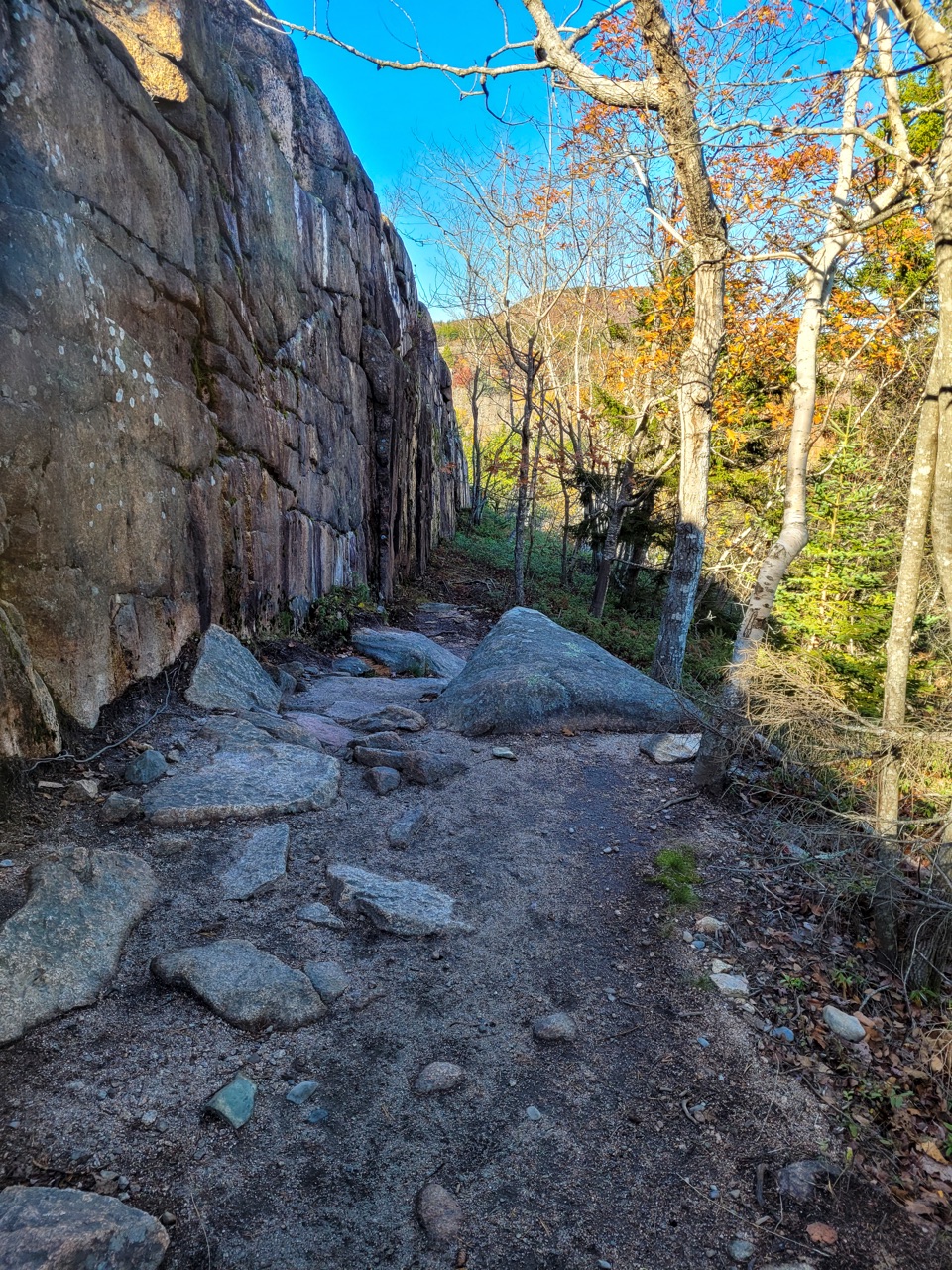 ModerateCadillac Cliffs Path0.3 mi · 21 min · 1.2 mi awayA quarter-mile of old stonework, sea cave, and steep granite steps.
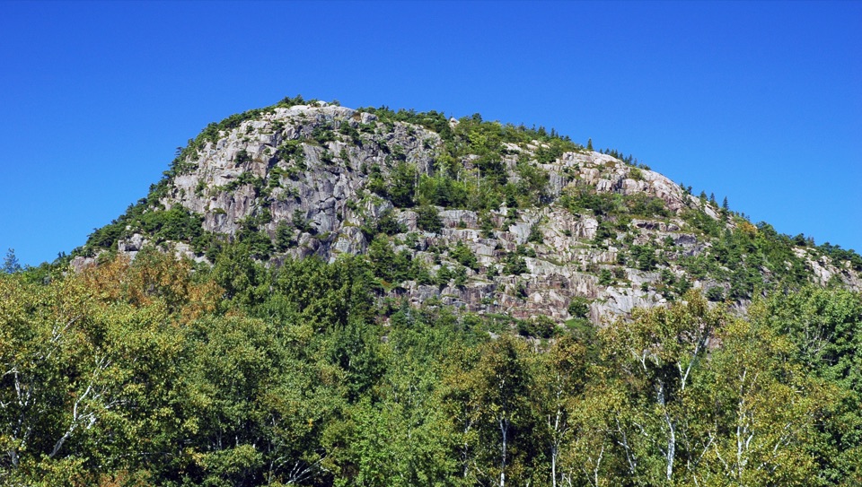 Sight · 0.3 mi awayThe BeehiveA sharp granite summit with a rewarding, exposed coastal view.
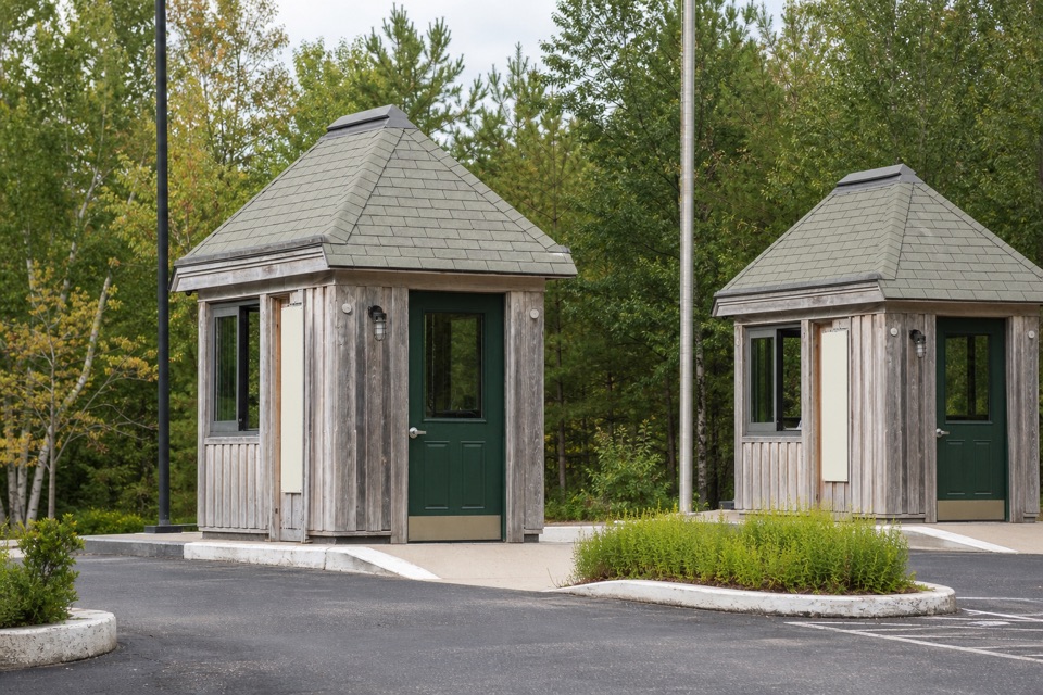 Entrance station · 0.5 mi awayPark Loop Road Entrance StationA year-round staffed stop for passes, maps, and park basics.
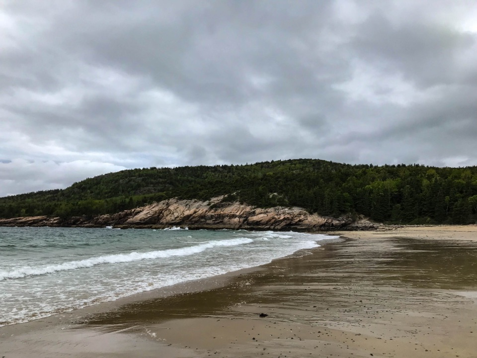 Beach · 0.7 mi awaySand BeachRare shell-rich sand under granite headlands.
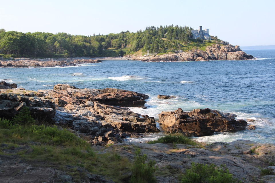 Scenic pullout · 0.8 mi awaySchooner Head OverlookA quick coastal stop facing a wooded headland and open water.
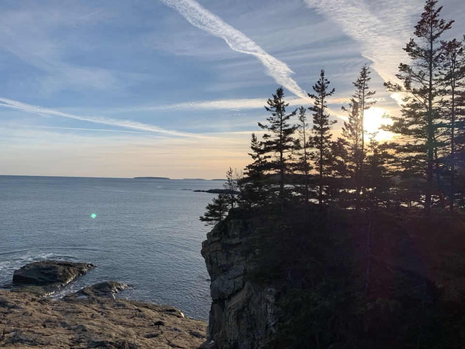 Sight · 1 mi awayGreat HeadCoastal ledges, a short loop, and the remains of an old teahouse.
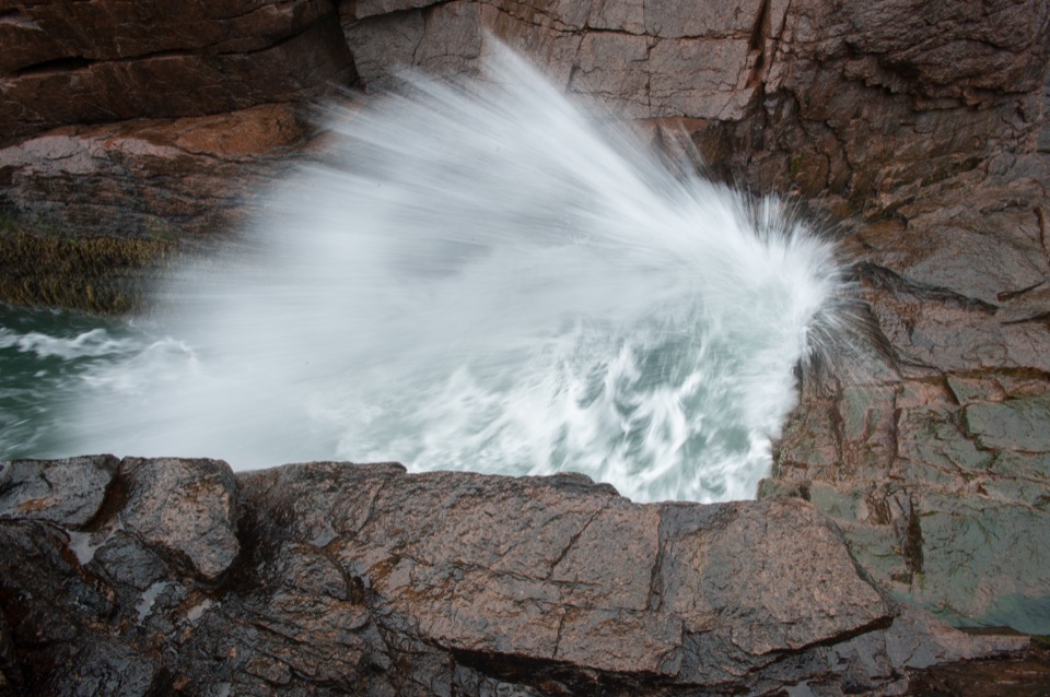 Sight · 1.1 mi awayThunder HoleThe boom is a bonus; the rocky coast earns the stop.
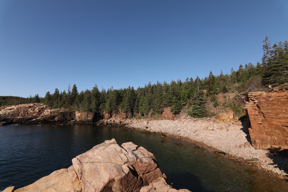 Sight · 1.3 mi awayMonument CoveA blocky pink-granite stack rising from a boulder-lined cove.
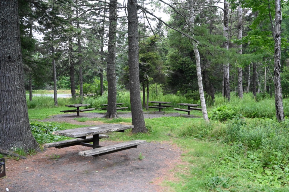 Picnic area · 1.5 mi awayFabbri Picnic Area and MemorialA quiet lunch stop with a small piece of Acadia’s radio history.
Parkwolf’s Acadia ranking

The audio tour guide for the drive, plus offline maps, trails, and wildlife heatmaps for when the signal drops.


