Parking
Roadside access on Route 3, roughly one mile south of Sieur de Monts Entrance.

Acadia National Park, ME
A brook threads granite on this steep, two-mile one-way connector.
Overview
Map & elevation
Plan your hike

The highest, rockiest slopes around here are a summer buffet for grizzly bears.
Acadia Tour Guide
Parkwolf is a GPS audio tour guide for Acadia National Park. As you drive, it chimes in with what’s ahead: hidden gems, upcoming stops, history, geology, and wildlife, right through your car’s speakers.
See the Acadia audio tourRecorded for this trailhead
Canon Brook’s Granite Cleft“Up ahead is the roadside start of Canon Brook Trail, a steep woodland climb to a brook running through a granite cleft.”
Plays as you drive up to this trailhead in the Parkwolf Acadia Tour Guide.
More stories near here in the app
“…As we drove through Acadia it gave us a tour, which was really cool. Lots of great info about the parks and how to avoid the crowds. It’s a great travel companion!”


Trail guide
Canon Brook Trail is a 2-mile point-to-point connector from roadside Route 3 to the Cadillac South Ridge Trail beside The Featherbed. Allow 1–2 hours for about 820 feet of gain on a fairly steep forest path. It is not a loop, so plan a continuation or return before setting out. One park listing gives 2.7 miles without a distance convention; the mapped corridor is 1.91 miles, matching the trail-specific two-mile one-way figure.
From the Route 3 access, the path heads west over small marshy ponds to a junction. Kane Path branches north toward The Tarn; stay with Canon Brook as it curves clockwise around Dorr Mountain’s south side, passing the Dorr South Ridge and A. Murray Young Path junctions. The route then climbs Cadillac’s south flank to The Featherbed. From there, Cadillac South Ridge continues north toward the summit, while Bubble-and-Jordan-Ponds Path heads west; both are separate trails.
The walk’s standout feature is a rock cleft where Canon Brook trickles through exposed granite. The trail climbs around the notch’s south side, opening a view northeast toward Dorr and Champlain mountains. From the open rock, frame the brook against the granite walls so the cleft’s scale comes through.
Canon Brook Path was among Acadia’s routes built between 1924 and 1930. Its first section was once known as the Tarn Trail, a name that reflects the northbound Kane Path junction near The Tarn.
Look for roadside parking on Route 3, roughly a mile south of Sieur de Monts Entrance. Expect a steep climb and uneven rock near the cleft. Dogs may accompany hikers on this route on a leash no longer than six feet; Acadia bars pets from ladder and rung trails.
Wildlife
 131 sightingsBald EagleMost seen around noonSighting map
 21 sightingsPeregrine FalconMost seen around 10 AMSighting map
 403 sightingsWhite-tailed DeerMost seen around 7 PMSighting map
 307 sightingsPorcupineMost seen around 7 PMSighting map
 205 sightingsBeaverMost seen around 7 PMSighting map
 34 sightingsMinkMost seen around 7 PMSighting map
Sighting maps show where each species has been reported across Acadia. Wildlife moves, so no sighting is guaranteed.
Keep exploring
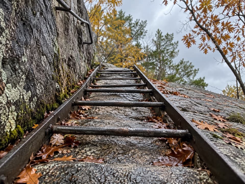 ChallengingLadder Trail0.4 mi · 45 min · 0.3 mi awayA short climb with ladders straight up Dorr's east face.
 ChallengingPrecipice Trail2.1 mi · 2.5 hr · 0.7 mi awayIron rungs up an open cliff face, with Frenchman Bay below.
 ChallengingBeachcroft Path2 mi · 2.5 hr · 0.7 mi awayA historic stone stairway climbs to Champlain’s open granite summit.
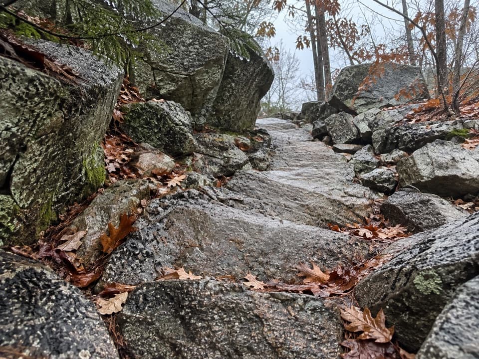 ChallengingKurt Diederichs Climb0.8 mi · 54 min · 0.8 mi awayA steep memorial stairway with a carved name and Tarn views.
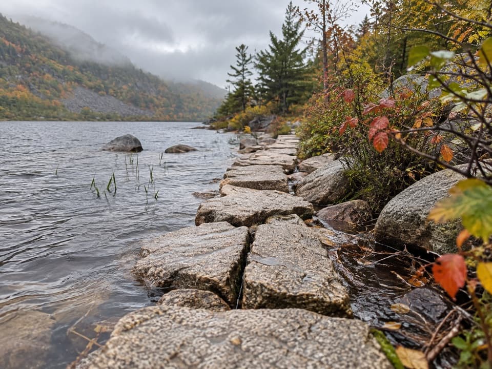 EasyKane Path0.9 mi · 30 min · 0.8 mi awayA short stone path skims the Tarn, then slips into the woods.
 ChallengingDorr Mountain South Ridge Trail1.2 mi · 1.5 hr · 0.8 mi awayA steep ridge climb earns island views from Dorr's rocky summit.
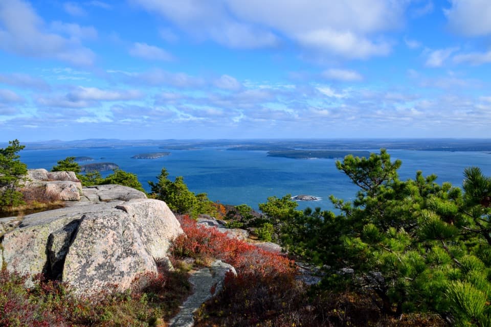 ModerateChamplain South Ridge Trail1.6 mi · 3 hr · 1 mi awayA granite ridge climbs from The Bowl to broad coastal views.
 ChallengingAndrew Murray Young Path1.3 mi · 1.5 hr · 1 mi awayA rugged ravine path with island views and a stone memorial.
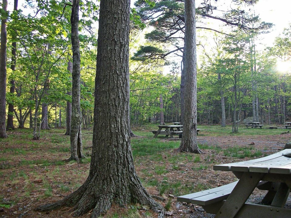 Picnic area · 0.8 mi awayBear Brook Picnic AreaA wooded lunch stop with grill-ready pits and accessible toilets.
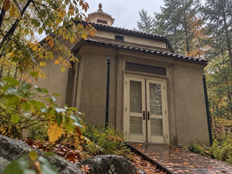 Sight · 0.9 mi awayAbbe Museum at Sieur de Monts SpringThe Abbe’s original 1928 museum, tucked into the Sieur de Monts woods.
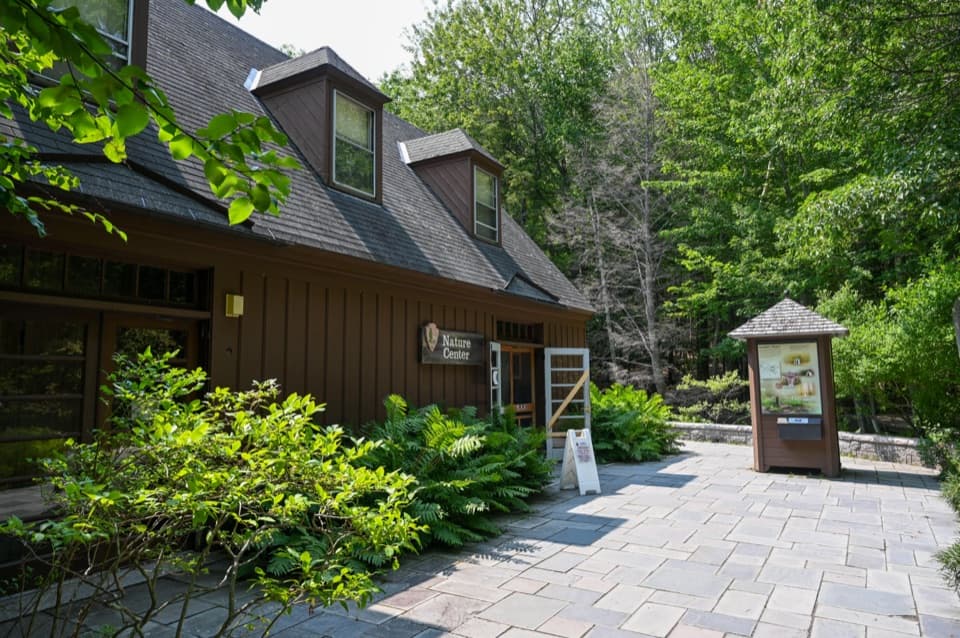 Visitor center · 1 mi awaySieur de Monts Nature CenterA smart first stop for Acadia’s trail choices and natural history.
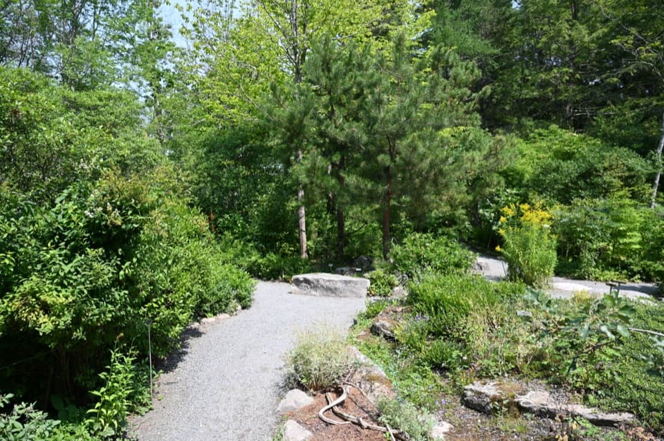 Sight · 1 mi awayWild Gardens of AcadiaA compact, labeled tour through native plant habitats.
 Entrance station · 1.1 mi awayPark Loop Road Entrance StationA year-round staffed stop for passes, maps, and park basics.
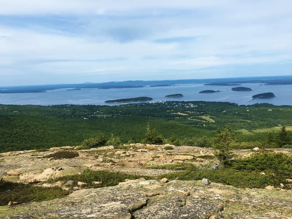 Sight · 1.2 mi awayCadillac MountainA short summit walk opens onto an island-and-ocean panorama.
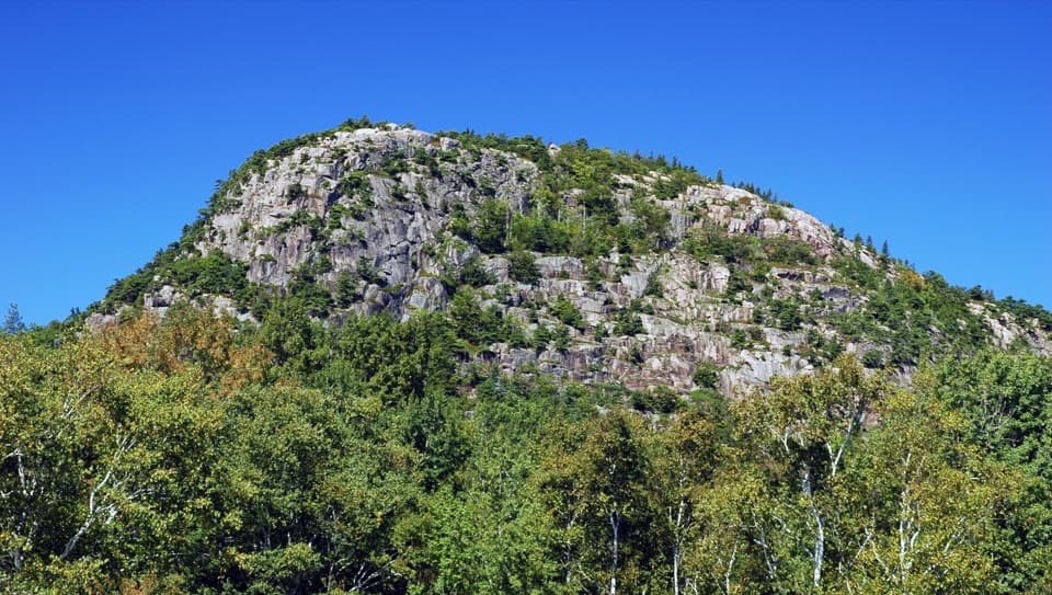 Sight · 1.2 mi awayThe BeehiveA sharp granite summit with a rewarding, exposed coastal view.
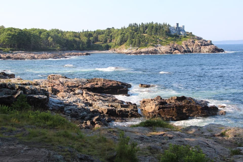 Scenic pullout · 1.4 mi awaySchooner Head OverlookA quick coastal stop facing a wooded headland and open water.
Parkwolf’s Acadia ranking

The audio tour guide for the drive, plus offline maps, trails, and wildlife heatmaps for when the signal drops.




