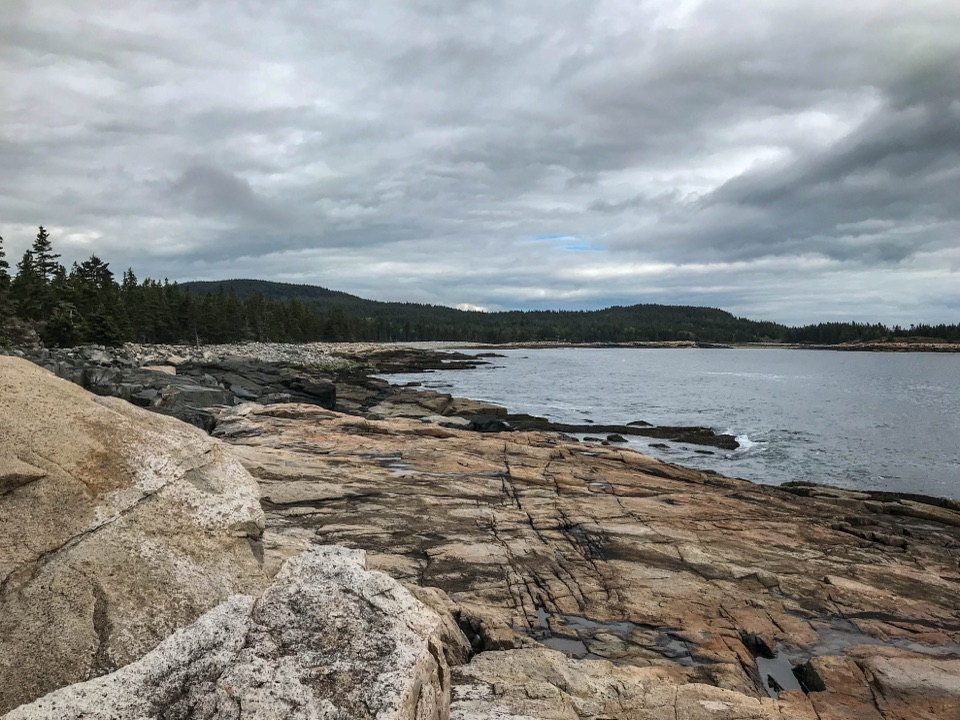
The Beehive in Acadia National Park

#10 of 54 sights in Acadia

Sight · Acadia National Park

The Beehive

A sharp granite summit with a rewarding, exposed coastal view.

Photo: Wikimedia Commons
Type
Sight
Nearest trail
0.2 mi
Audio stories
17 nearby
  • Trailhead
  • Parking
  • Restrooms
  • Scenic viewpoint

Hear the audio tour

The Beehive’s Rung Climb

Overview

About The Beehive

Why stop

  • A memorable coastal panorama from a compact summit

Heads up

  • Exposed rungs and narrow ledges make the climb a poor fit for many hikers

Map

Where it is

Loading the Acadia map
Full map
SightThe Beehive44.33373, -68.18807
Keep this map with you offline in the Parkwolf app

Plan your stop

Before you go

4 active Acadia alerts

  • CautionAvoid water contact at Sand Beach LagoonDo not swim at Sand Beach Lagoon. - Bacterial levels have exceeded public-health standards, so the NPS has posted a Public Health Advisory.Official details
  • ClosureSchoodic Mountain Road closed for repairsSchoodic Mountain Road is closed from Schoodic Loop Road to the summit of Schoodic Head. - The closure began August 31 for resurfacing, regrading, and ditching.Official details
See all 4 alerts
A park ranger sits on a dash-mounted phone, talking, as Parkwolf’s Tour Guide plays “Army Cutworm Moths: A Grizzly Bear Buffet” on Grand Loop Road below Dunraven Pass in Yellowstone
Parkwolf Tour GuideThe highest, rockiest slopes around here are a summer buffet for grizzly bears.

Acadia Tour Guide

Your drive to The Beehive, narrated.

Parkwolf is a GPS audio tour guide for Acadia National Park. As you drive, it chimes in with what’s ahead: hidden gems, upcoming stops, history, geology, and wildlife, right through your car’s speakers.

Recorded for this place

The Beehive’s Rung Climb
0:00 / 0:30
“The Beehive trailhead is coming up, for an iron-rung climb to views over Sand Beach and the sea. The one point four mile loop takes about two hours, with scrambling and steep drops without railings.”

Plays as you drive up to The Beehive in the Parkwolf Acadia Tour Guide.

More stories near here in the app

  • Sand Beach’s Shell-Rich Shore
  • Schooner Head Overlook and the Shore Below
  • Keeping the Alewife's Route Open
  • Thunder Hole’s Unpredictable Boom
  • 116 audio storiesacross Acadia’s roads, triggered by GPS as you drive
  • Wildlife heatmapsfor Bald Eagle, Peregrine Falcon, White-tailed Deer, and 13 more
  • Works offlinemaps, 142 trails, 72 places, and audio download before you lose signal
  • CarPlay readysimple controls built for the drive
★★★★★
“…As we drove through Acadia it gave us a tour, which was really cool. Lots of great info about the parks and how to avoid the crowds. It’s a great travel companion!”
MyMysteryChicaApp Store review
Download Parkwolf on the App StoreGet Parkwolf on Google Play

4.7 from 8,600+ ratings

Guide

More about The Beehive

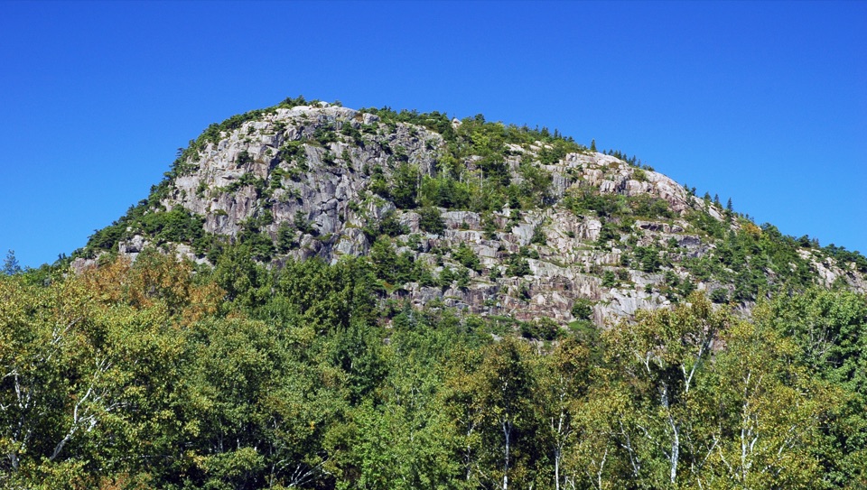
A distinct peak above Sand BeachThe Beehive is a 520-foot granite peak above Sand Beach, known for its rounded glacial shape…

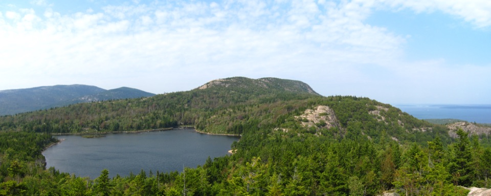
The Beehive is a 520-foot granite peak above Sand Beach, known for its rounded glacial shape and the exposed route up its south face. You can pick out the ridge from Sand Beach or Park Loop Road; reaching the summit means a 1.4-mile loop with ladders and iron rungs. I'd choose the climb if heights and exposed scrambling are comfortable. The view from the beach is a good alternative.

Know what the climb asks of youFrom the Sand Beach parking area, cross Park Loop Road at the marked crosswalk and follow the…

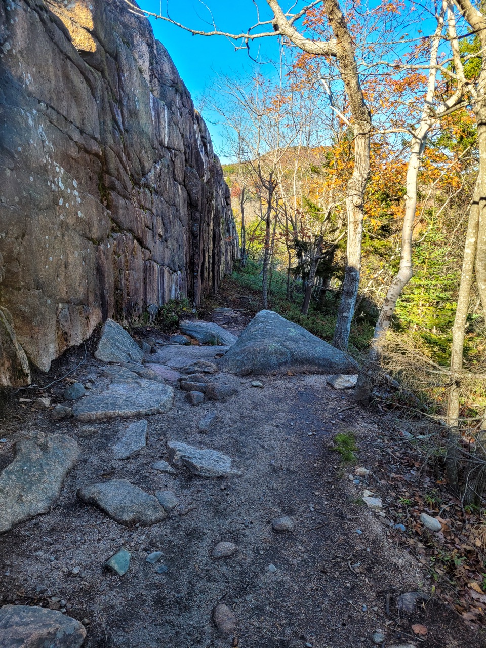
From the Sand Beach parking area, cross Park Loop Road at the marked crosswalk and follow the Bowl Trail to the Beehive Loop. The climb gains a 450-foot cliff on granite steps, scrambles, iron rungs and ladders, with steep drops and no railings. The loop takes about one to three hours. Continue over the summit and descend toward the Bowl, a small pond between the Beehive and Champlain Mountain; the park advises against descending the rungs and ladders. Wet granite gets extremely slippery, so save the exposed route for dry rock. Dogs aren't allowed on Acadia's rung-and-ladder trails. The trail isn't accessible, though accessible parking and restrooms are available at Sand Beach. Summer brings parking congestion and waits at narrow sections; an early start can help.

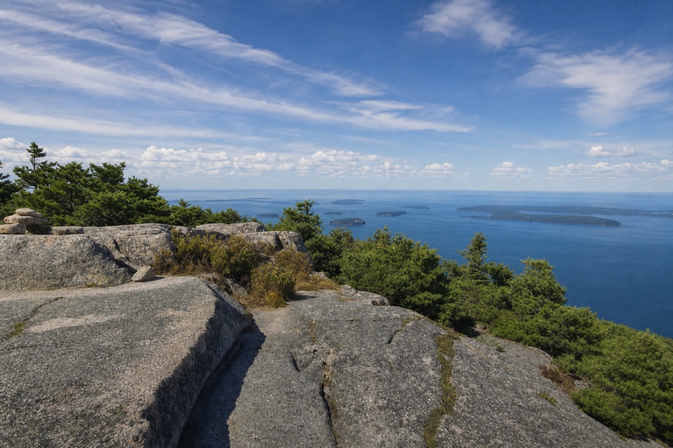
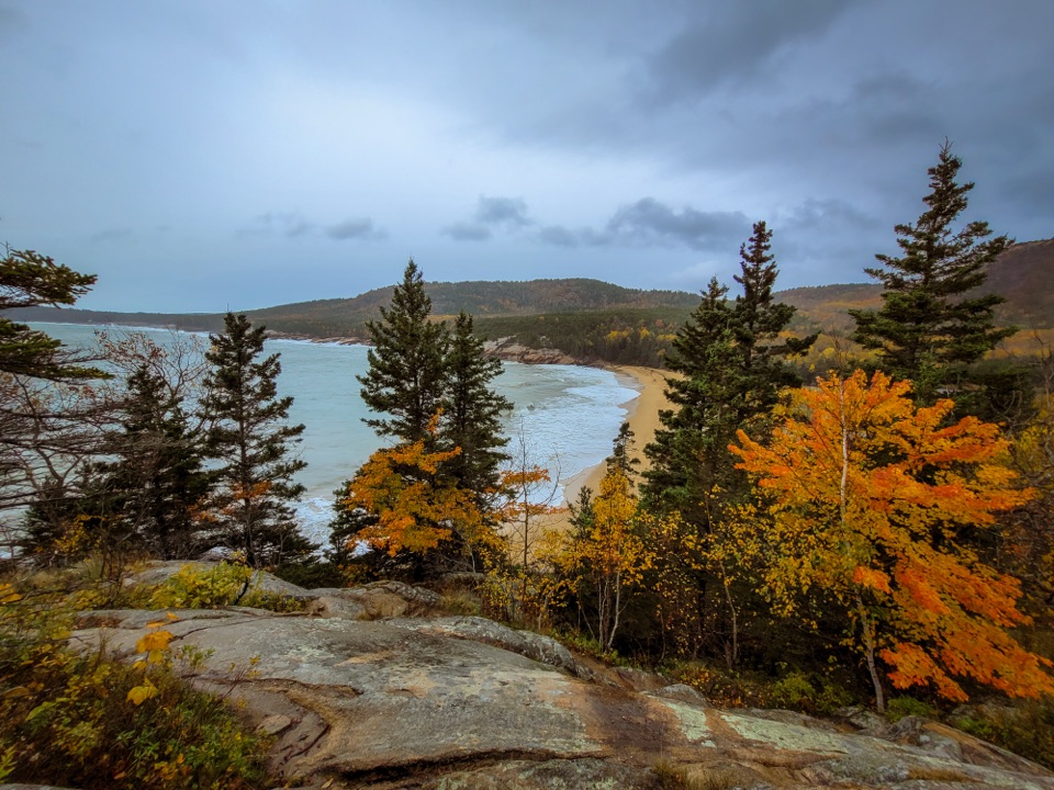
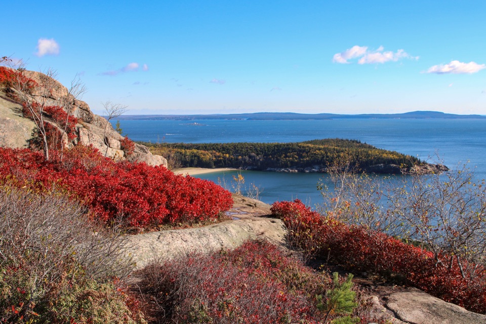
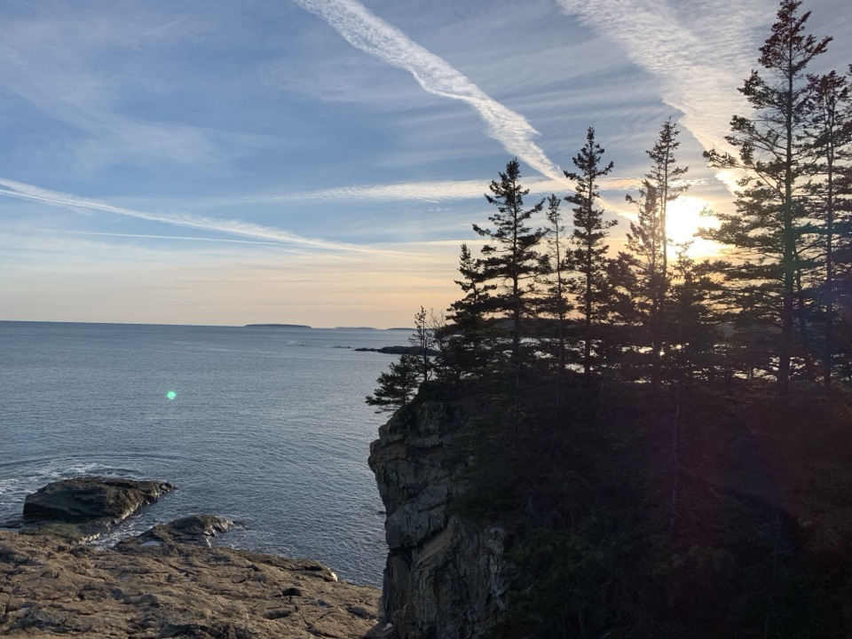
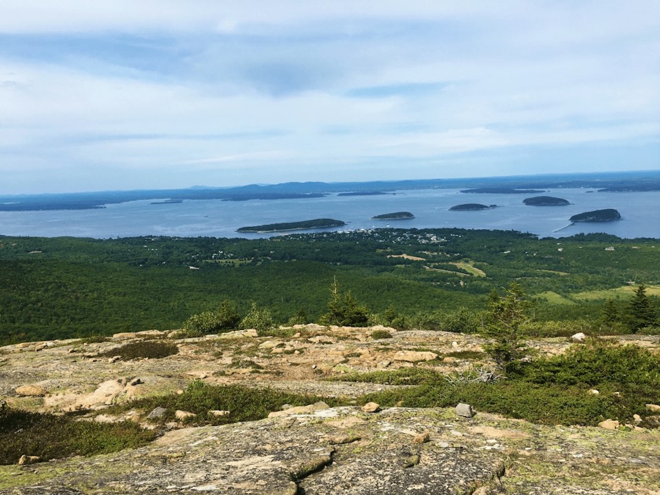
Look out over the coastFrom the summit, the view opens over Sand Beach, Thunder Hole and the Gulf of Maine.

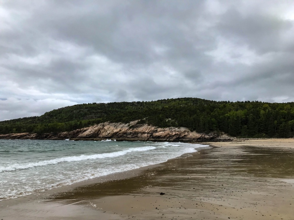
From the summit, the view opens over Sand Beach, Thunder Hole and the Gulf of Maine. The classic lower view is from Sand Beach, where you can frame the whole dome and its steep south face without climbing the rungs. It's a useful way to understand the Beehive's shape, and a good choice if exposure isn't for you.

Ice carved the two sides differentlyThe Beehive is a roche moutonnée, an asymmetric rock hill shaped by a glacier.

The Beehive is a roche moutonnée, an asymmetric rock hill shaped by a glacier. Ice moved across it from north to south, smoothing the gentler north side. Beyond the crest, pressure eased and meltwater refroze in cracks, helping break rock from the steeper south face. Acadia's South Bubble and the Porcupine Islands show the same kind of glacial shaping.

A geologic term with a 1786 originSwiss geologist Horace-Bénédict de Saussure coined roche moutonnée during Alpine explorations…

Swiss geologist Horace-Bénédict de Saussure coined roche moutonnée during Alpine explorations in 1786. The French phrase is usually explained as a sheep-backed rock, but the word may also have recalled the high, swept-up wigs popular at the time.

Part of Acadia's old rung-trail traditionStone stairs and iron ladders are a distinctive part of Acadia's older cliff-trail system.

Stone stairs and iron ladders are a distinctive part of Acadia's older cliff-trail system. Bar Harbor trail-builder Waldron Bates helped introduce them on steep cliffs and talus slopes while leading the village roads and paths committee from 1900 to 1909. The specific installation date for the Beehive's own rungs isn't established.

Wildlife

Wildlife in Acadia

All Acadia wildlife maps

Sighting maps show where each species has been reported across Acadia. Wildlife moves, so no sighting is guaranteed.

Keep exploring

Near The Beehive

See it all on the map

Trails nearby

More stops nearby

Parkwolf’s Acadia ranking

Top sights in Acadia

All 72 places
  1. 1Cadillac MountainSight
  2. 2Jordan PondSight
  3. 3Sand BeachBeach
  4. 4Thunder HoleSight
  5. 5Bass Harbor Head Light StationSight
  6. 6Schoodic PointSight

Take Parkwolf to Acadia.

The audio tour guide for the drive, plus offline maps, trails, and wildlife heatmaps for when the signal drops.

4.7 from 8,600+ ratings

Download Parkwolf on the App StoreGet Parkwolf on Google Play