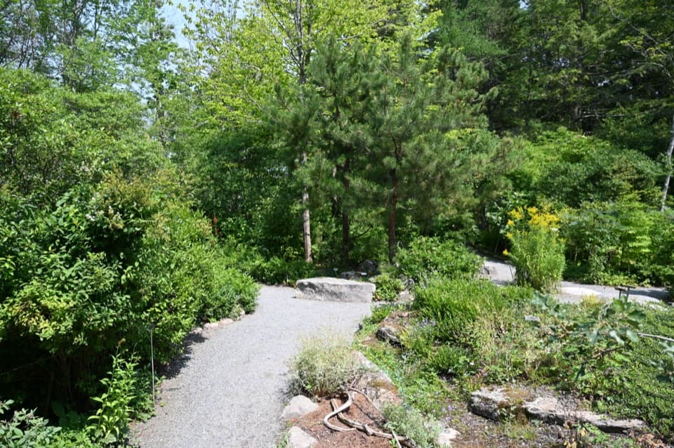
Dorr Mountain South Ridge Trail in Acadia National Park

Acadia National Park, ME

Dorr Mountain South Ridge Trail

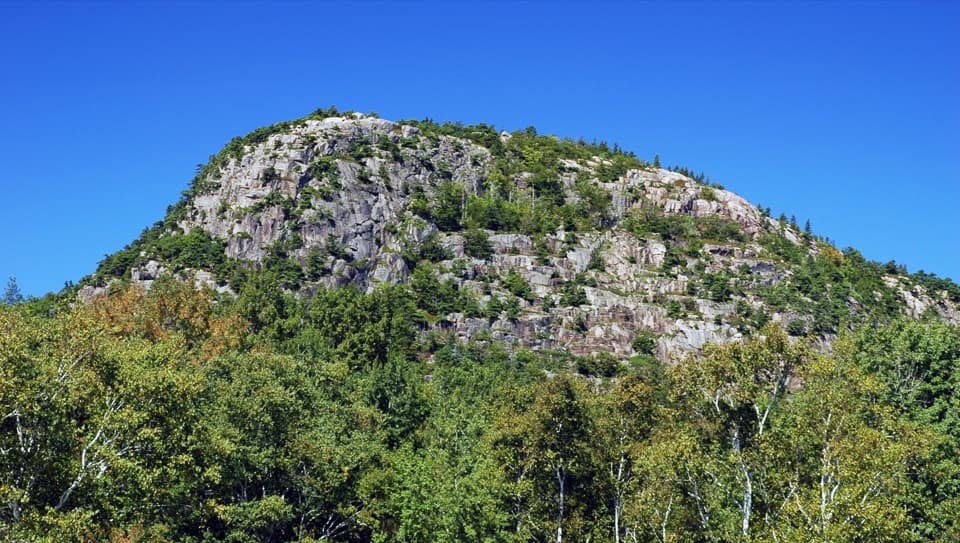
A steep ridge climb earns island views from Dorr's rocky summit.

Length
1.2mi
Time
1.5hr
Elev. change
997ft
Difficulty
Challenging
  • Dogs allowed
  • High point 1,240 ft
  • #45 of 142 in Acadia

Hear the audio tour

Canon Brook’s Granite Cleft

Overview

About Dorr Mountain South Ridge Trail

Why go

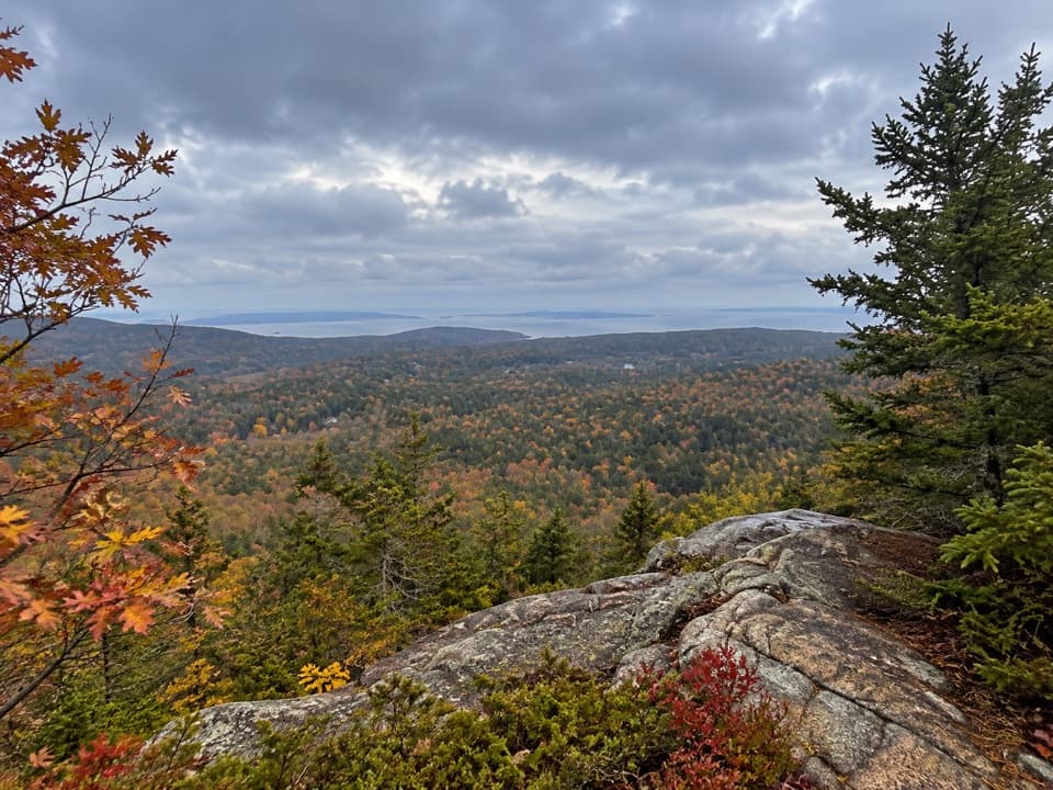
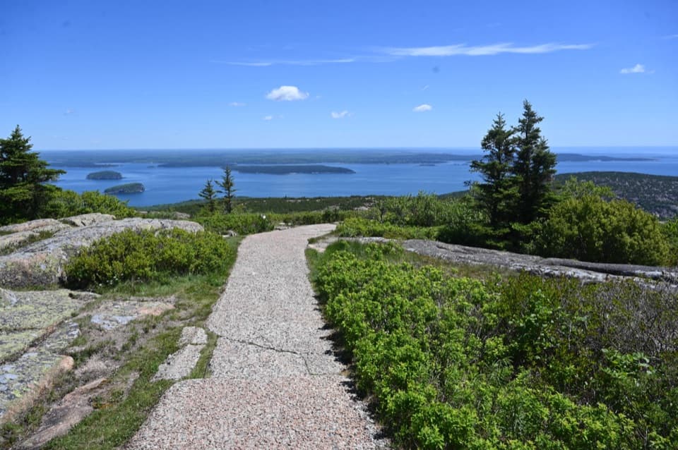
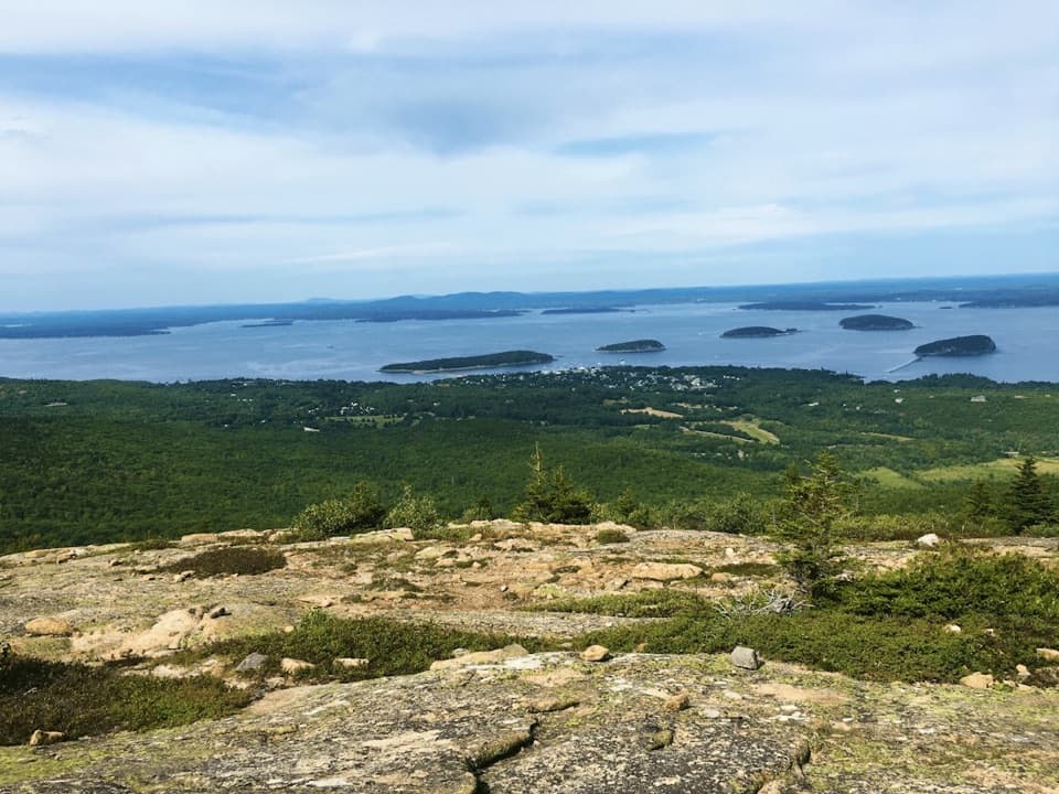
  • Open summit views east to the offshore islands and northeast to Bar Harbor.

Heads up

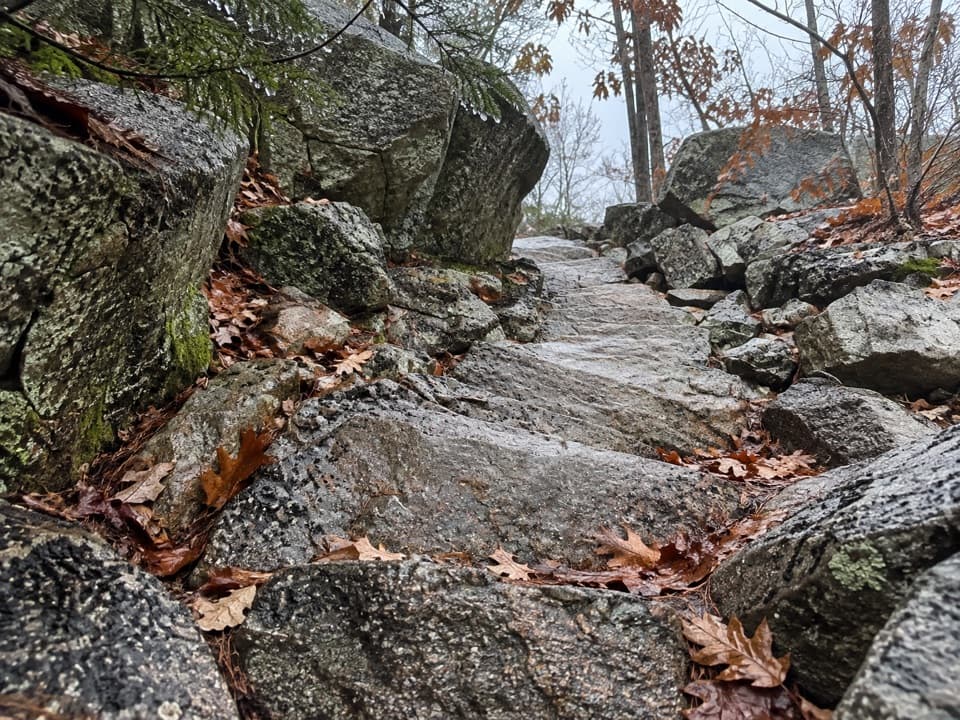
  • About 1,000 feet of climbing over a short, rocky segment.

Map & elevation

The route

Loading the Acadia map
Full map
Elevation243–1,240 ft
TrailheadCanon Brook Trail junction at the south end of South Ridge Trail44.33909, -68.21115
Keep this map with you offline in the Parkwolf app

Plan your hike

Before you go

Parking

Use the Ladder Trailhead parking off ME Route 3, on the right just south of The Tarn and the Sieur de Monts Entrance. The Canon Brook junction is reached by the connected trail network; the parking area is not at the South Ridge segment’s southern end.

Safety

The South Ridge gains about 1,000 feet in roughly 1.2 miles over uneven rock. The separate Ladder Trail to Dorr has steep sections and iron rungs that can be slippery when wet; pets are prohibited there. A park entrance pass is required year-round.

3 active Acadia alerts

  • ClosureSouthern Ocean Path section closed for repairsThe southern section of Ocean Path is closed for repairs from the trailhead across from the Otter Point parking lot to the trail’s southern terminus.Official details
  • ClosureSchoodic Mountain Road closed for repairsSchoodic Mountain Road is closed for repairs from Schoodic Loop Road to the summit of Schoodic Head.Official details
See all 3 alerts
A park ranger sits on a dash-mounted phone, talking, as Parkwolf’s Tour Guide plays “Army Cutworm Moths: A Grizzly Bear Buffet” on Grand Loop Road below Dunraven Pass in Yellowstone
Parkwolf Tour GuideThe highest, rockiest slopes around here are a summer buffet for grizzly bears.

Acadia Tour Guide

Your drive to Dorr Mountain South Ridge Trail, narrated.

Parkwolf is a GPS audio tour guide for Acadia National Park. As you drive, it chimes in with what’s ahead: hidden gems, upcoming stops, history, geology, and wildlife, right through your car’s speakers.

See the Acadia audio tour

Recorded for this trailhead

Canon Brook’s Granite Cleft
0:00 / 0:23
“Up ahead is the roadside start of Canon Brook Trail, a steep woodland climb to a brook running through a granite cleft.”

Plays as you drive up to this trailhead in the Parkwolf Acadia Tour Guide.

More stories near here in the app

  • The Eider's Down-Lined Nest
  • Keeping the Alewife's Route Open
  • Dorr Mountain’s Ladder Trail
  • Cadillac Mountain Summit
  • 116 audio storiesacross Acadia’s roads, triggered by GPS as you drive
  • Wildlife heatmapsfor Bald Eagle, Peregrine Falcon, White-tailed Deer, and 13 more
  • Works offlinemaps, 142 trails, 72 places, and audio download before you lose signal
  • CarPlay readysimple controls built for the drive
★★★★★
“…As we drove through Acadia it gave us a tour, which was really cool. Lots of great info about the parks and how to avoid the crowds. It’s a great travel companion!”
MyMysteryChicaApp Store review
Download Parkwolf on the App StoreGet Parkwolf on Google Play

4.7 from 8,600+ ratings

Trail guide

Hiking Dorr Mountain South Ridge Trail

A short, steep climbDorr Mountain South Ridge Trail is a 1.

Dorr Mountain South Ridge Trail is a 1.2-mile point-to-point climb from the Canon Brook junction on the mountain’s south side to its 1,270-foot summit. It gains about 1,000 feet in a short distance; allow 1–2 hours for this leg. This is a hard summit approach, not a gentle stroll.

The ridge and summitThe trail alternates forest with open rocky patches, so expect uneven granite underfoot and a…

The trail alternates forest with open rocky patches, so expect uneven granite underfoot and a sustained climb. At the top, look east over the water and outer islands, and northeast toward Bar Harbor. South Ridge meets the North Ridge, Schiff Path, and Gorge Path near the summit; check the junction before continuing onto another route. The open rock makes a good foreground for the island view.

How it fits into a hikeThis named segment is not a loop by itself. A common 3.

This named segment is not a loop by itself. A common 3.2-mile round-trip circuit starts at the Ladder Trailhead, climbs by Ladder and Schiff, descends this ridge for about 1.2 miles, then returns by Canon Brook. The line here covers the South Ridge leg only. To climb it from the south, reach its Canon Brook junction on the connected paths; the junction is a trail access, not a parking lot.

Access and dogsThe Ladder Trailhead parking is off ME Route 3 just south of The Tarn and the Sieur de Monts…

The Ladder Trailhead parking is off ME Route 3 just south of The Tarn and the Sieur de Monts Entrance. Pets are allowed on South Ridge when leashed no longer than six feet, but they cannot use the Ladder Trail to Dorr, so the common circuit is not a dog route. A park entrance pass is required year-round.

The name on the mountainDorr recalls George Bucknam Dorr, the preservationist who helped establish Acadia and became…

Dorr recalls George Bucknam Dorr, the preservationist who helped establish Acadia and became its first superintendent. The trail reaches his namesake summit by a different side of the mountain from the steep Ladder approach.

Wildlife

Wildlife in Acadia

All Acadia wildlife maps

Sighting maps show where each species has been reported across Acadia. Wildlife moves, so no sighting is guaranteed.

Keep exploring

Near Dorr Mountain South Ridge Trail

See it all on the map

Trails that start nearby

Places near the trailhead

Parkwolf’s Acadia ranking

Top-rated trails in Acadia

All 142 trails
  1. 1Beehive Loop TrailChallenging · 1.4 mi
  2. 2Precipice TrailChallenging · 2.1 mi
  3. 3Jordan Pond PathModerate · 3.3 mi
  4. 4Bubbles TrailModerate · 1.5 mi
  5. 5Ocean PathEasy · 2.2 mi
  6. 6Cadillac Mountain South Ridge TrailChallenging · 7.8 mi

Take Parkwolf to Acadia.

The audio tour guide for the drive, plus offline maps, trails, and wildlife heatmaps for when the signal drops.

4.7 from 8,600+ ratings

Download Parkwolf on the App StoreGet Parkwolf on Google Play