Parking
Start at the north end of Bubble Pond, reached from the small lot on Park Loop Road. Parking is very limited. A seasonal, fare-free Island Explorer stop serves the lot when buses are operating. Acadia entrance pass required.
Acadia National Park, ME
A steep forest climb ends at a three-pond, ocean-facing summit.
Overview
Map & elevation
Plan your hike

The highest, rockiest slopes around here are a summer buffet for grizzly bears.
Acadia Tour Guide
Parkwolf is a GPS audio tour guide for Acadia National Park. As you drive, it chimes in with what’s ahead: hidden gems, upcoming stops, history, geology, and wildlife, right through your car’s speakers.
Recorded for this trailhead
Bubble Pond and Its Rustic Bridge“Bubble Pond is coming up, and for an easy stop I'd take the gravel carriage road along its western shore.”
Plays as you drive up to this trailhead in the Parkwolf Acadia Tour Guide.
More stories near here in the app
“…As we drove through Acadia it gave us a tour, which was really cool. Lots of great info about the parks and how to avoid the crowds. It’s a great travel companion!”


Trail guide
Pemetic North Ridge Trail climbs from the north end of Bubble Pond to Pemetic Mountain, one of Mount Desert Island’s central peaks. The mapped summit-and-back walk is about 2.6 miles, with roughly 900 feet of climbing over a 1.3-mile ascent each way; allow 2 to 3 hours. The named 1.1-mile North Ridge segment reaches the Pemetic Northwest junction just short of the high point. This route continues along the short shared ridge to the summit, then returns the same way. That final approach is why the complete walk is longer than the named segment alone. It is an out-and-back, not a loop, and the payoff is concentrated at the top.
From the Bubble Pond north access, the trail quickly enters a pine forest and climbs steadily over exposed roots and rough, uneven rock. The grade is sustained rather than broken up by a long level traverse, and some rocky sections run near cliffs. Trees block most broad views along the climb, so expect a focused uphill walk before the landscape opens. Near the top, the North Ridge meets Pemetic Northwest; continue along the ridge connection to the mountain’s high point instead of turning down another route. The return follows the same rough ground, where the rocky footing takes as much attention downhill as it does on the climb.
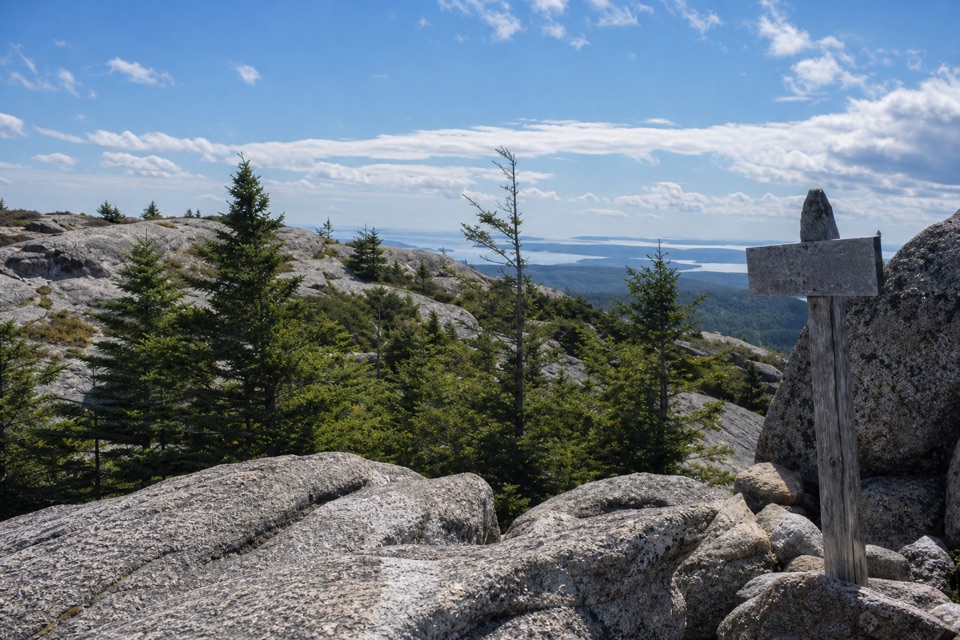
The forest thins onto an open granite top at about 1,250 feet. From here, Jordan Pond, Eagle Lake and Bubble Pond sit among the nearby peaks; the panorama also reaches across the bay and ocean to Mount Desert Island’s outer islands. Cadillac, Sargent and Penobscot are among the recognizable mountains on the horizon. For a photo, keep a strip of summit granite or a pine in the foreground and include water and the distant islands behind it; a horizon-only shot loses the sense of height and place.
North Ridge is a direct northern ascent with a wooded approach and one broad summit payoff. The Northwest route is a separate, steeper scramble, while the longer Pemetic circuit from Jordan Pond combines the Northwest and South ridges. Choose one of those if you want a loop or a different climb; they do not form part of this out-and-back. The North Ridge suits hikers looking for a short, strenuous mountain climb, not someone seeking an easy pondside walk or frequent viewpoints.
Use the small Bubble Pond parking area along Park Loop Road; spaces are very limited. A seasonal, fare-free Island Explorer stop serves the lot when buses are operating, and can be a useful alternative to parking. Acadia requires an entrance pass. No drinking water or food service was confirmed at this access, so arrive with what you need for the climb. Dogs are allowed on this route but must stay on a leash no longer than six feet; the steep, rocky tread can be difficult for dogs as well as people.
Wildlife
 130 sightingsBald EagleMost seen around noonSighting map
 21 sightingsPeregrine FalconMost seen around 10 AMSighting map
 396 sightingsWhite-tailed DeerMost seen around 7 PMSighting map
 305 sightingsPorcupineMost seen around 7 PMSighting map
 201 sightingsBeaverMost seen around 7 PMSighting map
 34 sightingsMinkMost seen around 7 PMSighting map
Sighting maps show where each species has been reported across Acadia. Wildlife moves, so no sighting is guaranteed.
Keep exploring
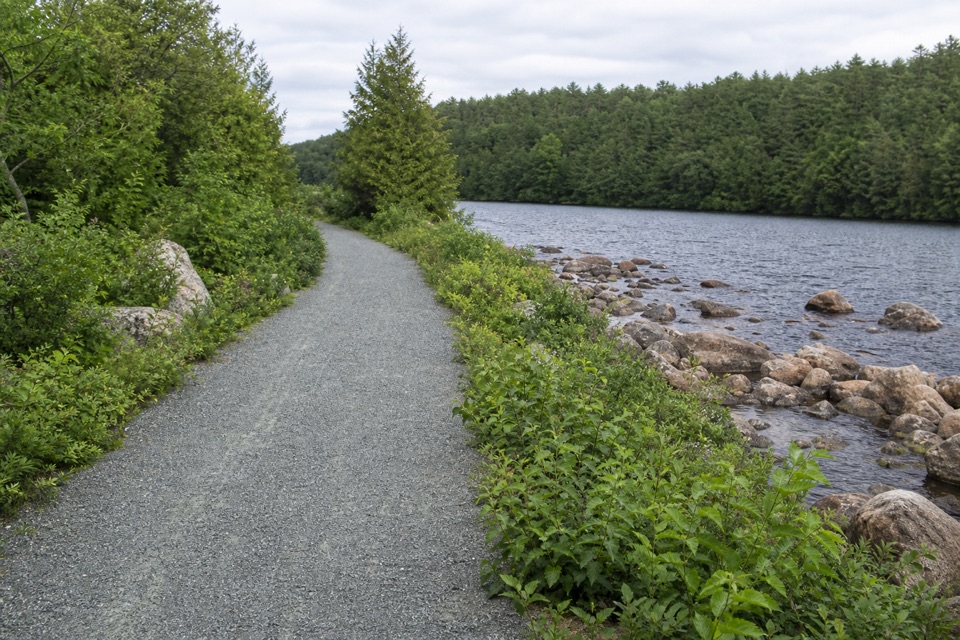 EasyBubble Pond Shore Walk1.3 mi · 42 min · At the trailheadA mellow gravel walk follows the pond toward Cadillac’s western face.
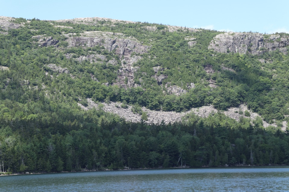 ChallengingCadillac West Face Trail0.9 mi · 1.8 hr · At the trailheadScramble up granite ledges for views over Bubble Pond.
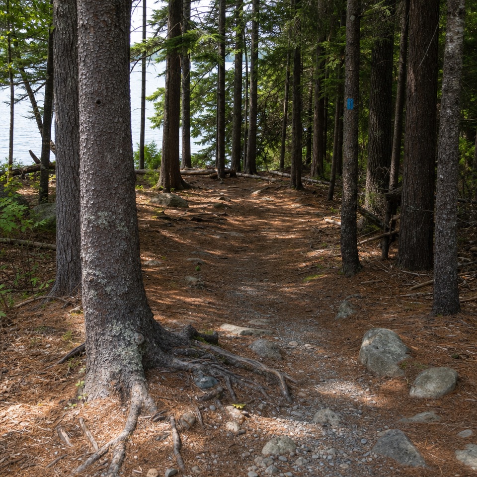 ModerateEagle Lake Trail1.7 mi · 1 hr · 0.3 mi awayA rocky, rooty path along Eagle Lake’s wooded south shore.
 ModerateBubbles Trail1.5 mi · 1.3 hr · 0.8 mi awayTwo summits and a perched glacial boulder in 90 minutes.
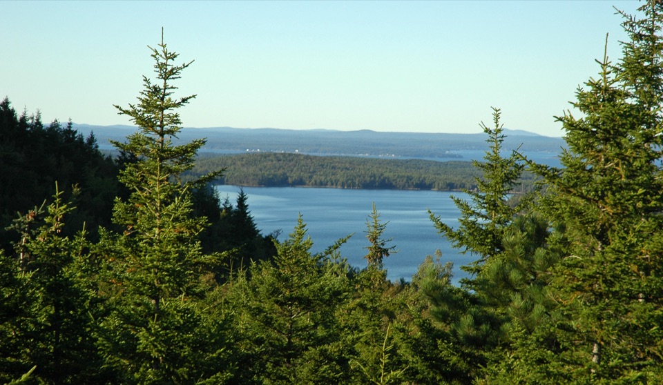 ModerateBubbles Nubble Loop3.5 mi · 2.5 hr · 0.8 mi awayThree summits, two lakes, and one boulder left by the ice.
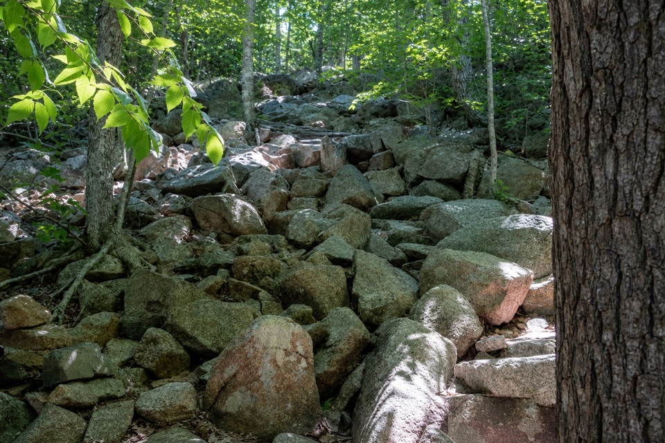 ChallengingPemetic Northwest Trail1.2 mi · 1.8 hr · 0.8 mi awayA short, steep granite scramble to Pemetic's open summit.
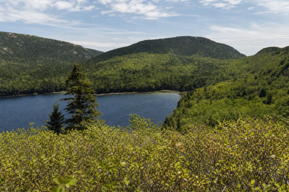 ModerateConners Nubble Trail0.3 mi · 30 min · 0.9 mi awayA short granite climb to an open Eagle Lake view.
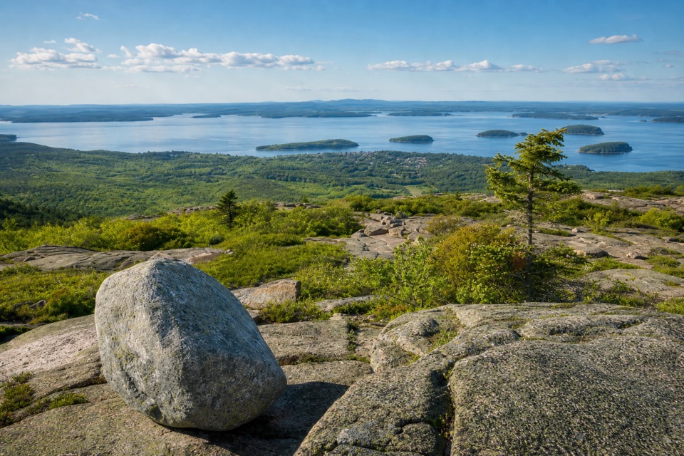 EasyCadillac Summit Loop Trail0.4 mi · 20 min · 0.9 mi awayGranite underfoot, island-dotted water in every direction.
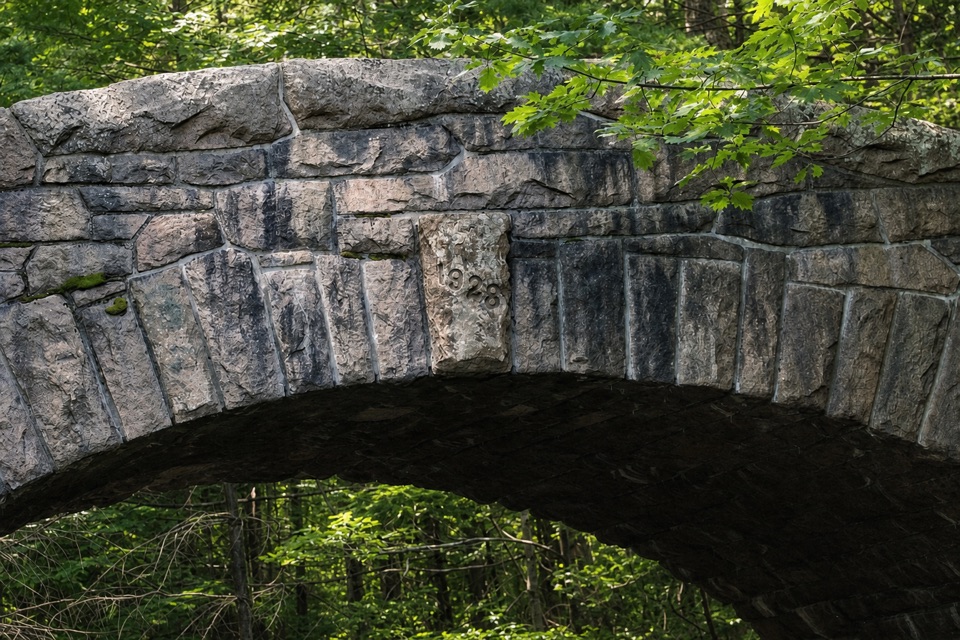 Sight · At the trailheadBubble Pond BridgeA stone arch that survived two rejected designs.
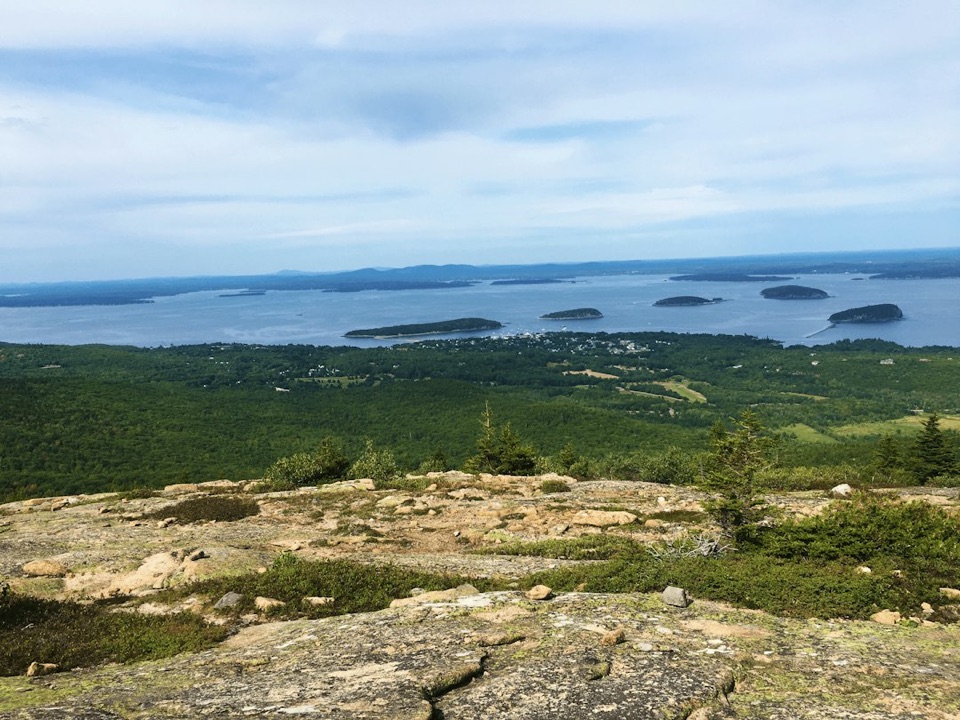 Sight · 0.8 mi awayCadillac MountainA short summit walk opens onto an island-and-ocean panorama.
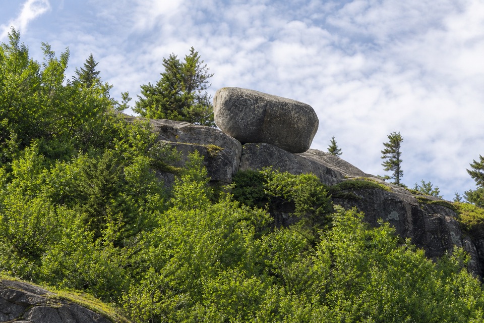 Sight · 0.9 mi awayBubble RockA hundred-ton erratic balanced on South Bubble’s summit ledge
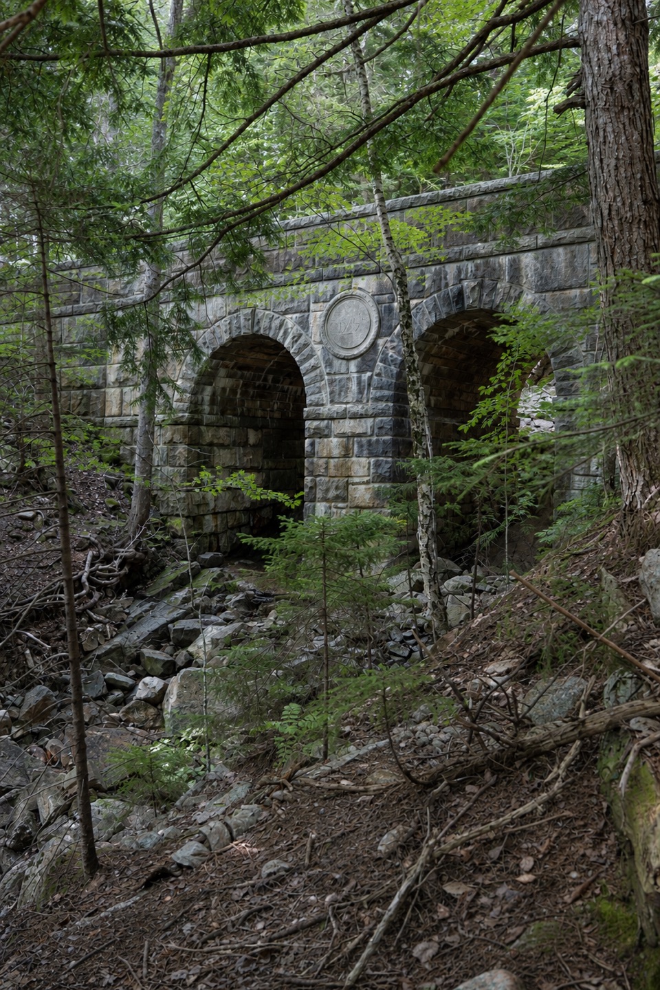 Sight · 1.2 mi awayDeer Brook BridgeTake a carriage-road detour for twin arches and a 1925 medallion.
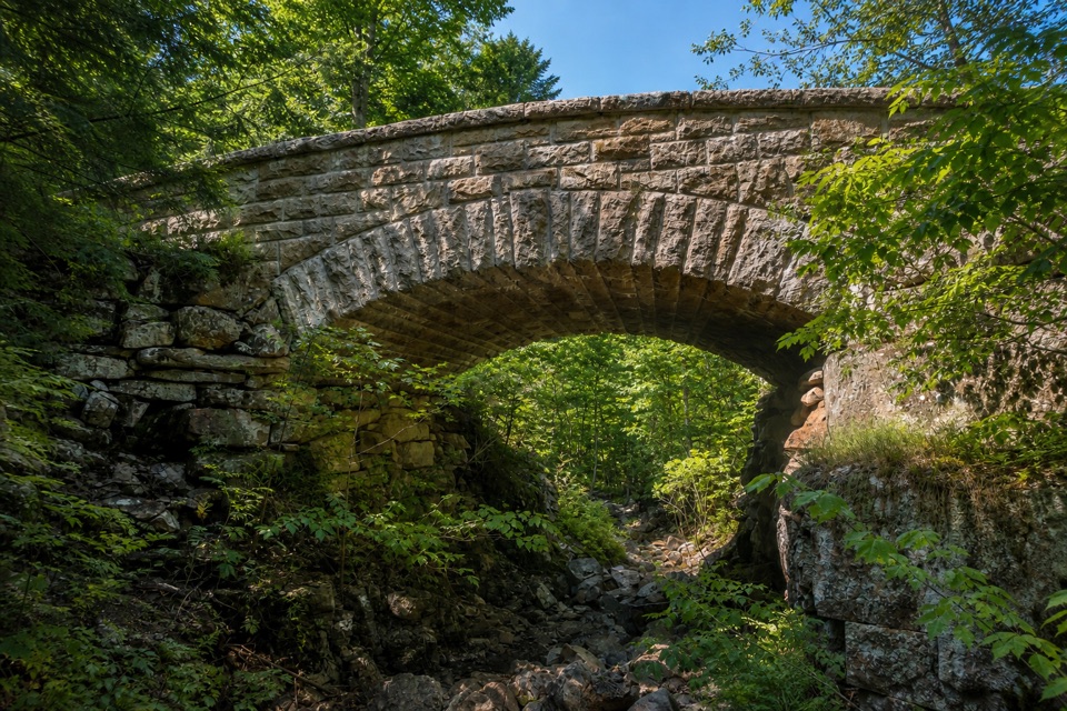 Sight · 1.7 mi awayChasm Brook BridgeA granite arch tucked above a rocky, wooded gorge.
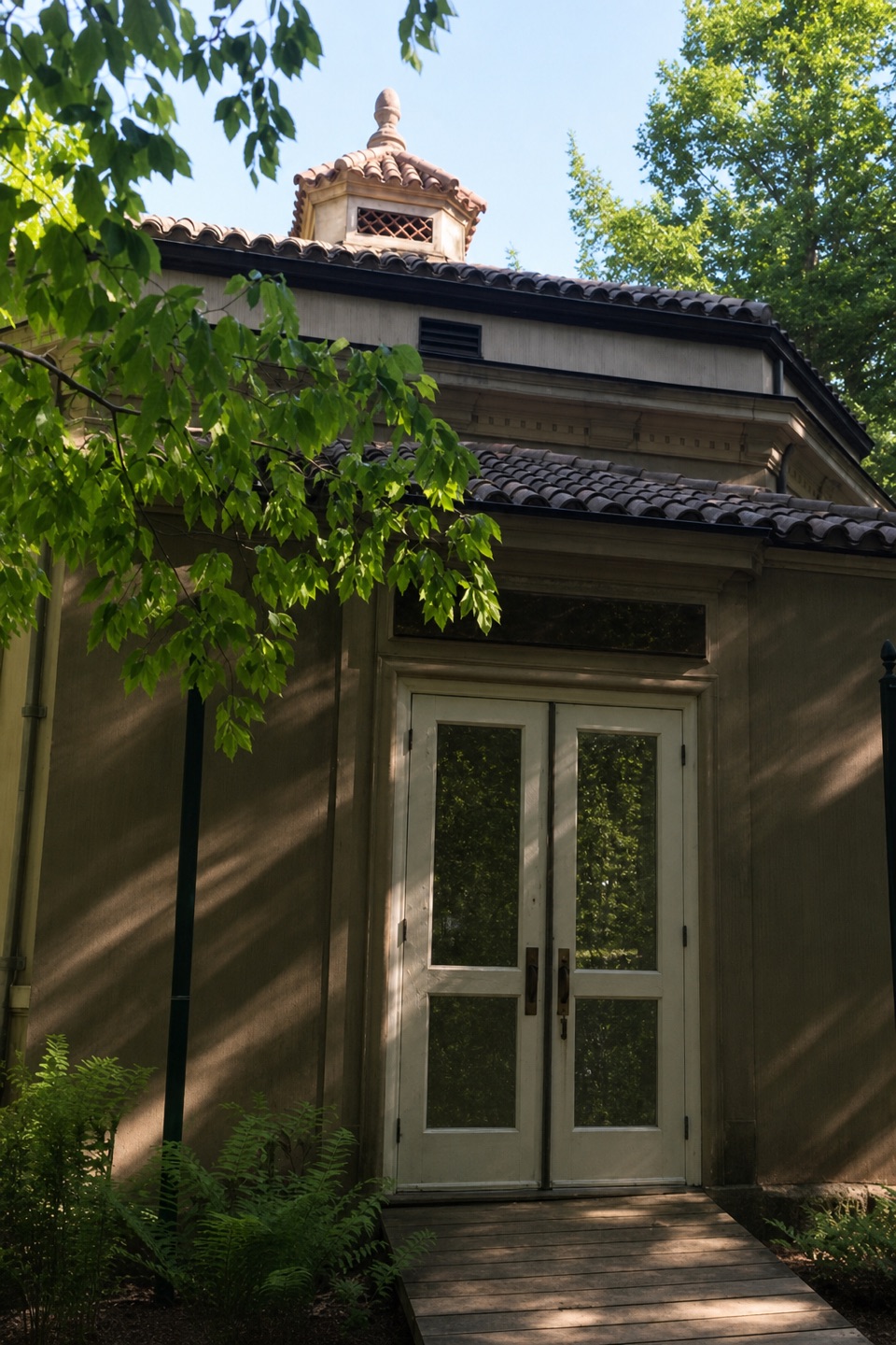 Sight · 1.8 mi awayAbbe Museum at Sieur de Monts SpringThe Abbe’s original 1928 museum, tucked into the Sieur de Monts woods.
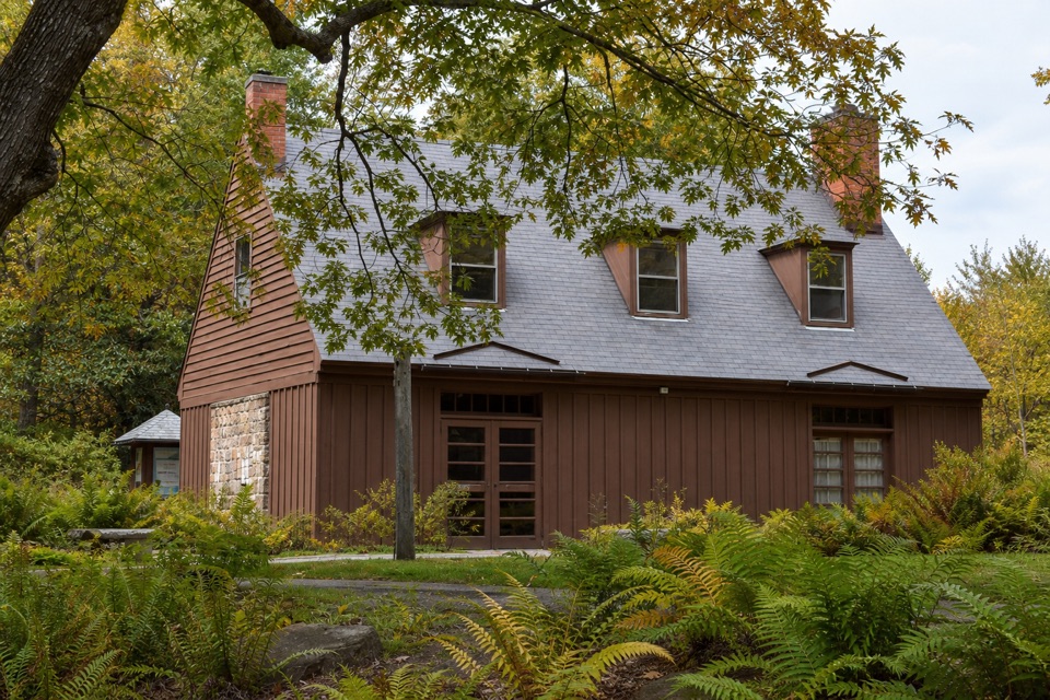 Visitor center · 1.9 mi awaySieur de Monts Nature CenterA smart first stop for Acadia’s trail choices and natural history.
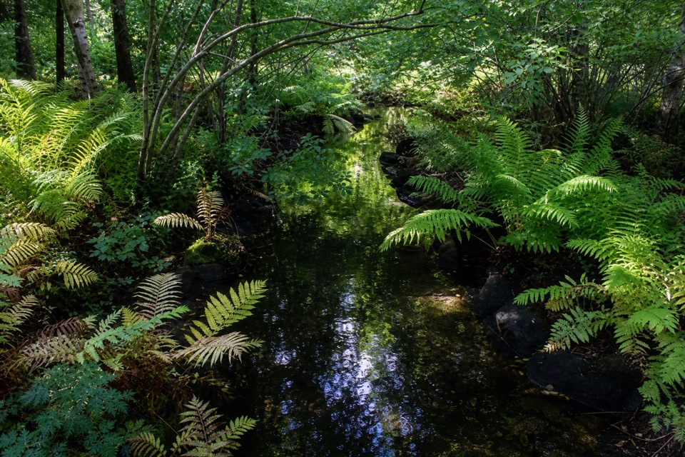 Sight · 1.9 mi awayWild Gardens of AcadiaA compact, labeled tour through native plant habitats.
Parkwolf’s Acadia ranking

The audio tour guide for the drive, plus offline maps, trails, and wildlife heatmaps for when the signal drops.




